 Block
Block
Dent, Ohio
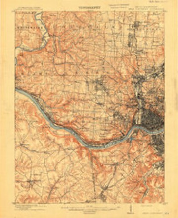
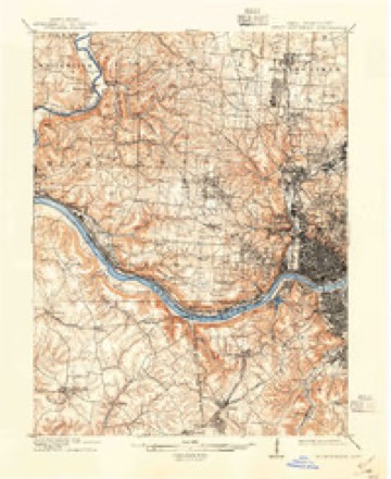
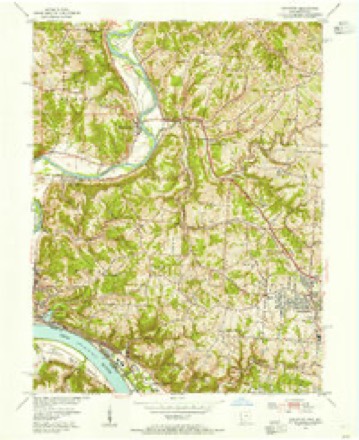
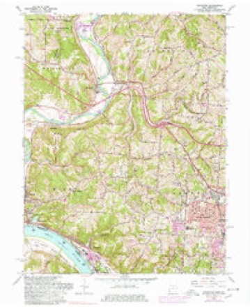
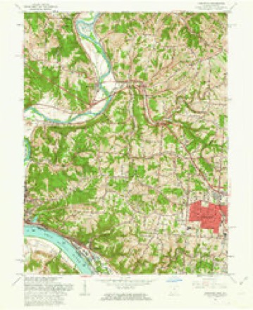
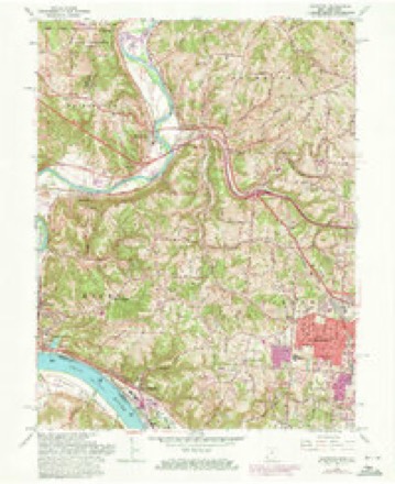
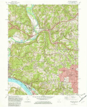
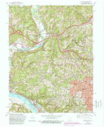
19 topographic sheets cover this place, the earliest surveyed in 1914 and the latest in 1996. It stands in Green Township. It lies in ZIP code area 45247. It stands on Briarly Creek. The Survey maps it on the Addyston quadrangle.
Then and now
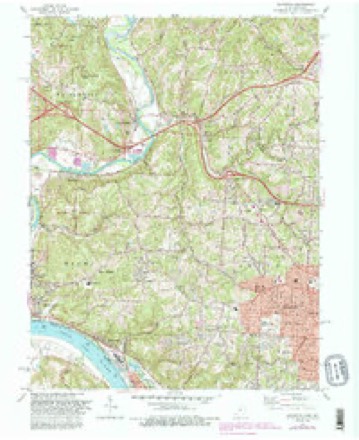
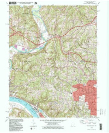
1914 to 1996The same ground, surveyed 82 years apart. Drag the handle to wipe between them. Both sheets are United States Geological Survey originals; neither has been altered.
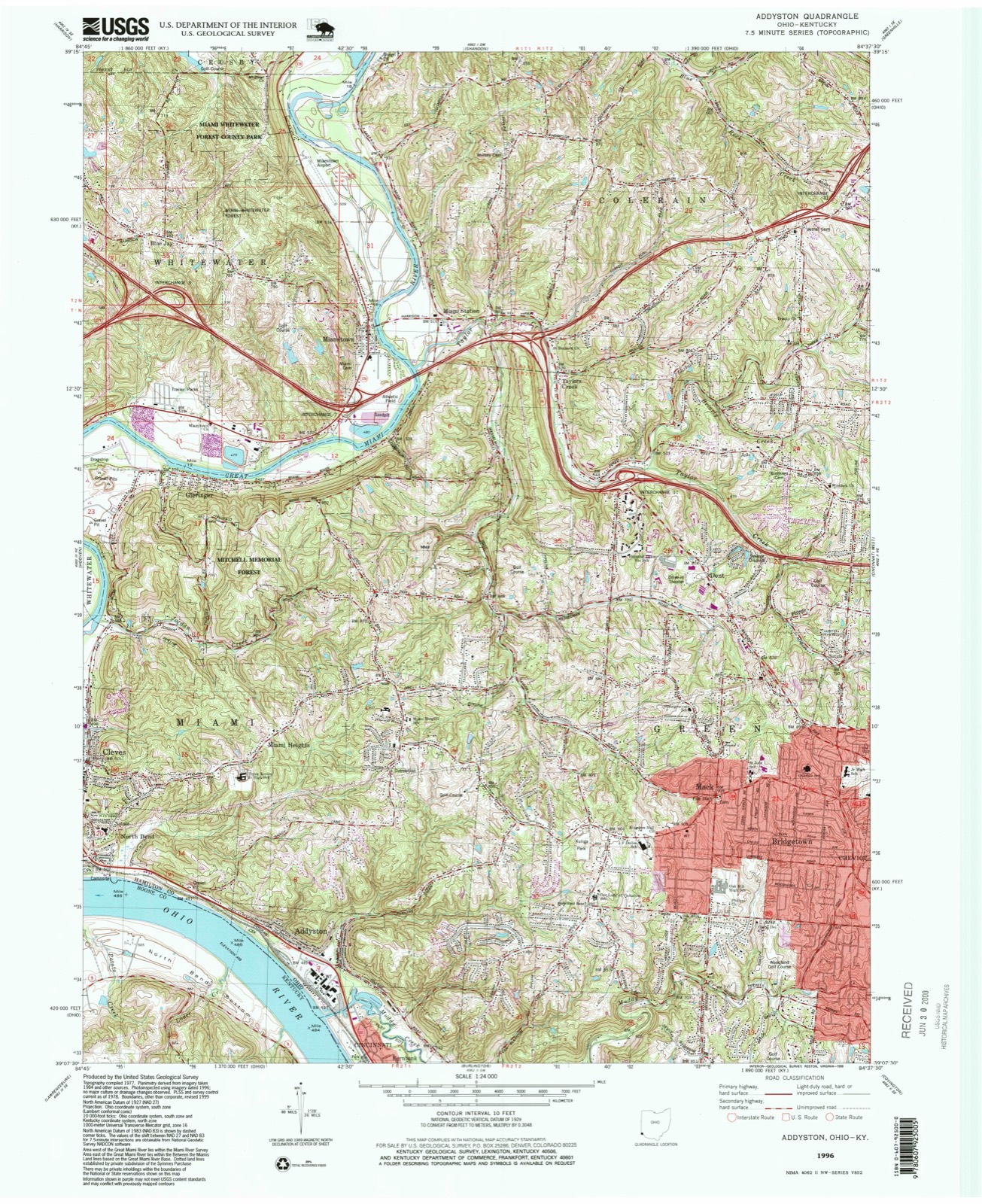
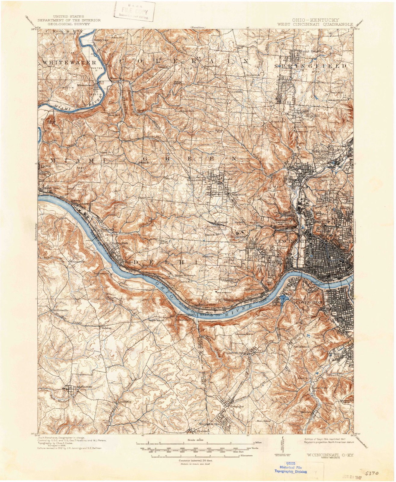
Compare 1914 against another survey:
Topographic sheets covering this place
19 sheetsMatched by testing this settlement's coordinate against the published boundary of every sheet in the United States Geological Survey's historical collection. Each opens the scanned sheet at the Survey.
- 1914 USGS West Cincinnati quadrangle1:62500
- 1914 USGS West Cincinnati quadrangle1:62500
- 1914 USGS West Cincinnati quadrangle1:62500
- 1914 USGS West Cincinnati quadrangle1:62500
- 1953 USGS Cincinnati quadrangle1:250000
- 1953 USGS Cincinnati quadrangle1:250000
- 1953 USGS Cincinnati quadrangle1:250000
- 1954 USGS Addyston quadrangle1:24000
- 1957 USGS Cincinnati quadrangle1:250000
- 1960 USGS Addyston quadrangle1:24000
- 1960 USGS Addyston quadrangle1:24000
- 1960 USGS Addyston quadrangle1:24000
- 1982 USGS Addyston quadrangle1:24000
- 1982 USGS Addyston quadrangle1:24000
- 1982 USGS Addyston quadrangle1:24000
- 1986 USGS Cincinnati quadrangle1:100000
- 1986 USGS Cincinnati quadrangle1:100000
- 1986 USGS Cincinnati quadrangle1:100000
- 1996 USGS Addyston quadrangle1:24000







What happened here
An account from the chapter on Green township, The inset identifies its exact source book and publication year.
Mrs. Sidney S. Jackson
and a half years. He was also a member of the Walnut Hill school board, and laid the corner stone ffi the first school building built under the free school law. When the late war broke out he entered the army with four sons, two of whom were killed, one at Chancellorsville, the other murdered. He was in the first battle of the west at Vienna, and served, at one time, as a member of the staff.
In the county-history sources
20,298 words on this townshipHistory of Hamilton County, Ohio, with Illustrations and Biographical Sketches, published 1881 names this settlement in its chapter on Green Township. These are the passages that mention it, exactly as the scans read.
Toward the opposite corner of the township, on the south, as the Ohio is neared, in the valley of Muddy creek, as at some other points in the township, the hills become abrupt, and command many fine views. The numerous valleys created by the water-courses render the scenery exceedingly picturesque; and many attractive building sites have been occupied in the Lick run and other valleys. Much of the territory of Green is deemed specially suited for suburban residence. Over three and a half sections in the southeastern part of the township, mostly near the line of the narrow-guage railroad, has been laid off for the suburb of Westwood; and the eastern half of sections five and six, in the northeastern corner, has been appropriated by the suburb of Mount Airy, the remainder of which lies in Mill Creek township. There is an unusual number of villages in the township - as Cheviot, Dent, Bridgetown, Weisenburgh, St. Jacob's, Sheartown, Covedale, Five Corners, Dry Ridge, and others.
Passage source: History of Hamilton County, Ohio, with Illustrations and Biographical Sketches, published 1881.
Emily Wood, wife of Emerson Wood, deceased, lives near Dent. Her husband was two years of age when his father settled in Green township, one mile northeast from the village, on one hundred acres of good land. They were married in 1832; in 1875 he died. The fruits of their marriage were four children^three sons and one daughter. The daughter and two sons are teachers; one son is now taking a course in the Normal school at Lebanon, Ohio. One son is married.
Passage source: History of Hamilton County, Ohio, with Illustrations and Biographical Sketches, published 1881.
William H. Markland is the third son living of the old pioneer Jonathan Markland, who "settled on the Cleves road, near Dry Ri3ge, in the year 1815. Here they began life, a family of thirteen children on a farm of ninetyfive acres. Jonathan was born in Virginia in the year 1791, from which State he came. William H. began business in Bridgetown, where he remained two and onehalf years - this was in 1850 - then moved to Iowa, but returned again m the year 1853, to Dry Ridge, where he has remained ever since, in charge of a store. He also owns land on Cleves pike; was married in the year 1850.
Passage source: History of Hamilton County, Ohio, with Illustrations and Biographical Sketches, published 1881.
Machine-read from a century-old scan, so expect the errors a machine makes: misspelled names, dropped words, stray characters.
Read the whole chapter on Green Township - it names this place 4 more 4 times.
Specimens collected near this place
12 of 3,572 shownRegional context, not property-specific evidence. Museums hold 3,572 specimens collected within 10 miles of Dent between 1819 and 1975: 1,441 Fungi, 1,241 Animalia, 745 Plantae, 120 Protozoa, 13 Chromista, 11 Unrecorded, 1 Bacteria. 12 distinct Species records are shown. Collected by A Schwartz, A. Braun, A. F. Braun and others. Each is a physical object with a catalogue number, and each entry opens the museum's record. This is what was collected and kept, not a survey of what lives here - nothing can be concluded from a species being absent.
| Image | Species | Year | Collected by | Where, as recorded |
|---|---|---|---|---|
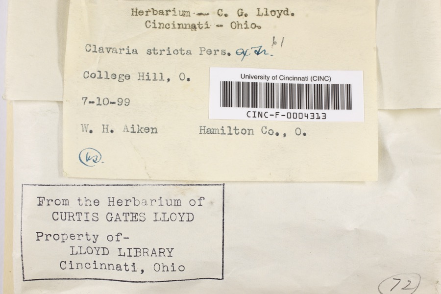 | Clavaria striata Pers. | 1899 | Aiken, Walter H. | College Hill |
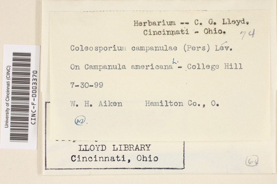 | Coleosporium campanulae (Pers.) Tul. | 1899 | Aiken, Walter H. | College Hill |
 | Corticium polyporoideum Berk. & M.A.Curtis | 1899 | C.G. Lloyd | Cincinnati |
 | Quercus × leana Nutt. | 1819 | Thomas Nuttall | 3 miles North of Cincinnati |
 | Atrichum angustatum (Brid.) Bruch & Schimp. | 1820 | T. G. Lea | probably Cincinnatti |
 | Barbula unguiculata Hedw. | 1820 | T. G. Lea | probably Cincinnatti |
 | Equisetum arvense L. | 1834 | Short, Charles Wilkins; Lea, Thomas G. | Cincinnati |
 | Carex davisii Schwein. & Torr. | 1835 | Frank | in ditione Miami civitatis Ohio |
 | Carex lupulina Muhl. ex Willd. | 1835 | Joseph C. Frank | Cincinnati. |
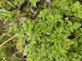 | Chaerophyllum procumbens (L.) Crantz | 1835 | Joseph C. Frank | Cincinnati |
 | Mentha arvensis var. glabrata (Benth.) Fernald | 1835 | Collector unspecified | Miami. |
 | Phleum pratense L. | 1835 | Joseph C. Frank | Cincinnati |
All 3,572 specimens within 10 miles, at the Global Biodiversity Information Facility.
Mines and quarries near this place
8 within 5 milesRegional context, not property-specific evidence. The federal mineral resources record lists 8 workings within 5 miles of Dent: 6 past producers, 1 producer, 1 plant. 2 still produce. What was taken out: Sand and Gravel, Construction. Distance is straight-line from the map coordinates, so a quarry counted here may appear on a neighbouring settlement's page as well.
| Where | Site | Commodity | Status | Recorded |
|---|---|---|---|---|
| Barrett Paving Pit | Sand and Gravel, Construction | Past Producer | Sedimentary | |
| East Miami Pit | Sand and Gravel, Construction | Past Producer | Sedimentary | |
| East Miami Pit & Mill | Sand and Gravel, Construction | Plant | ||
| Karen Lynn Materials | Sand and Gravel, Construction | Past Producer | ||
| Miamitown Pit | Sand and Gravel, Construction | Past Producer | Sedimentary | |
| Miamitown Pit | Sand and Gravel, Construction | Past Producer | Sedimentary | |
| Miamitown Pit | Sand and Gravel, Construction | Past Producer | ||
| Miamitown Sand and Gravel | Sand and Gravel, Construction | Producer |
Storms near this place
11 since 1998Regional context, not property-specific evidence. The National Weather Service names Dent in 11 storm reports between 1998 and 2024: 4 hail, 4 thunderstorm wind, 2 flash flood, 1 flood. No death or injury is recorded in these reports. Each account below is quoted exactly as the forecast office filed it, from the NOAA Storm Events Database, and each date opens the federal record of that event.
| When | Event | Place named | Harm | What the report says |
|---|---|---|---|---|
| June 2011 | Flash Flood | Dent | $15,000 | There were several reports of creeks out of their banks with water flowing over roadways. Parked cars were swept two-hundred feet at one location. These occurrences were due to flash flooding caused by heavy rains. |
| August 2024 | Thunderstorm Wind | Dent | $5,000 | A tree snapped and fell onto a car. |
| May 2018 | Thunderstorm Wind | Dent | $3,000 | Several trees were downed. |
| May 2018 | Thunderstorm Wind | Dent | $1,000 | A large tree was downed. |
| April 2011 | Flood | Dent | $1,000 | Six inches to a foot of standing water was reported on roadways. |
| May 2017 | Flash Flood | Dent | - | Water was reported rushing over Race Road near West Fork Road. |
| March 2017 | Hail | Dent | - | no account filed |
| May 2012 | Hail | Dent | - | no account filed |
| July 2012 | Thunderstorm Wind | Dent | - | no account filed |
| May 2011 | Hail | Dent | - | no account filed |
| May 1998 | Hail | Dent | - | no account filed |
Nearest settlements
The eight closest, with where each one stands in the county. Distances are straight-line, computed from the Geographic Names Information System coordinates.
| Map | Place | Distance | Sheets |
|---|---|---|---|
| Mack | 1.9 miles | 19 | |
| Taylors Creek | 2.1 miles | 19 | |
| Bridgetown | 2.4 miles | 19 | |
| Saint Jacobs | 2.7 miles | 18 | |
| Cheviot | 2.8 miles | 18 | |
| Oakdale | 3.0 miles | 18 | |
| Monfort Heights | 3.0 miles | 18 | |
| Miami Station | 3.1 miles | 19 |
Provenance
This settlement is recorded in the Geographic Names Information System as feature 1064530. The sheet list is computed by point-in-boundary test against the United States Geological Survey's historical topographic inventory. Both are works of the United States government and carry no copyright under 17 U.S.C. 105.
Specimens. Global Biodiversity Information Facility (GBIF), https://www.gbif.org/. Only records licensed CC0 or CC BY are used. Records licensed CC BY-NC are excluded because this site carries advertising. Images are checked individually and any whose licence is non-commercial, no-derivatives or unreadable is refused.
Mines and quarries. USGS Mineral Resources Data System (MRDS) https://mrdata.usgs.gov/mrds/ A work of the United States government, no copyright under 17 U.S.C. 105.
Storms. NOAA National Centers for Environmental Information, Storm Events Database https://www.ncei.noaa.gov/stormevents/ A work of the United States government, no copyright under 17 U.S.C. 105. Narratives are quoted verbatim from the National Weather Service report and are not edited or summarised.