 Block
Block
Taylors Creek, Ohio
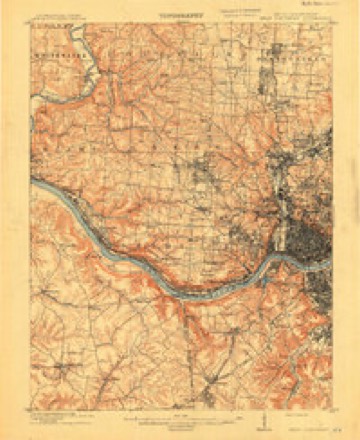
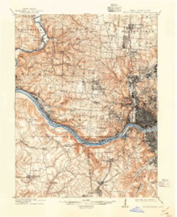
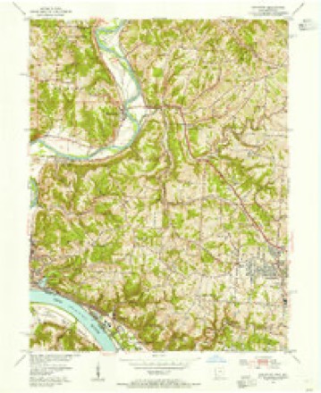
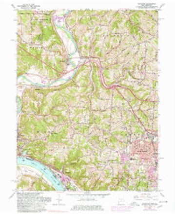
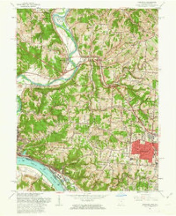
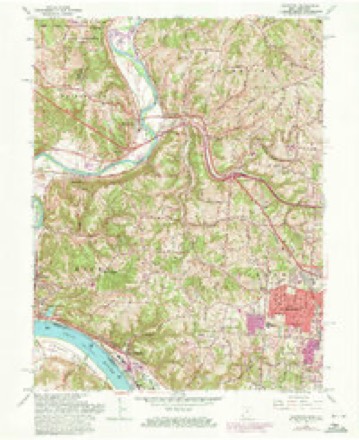
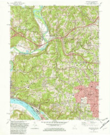
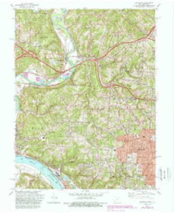
19 topographic sheets cover this place, the earliest surveyed in 1914 and the latest in 1996. It stands in Colerain Township. It lies in ZIP code area 45247. It stands on South Fork Taylors Creek. The Survey maps it on the Addyston quadrangle.
Then and now
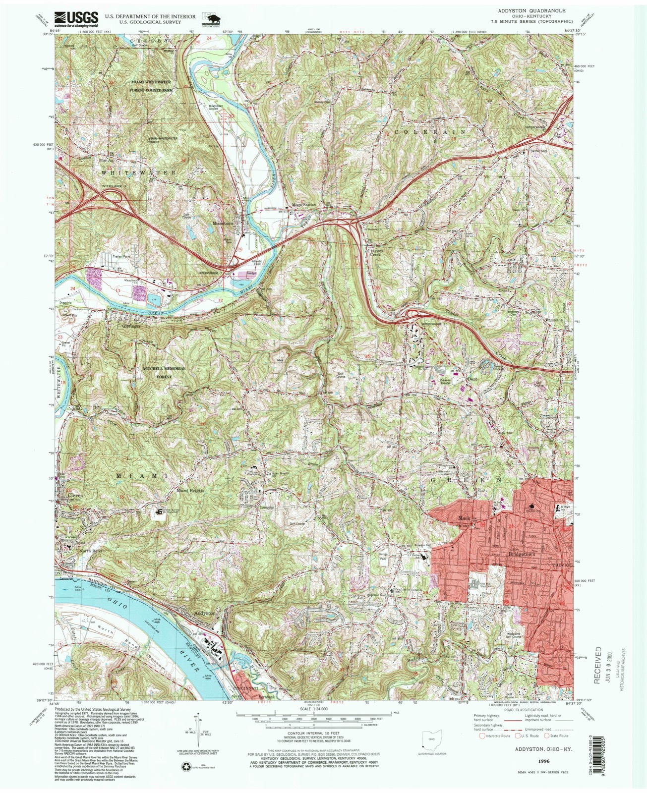
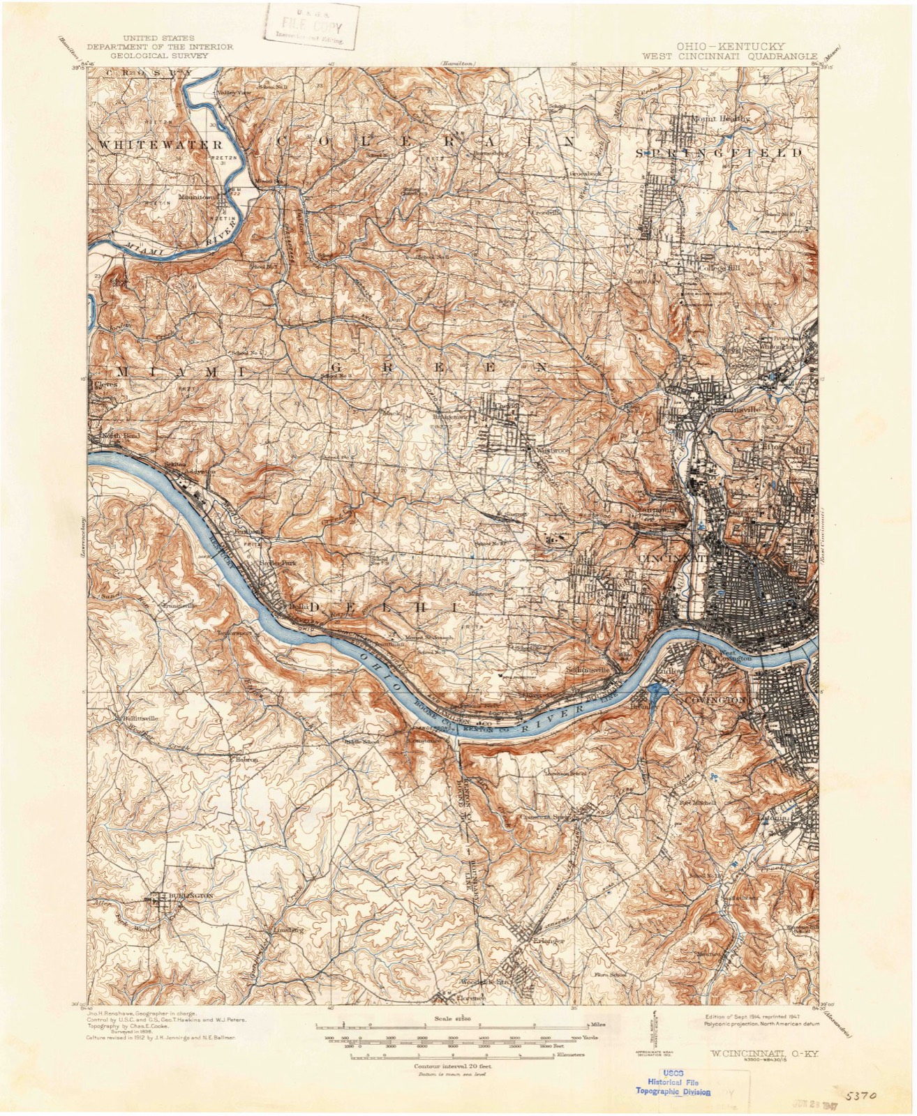
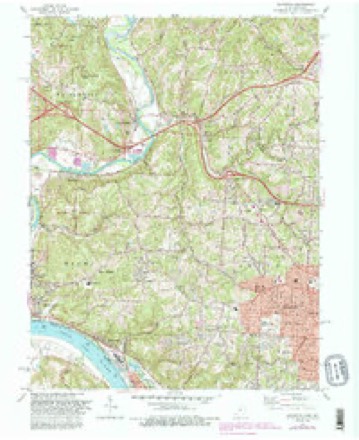
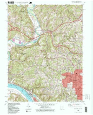
1914 to 1996The same ground, surveyed 82 years apart. Drag the handle to wipe between them. Both sheets are United States Geological Survey originals; neither has been altered.
Compare 1914 against another survey:
Topographic sheets covering this place
19 sheetsMatched by testing this settlement's coordinate against the published boundary of every sheet in the United States Geological Survey's historical collection. Each opens the scanned sheet at the Survey.
- 1914 USGS West Cincinnati quadrangle1:62500
- 1914 USGS West Cincinnati quadrangle1:62500
- 1914 USGS West Cincinnati quadrangle1:62500
- 1914 USGS West Cincinnati quadrangle1:62500
- 1953 USGS Cincinnati quadrangle1:250000
- 1953 USGS Cincinnati quadrangle1:250000
- 1953 USGS Cincinnati quadrangle1:250000
- 1954 USGS Addyston quadrangle1:24000
- 1957 USGS Cincinnati quadrangle1:250000
- 1960 USGS Addyston quadrangle1:24000
- 1960 USGS Addyston quadrangle1:24000
- 1960 USGS Addyston quadrangle1:24000
- 1982 USGS Addyston quadrangle1:24000
- 1982 USGS Addyston quadrangle1:24000
- 1982 USGS Addyston quadrangle1:24000
- 1986 USGS Cincinnati quadrangle1:100000
- 1986 USGS Cincinnati quadrangle1:100000
- 1986 USGS Cincinnati quadrangle1:100000
- 1996 USGS Addyston quadrangle1:24000







What happened here
An account from the chapter on Colerain township, in the words of 1881.
Population Jared Cloud
of Colerain township, was born on St. Patrick's day, the seventeenth of March, 1808; is Of Welsh, and Enghsh descent on his father's side and of French descent on that of his mother. Mason Jones Cloud, his grandfather, came from Virginia about the year 1778, and settled in Boone county, Kentucky. Unfortunately for the fate of Mason, he was required to return to Virginia for a sum of money there due him, and after only a three days' stay in his new home, in company with two others, set out on his perilous trip, and, with his companions, was massacred on Licking river by the hostile Indians.
In the 1881 county history
9,514 words on this townshipThe county history of 1881 has no passage naming this settlement, which was common for the smaller places. Its township is covered in full.
The chapter on Colerain Township covers the township.
Read the chapter on Colerain Township - 9,514 words.
Specimens collected nearby
12 of 2,771 shownMuseums hold 2,771 specimens collected within 10 miles of Taylors Creek between 1819 and 1975: 1,256 Fungi, 841 Animalia, 540 Plantae, 114 Protozoa, 11 Chromista, 8 Unrecorded, 1 Bacteria. 12 distinct Species records are shown. Collected by A Schwartz, A. P. Morgan, A. R. Gaufin and others. Each is a physical object with a catalogue number, and each entry opens the museum's record. This is what was collected and kept, not a survey of what lives here - nothing can be concluded from a species being absent.
| Image | Species | Year | Collected by | Where, as recorded |
|---|---|---|---|---|
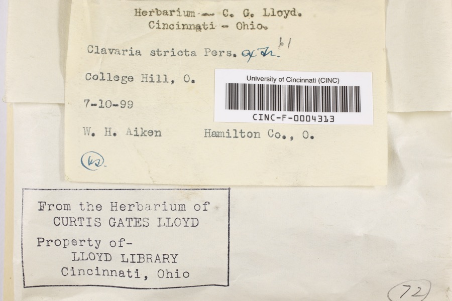 | Clavaria striata Pers. | 1899 | Aiken, Walter H. | College Hill |
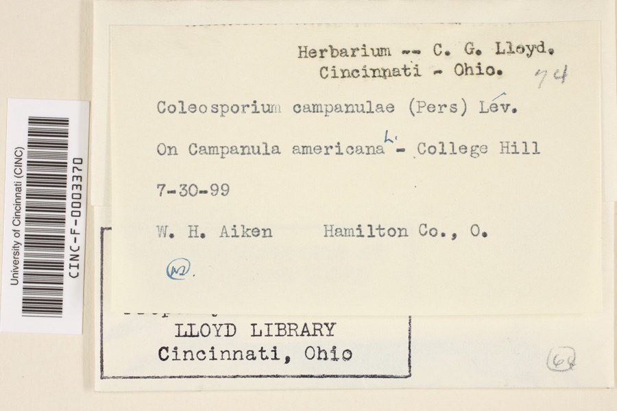 | Coleosporium campanulae (Pers.) Tul. | 1899 | Aiken, Walter H. | College Hill |
 | Corticium polyporoideum Berk. & M.A.Curtis | 1899 | C.G. Lloyd | Cincinnati |
 | Quercus × leana Nutt. | 1819 | Thomas Nuttall | 3 miles North of Cincinnati |
 | Atrichum angustatum (Brid.) Bruch & Schimp. | 1820 | T. G. Lea | probably Cincinnatti |
 | Barbula unguiculata Hedw. | 1820 | T. G. Lea | probably Cincinnatti |
 | Equisetum arvense L. | 1834 | Short, Charles Wilkins; Lea, Thomas G. | Cincinnati |
 | Carex davisii Schwein. & Torr. | 1835 | Frank | in ditione Miami civitatis Ohio |
 | Mentha arvensis var. glabrata (Benth.) Fernald | 1835 | Collector unspecified | Miami. |
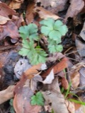 | Sanicula canadensis L. | 1835 | Frank | in ditione Miami civitatis Ohio |
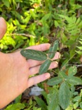 | Desmodium Desv. | 1836 | Short, C.W. | Fernbank - ad ripas fluminis Ohio prope 'North Bend' [banks of Ohio River near North Bend]. |
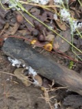 | Dicentra Bernh. | 1836 | Short, C.W. | Fernbank [=Fernbank Park] ad ripas fluminensis Ohio, prope North Bend, Kentucky. |
All 2,771 specimens within 10 miles, at the Global Biodiversity Information Facility.
Mines and quarries nearby
10 of 12 shownThe federal mineral resources record lists 12 workings within 5 miles of Taylors Creek: 6 past producers, 5 producers, 1 plant. 6 still produce. What was taken out: Sand and Gravel, Construction. Distance is straight-line from the map coordinates, so a quarry counted here may appear on a neighbouring settlement's page as well.
| Where | Site | Commodity | Status | Recorded |
|---|---|---|---|---|
| Allied Chem Corp Pit | Sand and Gravel, Construction | Producer | ||
| Barrett Paving Pit | Sand and Gravel, Construction | Past Producer | Sedimentary | |
| Cleves Plant Number 6 Pit | Sand and Gravel, Construction | Producer | ||
| East Miami Pit | Sand and Gravel, Construction | Past Producer | Sedimentary | |
| East Miami Pit & Mill | Sand and Gravel, Construction | Plant | ||
| Karen Lynn Materials | Sand and Gravel, Construction | Past Producer | ||
| Leonard Pit | Sand and Gravel, Construction | Producer | ||
| Miamitown Pit | Sand and Gravel, Construction | Past Producer | Sedimentary | |
| Miamitown Pit | Sand and Gravel, Construction | Past Producer | Sedimentary | |
| Miamitown Pit | Sand and Gravel, Construction | Past Producer |
Storms nearby
4 since 2016The National Weather Service names Taylors Creek in 4 storm reports between 2016 and 2023: 2 flash flood, 1 flood, 1 thunderstorm wind. No death or injury is recorded in these reports. Each account below is quoted exactly as the forecast office filed it, from the NOAA Storm Events Database, and each date opens the federal record of that event.
| When | Event | Place named | Harm | What the report says |
|---|---|---|---|---|
| July 2023 | Thunderstorm Wind | Taylors Creek | $100 | A large branch was downed. |
| May 2018 | Flood | Taylors Creek | - | High water was reported on the roadway near the intersection of Rybolt Road and Harrison Avenue. |
| May 2017 | Flash Flood | Taylors Creek | - | Rapidly moving water was observed over a portion of Sheed Road. |
| August 2016 | Flash Flood | Taylors Creek | - | High water was reported up to the bottom of cars at the intersection of Harrison Ave. and Rybolt Rd. |
Nearest settlements
The eight closest, with where each one stands in the county. Distances are straight-line, computed from the Geographic Names Information System coordinates.
| Map | Place | Distance | Sheets |
|---|---|---|---|
| Miami Station | 1.1 miles | 19 | |
| Miamitown | 1.6 miles | 19 | |
| Dent | 2.1 miles | 19 | |
| Valley View (historical) | 2.8 miles | 19 | |
| Grandview | 2.9 miles | 19 | |
| Barnesburg | 3.0 miles | 18 | |
| Gieringer | 3.5 miles | 19 | |
| Blue Jay | 3.5 miles | 19 |
Provenance
This settlement is recorded in the Geographic Names Information System as feature 1063052. The sheet list is computed by point-in-boundary test against the United States Geological Survey's historical topographic inventory. Both are works of the United States government and carry no copyright under 17 U.S.C. 105.
Specimens. Global Biodiversity Information Facility (GBIF), https://www.gbif.org/. Only records licensed CC0 or CC BY are used. Records licensed CC BY-NC are excluded because this site carries advertising. Images are checked individually and any whose licence is non-commercial, no-derivatives or unreadable is refused.
Mines and quarries. USGS Mineral Resources Data System (MRDS) https://mrdata.usgs.gov/mrds/ A work of the United States government, no copyright under 17 U.S.C. 105.
Storms. NOAA National Centers for Environmental Information, Storm Events Database https://www.ncei.noaa.gov/stormevents/ A work of the United States government, no copyright under 17 U.S.C. 105. Narratives are quoted verbatim from the National Weather Service report and are not edited or summarised.