 Block
Block
Donnelsville, Ohio
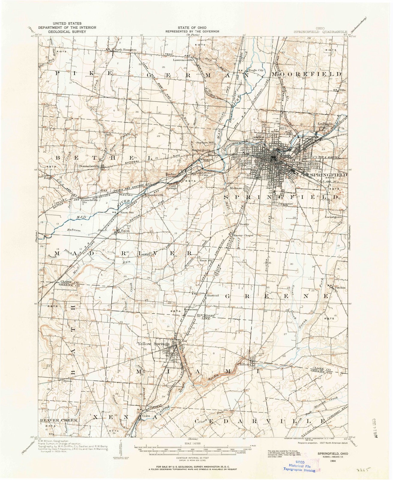
14 topographic sheets cover this place, the earliest surveyed in 1904 and the latest in 1986. It stands in Bethel Township. It lies in ZIP code area 45319. It stands on East Fork Donnels Creek. The Survey maps it on the Donnelsville quadrangle. 255 people lived here at the 2020 count. It stands 932 feet above sea level.
Population over time
2 figuresDonnelsville fell from 304 to 255 between 2010 and 2020. These are the recorded population figures Wikidata holds for this place, reached through the Geographic Names Information System number this page is keyed on rather than by name, so they belong to this place and not to another of the same name. Most are census counts, but not all are: an early figure may be a founding or settlement estimate. The change column is computed, and is left blank where more than 20 years separate a figure from the one before it, because a gap that long is not a change between two counts.
| Year | People | Change |
|---|---|---|
| 2010 | 304 | |
| 2020 | 255 | -49 (-16%) |
Then and now
1904 to 1986The same ground, surveyed 82 years apart. Drag the handle to wipe between them. Both sheets are United States Geological Survey originals; neither has been altered.

Topographic sheets covering this place
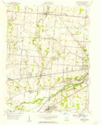
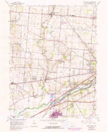
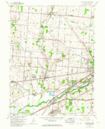
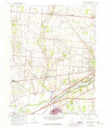
14 sheetsMatched by testing this settlement's coordinate against the published boundary of every sheet in the United States Geological Survey's historical collection. Each opens the scanned sheet at the Survey.
- 1904 USGS Springfield quadrangle1:62500
- 1904 USGS Springfield quadrangle1:62500
- 1906 USGS Springfield quadrangle1:62500
- 1947 USGS Columbus quadrangle1:250000
- 1955 USGS Donnelsville quadrangle1:24000
- 1961 USGS Columbus quadrangle1:250000
- 1962 USGS Columbus quadrangle1:250000
- 1965 USGS Donnelsville quadrangle1:24000
- 1965 USGS Donnelsville quadrangle1:24000
- 1965 USGS Donnelsville quadrangle1:24000
- 1967 USGS Columbus quadrangle1:250000
- 1967 USGS Columbus quadrangle1:250000
- 1986 USGS Springfield quadrangle1:100000
- 1986 USGS Springfield quadrangle1:100000







In the county-history sources
43,588 words on this townshipIllustrated Historical Atlas of Clark County, Ohio, published 1875; The History of Clark County Ohio,, published 1881 names this settlement in its chapter on Bethel Township. These are the passages that mention it, exactly as the scans read.
After w severe two hours! fight during the night, the men reached Harper's Ferry. 'The regiment camped fora time near New York and Brooklyn. September 6, they guard a train in Virginia, Oclober 10, they stund to urms all wight, and next day take pluce on the first line nem the Rappabunnock. November 7, they cornered and captured ao number of prisovers. Shelled at Brandy Station, acting vs train-guard, and fighting at Locust Grove, the men finally go into winter quarters at the Station. May 4, the regiment buving passed the Rupidan at Germania Ford, take position on the extreme right iu the Wilderness. They skirmish, charge, and, driving the enemy, hold bis works till dark, and then go back for ammunition. Ilere they lose ninelcen killed, eighty-cight wounded, and eleven missing. Next day they withstand artillery, and wt night fall buck, After several skirmishes, the 110th engage the one upon the banks of Mad River, the other on a tributary, and supplied a convenionce to the farmiug interest. James Leffel is imperfectly known as the inventor of the double turbine water-wheels, g0 extensively manufactured at Springfield, and generally demanded the world over. Personally the inyention was not lugrative, but his widow realizes fro this source u bandsome income. Sumuel Smith was w settler on the creek above Donnelsville in 1510, Ile was no eceentri¢ character. In 1808, Jacob Funderbaugh, of Virginia, bronght on a family of eight children, John, Daniel, and David Miller took up lands in tho north of the township. Dounelaville, a village of two or three hundred inhabitants, was laid out August 6, 1886, by James Donnels and Alwabam Smith, Reuben Miller being surveyor. Its growth waa rapid for Lwo or three years, and then ceased, The first house was moved from Lowry's paper-mill. Donunelg kept the first tavern, John Movorehonse the first store, and Wood tho first The Methodists erected here a church in 1842, was platted August 24, 1816, by Archibald Stoel, and the auknowledgment taken before Samuel Smith, a jnstive of the ponce. The first house was built ly Jacob Hersey, the proprietor of whut was culled the MeQueen Mill." also the first postmaster of the village. New Carlisle, a town of some hundred people, was formerly known as Monroe. It was laid out by Wim. M. Rayburn on July 25, 1818, John Cram beiag justice of the peace at the timu.
Passage source: Illustrated Historical Atlas of Clark County, Ohio, published 1875.
In January, 1844, Elder T. J. Price was again called to the pastorate of Bethel Church, which continued until August, 1876, when the infirmities of old age compelled him to give up allof his ministerial duties. During Elder Price's pastorate, the record shows that the church had been visited and protracted meetings held by Elders Daniel Bryant, William Sym, John Hawk, W. Martin, William Fuson, J. Lyon, D. Runkle, N. Colver and Harris. During this, there were many additions to the church. The present Pastor, W. R. Thomas, was called in 1876. In 1879, deeming the old church building too small, and needing much repair, the church determined to build a new house. The liberal subscriptions of the members of the church and well-wishers outside resulted in the erection of the beautiful, commodious structure now occupying the site of the old building. The new house was dedicated January 25,1850. Elder J. B. Tuttle,
Passage source: The History of Clark County Ohio,, published 1881.
Among the blacksmiths, Joseph Sipes was the first; after him was Nelson Hardman, T. J. Barton, John Hall William Pottle, Franklin Roch. James Vanostran, who was also a plow-maker, was for a time engaged with William D. Miller in the village in the manufacture of the well-known " Miller plow." The first resident shoe-maker was Mr. Weaver; after him, J. R. King, Davidson Maple, J. Blackert, J. Hammond, William Maple and others. Cabinet-makers, the first was Hitchcock; after him, Conrad Kurtz, who also for a time engaged in the undertaking business. At that time, it was common to run a hearse with a single horse. Mr. Kurtz followed the usual custom in this respect. Among the early residents in the cooper trade were William Barton, Silas Chappell, Peter Miller, Edwin Barton and others.
Passage source: The History of Clark County Ohio,, published 1881.
Machine-read from a century-old scan, so expect the errors a machine makes: misspelled names, dropped words, stray characters.
Read the whole chapter on Bethel Township - it names this place 7 more 7 times.
Fires near this place
3 since 2002Regional context, not property-specific evidence. The federal wildfire occurrence database lists 3 fires within 5 miles of Donnelsville between 2002 and 2002, burning about 2 acres in total. 1 started naturally. None was recorded as arson. Distance is straight-line from the map coordinates, so a fire counted here may appear on a neighbouring settlement's page as well.
| Reported cause | Fires |
|---|---|
| Natural | 1 |
| Missing data/not specified/undetermined | 1 |
| Recreation and ceremony | 1 |
The most recent of them, most recent first, with the day each was reported and the service that recorded it.
| Date | Cause | Size | Reported by | Name on the report |
|---|---|---|---|---|
| 12 September 2002 | Missing data/not specified/undetermined | 1.0 acres | Ohio State Fire Marshal's Office | not named |
| 25 October 2002 | Natural | under an acre | Ohio State Fire Marshal's Office | not named |
| 1 October 2002 | Recreation and ceremony | under an acre | Ohio State Fire Marshal's Office | not named |
Settlements close enough to share some of these fires:
Specimens collected near this place
12 of 697 shownRegional context, not property-specific evidence. Museums hold 697 specimens collected within 10 miles of Donnelsville between 1840 and 1975: 367 Animalia, 239 Plantae, 82 Fungi, 7 Protozoa, 1 Unrecorded, 1 Chromista. 12 distinct Species records are shown. Collected by 73.7; J.H., A JOHN, A. Barron and others. Each is a physical object with a catalogue number, and each entry opens the museum's record. This is what was collected and kept, not a survey of what lives here - nothing can be concluded from a species being absent.
| Image | Species | Year | Collected by | Where, as recorded |
|---|---|---|---|---|
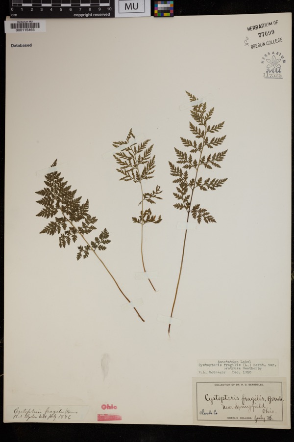 | Cystopteris protrusa (Weath.) Blasdell | 1878 | Beardslee, H.C. | near Springfield |
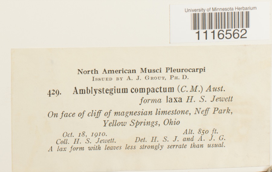 | Conardia compacta (Müll.Hal.) H.Rob. | 1910 | H.S. Jewett | Neff Park, Yellow Springs |
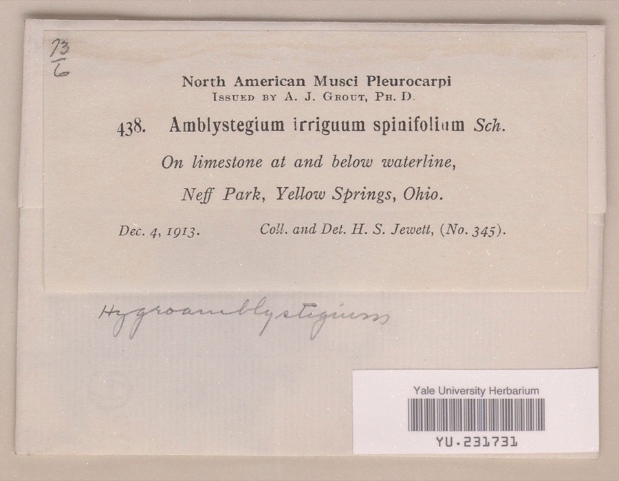 | Hygroamblystegium irriguum var. spinifolium Mönk. | 1913 | Henry S. Jewett | Neff Park |
 | Caulophyllum thalictroides (L.) Michx. | 1840 | Williams, M.G. | Springfield |
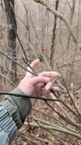 | Staphylea trifolia L. | 1840 | Williams, M.G. | Springfield |
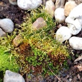 | Funaria hygrometrica Hedw. | 1846 | not recorded | Springfield |
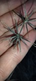 | Bidens bipinnata L. | 1870 | J Y Bergen; T L Bergen | Yellow Springs |
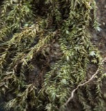 | Bryhnia graminicolor (Brid.) Grout | 1870 | J. W. Eckfeldt | near Springfield |
 | Bryum pseudotriquetrum var. bimum (Schreb.) Lilj. | 1870 | J. W. Eckfeldt | Springfield |
 | Hygroamblystegium tenax subsp. orthocladon (P.Beauv.) Wijk & Margad. | 1870 | J. W. Eckfeldt | Springfield |
 | Schwetschkeopsis denticulata (Sull.) Broth. | 1870 | J. W. Eckfeldt | Springfield |
 | Amblystegium serpens var. angustifolium H.Lindb. ex Limpr. | 1871 | H. J. Biddlecome | Springfield |
All 697 specimens within 10 miles, at the Global Biodiversity Information Facility.
Mines and quarries near this place
3 within 5 milesRegional context, not property-specific evidence. The federal mineral resources record lists 3 workings within 5 miles of Donnelsville: 2 producers, 1 past producer. 2 still produce. What was taken out: Sand and Gravel, Construction, Stone, Crushed/Broken. Distance is straight-line from the map coordinates, so a quarry counted here may appear on a neighbouring settlement's page as well.
| Where | Site | Commodity | Status | Recorded |
|---|---|---|---|---|
| Springfield Quarry | Stone, Crushed/Broken | Producer | ||
| Enon Pit | Sand and Gravel, Construction | Past Producer | Sedimentary | |
| Enon Pit & Mill | Sand and Gravel, Construction | Producer |
Storms near this place
9 since 1999Regional context, not property-specific evidence. The National Weather Service names Donnelsville in 9 storm reports between 1999 and 2025: 7 thunderstorm wind, 2 flood. No death or injury is recorded in these reports. Each account below is quoted exactly as the forecast office filed it, from the NOAA Storm Events Database, and each date opens the federal record of that event.
| When | Event | Place named | Harm | What the report says |
|---|---|---|---|---|
| June 2008 | Thunderstorm Wind | Donnelsville | $10,000 | A fifteen-foot by twenty-foot carport was blown down. |
| July 1999 | Thunderstorm Wind | Donnelsville | $5,000 | Trees downed. |
| June 2005 | Thunderstorm Wind | Donnelsville | $3,000 | Trees and power poles were knocked down. |
| March 2018 | Thunderstorm Wind | Donnelsville | $2,000 | A couple of trees were downed. |
| July 2025 | Thunderstorm Wind | Donnelsville | $1,000 | A tree was downed. |
| June 2020 | Thunderstorm Wind | Donnelsville | $1,000 | A very large tree was knocked down in the 6000 block of U.S. 40. |
| July 2013 | Thunderstorm Wind | Donnelsville | $1,000 | A large limb was reported down in Donnelsville due to thunderstorm winds. |
| November 2017 | Flood | Donnelsville | - | One to two feet of water was reported on north Hampton Road. |
| December 2013 | Flood | Donnelsville | - | Several roads remained closed in the western portions of Clark County due to high water caused by heavy rainfall. |
Nearest settlements
The eight closest, with where each one stands in the county. Distances are straight-line, computed from the Geographic Names Information System coordinates.
| Map | Place | Distance | Sheets |
|---|---|---|---|
| Anlo | 1.5 miles | 14 | |
| Mad River | 2.0 miles | 14 | |
| Sycamore West | 2.2 miles | 14 | |
| Snyderville | 2.2 miles | 14 | |
| Broadview Acres | 2.2 miles | 14 | |
| Forgy | 2.3 miles | 14 | |
| Enon | 2.8 miles | 14 | |
| Funderberg (historical) | 2.9 miles | 13 |
Elsewhere
Matched on this settlement's Geographic Names Information System number rather than its name, so it cannot be a different place of the same name in another state.
| Wikipedia article on Donnelsville | An encyclopaedic summary. Its text is share-alike, so it is linked here rather than copied. |
| Wikidata item Q2213279 | The structured record the population and elevation above come from. Public domain (CC0). |
Provenance
This settlement is recorded in the Geographic Names Information System as feature 1064547. The sheet list is computed by point-in-boundary test against the United States Geological Survey's historical topographic inventory. Both are works of the United States government and carry no copyright under 17 U.S.C. 105.
Wildfire. Short, Karen C. 2022. Spatial wildfire occurrence data for the United States, 1992-2020 [FPA_FOD_20221014]. 6th Edition. Fort Collins, CO: Forest Service Research Data Archive. https://doi.org/10.2737/RDS-2013-0009.6 Collected with United States Government funding and usable without additional permissions or fees.
Specimens. Global Biodiversity Information Facility (GBIF), https://www.gbif.org/. Only records licensed CC0 or CC BY are used. Records licensed CC BY-NC are excluded because this site carries advertising. Images are checked individually and any whose licence is non-commercial, no-derivatives or unreadable is refused.
Mines and quarries. USGS Mineral Resources Data System (MRDS) https://mrdata.usgs.gov/mrds/ A work of the United States government, no copyright under 17 U.S.C. 105.
Storms. NOAA National Centers for Environmental Information, Storm Events Database https://www.ncei.noaa.gov/stormevents/ A work of the United States government, no copyright under 17 U.S.C. 105. Narratives are quoted verbatim from the National Weather Service report and are not edited or summarised.