 Block
Block
Forgy, Ohio
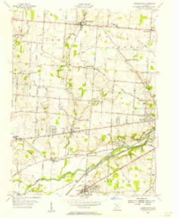
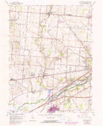
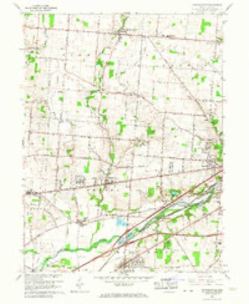
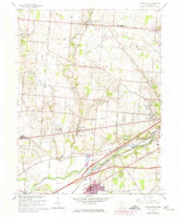
14 topographic sheets cover this place, the earliest surveyed in 1904 and the latest in 1986. It stands in Bethel Township. It lies in ZIP code area 45344. The Survey maps it on the Donnelsville quadrangle.
Then and now
1904 to 1986The same ground, surveyed 82 years apart. Drag the handle to wipe between them. Both sheets are United States Geological Survey originals; neither has been altered.

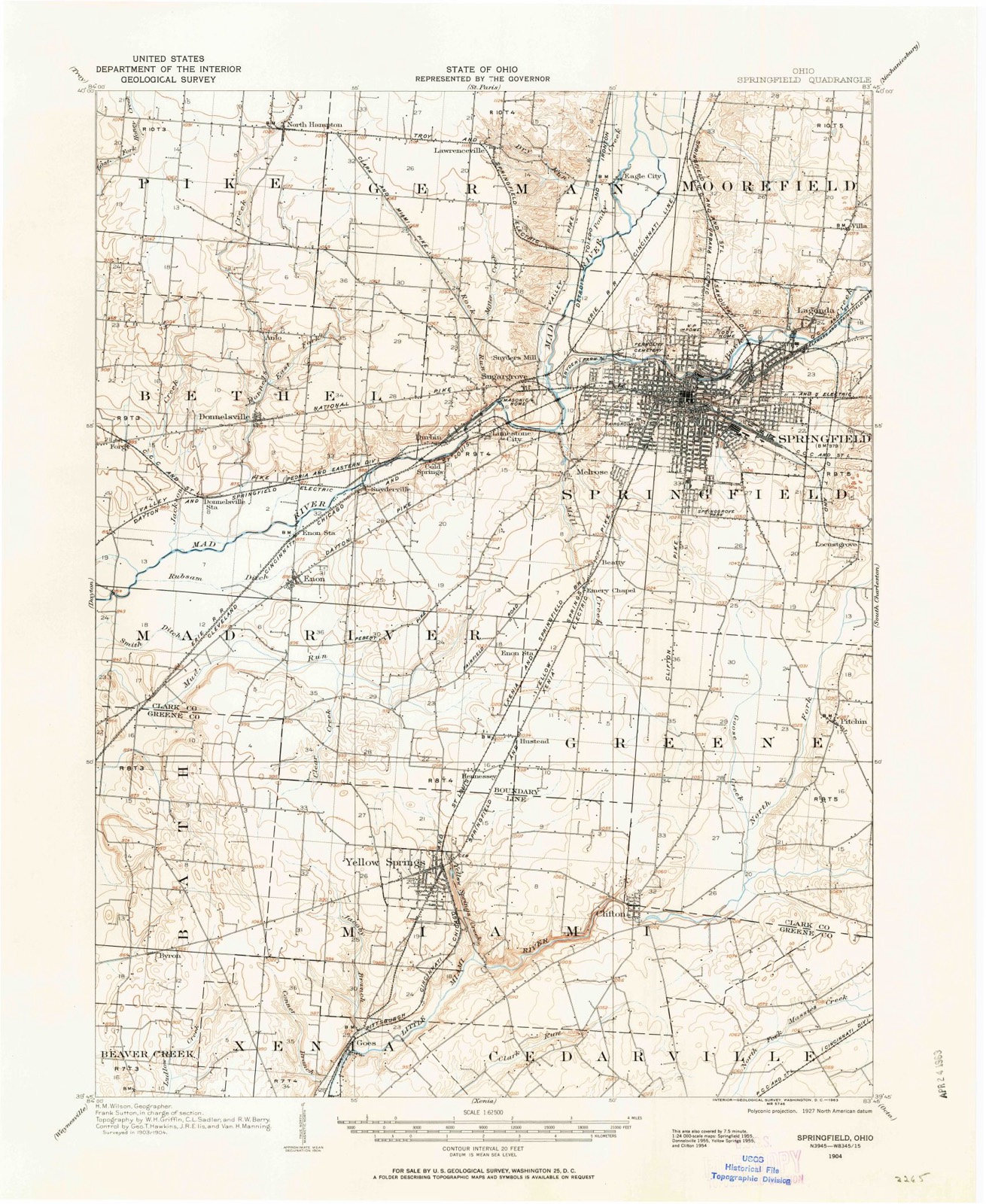
Topographic sheets covering this place
14 sheetsMatched by testing this settlement's coordinate against the published boundary of every sheet in the United States Geological Survey's historical collection. Each opens the scanned sheet at the Survey.
- 1904 USGS Springfield quadrangle1:62500
- 1904 USGS Springfield quadrangle1:62500
- 1906 USGS Springfield quadrangle1:62500
- 1947 USGS Columbus quadrangle1:250000
- 1955 USGS Donnelsville quadrangle1:24000
- 1961 USGS Columbus quadrangle1:250000
- 1962 USGS Columbus quadrangle1:250000
- 1965 USGS Donnelsville quadrangle1:24000
- 1965 USGS Donnelsville quadrangle1:24000
- 1965 USGS Donnelsville quadrangle1:24000
- 1967 USGS Columbus quadrangle1:250000
- 1967 USGS Columbus quadrangle1:250000
- 1986 USGS Springfield quadrangle1:100000
- 1986 USGS Springfield quadrangle1:100000







In the county-history sources
43,588 words on this townshipThe History of Clark County Ohio,, published 1881 names this settlement in its chapter on Bethel Township. These are the passages that mention it, exactly as the scans read.
Bethel Township is somewhat classic in the history of the State as well as the county. She stands at the head of the list of townships in being the first settled in the county, if not the home of the first white man settled in the Miami Valley north of Cincinnati. On the farm now owned by L. Baker was the Indian village of Piqua, which has become famous as the birthplace of the noted Indian chief Tecumseh. At this same place was fought the battle between the whites under Gen. Clarke, and the Shawnee Indians in August, 1780. On the farm now owned by Mrs. Sarah Smith of Section 34, stood the ancient Indian village of Chinchima.
Passage source: The History of Clark County Ohio,, published 1881.
Jacob Huffman, a native of Pennsylvania, settled in the eastern corner of the township in 1802. He died December 1, 1542, aged seventy-two years, and his wife Catharine, died in August, 1866, aged eighty years. They had ten children who grew up - five yet living, viz., Henry, Reuben, Martha, Rachael and Samuel. He built a fine stone house which is yet standing.
Passage source: The History of Clark County Ohio,, published 1881.
Machine-read from a century-old scan, so expect the errors a machine makes: misspelled names, dropped words, stray characters.
Specimens collected near this place
12 of 536 shownRegional context, not property-specific evidence. Museums hold 536 specimens collected within 10 miles of Forgy between 1840 and 1975: 284 Animalia, 167 Plantae, 77 Fungi, 7 Protozoa, 1 Unrecorded. 12 distinct Species records are shown. Collected by 73.7; J.H., A JOHN, A. Barron and others. Each is a physical object with a catalogue number, and each entry opens the museum's record. This is what was collected and kept, not a survey of what lives here - nothing can be concluded from a species being absent.
| Image | Species | Year | Collected by | Where, as recorded |
|---|---|---|---|---|
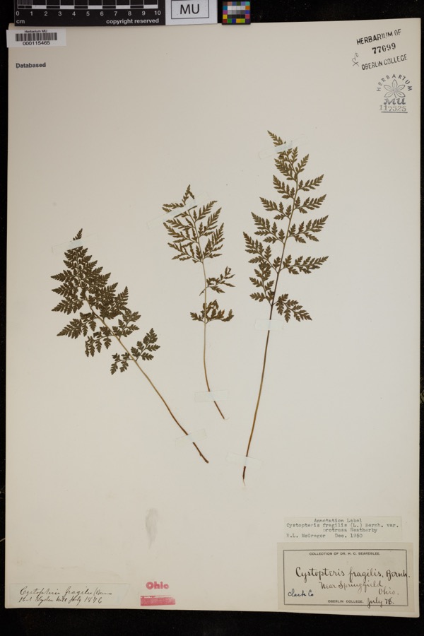 | Cystopteris protrusa (Weath.) Blasdell | 1878 | Beardslee, H.C. | near Springfield |
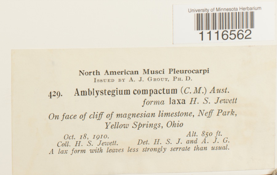 | Conardia compacta (Müll.Hal.) H.Rob. | 1910 | H.S. Jewett | Neff Park, Yellow Springs |
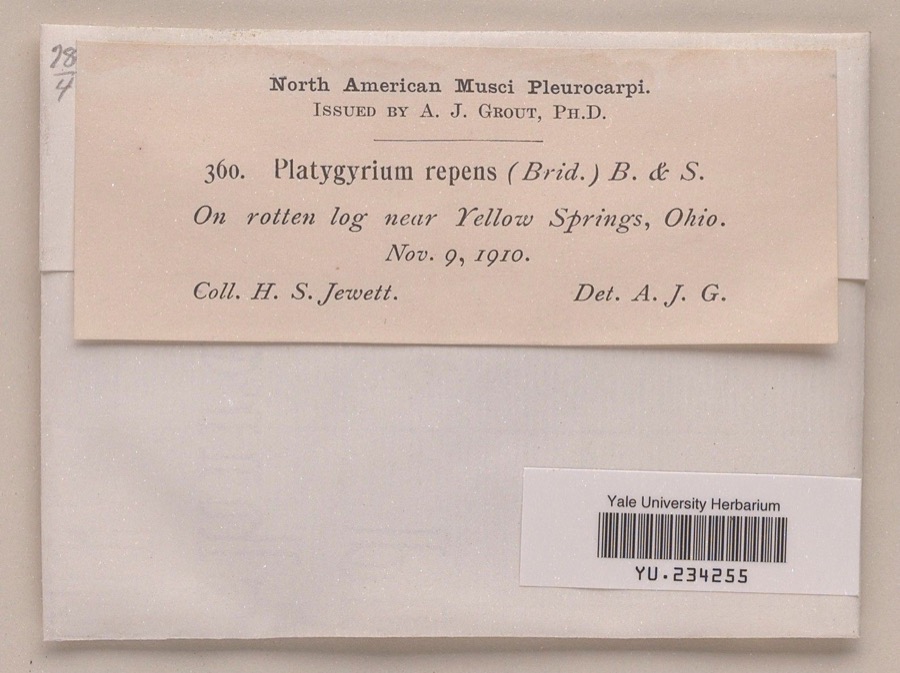 | Platygyrium repens (Brid.) Schimp. | 1910 | Henry S. Jewett | near Yellow Springs |
 | Caulophyllum thalictroides (L.) Michx. | 1840 | Williams, M.G. | Springfield |
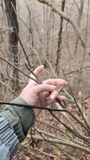 | Staphylea trifolia L. | 1840 | Williams, M.G. | Springfield |
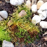 | Funaria hygrometrica Hedw. | 1846 | not recorded | Springfield |
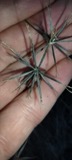 | Bidens bipinnata L. | 1870 | J Y Bergen; T L Bergen | Yellow Springs |
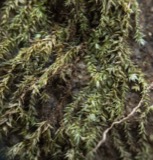 | Bryhnia graminicolor (Brid.) Grout | 1870 | J. W. Eckfeldt | near Springfield |
 | Amblystegium serpens var. angustifolium H.Lindb. ex Limpr. | 1871 | H. J. Biddlecome | Springfield |
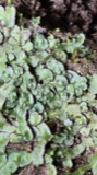 | Reboulia hemisphaerica (L.) Raddi | 1871 | H. J. Biddlecome | Springfield |
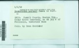 | Desmatodon porteri James | 1873 | not recorded | Springfield |
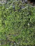 | Gymnostomum aeruginosum Sm. | 1873 | A. Barron | Springfield |
All 536 specimens within 10 miles, at the Global Biodiversity Information Facility.
Mines and quarries near this place
9 within 5 milesRegional context, not property-specific evidence. The federal mineral resources record lists 9 workings within 5 miles of Forgy: 6 past producers, 3 producers. 3 still produce. What was taken out: Sand and Gravel, Construction. Distance is straight-line from the map coordinates, so a quarry counted here may appear on a neighbouring settlement's page as well.
| Where | Site | Commodity | Status | Recorded |
|---|---|---|---|---|
| Enon Pit | Sand and Gravel, Construction | Past Producer | Sedimentary | |
| Enon Pit & Mill | Sand and Gravel, Construction | Producer | ||
| Fairborn No 413 Pit & Plant | Sand and Gravel, Construction | Producer | ||
| Fairborn Pit | Sand and Gravel, Construction | Past Producer | Sedimentary | |
| Hilltop Pit | Sand and Gravel, Construction | Producer | ||
| New Carlisle Sand and Gravel Pit | Sand and Gravel, Construction | Past Producer | Sedimentary | |
| New Carlisle Sand and Gravel Pit | Sand and Gravel, Construction | Past Producer | Sedimentary | |
| New Carlisle Sand and Gravel Pit | Sand and Gravel, Construction | Past Producer | ||
| New Carlisle Sand and Gravel Pit | Sand and Gravel, Construction | Past Producer |
Storms near this place
2 since 2016Regional context, not property-specific evidence. The National Weather Service names Forgy in 2 storm reports between 2016 and 2024: 2 thunderstorm wind. No death or injury is recorded in these reports. Each account below is quoted exactly as the forecast office filed it, from the NOAA Storm Events Database, and each date opens the federal record of that event.
| When | Event | Place named | Harm | What the report says |
|---|---|---|---|---|
| July 2016 | Thunderstorm Wind | Forgy | $500 | A tree was knocked down along Lower Valley Pike. |
| April 2024 | Thunderstorm Wind | Forgy | $100 | A small Bradford pear tree was downed. |
Nearest settlements
The eight closest, with where each one stands in the county. Distances are straight-line, computed from the Geographic Names Information System coordinates.
| Map | Place | Distance | Sheets |
|---|---|---|---|
| Funderberg (historical) | 1.3 miles | 13 | |
| Donnelsville | 2.3 miles | 14 | |
| Medway | 2.4 miles | 13 | |
| New Carlisle | 2.4 miles | 13 | |
| Crystal Lakes | 2.5 miles | 13 | |
| Park Layne Manor | 2.9 miles | 13 | |
| Anlo | 3.0 miles | 14 | |
| Schauers Acres | 3.1 miles | 13 |
Elsewhere
Matched on this settlement's Geographic Names Information System number rather than its name, so it cannot be a different place of the same name in another state.
| Wikipedia article on Forgy | An encyclopaedic summary. Its text is share-alike, so it is linked here rather than copied. |
| Wikidata item Q24898146 | The structured record the population and elevation above come from. Public domain (CC0). |
Provenance
This settlement is recorded in the Geographic Names Information System as feature 1064664. The sheet list is computed by point-in-boundary test against the United States Geological Survey's historical topographic inventory. Both are works of the United States government and carry no copyright under 17 U.S.C. 105.
Specimens. Global Biodiversity Information Facility (GBIF), https://www.gbif.org/. Only records licensed CC0 or CC BY are used. Records licensed CC BY-NC are excluded because this site carries advertising. Images are checked individually and any whose licence is non-commercial, no-derivatives or unreadable is refused.
Mines and quarries. USGS Mineral Resources Data System (MRDS) https://mrdata.usgs.gov/mrds/ A work of the United States government, no copyright under 17 U.S.C. 105.
Storms. NOAA National Centers for Environmental Information, Storm Events Database https://www.ncei.noaa.gov/stormevents/ A work of the United States government, no copyright under 17 U.S.C. 105. Narratives are quoted verbatim from the National Weather Service report and are not edited or summarised.