 Block
Block
Dundee, Ohio
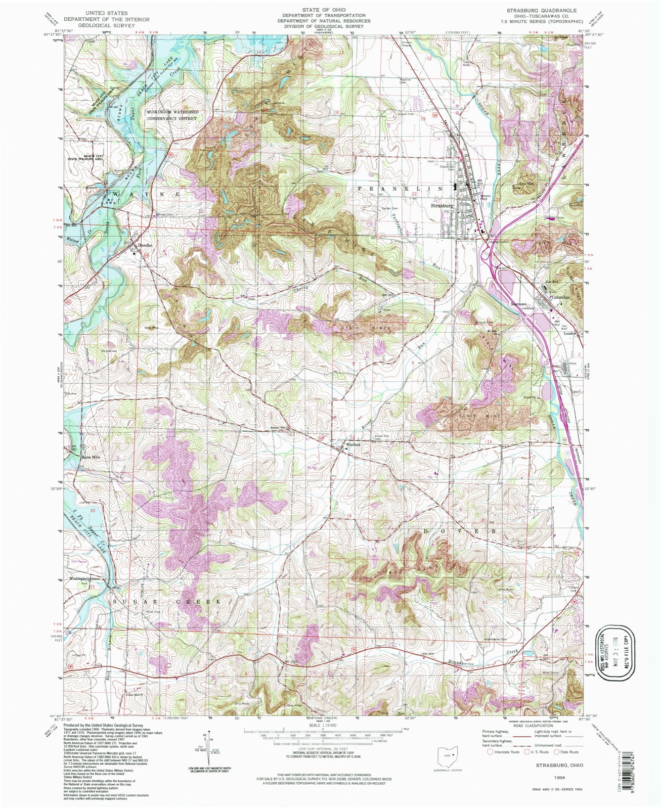
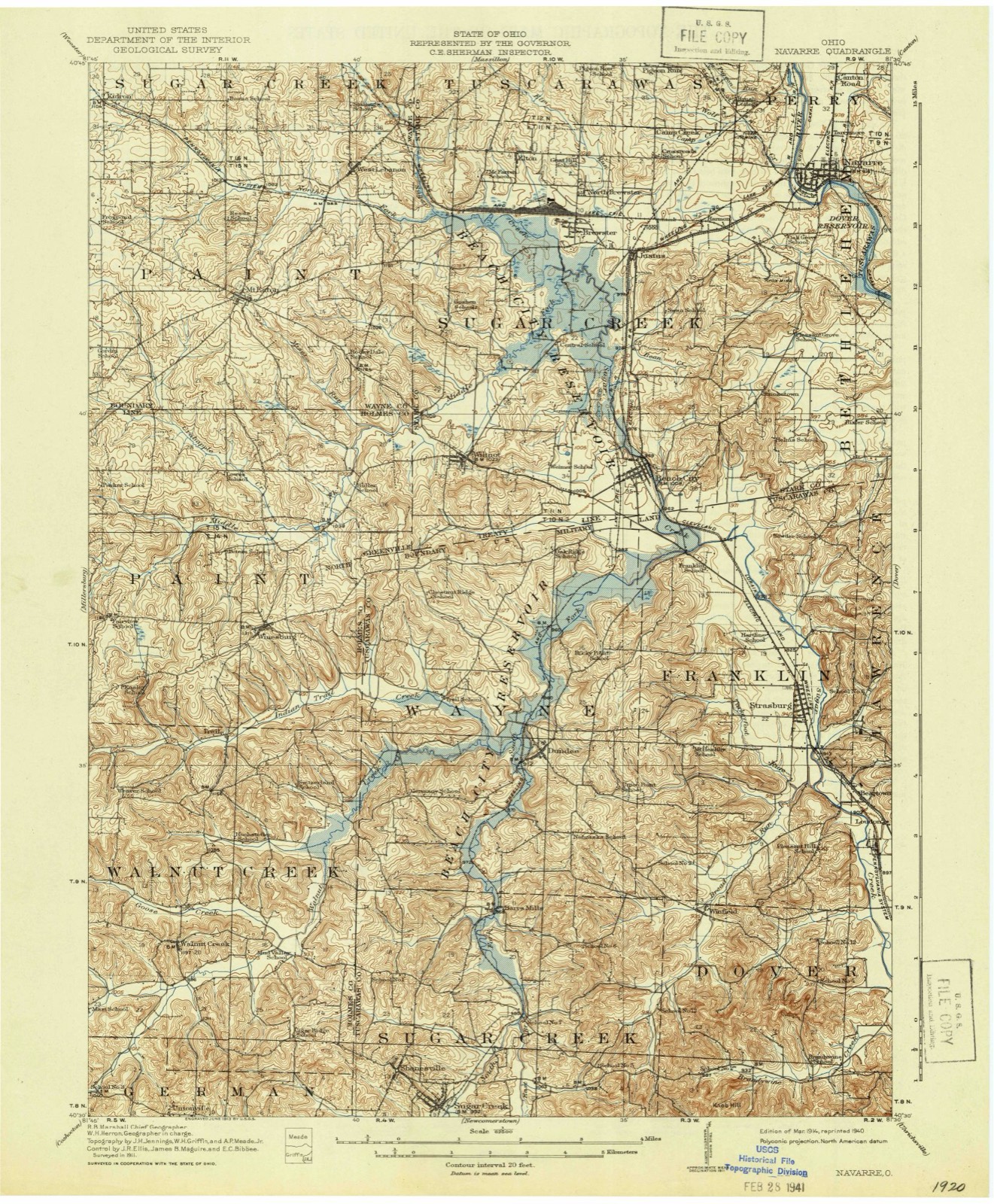
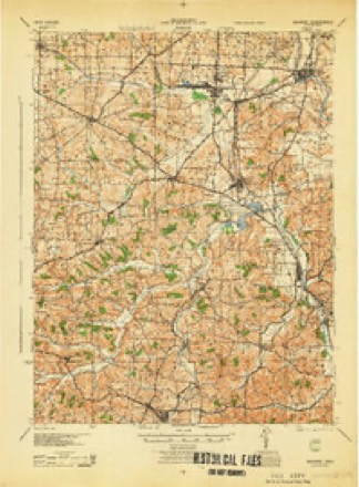
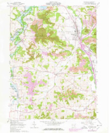
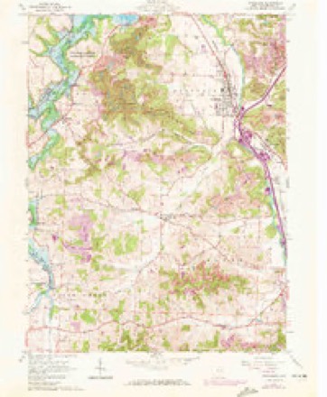
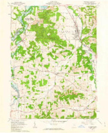
16 topographic sheets cover this place, the earliest surveyed in 1914 and the latest in 1994. It stands in Wayne Township. It lies in ZIP code area 44624. It stands on Walnut Creek. The Survey maps it on the Strasburg quadrangle. 269 people lived here at the 2020 count. It stands 1,030 feet above sea level.
Population over time
2 figuresDundee fell from 297 to 269 between 2010 and 2020. These are the recorded population figures Wikidata holds for this place, reached through the Geographic Names Information System number this page is keyed on rather than by name, so they belong to this place and not to another of the same name. Most are census counts, but not all are: an early figure may be a founding or settlement estimate. The change column is computed, and is left blank where more than 20 years separate a figure from the one before it, because a gap that long is not a change between two counts.
| Year | People | Change |
|---|---|---|
| 2010 | 297 | |
| 2020 | 269 | -28 (-9%) |
Then and now
1914 to 1994The same ground, surveyed 80 years apart. Drag the handle to wipe between them. Both sheets are United States Geological Survey originals; neither has been altered.
Topographic sheets covering this place
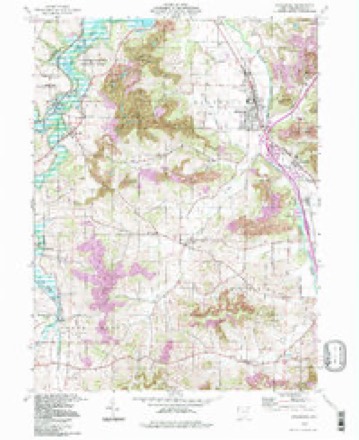
16 sheetsMatched by testing this settlement's coordinate against the published boundary of every sheet in the United States Geological Survey's historical collection. Each opens the scanned sheet at the Survey.
- 1914 USGS Navarre quadrangle1:62500
- 1914 USGS Navarre quadrangle1:62500
- 1944 USGS Navarre quadrangle1:62500
- 1951 USGS Canton quadrangle1:250000
- 1953 USGS Canton quadrangle1:250000
- 1957 USGS Canton quadrangle1:250000
- 1957 USGS Canton quadrangle1:250000
- 1957 USGS Canton quadrangle1:250000
- 1961 USGS Strasburg quadrangle1:24000
- 1961 USGS Strasburg quadrangle1:24000
- 1961 USGS Strasburg quadrangle1:24000
- 1962 USGS Canton quadrangle1:250000
- 1962 USGS Canton quadrangle1:250000
- 1986 USGS Canton quadrangle1:100000
- 1986 USGS Canton quadrangle1:100000
- 1994 USGS Strasburg quadrangle1:24000







In the county-history sources
2,096 words on this townshipThe History of Tuscarawas County, Ohio, published 1884 names this settlement in its chapter on Wayne Township. These are the passages that mention it, exactly as the scans read.
The first permanent settlement was made on the Congress land in the northeast portion of the township. No one is known to have preceded Aaron Patterson in the occupancy of the soil. He was a New Jersey farmer, entered the southeast quarter of Section 25, about a mile east cf Dundee, settled there in 1808 and remained through life. He is said to have wedded five wives in succession. His children were John, who died in early manhood; William, who was a Methodist, and attained a ripe old age in this township; Uriah and Aaron, who removed to Pittsburgh, Penn.; Obadiah, who went West; Jesse, a resident of Sandusky; Rachel (Hoagland), who returned to New Jersey; Hannah (Jennings), who moved to the West, and Mary (Kint), who became a resident of Sugar Creek Township. Obadiah served in tbe war of 1812.
Passage source: The History of Tuscarawas County, Ohio, published 1884.
The Jennings, Amos, Lewis and Bayless families were among the foremost pioneers of the township. Amos came with his father, Augustus, to the county in 1807, and in 1809 settled in Wayne Township. The Jennings first settled in what is now Fairfield Township. Jacob Steffe, a German Lutheran from Maryland, emigrated to Holmes County, and shortly afterward, in 1814, caipe to Wayne Township and settled on Lot 12, about a mile south of Dundee. Quite a settlement of colored people, fifteen or more families, settled years ago in the vicinity of Dundee, but most of them have since removed elsewhere. For some time a German emigration has been steadily entering the township, and the people of this nationality will soon preponderate. The emigration of Wayne's people has been more largely to Davis County, Ind, than to any other locality. La Grange and Owen Counties, of the same State, have also received large accessions from this township.
Passage source: The History of Tuscarawas County, Ohio, published 1884.
About a half-mile west of Dundee, on Sugar Creek, is an old frame grist mill, at present operated by David Bradley. It was built as early as 1825, or earlier, by Mr. Morgan, and has since done the grinding aDd chopping for the people in this locality.
Passage source: The History of Tuscarawas County, Ohio, published 1884.
Machine-read from a century-old scan, so expect the errors a machine makes: misspelled names, dropped words, stray characters.
Read the whole chapter on Wayne Township - it names this place 4 more 4 times.
Fires near this place
7 since 2005Regional context, not property-specific evidence. The federal wildfire occurrence database lists 7 fires within 5 miles of Dundee between 2005 and 2018, burning about 18 acres in total. None started naturally. 1 was recorded as arson. Distance is straight-line from the map coordinates, so a fire counted here may appear on a neighbouring settlement's page as well.
| Reported cause | Fires |
|---|---|
| Debris and open burning | 5 |
| Arson/incendiarism | 1 |
| Missing data/not specified/undetermined | 1 |
The most recent of them, most recent first, with the day each was reported and the service that recorded it.
| Date | Cause | Size | Reported by | Name on the report |
|---|---|---|---|---|
| 9 April 2005 | Debris and open burning | under an acre | Ohio Department of Natural Resources | not named |
| 12 April 2006 | Missing data/not specified/undetermined | 1.0 acres | Ohio Department of Natural Resources | not named |
| 6 March 2018 | Debris and open burning | under an acre | Ohio Department of Natural Resources | 10525 |
| 24 March 2009 | Arson/incendiarism | 10 acres | Ohio Department of Natural Resources | not named |
| 19 March 2015 | Debris and open burning | 5.0 acres | Ohio Department of Natural Resources | 464 |
| 13 November 2009 | Debris and open burning | under an acre | Ohio Department of Natural Resources | not named |
| 12 November 2009 | Debris and open burning | 1.0 acres | Ohio Department of Natural Resources | not named |
Settlements close enough to share some of these fires:
Specimens collected near this place
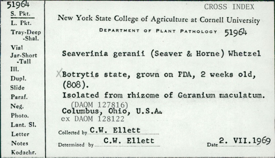
12 of 268 shownRegional context, not property-specific evidence. Museums hold 268 specimens collected within 10 miles of Dundee between 1851 and 1973: 160 Animalia, 93 Plantae, 14 Fungi, 1 Chromista. 12 distinct Species records are shown. Collected by A W Cusick, A. Cibula, A. Cobula and others. Each is a physical object with a catalogue number, and each entry opens the museum's record. This is what was collected and kept, not a survey of what lives here - nothing can be concluded from a species being absent.
| Image | Species | Year | Collected by | Where, as recorded |
|---|---|---|---|---|
 | Seaverinia geranii (Seaver & W.T.Horne) Whetzel | 1969 | C. W. Ellett | |
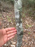 | Amelanchier arborea (F.Michx.) Fernald | 1851 | Wolle, J. | Canoe Down [Canal Dover] |
 | Anemone canadensis L. | 1851 | Wolle, J. | Canoe Down [Canal Dover] |
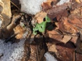 | Cardamine douglassii Britton | 1851 | Wolle, J. | Canae Docus [??] [Canal Dover] |
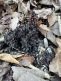 | Conopholis americana (L.) Wallr. | 1851 | Wolle, J. | Canoe Down [Canal Dover?] |
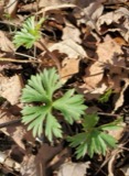 | Delphinium tricorne Michx. | 1851 | Wolle, J. | Canoe Down [Canal Dover] |
 | Erythronium americanum Ker Gawl. | 1851 | Wolle, J. | Canal Dover |
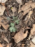 | Hydrophyllum appendiculatum Michx. | 1851 | Wolle, J. | Canoe Down [Canal Dover] |
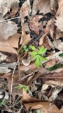 | Hydrophyllum virginianum L. | 1851 | Wolle, J. | Canoe Down [Canal Dover] |
 | Silene virginica L. | 1851 | Wolle, J. | Canal Downs [Canal Dover] |
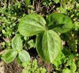 | Trillium sessile L. | 1851 | Wolle, J. | Canal Dover |
| Triosteum perfoliatum L. | 1851 | Wolle, J. | Canoe Doon [Canal Dover?] |
All 268 specimens within 10 miles, at the Global Biodiversity Information Facility.
Mines and quarries near this place
10 of 13 shownRegional context, not property-specific evidence. The federal mineral resources record lists 13 workings within 5 miles of Dundee: 10 producers, 2 past producers, 1 plant. 11 still produce. What was taken out: Stone, Crushed/Broken, Sand and Gravel, Construction, Clay, Coal. Distance is straight-line from the map coordinates, so a quarry counted here may appear on a neighbouring settlement's page as well.
| Where | Site | Commodity | Status | Recorded |
|---|---|---|---|---|
| Belden Pit | Clay, Coal | Producer | ||
| Plant Number 8 | Fire Clay (Refractory) | Producer | ||
| Belden Pit | Clay, Coal | Producer | ||
| Belden Pit | Clay, Coal | Producer | ||
| Mcfarland Pit | Clay, Coal | Producer | ||
| 77 Sand & Gravel Pit | Sand and Gravel, Construction | Producer | ||
| Cleveland Quarry | Stone, Crushed/Broken | Producer | ||
| County Line Sr 212 Pit | Sand and Gravel, Construction | Producer | ||
| Coxey Plant & Quarry | Stone, Crushed/Broken | Plant | ||
| Coxey Quarry | Stone, Crushed/Broken | Past Producer | Sedimentary |
Storms near this place
11 since 1995Regional context, not property-specific evidence. The National Weather Service names Dundee in 11 storm reports between 1995 and 2025: 7 thunderstorm wind, 3 flood, 1 hail. No death or injury is recorded in these reports. Each account below is quoted exactly as the forecast office filed it, from the NOAA Storm Events Database, and each date opens the federal record of that event.
| When | Event | Place named | Harm | What the report says |
|---|---|---|---|---|
| May 1995 | Thunderstorm Wind | Dundee | $20,000 | Trees downed by thunderstorm winds in Dover. In Dundee a large barn collapsed during a thunderstorm. Losses included 2700 bales of hay and straw and 20 pigs. |
| June 2014 | Flood | Dundee | $5,000 | Law enforcement reported Cherry Run Road Flooded. |
| June 2014 | Flood | Dundee | $5,000 | Law enforcement reported roads flooded. |
| March 2011 | Flood | Dundee | $2,000 | Law enforcement reports a water rescue from a car on flooded State Route 93/Walnut Creek Bottom Road in Wayne Township. |
| April 2007 | Thunderstorm Wind | Dundee | $1,500 | A trained spotter reported a 15 to 20 foot section of steel roof was ripped off a barn in Dundee. |
| May 2025 | Thunderstorm Wind | Dundee | $1,000 | A tree was reported to be downed along Cherry Run Road NW. |
| June 2012 | Thunderstorm Wind | Dundee | $500 | Local law enforcement reported a tree down on State Route 93. |
| June 2022 | Thunderstorm Wind | Dundee | - | Power lines down. |
| August 2022 | Thunderstorm Wind | Dundee | - | A 911 Call Center reported lines down in town of Dundee. |
| March 2019 | Thunderstorm Wind | Dundee | - | A state official reported a tree down along Walnut Creek Bottom Rd. |
| May 1996 | Hail | Dundee | - | no account filed |
Nearest settlements
The eight closest, with where each one stands in the county. Distances are straight-line, computed from the Geographic Names Information System coordinates.
| Map | Place | Distance | Sheets |
|---|---|---|---|
| Barrs Mills | 2.7 miles | 16 | |
| Winfield | 3.7 miles | 16 | |
| Deardoffs Mills (historical) | 4.2 miles | 18 | |
| Strasburg | 4.3 miles | 16 | |
| Winklepleck Grove | 4.4 miles | 16 | |
| Beartown | 5.1 miles | 16 | |
| Columbia | 5.4 miles | 16 | |
| Shanesville | 5.7 miles | 15 |
Elsewhere
Matched on this settlement's Geographic Names Information System number rather than its name, so it cannot be a different place of the same name in another state.
| Wikipedia article on Dundee | An encyclopaedic summary. Its text is share-alike, so it is linked here rather than copied. |
| Wikidata item Q3472890 | The structured record the population and elevation above come from. Public domain (CC0). |
Provenance
This settlement is recorded in the Geographic Names Information System as feature 1039869. The sheet list is computed by point-in-boundary test against the United States Geological Survey's historical topographic inventory. Both are works of the United States government and carry no copyright under 17 U.S.C. 105.
Wildfire. Short, Karen C. 2022. Spatial wildfire occurrence data for the United States, 1992-2020 [FPA_FOD_20221014]. 6th Edition. Fort Collins, CO: Forest Service Research Data Archive. https://doi.org/10.2737/RDS-2013-0009.6 Collected with United States Government funding and usable without additional permissions or fees.
Specimens. Global Biodiversity Information Facility (GBIF), https://www.gbif.org/. Only records licensed CC0 or CC BY are used. Records licensed CC BY-NC are excluded because this site carries advertising. Images are checked individually and any whose licence is non-commercial, no-derivatives or unreadable is refused.
Mines and quarries. USGS Mineral Resources Data System (MRDS) https://mrdata.usgs.gov/mrds/ A work of the United States government, no copyright under 17 U.S.C. 105.
Storms. NOAA National Centers for Environmental Information, Storm Events Database https://www.ncei.noaa.gov/stormevents/ A work of the United States government, no copyright under 17 U.S.C. 105. Narratives are quoted verbatim from the National Weather Service report and are not edited or summarised.