 Block
Block
Shanesville, Ohio
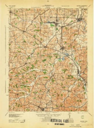
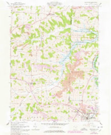
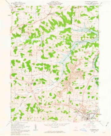
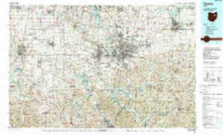
15 topographic sheets cover this place, the earliest surveyed in 1914 and the latest in 1994. It stands in Sugar Creek Township. It lies in ZIP code area 44681. The Survey maps it on the Sugarcreek quadrangle.
Then and now
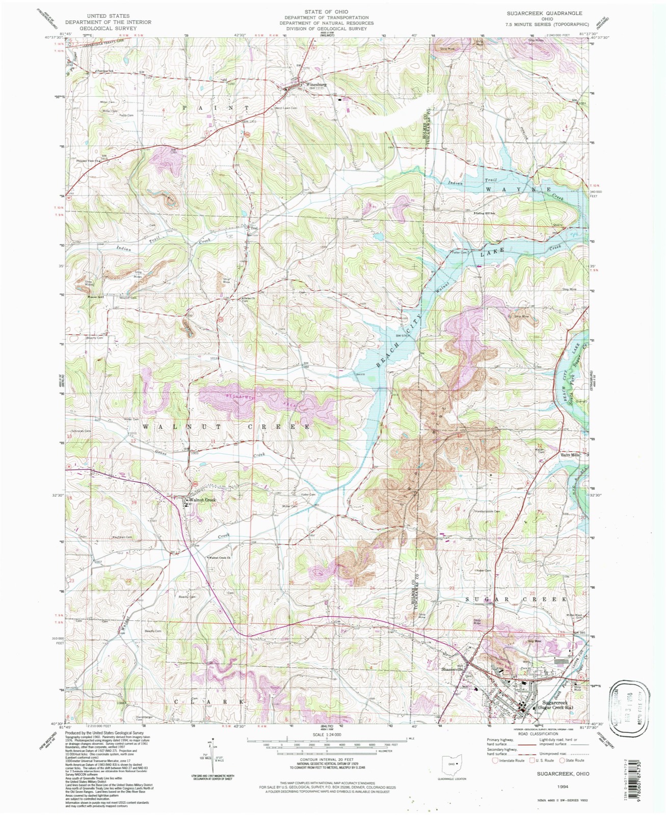
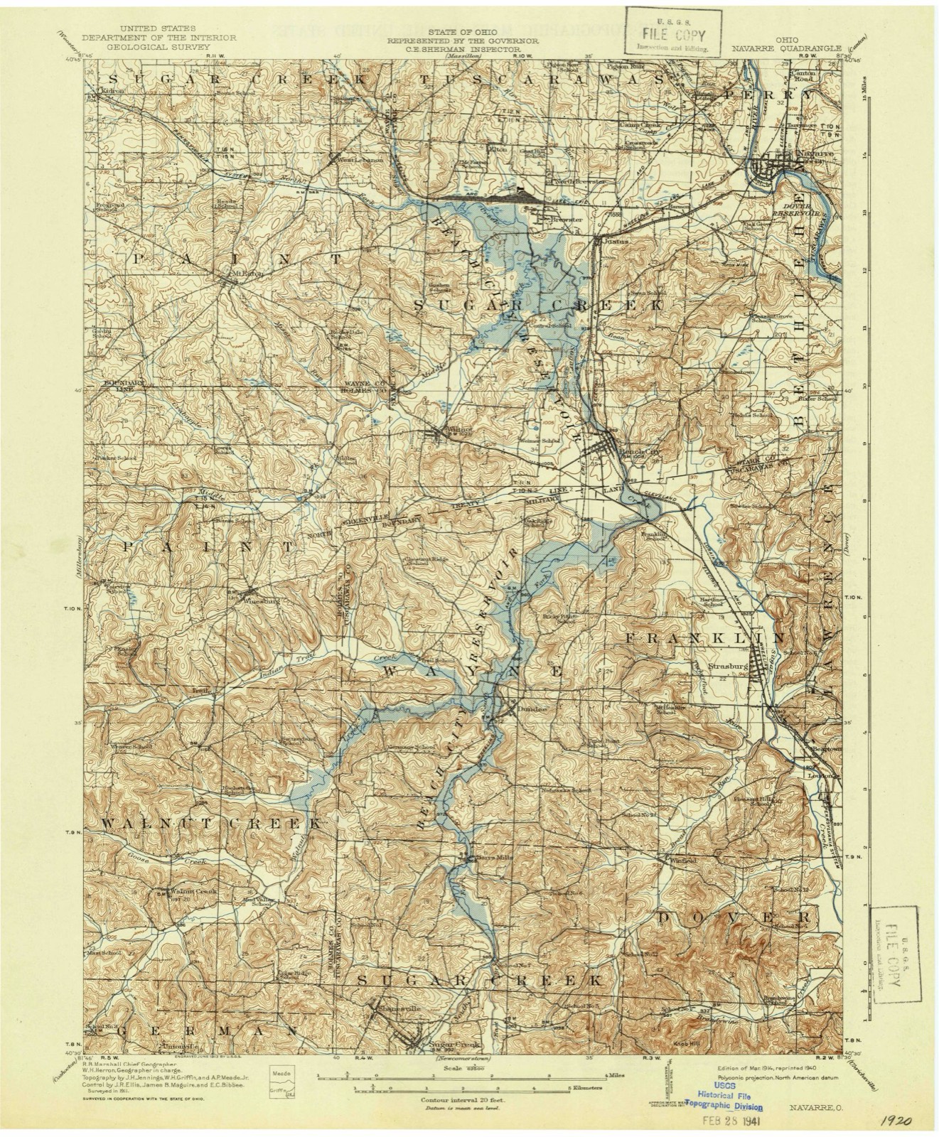
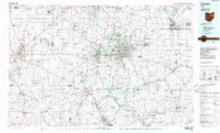
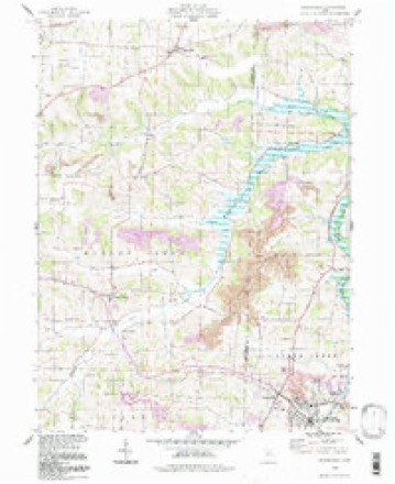
1914 to 1994The same ground, surveyed 80 years apart. Drag the handle to wipe between them. Both sheets are United States Geological Survey originals; neither has been altered.
Topographic sheets covering this place
15 sheetsMatched by testing this settlement's coordinate against the published boundary of every sheet in the United States Geological Survey's historical collection. Each opens the scanned sheet at the Survey.
- 1914 USGS Navarre quadrangle1:62500
- 1914 USGS Navarre quadrangle1:62500
- 1944 USGS Navarre quadrangle1:62500
- 1951 USGS Canton quadrangle1:250000
- 1953 USGS Canton quadrangle1:250000
- 1957 USGS Canton quadrangle1:250000
- 1957 USGS Canton quadrangle1:250000
- 1957 USGS Canton quadrangle1:250000
- 1961 USGS Sugarcreek quadrangle1:24000
- 1961 USGS Sugarcreek quadrangle1:24000
- 1962 USGS Canton quadrangle1:250000
- 1962 USGS Canton quadrangle1:250000
- 1986 USGS Canton quadrangle1:100000
- 1986 USGS Canton quadrangle1:100000
- 1994 USGS Sugarcreek quadrangle1:24000







In the county-history sources
4,392 words on this townshipThe History of Tuscarawas County, Ohio, published 1884 names this settlement in its chapter on Sugar Creek Township. These are the passages that mention it, exactly as the scans read.
After the war of 1812 had ceased, a rapid stream of emigration poured many settlers into the township, and in a few years it was thoroughly settled In 1820, the following land owners resided here, and many of them had emigrated years before: John Altman had entered and settled on the northeast quarter of Section 10. Henry Baker had been a Hessian soldier in the British service during the Revolutionary war; was captured at the battle of Trenton. He concluded to become an American citizen; settled in Somerset County, Penn., where he engaged in distilling, and in 1812 emigrated to this township, becoming the owner of the northwest quarter of Section 6. Frederick Biddle, from Chambersburg, Penn., entered the northeast quarter of Section 21; he was a Lutheran, a gunsmith, and died in 1868. George Biddle, his brother, was also a pioneer. He came to Sugar Creek Township about 1815; was also a gunsmith, and worked at his trade for both white men and Indians, and died in 1871. John Baltzly owned the southeast quarter of Section 19, entered by Henry Miller. He was a Lutheran, and came from Goshen Township. Jacob Coblentz, an Ornish man, entered and occupied the southwest quarter of Section 5. Andrew Critz was the proprietor of the south half of Section 1, entered by George Leininger. Jacob Dietz owned the northwest quarter of Section 2, and eighty acres close to Shanesville; his brother Ernest owned the southwest quarter of Section 6. They were members of the German Reformed Church. Michael Fetter entered and owned the northeast quarter of
Passage source: The History of Tuscarawas County, Ohio, published 1884.
Section 6. Abraham Garber entered and settled on the northeast quarter of Section 4. He was a member of the Ornish Church. John Gard, a Methodist, entered and occupied the southwest quarter of Section 3; Timothy, his brother, who died prior to 1820, had settled on the northwest quarter of the same section. Joseph, Peter and Jeremiah Hochstetler each owned a farm. That of the last named, the northeast quarter of Section 2, was entered by Benjamin Hochstetler, a member of the Ornish Church, who emigrated from Pennsylvania to near Dover, on the plains, about 1812, and later to this township. Jonas Kline owned the northeast quarter of Section 20, entered by John Kline, a farmer of German Reformed Church, from Penn. John King, a blacksmith, Nicholas Nowel, a tailor, and John, Jacob and Philip Rinehart, owned small tracts in the northeast quarter of Section 3, near Shanesville. Peter Klinglesmith was the owner of the southeast quarter of Section 8. Abraham Olinger, a Dunkard, entered and occupied the southwest quarter of Section 9. Jacob Showalter, a Mem ionite, owned a fraction of the northeast quarter of Section 18. His brother Peter, a Dunkard, had thirty acres in the northeast quarter of Section 19. John Showalter, who kept bachelor's hall with Jacob Walters until the latter's marriage, owned a farm in Section 18. George Smiley was the original proprietor and occupant of the southeast quarter of Section 11. John Welty entered and dwelt upon the northwest quarter of Section 10.
Passage source: The History of Tuscarawas County, Ohio, published 1884.
At Union Hill, two and a half miles east of Shanesville, is a Union church, which was built in 1879. A United Brethren society worship here under the pastorate of Rev. A. R. Bower. The Omish, Winebrennerians, Dunkards and Mennonites, also hold services here.
Passage source: The History of Tuscarawas County, Ohio, published 1884.
Machine-read from a century-old scan, so expect the errors a machine makes: misspelled names, dropped words, stray characters.
Read the whole chapter on Sugar Creek Township - it names this place 9 more 9 times.
Fires near this place
4 since 2009Regional context, not property-specific evidence. The federal wildfire occurrence database lists 4 fires within 5 miles of Shanesville between 2009 and 2015, burning about 12 acres in total. None started naturally. 1 was recorded as arson. Distance is straight-line from the map coordinates, so a fire counted here may appear on a neighbouring settlement's page as well.
| Reported cause | Fires |
|---|---|
| Debris and open burning | 3 |
| Arson/incendiarism | 1 |
The most recent of them, most recent first, with the day each was reported and the service that recorded it.
| Date | Cause | Size | Reported by | Name on the report |
|---|---|---|---|---|
| 19 April 2014 | Debris and open burning | under an acre | Ohio Department of Natural Resources | not named |
| 12 April 2015 | Debris and open burning | under an acre | Ohio Department of Natural Resources | 806 |
| 24 March 2009 | Arson/incendiarism | 10 acres | Ohio Department of Natural Resources | not named |
| 25 November 2015 | Debris and open burning | 1.0 acres | Ohio Department of Natural Resources | 2609 |
Settlements close enough to share some of these fires:
Specimens collected near this place
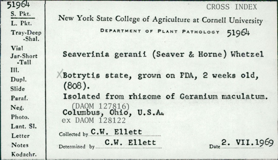
12 of 218 shownRegional context, not property-specific evidence. Museums hold 218 specimens collected within 10 miles of Shanesville between 1851 and 1969: 125 Animalia, 80 Plantae, 13 Fungi. 12 distinct Species records are shown. Collected by A. Cibula, A. Cobula, A. Woolman and others. Each is a physical object with a catalogue number, and each entry opens the museum's record. This is what was collected and kept, not a survey of what lives here - nothing can be concluded from a species being absent.
| Image | Species | Year | Collected by | Where, as recorded |
|---|---|---|---|---|
 | Seaverinia geranii (Seaver & W.T.Horne) Whetzel | 1969 | C. W. Ellett | |
 | Amelanchier arborea (F.Michx.) Fernald | 1851 | Wolle, J. | Canoe Down [Canal Dover] |
 | Anemone canadensis L. | 1851 | Wolle, J. | Canoe Down [Canal Dover] |
 | Cardamine douglassii Britton | 1851 | Wolle, J. | Canae Docus [??] [Canal Dover] |
 | Conopholis americana (L.) Wallr. | 1851 | Wolle, J. | Canoe Down [Canal Dover?] |
 | Delphinium tricorne Michx. | 1851 | Wolle, J. | Canoe Down [Canal Dover] |
 | Erythronium americanum Ker Gawl. | 1851 | Wolle, J. | Canal Dover |
 | Hydrophyllum appendiculatum Michx. | 1851 | Wolle, J. | Canoe Down [Canal Dover] |
 | Hydrophyllum virginianum L. | 1851 | Wolle, J. | Canoe Down [Canal Dover] |
 | Silene virginica L. | 1851 | Wolle, J. | Canal Downs [Canal Dover] |
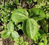 | Trillium sessile L. | 1851 | Wolle, J. | Canal Dover |
| Triosteum perfoliatum L. | 1851 | Wolle, J. | Canoe Doon [Canal Dover?] |
All 218 specimens within 10 miles, at the Global Biodiversity Information Facility.
Mines and quarries near this place
10 of 15 shownRegional context, not property-specific evidence. The federal mineral resources record lists 15 workings within 5 miles of Shanesville: 9 past producers, 6 producers. 6 still produce. What was taken out: Clay, Clay, Coal, Fire Clay (Refractory), Coal. Distance is straight-line from the map coordinates, so a quarry counted here may appear on a neighbouring settlement's page as well.
| Where | Site | Commodity | Status | Recorded |
|---|---|---|---|---|
| Belden Pit | Clay, Coal | Producer | ||
| Plant Number 4-1 | Fire Clay (Refractory) | Past Producer | ||
| Plant Number 4-2 | Fire Clay (Refractory) | Past Producer | ||
| Belden Pit | Clay, Coal | Producer | ||
| Belden Pit | Clay, Coal | Producer | ||
| Belden Pit | Clay, Coal | Producer | ||
| Sugarcreek Operations/Belden Brick | Clay, Coal | Producer | ||
| Bonum Lime Clay Pit | Clay | Past Producer | ||
| Claycraft Number 3 Pits | Clay | Past Producer | ||
| Domer Pit | Clay | Past Producer | Sedimentary |
Storms near this place
12 since 2008Regional context, not property-specific evidence. The National Weather Service names Shanesville in 12 storm reports between 2008 and 2025: 9 thunderstorm wind, 2 hail, 1 tornado. No death or injury is recorded in these reports. Each account below is quoted exactly as the forecast office filed it, from the NOAA Storm Events Database, and each date opens the federal record of that event.
| When | Event | Place named | Harm | What the report says |
|---|---|---|---|---|
| June 2010 | Tornado (EF1) | Shanesville | $350,000 | An NWS storm survey found this tornado developed in Holmes county, Ohio around 2 miles south of Walnut Creek and moved into Tuscarawas county one half mile west of SR 93 near SR 39 (See Storm Data for Ohio, North for more information on the beginning portion of this tornado in Holmes county) at 1355EST. This supercell tornado was rated an EF1 with maximum winds of 95 MPH and a maximum width of 100 yards. The tornado dissipated about 3 miles east of Sugercreek at 1400EST. Damage was found to 6 homes and 7 businesses with 2 businesses suffering moderate damage. Numerous trees were snapped, power lines and telephone poles were knocked down, and signs destroyed. A 12 foot aluminum boat was lifted one quarter mile and dropped in a tree. |
| June 2008 | Thunderstorm Wind | Shanesville | $25,000 | Emergency management reported numerous trees and power lines down in Sugarcreek. |
| July 2013 | Thunderstorm Wind | Shanesville | $20,000 | The public reported numerous trees down. |
| April 2023 | Thunderstorm Wind | Shanesville | $10,000 | Siding was torn off a home. Pictures provided. Damage estimated based on radar. |
| August 2023 | Thunderstorm Wind | Shanesville | - | Trees down along Dover Road. |
| June 2022 | Thunderstorm Wind | Shanesville | - | Reports of numerous trees down. |
| May 2020 | Thunderstorm Wind | Shanesville | - | A trained spotter reported power lines down. |
| November 2020 | Thunderstorm Wind | Shanesville | - | Estimated wind gusts of around 55 MPH were reported. |
| March 2019 | Hail | Shanesville | - | The public measured nickel and penny size hail. |
| September 2018 | Thunderstorm Wind | Shanesville | - | There was a social media report of power-lines down in this vicinity. |
| March 2025 | Hail | Shanesville | - | no account filed |
| November 2020 | Thunderstorm Wind | Shanesville | - | no account filed |
Nearest settlements
The eight closest, with where each one stands in the county. Distances are straight-line, computed from the Geographic Names Information System coordinates.
| Map | Place | Distance | Sheets |
|---|---|---|---|
| Sugarcreek | 0.9 miles | 15 | |
| Winklepleck Grove | 2.3 miles | 16 | |
| Barrs Mills | 3.0 miles | 16 | |
| Ragersville | 4.3 miles | 14 | |
| Baltic | 5.5 miles | 14 | |
| Baltic Park Place | 5.5 miles | 14 | |
| Winfield | 5.6 miles | 16 | |
| Dundee | 5.7 miles | 16 |
Provenance
This settlement is recorded in the Geographic Names Information System as feature 1049167. The sheet list is computed by point-in-boundary test against the United States Geological Survey's historical topographic inventory. Both are works of the United States government and carry no copyright under 17 U.S.C. 105.
Wildfire. Short, Karen C. 2022. Spatial wildfire occurrence data for the United States, 1992-2020 [FPA_FOD_20221014]. 6th Edition. Fort Collins, CO: Forest Service Research Data Archive. https://doi.org/10.2737/RDS-2013-0009.6 Collected with United States Government funding and usable without additional permissions or fees.
Specimens. Global Biodiversity Information Facility (GBIF), https://www.gbif.org/. Only records licensed CC0 or CC BY are used. Records licensed CC BY-NC are excluded because this site carries advertising. Images are checked individually and any whose licence is non-commercial, no-derivatives or unreadable is refused.
Mines and quarries. USGS Mineral Resources Data System (MRDS) https://mrdata.usgs.gov/mrds/ A work of the United States government, no copyright under 17 U.S.C. 105.
Storms. NOAA National Centers for Environmental Information, Storm Events Database https://www.ncei.noaa.gov/stormevents/ A work of the United States government, no copyright under 17 U.S.C. 105. Narratives are quoted verbatim from the National Weather Service report and are not edited or summarised.