 Block
Block
Strasburg, Ohio
16 topographic sheets cover this place, the earliest surveyed in 1914 and the latest in 1994. It stands in Franklin Township. It lies in ZIP code area 44680. It stands on Broad Run. The Survey maps it on the Strasburg quadrangle. 2,735 people lived here at the 2020 count. It stands 912 feet above sea level.
Population over time
2 figuresStrasburg grew from 2,608 to 2,735 between 2010 and 2020. These are the recorded population figures Wikidata holds for this place, reached through the Geographic Names Information System number this page is keyed on rather than by name, so they belong to this place and not to another of the same name. Most are census counts, but not all are: an early figure may be a founding or settlement estimate. The change column is computed, and is left blank where more than 20 years separate a figure from the one before it, because a gap that long is not a change between two counts.
| Year | People | Change |
|---|---|---|
| 2010 | 2,608 | |
| 2020 | 2,735 | +127 (+5%) |
Then and now
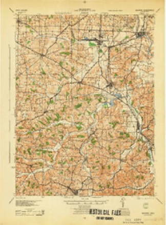
1914 to 1994The same ground, surveyed 80 years apart. Drag the handle to wipe between them. Both sheets are United States Geological Survey originals; neither has been altered.
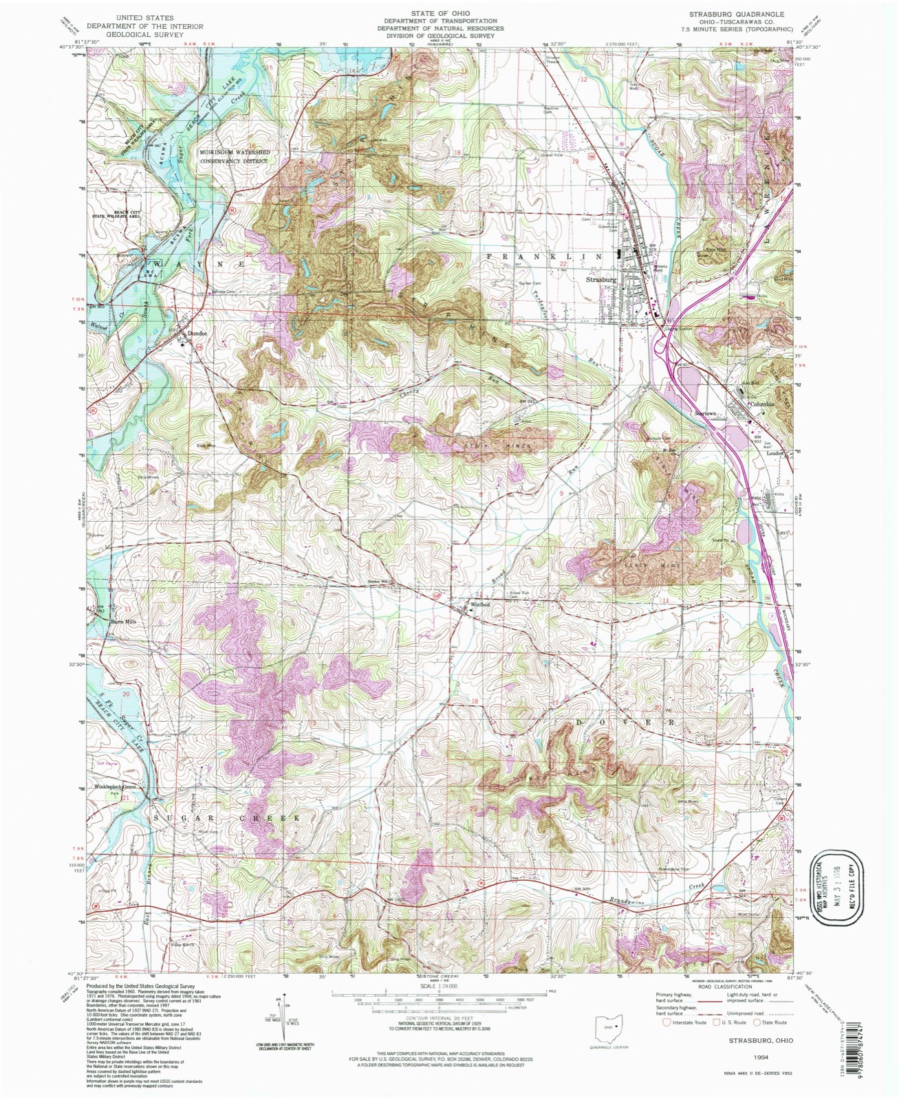
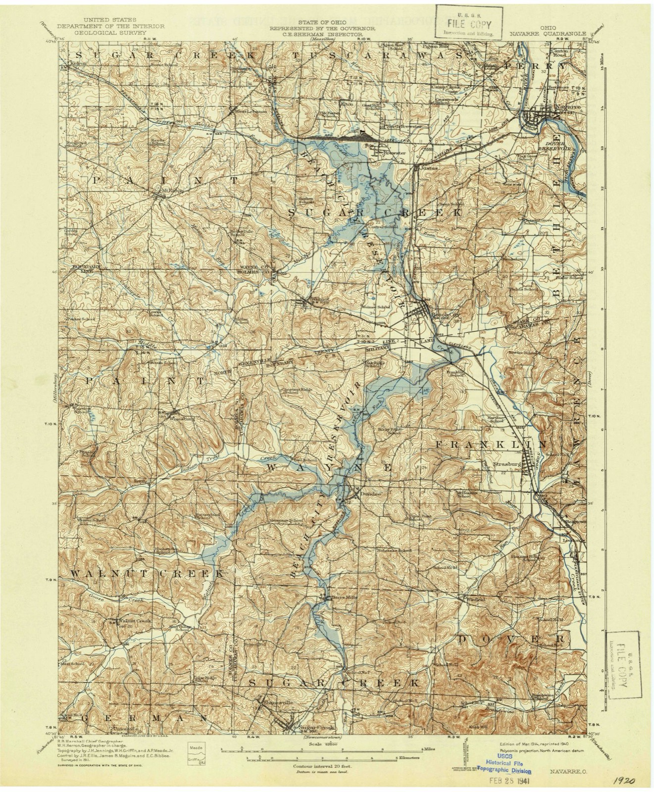
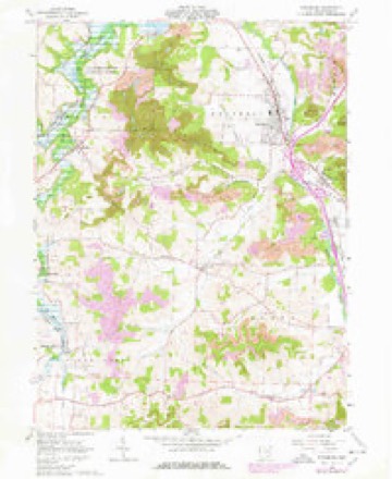
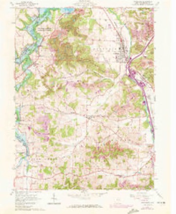
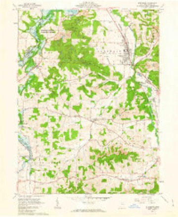
Topographic sheets covering this place
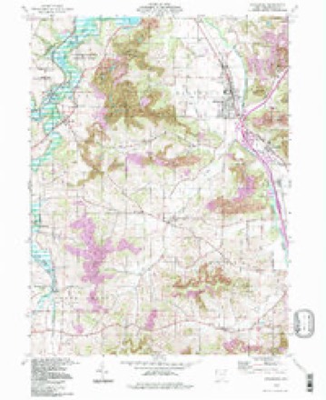
16 sheetsMatched by testing this settlement's coordinate against the published boundary of every sheet in the United States Geological Survey's historical collection. Each opens the scanned sheet at the Survey.
- 1914 USGS Navarre quadrangle1:62500
- 1914 USGS Navarre quadrangle1:62500
- 1944 USGS Navarre quadrangle1:62500
- 1951 USGS Canton quadrangle1:250000
- 1953 USGS Canton quadrangle1:250000
- 1957 USGS Canton quadrangle1:250000
- 1957 USGS Canton quadrangle1:250000
- 1957 USGS Canton quadrangle1:250000
- 1961 USGS Strasburg quadrangle1:24000
- 1961 USGS Strasburg quadrangle1:24000
- 1961 USGS Strasburg quadrangle1:24000
- 1962 USGS Canton quadrangle1:250000
- 1962 USGS Canton quadrangle1:250000
- 1986 USGS Canton quadrangle1:100000
- 1986 USGS Canton quadrangle1:100000
- 1994 USGS Strasburg quadrangle1:24000







In the county-history sources
3,357 words on this townshipThe History of Tuscarawas County, Ohio, published 1884 names this settlement in its chapter on Franklin Township. These are the passages that mention it, exactly as the scans read.
Several archaeological remains of considerable magnitude have recently existed in this township, but the ravages of the plow are rapidly effacing all traces of them. About sixty rods above Sugar Creek Falls, on the north side of the stream, a raised earthwork extended across the plains. The embankment may yet be clearly traced where the land has not yet been cleared. A large white oak, standing on the top of the elevation near the north end, attests the antiquity of the works. About three-fourths of a mile south of Strasburg, on the Hartline farm, near the edge of the plains, is a fort, inclosing about a half acre. The embankment in early days was three or four feet in height. On the east side in one comer, was a gateway or entrance.
Passage source: The History of Tuscarawas County, Ohio, published 1884.
The earliest white settlers of Franklin Township were not land owners. A few squatters built temporary cabins on the plains and tilled a little soil, but hunted and trapped principally for a living, and the school lots in the southwest part of the township were leased and occupied before much, if any, land was entered and settled. It is impossible to state with any degree of certainty the name of the first pioneer. John Burris is said to have been here more than eighty years ago. He came from Maryland, was a noted hunter and Indian fighter, and participated in the war of 1812. More than one Indian is said to have fallen beneath the aim of his rifle. Burris was of a roving disposition, leased a school lot for a time, owned no property, and died in the township. William Smoyer is accredited by some with being the first settler. He was an old bachelor and a squatter. He cleared a little patch of ground on the Zeltman farm, a half mile north N of Strasburg, lived there for some time in a little cabin, then encamped farther up the stream on the Zimmerman farm, southeast quarter of Section 13. In his old age, he shook the dust of Tuscarawas County from his feet and departed for a wilder, more western habitation.
Passage source: The History of Tuscarawas County, Ohio, published 1884.
Abraham Brenninger came from Pennsylvania about 1809, and settled on Military Lot 13, in the northern part of the township. He was a respected citizen, and remained here through life. Henry Duncan owned and occupied Lots 16 and 17 in the extreme northern part of the township. John Casebeer entered and settled on the northwest quarter of Section 12, in the southern line of the township. He subsequently moved West. Abraham Forney emigrated from Somerset County, Penn., to Dover Township about 1809, and entered a farm on Crooked Run, which he sold to Michael Welty, and in 1814 came to Franklin and settled on the northewest quarter of Section 2. He was a local minister of the United Brethren Church, and preached a great deal, at first in his own neighborhood, but later on the circuit. He died about 1825, aged forty-one years. Two of his eight children still reside in Franklin. Walter Griffith entered the southeast quarter of Section 13, and settled here about 1816. After his death his family removed West. Benjamin Gundy was the. owner and occupant of the southwest quarter of Section 20, prior to 1820. Originally from Pennsylvania he had lived in Harrison County for awhile, and after a residence for a time in Franklin Township, he returned to Harrison County. Again changing his place of abode, he sojourned in Wood County for a brief season, then returned to this county and died here. Christian Gnagy came from Pennsylvania about 1818, and purchased the southwest quarter of Section 19. He was a noted local minister of the United Brethren persuasion, and in his old age removed to Wood County, where he died. Michael Kohr was one of fhe earliest pioneers, and also one of the largest landholders. In 1811, he came from Maryland, and settled on the east half of Section 8, which he had entered. He first came out alone, boarded at Knistrick's, built a cabin and cleared and planted about two acres, hired Mr. Noftzinger, of Dover Township, to tend it, then returned East for his family. He lived in this township till old age, then re-married and removed to near Navarre, Stark County, where he died. Philip Knappenberger was born in Northampton County, Penn., in 1783. Attaining his majority, he made atrip West, entered the east half of Section 9, in his father's name, and the northwest quarter of the section in his own name. Returning, he married and brought his wife to the new country. In the face of the Indian troubles, during the war of 1812, he returned East, and at the termination of hostilities, again took up his residence in Franklin. He was a Justice of the Peace, a gun-smith and a farmer; he was a disbeliever in the Bible, and wrote and published a book expressive of his views. Mr. Knappenberger was twice married and died in this township. Jonas Kline emigrated from Pennsylvania before 1820, and settled about two miles west of Strasburg. He afterward went West David Porter owned a little place, and lived for a time in the northern part of the township. Thomas Lappingtqn originally from Maryland, emigrated to Stark County, there married Mary Shutt, and entered and removed to the southwest quarter of Section 9, Franklin Township. He died here before 1820, and his widow and child returned to Stark County. George Wallick, a Pennsylvanian, was an early settler, and the first tanner in Franklin. He purchased and occupied until his death, fifty acres in the western part of Section 19, now the Eberly place. Jehiel Savidge, a native of Connecticut, came from Portage County in 1818, to the plains about a mile north of Strasburg, possessing a faith in the value of this soil, which was ridiculed by many of his neighbors, but which proved in the end to be well founded.
Passage source: The History of Tuscarawas County, Ohio, published 1884.
Machine-read from a century-old scan, so expect the errors a machine makes: misspelled names, dropped words, stray characters.
Read the whole chapter on Franklin Township - it names this place 6 more 6 times.
Fires near this place
18 since 2004Regional context, not property-specific evidence. The federal wildfire occurrence database lists 18 fires within 5 miles of Strasburg between 2004 and 2020, burning about 36 acres in total. None started naturally. 1 was recorded as arson. Distance is straight-line from the map coordinates, so a fire counted here may appear on a neighbouring settlement's page as well.
| Reported cause | Fires |
|---|---|
| Debris and open burning | 8 |
| Power generation/transmission/distribution | 4 |
| Missing data/not specified/undetermined | 3 |
| Arson/incendiarism | 1 |
| Recreation and ceremony | 1 |
| Equipment and vehicle use | 1 |
The most recent of them, most recent first, with the day each was reported and the service that recorded it.
| Date | Cause | Size | Reported by | Name on the report |
|---|---|---|---|---|
| 9 August 2016 | Power generation/transmission/distribution | under an acre | Ohio Department of Natural Resources | 5345 |
| 27 July 2016 | Arson/incendiarism | 3.0 acres | Ohio Department of Natural Resources | 5265 |
| 12 June 2016 | Power generation/transmission/distribution | under an acre | Ohio Department of Natural Resources | 5025 |
| 5 May 2012 | Equipment and vehicle use | under an acre | Ohio Department of Natural Resources | not named |
| 9 April 2005 | Debris and open burning | under an acre | Ohio Department of Natural Resources | not named |
| 20 April 2006 | Debris and open burning | 1.0 acres | Ohio Department of Natural Resources | not named |
| 18 April 2014 | Debris and open burning | 2.5 acres | Ohio Department of Natural Resources | not named |
| 12 April 2006 | Missing data/not specified/undetermined | 1.0 acres | Ohio Department of Natural Resources | not named |
Settlements close enough to share some of these fires:
Specimens collected near this place
12 of 376 shownRegional context, not property-specific evidence. Museums hold 376 specimens collected within 10 miles of Strasburg between 1851 and 1973: 217 Animalia, 144 Plantae, 14 Fungi, 1 Chromista. 12 distinct Species records are shown. Collected by A W Cusick, A. Cibula, A. Cobula and others. Each is a physical object with a catalogue number, and each entry opens the museum's record. This is what was collected and kept, not a survey of what lives here - nothing can be concluded from a species being absent.
| Image | Species | Year | Collected by | Where, as recorded |
|---|---|---|---|---|
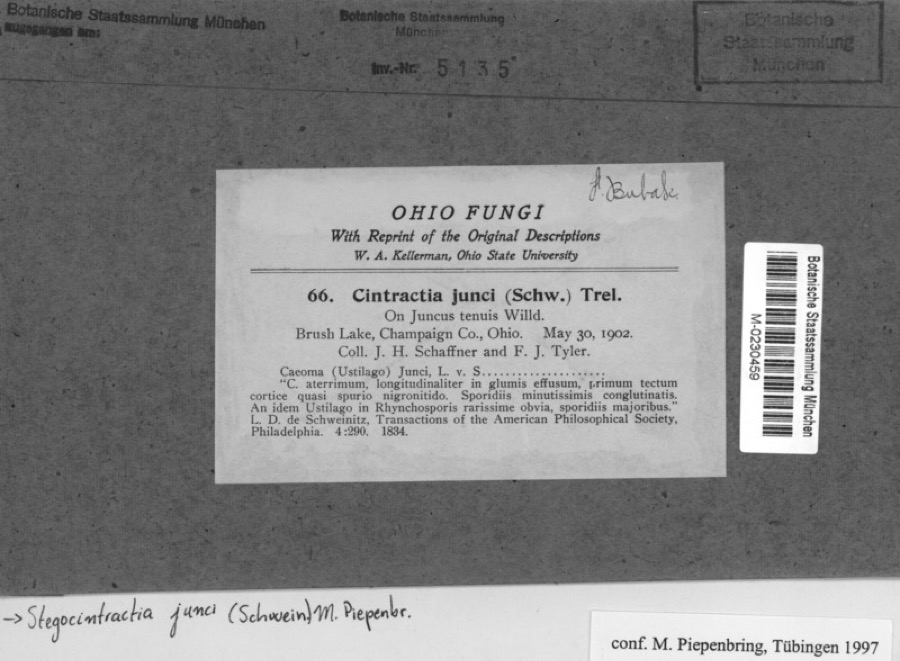 | Juncus tenuis Willd. | 1902 | Schaffner, J.H. | Brusk Lake, Champaign co., Ohio |
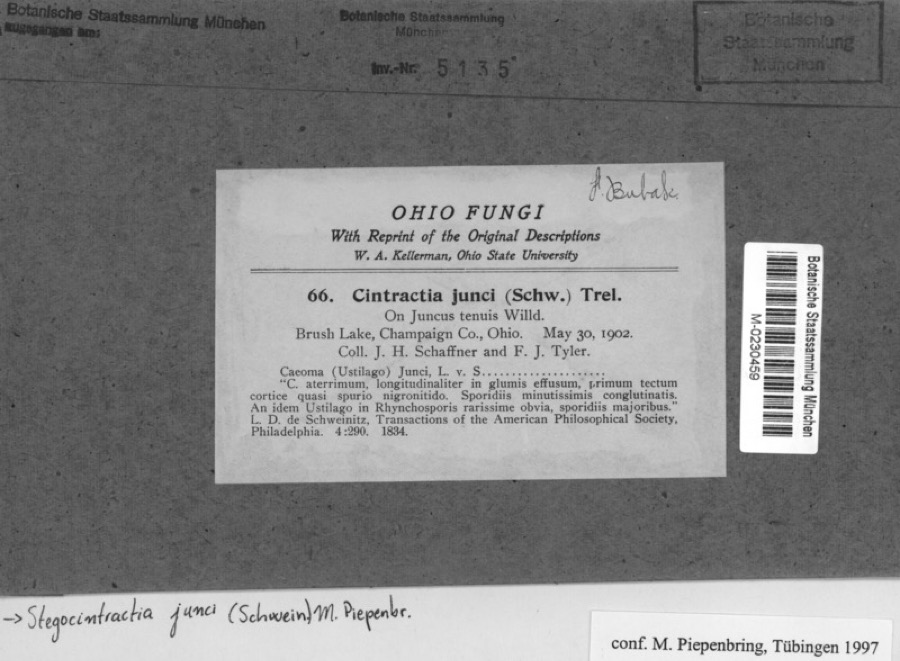 | Stegocintractia junci (Schwein.) M.Piepenbr. | 1902 | Schaffner, J.H. | Brusk Lake, Champaign co., Ohio |
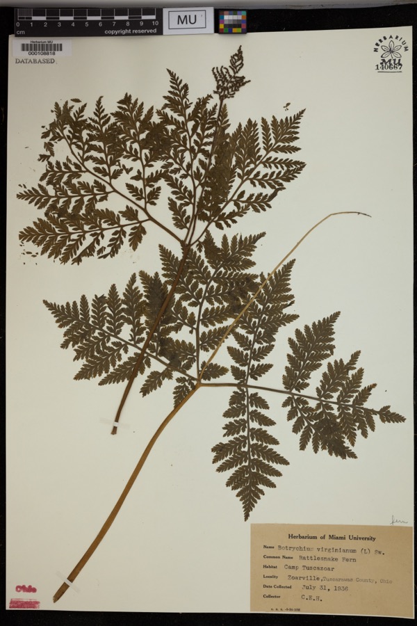 | Botrychium virginianum (L.) Sw. | 1936 | Heintzelmann, C.E. | Camp Tuscazoar, Zoarville. |
 | Amelanchier arborea (F.Michx.) Fernald | 1851 | Wolle, J. | Canoe Down [Canal Dover] |
 | Anemone canadensis L. | 1851 | Wolle, J. | Canoe Down [Canal Dover] |
 | Cardamine douglassii Britton | 1851 | Wolle, J. | Canae Docus [??] [Canal Dover] |
 | Conopholis americana (L.) Wallr. | 1851 | Wolle, J. | Canoe Down [Canal Dover?] |
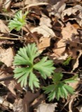 | Delphinium tricorne Michx. | 1851 | Wolle, J. | Canoe Down [Canal Dover] |
 | Erythronium americanum Ker Gawl. | 1851 | Wolle, J. | Canal Dover |
 | Hydrophyllum appendiculatum Michx. | 1851 | Wolle, J. | Canoe Down [Canal Dover] |
 | Hydrophyllum virginianum L. | 1851 | Wolle, J. | Canoe Down [Canal Dover] |
 | Silene virginica L. | 1851 | Wolle, J. | Canal Downs [Canal Dover] |
All 376 specimens within 10 miles, at the Global Biodiversity Information Facility.
Mines and quarries near this place
10 of 18 shownRegional context, not property-specific evidence. The federal mineral resources record lists 18 workings within 5 miles of Strasburg: 10 producers, 7 past producers, 1 plant. 11 still produce. What was taken out: Clay, Stone, Crushed/Broken, Coal, Sand and Gravel, Construction. Distance is straight-line from the map coordinates, so a quarry counted here may appear on a neighbouring settlement's page as well.
| Where | Site | Commodity | Status | Recorded |
|---|---|---|---|---|
| Corundite Plant | Fire Clay (Refractory) | Past Producer | ||
| Plant Number 8 | Fire Clay (Refractory) | Producer | ||
| Strasburg Brick Mill | Fire Clay (Refractory) | Past Producer | ||
| 77 Sand & Gravel Pit | Sand and Gravel, Construction | Producer | ||
| Belden Pit | Clay, Coal | Producer | ||
| Belden Pit | Clay, Coal | Producer | ||
| Belden Pit | Clay, Coal | Producer | ||
| Cleveland Quarry | Stone, Crushed/Broken | Producer | ||
| County Line Sr 212 Pit | Sand and Gravel, Construction | Producer | ||
| Coxey Plant & Quarry | Stone, Crushed/Broken | Plant |
Storms near this place
28 since 1996Regional context, not property-specific evidence. The National Weather Service names Strasburg in 28 storm reports between 1996 and 2025: 17 thunderstorm wind, 7 hail, 3 flash flood, 1 tornado. No death or injury is recorded in these reports. Each account below is quoted exactly as the forecast office filed it, from the NOAA Storm Events Database, and each date opens the federal record of that event.
| When | Event | Place named | Harm | What the report says |
|---|---|---|---|---|
| June 2008 | Thunderstorm Wind | Strasburg | $200,000 | Emergency management reported damage to the roof of a school as well as trees and power lines down near Strasburg and across the county. |
| June 2011 | Thunderstorm Wind | Strasburg | $50,000 | Department of transportation reported numerous trees and power lines down in Strasburg. |
| June 2009 | Thunderstorm Wind | Strasburg | $50,000 | Law enforcement reported trees down in Strasburg. |
| June 2006 | Tornado (F1) | Strasburg | $50,000 | An NWS storm survey found a tornado producing weak F1 damage to trees and out buildings touched down about 2 miles northwest of Strousberg and lifted 2 miles north of Strousberg. The tornado was on the ground for about 3 miles with a width of around 50 yards. This tornado was produced by the same severe thunderstorm that produced tornadoes in both Holmes and Stark counties in Ohio. (See StormData for Northeast Ohio) |
| July 2012 | Thunderstorm Wind | Strasburg | $35,000 | The 911 center reported trees and power lines down near Strasburg. |
| June 2011 | Thunderstorm Wind | Strasburg | $35,000 | Law enforcement reported trees down in Strasburg. |
| May 1998 | Thunderstorm Wind | Strasburg | $30,000 | Thunderstorm winds ripped part of a roof off of a school. Trees were also downed. |
| August 2007 | Thunderstorm Wind | Strasburg | $25,000 | Emergency management reported large trees down in Strasburg. |
| June 2020 | Thunderstorm Wind | Strasburg | $5,000 | Multiple instances of downed trees and power lines were reported along Strasburg-Bolivar Road and Ridge Road. |
| June 2004 | Thunderstorm Wind | Strasburg | $3,000 | Trees and power lines blown down. |
| July 1998 | Thunderstorm Wind | Strasburg | $3,000 | Several trees were downed by thunderstorm winds. |
| June 2025 | Thunderstorm Wind | Strasburg | $2,000 | Trees were reported down in Strasburg. |
| November 2017 | Thunderstorm Wind | Strasburg | $2,000 | State official reported multiple trees and power lines down. |
| August 1996 | Thunderstorm Wind | Strasburg | $2,000 | no account filed |
| April 2013 | Thunderstorm Wind | Strasburg | $1,000 | Law enforcement reported trees down. |
| May 2018 | Thunderstorm Wind | Strasburg | $500 | Emergency manager reported trees down on Route 21 between Routes 212 and 250. |
| June 2022 | Hail | Strasburg | - | Hail reported by spotter. |
| June 2022 | Hail | Strasburg | - | Hail reported via social media. |
| March 2019 | Hail | Strasburg | - | Hail measurement of 0.75 inches were observed. |
| August 2018 | Flash Flood | Strasburg | - | The county emergency manager reported road flooding on North Bodmer Avenue, with knee high water reaching one home. |
| September 2018 | Thunderstorm Wind | Strasburg | - | There was a social media report of trees and power-lines down. |
| May 2004 | Thunderstorm Wind | Strasburg | - | Tree blown down at intersection of Routes 21 and 250. Police noticed funnel cloud, but it did not touch down. |
| June 2004 | Flash Flood | Strasburg | - | At 1246 AM EDT on 17th, the intersection of SR 250 and Rte 21 flooded. By 430 AM EDT on 17th, Walnut Creek flooded near Dundee, causing the closing of Walnut Creek Rd and Trail Bottom Rd. And CR 94 and CR 95 were flooded. |
| May 2016 | Hail | Strasburg | - | no account filed |
| August 2004 | Hail | Strasburg | - | no account filed |
| July 2003 | Hail | Strasburg | - | no account filed |
| April 2002 | Hail | Strasburg | - | no account filed |
| May 1996 | Flash Flood | Strasburg | - | no account filed |
Nearest settlements
The eight closest, with where each one stands in the county. Distances are straight-line, computed from the Geographic Names Information System coordinates.
| Map | Place | Distance | Sheets |
|---|---|---|---|
| Beartown | 1.5 miles | 16 | |
| Columbia | 1.7 miles | 16 | |
| Loudon | 2.2 miles | 16 | |
| Parral | 2.8 miles | 16 | |
| Deardoffs Mills (historical) | 3.3 miles | 18 | |
| Winfield | 3.6 miles | 16 | |
| Candlelight Villas | 3.7 miles | 16 | |
| Dundee | 4.3 miles | 16 |
Elsewhere
Matched on this settlement's Geographic Names Information System number rather than its name, so it cannot be a different place of the same name in another state.
| Wikipedia article on Strasburg | An encyclopaedic summary. Its text is share-alike, so it is linked here rather than copied. |
| Wikidata item Q1851480 | The structured record the population and elevation above come from. Public domain (CC0). |
Provenance
This settlement is recorded in the Geographic Names Information System as feature 1065393. The sheet list is computed by point-in-boundary test against the United States Geological Survey's historical topographic inventory. Both are works of the United States government and carry no copyright under 17 U.S.C. 105.
Wildfire. Short, Karen C. 2022. Spatial wildfire occurrence data for the United States, 1992-2020 [FPA_FOD_20221014]. 6th Edition. Fort Collins, CO: Forest Service Research Data Archive. https://doi.org/10.2737/RDS-2013-0009.6 Collected with United States Government funding and usable without additional permissions or fees.
Specimens. Global Biodiversity Information Facility (GBIF), https://www.gbif.org/. Only records licensed CC0 or CC BY are used. Records licensed CC BY-NC are excluded because this site carries advertising. Images are checked individually and any whose licence is non-commercial, no-derivatives or unreadable is refused.
Mines and quarries. USGS Mineral Resources Data System (MRDS) https://mrdata.usgs.gov/mrds/ A work of the United States government, no copyright under 17 U.S.C. 105.
Storms. NOAA National Centers for Environmental Information, Storm Events Database https://www.ncei.noaa.gov/stormevents/ A work of the United States government, no copyright under 17 U.S.C. 105. Narratives are quoted verbatim from the National Weather Service report and are not edited or summarised.