 Block
East Blackstone, Massachusetts
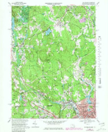
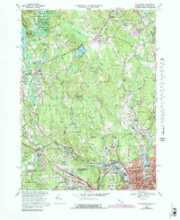
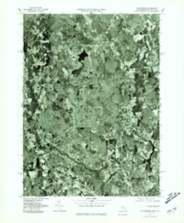
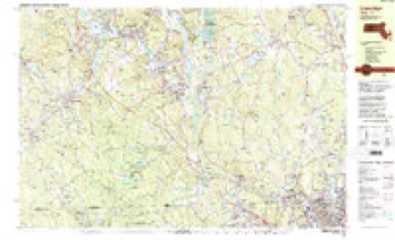
50 topographic sheets cover this place, the earliest surveyed in 1886 and the latest in 1989. It stands in Blackstone town. It lies in ZIP code area 01504. It stands on Quick Stream. The Survey maps it on the Blackstone quadrangle.
Then and now
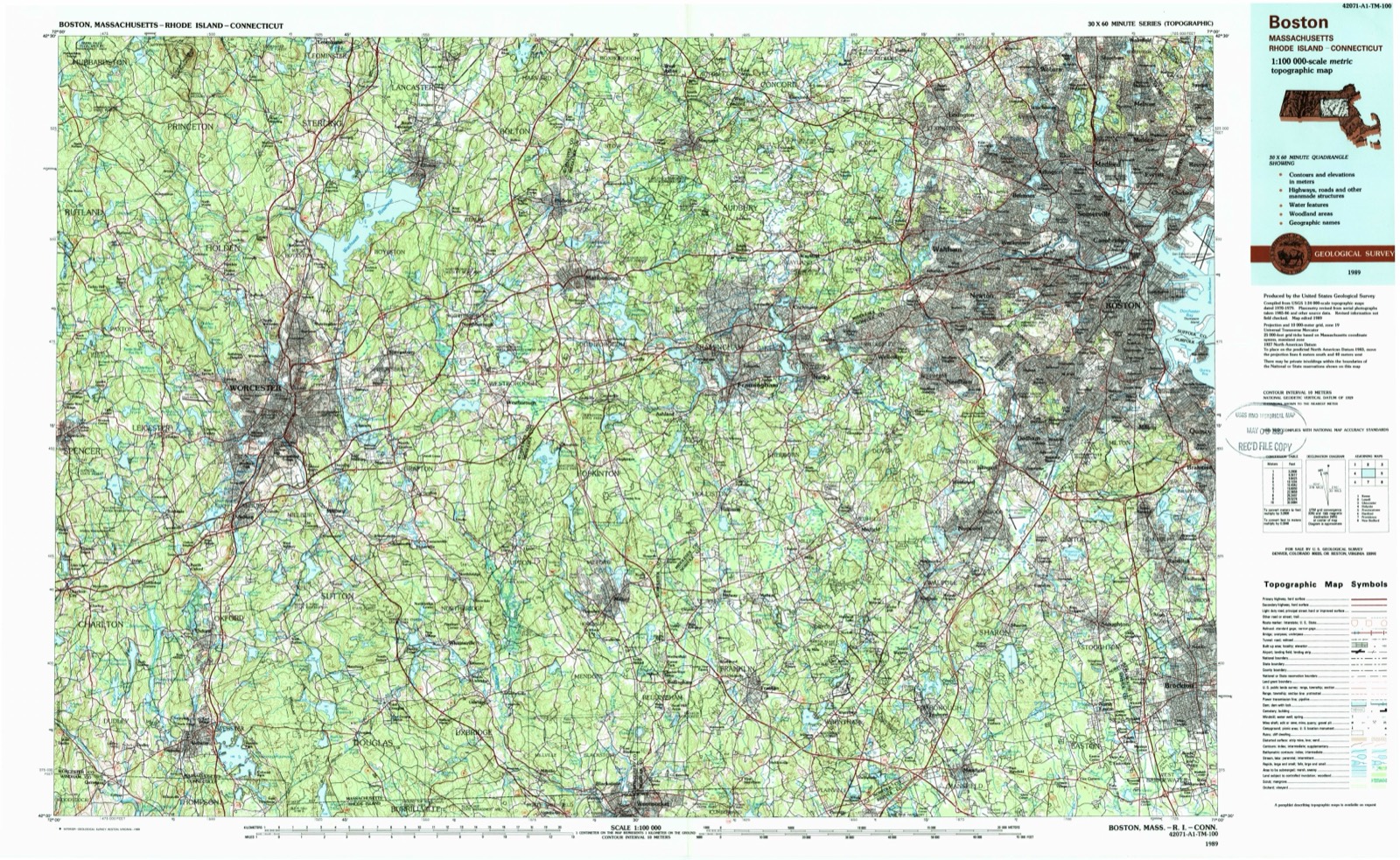
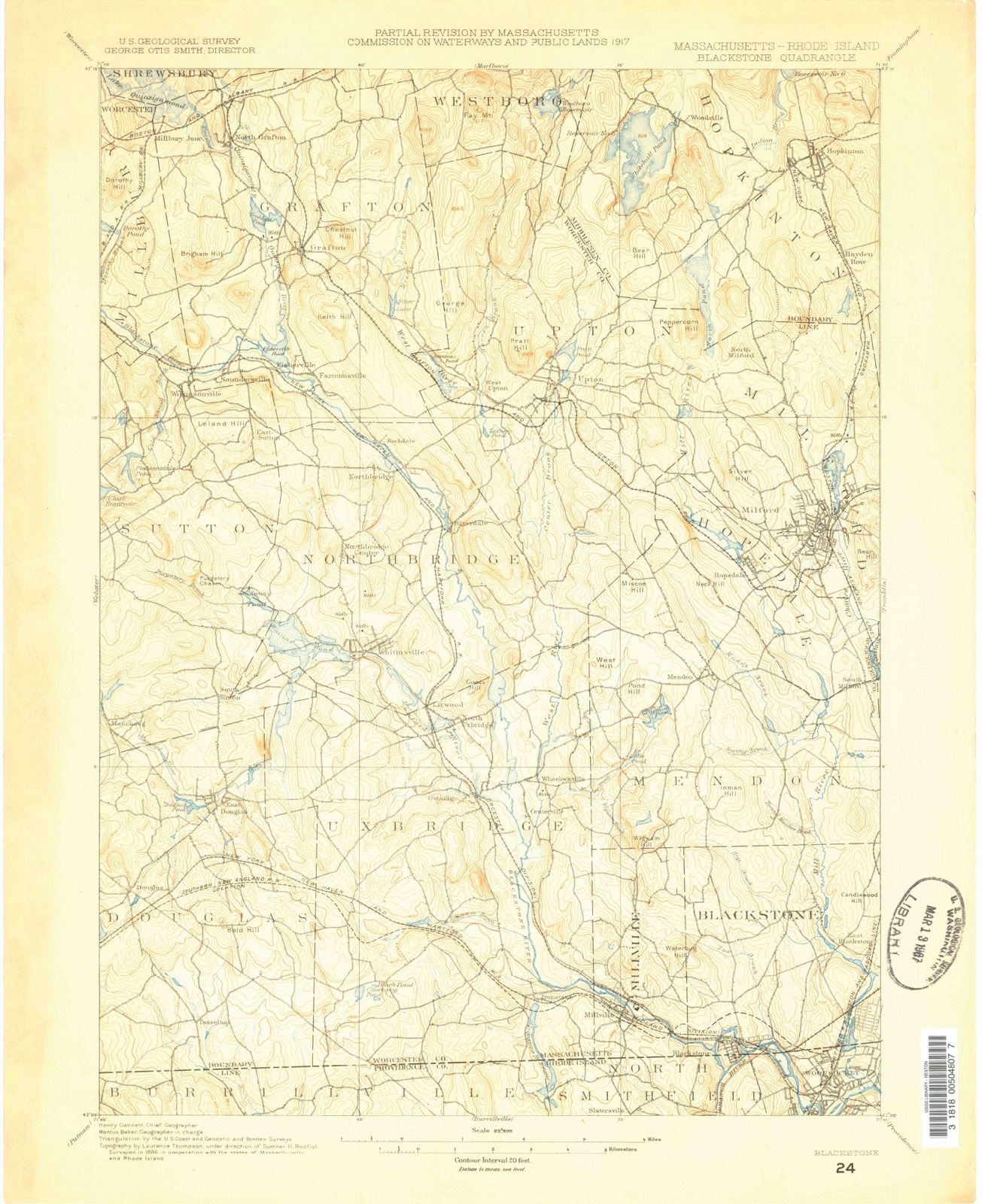
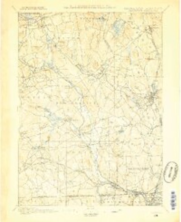
1886 to 1989The same ground, surveyed 103 years apart. Drag the handle to wipe between them. Both sheets are United States Geological Survey originals; neither has been altered.
On record in East Blackstone
Buildings and businesses the archive holds for this place. Each opens its own page, with the source record it came from.
On the National Register within a mile 3 records
The National Register names another town for these. They stand within one mile of this settlement's coordinate.
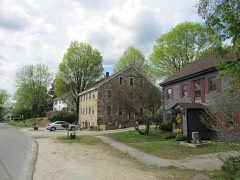 East Blackstone Village Historic Districtlisted 1995 · 0.3 miles away
 Benjamin Thayer Houselisted 2009 · 0.8 miles away
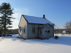 East Blackstone Friends Meetinghouselisted 1995 · 0.9 miles away
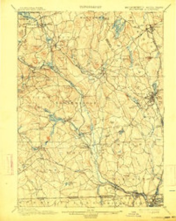
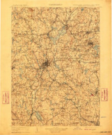
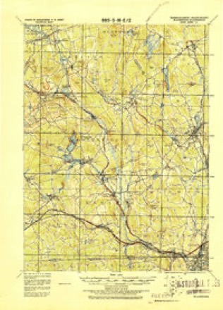
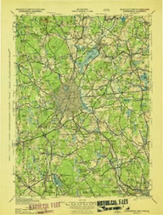
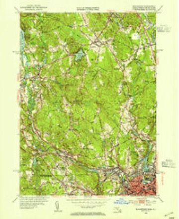
Topographic sheets covering this place
21 surveys from 50 printed sheetsMatched by testing this settlement's coordinate against the published boundary of every sheet in the United States Geological Survey's historical collection. Each opens the scanned sheet at the Survey.
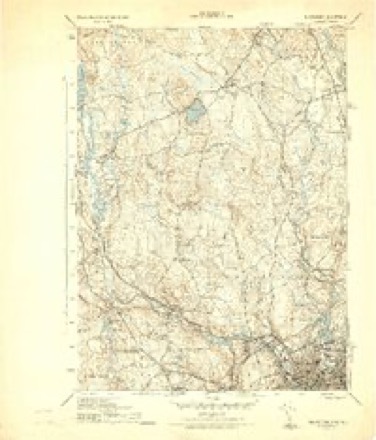
- 1886 USGS Blackstone quadrangle1:62500
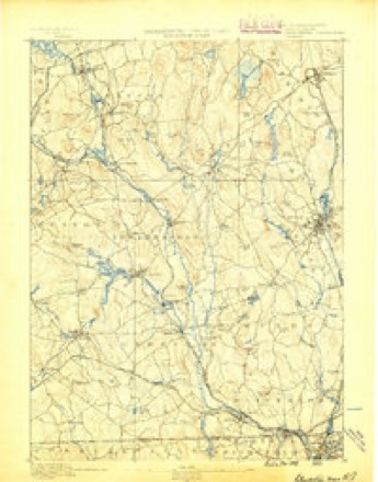
- 1889 USGS Blackstone quadrangle1:62500
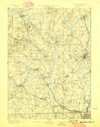
- 1893 USGS Blackstone quadrangle1:62500, 2 printings
- 1900 USGS Blackstone quadrangle1:62500, 7 printings
- 1908 USGS Quinsigamond quadrangle1:125000, 3 printings
- 1919 USGS Blackstone quadrangle1:62500, 2 printings
- 1943 USGS Quinsigamond quadrangle1:125000
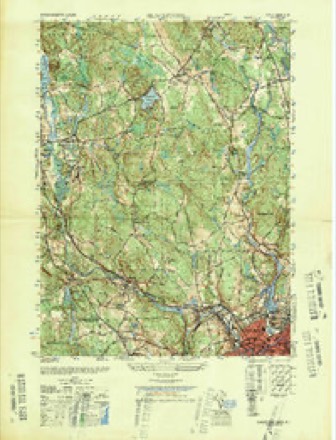
- 1944 USGS Blackstone quadrangle1:31680, 5 printings
- 1948 USGS Blackstone quadrangle1:25000
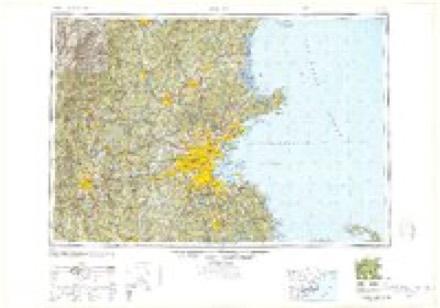
- 1948 USGS Boston quadrangle1:250000, 2 printings
- 1953 USGS Blackstone quadrangle1:24000, 2 printings
- 1953 USGS Blackstone quadrangle1:31680, 2 printings
- 1956 USGS Boston quadrangle1:250000, 6 printings
- 1958 USGS Boston quadrangle1:250000, 2 printings
- 1961 USGS Boston quadrangle1:250000, 2 printings
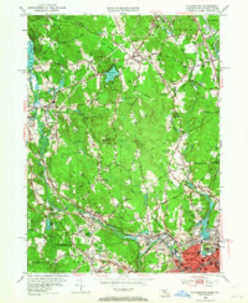
- 1969 USGS Blackstone quadrangle1:24000, 4 printings
- 1969 USGS Blackstone quadrangle1:25000, 2 printings
- 1977 USGS Blackstone quadrangle1:25000
- 1982 USGS Uxbridge quadrangle1:25000
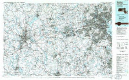
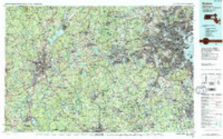
- 1985 USGS Boston quadrangle1:100000
- 1989 USGS Boston quadrangle1:100000, 2 printings
In the county-history sources
18,023 words on this townshipHistory of Worcester County, Massachusetts, published 1889 names this settlement in its chapter on Blackstone Town. These are the passages that mention it, exactly as the scans read.
Richardson had land laid out on the lower course of Mill River in 1700 and upon (iuickstream in 1702. Of this man we know nothing further, save the fact that in 1699 he received the usual bounty per head from the town of Mendon for killing five grown wolves. It is probable that this pioneer in the pleasant fields of the coming East Blackstone was accompanied by other proprietors and those who were not proprietors. Two years before, in 1698, the Rehoboth road was laid out down through the Mill River Valley from Mendon town to the Dedham- line, corresponding nearly to the Bellingham line. Elm Street in our days represents this most ancient of our legal highways. By family tradition rather than by any records we know that the founders of the two families of Daniels and Thayer were fairly settled in the northeastern portion of the tow-n about 1710, and owned and occupied the land in that section by proprietor's rights.
Passage source: History of Worcester County, Massachusetts, published 1889.
The people of the Mill River section of the Mendon South Parish seem to have been largely Anabaptists and Friends. Until the beginning of the present century the latter had attended the meeting in Mendon village, where the Friends built a meeting-house in 1729. In 1799 Samuel Smith, a well-to-do farmer belonging to the society, conveyed a piece of land to trustees for the erection of a meeting-house on the southern margin of his farm. Here, in 1812, was erected the building still standing, and meetings twice in the week were held here with the greatest regularity for many years. This meeting absorbed the membership from Mendon Meeting when the latter was discontinued in 1841. The Anabaptists were associated with others of that view in the town of Bellingham, and never erected any house in East Blackstone.
Passage source: History of Worcester County, Massachusetts, published 1889.
Under date of August 22, 1791, the Mendon records contain the report of a committee of ten who had been appointed to redistrict the town into school districts. This committee reported the bounds of thirteen districts, of which seven appear to have been in the South Parish. The following are the words of the report defining what is now the Five Corner District: "Beginning at the Wid. Margaret Daniel's, excluding her, thence east on the Mill River to where David Handy lives, including him, thence to Hop Brook bridge (so called) on Smithfield road, thence to Benjamin and Nicholas Thayer's, including them, thence northward to the first bound." The East Blackstone and the Harris Privilege Districts were combined as follows : " Beginning at Hop Brook bridge, thence to Anthony Chase, including him, thence to Cumberland line, thence to Bellingham line, thence to Jotham Pickering's, including him, thence to Ichabod Pickering's, including him, thence to Seth Kelly's, including him, thence to first mentioned bound." The Waterford and Blackstone Districts were defined thus: "Beginning at George Gaskill's, including him, thence to Cogswell Chase, including him, thence up stream to the Great River until it comes south of Matthew Darling's house, thence to Jacob Aldrich's, including him, thence to Gideon Thayer's, excluding him, thence to the firstmentioned bound." Millville District was divided in two by the Blackstone River. The southern section is bounded : " Beginning at Uxbridge line, where it crosses the Great River, thence down stream the Great River to the Colony line, thence west on said Colony line to Uxbridge line, thence on Uxbridge line to the bound first mentioned." The northern section was bounded : " Beginning at Uxbridge line diiectly west of the Widow Warfield's house, thence to Benjamin Blake's, excluding him, thence to Matthew Darling's, including him, thence south to the Great River, thence up stream said river till it comes to Uxbridge line, thence to first mentioned bound." The Chestnut Hill District, less extensive than at present, was bounded: "Beginning at Nathaniel Taft's, including him, thence to Col. Joseph Chapin's old house, including him, thence to Uxbridge line to Jacob Taffs, including him, thence to Levi Young's, including him, thence to Jesse Tourtelotte's, including him, thence to first mentioned bound," which appears to be a section of the North Parish. Now Mendon: "Beginning at Timothy Alexander's, including him and Simon Alexander, thence to David Legg's, including him, thence on Uxbridge line until it comes directly west of the Widow Warfield's house, thence to Asa Blake's, including him, thence to Benjamin Blake's, including him and his son, Zaccheus, thence to the first mentioned bound.'' Between the Five Corners District and the district just described was another district now divided between them : " Beginning at Damp Swamp road, where the Parish line crosses, thence to Timothy Alexander's, excluding him, thence to Benjamin Blake's, excluding him, thence to the road south of said Benjamin Blake's house, thence to Gideon Thayer's, includino' him, thence east to Hop Brook bridge, thence up stream said brook to the first mentioned bound." As thus defined the school districts remained until September 2, 1811, when the town accepted the report of a committee, advising the union of the two sections at Millville into one district, and the constituting of the village property of the the Blackstone Manufacturing Company a new district. The first part of this change did not prove acceptable, for on the 5th of June, 1812, it was "voted to set oil" all the inhabitants on the west side of Black^tone River, except Esek Pitts, Daniel Southwick and Nathaniel Capron, as a school district." On the 2Sth of June, 1824, the school districts were again defined, but substantially as already described. Prudential school committees were first chosen on 25th of August, 1827, and on that date the number of districts was unchanged, but at their election, April 15, 1833, two new districts are added - -Pickering's, or Harris Privilege, and Waterford. A few years later we find the whole number of districts in the South Parish to be eleven, and with that number the town of Blackstone began its corporate existence. Both Chestnut Hill and the Five Corners had school-houses shortly after 1790.
Passage source: History of Worcester County, Massachusetts, published 1889.
Machine-read from a century-old scan, so expect the errors a machine makes: misspelled names, dropped words, stray characters.
Read the whole chapter on Blackstone Town - it names this place 13 more 13 times.
Fires near this place
147 since 2002Regional context, not property-specific evidence. The federal wildfire occurrence database lists 147 fires within 5 miles of East Blackstone between 2002 and 2020, burning about 104 acres in total. None started naturally. 24 were recorded as arson. Distance is straight-line from the map coordinates, so a fire counted here may appear on a neighbouring settlement's page as well.
| Reported cause | Fires |
|---|---|
| Missing data/not specified/undetermined | 41 |
| Debris and open burning | 33 |
| Recreation and ceremony | 26 |
| Arson/incendiarism | 24 |
| Smoking | 14 |
| Equipment and vehicle use | 4 |
| Railroad operations and maintenance | 2 |
| Power generation/transmission/distribution | 1 |
| Misuse of fire by a minor | 1 |
| Other causes | 1 |
The most recent of them, most recent first, with the day each was reported and the service that recorded it.
| Date | Cause | Size | Reported by | Name on the report |
|---|---|---|---|---|
| 8 September 2018 | Debris and open burning | under an acre | Massachusetts Bureau of Forest Fire Control | not named |
| 8 September 2018 | Debris and open burning | under an acre | Massachusetts Bureau of Forest Fire Control | not named |
| 8 September 2018 | Debris and open burning | under an acre | Massachusetts Bureau of Forest Fire Control | not named |
| 4 September 2015 | Recreation and ceremony | under an acre | Rhode Island Division of Forest Environment | not named |
| 3 September 2018 | Debris and open burning | under an acre | Massachusetts Bureau of Forest Fire Control | not named |
| 29 September 2002 | Recreation and ceremony | under an acre | Massachussetts State Fire Marshal's Office | not named |
| 28 September 2015 | Recreation and ceremony | under an acre | Massachusetts Bureau of Forest Fire Control | BELLINGHAM |
| 27 September 2015 | Smoking | under an acre | Massachusetts Bureau of Forest Fire Control | BELLINGHAM |
Settlements close enough to share some of these fires:
Specimens collected near this place
12 of 249 shownRegional context, not property-specific evidence. Museums hold 249 specimens collected within 10 miles of East Blackstone between 1844 and 1974: 132 Plantae, 89 Animalia, 23 Fungi, 3 Unrecorded, 2 Chromista. 12 distinct Species records are shown. Collected by A. B. Seymour, A. R. Hodgdon; F. L. Steele, A. R. Hodgdon; F. L. Steele and others. Each is a physical object with a catalogue number, and each entry opens the museum's record. This is what was collected and kept, not a survey of what lives here - nothing can be concluded from a species being absent.
| Image | Species | Year | Collected by | Where, as recorded |
|---|---|---|---|---|
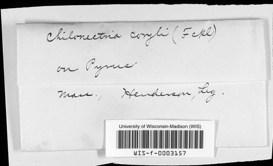 | Chilonectria coryli (Fuckel) Ellis & Everh. | 1896 | Henderson | |
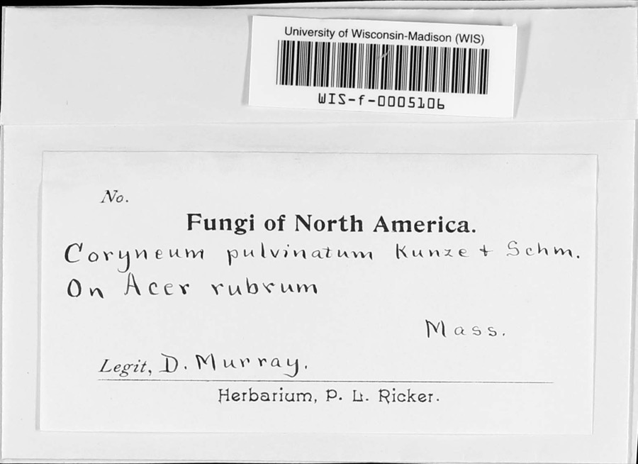 | Coryneum pulvinatum Kunze | 1897 | D. Murray | |
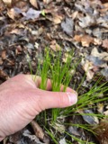 | Trichophorum planifolium (Spreng.) Palla | 1844 | Collector unspecified | Uxbridge |
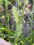 | Carex vesicaria L. | 1848 | J. W. Robbins | |
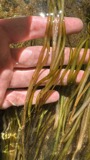 | Potamogeton epihydrus Raf. | 1848 | J. W. Robbins | Uxbridge |
 | Potamogeton bicupulatus Fernald | 1854 | W. J. Robbins | Uxbridge |
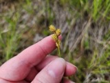 | Carex brevior (Dewey) Mack. | 1855 | J. W. Robbins | |
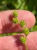 | Carex normalis Mack. | 1855 | J. W. Robbins | |
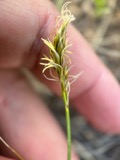 | Carex siccata Dewey | 1855 | J. W. Robbins | |
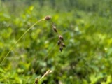 | Carex straminea Willd. ex Schkuhr | 1855 | J. W. Robbins | |
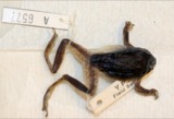 | Hyla versicolor LeConte, 1825 | 1857 | Weinland, David Friedrich | |
| Pleomassaria Speg. | 1893 | F.G. Henderson |
All 249 specimens within 10 miles, at the Global Biodiversity Information Facility.
Mines and quarries near this place
10 of 15 shownRegional context, not property-specific evidence. The federal mineral resources record lists 15 workings within 5 miles of East Blackstone: 11 past producers, 2 occurrences, 1 unknown, 1 prospect. None of them still produces. What was taken out: Sand and Gravel, Construction, Iron, Titanium, Metal, Vanadium, Molybdenum. Distance is straight-line from the map coordinates, so a quarry counted here may appear on a neighbouring settlement's page as well.
| Where | Site | Commodity | Status | Recorded |
|---|---|---|---|---|
| Copper Hill | Molybdenum | Occurrence | Chalcopyrite, Molybdenite, Scheelite | |
| Copper Mine Hill | Tungsten, Copper, Garnet, Molybdenum, Iron | Occurrence | Magnetite, Scheelite | |
| Iron Mine Hill | Iron, Titanium | Prospect | ||
| Iron Mine Hill Deposit | Iron, Titanium, Metal, Vanadium | Past Producer | ||
| Iron Mine Hill Deposit | Iron, Copper | Past Producer | Magnetite | |
| Manville Quarry | Stone, Crushed/Broken | Unknown | ||
| Candlewood Recreation Area | Sand and Gravel, Construction | Past Producer | ||
| Carl A Molinari | Sand and Gravel, Construction | Past Producer | Sedimentary | |
| Carl A. Molinari Pit | Sand and Gravel, Construction | Past Producer | ||
| Fortes Brothers Co Inc | Sand and Gravel, Construction | Past Producer | Sedimentary |
Storms near this place
4 since 2015Regional context, not property-specific evidence. The National Weather Service names East Blackstone in 4 storm reports between 2015 and 2019: 2 thunderstorm wind, 2 flood. No death or injury is recorded in these reports. Each account below is quoted exactly as the forecast office filed it, from the NOAA Storm Events Database, and each date opens the federal record of that event.
| When | Event | Place named | Harm | What the report says |
|---|---|---|---|---|
| May 2018 | Flood | East Blackstone | $5,000 | At 5:23 PM EST, Main Street in Blackstone was flooded and impassable. A car was trapped in the floodwaters and towed out. |
| June 2015 | Thunderstorm Wind | East Blackstone | $5,000 | A tree was downed onto wires at the intersection of Milk and Chestnut Streets in Blackstone. |
| August 2019 | Thunderstorm Wind | East Blackstone | $1,000 | In Blackstone, a tree was down on Federal Street near the Hartnett Middle School. Trees and wires were down on Farm Street. |
| November 2018 | Flood | East Blackstone | - | In Blackstone, Main Street was closed due to flooding. A car was stuck in flood waters on Main Street near CVS Pharmacy. |
Nearest settlements
The eight closest, with where each one stands in the county. Distances are straight-line, computed from the Geographic Names Information System coordinates.
| Map | Place | Distance | Sheets |
|---|---|---|---|
| Millerville | 1.6 miles | 44 | |
| Blackstone | 2.3 miles | 50 | |
| Chestnut Hill Meeting House | 3.5 miles | 50 | |
| Millville | 3.8 miles | 50 | |
| South Milford | 4.2 miles | 50 | |
| Mendon | 4.9 miles | 50 | |
| Spindleville | 5.1 miles | 50 | |
| Ironstone | 5.3 miles | 50 |
Elsewhere
Matched on this settlement's Geographic Names Information System number rather than its name, so it cannot be a different place of the same name in another state.
| Wikidata item Q122551851 | The structured record the population and elevation above come from. Public domain (CC0). |
Provenance
This settlement is recorded in the Geographic Names Information System as feature 611633. The sheet list is computed by point-in-boundary test against the United States Geological Survey's historical topographic inventory. Both are works of the United States government and carry no copyright under 17 U.S.C. 105.
Wildfire. Short, Karen C. 2022. Spatial wildfire occurrence data for the United States, 1992-2020 [FPA_FOD_20221014]. 6th Edition. Fort Collins, CO: Forest Service Research Data Archive. https://doi.org/10.2737/RDS-2013-0009.6 Collected with United States Government funding and usable without additional permissions or fees.
Specimens. Global Biodiversity Information Facility (GBIF), https://www.gbif.org/. Only records licensed CC0 or CC BY are used. Records licensed CC BY-NC are excluded because this site carries advertising. Images are checked individually and any whose licence is non-commercial, no-derivatives or unreadable is refused.
Mines and quarries. USGS Mineral Resources Data System (MRDS) https://mrdata.usgs.gov/mrds/ A work of the United States government, no copyright under 17 U.S.C. 105.
Storms. NOAA National Centers for Environmental Information, Storm Events Database https://www.ncei.noaa.gov/stormevents/ A work of the United States government, no copyright under 17 U.S.C. 105. Narratives are quoted verbatim from the National Weather Service report and are not edited or summarised.