 Block
Ironstone, Massachusetts
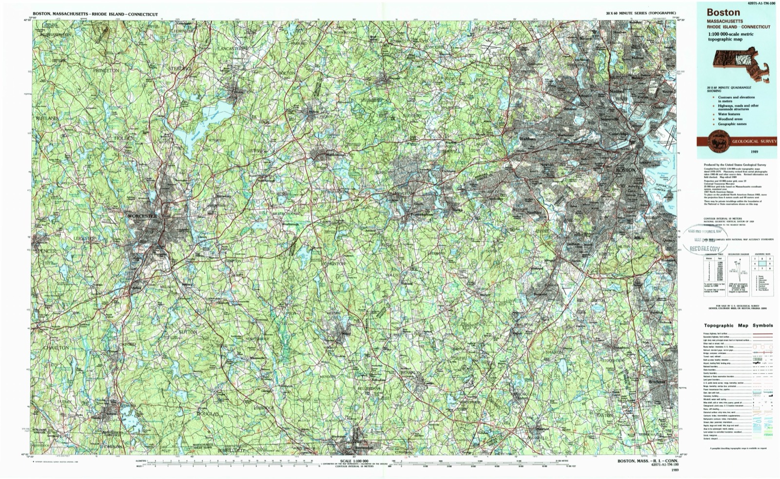
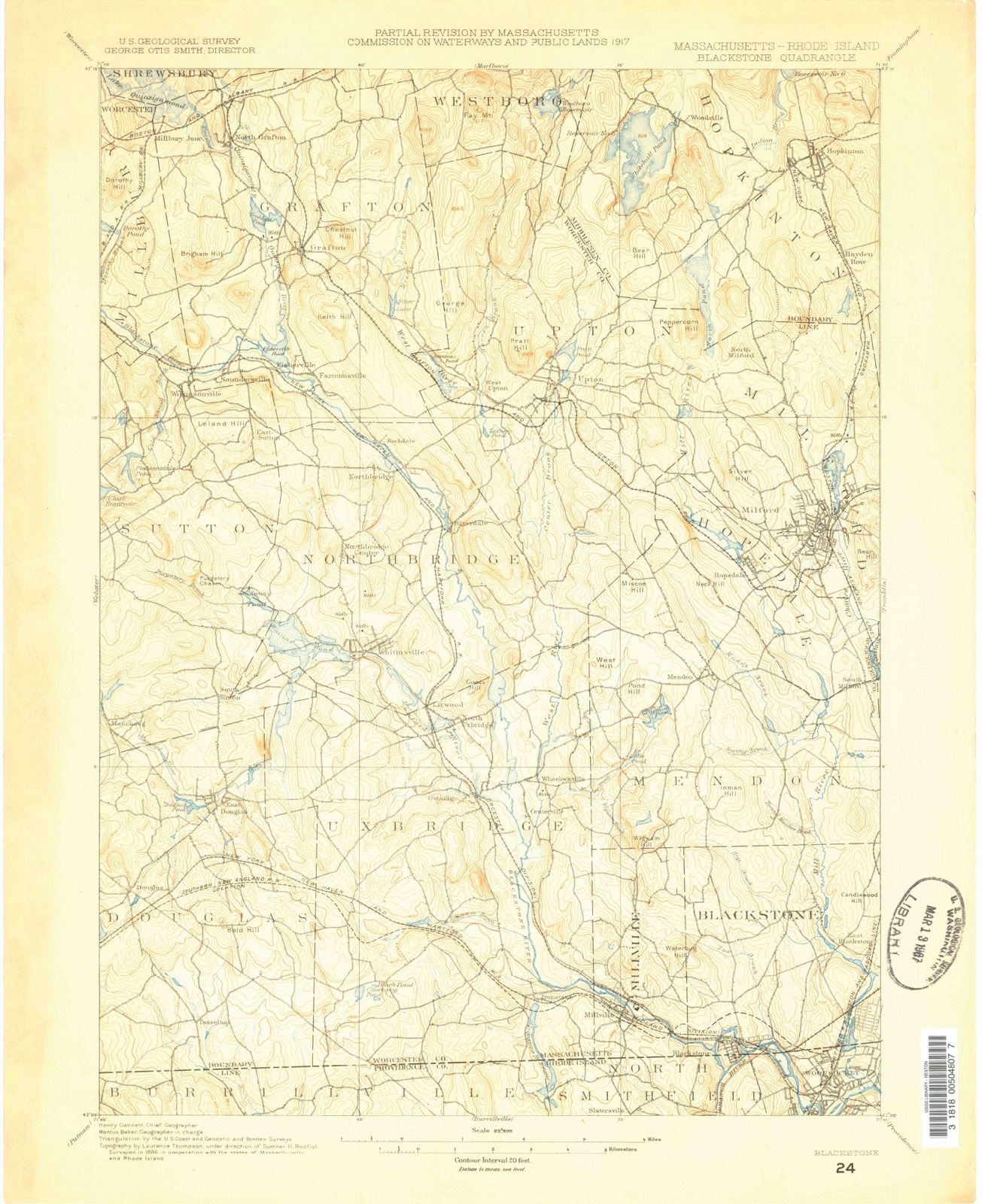
50 topographic sheets cover this place, the earliest surveyed in 1886 and the latest in 1989. It stands in Uxbridge town. It lies in ZIP code area 01569. It stands on Bacon Brook. The Survey maps it on the Blackstone quadrangle.
Then and now
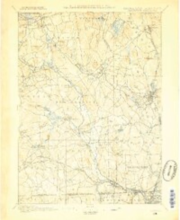
1886 to 1989The same ground, surveyed 103 years apart. Drag the handle to wipe between them. Both sheets are United States Geological Survey originals; neither has been altered.
On record in Ironstone
Buildings and businesses the archive holds for this place. Each opens its own page, with the source record it came from.
On the National Register within a mile 5 records
The National Register names another town for these. They stand within one mile of this settlement's coordinate.
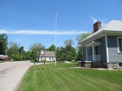 Ironstone Mill Housing and Cellar Holelisted 1983 · 0.1 miles away
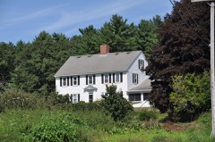 Dexter Richardson Houselisted 1983 · 0.3 miles away
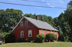 J. Kensely Houselisted 1983 · 0.7 miles away
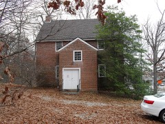 Friends Meetinghouselisted 1974 · 0.9 miles away
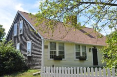 A. E. Cook Houselisted 1983 · 1.0 miles away
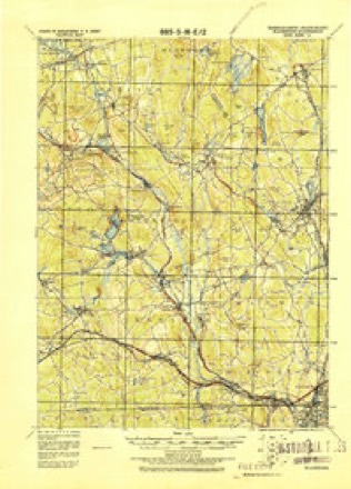
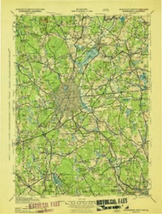
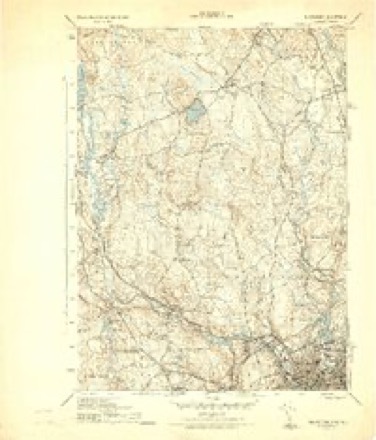
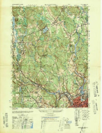
Topographic sheets covering this place
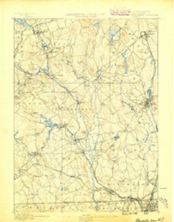
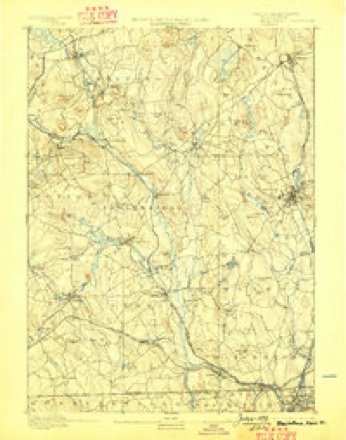
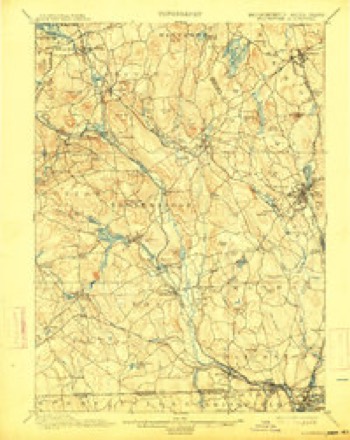
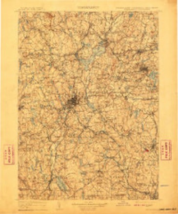
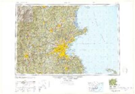
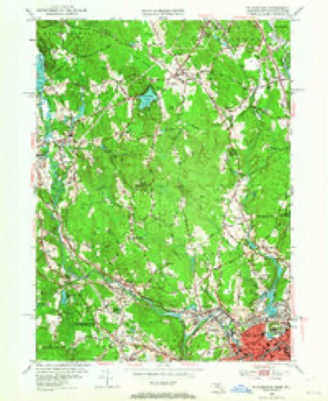
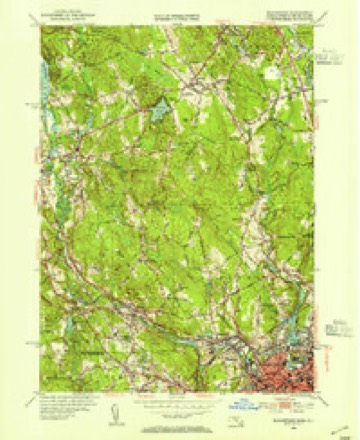
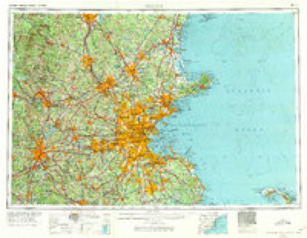
21 surveys from 50 printed sheetsMatched by testing this settlement's coordinate against the published boundary of every sheet in the United States Geological Survey's historical collection. Each opens the scanned sheet at the Survey.
- 1886 USGS Blackstone quadrangle1:62500
- 1889 USGS Blackstone quadrangle1:62500
- 1893 USGS Blackstone quadrangle1:62500, 2 printings
- 1900 USGS Blackstone quadrangle1:62500, 7 printings
- 1908 USGS Quinsigamond quadrangle1:125000, 3 printings
- 1919 USGS Blackstone quadrangle1:62500, 2 printings
- 1943 USGS Quinsigamond quadrangle1:125000
- 1944 USGS Blackstone quadrangle1:31680, 5 printings
- 1948 USGS Blackstone quadrangle1:25000
- 1948 USGS Boston quadrangle1:250000, 2 printings
- 1953 USGS Blackstone quadrangle1:24000, 2 printings
- 1953 USGS Blackstone quadrangle1:31680, 2 printings
- 1956 USGS Boston quadrangle1:250000, 6 printings
- 1958 USGS Boston quadrangle1:250000, 2 printings
- 1961 USGS Boston quadrangle1:250000, 2 printings
- 1969 USGS Blackstone quadrangle1:24000, 4 printings
- 1969 USGS Blackstone quadrangle1:25000, 2 printings
- 1977 USGS Blackstone quadrangle1:25000
- 1982 USGS Uxbridge quadrangle1:25000
- 1985 USGS Boston quadrangle1:100000
- 1989 USGS Boston quadrangle1:100000, 2 printings
In the county-history sources
13,661 words on this townshipHistory of Worcester County, Massachusetts, published 1889 names this settlement in its chapter on Uxbridge Town. These are the passages that mention it, exactly as the scans read.
The Ironstone Brook, formerly called " Forge Brook," and so designated in the early records of the town, rises in the extreme southwesterly part of the town, near the Rhode Island line ; forms the Ironstone Pond; thence flows under the New York and New England Railroad into the village of Ironstone; and thence about a mile easterly to the Blackstone River. It was very early used for furnishing power for various mechanical enterprises, a dam and forge having been erected upon it nearly one hundred and fifty years ago by Benjamin Taft, one of the original settlers in the town.
Passage source: History of Worcester County, Massachusetts, published 1889.
Wheelock's village (formerly called " Crackerville," probably on account of crackers being too prominent aa article of diet, on some remote occasion) is the next in size. It is one of the prettiest, best-conditioned villages iu the town, and its inhabitants are justly proud of it, and of the public-spirited gentlemen whose kindly interest in their welfare has made their homes and surroundings so pleasant. Elmdale (formerly Squaw Hollow), one of the oldest villages in the town, situated about half a mile easterly of the Hecla village, is the home of the proprietor and employes of Scott's Satinet Mills. Ironstone (at the south part of the town, three miles from the centre. on Forge Brook) was once the largest village in Uxbridge. In the early history of the town it was famous for the first mechanical business, established over one hundred and fifty years ago. For many years a large business was done there, and it was a post-station and general trading-place for the surrounding country. Ironstone Factory was built in 1815, by a stock company, and was burned in 1832. Subsequently rebuilt, it was operated with varying success by different parties till 1865, when it was again burned, and the projserty and the village have fallen into ruin.
Passage source: History of Worcester County, Massachusetts, published 1889.
small quantities, while quartz, beryl and smoky topaz in crystals are frequently found. Vast quarries of gneissoid granite furni.'~h material for buildings, curbing, monuments and general cemetery work. It is of excellent quality and fineness, and capable of taking a high polish, some of it being in color and quality nearly equal to the imported Scotch granite. The Uxbridge Silver Mine, located in the southwest part of the town, on land now owned by C. R. Thomson and others (formerly the Chileon Tucker farm), was opened about fifty years ago, and for awhile g.ave promise of considerable richness. But after sinking two shafts to a depth of nearly fifty feet, and working a cross-cut on the vein, it was found that the vein, instead of increasing in width, as was hoped and expected, was, if anything, even smaller than at the surface - about three-fourths of an inch of metal, in a hard, refractory gangue of quartzite. The metallic vein was a true galena, carrying a good per cent, of silver, but the immense expense attending its excavation, reduction and purification requiring, in the language of the day, " a gold mine to work the silver mine," caused a suspension of all work, and for about fifty years not a dollar's worth of ore has been taken from the mine. Its shafts are filled with water, and abandoned to the nymphs of the thick woods, whose spreading branches hide the place where fond hopes much expense and bitter disappointment lie buried. There are several small beds of liuionite, or bog ore, and at the south part of the town, near Ironstone, the dark-colored rocks, which there abound, contain considerable quantities of specular iron, so that the stone is called " ironstone," and the village takes its name, " Ironstone," from that fact.
Passage source: History of Worcester County, Massachusetts, published 1889.
Machine-read from a century-old scan, so expect the errors a machine makes: misspelled names, dropped words, stray characters.
Read the whole chapter on Uxbridge Town - it names this place 3 more 3 times.
Fires near this place
98 since 2002Regional context, not property-specific evidence. The federal wildfire occurrence database lists 98 fires within 5 miles of Ironstone between 2002 and 2020, burning about 74 acres in total. None started naturally. 13 were recorded as arson. Distance is straight-line from the map coordinates, so a fire counted here may appear on a neighbouring settlement's page as well.
| Reported cause | Fires |
|---|---|
| Missing data/not specified/undetermined | 31 |
| Debris and open burning | 26 |
| Arson/incendiarism | 13 |
| Recreation and ceremony | 12 |
| Smoking | 11 |
| Railroad operations and maintenance | 3 |
| Other causes | 1 |
| Equipment and vehicle use | 1 |
The most recent of them, most recent first, with the day each was reported and the service that recorded it.
| Date | Cause | Size | Reported by | Name on the report |
|---|---|---|---|---|
| 9 September 2009 | Recreation and ceremony | under an acre | Rhode Island Division of Forest Environment | not named |
| 8 September 2018 | Debris and open burning | under an acre | Massachusetts Bureau of Forest Fire Control | not named |
| 8 September 2018 | Debris and open burning | under an acre | Massachusetts Bureau of Forest Fire Control | not named |
| 8 September 2018 | Debris and open burning | under an acre | Massachusetts Bureau of Forest Fire Control | not named |
| 3 September 2018 | Debris and open burning | under an acre | Massachusetts Bureau of Forest Fire Control | not named |
| 29 September 2002 | Recreation and ceremony | under an acre | Massachussetts State Fire Marshal's Office | not named |
| 27 September 2015 | Missing data/not specified/undetermined | under an acre | Rhode Island Division of Forest Environment | not named |
| 27 September 2002 | Missing data/not specified/undetermined | 1.0 acres | Massachussetts State Fire Marshal's Office | not named |
Settlements close enough to share some of these fires:
Specimens collected near this place
12 of 333 shownRegional context, not property-specific evidence. Museums hold 333 specimens collected within 10 miles of Ironstone between 1844 and 1974: 166 Plantae, 127 Animalia, 26 Fungi, 9 Protozoa, 3 Unrecorded, 2 Chromista. 12 distinct Species records are shown. Collected by A. B. Seymour, A. R. Hodgdon; F. L. Steele, A. R. Hodgdon; F. L. Steele and others. Each is a physical object with a catalogue number, and each entry opens the museum's record. This is what was collected and kept, not a survey of what lives here - nothing can be concluded from a species being absent.
| Image | Species | Year | Collected by | Where, as recorded |
|---|---|---|---|---|
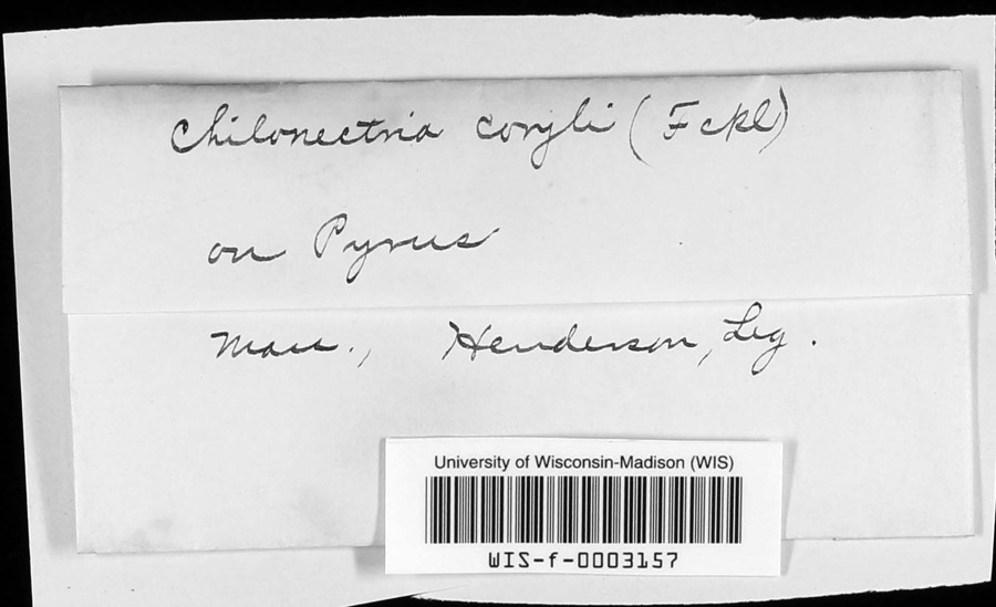 | Chilonectria coryli (Fuckel) Ellis & Everh. | 1896 | Henderson | |
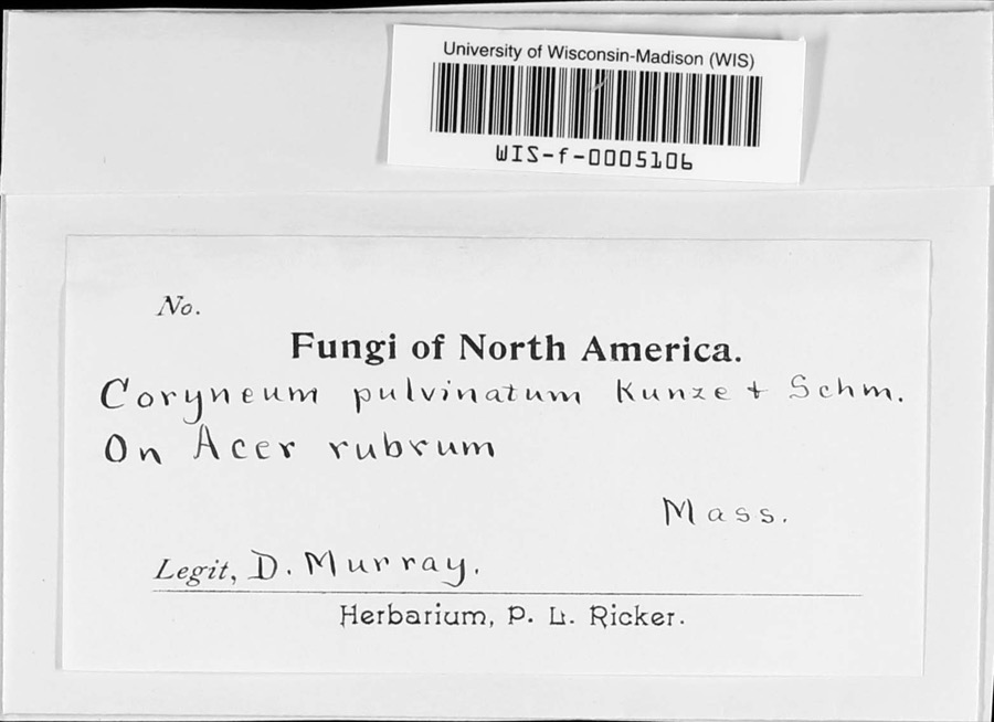 | Coryneum pulvinatum Kunze | 1897 | D. Murray | |
 | Trichophorum planifolium (Spreng.) Palla | 1844 | Collector unspecified | Uxbridge |
 | Carex vesicaria L. | 1848 | J. W. Robbins | |
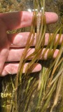 | Potamogeton epihydrus Raf. | 1848 | J. W. Robbins | Uxbridge |
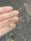 | Potamogeton bicupulatus Fernald | 1854 | W. J. Robbins | Uxbridge |
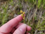 | Carex brevior (Dewey) Mack. | 1855 | J. W. Robbins | |
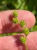 | Carex normalis Mack. | 1855 | J. W. Robbins | |
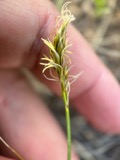 | Carex siccata Dewey | 1855 | J. W. Robbins | |
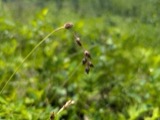 | Carex straminea Willd. ex Schkuhr | 1855 | J. W. Robbins | |
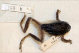 | Hyla versicolor LeConte, 1825 | 1857 | Weinland, David Friedrich | |
| Sterna hirundo hirundo Linnaeus, 1758 | 1892 | Babbitt, J P | Massachusetts |
All 333 specimens within 10 miles, at the Global Biodiversity Information Facility.
Mines and quarries near this place
10 of 21 shownRegional context, not property-specific evidence. The federal mineral resources record lists 21 workings within 5 miles of Ironstone: 14 past producers, 5 producers, 1 unknown, 1 prospect. 5 still produce. What was taken out: Sand and Gravel, Construction, Granite, Lead, Zinc. Distance is straight-line from the map coordinates, so a quarry counted here may appear on a neighbouring settlement's page as well.
| Where | Site | Commodity | Status | Recorded |
|---|---|---|---|---|
| Uxbridge Prospect | Lead, Zinc | Prospect | ||
| Quarries | Granite | Past Producer | ||
| Quarry | Granite | Past Producer | ||
| C Pezza and Son Inc | Sand and Gravel, Construction | Past Producer | Sedimentary | |
| Helca Pit | Sand and Gravel, Construction | Past Producer | ||
| Holliston Sand Company | Sand and Gravel, Construction | Past Producer | Sedimentary | |
| Holliston Sand Plant Number 2 | Sand and Gravel, Construction | Producer | ||
| Oliveira Pit | Sand and Gravel, Construction | Past Producer | ||
| Pezza Pit | Sand and Gravel, Construction | Past Producer | ||
| R A Bergesson and Sons | Sand and Gravel, Construction | Past Producer | Sedimentary |
Nearest settlements
The eight closest, with where each one stands in the county. Distances are straight-line, computed from the Geographic Names Information System coordinates.
| Map | Place | Distance | Sheets |
|---|---|---|---|
| Millville | 1.6 miles | 50 | |
| Chestnut Hill Meeting House | 2.1 miles | 50 | |
| Centerville | 3.1 miles | 50 | |
| Uxbridge | 3.5 miles | 46 | |
| Wheelockville | 3.6 miles | 50 | |
| Blackstone | 3.8 miles | 50 | |
| Halfway House | 3.9 miles | 46 | |
| North Uxbridge | 4.4 miles | 46 |
Provenance
This settlement is recorded in the Geographic Names Information System as feature 611544. The sheet list is computed by point-in-boundary test against the United States Geological Survey's historical topographic inventory. Both are works of the United States government and carry no copyright under 17 U.S.C. 105.
Wildfire. Short, Karen C. 2022. Spatial wildfire occurrence data for the United States, 1992-2020 [FPA_FOD_20221014]. 6th Edition. Fort Collins, CO: Forest Service Research Data Archive. https://doi.org/10.2737/RDS-2013-0009.6 Collected with United States Government funding and usable without additional permissions or fees.
Specimens. Global Biodiversity Information Facility (GBIF), https://www.gbif.org/. Only records licensed CC0 or CC BY are used. Records licensed CC BY-NC are excluded because this site carries advertising. Images are checked individually and any whose licence is non-commercial, no-derivatives or unreadable is refused.
Mines and quarries. USGS Mineral Resources Data System (MRDS) https://mrdata.usgs.gov/mrds/ A work of the United States government, no copyright under 17 U.S.C. 105.