 Block
Block
Edenville, Ohio
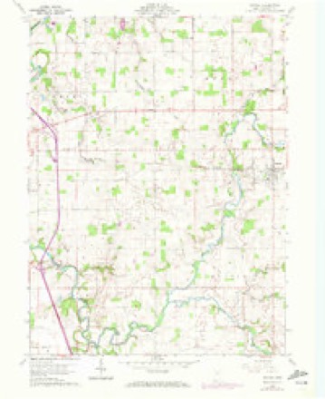
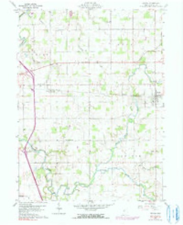
12 topographic sheets cover this place, the earliest surveyed in 1906 and the latest in 1986. It stands in Eden Township. It lies in ZIP code area 44849. It stands on Indian Run. The Survey maps it on the Nevada quadrangle.
Then and now
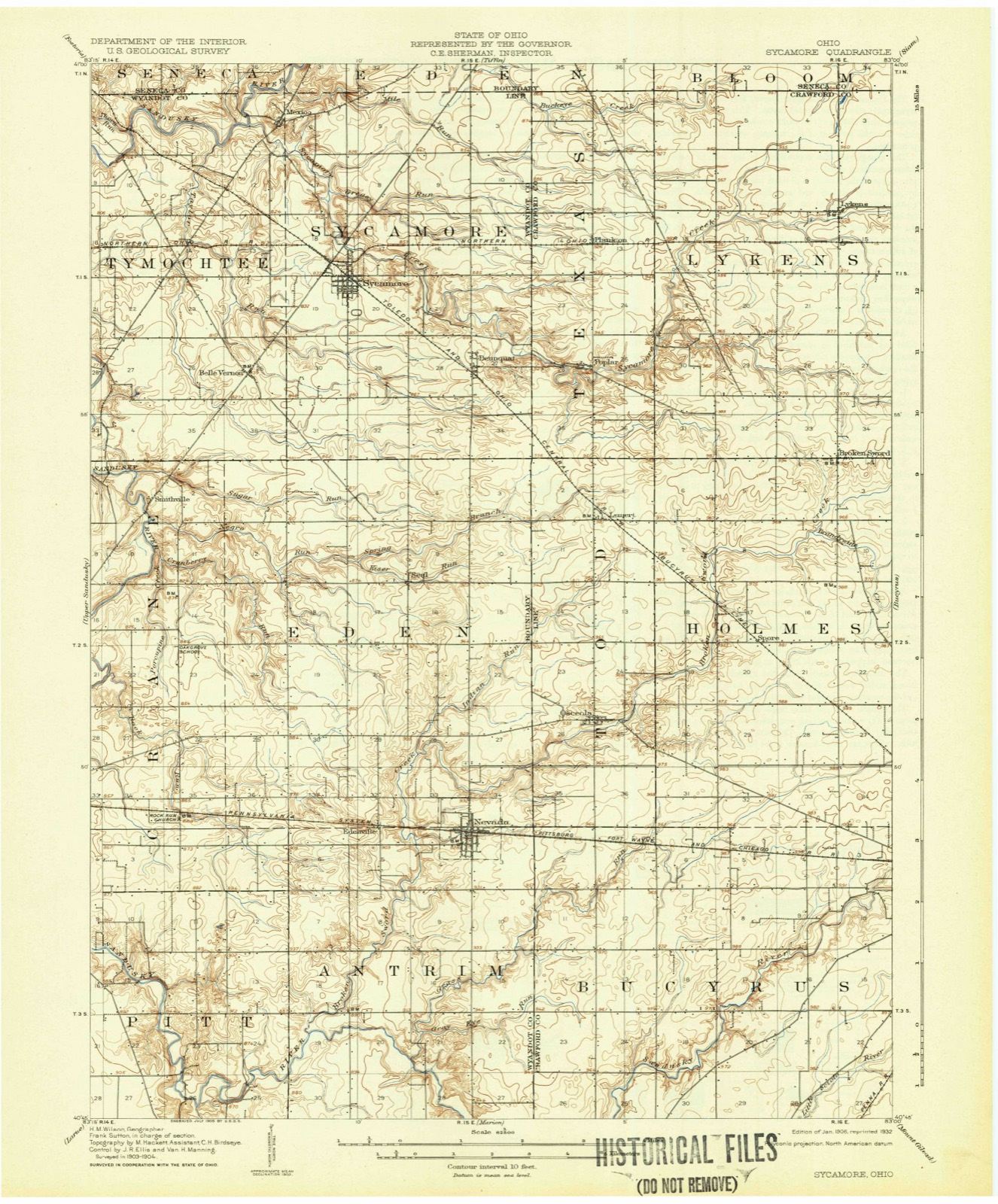
1906 to 1986The same ground, surveyed 80 years apart. Drag the handle to wipe between them. Both sheets are United States Geological Survey originals; neither has been altered.

Topographic sheets covering this place
12 sheetsMatched by testing this settlement's coordinate against the published boundary of every sheet in the United States Geological Survey's historical collection. Each opens the scanned sheet at the Survey.
- 1906 USGS Sycamore quadrangle1:62500
- 1950 USGS Marion quadrangle1:250000
- 1960 USGS Nevada quadrangle1:24000
- 1960 USGS Nevada quadrangle1:24000
- 1960 USGS Nevada quadrangle1:24000
- 1960 USGS Nevada quadrangle1:24000
- 1962 USGS Marion quadrangle1:250000
- 1966 USGS Marion quadrangle1:250000
- 1966 USGS Marion quadrangle1:250000
- 1966 USGS Marion quadrangle1:250000
- 1986 USGS Marion quadrangle1:100000
- 1986 USGS Marion quadrangle1:100000







In the county-history sources
13,914 words on this townshipThe History of Wyandot County, Ohio, Containing a History of the County: Its Townships, Towns, Churches, Schools, Etc.;, published 1884 names this settlement in its chapter on Eden Township. These are the passages that mention it, exactly as the scans read.
The first road regularly laid out in the township extended through Sections 34 and 27, and was opened in 1839, though prior to this the Indian trails and " blazed tracks " were, no doubt, quite numerous and considerably used. The Oceola road from Indian Run to Rock Run was opened by the Wyandot Indians, under the supervision of Isaac Miller, who at this date resides in Antrim Township. Some of these earlier roads or " trails " led to the Indian resorts, one of which was the locality of the springs, which were supposed to be medicinal in their qualities, located in Section 22, and two others on the farms now owned by Henry and Samuel Aten on the Oceola State Road. On the farm now owned by Tilman Balliet, an Indian burying ground is located, and here from the healing fountains, they repaired to chant the death songs over their stricken dead. Orchards were planted, and among these, as well as in other places, they have left their records in the implements of war and the chase, stone hatchets, spear heads and arrow heads, and besides these the crude domestic utensils, such as the mortar and pestle by which they ground the corn that served to make their bread or thicken their skunk and 'possum broth. For the greater part of their supplies the earlier settlers of this township, as well as of other townships went to Sandusky City and Fremont, and up to date Eden Township cannot claim the honors of a grist mill. In 1849, the first saw mill was erected by Crawford & Lance, and seven mills are now in operation in the township - one owned by Samuel Bever at Nevada; one by Turney & Yohe, Edenville; one by Joseph Paulin, Little York; a fourth by John Kreechbaum on Section 6; a fifth by James Spangler, Eden Center; another by Marti en Brothers, Section 25, and the seventh by Conger & Co., at the Fish Fond, Section 15. The mercantile interests of Eden were somewhat thwarted by the establishment of a store in the village of Wyandot in an early day, and later by the sudden appearance and growth of Nevada (which, however, is partially situated in this township), after the construction of the Pittsburgh, Fort Wayne & Chicago Railroad. There are at present, however, two stores in the township outside of the villages, one situated on Section 20, conducted by Conrad Haas; the other on Section 17, conducted by Daniel T. Warner. The first store was kept by William Jobs on Section 9. The first dwelling log cabin, 14x18, by Congress Miller.
Passage source: The History of Wyandot County, Ohio, Containing a History of the County: Its Townships, Towns, Churches, Schools, Etc.;, published 1884.
Machine-read from a century-old scan, so expect the errors a machine makes: misspelled names, dropped words, stray characters.
Read the whole chapter on Eden Township - it names this place 1 more 1 time.
Specimens collected near this place
12 of 228 shownRegional context, not property-specific evidence. Museums hold 228 specimens collected within 10 miles of Edenville between 1885 and 1975: 214 Animalia, 13 Fungi, 1 Plantae. 12 distinct Species records are shown. Collected by Acker, G., Allen, J. M., Blyth & Katz and others. Each is a physical object with a catalogue number, and each entry opens the museum's record. This is what was collected and kept, not a survey of what lives here - nothing can be concluded from a species being absent.
| Image | Species | Year | Collected by | Where, as recorded |
|---|---|---|---|---|
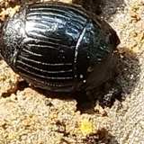 | Hister abbreviatus Fabricius, 1775 | 1885 | not recorded | Crane |
 | Margarinotus faedatus (J.E.LeConte, 1845) | 1885 | not recorded | Crane |
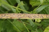 | Phyllachora graminis (Pers.) Fuckel | 1900 | Bonser Thos. | Wyandot Co. |
| Phyllachora vulgata Theiss. & Syd. | 1900 | Thos. Bouser | Big Spring Prairie | |
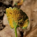 | Puccinia eatoniae Arthur | 1901 | Bouser Thomas? | Wyandot Co. |
| Puccinia fusca Wallr. | 1901 | Bouser Thomas | Wyandot Co. | |
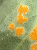 | Puccinia podophylli Schwein. | 1901 | Bowser Thomas | Wyandot Co. |
| Uncinula macrospora Peck | 1901 | T. A. Bonser | ||
 | Alasmidonta marginata Say, 1818 | 1915 | Goodrich, Calvin | Upper Sandusky |
 | Alasmidonta viridis (Rafinesque, 1820) | 1915 | Goodrich, Calvin | Upper Sandusky |
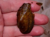 | Cambarunio iris (I.Lea, 1829) | 1915 | Goodrich, Calvin | Upper Sandusky |
 | Fusconaia flava (Rafinesque, 1820) | 1915 | Goodrich, Calvin | Upper Sandusky |
All 228 specimens within 10 miles, at the Global Biodiversity Information Facility.
Mines and quarries near this place
4 within 5 milesRegional context, not property-specific evidence. The federal mineral resources record lists 4 workings within 5 miles of Edenville: 2 producers, 2 past producers. 2 still produce. What was taken out: Stone, Crushed/Broken, Sand and Gravel, Construction. Distance is straight-line from the map coordinates, so a quarry counted here may appear on a neighbouring settlement's page as well.
| Where | Site | Commodity | Status | Recorded |
|---|---|---|---|---|
| H and M Sand & Gravel Pit | Sand and Gravel, Construction | Producer | ||
| Kuenzli Quarry | Stone, Crushed/Broken | Past Producer | ||
| Mccarthy Stone Quarry | Stone, Crushed/Broken | Producer | ||
| Wilson Pit | Sand and Gravel, Construction | Past Producer |
Storms near this place
1 since 2020Regional context, not property-specific evidence. The National Weather Service names Edenville in 1 storm report between 2020 and 2020: 1 thunderstorm wind. No death or injury is recorded in these reports. Each account below is quoted exactly as the forecast office filed it, from the NOAA Storm Events Database, and each date opens the federal record of that event.
| When | Event | Place named | Harm | What the report says |
|---|---|---|---|---|
| June 2020 | Thunderstorm Wind | Edenville | $100 | Wyandot County Sheriff Dispatch reported a tree down on County Road 330 near County Road 81. |
Nearest settlements
The eight closest, with where each one stands in the county. Distances are straight-line, computed from the Geographic Names Information System coordinates.
| Map | Place | Distance | Sheets |
|---|---|---|---|
| Nevada | 1.5 miles | 12 | |
| Douglass (historical) | 3.3 miles | 12 | |
| Seal | 4.0 miles | 11 | |
| Mononcue | 5.8 miles | 10 | |
| Little Sandusky | 6.3 miles | 12 | |
| Wyandot | 6.5 miles | 11 | |
| Upper Sandusky | 6.5 miles | 10 | |
| Smithville | 6.5 miles | 11 |
Provenance
This settlement is recorded in the Geographic Names Information System as feature 1056269. The sheet list is computed by point-in-boundary test against the United States Geological Survey's historical topographic inventory. Both are works of the United States government and carry no copyright under 17 U.S.C. 105.
Specimens. Global Biodiversity Information Facility (GBIF), https://www.gbif.org/. Only records licensed CC0 or CC BY are used. Records licensed CC BY-NC are excluded because this site carries advertising. Images are checked individually and any whose licence is non-commercial, no-derivatives or unreadable is refused.
Mines and quarries. USGS Mineral Resources Data System (MRDS) https://mrdata.usgs.gov/mrds/ A work of the United States government, no copyright under 17 U.S.C. 105.
Storms. NOAA National Centers for Environmental Information, Storm Events Database https://www.ncei.noaa.gov/stormevents/ A work of the United States government, no copyright under 17 U.S.C. 105. Narratives are quoted verbatim from the National Weather Service report and are not edited or summarised.