 Block
Block
Wyandot, Ohio
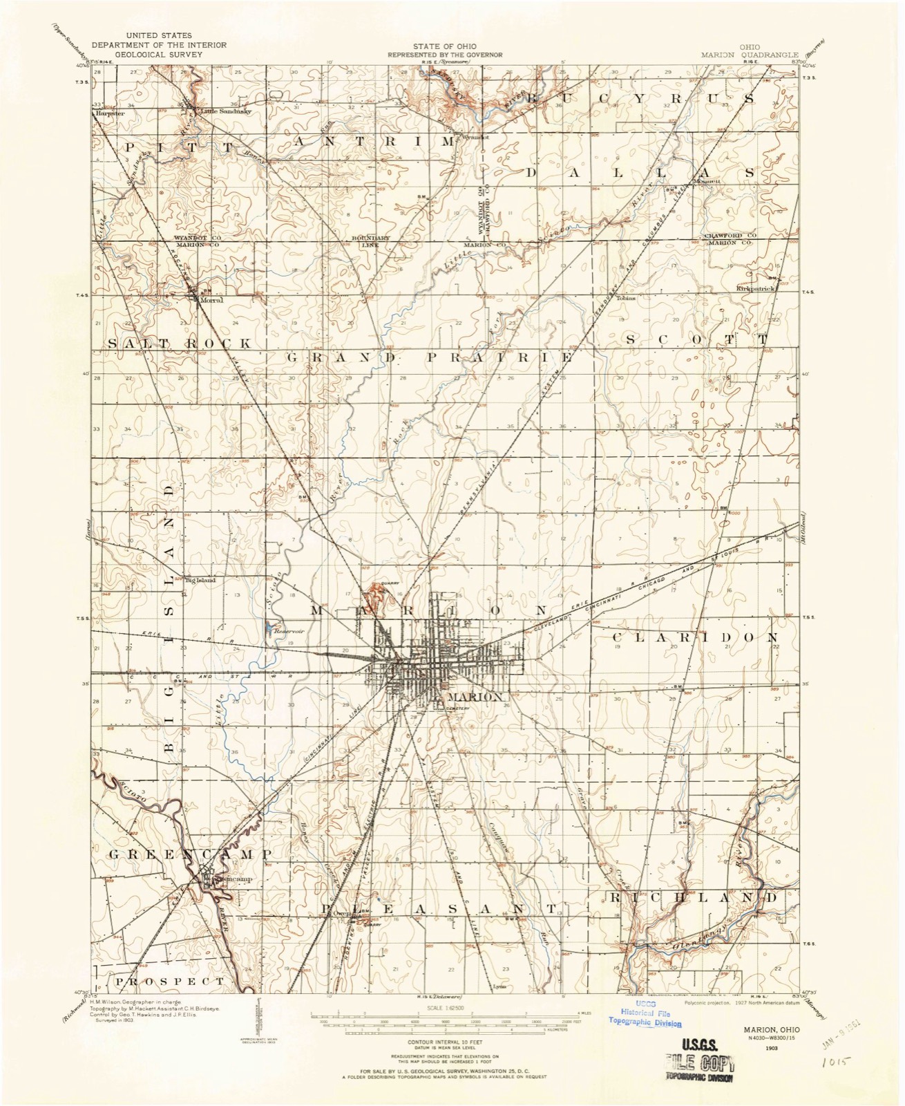
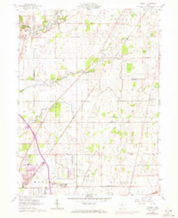
11 topographic sheets cover this place, the earliest surveyed in 1903 and the latest in 1986. It stands in Antrim Township. It lies in ZIP code area 44849. The Survey maps it on the Monnett quadrangle.
Then and now
1903 to 1986The same ground, surveyed 83 years apart. Drag the handle to wipe between them. Both sheets are United States Geological Survey originals; neither has been altered.

Topographic sheets covering this place
11 sheetsMatched by testing this settlement's coordinate against the published boundary of every sheet in the United States Geological Survey's historical collection. Each opens the scanned sheet at the Survey.
- 1903 USGS Marion quadrangle1:62500
- 1905 USGS Marion quadrangle1:62500
- 1950 USGS Marion quadrangle1:250000
- 1961 USGS Monnett quadrangle1:24000
- 1961 USGS Monnett quadrangle1:24000
- 1962 USGS Marion quadrangle1:250000
- 1966 USGS Marion quadrangle1:250000
- 1966 USGS Marion quadrangle1:250000
- 1966 USGS Marion quadrangle1:250000
- 1986 USGS Marion quadrangle1:100000
- 1986 USGS Marion quadrangle1:100000







In the county-history sources
80,841 words on this townshipThe History of Wyandot County, Ohio, Containing a History of the County: Its Townships, Towns, Churches, Schools, Etc.;, published 1884 names this settlement in its chapter on Antrim Township. These are the passages that mention it, exactly as the scans read.
PRIOR to 1845, the territory now comprised in Antrim Township was included in the counties of Marion and Crawford. At the organization of this county it assumed its present boundaries - the east and south by Crawford and Marion Counties respectively, the west by Pitt and Crane Townships, and the north by Eden Township. Sections 3 to 10 inclusive of the southern part of this township was detached from Grand Prairie, of Marion County, these divisions comprising a tract two miles wide, extending entirely across the township. The old Reservation line extends east through the northern part of Sections 31, 32 and 33, to a point near the center of the northwest quarter of Section 34, from which it extends directly north through Sections 27, 22, 15, 10 and 3 respectively.
Passage source: The History of Wyandot County, Ohio, Containing a History of the County: Its Townships, Towns, Churches, Schools, Etc.;, published 1884.
Zachariah Welsh came to this county in 1821, and settled in Wyandot Village. He died in 1849; his wife'b demise occurred in 1857. Edmund R. , his son, was born in Chillicothe, Ohio, in 1810. He came to this county with his parents and died January 29, 1880, in Nevada, to which place he removed in 1865. He came from Fairfield County.
Passage source: The History of Wyandot County, Ohio, Containing a History of the County: Its Townships, Towns, Churches, Schools, Etc.;, published 1884.
In 1820, Col. M. H. Kirby entered 640 acres where Wyandot now is situated. He made additions to this till he owned L200 acres, on which he moved from Columbus in 1839, remaining till 1843, when he was appointed Receiver of the Northwestern Land Office. Ttiese were the principal settlers up to the date last mentioned, and, in fact, to the date of the organization of the county, 1845, after which time settlements were rapidly made.
Passage source: The History of Wyandot County, Ohio, Containing a History of the County: Its Townships, Towns, Churches, Schools, Etc.;, published 1884.
Machine-read from a century-old scan, so expect the errors a machine makes: misspelled names, dropped words, stray characters.
Read the whole chapter on Antrim Township - it names this place 51 more 51 times.
Photographs
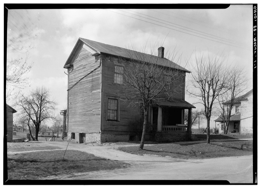
1 photograph,Taken for the Office of War Information and the Farm Security Administration, who photographed the country between 1935 and 1944. Works of United States government photographers, with no known restriction on use. Each opens its catalogue record.
Unattributed, . Library of Congress
Specimens collected near this place
12 of 59 shownRegional context, not property-specific evidence. Museums hold 59 specimens collected within 10 miles of Wyandot between 1915 and 1973: 58 Animalia, 1 Plantae. 12 distinct Species records are shown. Collected by Acker, G., D.C. Eades, Goodrich, Calvin and others. Each is a physical object with a catalogue number, and each entry opens the museum's record. This is what was collected and kept, not a survey of what lives here - nothing can be concluded from a species being absent.
| Image | Species | Year | Collected by | Where, as recorded |
|---|---|---|---|---|
 | Alasmidonta marginata Say, 1818 | 1915 | Goodrich, Calvin | Upper Sandusky |
 | Alasmidonta viridis (Rafinesque, 1820) | 1915 | Goodrich, Calvin | Upper Sandusky |
 | Cambarunio iris (I.Lea, 1829) | 1915 | Goodrich, Calvin | Upper Sandusky |
 | Fusconaia flava (Rafinesque, 1820) | 1915 | Goodrich, Calvin | Upper Sandusky |
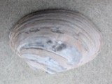 | Lampsilis cardium Rafinesque, 1820 | 1915 | Goodrich, Calvin | Upper Sandusky |
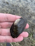 | Lasmigona costata (Rafinesque, 1820) | 1915 | Goodrich, Calvin | Upper Sandusky |
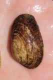 | Paetulunio fabalis (I.Lea, 1831) | 1915 | Goodrich, Calvin | Upper Sandusky |
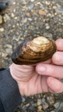 | Strophitus undulatus (Say, 1817) | 1915 | Goodrich, Calvin | Upper Sandusky |
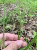 | Carex typhina Michx. | 1924 | Moseley, E.L. | Nevada |
 | Campostoma anomalum anomalum | 1929 | Trautman, M. B. (Milton Bernard) & Foster, R. (Robert) | Little Sandusky River, near town of Little Sandusky, ~2.8 mi E of Harpster, Pitt township |
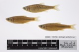 | Notropis spilopterus (Cope, 1867) | 1929 | Trautman, M. B. (Milton Bernard) & Foster, R. (Robert) | Little Sandusky River, near town of Little Sandusky, ~2.8 mi E of Harpster, Pitt township |
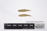 | Notropis umbratilis (Girard, 1856) | 1929 | Trautman, M. B. (Milton Bernard) & Foster, R. (Robert) | Little Sandusky River, near town of Little Sandusky, ~2.8 mi E of Harpster, Pitt township |
All 59 specimens within 10 miles, at the Global Biodiversity Information Facility.
Nearest settlements
The eight closest, with where each one stands in the county. Distances are straight-line, computed from the Geographic Names Information System coordinates.
| Map | Place | Distance | Sheets |
|---|---|---|---|
| Little Sandusky | 5.1 miles | 12 | |
| Nevada | 6.1 miles | 12 | |
| Edenville | 6.5 miles | 12 | |
| Harpster | 7.1 miles | 11 | |
| Douglass (historical) | 8.3 miles | 12 | |
| Bowsherville (historical) | 9.2 miles | 11 | |
| Seal | 10.2 miles | 11 | |
| Mononcue | 10.3 miles | 10 |
Provenance
This settlement is recorded in the Geographic Names Information System as feature 1048162. The sheet list is computed by point-in-boundary test against the United States Geological Survey's historical topographic inventory. Both are works of the United States government and carry no copyright under 17 U.S.C. 105.
Specimens. Global Biodiversity Information Facility (GBIF), https://www.gbif.org/. Only records licensed CC0 or CC BY are used. Records licensed CC BY-NC are excluded because this site carries advertising. Images are checked individually and any whose licence is non-commercial, no-derivatives or unreadable is refused.