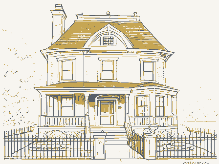
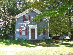
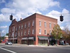
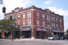
Listed on the National Register of Historic Places in
1975. A historic map-sheet match is not published yet. The record needs a coordinate-quality review before it can be joined to a sheet boundary.
From the record
“The first school was taught in a log-house on the land of Amasa Canfield in 1818, and the teacher was Miss Clarissa Loomis, of Charlestown. Her scholars were Juliette A,, Edwin A. and Harriet Eddy, children of Alanson Eddy; Henry, Julia, Harriet, Polly and Charles Canfield, children of Amasa Canfield.”
History of Portage County, Ohio (1885). Machine-read text.
one of 42 National Register listings in Portage County · listed in 1975 · category: Building.
National Register reference number.75001520- the number the National Park Service assigned this property when it was listed, and the key its nomination file is catalogued under at the National Archives.
The ground it stands on
15,190 words
The chapter on Edinburg Township in History of Portage County, Ohio, published 1885 names Edinburg. This is what it says, exactly as the scans read.
In February, 1815, Alanson and Justin Eddy started from their homes in "Williamstown, Mass., and came all the way through in sleighs, with their families. Alanson made the first settlement on the farm afterward occupied by C. H. Rowell, and Justin broke the fii-st ground and made the first clearing on the splendid farm now owned by Theodore Clark. Justin had been out the year previously with his father and made his selection. A young man, who drove one of the teams for the Eddys when they came in, afterward married and settled down, and in after years became an excellent citizen, owning a fine, highly cultivated farm, all the result of his own industry and perseverance. This was Russell Clark, who not only was a good driver, but an expert in handling an ax ; the first trees cut on many of the farms of Edinburg were laid low by his sturdy strokes. He used to point with pride to many a huge stump, as the result of his early labors.
Richard M. Hart, who was born May 9, 1795, and who still resides upon a portion of the land whereon he settled, was a nephew of Gen. William Hart, the original proprietor of Edinburg, and went to live with his uncle when he was six years old. The rich old uncle took a liking for the boy and provided well for him. giving him the entire northeast quarter of the township; so the young land-holder in May, 1817, came West to look up his possessions, and liking them so well, went back to Connecticut, maiTied his sweetheart, and in the spring of 1818 returned and settled down for a good long life, which he certainly has enjoyed. He first settled at Silver Creek, near the east line of the township, cleared eight acres and put it in wheat. At the Organization he was the first Treasurer, one of the Justices of the Peace and one of the Supervisors.
Regional context, not property-specific
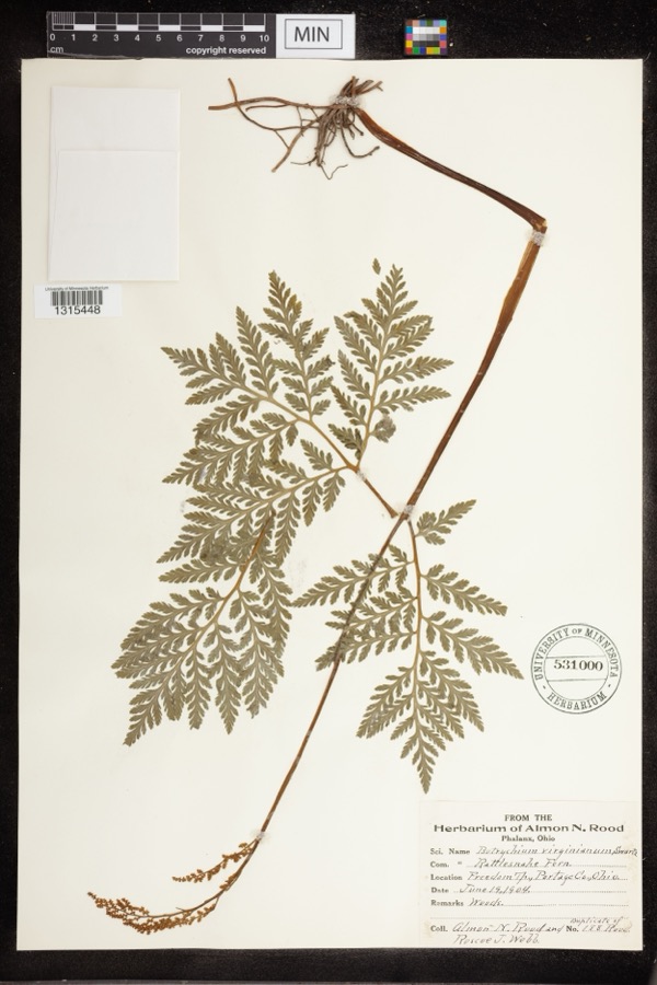
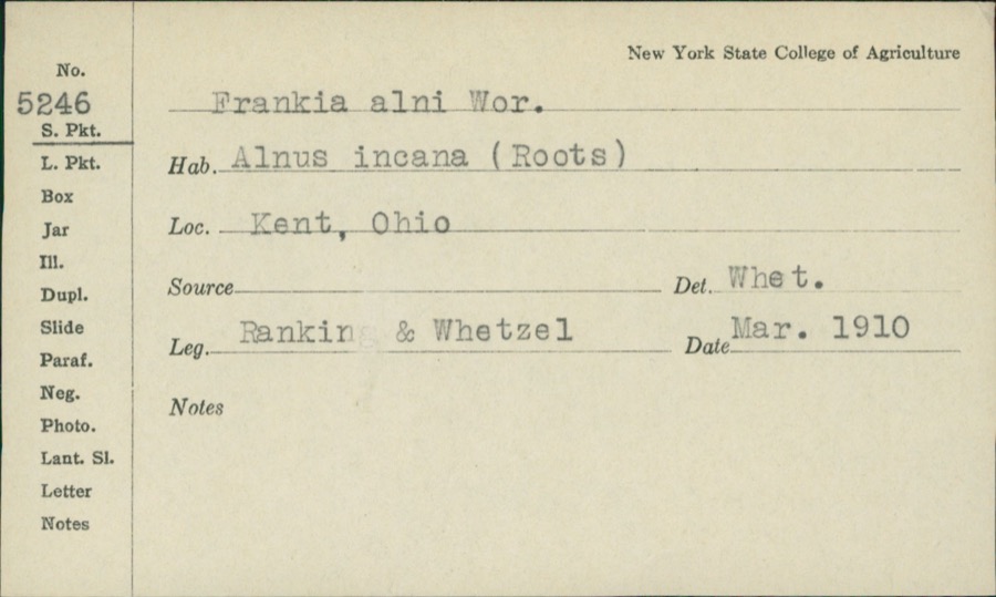
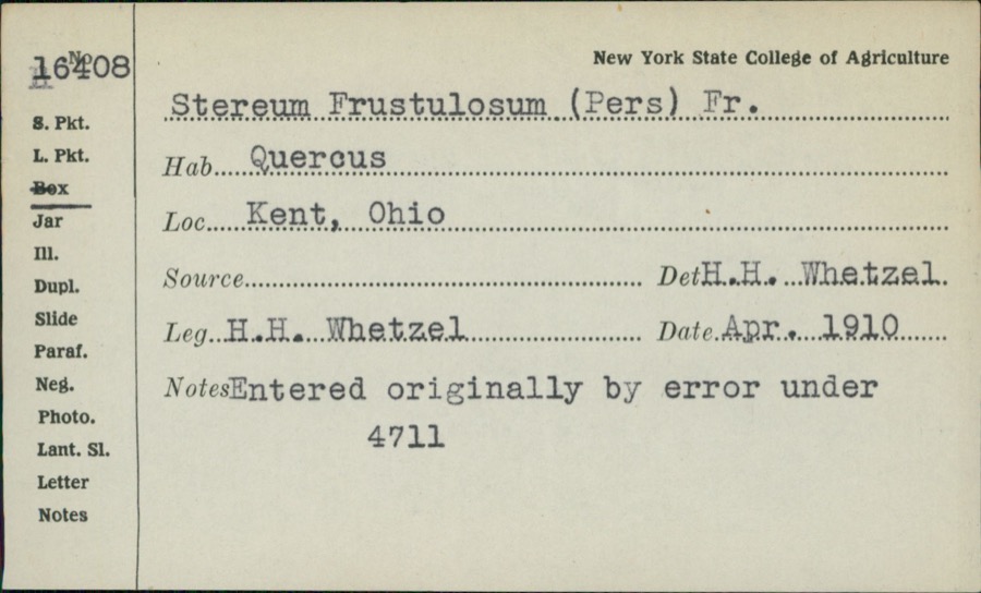
evidence. Museums hold 688 specimens
collected within 10 miles of Wadsworth, Frederick, House between 1880 and
1975: 416 Animalia, 229 Plantae, 37 Fungi, 4 Unrecorded, 1 Protozoa, 1 Bacteria. 12 distinct Species records are shown.
Collected by A. D. Huryn, A. F. Clewell, A. Woolman and others. Each is a
physical object with a catalogue
number, and each entry opens the museum's record. This is what was
collected and kept, not a survey of what lives here - nothing can be
concluded from a species being absent.
Regional context, not property-specific
evidence. The federal mineral resources record lists
2 workings within 5 miles of Wadsworth, Frederick, House: 1 past producer, 1 producer.
1 still produces. What was taken out: Sand and Gravel, Construction. Distance is straight-line from the
map coordinates, so a quarry counted here may appear on a neighbouring
settlement's page as well.
Regional context, not property-specific
evidence. The National Weather Service names
Edinburg, the town this property stands in, in 8 storm reports between 1994 and 2023: 4 hail, 4 thunderstorm wind.
No death or injury is recorded in these reports. Each account below is quoted exactly as the forecast office
filed it, from the NOAA Storm Events Database, and each date
opens the federal record of that event.
No historic map-sheet match is published
for this property yet. That does not mean no map exists. This record needs
a coordinate-quality review before it can be joined to a sheet boundary.
Browse the county's mapped places while that work is
pending.
From the nomination file
1,801 words on record
When this property was proposed for the
National Register, someone wrote the case for it: what the building is,
and why it matters. That document is a federal record in the public domain.
It is quoted below word for word, never summarised. The text was read off the scanned case file by machine, so the
occasional stray character is the recogniser's and the 1970s
typewriter's.
Description of the property
There was an earlier house on the site, and there is specul- There is a one-story porch across the north side of the wing. MAR 12 1975 CONDITION REGISTER NATIONAL have plain horizontal lintels and double-hung sash with nine lights have been well preserved by the present owners. RECEIVED facade has a center entrance with sidelights and a large semi- The interior has a central hall with a single-flight staircase of which five seem to have original mantelpieces.The interiors circular overdoor light.While not unknown, this is less common building. There is a simple gable roof with double end chimneys. chimney on the west end was added later. than the usual semi-elliptical lights of the period.The windows style, with a one-and-a-half story wing on the west end of the design and fine detail.
There are seven fireplaces in the house, The eaves are very simple with no classical detail.The five-bay over nine. ation whether the west wing is older, but it seems unlikely. wing, which was removed and the wall rebuilt, as clearly shows This is a rectangular two-story brick house in the late Adam house.The east parlor has an Adam mantelpiece of exquisite by the brickwork and the windows in the west wall.An external on the west side, and a rear entrance on the south side of the (Check One) There was a wooden frame section at the southwest corner.of the Excellent Fair Good 33H2 ATAO PERIOD (Check One or More as Appropriate) - Pre-Columbian!
X] 19th Century SPECIFIC DATE(S) (It Applicable and Known) - Urban Planning - Prehistoric Religion/Phi - Science - Sculpture X Social/Human- STATEMENT OF
Statement of significance
Edinburg Township, both because of the history of its builder, example of the late Adam style. high ground, a hill on which glacial furrows can be seen, and selected by Justin Eddy, who arrived with his brother Alanson from Williamstown, Massachusetts, in 1815. The name of the Its semi-circular overdoor light, the Adam mantelpieces and the 1824 Commerce Architecture Engineering Military Conservation Transportation Theater losophy Aboriginal Industry REGISTER Agriculture Communications SIGNIFICANCE Literature Music NATIONAL itarian township was originally Eddysburg and later modified to Edinburg. the prosperous orchards there for many years. tional in its locality.
Education fine state of preservation make the house architecturally excep- Political Frederick Wadsworth, and because it is such an excellent route for a canal from the Portage Summit to Pittsburgh.He was Invention manufacture of silk before failing. It is said that Wadsworth was forced to sell this house and elected as secretary.In September of 1825 he was appointed then active in the promotion of the Pennsylvania & Ohio Canal. The Wadsworth house is probably the most important in The house was built by Frederick Wadsworth around 1824.
Quoted from the National Register nomination
for reference 75001520, 11 pages, held by the National Archives in Record
Group 79. See the
catalogue record.
Listed places nearby
6 within 8 miles
Other National Register properties close
enough to walk or drive between, ordered by distance from this one. Both
positions come from the same geocoding pass that matched these properties
to their map sheets.
Listing record. National Park Service National Register of Historic Places, listed-properties dataset, current to 2026-05-22.
Map join. Address geocoded through the United States Census geocoder, then tested against the published boundary of every sheet in the USGS Historical Topographic Map Collection.
How this page is made. Listing fields come from federal records; map-sheet coverage is a labelled coordinate-to-boundary calculation, not a source-field claim.
Specimens. Global Biodiversity Information Facility (GBIF), https://www.gbif.org/. Only records licensed CC0 or CC BY are used. Records licensed CC BY-NC are excluded because this site carries advertising. Images are checked individually and any whose licence is non-commercial, no-derivatives or unreadable is refused.
Mines and quarries. USGS Mineral Resources Data System (MRDS) https://mrdata.usgs.gov/mrds/ A work of the United States government, no copyright under 17 U.S.C. 105.
Storms. NOAA National Centers for Environmental Information, Storm Events Database https://www.ncei.noaa.gov/stormevents/ A work of the United States government, no copyright under 17 U.S.C. 105. Narratives are quoted verbatim from the National Weather Service report and are not edited or summarised.
 Block
Block