 Block
Block
Enfield, Massachusetts
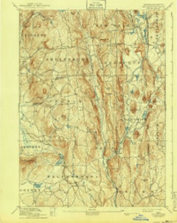
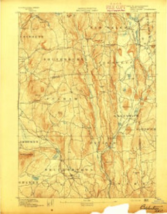
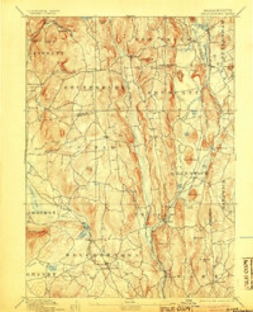
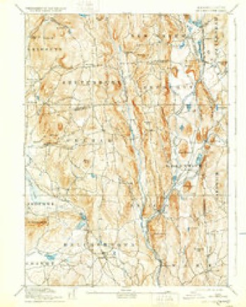
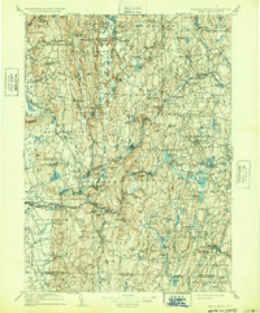
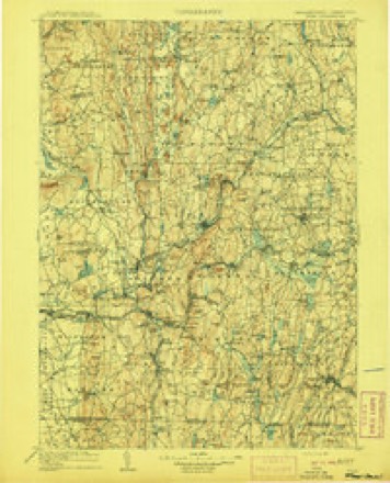
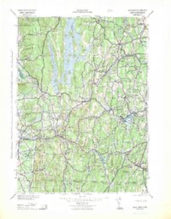
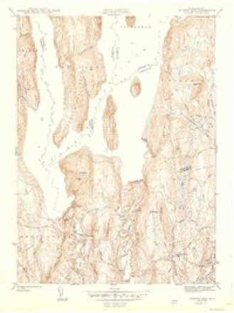
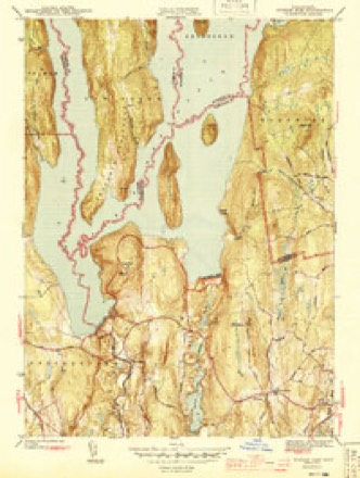
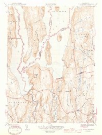
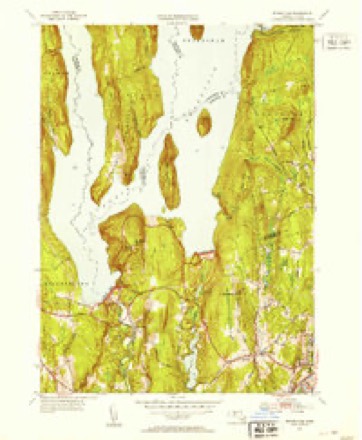
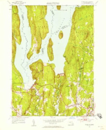
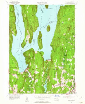
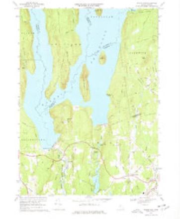
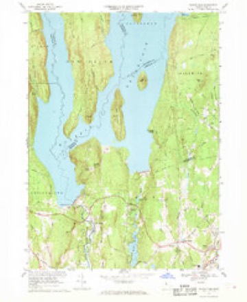
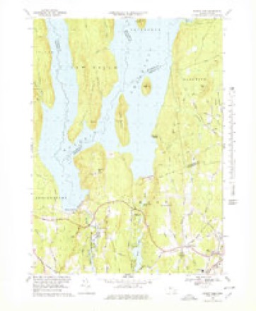
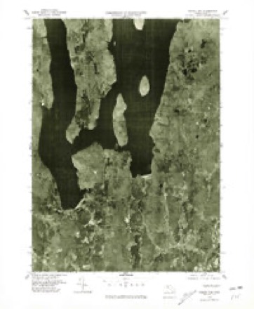
32 topographic sheets cover this place, the earliest surveyed in 1887 and the latest in 1985. It stands in Ware town. It lies in ZIP code area 01082. It stands on Little Quabbin Island. The Survey maps it on the Winsor Dam quadrangle. The federal gazetteer marks this settlement historical: it is no longer a populated place, though the surveys that recorded it still are.
Then and now
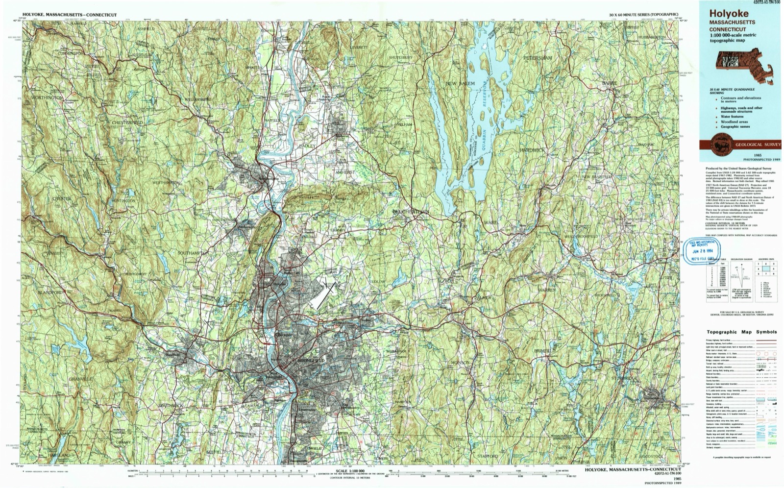
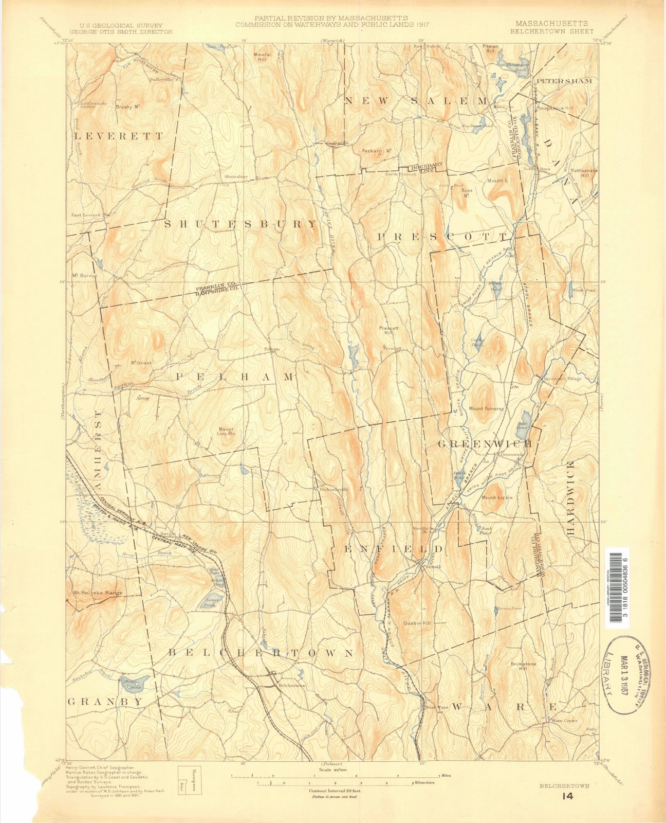
1887 to 1985The same ground, surveyed 98 years apart. Drag the handle to wipe between them. Both sheets are United States Geological Survey originals; neither has been altered.
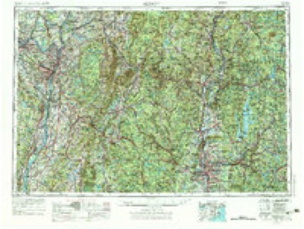
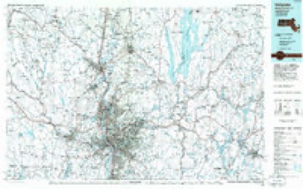
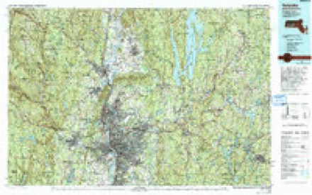
Topographic sheets covering this place
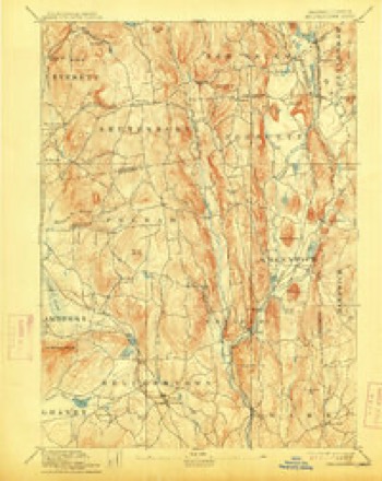
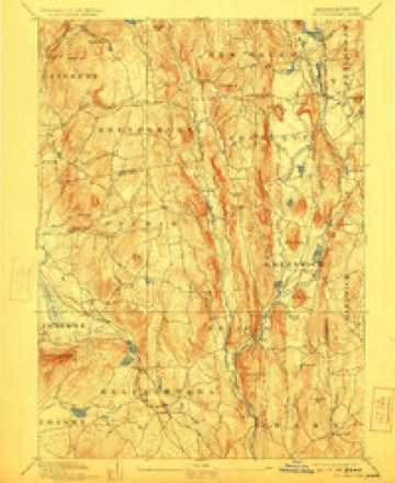
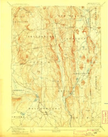
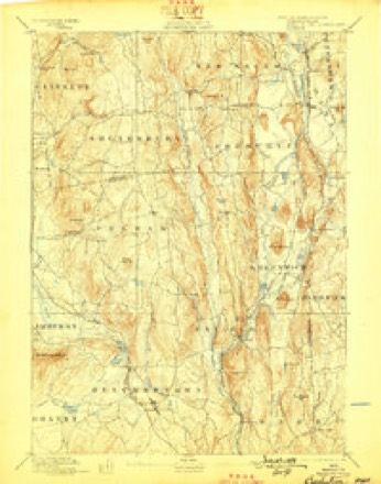
32 sheetsMatched by testing this settlement's coordinate against the published boundary of every sheet in the United States Geological Survey's historical collection. Each opens the scanned sheet at the Survey.
- 1887 USGS Belchertown quadrangle1:62500
- 1890 USGS Belchertown quadrangle1:62500
- 1893 USGS Belchertown quadrangle1:62500
- 1893 USGS Belchertown quadrangle1:62500
- 1893 USGS Belchertown quadrangle1:62500
- 1893 USGS Belchertown quadrangle1:62500
- 1893 USGS Belchertown quadrangle1:62500
- 1893 USGS Belchertown quadrangle1:62500
- 1893 USGS Belchertown quadrangle1:62500
- 1893 USGS Belchertown quadrangle1:62500
- 1908 USGS Ware quadrangle1:125000
- 1908 USGS Ware quadrangle1:125000
- 1942 USGS Ware quadrangle1:125000
- 1944 USGS Winsor Dam quadrangle1:31680
- 1944 USGS Winsor Dam quadrangle1:31680
- 1944 USGS Winsor Dam quadrangle1:31680
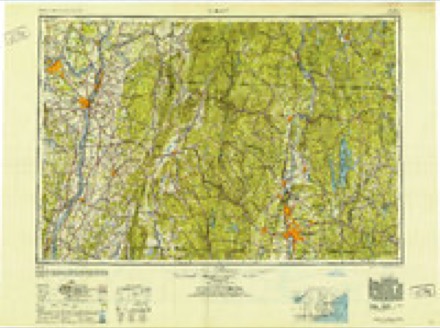
- 1948 USGS Albany quadrangle1:250000
- 1952 USGS Winsor Dam quadrangle1:31680
- 1952 USGS Winsor Dam quadrangle1:31680
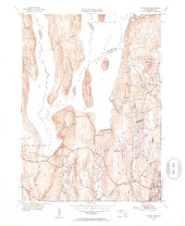
- 1952 USGS Winsor Dam quadrangle1:24000
- 1952 USGS Winsor Dam quadrangle1:24000
- 1956 USGS Albany quadrangle1:250000
- 1956 USGS Albany quadrangle1:250000
- 1957 USGS Albany quadrangle1:250000
- 1959 USGS Albany quadrangle1:250000
- 1962 USGS Albany quadrangle1:250000
- 1967 USGS Winsor Dam quadrangle1:24000
- 1967 USGS Winsor Dam quadrangle1:24000
- 1967 USGS Winsor Dam quadrangle1:25000
- 1975 USGS Winsor Dam quadrangle1:25000
- 1985 USGS Holyoke quadrangle1:100000
- 1985 USGS Holyoke quadrangle1:100000
In the county-history sources
6,162 words on this townshipGeology of Old Hampshire County, Massachusetts : Comprising Franklin, Hampshire, and Hampden Counties, published 1898 names this settlement in its chapter on Ware Town. These are the passages that mention it, exactly as the scans read.
This fixes the position of the fibrolite-schist as the equivalent of the upper mica-schist, as does the fact that it lies in continuation of the micaschists in Enfield, and the latter are the only beds sufficiently argillaceous to have furnished material for so much aluminous silicate. These same mica-schists grade eastward into fibrolite-schist and continue across Worcester County, but they are rarely so coarse as here,
Passage source: Geology of Old Hampshire County, Massachusetts : Comprising Franklin, Hampshire, and Hampden Counties, published 1898.
A naiToM' s>-iu'liue comes out from beneath the sands east of Greenwich village and near the east line of Greenwich. Traces of it appear to the north, mostly covered by sand, along- the roadside east of Warner's pond. It makes tlie high hill which extends down the east line of Greeiiwich and Enfield, and is well exposed along- the road running east from Enfield. Here, near W. N. Avery's, the fibrolite-schist is a nearly pure bucholzite, in thick layers, in a fine-grained feldspathic quartzite without brown mica, gi'aphite, or garnet. As it lies immediately above the amphibolite it occupies the position of the whetstone-schist. The center of the series is occupied by the rusty mica-schist, while on the west there is a dull-greenish graphitegarnet-muscovite-schist and a granulite with its gai-nets bordered by green, and both these beds indicate the presence of the basal beds below the amphibolite, but not in thickness sufficient to be put upon the map. In Ware this terrane is well exposed between the town farm and the schoolhouse to the west.
Passage source: Geology of Old Hampshire County, Massachusetts : Comprising Franklin, Hampshire, and Hampden Counties, published 1898.
Machine-read from a century-old scan, so expect the errors a machine makes: misspelled names, dropped words, stray characters.
Fires near this place
21 since 2004Regional context, not property-specific evidence. The federal wildfire occurrence database lists 21 fires within 5 miles of Enfield (historical) between 2004 and 2020, burning about 12 acres in total. 2 started naturally. None was recorded as arson. Distance is straight-line from the map coordinates, so a fire counted here may appear on a neighbouring settlement's page as well.
| Reported cause | Fires |
|---|---|
| Equipment and vehicle use | 12 |
| Missing data/not specified/undetermined | 3 |
| Natural | 2 |
| Recreation and ceremony | 2 |
| Debris and open burning | 2 |
The most recent of them, most recent first, with the day each was reported and the service that recorded it.
| Date | Cause | Size | Reported by | Name on the report |
|---|---|---|---|---|
| 10 September 2016 | Equipment and vehicle use | under an acre | Massachusetts Bureau of Forest Fire Control | not named |
| 20 August 2020 | Natural | under an acre | Massachusetts Bureau of Forest Fire Control | LITTLE QUABBIN ISLAND FIRE |
| 9 July 2020 | Debris and open burning | under an acre | Massachusetts Bureau of Forest Fire Control | not named |
| 4 May 2015 | Equipment and vehicle use | 2.0 acres | Massachusetts Bureau of Forest Fire Control | not named |
| 4 May 2015 | Recreation and ceremony | 1.0 acres | Massachusetts Bureau of Forest Fire Control | not named |
| 4 May 2015 | Equipment and vehicle use | under an acre | Massachusetts Bureau of Forest Fire Control | not named |
| 2 May 2018 | Missing data/not specified/undetermined | under an acre | Massachusetts Bureau of Forest Fire Control | not named |
| 9 April 2017 | Equipment and vehicle use | under an acre | Massachusetts Bureau of Forest Fire Control | not named |
Settlements close enough to share some of these fires:
Specimens collected near this place
12 of 1,601 shownRegional context, not property-specific evidence. Museums hold 1,601 specimens collected within 10 miles of Enfield (historical) between 1831 and 1975: 811 Plantae, 492 Animalia, 257 Fungi, 39 Chromista, 2 Protozoa. 12 distinct Species records are shown. Collected by A. C. Gibson, A. Clark, A. E. Touey and others. Each is a physical object with a catalogue number, and each entry opens the museum's record. This is what was collected and kept, not a survey of what lives here - nothing can be concluded from a species being absent.
| Image | Species | Year | Collected by | Where, as recorded |
|---|---|---|---|---|
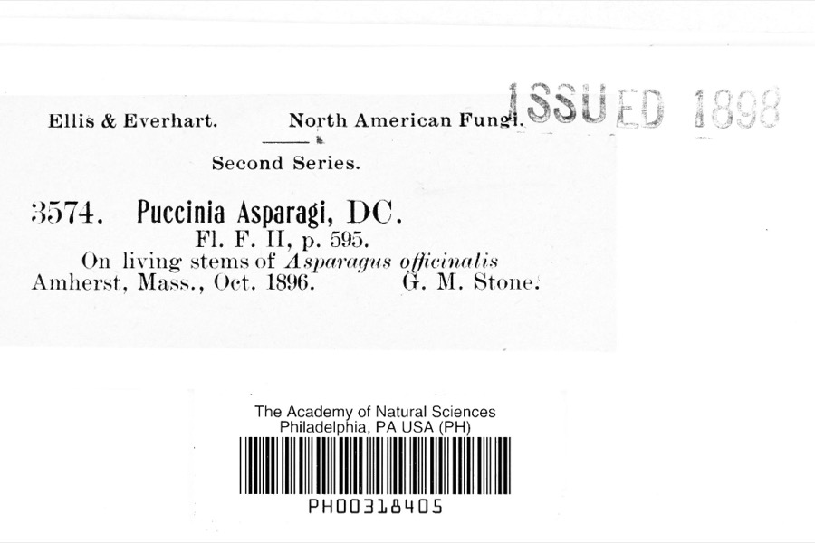 | Puccinia asparagi DC. | 1896 | G. M. Stone | Amherst |
 | Ranunculus ambigens S.Watson | 1831 | S. Shurtleff | |
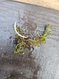 | Elodea nuttallii (Planch.) H.St.John | 1847 | H. G. Jesup | |
 | Biatora sanguineoatra (Wulfen) Tuck. | 1848 | Tuckerman Edward | |
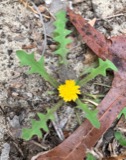 | Krigia virginica (L.) Willd. | 1857 | not recorded | |
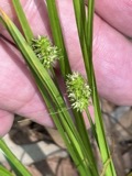 | Carex cephalophora Muhl. ex Willd. | 1858 | J. Blake | |
 | Carex vestita Willd. | 1858 | J. Blake | Ware |
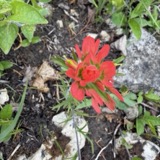 | Castilleja coccinea (L.) Spreng. | 1858 | A. P. Chute | |
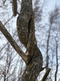 | Celastrus scandens L. | 1858 | s.coll. | |
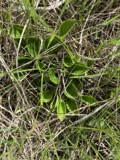 | Parnassia glauca Raf. | 1858 | R. Mock | |
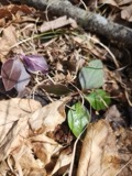 | Polygaloides paucifolia (Willd.) J.R.Abbott | 1858 | R. Mock | |
 | Ranunculus flabellaris Raf. | 1858 | A. P. Chute |
All 1,601 specimens within 10 miles, at the Global Biodiversity Information Facility.
Mines and quarries near this place
2 within 5 milesRegional context, not property-specific evidence. The federal mineral resources record lists 2 workings within 5 miles of Enfield (historical): 1 past producer, 1 occurrence. None of them still produces. What was taken out: Sand and Gravel, Construction, Iron. Distance is straight-line from the map coordinates, so a quarry counted here may appear on a neighbouring settlement's page as well.
| Where | Site | Commodity | Status | Recorded |
|---|---|---|---|---|
| Andrews Mine | Iron | Occurrence | 1871 | |
| Belchertown Pit | Sand and Gravel, Construction | Past Producer |
Nearest settlements
The eight closest, with where each one stands in the county. Distances are straight-line, computed from the Geographic Names Information System coordinates.
| Map | Place | Distance | Sheets |
|---|---|---|---|
| West Ware | 3.0 miles | 32 | |
| Packardville | 3.4 miles | 32 | |
| South Quabbin Villa | 3.5 miles | 32 | |
| Knights Corner | 4.4 miles | 32 | |
| Belchertown | 4.5 miles | 32 | |
| Highland Glen Estates | 4.8 miles | 32 | |
| Ware Center | 4.8 miles | 32 | |
| Cold Spring | 5.0 miles | 35 |
Elsewhere
Matched on this settlement's Geographic Names Information System number rather than its name, so it cannot be a different place of the same name in another state.
| Wikipedia article on Enfield (historical) | An encyclopaedic summary. Its text is share-alike, so it is linked here rather than copied. |
| Wikidata item Q5377276 | The structured record the population and elevation above come from. Public domain (CC0). |
Provenance
This settlement is recorded in the Geographic Names Information System as feature 617477. The sheet list is computed by point-in-boundary test against the United States Geological Survey's historical topographic inventory. Both are works of the United States government and carry no copyright under 17 U.S.C. 105.
Wildfire. Short, Karen C. 2022. Spatial wildfire occurrence data for the United States, 1992-2020 [FPA_FOD_20221014]. 6th Edition. Fort Collins, CO: Forest Service Research Data Archive. https://doi.org/10.2737/RDS-2013-0009.6 Collected with United States Government funding and usable without additional permissions or fees.
Specimens. Global Biodiversity Information Facility (GBIF), https://www.gbif.org/. Only records licensed CC0 or CC BY are used. Records licensed CC BY-NC are excluded because this site carries advertising. Images are checked individually and any whose licence is non-commercial, no-derivatives or unreadable is refused.
Mines and quarries. USGS Mineral Resources Data System (MRDS) https://mrdata.usgs.gov/mrds/ A work of the United States government, no copyright under 17 U.S.C. 105.