 Block
Block
Belchertown, Massachusetts
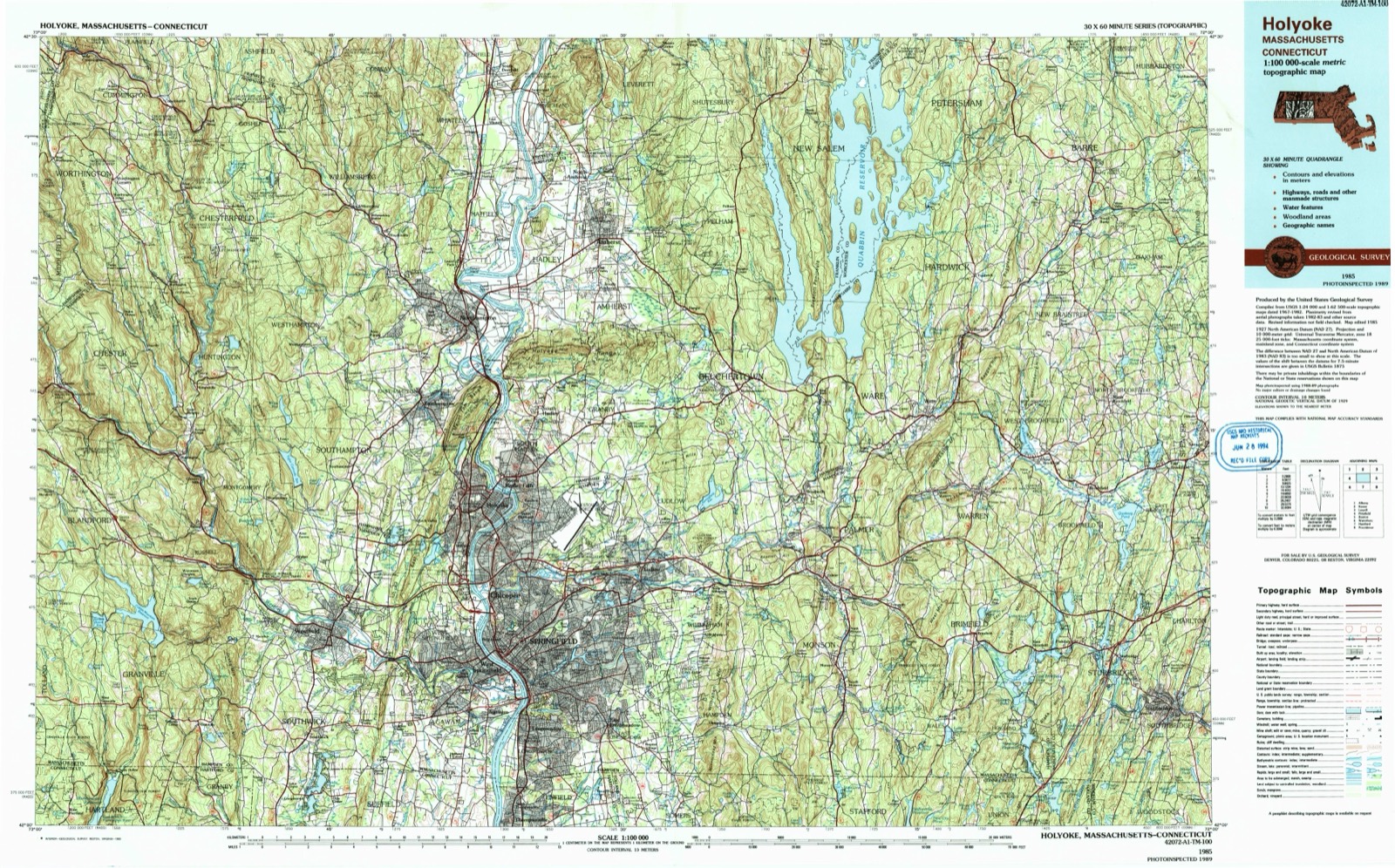
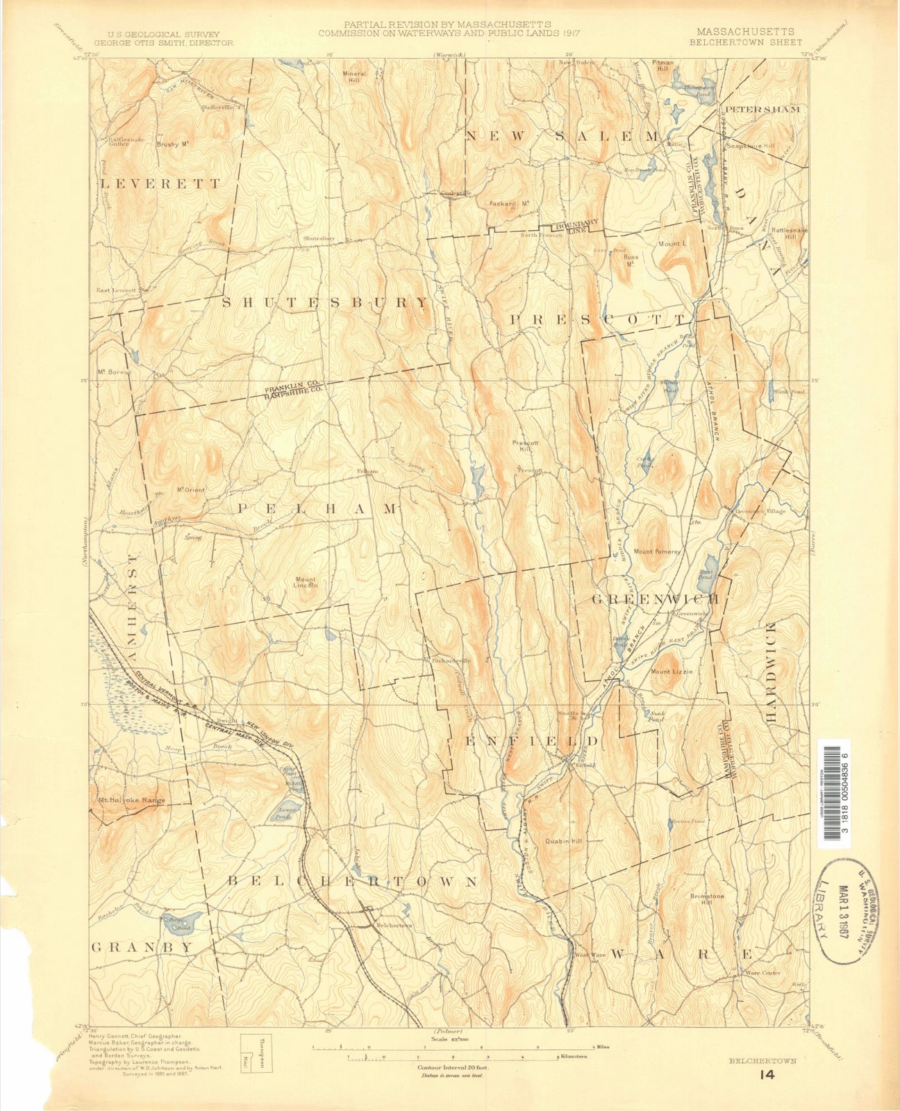
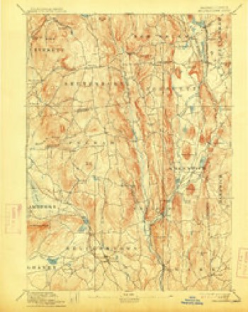
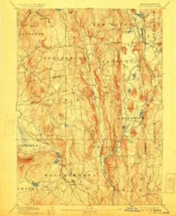
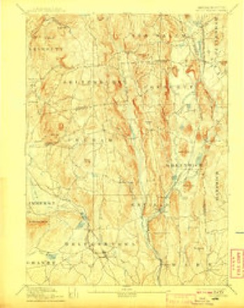
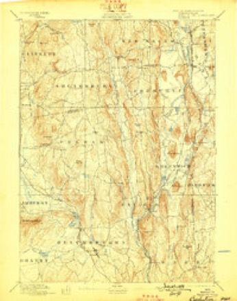
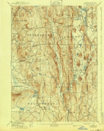
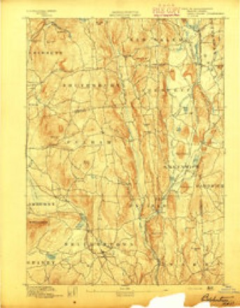
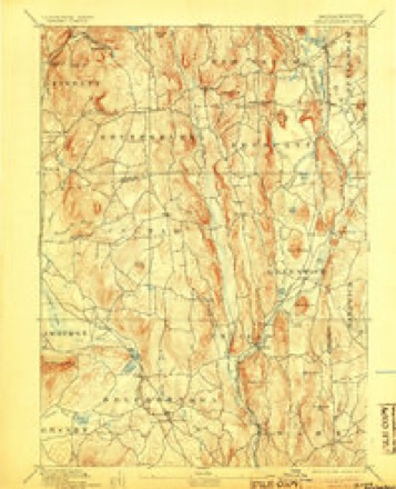
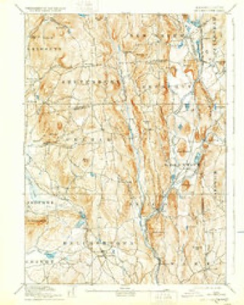
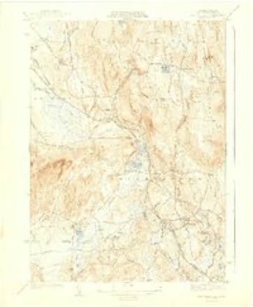
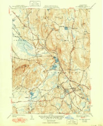
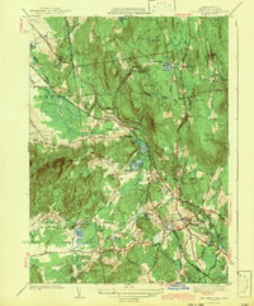
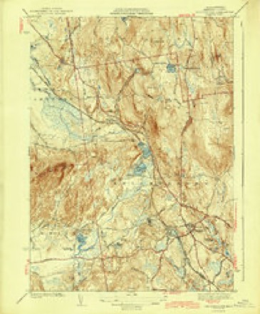
32 topographic sheets cover this place, the earliest surveyed in 1887 and the latest in 1985. It stands in Belchertown town. It lies in ZIP code area 01007. The Survey maps it on the Belchertown quadrangle. 3,129 people lived here at the 2020 count. It stands 607 feet above sea level.
Population over time
3 figuresBelchertown grew from 2,626 to 3,129 between 2000 and 2020. These are the recorded population figures Wikidata holds for this place, reached through the Geographic Names Information System number this page is keyed on rather than by name, so they belong to this place and not to another of the same name. Most are census counts, but not all are: an early figure may be a founding or settlement estimate. The change column is computed, and is left blank where more than 20 years separate a figure from the one before it, because a gap that long is not a change between two counts.
| Year | People | Change |
|---|---|---|
| 2000 | 2,626 | |
| 2010 | 2,899 | +273 (+10%) |
| 2020 | 3,129 | +230 (+8%) |
Then and now
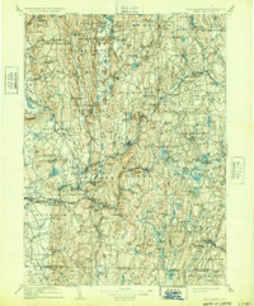
1887 to 1985The same ground, surveyed 98 years apart. Drag the handle to wipe between them. Both sheets are United States Geological Survey originals; neither has been altered.
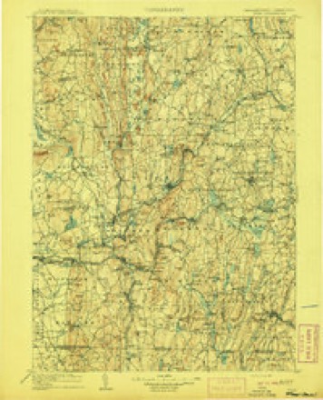
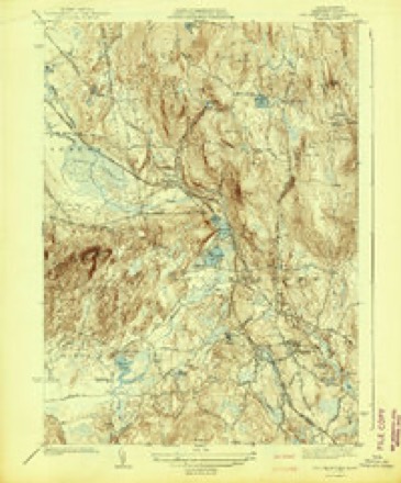
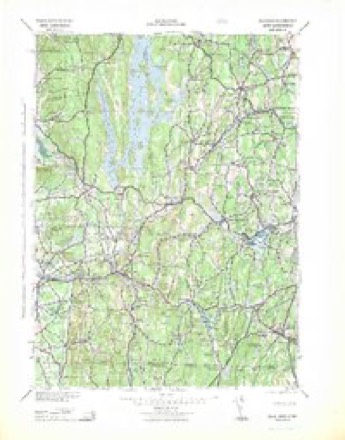
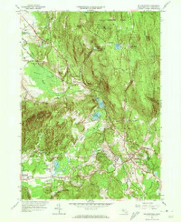
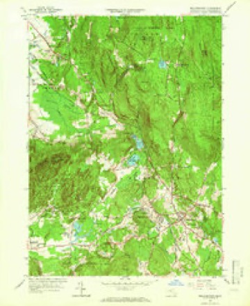
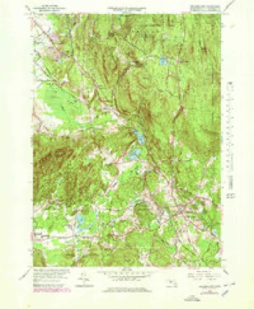
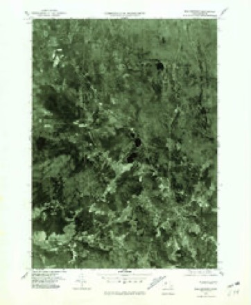
Topographic sheets covering this place
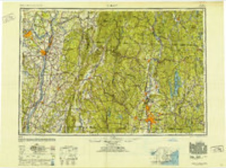
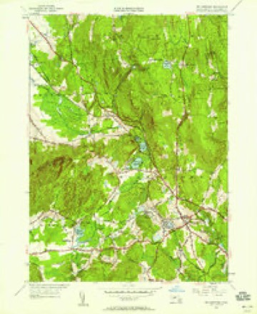
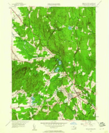
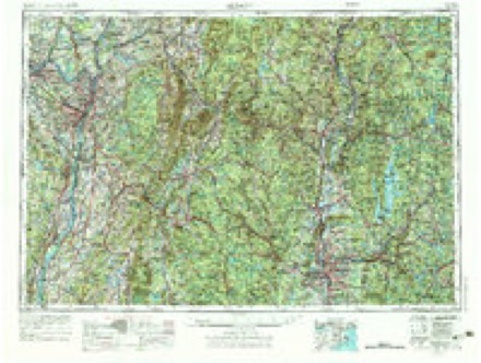
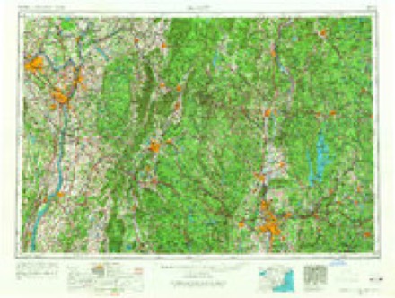
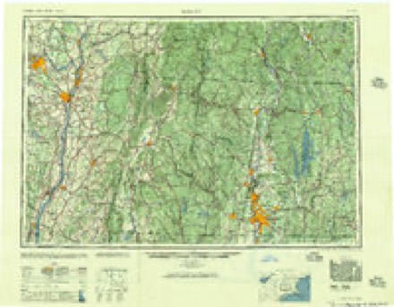
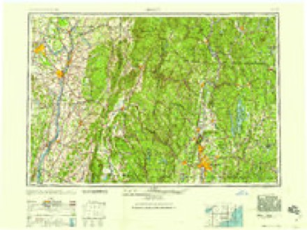
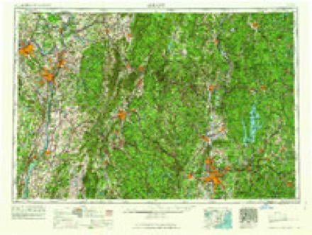
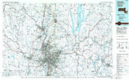
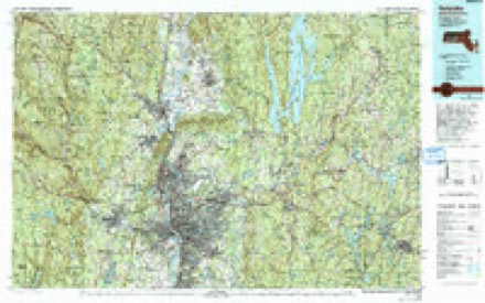
32 sheetsMatched by testing this settlement's coordinate against the published boundary of every sheet in the United States Geological Survey's historical collection. Each opens the scanned sheet at the Survey.
- 1887 USGS Belchertown quadrangle1:62500
- 1890 USGS Belchertown quadrangle1:62500
- 1893 USGS Belchertown quadrangle1:62500
- 1893 USGS Belchertown quadrangle1:62500
- 1893 USGS Belchertown quadrangle1:62500
- 1893 USGS Belchertown quadrangle1:62500
- 1893 USGS Belchertown quadrangle1:62500
- 1893 USGS Belchertown quadrangle1:62500
- 1893 USGS Belchertown quadrangle1:62500
- 1893 USGS Belchertown quadrangle1:62500
- 1908 USGS Ware quadrangle1:125000
- 1908 USGS Ware quadrangle1:125000
- 1942 USGS Belchertown quadrangle1:31680
- 1942 USGS Ware quadrangle1:125000
- 1943 USGS Belchertown quadrangle1:31680
- 1943 USGS Belchertown quadrangle1:31680
- 1943 USGS Belchertown quadrangle1:31680
- 1943 USGS Belchertown quadrangle1:31680
- 1948 USGS Albany quadrangle1:250000
- 1949 USGS Belchertown quadrangle1:24000
- 1949 USGS Belchertown quadrangle1:24000
- 1956 USGS Albany quadrangle1:250000
- 1956 USGS Albany quadrangle1:250000
- 1957 USGS Albany quadrangle1:250000
- 1959 USGS Albany quadrangle1:250000
- 1962 USGS Albany quadrangle1:250000
- 1964 USGS Belchertown quadrangle1:24000
- 1964 USGS Belchertown quadrangle1:24000
- 1964 USGS Belchertown quadrangle1:25000
- 1975 USGS Belchertown quadrangle1:25000
- 1985 USGS Holyoke quadrangle1:100000
- 1985 USGS Holyoke quadrangle1:100000
In the county-history sources
3,564 words on this townshipGeology of Old Hampshire County, Massachusetts : Comprising Franklin, Hampshire, and Hampden Counties, published 1898 names this settlement in its chapter on Belchertown Town. These are the passages that mention it, exactly as the scans read.
This is situated about 150 rods southeast of the east end of the Holyoke main sheet of trap and 2,100 feet N. 47° E. of the house of H. Moody, on the Bay road in Belchertown. It is just south of the source of a brook and within the edge of the woods, rising in a small knoll. On the north edge the contact with the sandstone is well seen, and the baking of the latter is unusually severe. The alteration has hardly begun to decrease in the width exposed - above 10 feet. The coarse red sandstone is baked into a hard, light-gray graywacke, its mica and feldspar grains having been so affected by the heat that they have been removed by later infiltration, leaving pores coated with rust. Still nearer the contact the sandstone contains many white compact masses, which are in part hollow tubes and seem to be bones of a reptile of about the same size as that found in the sandstone at Springfield. The rock is here rendered hard and impervious, and this has favored the preservation of the bones. The specimens contain lime phosphate.
Passage source: Geology of Old Hampshire County, Massachusetts : Comprising Franklin, Hampshire, and Hampden Counties, published 1898.
The second of the series of old craters or volcanic throats is exposed in a row of low knolls in the field opposite the house of J. A. Barrett, where the Bay road has just crossed the mountain toward Belchertown village and near the western line of the same township. The exposure is only about 15 rods long by 3 rods wide, with strike N. 60° E., and near at hand on all sides are abundant outcrops of conglomerate, which proves it to be an isolated deposit of limited extent. It agrees in all essentials with the rock of the newer intrusive dikes.
Passage source: Geology of Old Hampshire County, Massachusetts : Comprising Franklin, Hampshire, and Hampden Counties, published 1898.
Machine-read from a century-old scan, so expect the errors a machine makes: misspelled names, dropped words, stray characters.
Photographs
8 photographs, 2019Taken for the Office of War Information and the Farm Security Administration, who photographed the country between 1935 and 1944. Works of United States government photographers, with no known restriction on use. Each opens its catalogue record.
![Among the exhibited autos at a small antique-car show on the green in [Belchertown], Massachusetts](assets/locph_2019690166.jpg)
Highsmith, Carol M, 2019. Library of Congress
![Among the exhibited autos at a small antique-car show on the green in [Belchertown], Massachusetts](assets/locph_2019690167.jpg)
Highsmith, Carol M, 2019. Library of Congress
![This colorful 1949 Willys Jeepster, exhibited at a small antique-car show on the green in [Belchertown], Massachusetts, is one of several small cars used by the Melha Shriners, a funloving Masonic group that delights crowds in area parades](assets/locph_2019690171.jpg)
Highsmith, Carol M, 2019. Library of Congress
![As this exhibit at a small antique-car show on the green in [Belchertown], Massachusetts demonstrates, hanging dice were a popular decoration in hot rods and convertibles in the 1950s and 60s](assets/locph_2019690169.jpg)
Highsmith, Carol M, 2019. Library of Congress
![This colorful 1949 Willys Jeepster, exhibited at a small antique-car show on the green in [Belchertown], Massachusetts, is one of several small cars used by the Melha Shriners, a funloving Masonic group that delights crowds in area parades](assets/locph_2019690170.jpg)
Highsmith, Carol M, 2019. Library of Congress
![Among the exhibited autos at a small antique-car show on the green in [Belchertown], Massachusetts](assets/locph_2019690168.jpg)
Highsmith, Carol M, 2019. Library of Congress
![The 1887 Clapp Memorial Library, a public library in [Belchertown], Massachusetts](assets/locph_2019690173.jpg)
Highsmith, Carol M, 2019. Library of Congress
![The 1887 Clapp Memorial Library, a public library in [Belchertown], Massachusetts](assets/locph_2019690172.jpg)
Highsmith, Carol M, 2019. Library of Congress
Fires near this place
25 since 2015Regional context, not property-specific evidence. The federal wildfire occurrence database lists 25 fires within 5 miles of Belchertown between 2015 and 2020, burning about 29 acres in total. 1 started naturally. 1 was recorded as arson. Distance is straight-line from the map coordinates, so a fire counted here may appear on a neighbouring settlement's page as well.
| Reported cause | Fires |
|---|---|
| Equipment and vehicle use | 13 |
| Missing data/not specified/undetermined | 5 |
| Debris and open burning | 3 |
| Railroad operations and maintenance | 1 |
| Arson/incendiarism | 1 |
| Natural | 1 |
| Recreation and ceremony | 1 |
The most recent of them, most recent first, with the day each was reported and the service that recorded it.
| Date | Cause | Size | Reported by | Name on the report |
|---|---|---|---|---|
| 24 September 2015 | Missing data/not specified/undetermined | under an acre | Massachusetts Bureau of Forest Fire Control | not named |
| 5 July 2018 | Railroad operations and maintenance | 5.0 acres | Massachusetts Bureau of Forest Fire Control | not named |
| 4 July 2016 | Equipment and vehicle use | 5.3 acres | Massachusetts Bureau of Forest Fire Control | not named |
| 27 June 2015 | Debris and open burning | under an acre | Massachusetts Bureau of Forest Fire Control | not named |
| 7 May 2015 | Missing data/not specified/undetermined | under an acre | Massachusetts Bureau of Forest Fire Control | not named |
| 6 May 2015 | Missing data/not specified/undetermined | 5.0 acres | Massachusetts Bureau of Forest Fire Control | not named |
| 4 May 2015 | Equipment and vehicle use | 5.0 acres | Massachusetts Bureau of Forest Fire Control | not named |
| 4 May 2015 | Recreation and ceremony | 1.0 acres | Massachusetts Bureau of Forest Fire Control | not named |
Settlements close enough to share some of these fires:
Specimens collected near this place
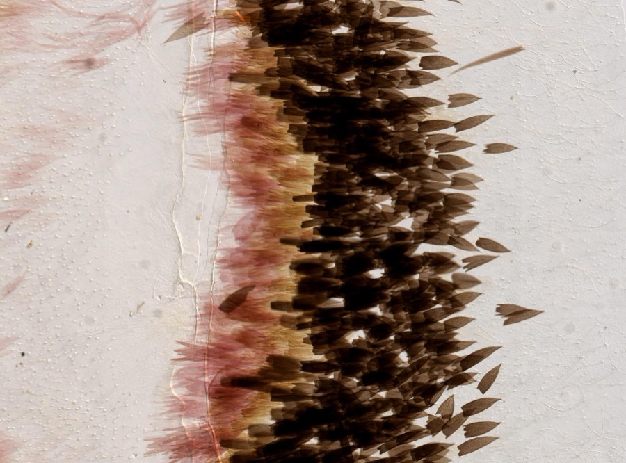
12 of 4,455 shownRegional context, not property-specific evidence. Museums hold 4,455 specimens collected within 10 miles of Belchertown between 1781 and 1975: 1,638 Plantae, 1,474 Fungi, 1,146 Animalia, 123 Chromista, 64 Protozoa, 9 Unrecorded, 1 Bacteria. 12 distinct Species records are shown. Collected by A. Albee, A. Allen, A. B. Seymour and others. Each is a physical object with a catalogue number, and each entry opens the museum's record. This is what was collected and kept, not a survey of what lives here - nothing can be concluded from a species being absent.
| Image | Species | Year | Collected by | Where, as recorded |
|---|---|---|---|---|
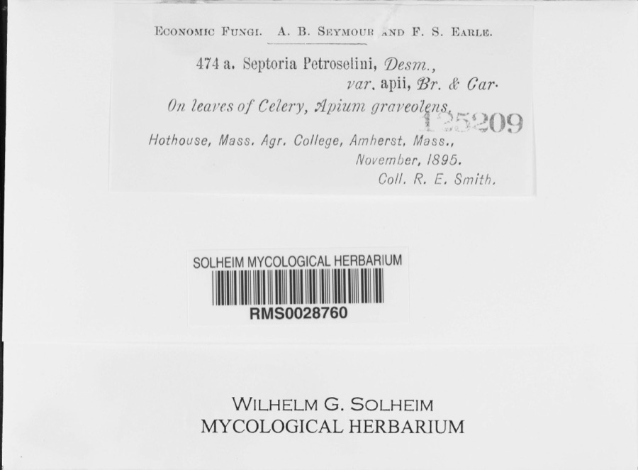 | Septoria petroselini var. apii Briosi & Cavara, 1891 | 1895 | R. E. Smith | Hothouse, Mass. Agr. College, Amherst; 42.368447 -72.519109 |
 | Actias luna Linnaeus, 1758 | 1896 | not recorded | |
 | Plathemis lydia (Drury, 1773) | 1896 | not recorded | |
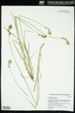 | Carex argyrantha Tuck. ex Dewey | 1781 | H. G. Jesup | Amherst in Hampshire Co., and Leverett in Franklin Co., Massachusetts. [Inferred counties from precise loc.] |
 | Carex foenea Willd. | 1781 | H. G. Jesup | And Leverett |
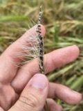 | Ustilago nuda (C.N.Jensen) Kellerm. & Swingle | 1810 | J.E. Humphrey | |
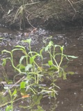 | Ranunculus ambigens S.Watson | 1831 | S. Shurtleff | |
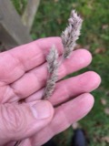 | Dactylis glomerata L. | 1839 | S J Ewer | |
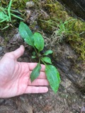 | Solidago arguta Aiton | 1841 | Collector(s): Henry Holmes Babcock, Henry Griswold Jesup | Amherst |
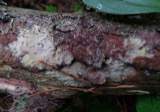 | Phlebiella vaga (Fr.) P.Karst. | 1845 | Illegible collector name | |
 | Elodea nuttallii (Planch.) H.St.John | 1847 | H. G. Jesup | |
 | Biatora sanguineoatra (Wulfen) Tuck. | 1848 | Tuckerman Edward |
All 4,455 specimens within 10 miles, at the Global Biodiversity Information Facility.
Mines and quarries near this place
2 within 5 milesRegional context, not property-specific evidence. The federal mineral resources record lists 2 workings within 5 miles of Belchertown: 2 past producers. None of them still produces. What was taken out: Sand and Gravel, Construction. Distance is straight-line from the map coordinates, so a quarry counted here may appear on a neighbouring settlement's page as well.
| Where | Site | Commodity | Status | Recorded |
|---|---|---|---|---|
| Belchertown Pit | Sand and Gravel, Construction | Past Producer | ||
| Belchertown Pit | Sand and Gravel, Construction | Past Producer |
Storms near this place
42 since 1995Regional context, not property-specific evidence. The National Weather Service names Belchertown in 42 storm reports between 1995 and 2025: 24 thunderstorm wind, 13 hail, 3 lightning, 1 heavy rain. No death or injury is recorded in these reports. Each account below is quoted exactly as the forecast office filed it, from the NOAA Storm Events Database, and each date opens the federal record of that event.
| When | Event | Place named | Harm | What the report says |
|---|---|---|---|---|
| May 2010 | Thunderstorm Wind | Belchertown | $25,000 | Many trees and wires on Route 202 were downed by thunderstorm winds. |
| May 2010 | Thunderstorm Wind | Belchertown | $25,000 | Trees and wires along Route 9 on the Ware/Belchertown line were downed by thunderstorm winds. |
| May 2010 | Thunderstorm Wind | Belchertown | $20,000 | Trees on Route 9 were downed by thunderstorm winds. |
| March 2008 | Flood | Belchertown | $20,000 | In Belchertown, at least two basements were flooded. One and a half feet of water flooded basements on Dewey Street in Williamsburg. The Mill River overflowed its banks flooding lowlands near the edge of Meadow Street in Northampton. Basements flooded in Huntington along Route 20. |
| June 2011 | Thunderstorm Wind | Belchertown | $15,000 | Several trees were downed by thunderstorm winds. |
| July 2008 | Lightning | Belchertown | $15,000 | A house was struck by lightning and caught fire. |
| June 2009 | Thunderstorm Wind | Belchertown | $10,000 | Trees and wires on Route 9, Old Belchertown Road, and Webster Road were downed by thunderstorm winds. |
| July 2020 | Thunderstorm Wind | Belchertown | $5,000 | In Belchertown, a large tree and a large branch were down on wires on George Hannum Street. A tree was down on Bay Road. A large tree was down on wires on Hamilton Street. A tree was down on Warren Wright Road. |
| August 2019 | Lightning | Belchertown | $5,000 | In Belchertown, a tree that was struck by lightning fell down onto a mobile home on Chauncey Walker Street. |
| September 2016 | Thunderstorm Wind | Belchertown | $5,000 | A tree was downed onto Route 9 by thunderstorm winds. |
| October 2013 | Thunderstorm Wind | Belchertown | $5,000 | A tree and wires were downed by thunderstorm winds at the intersection of Gulf Road and North Street. |
| June 2002 | Thunderstorm Wind | Belchertown | $5,000 | no account filed |
| November 1997 | Lightning | Belchertown | $5,000 | no account filed |
| November 2020 | Thunderstorm Wind | Belchertown | $2,600 | In Belchertown, a tree and wires were down on Turkey Hill Road. Also, a large tree was down on wires on Franklin Street. |
| July 2022 | Thunderstorm Wind | Belchertown | $2,300 | In Belchertown, a large tree was down, blocking Route 21 near the Ludlow line, per police. Also, a large tree and power lines were down on North Washington Street, per the fire department. Reports relayed by amateur radio. |
| July 2025 | Thunderstorm Wind | Belchertown | $1,500 | There were several trees down in Belchertown near Turkey Hill Rd, Chauncey Walker St, Summit St, and Shaw Rd. |
| July 2024 | Thunderstorm Wind | Belchertown | $1,500 | In Belchertown, trees were reported down on Rt 9. |
| July 2025 | Thunderstorm Wind | Belchertown | $1,000 | In Belchertown, multiple wires were down on Pelham Rd near Federal St. |
| June 2024 | Thunderstorm Wind | Belchertown | $1,000 | In Belchertown, two moderate sized trees that were multi trunk snapped near the base. |
| July 2021 | Thunderstorm Wind | Belchertown | $800 | In Belchertown, a tree and wires were down on Howard St. |
| July 2024 | Thunderstorm Wind | Belchertown | $300 | In Belchertown, wires were reported down. |
| July 2024 | Thunderstorm Wind | Belchertown | $300 | In Belchertown, a tree was down across Ware Rd (Rt 9) at Sabin St. |
| July 2024 | Thunderstorm Wind | Belchertown | $300 | In Belchertown, a tree was down on Springfield Rd. |
| August 2024 | Hail | Belchertown | - | In Belchertown, quarter sized hail fell. |
| August 2020 | Hail | Belchertown | - | In Belchertown, dime sized hail was reported. |
| August 2019 | Hail | Belchertown | - | Dime size hail was reported in Belchertown. |
| August 2019 | Hail | Belchertown | - | In Belchertown, hail ranging from 1.00 to 1.25 inches in diameter fell between 214 PM and 218 PM EDT (114 PM and 118 PM EST). |
| May 2017 | Hail | Belchertown | - | At 630 PM EST, dime size hail was reported in Belchertown. |
| June 2016 | Hail | Belchertown | - | Nickel size hail fell on Old Sawmill Road in Belchertown. |
| June 2007 | Thunderstorm Wind | Belchertown | - | Trees downed - one of which took down a telephone pole. |
| July 2007 | Thunderstorm Wind | Belchertown | - | Trees and wires down. |
| June 1995 | Hail | Belchertown | - | Thunderstorms moving eastward through western and central Massachusetts during the late afternoon produced over one inch in some places. Heavy rain was reported from parts of Franklin and Worcester Counties. Pea-size hail was reported from Holden and Athol in Worcester County. More thunderstorms, some severe, moved through much of the same area during the evening and produced gusty winds, hail, and torrential rain. Trees were reported blown down in Warwick and golf ball-size hail fell in Belchertown. There were numerous reports of pea-size hail in Hampden and Hampshire Counties as well as a few reports of dime-size hail. Torrential rain amounted to 3.31 inches in Worthington in a two and one-half hour period ending at 2315 EST, resulting in flash flooding. A driveway was washed out and several partial street washouts were reported. Street flooding was reported in Franklin and Hampshire Counties, including the towns of Plainfield and Deerfield. The automated weather station at Orange recorded 0.41 inches of rain in 25 minutes. As the storms moved to the east, street flooding was reported in parts of Worcester County in the late evening, including Westboro. |
| July 2013 | Hail | Belchertown | - | no account filed |
| August 2011 | Hail | Belchertown | - | no account filed |
| August 2011 | Hail | Belchertown | - | no account filed |
| August 2011 | Hail | Belchertown | - | no account filed |
| June 2011 | Hail | Belchertown | - | no account filed |
| August 2000 | Heavy Rain | Belchertown | - | no account filed |
| May 1998 | Thunderstorm Wind | Belchertown | - | no account filed |
| May 1998 | Hail | Belchertown | - | no account filed |
| June 1996 | Thunderstorm Wind | Belchertown | - | no account filed |
| July 1996 | Thunderstorm Wind | Belchertown | - | no account filed |
Nearest settlements
The eight closest, with where each one stands in the county. Distances are straight-line, computed from the Geographic Names Information System coordinates.
| Map | Place | Distance | Sheets |
|---|---|---|---|
| Highland Glen Estates | 0.8 miles | 32 | |
| South Quabbin Villa | 1.2 miles | 32 | |
| Cold Spring | 3.2 miles | 35 | |
| Cooks Corner | 3.7 miles | 32 | |
| West Ware | 3.8 miles | 32 | |
| Dwight | 4.4 miles | 32 | |
| Bardwell | 4.4 miles | 35 | |
| Enfield (historical) | 4.5 miles | 32 |
Elsewhere
Matched on this settlement's Geographic Names Information System number rather than its name, so it cannot be a different place of the same name in another state.
| Wikipedia article on Belchertown | An encyclopaedic summary. Its text is share-alike, so it is linked here rather than copied. |
| Wikidata item Q4882060 | The structured record the population and elevation above come from. Public domain (CC0). |
Provenance
This settlement is recorded in the Geographic Names Information System as feature 609121. The sheet list is computed by point-in-boundary test against the United States Geological Survey's historical topographic inventory. Both are works of the United States government and carry no copyright under 17 U.S.C. 105.
Wildfire. Short, Karen C. 2022. Spatial wildfire occurrence data for the United States, 1992-2020 [FPA_FOD_20221014]. 6th Edition. Fort Collins, CO: Forest Service Research Data Archive. https://doi.org/10.2737/RDS-2013-0009.6 Collected with United States Government funding and usable without additional permissions or fees.
Specimens. Global Biodiversity Information Facility (GBIF), https://www.gbif.org/. Only records licensed CC0 or CC BY are used. Records licensed CC BY-NC are excluded because this site carries advertising. Images are checked individually and any whose licence is non-commercial, no-derivatives or unreadable is refused.
Mines and quarries. USGS Mineral Resources Data System (MRDS) https://mrdata.usgs.gov/mrds/ A work of the United States government, no copyright under 17 U.S.C. 105.
Storms. NOAA National Centers for Environmental Information, Storm Events Database https://www.ncei.noaa.gov/stormevents/ A work of the United States government, no copyright under 17 U.S.C. 105. Narratives are quoted verbatim from the National Weather Service report and are not edited or summarised.