 Block
Block
Everett, Massachusetts
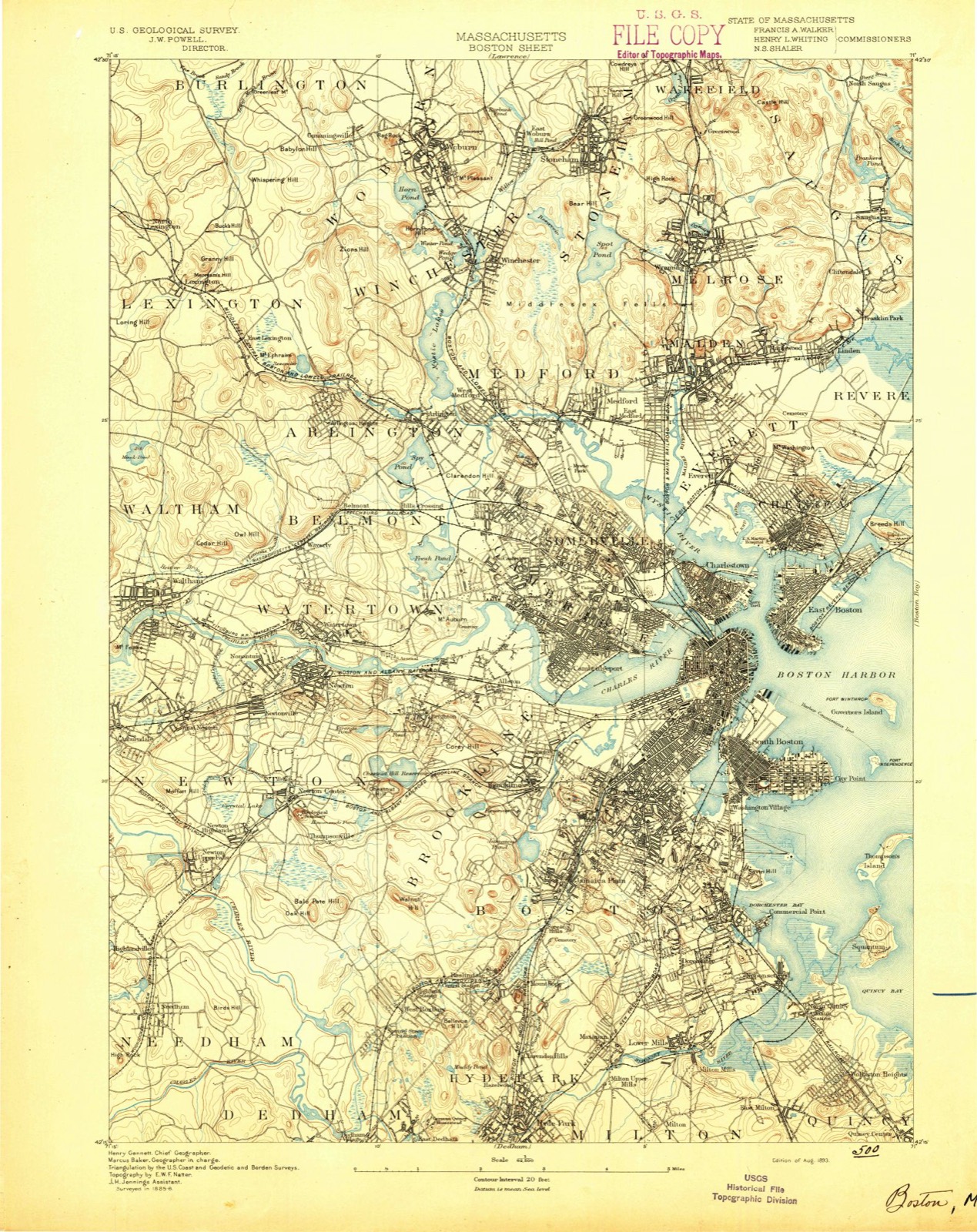
46 topographic sheets cover this place, the earliest surveyed in 1893 and the latest in 1989. It stands in Everett City. It lies in ZIP code area 02149. It stands on Mount Washington. The Survey maps it on the Boston North quadrangle. 49,075 people lived here at the 2020 count. It stands 10 feet above sea level.
Population over time
2 figuresEverett grew from 41,667 to 49,075 between 2010 and 2020. These are the recorded population figures Wikidata holds for this place, reached through the Geographic Names Information System number this page is keyed on rather than by name, so they belong to this place and not to another of the same name. Most are census counts, but not all are: an early figure may be a founding or settlement estimate. The change column is computed, and is left blank where more than 20 years separate a figure from the one before it, because a gap that long is not a change between two counts.
| Year | People | Change |
|---|---|---|
| 2010 | 41,667 | |
| 2020 | 49,075 | +7,408 (+18%) |
Then and now
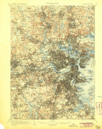
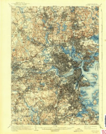
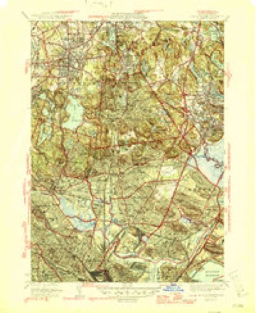
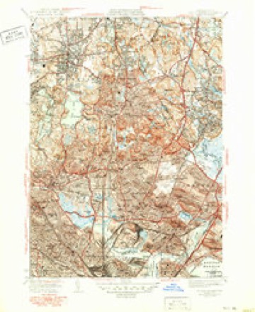
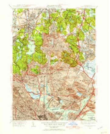
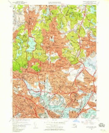
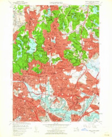
1893 to 1989The same ground, surveyed 96 years apart. Drag the handle to wipe between them. Both sheets are United States Geological Survey originals; neither has been altered.

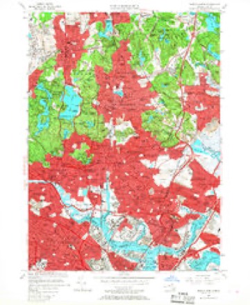
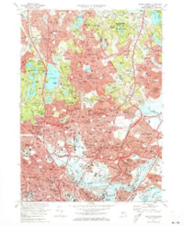
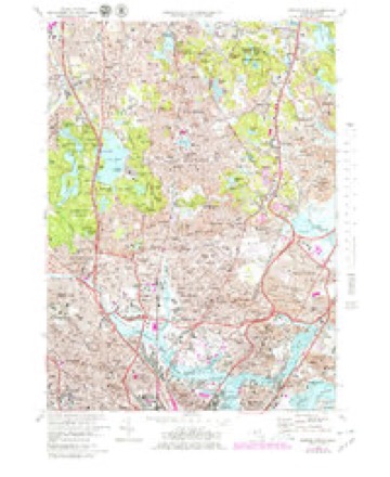
Topographic sheets covering this place
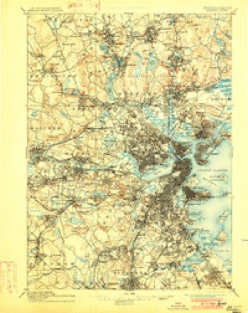
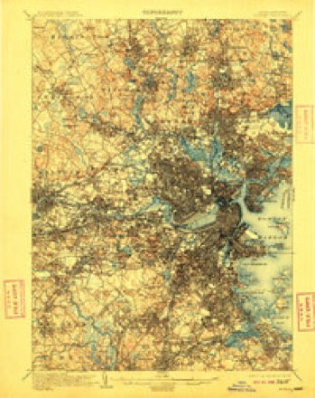
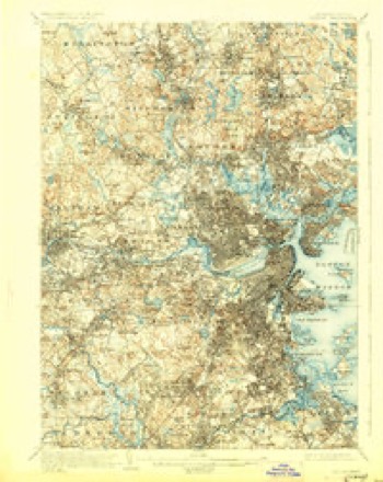
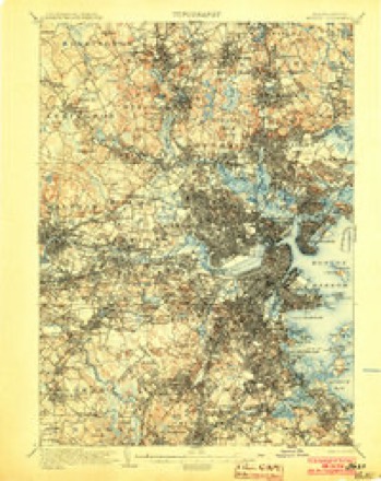
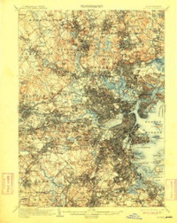
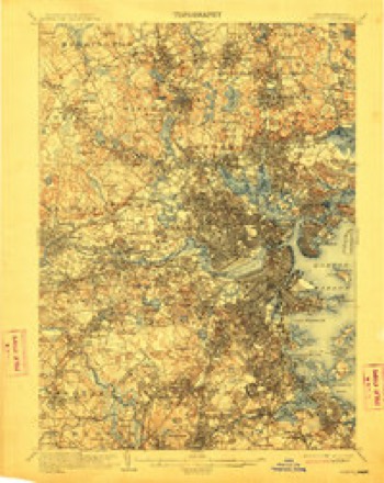
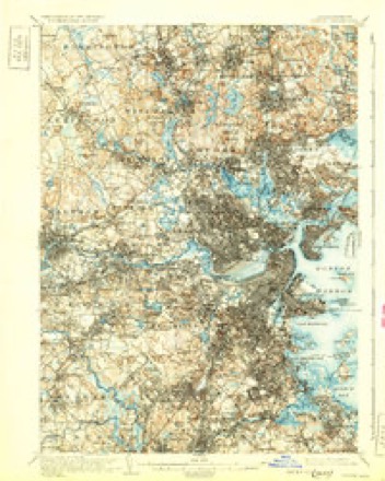
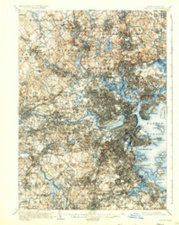
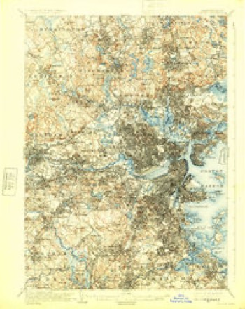
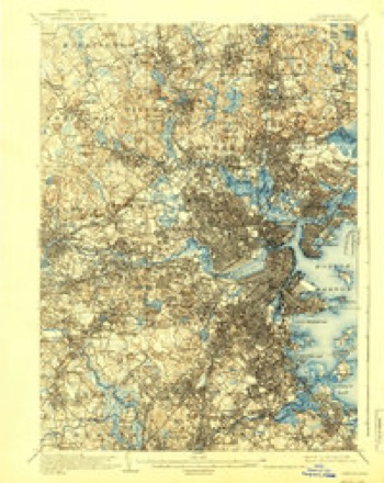
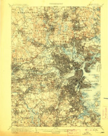
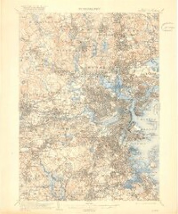
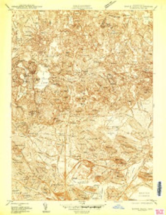
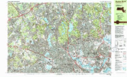
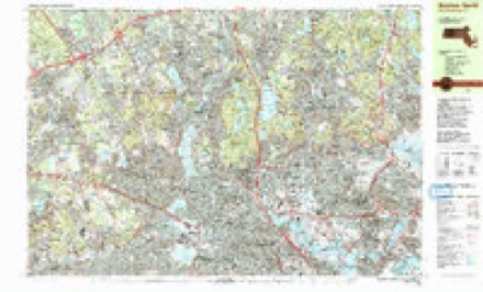
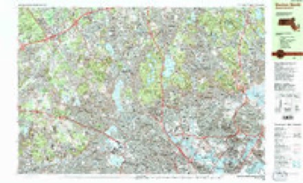
46 sheetsMatched by testing this settlement's coordinate against the published boundary of every sheet in the United States Geological Survey's historical collection. Each opens the scanned sheet at the Survey.
- 1893 USGS Boston quadrangle1:62500
- 1893 USGS Boston quadrangle1:62500
- 1893 USGS Boston quadrangle1:62500
- 1893 USGS Boston quadrangle1:62500
- 1903 USGS Boston quadrangle1:62500
- 1903 USGS Boston quadrangle1:62500
- 1903 USGS Boston quadrangle1:62500
- 1903 USGS Boston quadrangle1:62500
- 1903 USGS Boston quadrangle1:62500
- 1903 USGS Boston quadrangle1:62500
- 1903 USGS Boston quadrangle1:62500
- 1903 USGS Boston quadrangle1:62500
- 1903 USGS Boston quadrangle1:62500
- 1903 USGS Boston quadrangle1:62500
- 1903 USGS Boston quadrangle1:62500
- 1903 USGS Boston quadrangle1:62500
- 1903 USGS Boston quadrangle1:62500
- 1943 USGS Boston quadrangle1:125000
- 1943 USGS Boston North quadrangle1:24000
- 1946 USGS Boston North quadrangle1:31680
- 1946 USGS Boston North quadrangle1:31680
- 1948 USGS Boston quadrangle1:250000
- 1948 USGS Boston quadrangle1:250000
- 1949 USGS Boston North quadrangle1:31680
- 1956 USGS Boston quadrangle1:250000
- 1956 USGS Boston quadrangle1:250000
- 1956 USGS Boston quadrangle1:250000
- 1956 USGS Boston quadrangle1:250000
- 1956 USGS Boston quadrangle1:250000
- 1956 USGS Boston quadrangle1:250000
- 1956 USGS Boston North quadrangle1:24000
- 1956 USGS Boston North quadrangle1:24000
- 1956 USGS Boston North quadrangle1:24000
- 1958 USGS Boston quadrangle1:250000
- 1958 USGS Boston quadrangle1:250000
- 1961 USGS Boston quadrangle1:250000
- 1961 USGS Boston quadrangle1:250000
- 1971 USGS Boston North quadrangle1:24000
- 1971 USGS Boston North quadrangle1:25000
- 1977 USGS Boston North quadrangle1:25000
- 1985 USGS Boston quadrangle1:100000
- 1985 USGS Boston North quadrangle1:25000
- 1985 USGS Boston North quadrangle1:25000
- 1985 USGS Boston North quadrangle1:25000
- 1989 USGS Boston quadrangle1:100000
- 1989 USGS Boston quadrangle1:100000
















In the county-history sources
24,250 words on this townshipHistory of Middlesex County, Massachusetts, with Biographical Sketches of Many of Its Pioneers and Prominent Men, published 1890 names this settlement in its chapter on Everett City. These are the passages that mention it, exactly as the scans read.
The Waters Governor Works, established by Mr. Charles Waters for the purpose of manufacturing steam-engine governors on a patent issued to Mr. Waters January 3, 1871, were located in Everett, about eight years ago in a building formerly owned by Hervey Waters and designed by him for a scythe factory. Mr. Charles Waters died in 1880, and Mr. Edward Dewey purchased the business and on April 27, 1882, became owner of the factory at Everett, where he shortly after commenced manufacturing operations, which were continued by himself and Mr. R. B. Lincoln, under the firm-name of Edward Dewey & Co., until the death of Mr. Dewey, April 9, 1890. Since that time the business has been carried on by Mr. Lincoln, the surviving partner. The establishment employs from forty to fifty hands and manufactures from 2500 to 4000 steam governors annually.
Passage source: History of Middlesex County, Massachusetts, with Biographical Sketches of Many of Its Pioneers and Prominent Men, published 1890.
The furniture factory now owned and operated by Charles H. Bangs was originally established by Mr. Geo. D. Otis in 1885 for the manufacture of chamber furniture. The establishment was purchased by Mr. Bangs in March, 1888, and is now devoted to the manufacture of drug-store interiors, for which Everett has the largest establishment of its kind in the world. The business was begun by Mr. Bangs in the latter part of the year 1885. The idea originated with Mr. Bangs of making such work in sectional form for convenience in shipment and adaptability to different situations or locations. This method has become very popular on account of the quality of the work that can be produced by being able to concentrate the required workmen upon a single specialty. The enterprise has grown from a very modest beginning to one of large proportions, Mr. Bangs having in his employ at the present time between eighty and ninety employees, including a great many different trades, such as designers, draughtsmen, carvers, show-case makers, glass-grinders, metal-workers, silver-platers, millmen, cabinet-makers, glass-stainers, etc. Besides these several men are employed for setting up the work, which is now being shipped to every part of the United States, and several the past year have been exported. The present output of the establishment is at the rate of nearly a quarter of a million per year, and the demand seems to be rapidly increasing. Many of the finest drug-stores in the country are the product of these factories. 37-iii
Passage source: History of Middlesex County, Massachusetts, with Biographical Sketches of Many of Its Pioneers and Prominent Men, published 1890.
Though not coming within line of manufacturing business, the sale of spring water has assumed proportions which entitle it to mention as one of the important industries of Everett. Everett or South Maiden spring water has from time immemorial been noted for its excellent qualities. The first systematic attempt to make it an article of merchandize was made by the Everett Spring Water Co. in 1881, when they purchased the land at the junction of Ferry and Chelsea Streets, andsoon after established a plant including the present Everett Spring House. They have since done an extensive business in the sale of Everett Spring Water.
Passage source: History of Middlesex County, Massachusetts, with Biographical Sketches of Many of Its Pioneers and Prominent Men, published 1890.
Machine-read from a century-old scan, so expect the errors a machine makes: misspelled names, dropped words, stray characters.
Read the whole chapter on Everett City - it names this place 60 more 60 times.
Fires near this place
74 since 2015Regional context, not property-specific evidence. The federal wildfire occurrence database lists 74 fires within 5 miles of Everett between 2015 and 2020, burning about 108 acres in total. None started naturally. 29 were recorded as arson. Distance is straight-line from the map coordinates, so a fire counted here may appear on a neighbouring settlement's page as well.
| Reported cause | Fires |
|---|---|
| Arson/incendiarism | 29 |
| Missing data/not specified/undetermined | 19 |
| Recreation and ceremony | 11 |
| Debris and open burning | 10 |
| Smoking | 4 |
| Misuse of fire by a minor | 1 |
The most recent of them, most recent first, with the day each was reported and the service that recorded it.
| Date | Cause | Size | Reported by | Name on the report |
|---|---|---|---|---|
| 4 September 2018 | Missing data/not specified/undetermined | under an acre | Massachusetts Bureau of Forest Fire Control | not named |
| 3 September 2018 | Missing data/not specified/undetermined | under an acre | Massachusetts Bureau of Forest Fire Control | not named |
| 23 September 2019 | Missing data/not specified/undetermined | under an acre | Massachusetts Bureau of Forest Fire Control | not named |
| 23 September 2019 | Missing data/not specified/undetermined | under an acre | Massachusetts Bureau of Forest Fire Control | not named |
| 22 September 2019 | Missing data/not specified/undetermined | under an acre | Massachusetts Bureau of Forest Fire Control | not named |
| 21 September 2020 | Missing data/not specified/undetermined | under an acre | Massachusetts Bureau of Forest Fire Control | not named |
| 2 September 2017 | Recreation and ceremony | under an acre | Massachusetts Bureau of Forest Fire Control | QUINCY |
| 18 September 2016 | Arson/incendiarism | under an acre | Massachusetts Bureau of Forest Fire Control | MELROSE |
Settlements close enough to share some of these fires:
Specimens collected near this place
12 of 1,634 shownRegional context, not property-specific evidence. Museums hold 1,634 specimens collected within 10 miles of Everett between 1898 and 1975: 710 Animalia, 504 Plantae, 359 Fungi, 26 Protozoa, 17 Bacteria, 10 Chromista, 8 Unrecorded. 12 distinct Species records are shown. Collected by ?, A B Seymour, A B. Proper and others. Each is a physical object with a catalogue number, and each entry opens the museum's record. This is what was collected and kept, not a survey of what lives here - nothing can be concluded from a species being absent.
| Image | Species | Year | Collected by | Where, as recorded |
|---|---|---|---|---|
 | Trientalis borealis Raf. | 1900 | A. P. Chute | |
| Aglaospora profusa (Fr.) De Not. | 1898 | Collector unspecified | ||
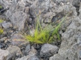 | Bulbostylis capillaris var. crebra Fernald | 1898 | C. H. Knowlton | Boston. |
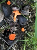 | Cantharellus cinnabarinus (Schwein.) Schwein. | 1898 | not recorded | Newton. |
 | Cantharellus infundibuliformis (Scop.) Fr. | 1898 | not recorded | Melrose. |
 | Cladonia coccifera (L.) Willd. | 1898 | Francis P Daniels | Cambridge |
 | Cladonia rangiferina (L.) Weber | 1898 | Francis P Daniels | Arlington Heights |
 | Cordyceps capitata (Holmsk.) Link | 1898 | Conant, [?] F. | Middlesex Fells |
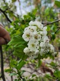 | Crataegus coccinea L. | 1898 | None | Harvard University Arboretum |
 | Ctenidium malacodes Mitt. | 1898 | not recorded | |
 | Acanthis flammea flammea (Linnaeus, 1758) | 1900 | ZAPPEY, W R | ROSLINDALE |
 | Acer carpinifolium Siebold & Zucc. | 1900 | A. K. Harrison | Harvard Botanic Garden, Cambridge. |
All 1,634 specimens within 10 miles, at the Global Biodiversity Information Facility.
Mines and quarries near this place
10 of 15 shownRegional context, not property-specific evidence. The federal mineral resources record lists 15 workings within 5 miles of Everett: 9 plants, 3 past producers, 2 producers, 1 unknown. 11 still produce. What was taken out: Stone, Crushed/Broken, Iron, Lead, Gypsum-Anhydrite. Distance is straight-line from the map coordinates, so a quarry counted here may appear on a neighbouring settlement's page as well.
| Where | Site | Commodity | Status | Recorded |
|---|---|---|---|---|
| (Facility) Vulcan Smelter--Chelsea, Ma. | Copper, Lead | Plant | ||
| C. J. Mabardy | Sand and Gravel, Construction | Past Producer | ||
| Syncor Prdts Co--Malden, Ma. | Silica | Plant | ||
| Us Gypsum Co--Boston | Gypsum-Anhydrite | Past Producer | ||
| Whittemore Prdts Inc--Boston | Perlite | Plant | ||
| (Facility) Cambridge Smelter Co | Lead | Plant | ||
| General Metals & Smelting--Boston | Lead | Plant | ||
| Industrial Serv. Centers--Cambridge | Iron | Plant | ||
| Somerville Smelting Co. | Lead | Plant | ||
| Us Steel Supply Div--Boston | Iron | Plant |
Storms near this place
22 since 1994Regional context, not property-specific evidence. The National Weather Service names Everett in 22 storm reports between 1994 and 2024: 9 thunderstorm wind, 7 flood, 4 hail, 1 lightning. No death or injury is recorded in these reports. Each account below is quoted exactly as the forecast office filed it, from the NOAA Storm Events Database, and each date opens the federal record of that event.
| When | Event | Place named | Harm | What the report says |
|---|---|---|---|---|
| June 2018 | Flood | West Everett | $15,000 | At 1:30 AM EST, Meridian Street in Malden was reported flooded and impassable with cars trapped in the flood waters. |
| July 2016 | Thunderstorm Wind | West Everett | $15,000 | Trees and wires were downed in several locations, including on Hanover Street. |
| August 2011 | Thunderstorm Wind | West Everett | $15,000 | Trees and power lines on Waite Street were downed by thunderstorm winds. |
| August 2008 | Flood | Everett | $15,000 | Heavy rain resulted in flooding and closed several roads in Everett. A 30 year old woman had to be rescued from her flooded out car by firefighters. When firefighters reached her, the car was flooded up to the bottoms of the windows. |
| August 2018 | Flood | East Everett | $5,000 | At 6:38 AM EST a car was trapped in floodwaters on Vale Street at Boston Street in Everett. |
| July 2016 | Thunderstorm Wind | East Everett | $5,000 | A tree on Avon Street was downed by thunderstorm winds. |
| July 2014 | Thunderstorm Wind | East Everett | $5,000 | Wires were downed by thunderstorm winds. |
| July 2014 | Thunderstorm Wind | West Everett | $5,000 | A tree on Kennedy Drive in Malden was downed by thunderstorm winds. |
| July 2014 | Thunderstorm Wind | West Everett | $5,000 | A tree was downed onto a house on Waite Street by thunderstorm winds. |
| June 2010 | Lightning | West Everett | $5,000 | Lightning struck the fire department headquarters, knocking out the communications equipment. |
| June 2008 | Thunderstorm Wind | East Everett | $1,000 | The siding was blown off a house due to thunderstorm winds. |
| June 2021 | Thunderstorm Wind | West Everett | $500 | In Everett, a tree was down on Hancock Street at Central Avenue. |
| August 2019 | Thunderstorm Wind | West Everett | $500 | In the western portion of Everett, a tree was down on Hancock Street. |
| January 2024 | Flood | East Everett | - | Places like Hopkinton and Holliston recieved 4.79 inches and 4.37 inches of rain respectively. In Everett Air Force Road was closed due to flooding at 10:50 PM EST. In Malden Broadway was impassable at 3:40 AM EST. |
| July 2023 | Flash Flood | East Everett | - | In Everett, there was flooding at 3rd St on the Chelsea line. Multiple vehicles were stranded due to flooding with trapped occupants. Water rescues were done. |
| July 2023 | Flood | West Everett | - | In Everett, Air Force Rd was closed due to flooding. |
| June 2018 | Flood | East Everett | - | At 1:03 AM EST, the area between the Everett Recreation Center and the Everett Police Department was reported flooded and impassable. |
| July 2017 | Flood | East Everett | - | At 631 PM EST, an amateur radio operator reported a car stuck in flood waters on Vale Street in Everett. Two people were rescued from the car. |
| July 1994 | Hail | Everett | - | Three-quarter- to one-inch hail was reported. |
| August 2015 | Hail | East Everett | - | no account filed |
| August 2014 | Hail | East Everett | - | no account filed |
| July 2012 | Hail | West Everett | - | no account filed |
Nearest settlements
The eight closest, with where each one stands in the county. Distances are straight-line, computed from the Geographic Names Information System coordinates.
| Map | Place | Distance | Sheets |
|---|---|---|---|
| Glendale | 0.5 miles | 46 | |
| West Everett | 0.5 miles | 46 | |
| Hendersonville | 0.7 miles | 46 | |
| Admirals Hill | 1.3 miles | 46 | |
| Malden | 1.3 miles | 46 | |
| Malden Centre | 1.4 miles | 46 | |
| Faulkner | 1.4 miles | 46 | |
| Wellington | 1.6 miles | 46 |
Elsewhere
Matched on this settlement's Geographic Names Information System number rather than its name, so it cannot be a different place of the same name in another state.
| Wikipedia article on Everett | An encyclopaedic summary. Its text is share-alike, so it is linked here rather than copied. |
| Wikidata item Q54151 | The structured record the population and elevation above come from. Public domain (CC0). |
Provenance
This settlement is recorded in the Geographic Names Information System as feature 612739. The sheet list is computed by point-in-boundary test against the United States Geological Survey's historical topographic inventory. Both are works of the United States government and carry no copyright under 17 U.S.C. 105.
Wildfire. Short, Karen C. 2022. Spatial wildfire occurrence data for the United States, 1992-2020 [FPA_FOD_20221014]. 6th Edition. Fort Collins, CO: Forest Service Research Data Archive. https://doi.org/10.2737/RDS-2013-0009.6 Collected with United States Government funding and usable without additional permissions or fees.
Specimens. Global Biodiversity Information Facility (GBIF), https://www.gbif.org/. Only records licensed CC0 or CC BY are used. Records licensed CC BY-NC are excluded because this site carries advertising. Images are checked individually and any whose licence is non-commercial, no-derivatives or unreadable is refused.
Mines and quarries. USGS Mineral Resources Data System (MRDS) https://mrdata.usgs.gov/mrds/ A work of the United States government, no copyright under 17 U.S.C. 105.
Storms. NOAA National Centers for Environmental Information, Storm Events Database https://www.ncei.noaa.gov/stormevents/ A work of the United States government, no copyright under 17 U.S.C. 105. Narratives are quoted verbatim from the National Weather Service report and are not edited or summarised.