 Block
Block
Fauser, Ohio
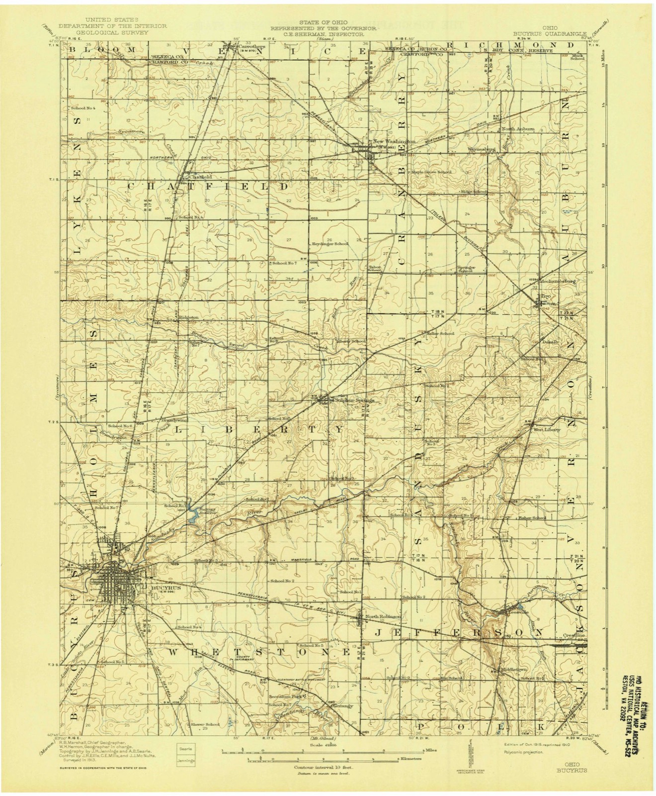
11 topographic sheets cover this place, the earliest surveyed in 1915 and the latest in 1994. It stands in Chatfield Township. It lies in ZIP code area 44820. The Survey maps it on the Chatfield quadrangle. The federal gazetteer marks this settlement historical: it is no longer a populated place, though the surveys that recorded it still are.
Then and now
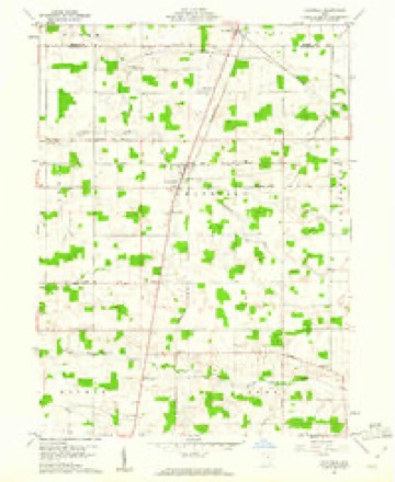
1915 to 1994The same ground, surveyed 79 years apart. Drag the handle to wipe between them. Both sheets are United States Geological Survey originals; neither has been altered.

Topographic sheets covering this place
11 sheetsMatched by testing this settlement's coordinate against the published boundary of every sheet in the United States Geological Survey's historical collection. Each opens the scanned sheet at the Survey.
- 1915 USGS Bucyrus quadrangle1:62500
- 1943 USGS Bucyrus quadrangle1:62500
- 1950 USGS Marion quadrangle1:250000
- 1960 USGS Chatfield quadrangle1:24000
- 1960 USGS Chatfield quadrangle1:24000
- 1962 USGS Marion quadrangle1:250000
- 1966 USGS Marion quadrangle1:250000
- 1966 USGS Marion quadrangle1:250000
- 1966 USGS Marion quadrangle1:250000
- 1986 USGS Mansfield quadrangle1:100000
- 1994 USGS Mansfield quadrangle1:100000







In the 1912 county history
8,582 words on this townshipThe county history of 1912 has no passage naming this settlement, which was common for the smaller places. Its township is covered in full.
The chapter on Chatfield Township covers the township.
Read the chapter on Chatfield Township - 8,582 words.
Specimens collected nearby
12 of 179 shownMuseums hold 179 specimens collected within 10 miles of Fauser (historical) between 1842 and 1973: 163 Animalia, 11 Plantae, 5 Fungi. 12 distinct Species records are shown. Collected by Beal, L. E., Benjamin, J. R., Chase, H. (Hazel) and others. Each is a physical object with a catalogue number, and each entry opens the museum's record. This is what was collected and kept, not a survey of what lives here - nothing can be concluded from a species being absent.
| Image | Species | Year | Collected by | Where, as recorded |
|---|---|---|---|---|
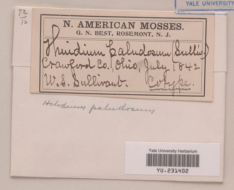 | Helodium paludosum (Austin) Austin ex Broth. | 1842 | William S. Sullivant | |
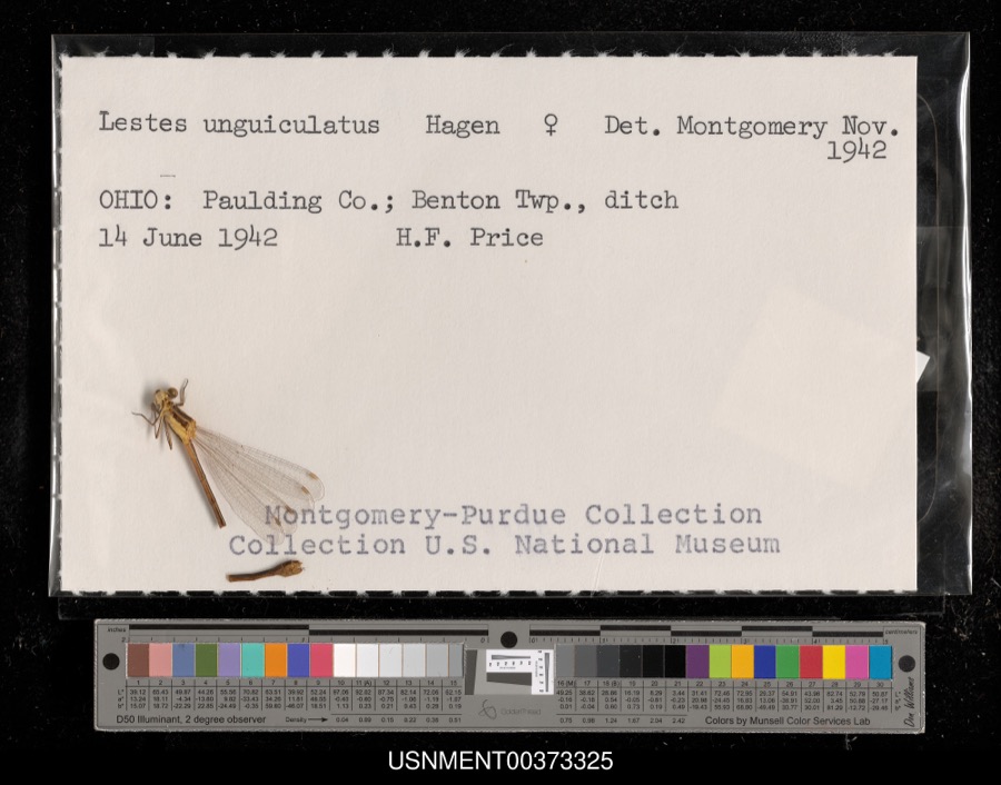 | Lestes unguiculatus Hagen, 1861 | 1942 | H. Price | Benton Township, ditch |
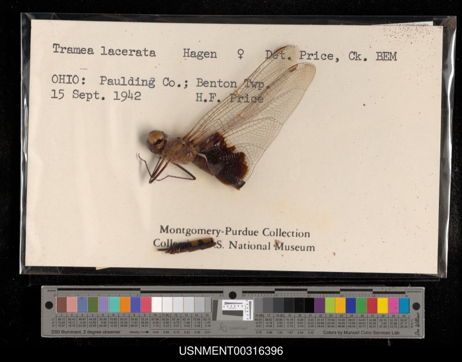 | Tramea lacerata Hagen, 1861 | 1942 | H. Price | Benton Township |
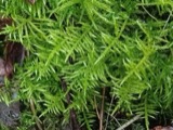 | Cirriphyllum piliferum (Hedw.) Grout | 1842 | W. S. Sullivant | |
 | Drepanocladus polycarpos (Blandow ex Voit) Warnst. | 1842 | W. S. Sullivant | |
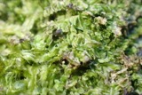 | Lophocolea heterophylla (Schrad.) Dumort. | 1844 | not recorded | |
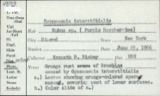 | Gymnoconia interstitialis (Schltdl.) Lagerh. | 1906 | Hieber Christina | Bucyrus |
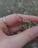 | Puccinia chrysanthemi Roze | 1922 | Orewiler Henry | Tiro |
 | Lythrurus umbratilis (Girard, 1856) | 1929 | MB Trautman | Sandusky River, NE corner of Bucyrus Twp |
 | Orconectes rusticus (Girard, 1852) | 1930 | E. Wichliff | Bucyrus Fish Hatchery |
 | Hyla versicolor LeConte, 1825 | 1931 | Conant, R. (Roger) | W. of Bucyrus, Crawford Co., Ohio |
 | Antennaria parlinii subsp. fallax (Greene) R.J.Bayer & Stebbins | 1932 | Leslie L Pontius; Floyd Bartley | Benton |
All 179 specimens within 10 miles, at the Global Biodiversity Information Facility.
Nearest settlements
The eight closest, with where each one stands in the county. Distances are straight-line, computed from the Geographic Names Information System coordinates.
| Map | Place | Distance | Sheets |
|---|---|---|---|
| Ridgeton | 1.5 miles | 11 | |
| Chatfield | 2.0 miles | 11 | |
| Brandywine | 3.8 miles | 13 | |
| Broken Sword | 4.2 miles | 10 | |
| Sulphur Springs | 4.8 miles | 13 | |
| Lykens | 5.1 miles | 10 | |
| New Washington | 5.4 miles | 11 | |
| Spore | 6.6 miles | 11 |
Provenance
This settlement is recorded in the Geographic Names Information System as feature 1063646. The sheet list is computed by point-in-boundary test against the United States Geological Survey's historical topographic inventory. Both are works of the United States government and carry no copyright under 17 U.S.C. 105.
Specimens. Global Biodiversity Information Facility (GBIF), https://www.gbif.org/. Only records licensed CC0 or CC BY are used. Records licensed CC BY-NC are excluded because this site carries advertising. Images are checked individually and any whose licence is non-commercial, no-derivatives or unreadable is refused.