BlockBefore
Decorative drawing: a county panorama. Not a photograph of this place.

Crawford County, Ohio

50 topographic sheets and 27 fire insurance atlases across 4 places.

Research this county

This curated hub for Crawford County, Ohio brings together the page's documented record links, visible map or image evidence where published, and routes to related local records.

What is documented here?

Use the page's provenance and linked records to distinguish the source material from the site's navigation and summaries.

How should I cite it?

Open the original record, preserve its repository and identifier, then use the citation tool for this page as a path back to the source.

Where should I go next?

Follow the county or state hub for related places and records, then use the guide for a source-aware research sequence.

From the record

25 National Register listings · 75 businesses named in the fire insurance atlases from 1887 to 1921 · the 1912 county history tells 2 stories and names 0 people.

Sources: the county history on the Internet Archive · the National Register database, National Park Service

Ohio within the United States
Crawford County within Ohio
Explore by year 1850 1989

What the record shows

  • 4 places in this county were surveyed for fire insurance: Bucyrus, Crestline, Galion, New Washington, between 1884 and 1950.
  • 27 fire insurance atlas(es) survive for the county. Topographic coverage is national; fire insurance survey reached only incorporated places with something worth insuring.
  • 452 topographic sheet readings cover the county's settlements.
  • 25 properties here are on the National Register of Historic Places, including 10 houses and farms.
  • 15 of the 25 listings were added during the 1970s.
  • The Geographic Names Information System records 38 populated places in this county; 0 are covered by at least one topographic sheet.
  • 4 public-domain county histories, 1881 to 1912, supply 392,743 words of narrative reproduced here in full.

What happened here

2 accounts

A captivity, a drowning, a famine, a man scalped clearing his lot in 1789. These are passages from History of Crawford County, Ohio, and Representative Citizens, written while people who remembered the events were still alive, and each one opens the section it comes from.

1912, Lykens Township

Biographical Sketches

Perky's sons were among the pcatriotic young men who hastened to the defense of their country when her flag was insulted by traitorous hands. John enlisted in Co. G, 25th O. V. I., and served three yeai's, coming home uninjured. In 1862. Lewis and Franklin entered Company H, 55th O. V. I. Lewis was killed at the battle of Kosaca, Ga., and his ashes now repose in the National cemetery at Chattanooga, Tonn.

Read the rest of this passage

1912, Lykens Township

Biographical Sketches

Perky's sons were among the patriotic young men who hastened to the defense of their country when her flag was insulted by traitorous hands. John enlisted in Co. G, 25th O. V. I., and served three years, coming home uninjured. In 18(32, Lewis and Franklin entered Company H, 55th O. V. I. Lewis was killed at the battle of Resaca, Ga., and his ashes now repose in the National cemetery at Chattanooga, Tenn.

Read the rest of this passage

Photographs

13 photographs, 1907 to 2016

Taken for the Office of War Information and the Farm Security Administration, who photographed the country between 1935 and 1944. Works of United States government photographers, with no known restriction on use. Each opens its catalogue record.

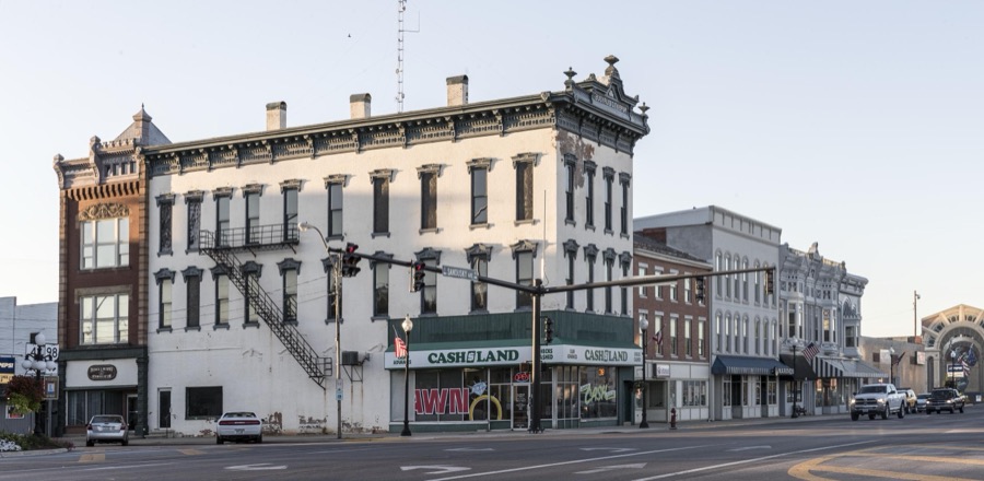
A portion of downtown Bucyrus, Ohio
Highsmith, Carol M, 2016. Library of Congress
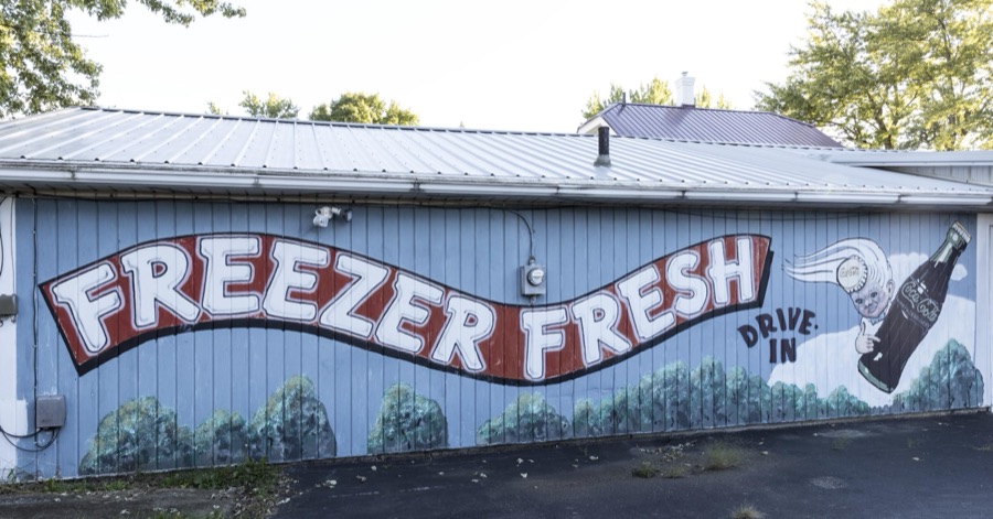
Sign for a drive-in sign along the old Lincoln Highway in Bucyrus, a small city in central Ohio that lies along the historic, originally two-lane, highway that was the first U.S. highway, numbered U.S. 30 in much of its route, to cross the entire United States in the 1930s
Highsmith, Carol M, 2016. Library of Congress
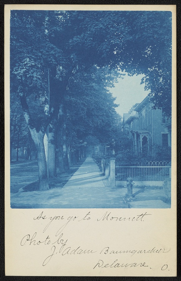
As you go to Monnett
Unattributed, 1907. Library of Congress
The Hopley Monument in Bucyrus, a small city in central Ohio that lies along the historic, originally two-lane, highway  that was the first U.S. roadway, numbered U.S. 30 in much of its route, to cross the entire United States in the 1930s
The Hopley Monument in Bucyrus, a small city in central Ohio that lies along the historic, originally two-lane, highway that was the first U.S. roadway, numbered U.S. 30 in much of its route, to cross the entire United States in the 1930s
Highsmith, Carol M, 2016. Library of Congress
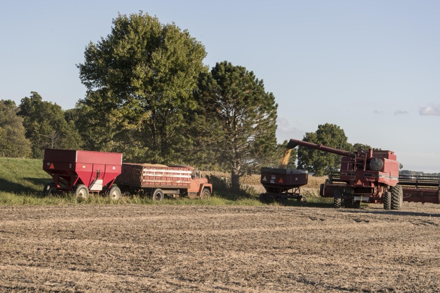
Autumn soybean-harvesting time in Crawford County, Ohio, near Bucyrus
Highsmith, Carol M, 2016. Library of Congress
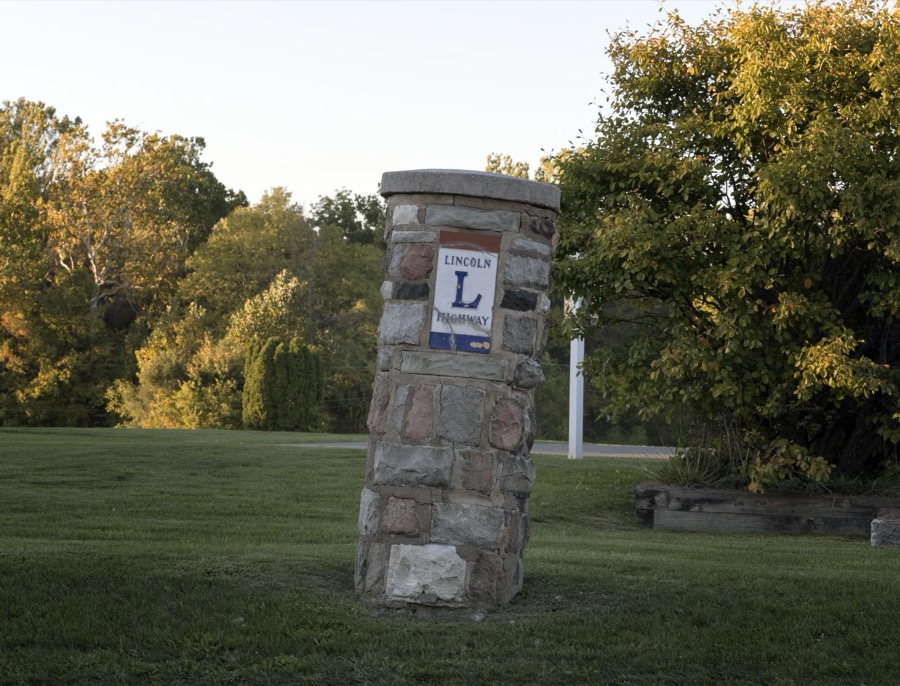
A now (2016) cockeyed stone monument honoring the old Lincoln Highway that passes through Bucyrus, a small city in  central Ohio
A now (2016) cockeyed stone monument honoring the old Lincoln Highway that passes through Bucyrus, a small city in central Ohio
Highsmith, Carol M, 2016. Library of Congress
The 2001 "Liberty Remembers Our Veterans" mural in Bucyrus, Ohio, was created by Eric Grohe of Marysville, Washington
Highsmith, Carol M, 2016. Library of Congress
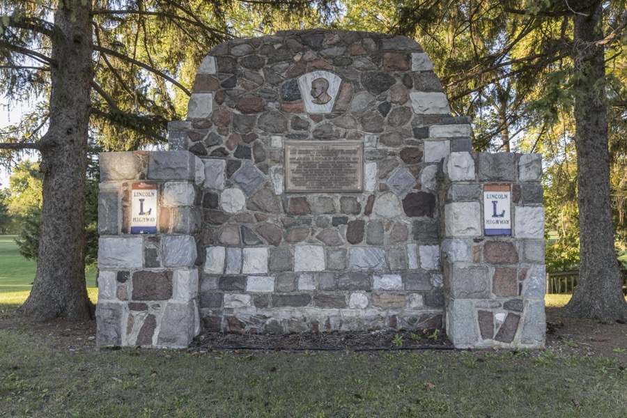
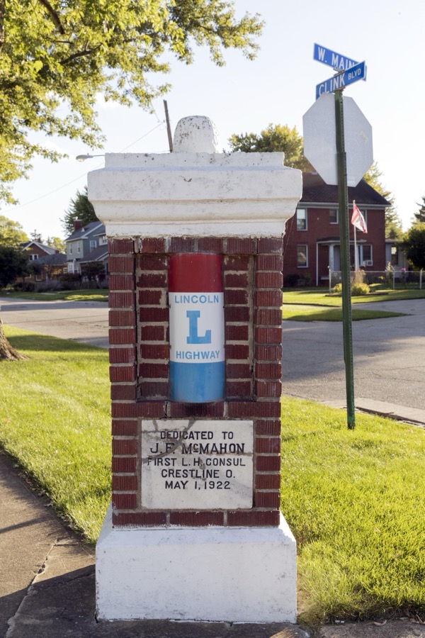
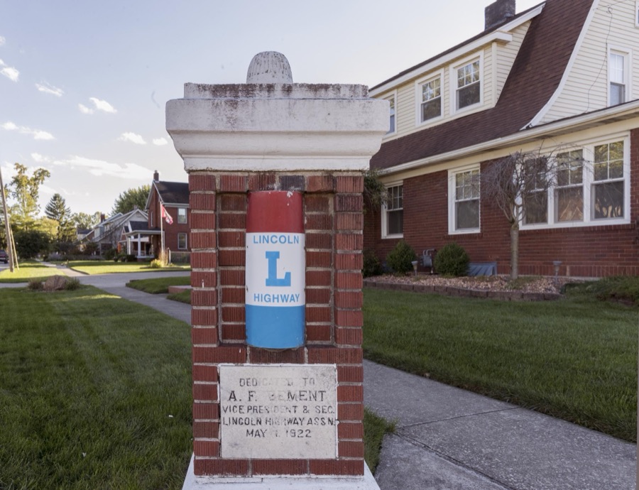
One of two adjacent Lincoln Highway-designation pillars in Bucyrus, a small city in central Ohio that lies along the historic, originally two-lane, highway that was the first U.S. roadway, numbered U.S. 30 in much of its route, to cross the entire United States in the 1930s
Highsmith, Carol M, 2016. Library of Congress
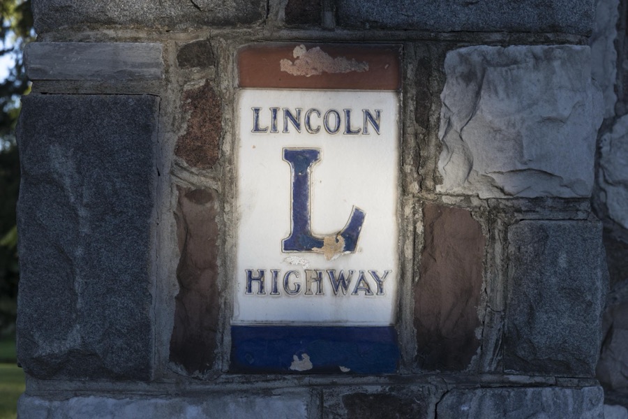
Lincoln Highway emblem embedded in the Hopley Monument in Bucyrus, a small city in central Ohio that lies along the historic, originally two-lane, highway that was the first U.S. roadway, numbered U.S. 30 in much of its route, to cross the entire United States in the 1930s
Highsmith, Carol M, 2016. Library of Congress
One of two adjacent Lincoln Highway-designation pillars in Bucyrus, a small city in central Ohio that lies along the historic, originally two-lane, highway that was the first U.S. roadway, numbered U.S. 30 in much of its route, to cross the entire United States in the 1930s
Highsmith, Carol M, 2016. Library of Congress
Autumn soybean-harvesting time in Crawford County, Ohio, near Bucyrus
Highsmith, Carol M, 2016. Library of Congress
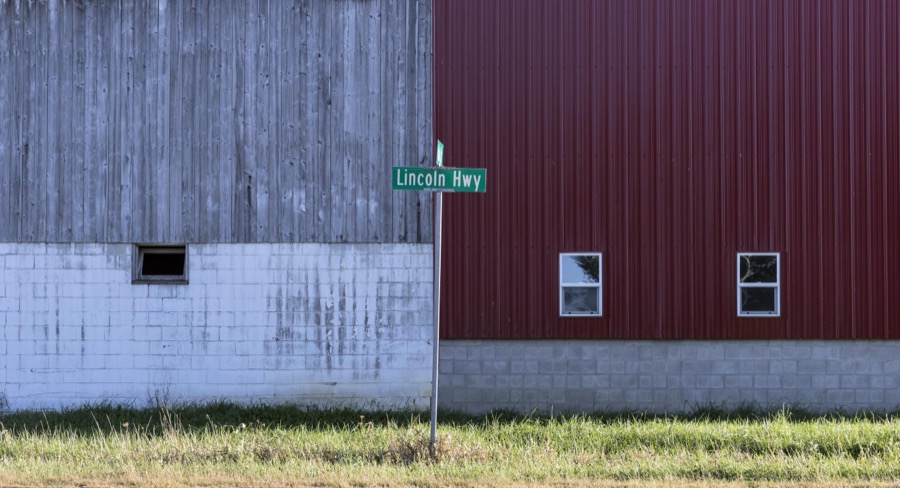
A road sign designating the old Lincoln Highway next to a barn outside Bucyrus, a small city in central Ohio that lies along the historic, originally two-lane, roadway that was the first U.S. highway, numbered U.S. 30 in much of its route, to cross the entire United States in the 1930s
Highsmith, Carol M, 2016. Library of Congress
The "Great American Crossroads Mural" in Bucyrus, Ohio's, Millennium Park, was created in 1999 by Eric Grohe of Marysville, Washington
Highsmith, Carol M, 2016. Library of Congress

Places on the National Register

25

Every property in this county listed on the National Register of Historic Places, with the year it was listed and the federal nomination document.

Photograph PropertyType ListedReference
Beer, Judge Thomas, Housebuilding198080002968
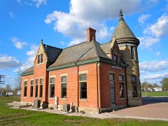
Big Four Depotbuilding197575001350
Blair, Herbert S., Housebuilding198080002969
Brownella Cottage and Grace Episcopal Church and Rectorybuilding198080002975
Bucyrus Mausoleumbuilding198080002970
Central Hotel, Hackedorn and Zimmerman Buildingbuilding197676001386
Chesney, Dr. John, Housebuilding198080002971
Crawford, Col. William, Capture Sitesite197979002812
Crestline City Hallbuilding197474001427
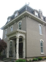
Harris, Stephen R., Housebuilding198080002972
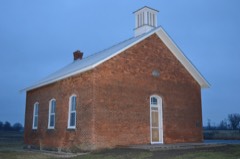
Harvey One-Room Schoolbuilding201010000083
Heckler Farmhousebuilding197676001385
Hoffman Housebuilding197878002030
Hosford Housebuilding197676001387
Howard, Adam, Housebuilding197878002032
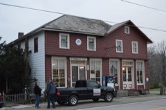
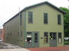
J & M Trading Postbuilding197979002811
J & M Trading Post - Annexbuilding197979002809
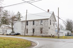
Leesville Town Hallbuilding197979002810
McGraw Housebuilding197575001349
Methodist Episcopal Churchbuilding197878002031
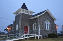
Monnett Memorial M. E. Chapelbuilding198686003494
Picking, D., And Companybuilding197474001425
Scroggs Housebuilding197474001426
Smith Road Bridgestructure198080002973
Toledo and Ohio Central Depotbuilding198080002974

Covered bridges

0

Crawford County holds 0 covered bridges on the National Register, more than any other property type here. Each is a listed structure with a federal nomination on file.

Digitised newspapers

11 issues

Sampled issues, machine-read from the Library of Congress scan and published page by page, so every headline and column is searchable text.

Crestline Advocate

Crestline, Ohio, 1869 to Current. Machine-read from the Library of Congress scan.

The Bucyrus Evening Telegraph

Bucyrus, Ohio, 1894 to 1923. Machine-read from the Library of Congress scan.

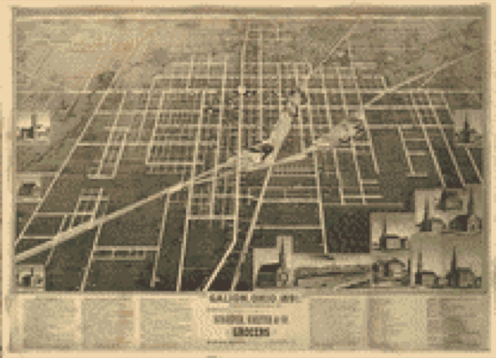
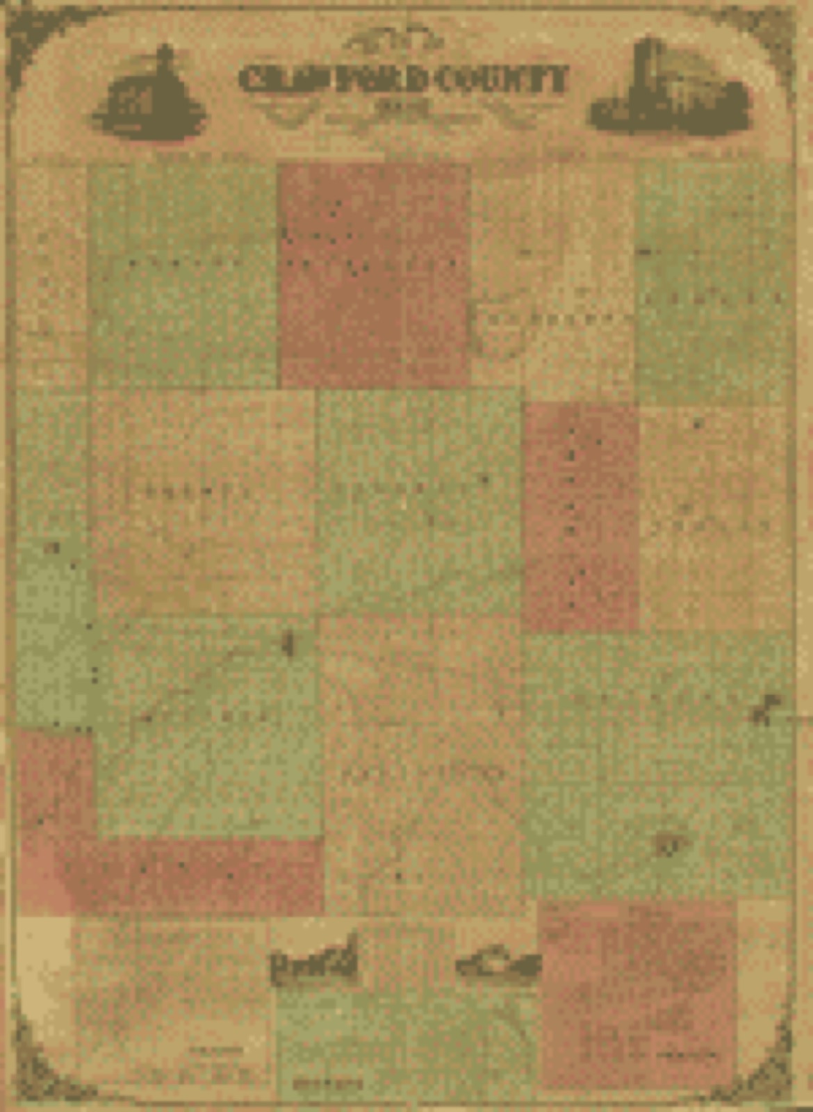
Bird's-eye views and land ownership maps

3

Drawn when these were printed as single large sheets: the town seen from the air, and the county divided into its farms with every owner named. Each opens the original at the Library of Congress.

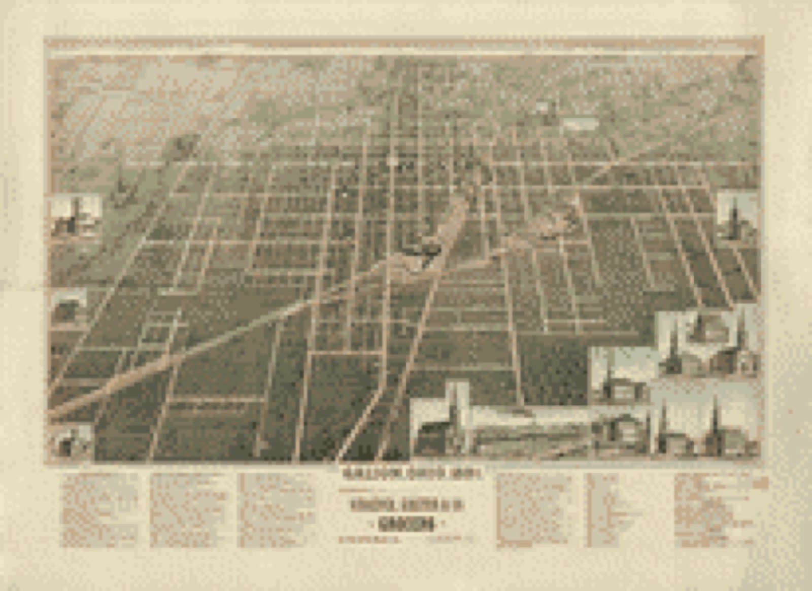
Bird's-eye view, 1891 - Galion, Ohio, 1891
Bird's-eye view (1891) - Galion, Ohio, 1891. Library of Congress.
Bird's-eye view, 1989 - Galion, Ohio, 1891
Bird's-eye view (1989) - Galion, Ohio, 1891. Library of Congress.
Land ownership map, 1850 - Map of Crawford County, Ohio
Land ownership map (1850) - Map of Crawford County, Ohio. Library of Congress.

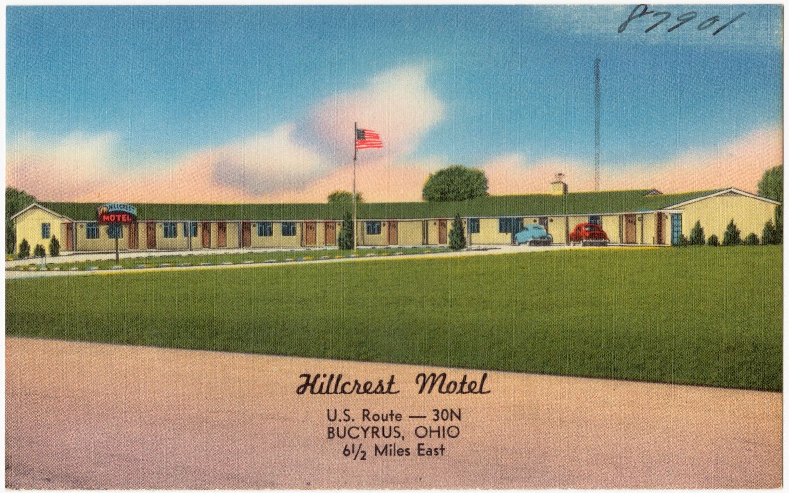
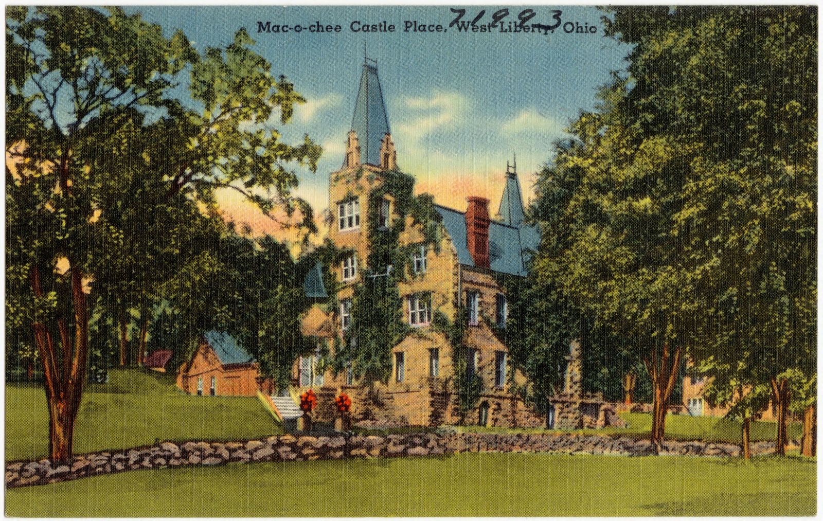
Photographs from libraries nationwide

2 of 11 shown

Selected from the Digital Public Library of America's 11 image records catalogued for this county. Every one shown here carries a public-domain status or a licence that permits reuse on a site that carries advertising; non-commercial, share-alike and restricted images are excluded. The selection is spread across the county's towns (at most eight per town), so no single institution's bulk upload crowds out the rest. Each opens the holding library's record, and the complete set at the Digital Public Library of America is one click away.

Hillcrest Motel, U.S. Route -- 30N, Bucyrus, Ohio, 6 1/2 miles east, Boston Public Library - undated
Hillcrest Motel, U.S. Route -- 30N, Bucyrus, Ohio, 6 1/2 miles east. Boston Public Library, via the Digital Public Library of America.
Mac-o-chee Castle Place, West Liberty, Ohio, Boston Public Library - undated
Mac-o-chee Castle Place, West Liberty, Ohio. Boston Public Library, via the Digital Public Library of America.

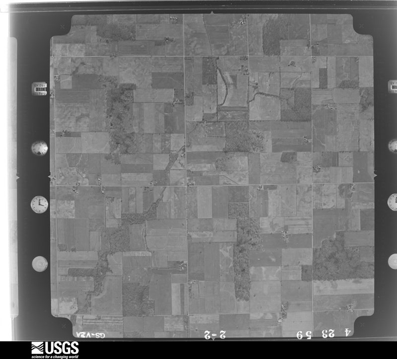
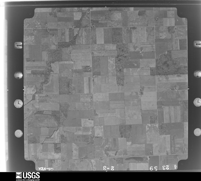
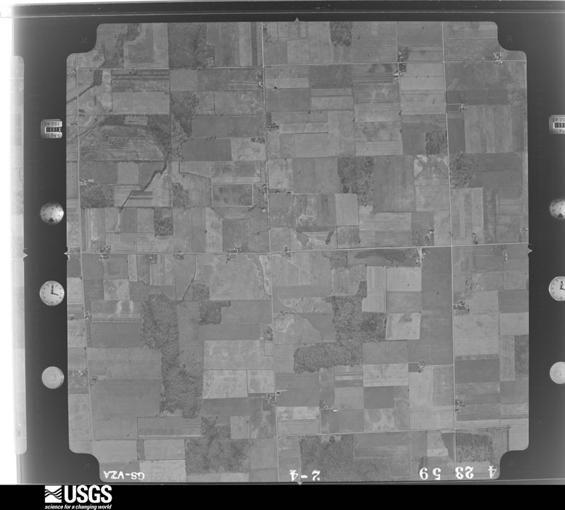
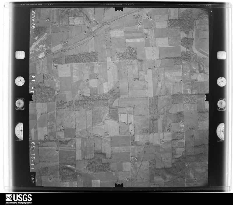
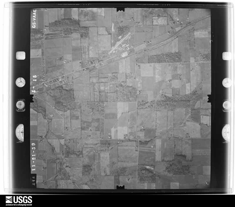
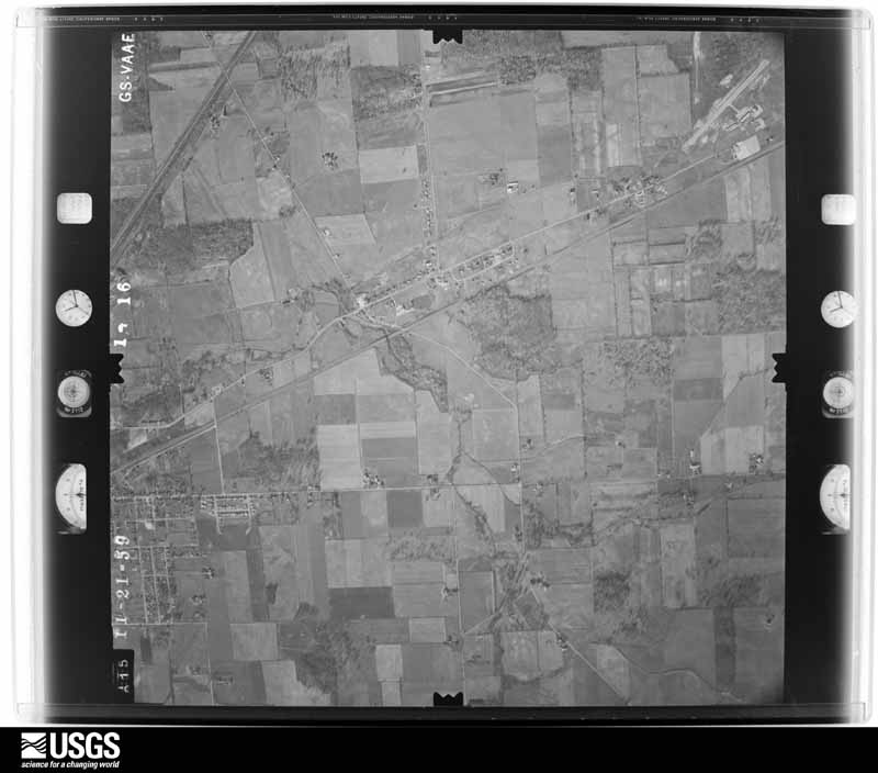
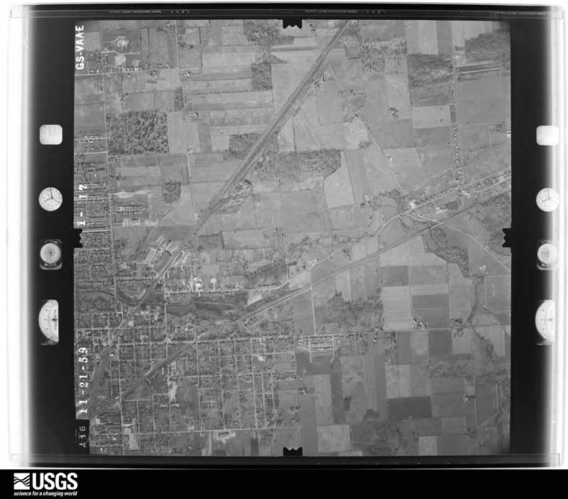
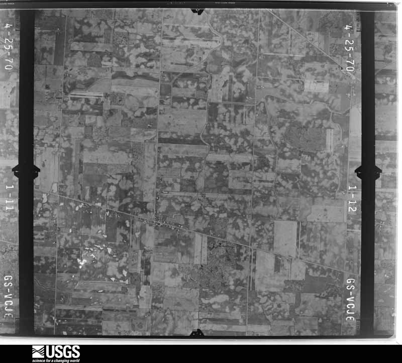
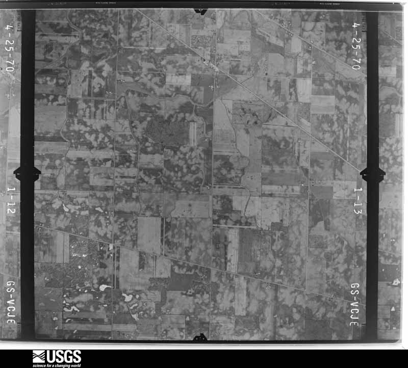
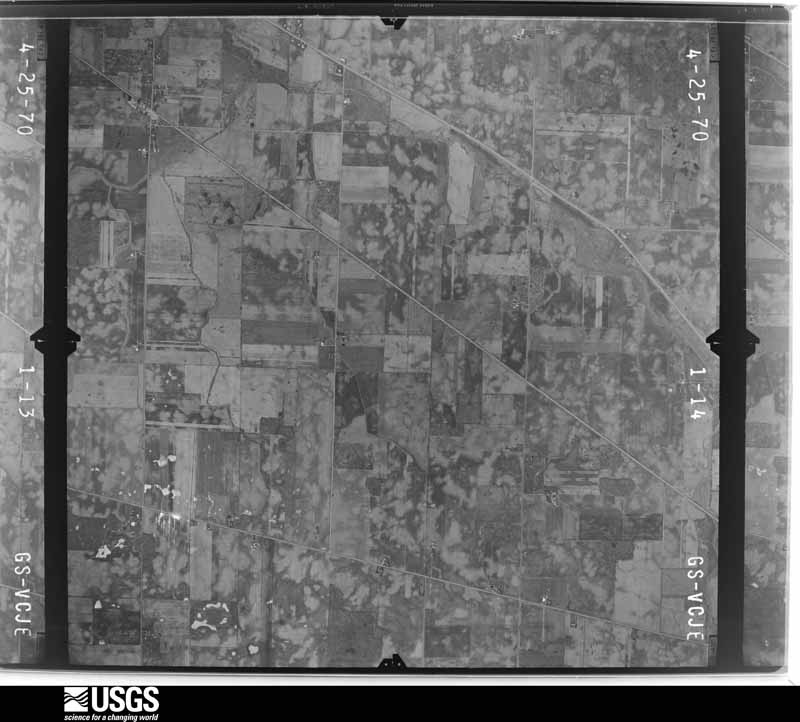
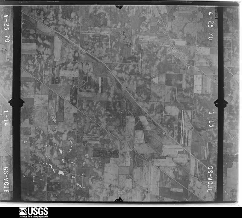
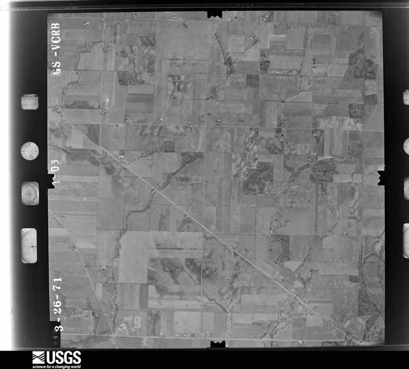
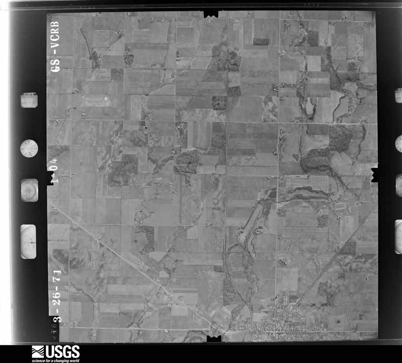
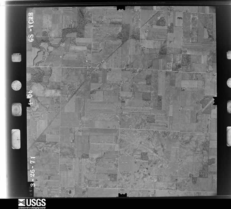
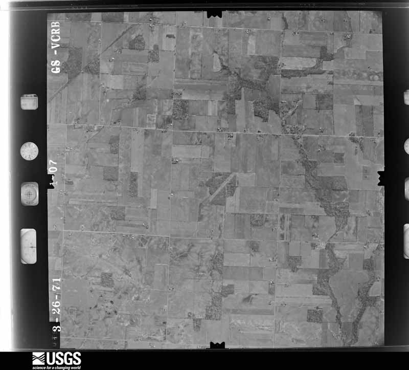
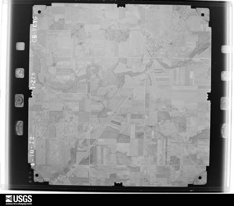
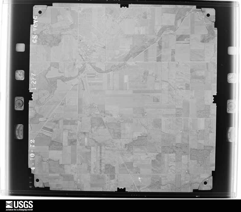
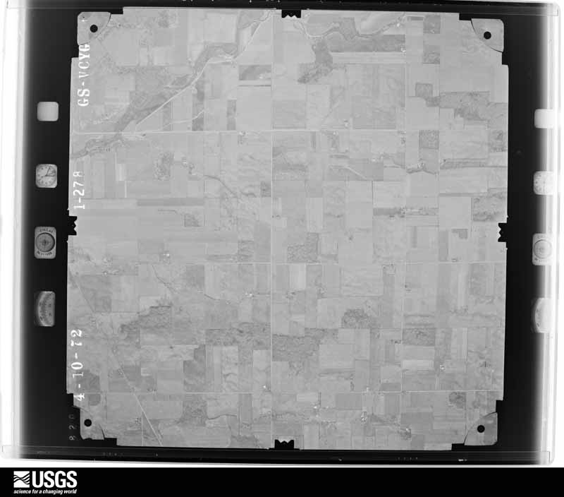
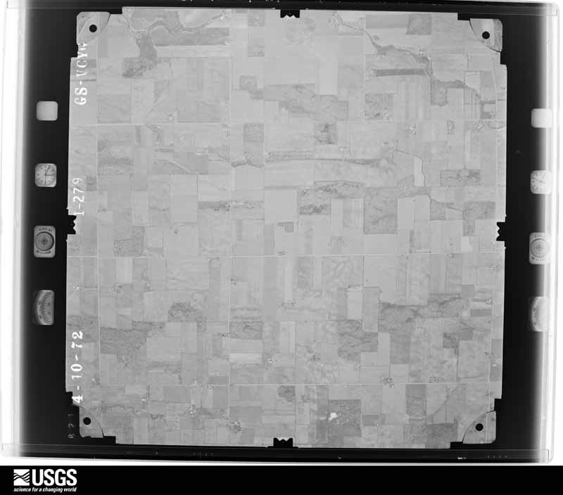
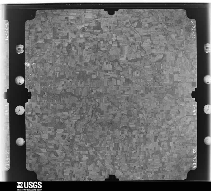
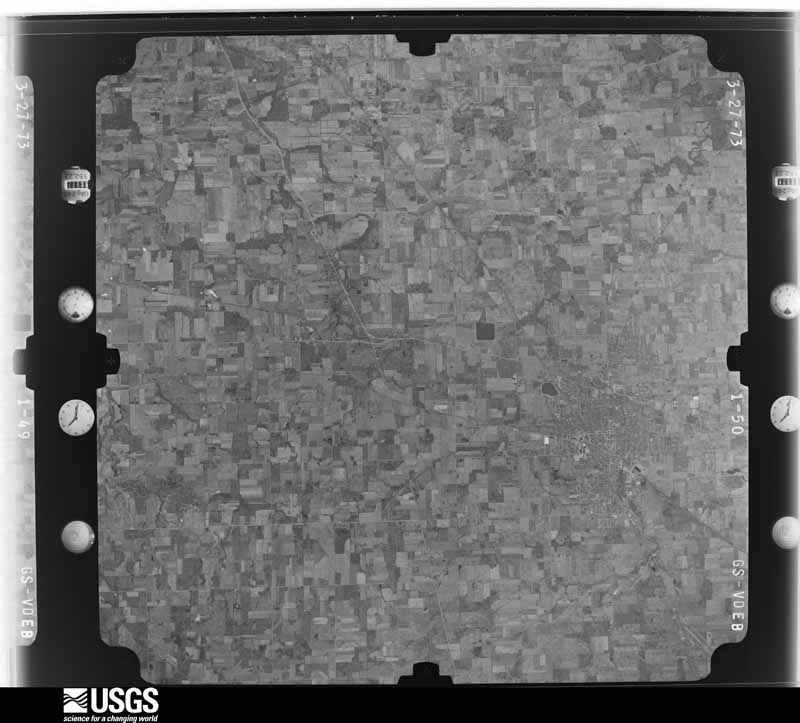
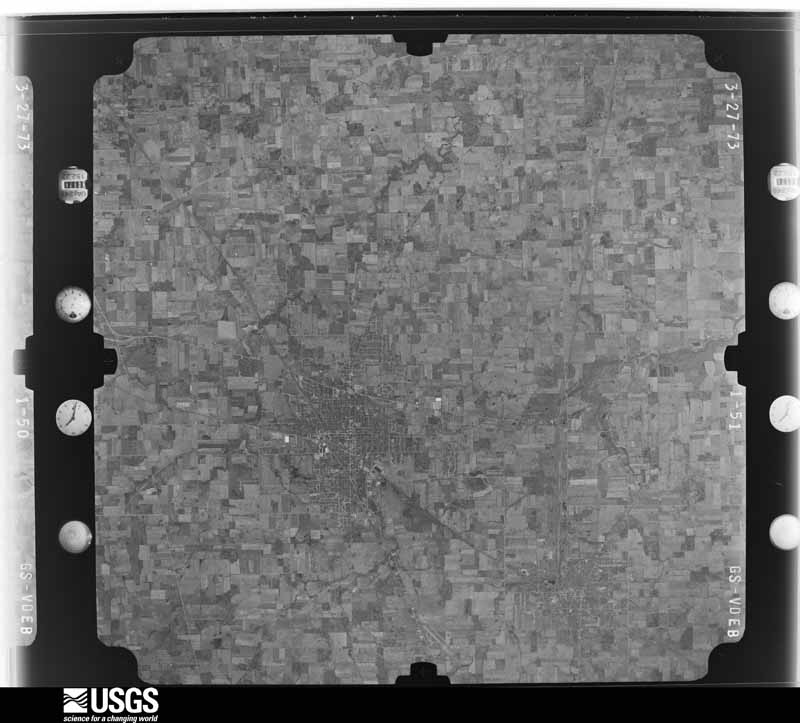
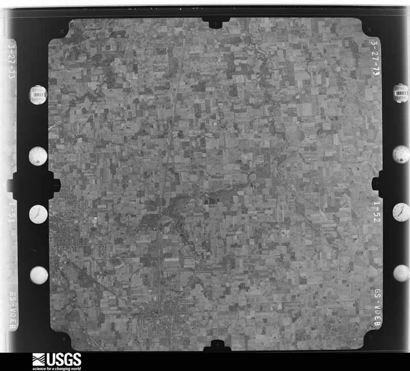
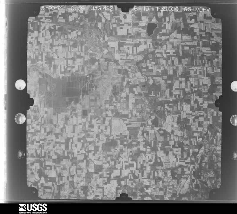
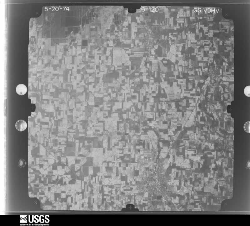
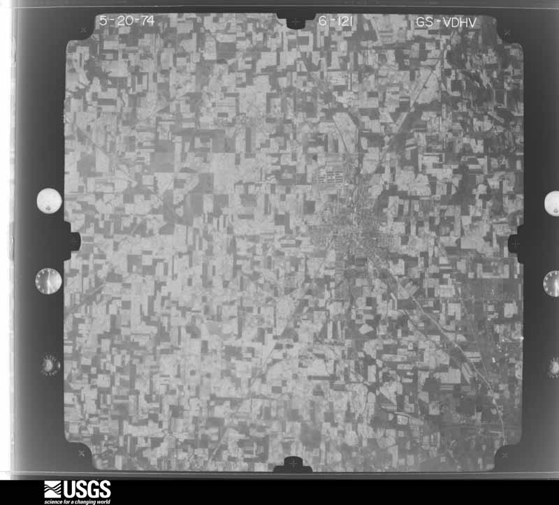
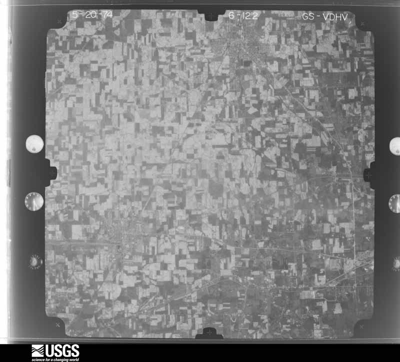
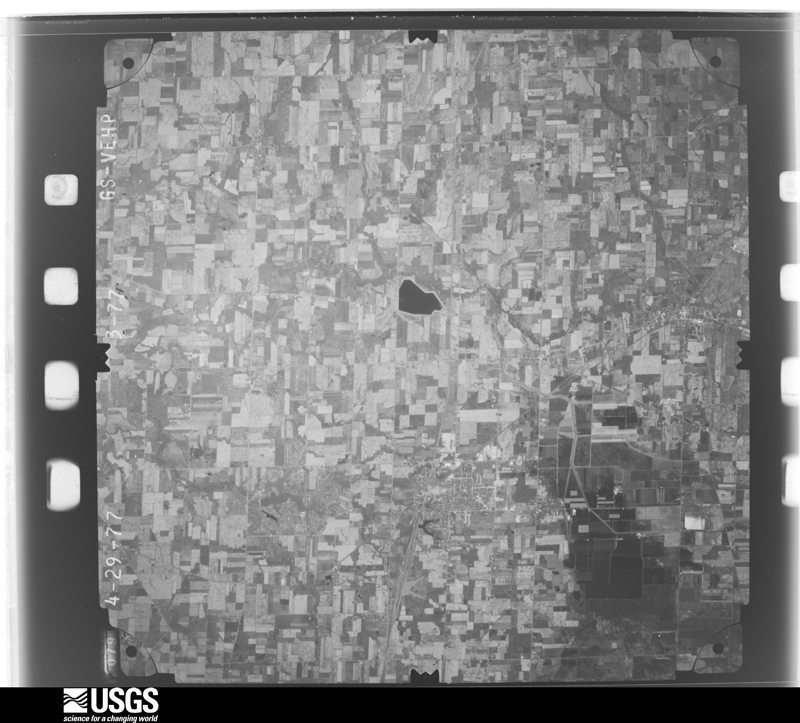
The county from the air

32 of 530 shown

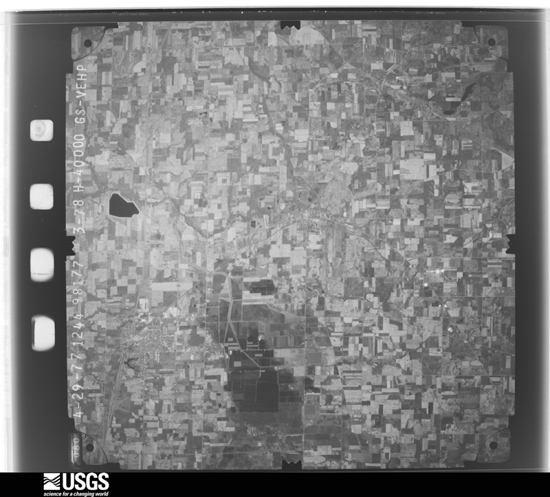
Flown by the U.S. Geological Survey between 1937 and 1989, the Aerial Photo Single Frames collection is the definitive mid-century view of the land: fields, roads and rivers as the camera saw them. 530 frames touch this county; the selection below spreads across the decades of flights (at most four per year), so one flight cannot crowd out the rest. The full set is free to browse and download at EarthExplorer under the dataset Aerial Photo Single Frames.

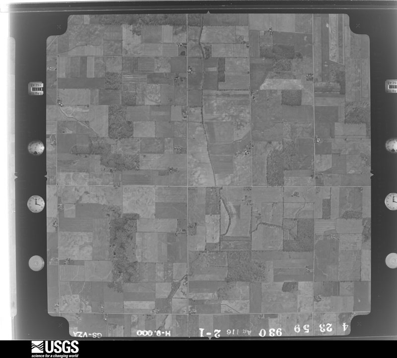
U.S. Geological Survey aerial photograph, 1959-04-23, scale 1:18000
1959-04-23, scale 1:18000. U.S. Geological Survey aerial photograph.
U.S. Geological Survey aerial photograph, 1959-04-23, scale 1:18000
1959-04-23, scale 1:18000. U.S. Geological Survey aerial photograph.
U.S. Geological Survey aerial photograph, 1959-04-23, scale 1:18000
1959-04-23, scale 1:18000. U.S. Geological Survey aerial photograph.
U.S. Geological Survey aerial photograph, 1959-04-23, scale 1:18000
1959-04-23, scale 1:18000. U.S. Geological Survey aerial photograph.
U.S. Geological Survey aerial photograph, 1960-04-12, scale 1:17000
1960-04-12, scale 1:17000. U.S. Geological Survey aerial photograph.
U.S. Geological Survey aerial photograph, 1960-04-12, scale 1:17000
1960-04-12, scale 1:17000. U.S. Geological Survey aerial photograph.
U.S. Geological Survey aerial photograph, 1960-04-12, scale 1:17000
1960-04-12, scale 1:17000. U.S. Geological Survey aerial photograph.
U.S. Geological Survey aerial photograph, 1960-04-12, scale 1:17000
1960-04-12, scale 1:17000. U.S. Geological Survey aerial photograph.
U.S. Geological Survey aerial photograph, 1970-07-16, scale 1:24000
1970-07-16, scale 1:24000. U.S. Geological Survey aerial photograph.
U.S. Geological Survey aerial photograph, 1970-07-16, scale 1:24000
1970-07-16, scale 1:24000. U.S. Geological Survey aerial photograph.
U.S. Geological Survey aerial photograph, 1970-07-16, scale 1:24000
1970-07-16, scale 1:24000. U.S. Geological Survey aerial photograph.
U.S. Geological Survey aerial photograph, 1970-07-16, scale 1:24000
1970-07-16, scale 1:24000. U.S. Geological Survey aerial photograph.
U.S. Geological Survey aerial photograph, 1971-03-26, scale 1:24000
1971-03-26, scale 1:24000. U.S. Geological Survey aerial photograph.
U.S. Geological Survey aerial photograph, 1971-03-26, scale 1:24000
1971-03-26, scale 1:24000. U.S. Geological Survey aerial photograph.
U.S. Geological Survey aerial photograph, 1971-03-26, scale 1:24000
1971-03-26, scale 1:24000. U.S. Geological Survey aerial photograph.
U.S. Geological Survey aerial photograph, 1971-03-26, scale 1:24000
1971-03-26, scale 1:24000. U.S. Geological Survey aerial photograph.
U.S. Geological Survey aerial photograph, 1972-05-05, scale 1:24000
1972-05-05, scale 1:24000. U.S. Geological Survey aerial photograph.
U.S. Geological Survey aerial photograph, 1972-05-05, scale 1:24000
1972-05-05, scale 1:24000. U.S. Geological Survey aerial photograph.
U.S. Geological Survey aerial photograph, 1972-05-05, scale 1:24000
1972-05-05, scale 1:24000. U.S. Geological Survey aerial photograph.
U.S. Geological Survey aerial photograph, 1972-05-05, scale 1:24000
1972-05-05, scale 1:24000. U.S. Geological Survey aerial photograph.
U.S. Geological Survey aerial photograph, 1973-10-01, scale 1:76000
1973-10-01, scale 1:76000. U.S. Geological Survey aerial photograph.
U.S. Geological Survey aerial photograph, 1973-10-01, scale 1:76000
1973-10-01, scale 1:76000. U.S. Geological Survey aerial photograph.
U.S. Geological Survey aerial photograph, 1973-10-01, scale 1:76000
1973-10-01, scale 1:76000. U.S. Geological Survey aerial photograph.
U.S. Geological Survey aerial photograph, 1973-10-01, scale 1:76000
1973-10-01, scale 1:76000. U.S. Geological Survey aerial photograph.
U.S. Geological Survey aerial photograph, 1974-05-01, scale 1:76000
1974-05-01, scale 1:76000. U.S. Geological Survey aerial photograph.
U.S. Geological Survey aerial photograph, 1974-05-01, scale 1:76000
1974-05-01, scale 1:76000. U.S. Geological Survey aerial photograph.
U.S. Geological Survey aerial photograph, 1974-05-01, scale 1:76000
1974-05-01, scale 1:76000. U.S. Geological Survey aerial photograph.
U.S. Geological Survey aerial photograph, 1974-05-01, scale 1:76000
1974-05-01, scale 1:76000. U.S. Geological Survey aerial photograph.
U.S. Geological Survey aerial photograph, 1977-04-01, scale 1:80000
1977-04-01, scale 1:80000. U.S. Geological Survey aerial photograph.
U.S. Geological Survey aerial photograph, 1977-04-01, scale 1:80000
1977-04-01, scale 1:80000. U.S. Geological Survey aerial photograph.
U.S. Geological Survey aerial photograph, 1977-04-01, scale 1:80000
1977-04-01, scale 1:80000. U.S. Geological Survey aerial photograph.
U.S. Geological Survey aerial photograph, 1977-04-01, scale 1:80000
1977-04-01, scale 1:80000. U.S. Geological Survey aerial photograph.

City directories

3 volumes

The "who lived here, by year" answer: pre-1929 public-domain directory volumes naming the county's people, machine-read and searchable as text.

Weather records

12 stations, 3 gages

The thermometers that kept this county's weather, and the gages that watched its rivers, as the federal records hold them. The extremes below are measured values from those records, not estimates.

The 1950 census, district by district

58 districts

Who lived here in 1950, one enumeration district at a time, as the Census Bureau described each district. Each row opens its official National Archives result, with Population Schedules and ED Maps available there.

  • 17-1Auburn township: Tiro village
  • 17-2Auburn township - That part outside Tiro village
  • 17-3Bucyrus city, comprising parts of Bucyrus, Holmes and Whetstone townships: Bucyrus city - That part of Ward 1 in Bucyrus township Bounded by Township line; City limits; Sandusky River; Sandusky Ave.
  • 17-4Bucyrus city - That part of Ward 1 in Bucyrus township Bounded by Sandusky River, City limits; Township line; Pittsburgh, Fort Wayne and Chicago Railway; Walnut
  • 17-5Bucyrus city - That part of Ward 1 in Bucyrus township Bounded by Pittsburgh, Fort Wayne and Chicago Railway; Township line; Warren; Walnut
  • 17-6Bucyrus city - That part of Ward 2 in Bucyrus township Bounded by Warren; Township line; City limits; Toledo and Ohio Central Railway
  • 17-7Bucyrus city - That part of Ward 2 in Bucyrus township Bounded by Warren; Toledo and Ohio Central Railway; City limits; Pennsylvania Railroad, Oakwood Ave., Prospect, Woodlawn Ave., Walnut
  • 17-8Bucyrus city - That part of Ward 2 in Bucyrus township Bounded by Woodlawn Ave.; Prospect, Oakwood Ave., Pennsylvania Railroad; East
  • 17-9Bucyrus city - That part of Ward 2 in Bucyrus township Bounded by Woodlawn Ave.; East, Pennsylvania Railroad; City limits; Walnut
  • 17-10Bucyrus city - That part of Ward 3 in Bucyrus township Bounded by Warren; Walnut, City limits; City limits; City limits, Sandusky Ave.
  • 17-11Bucyrus city - That part of Ward 3 in Bucyrus township Bounded by Warren; Sandusky Ave.; City limits; City limits, Marion, Poplar
  • 17-12Bucyrus city - That part of Ward 3 in Bucyrus township Bounded by Warren; Poplar; Marion; City limits, Southern Ave., Kaler Ave., Charles, Spring
  • 17-13Bucyrus city - That part of Ward 3 in Bucyrus township Bounded by Warren; Spring, Charles, Kaler Ave.; Southern Ave., City limits; City limits
  • 17-14Bucyrus city - That part of Ward 4 in Bucyrus township Bounded by City limits, Township line; Sandusky Ave., Sandusky River, Walnut; Mary, Mansfield; City limits
  • 17-15Bucyrus city - That part of Ward 4 in Bucyrus township Bounded by Mansfield, Mary; Walnut; Warren, Ward line; City limits
  • 17-16Bucyrus city - That part of Ward 1 in Holmes township Bounded by City limits; City limits; City limits, Township line; Sandusky Ave.
  • 17-17Bucyrus city - That part of Ward 4 in Holmes township Bounded by City limits; Sandusky Ave.; Township line; City limits
  • 17-18Bucyrus city - That part of Ward 1 in Whetstone township Bounded by City limits; City limits; Ward line; Township line
  • 17-19Bucyrus city - That part of Ward 2 in Whetstone township Bounded by Ward line; City limits; City limits; Township line
  • 17-20Bucyrus township - That part outside Bucyrus city (Remainder of Bucyrus township is in Bucyrus city)
  • 17-21Chatfield township Chatfield village
  • 17-22Chatfield township - That part outside Chatfield village
  • 17-23Cranberry township: New Washington village
  • 17-24Cranberry township - That part outside New Washington village
  • 17-25Dallas township
  • 17-26Galion city: Galion city - That part of Ward 1 Bounded by City limits; City limits; Erie Railroad; New York Central Railroad
  • 17-27Galion city - That part of Ward 1 Bounded by Erie Railroad; East, Dawset Ave., City limits; City limits; New York Central Railroad
  • 17-28Galion city - That part of Ward 1 Bounded by Erie Railroad; City limits; City limits, Dawset Ave.; East
  • 17-29Galion city - That part of Ward 2 Bounded by City limits; City limits, New York Central Railroad; Sherman; N. Columbus, Summit, N. Market, City limits
  • 17-30Galion city - That part of Ward 2 Bounded by Sherman; New York Central Railroad; Harding Way East; N. Columbus
  • 17-31Galion city - That part of Ward 2 Bounded by Summit; N. Columbus; Harding Way West; Gill Ave. Erie, Park
  • 17-32Galion city - That part of Ward 2 Bounded by City limits; N. Market, Summit, Park, Erie, Gill Ave.; Harding Way West, Winchester Rd.; City limits
  • 17-33Galion city - That part of Ward 3 Bounded by Harding Way West, Harding Way East; New York Central Railroad; Erie Railroad; S. Union
  • 17-34Galion city - That part of Ward 3 Bounded by Erie Railroad; New York Central Railroad; City limits; City limits
  • 17-35Galion city - That part of Ward 4 Bounded by Harding Way West; S. Union; Grove Ave.; Jefferson
  • 17-36Galion city - That part of Ward 4 Bounded by Bucyrus Rd., Harding Way West; Jefferson, Grove Ave., S. State Rd.; City limits; City limits
  • 17-37Galion city - That part of Ward 4 Bounded by Grove Ave.; S. Union; Erie Railroad, City limits; City limits, S. State Rd.
  • 17-38Holmes township, outside Bucyrus city: Holmes township - That part east of State Hwy. 19, outside Bucyrus city
  • 17-39Holmes township - That part west of State Hwy. 19. outside Bucyrus city (Remainder of Holmes township is in Bucyrus city)
  • 17-40Jackson township: Crestline village: Crestline village - That part Bounded by Village limits; Village limits; Main; Village limits
  • 17-41Crestline village - That part Bounded by Village limits, Main; Thoman; John; Village limits
  • 17-42Crestline village - That part Bounded by John; Thoman; Bucyrus; Village limits
  • 17-43Crestline village - That part Bounded by Main; Village limits; Bucyrus, Crestline, Bucyrus; Thoman
  • 17-44Crestline village - That part Bounded by Bucyrus, Crestline, Bucyrus; Village limits; Village limits; Cleveland, Cincinnati, Chicago and St. Louis Railway
  • 17-45Crestline village - That part Bounded by Bucyrus; Cleveland, Cincinnati, Chicago and St. Louis Railway; Village limits; Village limits
  • 17-46Jackson township - That part outside Crestline village
  • 17-47North Robinson village, comprising parts of Jefferson and Whetstone townships: North Robinson village - That part in Jefferson township
  • 17-48North Robinson village - That part in Whetstone township
  • 17-49Jefferson township - That part outside North Robinson village (Remainder of Jefferson township is in North Robinson village)
  • 17-50Liberty township
  • 17-51Lykens township
  • 17-52Polk township - Outside Galion city
  • 17-53Sandusky township
  • 17-54Texas township
  • 17-55Tod township
  • 17-56Vernon township
  • 17-57Whetstone township, outside Bucyrus city and North Robinson villages: Whetstone township - That part north of State Hwy. 19, outside Bucyrus city and North Robinson village
  • 17-58Whetstone township - That part south of State Hwy. 19, outside Bucyrus city (Remainder of Whetstone township is in Bucyrus city and North Robinson village)

Businesses named in the atlases

75 businesses

Every Sanborn volume opens with a printed index naming the town's mills, tanneries, hotels and works by proprietor. Those indexes were read off the scanned sheets by machine and then matched to each other, so a business surveyed four times appears here once, with the years it survived. 21 of these 75 were named in more than one atlas. Each carries a crop of the line it was read from: the spelling is the recogniser's and the 1880s lithographer's, and the scan behind it is the proof.

Storms, 1961 to 2026

60 of 344 shown

The NOAA Storm Events Database holds 344 reports for this county, causing 0 deaths, 10 injuries and about $79,409,750 in recorded property damage. Each settlement page carries the reports that name it.

Kind of event Reports
Thunderstorm Wind209
Hail80
Flash Flood26
Tornado18
Flood7
Lightning2
Heavy Rain1
Funnel Cloud1

The most serious of them, by death, then injury, then recorded damage. The accounts are quoted exactly as the forecast office filed them.

WhenEvent Place namedHarm What the report says
June 1979Tornado (F1)not stated4 hurt, $25,000no account filed
January 1974Tornado (F1)not stated2 hurt, $250,000no account filed
September 2002Thunderstorm WindCrestline2 hurt, $200,000Thunderstorm winds estimated to be in excess of 60 mph caused considerable damage in Crestline. A portion of a temporary stage collapsed at an outdoor festival. Two people were seriously injured with nine others sustaining minor injuries. The two seriously injured required extended hospitalization. Dozens of trees were downed. At least two homes and two cars were severely damaged by fallen trees.
August 1997Thunderstorm WindCrestline1 hurt, $4,000A large tree was downed onto a car. The car was demolished and the driver was injured and taken to the hospital.
June 1995Thunderstorm WindBucyrus1 hurt, $2,000Large limbs were downed. A 26-year-old man was hospitalized after lightning struck the street about 10 feet from where he was standing.
August 2007Flash FloodBucyrus$62,000,000Heavy rain producing thunderstorms affected Crawford County during the late evening hours of August 20th and early morning hours of August 21st. Rainfall rates with the strongest storms exceeded three inches per hour. Trained spotters in Bucyrus measured storm totals of 8.68 inches and 8.5 inches respectively. About 5 inches of this total fell between midnight and 4 am. Runoff from this rain combined with ground already saturated from earlier rains led to catastrophic flooding across portions of Crawford County. Local officials stated that the flooding in the county was the worst ever! A total of 68 homes were destroyed with another 240 homes suffering major structural damage. Another 600 homes sustained minor damage with over 1200 additional homes affected (less than three feet of water in the basement). Many businesses also sustained significant damage. Some of the worst flooding occurred in Bucyrus were many people had to be rescued from flood cars. Hundreds of people had to be evacuated and including at least 30 that had to be rescued by boat. Crestline was also hard hit with water in some part of the town over waist deep. Significant damage was reported along Bucyrus Street and Thrush Ave. At least one business in Crestline was destroyed. Dozens of roads and streets had to be closed because of flooding. Damage to roads, bridges and culverts was extensive. Cleanup and overtime costs incurred by local government agencies was substantial. Finally, standing water and erosion from the runoff caused damage to agricultural interests in the county. |
February 2011FloodBucyrus$1,500,000Heavy rain and rapid snow melt led to a rapid rise in the Sandusky River at Bucyrus, which reached a 100 year crest of 10.86 feet. The only official rainfall observation was in Galion where 2.38 was reported. Six to ten inches of heavy snow was on the ground at the onset of the rain. This snow rapidly melted as temperatures warmed into the 50s on the 28th. Up to an additional inch of water equivalent rainfall was released from the melted snow. Several people had be rescued from homes and vehicles as the water came up. About 30 homes in Bucyrus were flooded as the Sandusky River came out of banks. Countyline Road was one of the most affected areas where at least a dozen homes were damaged. Several dozen new cars were destroyed as flood waters inundated a car dealership.
September 2017Tornado (EF2)North Robinson$1,250,000An EF0 tornado touched down in rural Crawford County about three quarters of a mile west of North Robinson. The initial touchdown was in a cornfield west of Olentangy Road about half way between Lower Leesville Road and Crestline Road. The tornado then continued east and moved across the northern half of North Robinson causing extensive damage. The tornado briefly reached EF2 intensity as it moved through the town. Several garages were destroyed and one home was heavily damaged after losing a large section of roof. Other homes along the path sustained lesser amounts of damage, mainly in the form of lost siding or shingles. One home did have a brick chimney toppled. Tree damage in the town was extensive. The tornado continued east over open farmland and eventually crossed the Sandusky River. The tornado then intensified to EF2 as it crossed State Route 598 north of Leesville. A home along State Route 598 was blown of it's foundation and destroyed. A second home nearby lost large sections of roofing. The tornado then continued east northeast snapping dozens of hardwood trees and leveling three farm buildings near where the Lincoln Highway and Krichbaum Road intersect. The tornado then followed a track nearly parallel and just north of Krichbaum Road for a couple of miles. Several more farm buildings were damaged or destroyed and a home lost a portion of its roof before the tornado crossed into Richland County north of the intersection of Krichbaum Road and Crawford Richland Line Road. The tornado was on the ground for just over 8 miles in Crawford County and had a damage path of up to 400 yards in width. Hundreds of trees and many power poles were downed along the damage path.
April 2024Tornado (EF1)Bucyrus$1,000,000An EF1 tornado with estimated peak winds of 110 mph occurred in Bucyrus. The tornado began near the bend of Kerstetter Road and West Southern Avenue. The tornado yielded 80 mph winds with damage to the roof of a home on West Southern Avenue. The tornado tracked northeastward and produced scattered damage in the form of broken tree limbs. The tornado continued northeastward across the Sandusky River and intensified with winds up to 100 mph. Several large hardwood trees were uprooted, a garage was destroyed, a small trailer rolled, three chimneys were blown down, several large trees were uprooted, and a shed was destroyed near the intersection of Ridge Avenue and Wise Street. The tornado continued northeastward with maximum winds of 110 mph while moving a house off its foundation. The tornado also caused roof damage to the post office and a roof collapse at a convenience store in and around downtown Bucyrus. In addition, an abandoned plant wall was blown out and several antennas were bent. The tornado continued northeastward, downed several large trees across a golf course, and damaged a storage shed. Several tree limbs were broken as the tornado tracked farther northeastward and weakened. The tornado finally ended along Beechgrove Road northeast of U.S. Highway 30.
June 2012Thunderstorm WindOceola$800,000An intense line of thunderstorms or Derecho moved across Crawford County during the afternoon of June 29th causing extensive damage. Winds were estimated to be as much as 70 mph. A 66 mph wind gust was measured in Bucyrus. The southeast corner of the county was the hardest hit. Over 50 percent of residents in southern Crawford County lost power during this event. Power was not completely restored for several days. Hundreds of trees were downed across the county along with many utility poles forcing the closure of some of roads and streets. Damage to homes and buildings was also extensive. Dozens of homes and buildings lost roofing or siding with many other homes damaged by fallen trees. A mobile home was destroyed just to the north of Bucyrus. Clean up costs were extensive. The clean up was hampered by an ongoing heat wave with afternoon temperatures in the upper 90s. Significant crop losses are also expected. Damage from this storm was comparable to the remnants of Hurricane Ike in September 2008.
November 2017Tornado (EF2)Galion$750,000An EF1 tornado touched down in Galion near the intersection of Orange and Grand Streets. Many trees in the area were snapped or uprooted. The tornado continued east northeast across the city and damaged three homes as it crossed Union Street. Two of the homes lost some facia, siding and roofing but the third had a fallen tree damage a wall. A warehouse on Market Street lost a section of roofing. A second warehouse along Columbus Street also lost some roofing material. A few blocks to the east two homes were damaged on South Washington Street. One of the homes had it's roof detached and the second lost some roofing and siding material. The tornado then intensified to EF2 as it crossed the southern end of Pierce Street. At least four properties on Pierce Street were damaged. Three of the homes were classified as having major damage and had their roofs torn off in addition to having broken windows and lost siding. Two of the properties also had detached garages destroyed. The fourth house had a porch damaged. Significant damage also occurred a block to the east along Riblet Street. An auto repair shop lots it's roof and had three masonry walls collapse. Bricks from the building were found of the roofs of houses nearby. Three other commercial buildings on Riblet Street lost large sections of roofing. One of the three also sustained damage to an exterior wall. Four homes were damaged on the southern end of East Street. One of the homes sustained major damage in the form of a detached roof. The other three houses sustained lesser amounts of roof and siding damage. The tornado continued east for another block and finally lifted as it reached Walnut Street. Many trees, limbs and utility poles were downed along the damage path which was just over a mile in length and up to 200 yards in width. A total of 21 structures were damaged in Galion with one destroyed and five sustaining major damage. There were no injuries.
August 2000Thunderstorm WindCountywide$575,000Thunderstorm winds estimated at 60 to 80 mph moved across the county and caused significant damage. A manufactured home was blown over and several mobile homes destroyed at a factory located along State Route 4 just north of Bucyrus. Four railroad cars were derailed in Liberty Township with scattered trees downed throughout the county. A barn was destroyed and a horse killed at a farm just outside of Crestline. A large sign was toppled in Galion and a truck was crushed by a tree in Crestline.
June 2004Flash FloodCountywide$550,000Thunderstorms dumped over three inches of rain on portions of Crawford County during the evening hours of June 13th. Spotters in Bucyrus measured one inch of rain in a 20 minute period ending around 9 p.m. Significant flooding occurred in some portions of the county. The Galion area was especially hard hit. Several homes along Park Road sustained major damage from flood waters up to three feet deep. A cooperative observer in the area measured a total of 1.88 inches of rainfall on the 13th. In Bucyrus, 32 homes had to be evacuated because of flooding. Nearly 20 homes were damaged in Crestline by flooding. A total of over 50 homes were damaged in the county with around a dozen sustaining major damage. Many roads had to be closed because of flooding. Numerous vehicles were also damaged.
June 2006Flash FloodNortheast Portion$500,000Thunderstorms redeveloped over Crawford County during the late evening hours of June 21st. One to three inches of rain fell on much of the county during a two hour period. With streams and rivers already full and the ground still saturated from heavy rains earlier in the day, flash flooding resumed over portions of the county. Flood waters over three feet deep forced the closure of State Routes 58 and 602 in the northeastern corner of the county. Homes in the area were again inundated by flood water. The flooding also severely impacted the crops in the county with projected yields reduced significantly in some areas.
May 2004Flash FloodCountywide$500,000Thunderstorms dumped between two and three inches of rain on Crawford County during the early morning hours of May 21st. Spotters measured 1.1 inches of rain in 30 minutes during the peak of the storm. This rainfall combined with ground already saturated from heavy rains the previous few days led to widespread flooding. Dozens of homes in the county sustained flood damage and several roads were either washed out or flooded.
June 1994Thunderstorm WindBucyrus$500,000Trees and limbs were downed, some on power lines. A senior Citizen Complex was struck by lightning and caught fire. Residents had to be evacuated and six housing units were destroyed.
June 1994Thunderstorm WindGalion and Bucyrus$500,000Trees were downed in Galion. A lightning strike in Bucyrus started a fire which caused $250,000 damage to an apartment complex.
August 1993Thunderstorm WindN Portion$500,000Numerous trees downed. Several barns and out-buildings severly damaged. Large hail combined with 60 mph winds damaged and destroyed at least 10,000 acres of crops.
August 1993Hailnot stated$500,000Numerous trees downed. Several barns and out-buildings severly damaged. Large hail combined with 60 mph winds damaged and destroyed at least 10,000 acres of crops.
June 2006Flash FloodEast Portion$400,000Thunderstorms dumped two to three inches of rain on eastern Crawford County during the morning of June 21st. Severe flooding occurred in the New Washington and Crestline areas. Several roads including State Routes 602, 598 and 96 were flooded by as much as three feet of water. Severe flooding was also reported along Connely Road west of New Washington where several cars became stranded in flood waters over three feet deep. Five houses were damaged northwest of Crestline along State Route 598. At least one of the houses had water flowing through the ground floor. Numerous other houses in the county sustained damage from basement flooding.
March 2024Tornado (EF2)New Washington$300,000An EF2 tornado with estimated peak winds of 120 mph impacted Crawford County. This tornado began along Marsh Road, just northeast of New Washington, and tracked east-southeastward. The tornado damaged trees and homes as it moved across Auburn Township and then intensified as it tracked along Kenestrick Road, where multiple residences and outbuildings were damaged. The tornado destroyed a single wide manufactured home and an outbuilding before moving into Richland County.
July 2013Flash FloodGalion Muni Arpt$250,000A line of storms with heavy rain moved through Crawford County on the 10th of July. Six homes with first floor flooding in the Village of Crestline.
June 2011HailBucyrus$250,000Numerous reports of quarter, half dollar, golf ball, and hen egg size hail came in as a supercell thunderstorm tracked across the county. Numerous vehicles and homes were damaged as a result of the severe hail.
July 2006Flash FloodSouth Portion$250,000An area of heavy rainfall moved across the southeastern portion of Crawford County during the late afternoon and evening hours of July 12th. Initially, there were only a few reports of high water on roads, but as the evening went on, conditions worsened, especially in areas near the Olentangy River in southeastern Crawford County. Whetstone and Polk Townships saw the worst flash flooding during this event. Spotters reported 4.5 inches of rain in New Winchester and 4.4 inches of rain in Galion. The Olentangy River left it's banks and flooded the intersection of Poe and Monnett-Chapel Roads with at least three feet of water. Numerous other roads across southeastern Crawford County were closed because of flooding. Flash flooding was also reported south of Bucyrus near the intersection of State Route 98 and Caldwell Road. A golf course in New Winchester also received substantial damage as much of the course was flooded. Several residents in apartments near the Olentangy River were evacuated.
July 2003Flash FloodBucyrus$250,000Thunderstorms dumped two to four inches of rain on Bucyrus during the late afternoon and early evening hours causing many streams and creeks to leave their banks. Two inches of rain was measured in 25 minutes during the peak of the storm. Widespread street and lowland flooding occurred, mainly on the east side of the city. Several streets had to be closed due to flooding. Flood waters up to three feet deep were reported and at least a couple vehicles became stranded in the high water.
July 1992Tornado (F1)not stated$250,000no account filed
May 1986Tornado (F1)not stated$250,000no account filed
March 1986Tornado (F1)not stated$250,000no account filed
May 1985Tornado (F1)not stated$250,000no account filed
June 1977Tornado (F1)not stated$250,000no account filed
August 1975Tornado (F2)not stated$250,000no account filed
July 2023Tornado (EF1)North Robinson$230,000This tornado began along Parcher Road, just north of County Route 13, where the tornado caused significant damage to a barn on the east side of Bucyrus. As the tornado traveled east-southeastward, it uprooted and snapped numerous trees. Twelve homes sustained moderate damage and one home was destroyed by downed trees and the tornado itself. The tornado also damaged three silos at Sunrise Cooperative, Inc. before ending very soon thereafter on the west side of Crestline. This tornado had peak intensity of EF1 with estimated peak winds of 105 mph.
June 2013Flash FloodLeesville$200,000The severe storms and heavy rains which hit Galion from Wednesday night and early Thursday morning caused more than $200,000 in damages in Galion. $100,000 in damages occurred to the Gospel Baptist Church. City firefighters evacuated seven residents on Sixth Avenue when knee-high flood waters rose around 11 p.m. at the single-story apartments. A residence on Grant Street flooded, leaving the home a total loss, according to Galion Police Department.
July 2013FloodGalion$200,000Seventeen days of consecutive rain brought widespread flooding to Crawford County. The hardest hit towns were Bucyrus and Crestline. In Bucyrus, the Sandusky River came out of its banks resulting flooding of the Harmon Park soccer complex, and surrounding homes on Clinton and Lane Streets. North Sandusky Ave and Water Street were closed. Elsewhere in the county numerous roads were closed and part of Ohio 19 and Brokensword were closed. Most of the county had received between 3.5 and 7 inches of rain over a 48 hour period, with the heaviest rain falling over Crestline. In Galion numerous roads were closed.
May 2010Flash FloodRidgeton$200,000Slow moving thunderstorms moved across portions of Seneca, Wyandot, Marion and Crawford Counties. Rainfall rates exceeded two inches per hour at times causing many streams and creeks to leave their banks. A trained spotter measured a storm total of 3.41 inches of rainfall in Bucyrus. Many roads and streets had to be closed because of flooding. The flooding was the worst along the U.S. Route 30 corridor in Wyandot and Crawford Counties. Between one and two feet of swiftly flowing water was reported on State Route 4 in Bucyrus. At least one vehicle became stranded in the flood waters. Many homes sustained damage, mainly from basement flooding.
May 2004Thunderstorm WindCountywide$175,000A line of severe thunderstorms moved across Crawford County and downed over 100 trees. Scattered power outages were also reported. Some of the worst damage in the county occurred near Galion where spotters estimated winds at 70 mph. Several homes were damaged by fallen trees in that area. A few vehicles were also damaged in the county.
July 2021Flash FloodMonnett$150,000Widespread flooding in northern Crawford county. Several roadways with flowing water over the road due to flooding of Broken Sword Creek north and northwest of Bucyrus, including OH-4 and OH-19. Water several feet deep at Temple Road and Bethel Road northwest of Bucyrus. Several inches of water flowing over OH-98 near Sulphur Springs. Tiffin Street Trailer Park flooded in Bucyrus. Water 2-3 ft. deep on roadways in Sulphur Springs. OH-602 closed between Remlinger Road and OH-98 due to flooding of a tributary of the Sandusky River. Radar estimated a swath of 2 to 3.5 of rainfall across the northern part of the county in a 3 hour period.
July 2003Thunderstorm WindCountywide$150,000A line of severe thunderstorms moved across Crawford County during the early morning hours. The northern half of the county was especially hard hit with dozens of downed trees and scattered power outages reported. Several roads, including State Route 19 were blocked by fallen trees.
June 2007Thunderstorm WindBucyrus$125,000Two large barns and part of a house were blown down. Debris from these structures scattered as far as a half of a mile away.
June 2006Thunderstorm WindBucyrus$125,000Severe thunderstorms moved across Crawford County during the afternoon hours of June 22nd. A 71 mph wind gust was measured at the Bucyrus Airport as the storms moved through. Numerous trees from Bucyrus to Galion were taken down, along with utility poles and wires. Four homes were damaged when trees fell on them and several mobile homes were blown off their foundations causing major damage. Also near Bucyrus, a barn was knocked down, a gas pump was blown over, and several cars at a dealership were damaged by flying debris. In Galion, several buildings sustained minor damage.
May 2004Thunderstorm WindBucyrus$100,000A 69 mph thunderstorm wind gust was measured on the east side of Bucyrus. The roof of an apartment building was blown off and dozens of trees nearby were downed.
May 2003Flash FloodBucyrus$100,000Thunderstorms moved across Crawford County and dumped over two inches of rain on Bucyrus in a very short period of time. Widespread lowland and street flooding occurred. Many roads were closed with water up to two feet deep reported at some locations. A few homes and cars were damaged by the flood waters.
November 2001Thunderstorm WindBucyrus$100,000A thunderstorm downburst damaged buildings and downed trees along a mile and a half long path southeast of Bucyrus in Whetstone Township. Most of the damage occurred from Shearer Road north to near the intersection of State Routes 19 and 100. Three barns lost sections of roofing and a 30 foot tall corn dryer was toppled at a farm on Shearer Road. Around ten trees were also downed.
June 1998Flash FloodCountywide$100,000Heavy rain caused significant flooding along secondary roads, basements and fields.
June 1998Thunderstorm WindCountywide$100,000Many trees were downed, some across roads, on buildings and cars.
July 1999Thunderstorm WindBucyrus$90,000A 59 mph wind gust was measured in Bucyrus. Several large trees were downed in Bucyrus and a tree fell on a house in Leesville. The house sustained major damage to a portion of its roof. Thirty to forty trees were blown down at a golf course in Galion. A sun porch on a house in Crestline was hit by a falling tress and destroyed. Flagpoles in the city of Crestline were bent by winds estimated at 60 to 70 mph and a fence at Crestline High School was blown down.
May 2015Thunderstorm WindBucyrus$85,000Thunderstorm winds overturned a semi truck on U.S. Highway 30 near Knauss Road just went of Bucyrus. A few trees and a couple utility poles were also toppled in the area. A couple parked vehicles sustained damage from flying debris. No injuries were reported.
July 2013FloodGalion$80,000Widespread flooding was reported in eastern Crawford County. In Galion, the water inundated Heise Park as the Olentangy River tributaries were overwhelmed. Ohio 309 from North East Street at Chalres Street to Harding Way East was inundated and closed. A house on Olentangy Court was inundated in the first floor. In Bucyrus, it was the Sandusky River that came out of its banks flooding several basements. A vehicle was damaged as the driver entered flooded Knauss Road. North Sandusky Ave, River Street, Temple Road, and Bethel Roads were closed. All of this flooding was the result of 2 to 4 inches of rainfall from the evening of the 8th.
April 2023Tornado (EF0)Plankton$70,000A brief EF0 tornado with estimated peak winds of 85 mph impacted Crawford County. The tornado began five-miles ENE of Sycamore, ended four-miles west of Chatfield, and caused damage along and near the Wheeling and Lake Erie Railroad. As the tornado moved eastward, the roof of a barn was damaged near County Road 100 and then a large dairy barn was damaged and displaced. Farther east, the tornado ripped a silo's bolts from a concrete pad and the silo was displaced onto railroad tracks, where a westward-moving train collided with the silo. Even farther east, a two-car garage was damaged and several two-by-fours were impaled into the ground and roof of a nearby house.
August 2004Thunderstorm WindGalion$60,000Thunderstorm winds destroyed a garage and a small shed along Monnett-New Winchester Road west of Galion in Whetstone Township. A fence and many trees were also downed in the area.
June 1997Flash FloodCountywide$60,000no account filed
June 2017Thunderstorm WindGalion$50,000Thunderstorm winds downed a few trees and leveled a small shed in Galion. A barn on Millsboro Road just west of the Richland County line was also damaged. A home nearby sustained damage from a fallen tree. Many trees were also reported down along Blooming Grove Road.
March 2017Thunderstorm WindBucyrus$50,000A line of thunderstorms moved across Crawford County downing trees throughout the county. Power outages were also reported.
June 2007Thunderstorm WindNew Washington$50,000Thunderstorm winds snapped five power poles in the northeastern portion of Crawford County. A barn in the area also lost a large section of roofing.
June 2002Flash FloodCrestline$50,000Thunderstorms dumped over three inches of rain on southeastern Crawford County. Widespread street and lowland flooding occurred resulting in many roads being closed. Up to two feet of water was reported flowing over roads in Crestline.
October 1999Thunderstorm WindBucyrus$50,000Thunderstorm winds estimated at 60 mph blew the roof off of a barn four miles south of Bucyrus near State Route 4. The barn roof struck a passing car and landed in the middle of the road. The car was severely damaged, but the driver was unhurt.
June 1998Flash FloodCountywide$50,000Heavy thunderstorm rains produced flooding of roads and streams and basements.
August 1994Thunderstorm WindGalion$50,000Trees were downed, some on power lines. At least one house and two cars were also damaged from falling trees.
July 1997LightningNorth Auburn$50,000no account filed
July 2003Thunderstorm WindCountywide$40,000Thunderstorm winds downed trees and large limbs across the county. A house in Bucyrus was damaged by a fallen tree.

Mines and quarries

3 recorded

The Survey's mineral resources record lists 3 workings inside this county. 1 still produces and 2 are closed or unrecorded. Each settlement page carries the workings within five miles of it.

Commodity Workings
Limestone, General1
Stone, Crushed/Broken1
Sand and Gravel, Construction1

The least common of them first, because a county's hundredth gravel pit says nothing its first ten did not.

Where SiteCommodity StatusRecorded
Bucyrus Plant & QuarryStone, Crushed/BrokenPlant
Crawford PitSand and Gravel, ConstructionPast Producer
Spore QuarryLimestone, GeneralPast ProducerSedimentary

Collected here, 1842 to 1973

8 of 287 shown

Museum specimens collected inside this county and catalogued with a date and a place: 287 of them, by kingdom 244 animalia, 32 plantae, 9 fungi, 2 chromista. Each is a physical object in a named collection, not a sighting. Held by Ohio State University - Fish Division, Columbus, OH (OSUM), Cleveland Museum of Natural History, OH (CLEV), USNM, NY, CM, CASC among others, and each settlement page carries the specimens collected near it.

The oldest of them. A specimen proves something was collected on that day; its absence proves nothing.

Photograph YearSpecies KingdomWhere CollectorCatalogue
A photograph of the species Cirriphyllum piliferum, not of this specimen1842Cirriphyllum piliferum (Hedw.) GroutPlantaenot statedW. S. SullivantNY 681082
A photograph of the species Drepanocladus polycarpos, not of this specimen1842Drepanocladus polycarpos (Blandow ex Voit) Warnst.Plantaenot statedW. S. SullivantNY 589014
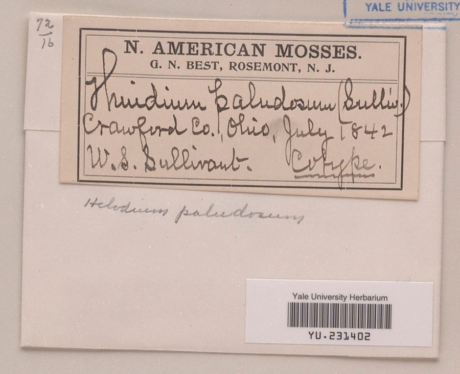
Specimen of Helodium paludosum (Austin) Austin ex Broth.1842Helodium paludosum (Austin) Austin ex Broth.Plantaenot statedWilliam S. SullivantYPM YU.231402
A photograph of the species Lophocolea heterophylla, not of this specimen1844Lophocolea heterophylla (Schrad.) Dumort.Plantaenot statednot recordedNY 575539
Specimen of Peronospora sordida Berk. & Broome1896Peronospora sordida Berk. & BroomeChromistaOlentangy ValleyF.L. StevensILL ILL00096525
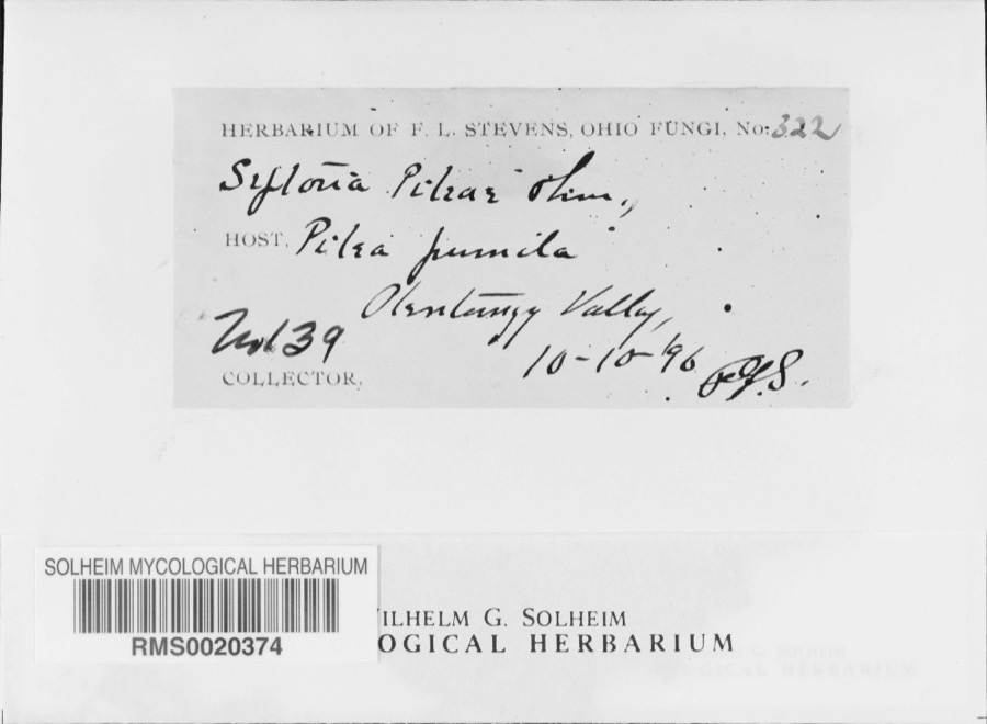
Specimen of Septoria E.M.Fries, 18191896Septoria E.M.Fries, 1819FungiOlentangy Valley; 40.761724 -82.873517F. L. StevensRMS RMS0020374
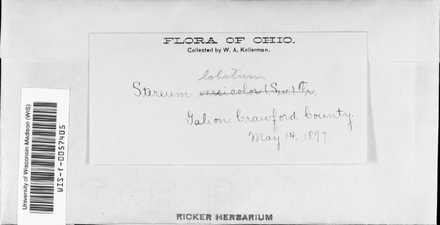
Specimen of Stereum lobatum (Kunze ex Fr.) Fr.1897Stereum lobatum (Kunze ex Fr.) Fr.Funginot statedW.A. KellermanWIS WIS-F-0057405
A photograph of the species Stereum versicolor, not of this specimen1897Stereum versicolor (Sw.) Fr., 1838FungiGalion.W. A. KellermanNY 1991401

The townships, in 1912

392,743 words

History of Crawford County, Ohio, and Representative Citizens devotes a chapter to each township: its boundaries and streams, who settled it and when, the mills, the schools and the churches. All 14 are reproduced here in full. Each row shows the township's own shape and where it lies in the county, drawn from the Census Bureau's boundary. Which settlements belong to which township is computed from that same boundary, not taken from the book.

Every populated place in the county

38

Named settlements recorded in the Geographic Names Information System, each with the topographic sheets covering it. Villages, hamlets and abandoned places alike. Each is shown with the watercourse or landform it stands on and the survey quadrangle it falls on. The 4 places that were also surveyed for fire insurance come first, with the number of atlases and photographs held for them.

Recorded here

Bucyrus, Ohio

13 topographic sheets and 9 fire insurance atlases, 1884 to 1950

Crestline, Ohio

13 topographic sheets and 7 fire insurance atlases, 1887 to 1948

Galion, Ohio

13 topographic sheets and 7 fire insurance atlases, 1887 to 1950

New Washington, Ohio

11 topographic sheets and 4 fire insurance atlases, 1911 to 1938

Everything this county holds

The complete index, with nothing left out. Each of these is a separate record with its own page: a federal survey report, or the case file that argued a property on to the National Register. Both are public domain and reproduced word for word.

Surveyed structures

2 structures

Nomination case files

25 case files

The vanished settlements of Crawford County, the places these records name that are no longer on the map.

Provenance

  • Topographic sheets. USGS Historical Topographic Map Collection, county index, measured from the bulk metadata.
  • Fire insurance maps. Library of Congress Sanborn collection, faceted to this county.
  • Photographs. Each place queried individually against the Library of Congress Prints and Photographs search.
  • Wildfire. Short, Karen C. 2022. Spatial wildfire occurrence data for the United States, 1992-2020 [FPA_FOD_20221014]. 6th Edition. Fort Collins, CO: Forest Service Research Data Archive. https://doi.org/10.2737/RDS-2013-0009.6 Collected with United States Government funding and usable without additional permissions or fees.
  • Specimens. Global Biodiversity Information Facility (GBIF), https://www.gbif.org/. Only records licensed CC0 or CC BY are used. Records licensed CC BY-NC are excluded because this site carries advertising. Images are checked individually and any whose licence is non-commercial, no-derivatives or unreadable is refused.
  • Mines and quarries. USGS Mineral Resources Data System (MRDS) https://mrdata.usgs.gov/mrds/ A work of the United States government, no copyright under 17 U.S.C. 105.
  • Storms. NOAA National Centers for Environmental Information, Storm Events Database https://www.ncei.noaa.gov/stormevents/ A work of the United States government, no copyright under 17 U.S.C. 105. Narratives are quoted verbatim from the National Weather Service report and are not edited or summarised.