 Block
Block
Ridgeton, Ohio
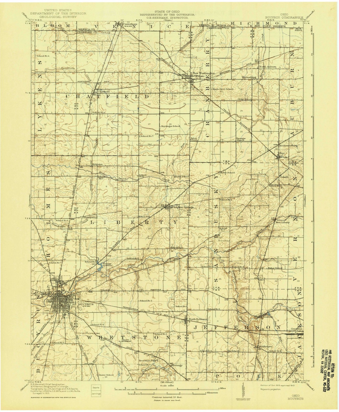
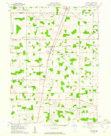
11 topographic sheets cover this place, the earliest surveyed in 1915 and the latest in 1994. It stands in Liberty Township. It lies in ZIP code area 44820. The Survey maps it on the Chatfield quadrangle.
Then and now
1915 to 1994The same ground, surveyed 79 years apart. Drag the handle to wipe between them. Both sheets are United States Geological Survey originals; neither has been altered.

Topographic sheets covering this place
11 sheetsMatched by testing this settlement's coordinate against the published boundary of every sheet in the United States Geological Survey's historical collection. Each opens the scanned sheet at the Survey.
- 1915 USGS Bucyrus quadrangle1:62500
- 1943 USGS Bucyrus quadrangle1:62500
- 1950 USGS Marion quadrangle1:250000
- 1960 USGS Chatfield quadrangle1:24000
- 1960 USGS Chatfield quadrangle1:24000
- 1962 USGS Marion quadrangle1:250000
- 1966 USGS Marion quadrangle1:250000
- 1966 USGS Marion quadrangle1:250000
- 1966 USGS Marion quadrangle1:250000
- 1986 USGS Mansfield quadrangle1:100000
- 1994 USGS Mansfield quadrangle1:100000







In the 1912 county history
52,458 words on this townshipThe county history of 1912 has no passage naming this settlement, which was common for the smaller places. Its township is covered in full.
The chapter on Liberty Township covers the township.
Read the chapter on Liberty Township - 52,458 words.
Specimens collected nearby
12 of 184 shownMuseums hold 184 specimens collected within 10 miles of Ridgeton between 1842 and 1973: 168 Animalia, 12 Plantae, 4 Fungi. 12 distinct Species records are shown. Collected by Beal, L. E., Benjamin, J. R., Chase, H. (Hazel) and others. Each is a physical object with a catalogue number, and each entry opens the museum's record. This is what was collected and kept, not a survey of what lives here - nothing can be concluded from a species being absent.
| Image | Species | Year | Collected by | Where, as recorded |
|---|---|---|---|---|
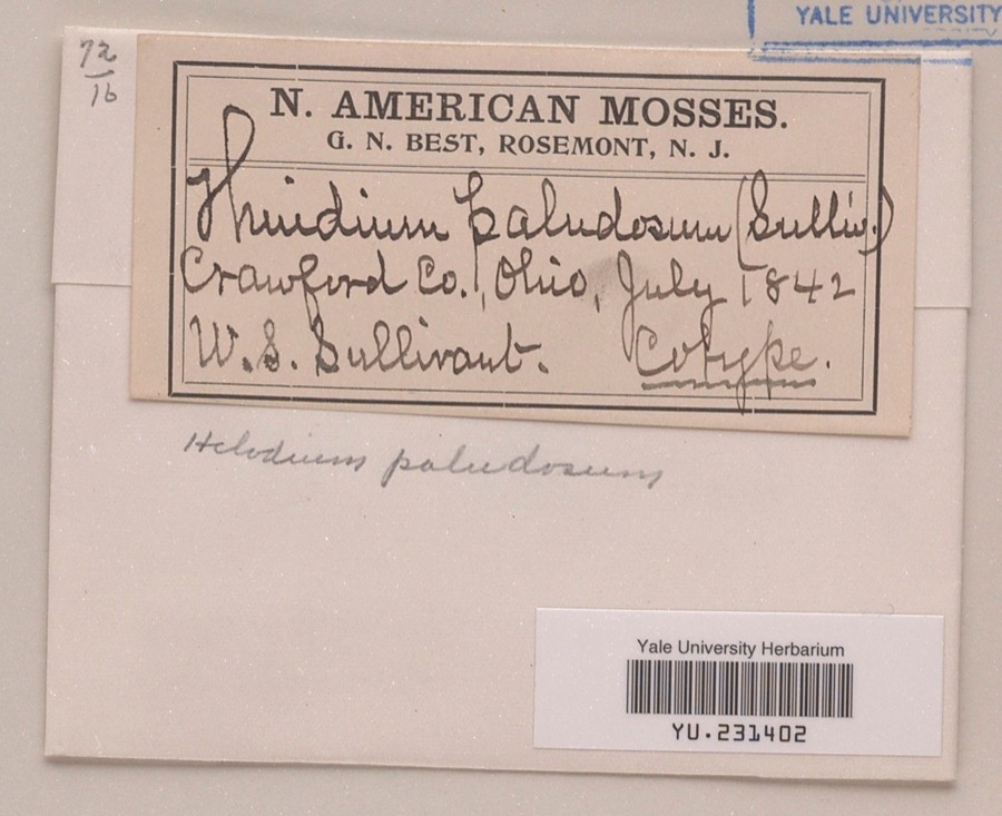 | Helodium paludosum (Austin) Austin ex Broth. | 1842 | William S. Sullivant | |
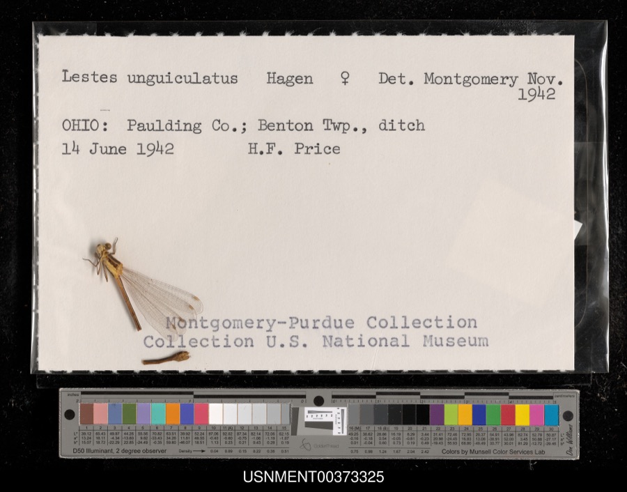 | Lestes unguiculatus Hagen, 1861 | 1942 | H. Price | Benton Township, ditch |
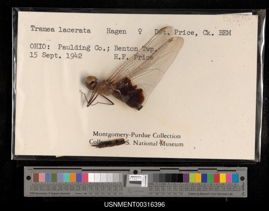 | Tramea lacerata Hagen, 1861 | 1942 | H. Price | Benton Township |
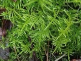 | Cirriphyllum piliferum (Hedw.) Grout | 1842 | W. S. Sullivant | |
 | Drepanocladus polycarpos (Blandow ex Voit) Warnst. | 1842 | W. S. Sullivant | |
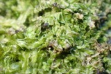 | Lophocolea heterophylla (Schrad.) Dumort. | 1844 | not recorded | |
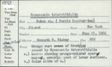 | Gymnoconia interstitialis (Schltdl.) Lagerh. | 1906 | Hieber Christina | Bucyrus |
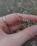 | Puccinia chrysanthemi Roze | 1922 | Orewiler Henry | Tiro |
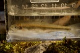 | Lythrurus umbratilis (Girard, 1856) | 1929 | MB Trautman | Sandusky River, NE corner of Bucyrus Twp |
 | Orconectes rusticus (Girard, 1852) | 1930 | E. Wichliff | Bucyrus Fish Hatchery |
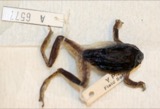 | Hyla versicolor LeConte, 1825 | 1931 | Conant, R. (Roger) | W. of Bucyrus, Crawford Co., Ohio |
 | Antennaria parlinii subsp. fallax (Greene) R.J.Bayer & Stebbins | 1932 | Leslie L Pontius; Floyd Bartley | Benton |
All 184 specimens within 10 miles, at the Global Biodiversity Information Facility.
Storms nearby
3 since 2010The National Weather Service names Ridgeton in 3 storm reports between 2010 and 2026: 1 flash flood, 1 thunderstorm wind, 1 hail. No death or injury is recorded in these reports. Each account below is quoted exactly as the forecast office filed it, from the NOAA Storm Events Database, and each date opens the federal record of that event.
| When | Event | Place named | Harm | What the report says |
|---|---|---|---|---|
| May 2010 | Flash Flood | Ridgeton | $200,000 | Slow moving thunderstorms moved across portions of Seneca, Wyandot, Marion and Crawford Counties. Rainfall rates exceeded two inches per hour at times causing many streams and creeks to leave their banks. A trained spotter measured a storm total of 3.41 inches of rainfall in Bucyrus. Many roads and streets had to be closed because of flooding. The flooding was the worst along the U.S. Route 30 corridor in Wyandot and Crawford Counties. Between one and two feet of swiftly flowing water was reported on State Route 4 in Bucyrus. At least one vehicle became stranded in the flood waters. Many homes sustained damage, mainly from basement flooding. |
| March 2026 | Hail | Ridgeton | - | Hail up to penny-size about three-miles SSW of Chatfield. |
| May 2022 | Thunderstorm Wind | Ridgeton | - | Several trees downed, carport damaged, and gas station awning blown down about two-miles south of Chatfield. |
Nearest settlements
The eight closest, with where each one stands in the county. Distances are straight-line, computed from the Geographic Names Information System coordinates.
| Map | Place | Distance | Sheets |
|---|---|---|---|
| Fauser (historical) | 1.5 miles | 11 | |
| Brandywine | 2.4 miles | 13 | |
| Chatfield | 3.5 miles | 11 | |
| Broken Sword | 3.8 miles | 10 | |
| Sulphur Springs | 4.1 miles | 13 | |
| Spore | 5.6 miles | 11 | |
| Linden Park | 5.6 miles | 13 | |
| Northwood Estates | 5.8 miles | 13 |
Provenance
This settlement is recorded in the Geographic Names Information System as feature 1061603. The sheet list is computed by point-in-boundary test against the United States Geological Survey's historical topographic inventory. Both are works of the United States government and carry no copyright under 17 U.S.C. 105.
Specimens. Global Biodiversity Information Facility (GBIF), https://www.gbif.org/. Only records licensed CC0 or CC BY are used. Records licensed CC BY-NC are excluded because this site carries advertising. Images are checked individually and any whose licence is non-commercial, no-derivatives or unreadable is refused.
Storms. NOAA National Centers for Environmental Information, Storm Events Database https://www.ncei.noaa.gov/stormevents/ A work of the United States government, no copyright under 17 U.S.C. 105. Narratives are quoted verbatim from the National Weather Service report and are not edited or summarised.