 Block
Block
Finney, Ohio
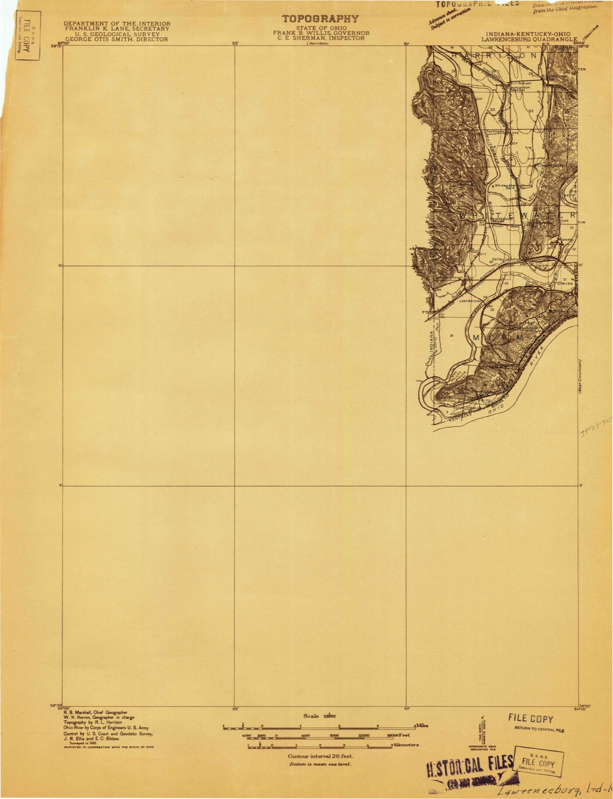
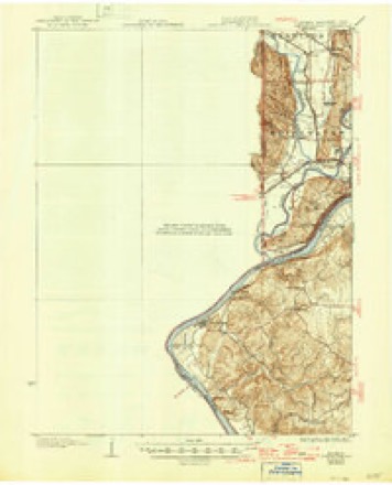
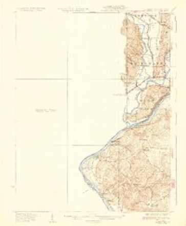
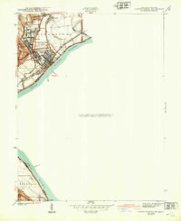
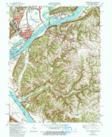
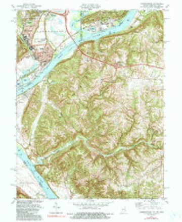
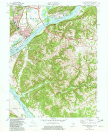
16 topographic sheets cover this place, the earliest surveyed in 1915 and the latest in 1986. It stands in Miami Township. It lies in ZIP code area 45052. It stands on Dark Hollow Run. The Survey maps it on the Lawrenceburg quadrangle.
Then and now
1915 to 1986The same ground, surveyed 71 years apart. Drag the handle to wipe between them. Both sheets are United States Geological Survey originals; neither has been altered.

Topographic sheets covering this place
16 sheetsMatched by testing this settlement's coordinate against the published boundary of every sheet in the United States Geological Survey's historical collection. Each opens the scanned sheet at the Survey.
- 1915 USGS Lawrenceburg quadrangle1:48000
- 1928 USGS Lawrenceburg quadrangle1:62500
- 1932 USGS Lawrenceburg quadrangle1:62500
- 1932 USGS Lawrenceburg quadrangle1:62500
- 1932 USGS Lawrenceburg quadrangle1:62500
- 1943 USGS Lawrenceburg quadrangle1:24000
- 1953 USGS Cincinnati quadrangle1:250000
- 1953 USGS Cincinnati quadrangle1:250000
- 1953 USGS Cincinnati quadrangle1:250000
- 1957 USGS Cincinnati quadrangle1:250000
- 1981 USGS Lawrenceburg quadrangle1:24000
- 1981 USGS Lawrenceburg quadrangle1:24000
- 1981 USGS Lawrenceburg quadrangle1:24000
- 1986 USGS Cincinnati quadrangle1:100000
- 1986 USGS Cincinnati quadrangle1:100000
- 1986 USGS Cincinnati quadrangle1:100000







In the county-history sources
8,679 words on this townshipHistory of Hamilton County, Ohio, with Illustrations and Biographical Sketches, published 1881 names this settlement in its chapter on Miami Township. These are the passages that mention it, exactly as the scans read.
We have elsewhere, in the chapter Before Losantiville, in the second division of this work, told the story of Fort Finney, down to and including the settlement and signature of a treaty with the Indians, February 2, 1786. It remains only to give its subsequent brief history. This we are happily enabled to do by the aid of the journal of Major Denny, which has been published in one of the valuable volumes issued by the Pennsylvania Historical society. It begins October 22, 1785, before the work was built, and a little before the movement of troops to that quarter began. From this clear and intelligent account we learn that General Butler and his fellow commissioners left the fort soon after the treaty was concluded, going away on the eighth of February, 1786, in three large boats, with their messengers and attendants, all apparently well tired of the place, where their life and duties had been by no means pleasant. Their voyage was up the Ohio on their return to civilization. The soldiers remained, however, with Major Finney, Captain Zeigler (afterwards Major Zeigler, commandant at Fort Washington), Lieutenant Denny, and other well known officers in command. St. Patrick's Day was duly celebrated by the bold Irish boys of the garrison, with all hands taking part in such festivities as included the disposal of festive liquids, and also in the observance of the Fourth of July, which followed in due course of time. Lieutenant Denny does not say just when the fort was evacuated, but the treaty of the Indians of the Miami and Maumee valleys was supposed to obviate the necessity for a military post here, and, all remaining quiet in this region, the commanding officer was presently directed to evacuate the place, which he did some time before January, 1789, taking his force to the Indiana side of the Ohio opposite Louisville, where a small work was also erected, and likewise called Fort Finney. We have no record that the work was occupied again by a military force, although General Harmar, 'in a letter of January 22, 1789, just before Symmes reached North Bend, said it was "not improbable that two companies would be ordered to be stationed at the mouth of the Great Miami, not only as a better cover for Kentucky, but also to afford protection to Judge Symmes in his intended settlement there." But it was doubtless standing when Judge Symmes came upon the premises, since the locality about the mouth of the Great Miami is commonly referred to by him as the Old Fort, and doubtless took its name from Fort Finney, not from the ancient work on the hills overlooking the Great Miami.
Passage source: History of Hamilton County, Ohio, with Illustrations and Biographical Sketches, published 1881.
in Miami township, and the third in the Miami purchase, was made, as all careful readers of this work well know by this time, by Judge John Cleves Symmes - not at the mouth of the Great Miami, as he intended, and as General Harmar and others expected, but at North Bend. Who Judge Symmes was, in his family origin and early career, and what were his preliminary movements before reaching the Purchase with his colony, are narrated in
Passage source: History of Hamilton County, Ohio, with Illustrations and Biographical Sketches, published 1881.
Machine-read from a century-old scan, so expect the errors a machine makes: misspelled names, dropped words, stray characters.
Specimens collected near this place
12 of 632 shownRegional context, not property-specific evidence. Museums hold 632 specimens collected within 10 miles of Finney between 1835 and 1975: 242 Fungi, 192 Plantae, 192 Animalia, 5 Unrecorded, 1 Chromista. 12 distinct Species records are shown. Collected by A. R. Gaufin, A.R. Gaufin, H.H. Ross, Arden R. Gaufin and others. Each is a physical object with a catalogue number, and each entry opens the museum's record. This is what was collected and kept, not a survey of what lives here - nothing can be concluded from a species being absent.
| Image | Species | Year | Collected by | Where, as recorded |
|---|---|---|---|---|
 | Carex davisii Schwein. & Torr. | 1835 | Frank | in ditione Miami civitatis Ohio |
 | Mentha arvensis var. glabrata (Benth.) Fernald | 1835 | Collector unspecified | Miami. |
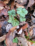 | Sanicula canadensis L. | 1835 | Frank | in ditione Miami civitatis Ohio |
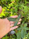 | Desmodium Desv. | 1836 | Short, C.W. | Fernbank - ad ripas fluminis Ohio prope 'North Bend' [banks of Ohio River near North Bend]. |
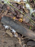 | Dicentra Bernh. | 1836 | Short, C.W. | Fernbank [=Fernbank Park] ad ripas fluminensis Ohio, prope North Bend, Kentucky. |
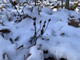 | Monotropa uniflora L. | 1836 | Haupt, J.G. | 4 mile NW. Cincinnati |
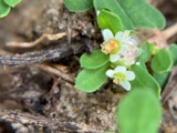 | Euphorbia cordifolia Elliott | 1839 | C. W. Short | Ohio River |
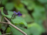 | Viola L. | 1840 | Short, C.W. | In America boerali prope Fernbank, ad ripas fluminis Ohio, prope North-Bend (Kentucky). | Fernbank - ad ripas fluminis Ohio, prope ''North Bend.'' [=In northern America, near Fernbank, beside the Ohio River, near North Bend (Kentucky).] |
 | Aesculus L. | 1844 | Short, C.W. | Fernbank - ad ripas fluminis Ohio prope North Bend [=Fernbank - the banks of the Ohio river near North Bend]. |
 | Ammocrypta pellucida (Putnam, 1863) | 1929 | Trautman, M. B. (Milton Bernard) & Foster, R. (Robert) | White Water Creek, within northwest Whitewater township, near Hooven, Whitewater township |
 | Ericymba buccata Cope, 1865 | 1929 | Trautman, M. B. (Milton Bernard) & Foster, R. (Robert) | White Water Creek, within northwest Whitewater township, near Hooven, Whitewater township |
 | Etheostoma zonale (Cope, 1868) | 1929 | Trautman, M. B. (Milton Bernard) & Foster, R. (Robert) | White Water Creek, within northwest Whitewater township, near Hooven, Whitewater township |
All 632 specimens within 10 miles, at the Global Biodiversity Information Facility.
Mines and quarries near this place
10 of 12 shownRegional context, not property-specific evidence. The federal mineral resources record lists 12 workings within 5 miles of Finney: 7 past producers, 4 producers, 1 plant. 5 still produce. What was taken out: Sand and Gravel, Construction. Distance is straight-line from the map coordinates, so a quarry counted here may appear on a neighbouring settlement's page as well.
| Where | Site | Commodity | Status | Recorded |
|---|---|---|---|---|
| Ashcraft Main Pit | Sand and Gravel, Construction | Producer | ||
| Bunnell Gravel Pit Number 1 | Sand and Gravel, Construction | Past Producer | Sedimentary | |
| Cleves Plant Number 6 and Pit | Sand and Gravel, Construction | Past Producer | Sedimentary | |
| Eaton Sand and Gravel Pit | Sand and Gravel, Construction | Past Producer | Sedimentary | |
| Eaton Sand and Gravel Pit | Sand and Gravel, Construction | Producer | ||
| Hooven Pit | Sand and Gravel, Construction | Past Producer | Sedimentary | |
| Hoover Pit | Sand and Gravel, Construction | Past Producer | ||
| James Bunnell Pit No. 2 | Sand and Gravel, Construction | Producer | ||
| Queen City Gravel Pit Number 2 | Sand and Gravel, Construction | Past Producer | Sedimentary | |
| Three Rivers Sand & Gravel | Sand and Gravel, Construction | Plant |
Nearest settlements
The eight closest, with where each one stands in the county. Distances are straight-line, computed from the Geographic Names Information System coordinates.
| Map | Place | Distance | Sheets |
|---|---|---|---|
| Elizabethtown | 2.9 miles | 20 | |
| North Bend | 3.2 miles | 19 | |
| Valley Junction | 3.6 miles | 20 | |
| Cleves | 3.6 miles | 19 | |
| Sekitan | 3.9 miles | 19 | |
| Hooven | 4.4 miles | 20 | |
| Addyston | 4.4 miles | 19 | |
| Cilley (historical) | 4.5 miles | 20 |
Provenance
This settlement is recorded in the Geographic Names Information System as feature 1066708. The sheet list is computed by point-in-boundary test against the United States Geological Survey's historical topographic inventory. Both are works of the United States government and carry no copyright under 17 U.S.C. 105.
Specimens. Global Biodiversity Information Facility (GBIF), https://www.gbif.org/. Only records licensed CC0 or CC BY are used. Records licensed CC BY-NC are excluded because this site carries advertising. Images are checked individually and any whose licence is non-commercial, no-derivatives or unreadable is refused.
Mines and quarries. USGS Mineral Resources Data System (MRDS) https://mrdata.usgs.gov/mrds/ A work of the United States government, no copyright under 17 U.S.C. 105.