 Block
Block
Five Corners, Ohio
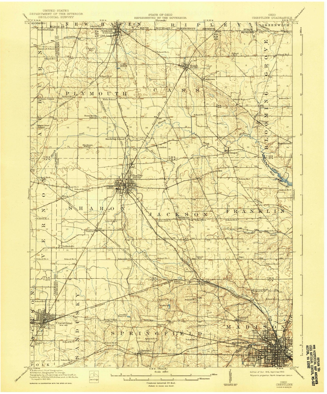
13 topographic sheets cover this place, the earliest surveyed in 1915 and the latest in 1994. It stands in Springfield Township. It lies in ZIP code area 44903. It stands on Ralston Knob. The Survey maps it on the Crestline quadrangle.
Then and now
1915 to 1994The same ground, surveyed 79 years apart. Drag the handle to wipe between them. Both sheets are United States Geological Survey originals; neither has been altered.

Topographic sheets covering this place
13 sheetsMatched by testing this settlement's coordinate against the published boundary of every sheet in the United States Geological Survey's historical collection. Each opens the scanned sheet at the Survey.
- 1915 USGS Crestline quadrangle1:62500
- 1943 USGS Crestline quadrangle1:62500
- 1943 USGS Crestline quadrangle1:62500
- 1950 USGS Marion quadrangle1:250000
- 1960 USGS Crestline quadrangle1:24000
- 1960 USGS Crestline quadrangle1:24000
- 1960 USGS Crestline quadrangle1:24000
- 1962 USGS Marion quadrangle1:250000
- 1966 USGS Marion quadrangle1:250000
- 1966 USGS Marion quadrangle1:250000
- 1966 USGS Marion quadrangle1:250000
- 1986 USGS Mansfield quadrangle1:100000
- 1994 USGS Mansfield quadrangle1:100000







In the county-history sources
15,578 words on this townshipHistory of Richland County, Ohio : (including the Original Boundaries) ; Its Past and Present, Containing a Condensed Comprehensive History of Ohio, Including an Outline History of the Northwest, a Complete History of Richland County ... Miscellaneous Matter, Map of the County, Biographies and Histories of ... the Most Prominent Families, &c., &c., published 1880 names this settlement in its chapter on Springfield Township. These are the passages that mention it, exactly as the scans read.
Agriculturally considered, the land is generally excellent, the timber presenting the usual variety in Ohio - beach, hard (sugar) and soft maple, many varieties of ash and oak, and nearly all varieties of hard wood. Such timber speaks well for the quality of the land. The black walnut is already rapidly disappearing here, as well as all over the State, under the pressure of continual demand. The land produces the usual variety of cereals produced in the Northern States.
The first Sabbath school was started in 1820, by Robert Finnev. It was held for several 3'ears in the private dwelling of John Chambers. Some of its first members were John and Susan Chambers. John and James Finney, Mathew Curran and James Larimer. Of these, John and James Finne}' and Susan Chambers are still living. They were Presbyterians and Associates. Their first meetings and public gatherings of all kinds were held at private houses, but, in 1 822, a log church was built, one mile north of Ontario, at what is called the Five Corners, by the Presbyterians. Jesse Edgerton was the active spirit in founding this church. He came from Harrison County, Ohio, and had five sons - John, Jessie, Levi, Thomas and Isaac. The first man who preached in this church was Rev. Mr. Lee, father of an honored citizen of Mansfield, John A. Lee. About the same time, the Methodists built a log church, three-fourths of a mile south of Millsborough, which was called Taylor's Meeting House. »
Hiram Cook came to this township in 1820, from a place called Ontario, in Orange County, N. Y. He bought a farm a few miles south of the present village of Ontario, where he lived several 3-ears, and having purchased the land on which Ontario now stands, laid out that place in a dense woods. It was on the trail leading from Mansfield to Bucyrus, by way of Gallon. This trail was then only wide enough for the passage of horses and footmen. It is on the southwest quarter of Section 21. He had it surveyed by John Stewart, and induced George Hoover to build the first cabin beside the trail. Hoover started a blacksmith-shop, and also kept a few groceries for sale in his cabin. When the timber was cleared awaj^ a little. Cook built two frame houses - one south of the Atlantic & Great Western Railroad, to be used as a dwelling, the other on the north side of the railroad, on the trail, for a hotel. He kept this hotel some years himself until it burned down, when it was rebuilt and occupied b}- other parties at difierent times, for the same purpose. As the town gTcw, the church organizations in the country began to abandon their deca^-ed churches and build others in town. The first erected was the Methodist Episcopal, in 1839. This organization originated at the Bigelow Chapel, and afterward worshiped at the Taylor meeting-house, both before mentioned in this chapter. The present minister is James H. Johnson, and the membership aliout eighty. The Sunday school is in a flourishing condition.
Machine-read from a century-old scan, so expect the errors a machine makes: misspelled names, dropped words, stray characters.
Read the whole chapter on Springfield Township - it names this place 3 more 3 times.
Fires near this place
6 since 2002Regional context, not property-specific evidence. The federal wildfire occurrence database lists 6 fires within 5 miles of Five Corners between 2002 and 2019, burning about 14 acres in total. None started naturally. None was recorded as arson. Distance is straight-line from the map coordinates, so a fire counted here may appear on a neighbouring settlement's page as well.
| Reported cause | Fires |
|---|---|
| Missing data/not specified/undetermined | 4 |
| Smoking | 2 |
The most recent of them, most recent first, with the day each was reported and the service that recorded it.
| Date | Cause | Size | Reported by | Name on the report |
|---|---|---|---|---|
| 27 September 2019 | Missing data/not specified/undetermined | 5.0 acres | Ohio Department of Natural Resources | 15304 |
| 4 July 2002 | Smoking | under an acre | Ohio State Fire Marshal's Office | not named |
| 15 February 2002 | Smoking | under an acre | Ohio State Fire Marshal's Office | not named |
| 13 October 2019 | Missing data/not specified/undetermined | 3.0 acres | Ohio Department of Natural Resources | 15306 |
| 13 October 2019 | Missing data/not specified/undetermined | 4.0 acres | Ohio Department of Natural Resources | 15305 |
| 13 October 2019 | Missing data/not specified/undetermined | 2.0 acres | Ohio Department of Natural Resources | 15307 |
Settlements close enough to share some of these fires:
Specimens collected near this place
12 of 646 shownRegional context, not property-specific evidence. Museums hold 646 specimens collected within 10 miles of Five Corners between 1835 and 1975: 490 Plantae, 127 Animalia, 29 Fungi. 12 distinct Species records are shown. Collected by Berra, T. (Tim), Chase, H. (Hazel), Colby, J. and others. Each is a physical object with a catalogue number, and each entry opens the museum's record. This is what was collected and kept, not a survey of what lives here - nothing can be concluded from a species being absent.
| Image | Species | Year | Collected by | Where, as recorded |
|---|---|---|---|---|
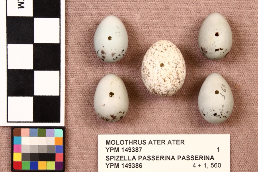 | Molothrus ater ater (Boddaert, 1783) | 1892 | not recorded | Mansfield |
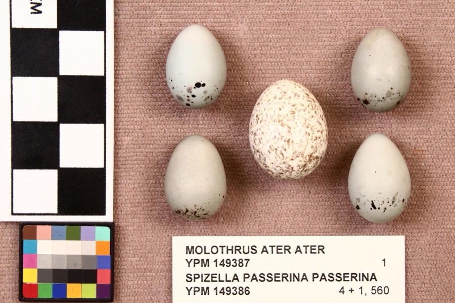 | Spizella passerina passerina (Bechstein, 1798) | 1892 | not recorded | Mansfield |
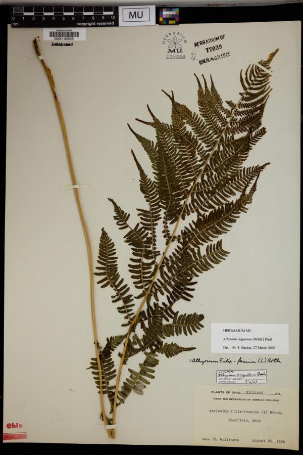 | Athyrium angustum (Willd.) C.Presl | 1895 | Wilkinson, E. | Mansfield. |
 | Alisma subcordatum Raf. | 1835 | Wilkinson, E. | Mansfield |
 | Carex scoparia Schkuhr ex Willd. | 1835 | Wilkinson, E. | Mansfield |
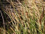 | Carex stricta Lam. | 1835 | Herb. of E. Wilkinson | Mansfield |
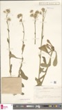 | Erigeron bellidifolius Muhl. ex Willd. | 1835 | Wilkinson,E. 5229 | [USA, Ohio] Mansfield, Ohio. |
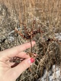 | Penthorum sedoides L. | 1835 | E. Wilkinson | Mansfield |
 | Verbascum thapsus L. | 1835 | Wilkinson, E. | Mansfield |
 | Achillea millefolium L. | 1836 | Wilkinson, E. | Mansfield |
 | Angelica atropurpurea L. | 1836 | Wilkinson, E. | Mansfield |
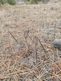 | Apocynum androsaemifolium L. | 1836 | Wilkinson, E. | Mansfield |
All 646 specimens within 10 miles, at the Global Biodiversity Information Facility.
Nearest settlements
The eight closest, with where each one stands in the county. Distances are straight-line, computed from the Geographic Names Information System coordinates.
| Map | Place | Distance | Sheets |
|---|---|---|---|
| Maybee | 1.6 miles | 14 | |
| Millsboro | 2.2 miles | 13 | |
| Richland (historical) | 2.4 miles | 13 | |
| Riblet (historical) | 2.8 miles | 13 | |
| Toledo Junction | 3.0 miles | 14 | |
| Stewart (historical) | 3.3 miles | 14 | |
| East Crestline | 3.5 miles | 13 | |
| Ontario | 3.6 miles | 14 |
Provenance
This settlement is recorded in the Geographic Names Information System as feature 1062474. The sheet list is computed by point-in-boundary test against the United States Geological Survey's historical topographic inventory. Both are works of the United States government and carry no copyright under 17 U.S.C. 105.
Wildfire. Short, Karen C. 2022. Spatial wildfire occurrence data for the United States, 1992-2020 [FPA_FOD_20221014]. 6th Edition. Fort Collins, CO: Forest Service Research Data Archive. https://doi.org/10.2737/RDS-2013-0009.6 Collected with United States Government funding and usable without additional permissions or fees.
Specimens. Global Biodiversity Information Facility (GBIF), https://www.gbif.org/. Only records licensed CC0 or CC BY are used. Records licensed CC BY-NC are excluded because this site carries advertising. Images are checked individually and any whose licence is non-commercial, no-derivatives or unreadable is refused.