 Block
Fort Brown, Ohio
10 topographic sheets cover this place, the earliest surveyed in 1909 and the latest in 1986. It stands in Brown Township. It lies in ZIP code area 45873. It stands on Little Auglaize River. The Survey maps it on the Oakwood quadrangle.
Then and now
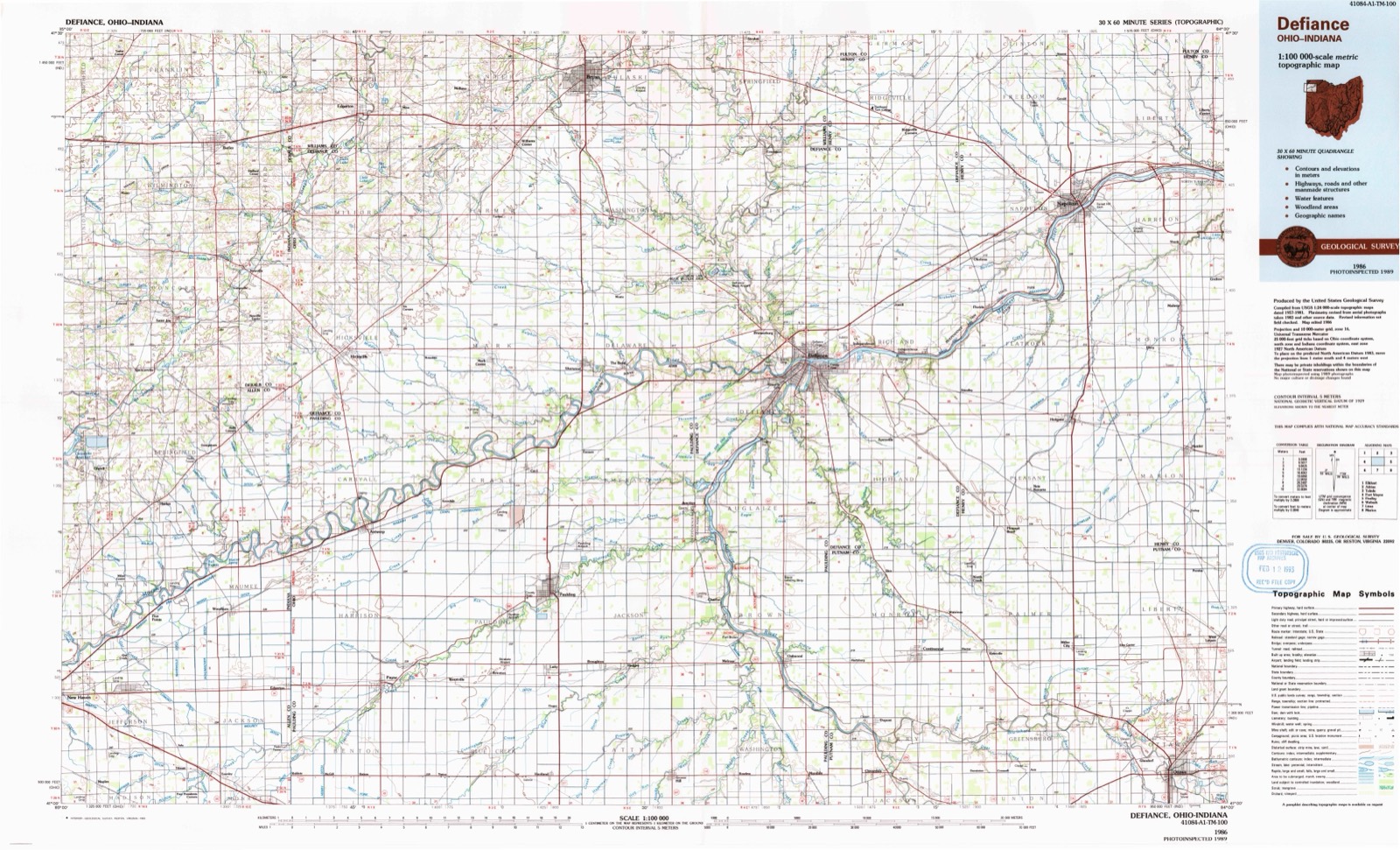
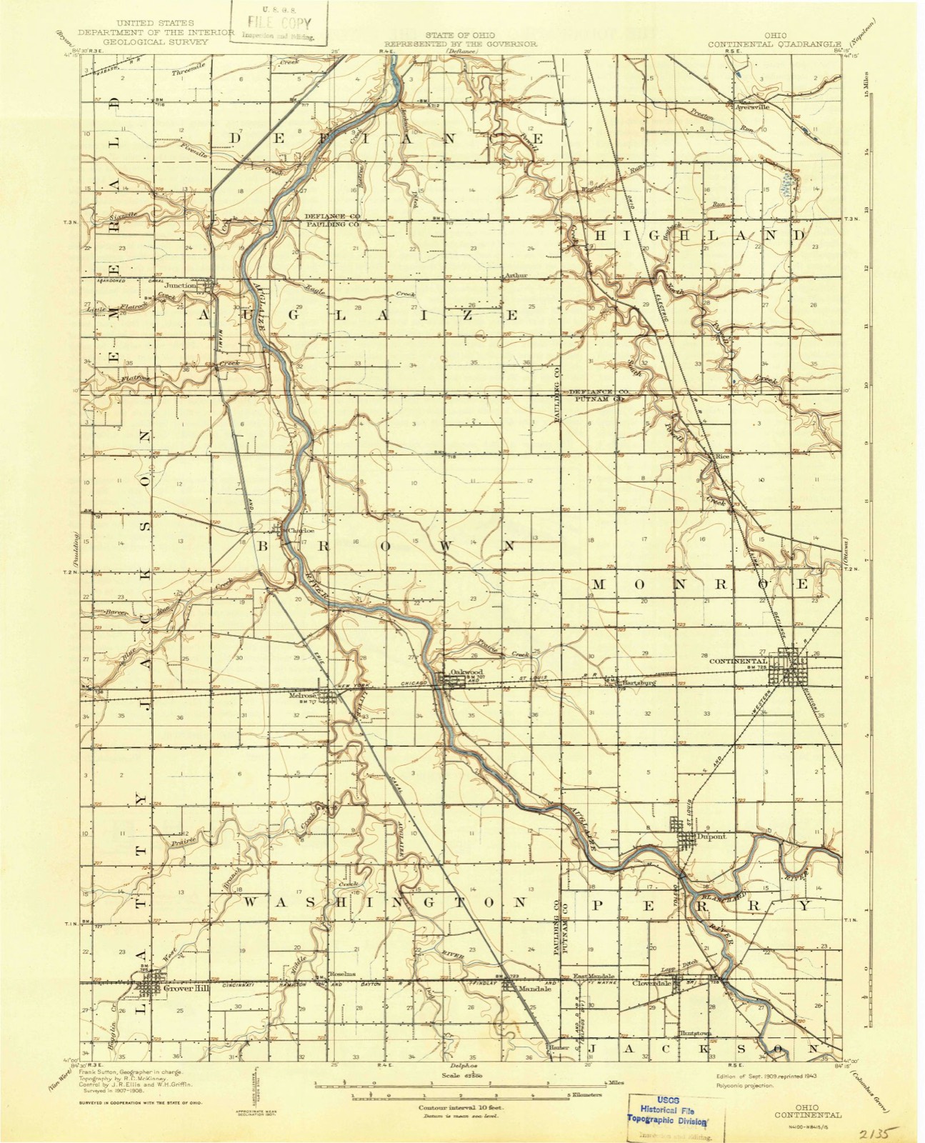
1909 to 1986The same ground, surveyed 77 years apart. Drag the handle to wipe between them. Both sheets are United States Geological Survey originals; neither has been altered.
Compare 1909 against another survey:
Topographic sheets covering this place
5 surveys from 10 printed sheetsMatched by testing this settlement's coordinate against the published boundary of every sheet in the United States Geological Survey's historical collection. Each opens the scanned sheet at the Survey.
- 1909 USGS Continental quadrangle1:62500
- 1953 USGS Fort Wayne quadrangle1:250000, 4 printings
- 1956 USGS Fort Wayne quadrangle1:250000, 2 printings
- 1960 USGS Oakwood quadrangle1:24000, 2 printings
- 1986 USGS Defiance quadrangle1:100000
In the county-history sources
17,791 words on this townshipHistorical Atlas of Paulding County Ohio, published 1892 names this settlement in its chapter on Brown Township. These are the passages that mention it, exactly as the scans read.
Joshua Pierce was born in Knox county, Ohio, May 8, 1833, the son of Ezekiel and Sarah (Hanville) Pierce, of German descent. He was reared and partly educated in his native county, and at the age of eight years was taken by his parents to Paulding county, where the family located at old Fort Brown. There were but few earlier settlers there at that time, and consequently no improvements to speak of had been made. Mr. Pierce, Sr., was a farmer, and this occupation his son, the subject of this sketch, has always followed. Joshua Pierce was united in matrimony with Matilda, the daughter of William and Mary (Selfeist) Hoover, July 4, 1854. Mrs. Pierce died in February, the following year, and he married again, on November 6, 1856, Martha Caskey. She is the daughter of Andrew and Sarah (Shaump) Caskey, of German and Irish descent,and by her marriage became the mother of Harrison P. (deceased), Corydon (deceased), Caskey, Sherman, David, Clarence and Hannah. The family are members of the Disciples church, and Mr. Pierce is a republican. He enlisted, in 1864, in Company A, One Hundred and Thirty-second Ohio volunteer infantry for one hundred days, and was discharged at Camp Chase, in September, 1864. He is a representative citizen and a good farmer, and has gained the esteem of the community by his life of industry and integrity.
Passage source: Historical Atlas of Paulding County Ohio, published 1892.
Machine-read from a century-old scan, so expect the errors a machine makes: misspelled names, dropped words, stray characters.
Read the whole chapter on Brown Township - it names this place 1 more 1 time.
Specimens collected near this place
12 of 718 shownRegional context, not property-specific evidence. Museums hold 718 specimens collected within 10 miles of Fort Brown between 1893 and 1973: 718 Animalia. 12 distinct Species records are shown. Collected by Adler, K. K., Angle, E. (Eric) & Trautman, M. B. (Milton Bernard), Angle, E. (Eric), Trautman, M. B. (Milton Bernard) & Hoschak, J. (John) and others. Each is a physical object with a catalogue number, and each entry opens the museum's record. This is what was collected and kept, not a survey of what lives here - nothing can be concluded from a species being absent.
| Image | Species | Year | Collected by | Where, as recorded |
|---|---|---|---|---|
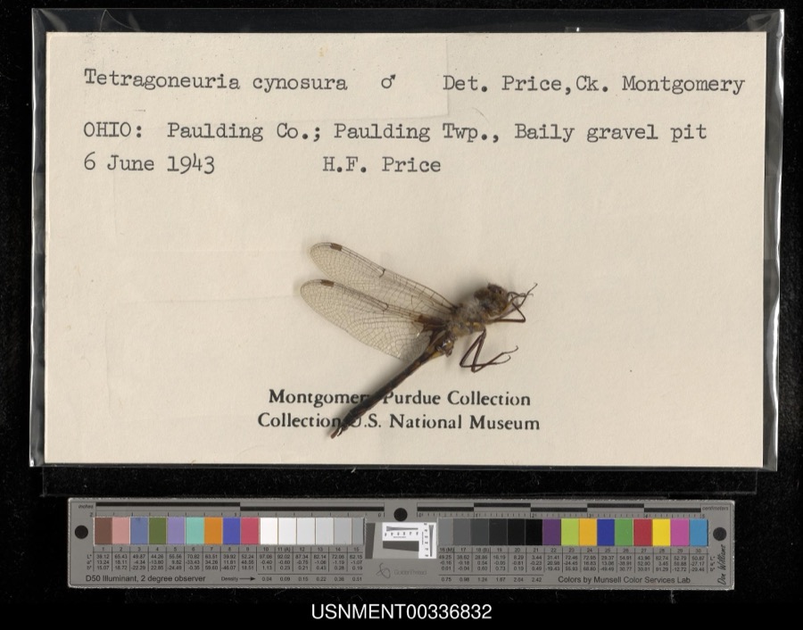 | Epitheca cynosura (Say, 1840) | 1943 | H. Price | Paulding Township, Baily gravel pit |
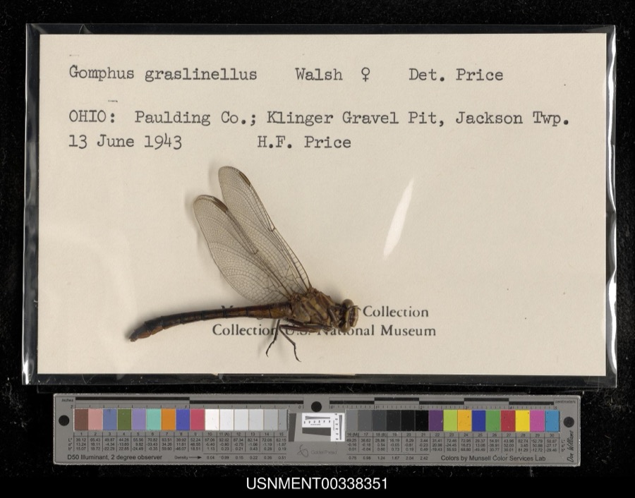 | Gomphus graslinellus Walsh, 1862 | 1943 | H. Price | Klinger Gravel Pit, Jackson Township |
 | Ambloplites rupestris (Rafinesque, 1817) | 1893 | P. Kirsch | Auglaize River, Oakwood, Ohio |
 | Chelydra serpentina (Linnaeus, 1758) | 1893 | not recorded | Defiance, Auglaize River |
 | Ericymba buccata Cope, 1865 | 1893 | P. Kirsch | Auglaize River, Oakwood, Ohio |
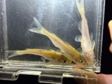 | Ictalurus punctatus (Rafinesque, 1818) | 1893 | P. Kirsch | Auglaize River, Oakwood, Ohio |
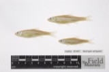 | Notropis whipplei (Girard, 1856) | 1893 | P. Kirsch | Auglaize River, Oakwood, Ohio |
 | Porzana carolina (Linnaeus, 1758) | 1910 | Price, H. (Homer) | Paulding, Ohio, USA |
 | Sturnella magna (Linnaeus, 1758) | 1912 | Price, H. (Homer) | Paulding, Ohio, USA |
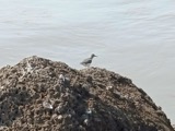 | Actitis macularius (Linnaeus, 1766) | 1916 | Price, H. (Homer) | Payne, Crooked Creek bottoms, Paulding, Ohio, USA |
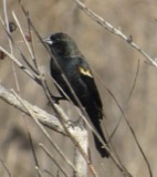 | Agelaius phoeniceus (Linnaeus, 1766) | 1916 | Price, H. (Homer) | Payne, Crooked Creek bottoms, Paulding, Ohio, USA |
 | Bombycilla cedrorum Vieillot, 1808 | 1916 | Price, H. (Homer) | Payne within corporation, Paulding, Ohio, USA |
All 718 specimens within 10 miles, at the Global Biodiversity Information Facility.
Mines and quarries near this place
4 within 5 milesRegional context, not property-specific evidence. The federal mineral resources record lists 4 workings within 5 miles of Fort Brown: 3 past producers, 1 plant. 1 still produces. What was taken out: Clay, Limestone, General, Stone, Crushed/Broken. Distance is straight-line from the map coordinates, so a quarry counted here may appear on a neighbouring settlement's page as well.
| Where | Site | Commodity | Status | Recorded |
|---|---|---|---|---|
| Auglaize Limestone Quarry | Limestone, General | Past Producer | Sedimentary | |
| Auglaize Plant | Stone, Crushed/Broken | Plant | ||
| Baughman Clay Mine | Clay | Past Producer | Sedimentary | |
| Baughman Clay Mine | Clay | Past Producer |
Nearest settlements
The eight closest, with where each one stands in the county. Distances are straight-line, computed from the Geographic Names Information System coordinates.
| Map | Place | Distance | Sheets |
|---|---|---|---|
| Canalport | 0.5 miles | 10 | |
| Saint Andrews (historical) | 0.6 miles | 10 | |
| Melrose | 1.4 miles | 10 | |
| Charloe | 1.5 miles | 10 | |
| Newburgh (historical) | 2.1 miles | 10 | |
| Oakwood | 2.4 miles | 10 | |
| Goodwin (historical) | 2.4 miles | 10 | |
| Etties-Burg (historical) | 3.4 miles | 12 |
Provenance
This settlement is recorded in the Geographic Names Information System as feature 1066005. The sheet list is computed by point-in-boundary test against the United States Geological Survey's historical topographic inventory. Both are works of the United States government and carry no copyright under 17 U.S.C. 105.
Specimens. Global Biodiversity Information Facility (GBIF), https://www.gbif.org/. Only records licensed CC0 or CC BY are used. Records licensed CC BY-NC are excluded because this site carries advertising. Images are checked individually and any whose licence is non-commercial, no-derivatives or unreadable is refused.
Mines and quarries. USGS Mineral Resources Data System (MRDS) https://mrdata.usgs.gov/mrds/ A work of the United States government, no copyright under 17 U.S.C. 105.