 Block
Block
Oakwood, Ohio
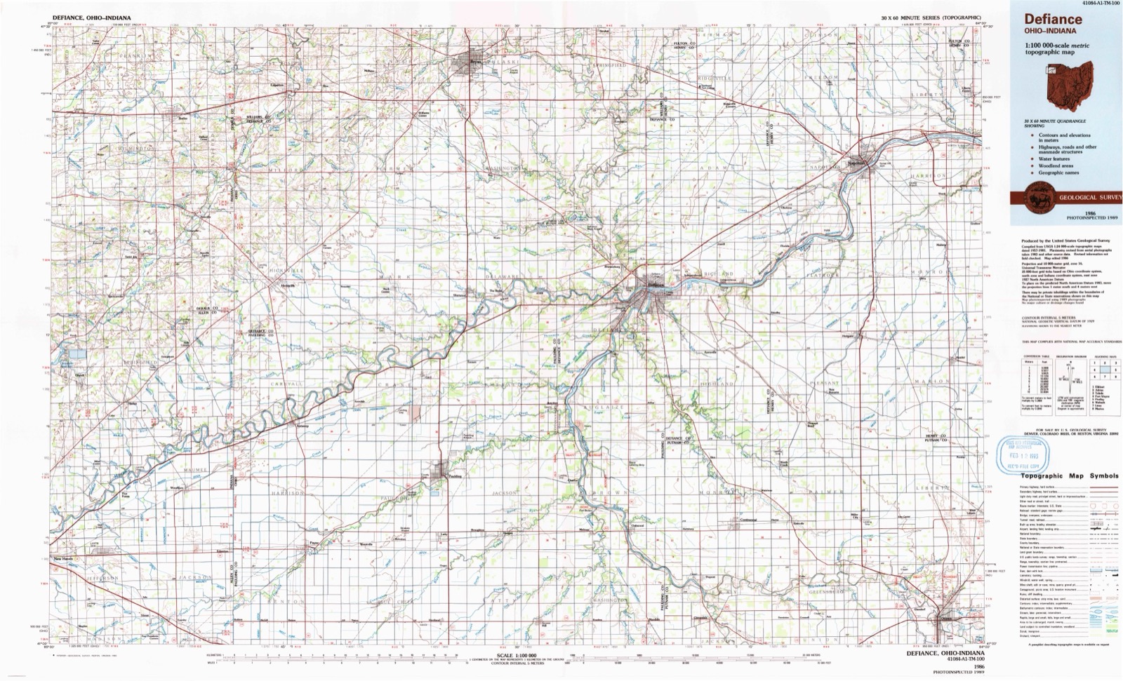
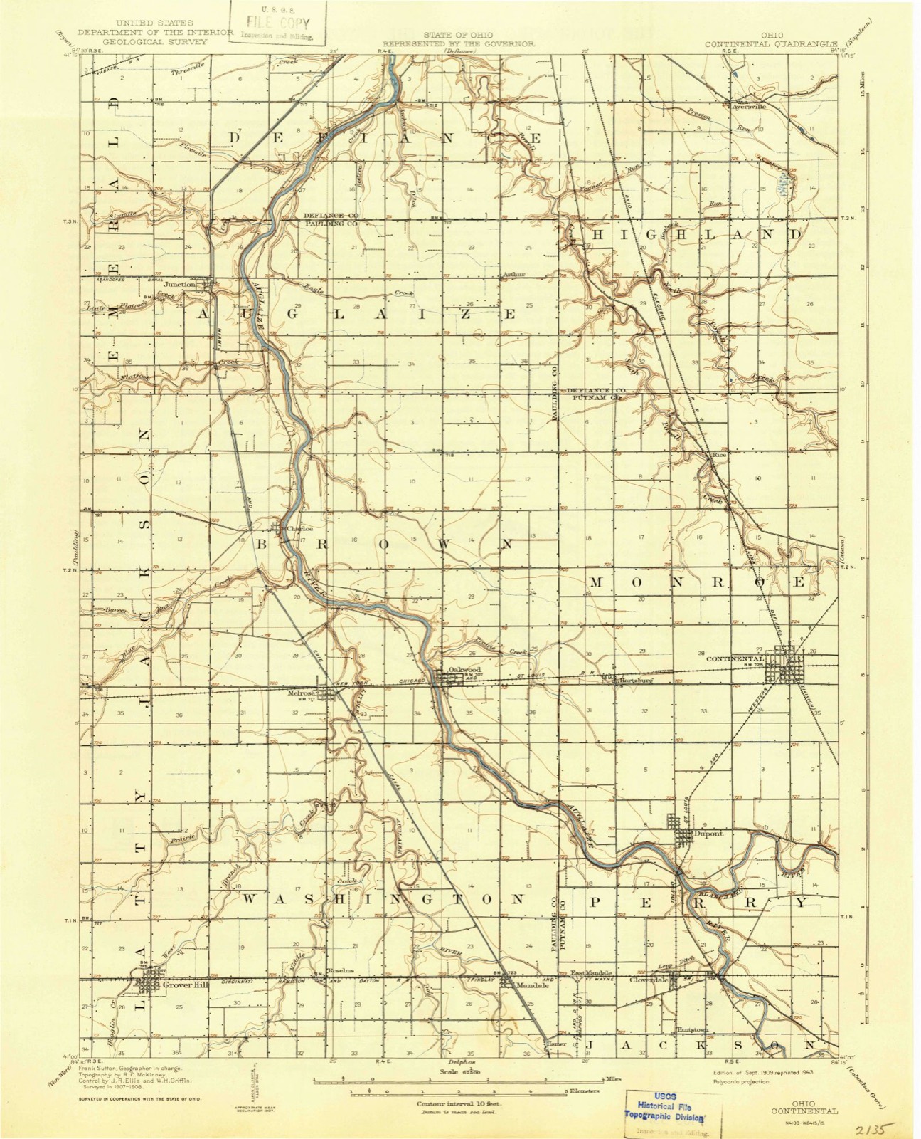
10 topographic sheets cover this place, the earliest surveyed in 1909 and the latest in 1986. It stands in Brown Township. It lies in ZIP code area 45873. It stands on Prairie Creek. The Survey maps it on the Oakwood quadrangle.
Then and now
1909 to 1986The same ground, surveyed 77 years apart. Drag the handle to wipe between them. Both sheets are United States Geological Survey originals; neither has been altered.
Compare 1909 against another survey:
Topographic sheets covering this place
10 sheetsMatched by testing this settlement's coordinate against the published boundary of every sheet in the United States Geological Survey's historical collection. Each opens the scanned sheet at the Survey.
- 1909 USGS Continental quadrangle1:62500
- 1953 USGS Fort Wayne quadrangle1:250000
- 1953 USGS Fort Wayne quadrangle1:250000
- 1953 USGS Fort Wayne quadrangle1:250000
- 1953 USGS Fort Wayne quadrangle1:250000
- 1956 USGS Fort Wayne quadrangle1:250000
- 1956 USGS Fort Wayne quadrangle1:250000
- 1960 USGS Oakwood quadrangle1:24000
- 1960 USGS Oakwood quadrangle1:24000
- 1986 USGS Defiance quadrangle1:100000
Specimens collected nearby
12 of 110 shownMuseums hold 110 specimens collected within 10 miles of Oakwood between 1893 and 1973: 110 Animalia. 12 distinct Species records are shown. Collected by Angle, E. (Eric) & Trautman, M. B. (Milton Bernard), Angle, E. (Eric), Trautman, M. B. (Milton Bernard) & Hoschak, J. (John), CLARENCE CLARK and others. Each is a physical object with a catalogue number, and each entry opens the museum's record. This is what was collected and kept, not a survey of what lives here - nothing can be concluded from a species being absent.
| Image | Species | Year | Collected by | Where, as recorded |
|---|---|---|---|---|
 | Ambloplites rupestris (Rafinesque, 1817) | 1893 | P. Kirsch | Auglaize River, Oakwood, Ohio |
 | Ericymba buccata Cope, 1865 | 1893 | P. Kirsch | Auglaize River, Oakwood, Ohio |
 | Ictalurus punctatus (Rafinesque, 1818) | 1893 | P. Kirsch | Auglaize River, Oakwood, Ohio |
 | Notropis whipplei (Girard, 1856) | 1893 | P. Kirsch | Auglaize River, Oakwood, Ohio |
 | Agelaius phoeniceus phoeniceus (Linnaeus, 1766) | 1928 | not recorded | Auglaize River, Junction |
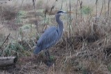 | Ardea herodias Linnaeus, 1758 | 1929 | H. I. Pierce | Grover Hill |
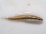 | Fundulus notatus (Rafinesque, 1820) | 1940 | Rhoades, R. (Randall) | Little Auglaize River, within Paulding Co, Paulding County, township n/a |
 | Orconectes immunis (Hagen, 1870) | 1940 | R. Rhoades & C. Clark | Little Auglaize River, 2 miles South of Mandale |
 | Orconectes rusticus (Girard, 1852) | 1940 | R. Rhoades & C. Clark | Little Auglaize River, 2 mi. S. of Mandale |
 | Somatochlora linearis (Hagen, 1861) | 1941 | H. Price | Benton Township, Flatrock Creek |
 | Aeshna constricta Say, 1840 | 1942 | H. Price | Flatrock Creek, Benton Township |
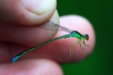 | Enallagma antennatum (Say, 1840) | 1942 | H. Price | mouth of Blue Creek |
All 110 specimens within 10 miles, at the Global Biodiversity Information Facility.
Mines and quarries nearby
1 within 5 milesThe federal mineral resources record lists 1 working within 5 miles of Oakwood: 1 past producer. None of them still produces. What was taken out: Limestone, General. Distance is straight-line from the map coordinates, so a quarry counted here may appear on a neighbouring settlement's page as well.
| Where | Site | Commodity | Status | Recorded |
|---|---|---|---|---|
| Auglaize Limestone Quarry | Limestone, General | Past Producer | Sedimentary |
Storms nearby
9 since 1995The National Weather Service names Oakwood in 9 storm reports between 1995 and 2021: 6 thunderstorm wind, 2 hail, 1 tornado. The reports record 1 injury. Each account below is quoted exactly as the forecast office filed it, from the NOAA Storm Events Database, and each date opens the federal record of that event.
| When | Event | Place named | Harm | What the report says |
|---|---|---|---|---|
| August 2000 | Thunderstorm Wind | Oakwood | 1 hurt, $10,000 | Mobile home blown over. |
| June 1995 | Thunderstorm Wind | Oakwood | $4,000 | Several large trees downed. |
| August 2021 | Thunderstorm Wind | Oakwood | - | Several trees down (8 to 10) around town. |
| June 2015 | Thunderstorm Wind | Oakwood | - | A trained spotter reported several eight to ten inch diameter tree limbs were blown down. |
| August 2011 | Thunderstorm Wind | Oakwood | - | Law enforcement officials reported numerous trees and power lines down in and around Oakwood. |
| October 2010 | Tornado (EF1) | Oakwood | - | A survey of damage near the Paulding and Putnam County line confirmed a circulation touched down on County Road 205, between County Road 263 and Township Highway T-211. Trees were damaged near the point of touchdown, with a barn suffered roof damage. The tornado tracked over open fields for nearly a mile before crossing into Putnam County, north of Township Road G-24. While the maximum intensity of the tornado track has been determined to be an EF1, the damage in Paulding County is consistent with EF0 damage and maximum estimated winds of around 80 mph. |
| September 2001 | Thunderstorm Wind | Oakwood | - | Power lines blown down. |
| May 1999 | Hail | Oakwood | - | NWS spotter reported 1 1/2 inch diameter hail in Oakwood. |
| March 2016 | Hail | Oakwood | - | no account filed |
Nearest settlements
The eight closest, with where each one stands in the county. Distances are straight-line, computed from the Geographic Names Information System coordinates.
| Map | Place | Distance | Sheets |
|---|---|---|---|
| Etties-Burg (historical) | 1.1 miles | 12 | |
| Newburgh (historical) | 1.7 miles | 10 | |
| Melrose | 2.1 miles | 10 | |
| Murat (historical) | 2.3 miles | 10 | |
| Fort Brown | 2.4 miles | 10 | |
| Saint Andrews (historical) | 2.5 miles | 10 | |
| Canalport | 2.9 miles | 10 | |
| Timberville (historical) | 3.3 miles | 10 |
Provenance
This settlement is recorded in the Geographic Names Information System as feature 1084031. The sheet list is computed by point-in-boundary test against the United States Geological Survey's historical topographic inventory. Both are works of the United States government and carry no copyright under 17 U.S.C. 105.
Specimens. Global Biodiversity Information Facility (GBIF), https://www.gbif.org/. Only records licensed CC0 or CC BY are used. Records licensed CC BY-NC are excluded because this site carries advertising. Images are checked individually and any whose licence is non-commercial, no-derivatives or unreadable is refused.
Mines and quarries. USGS Mineral Resources Data System (MRDS) https://mrdata.usgs.gov/mrds/ A work of the United States government, no copyright under 17 U.S.C. 105.
Storms. NOAA National Centers for Environmental Information, Storm Events Database https://www.ncei.noaa.gov/stormevents/ A work of the United States government, no copyright under 17 U.S.C. 105. Narratives are quoted verbatim from the National Weather Service report and are not edited or summarised.