 Block
Block
Garrettsville, Ohio
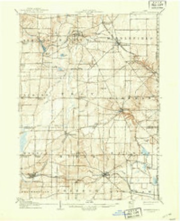
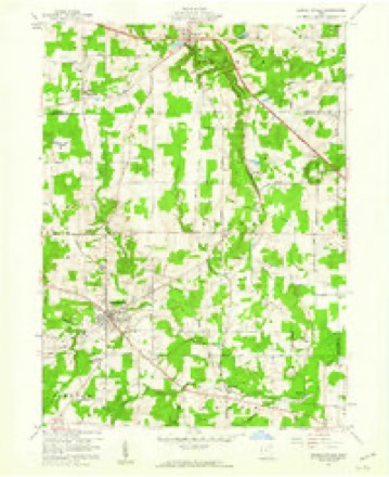
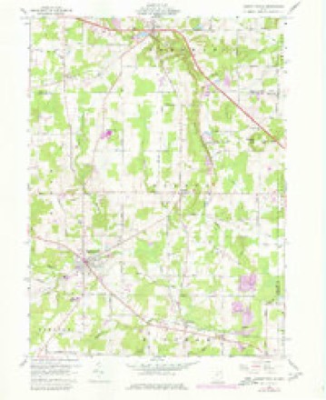
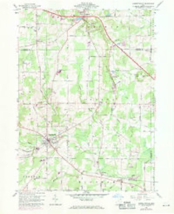
13 topographic sheets cover this place, the earliest surveyed in 1905 and the latest in 1994. It stands in Garrettsville Village. It lies in ZIP code area 44231. It stands on Camp Creek. The Survey maps it on the Garrettsville quadrangle. 2,449 people lived here at the 2020 count. It stands 994 feet above sea level.
Population over time
2 figuresGarrettsville grew from 2,325 to 2,449 between 2010 and 2020. These are the recorded population figures Wikidata holds for this place, reached through the Geographic Names Information System number this page is keyed on rather than by name, so they belong to this place and not to another of the same name. Most are census counts, but not all are: an early figure may be a founding or settlement estimate. The change column is computed, and is left blank where more than 20 years separate a figure from the one before it, because a gap that long is not a change between two counts.
| Year | People | Change |
|---|---|---|
| 2010 | 2,325 | |
| 2020 | 2,449 | +124 (+5%) |
Then and now
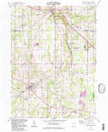
1905 to 1994The same ground, surveyed 89 years apart. Drag the handle to wipe between them. Both sheets are United States Geological Survey originals; neither has been altered.
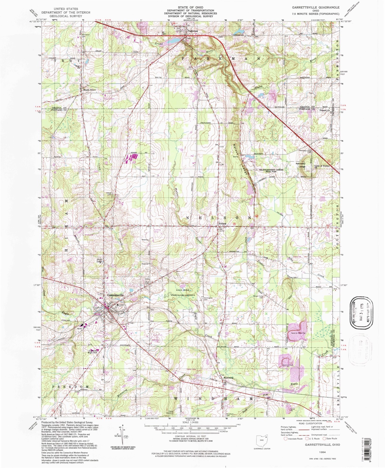
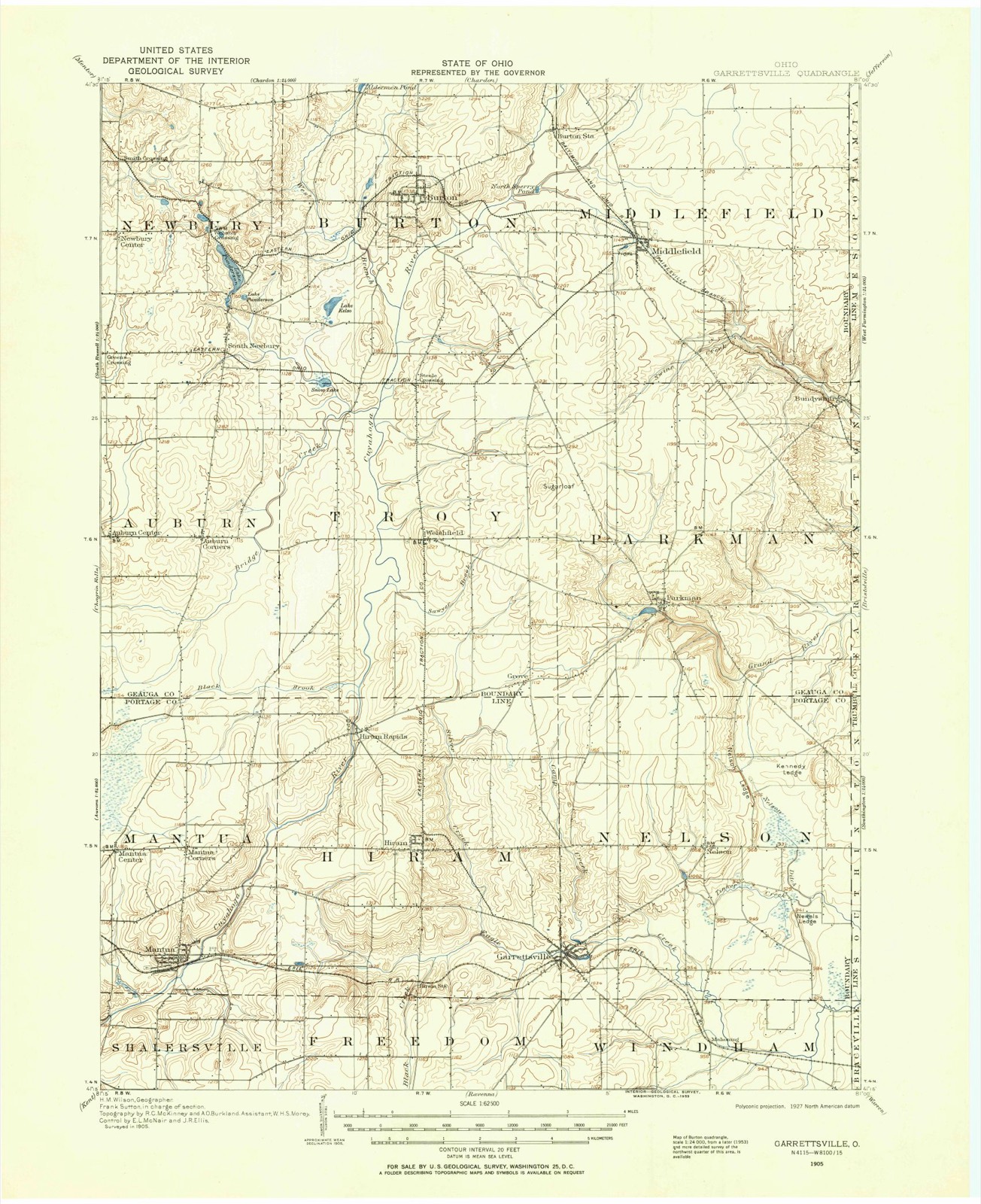
Compare 1905 against another survey:
Topographic sheets covering this place
13 sheetsMatched by testing this settlement's coordinate against the published boundary of every sheet in the United States Geological Survey's historical collection. Each opens the scanned sheet at the Survey.
- 1905 USGS Garrettsville quadrangle1:62500
- 1907 USGS Garrettsville quadrangle1:62500
- 1907 USGS Garrettsville quadrangle1:62500
- 1956 USGS Cleveland quadrangle1:250000
- 1956 USGS Cleveland quadrangle1:250000
- 1956 USGS Cleveland quadrangle1:250000
- 1959 USGS Garrettsville quadrangle1:24000
- 1959 USGS Garrettsville quadrangle1:24000
- 1959 USGS Garrettsville quadrangle1:24000
- 1962 USGS Cleveland quadrangle1:250000
- 1986 USGS Cleveland South quadrangle1:100000
- 1994 USGS Cleveland South quadrangle1:100000
- 1994 USGS Garrettsville quadrangle1:24000






In the county-history sources
4,917 words on this townshipHistory of Portage County, Ohio, published 1885 names this settlement in its chapter on Garrettsville Village. These are the passages that mention it, exactly as the scans read.
The nucleus around which afterward clustered the village of Garrettsville was established by Col. John GaxTett, who arrived from Delaware in Ju^y, 1804, and made the first settlement. He brought with him a man named Dyson, a blacksmith and gun repairer, who was of great use to the surrounding settlements. Shortly after coming Col. Garrett lost a son, who died in
Passage source: History of Portage County, Ohio, published 1885.
For many years there was only slight improvement in the settlement established by Col. Garrett, there being scarcely anything more than thfe mill and a few other buildings, no attempt being made to aspire to the proportions of a village. In fact, till there was talk of a railroad, and even after its construction for a time, Garrettsville was simply a Four Corners. After the war, however, a boom struck the little village, and it has been steadily growing ever since, until now it is the busiest and most progressive town in the county in proportion to population.
Passage source: History of Portage County, Ohio, published 1885.
In 1864 the village was incorporated, and began to assume some importance as a trade center. The people now could elect their own officers and conduct their internal affairs as they pleased, but still being under the wing of the township organization they were hampered somewhat, so they petitioned the County Commissioners in 1874 to set apart their territory, about one mile and a half square, as a separate and independent township. Now this request being granted on July 6, 1874, and still retaining the privileges as an incorporate village, Garrettsville presents the spectacle of what the Greeks would have called a duarchy. They have two sets of officers, having an election for each, held at the same time and same voting place, in separate boxes, and yet there is no clashing of authority. The officers dovetail, as it were, so nicely that, notwithstanding the fact that the territory of the village and the territory of the township are co-extensive, yet all moves on harmoniously with the duplex arrangement. There is said to be but one other combination of the kind in Ohio. There are no Trustees, however, as a Board of Councilmen perform their duties, and the same Clerk, Ti'easurer and Assessor serve both organizations, yet are elected separately, to fu.]fill the requirements of the law.
Passage source: History of Portage County, Ohio, published 1885.
Machine-read from a century-old scan, so expect the errors a machine makes: misspelled names, dropped words, stray characters.
Read the whole chapter on Garrettsville Village - it names this place 12 more 12 times.
Fires near this place
3 since 2020Regional context, not property-specific evidence. The federal wildfire occurrence database lists 3 fires within 5 miles of Garrettsville between 2020 and 2020, burning about 1 acres in total. None started naturally. None was recorded as arson. Distance is straight-line from the map coordinates, so a fire counted here may appear on a neighbouring settlement's page as well.
| Reported cause | Fires |
|---|---|
| Debris and open burning | 2 |
| Missing data/not specified/undetermined | 1 |
The most recent of them, most recent first, with the day each was reported and the service that recorded it.
| Date | Cause | Size | Reported by | Name on the report |
|---|---|---|---|---|
| 4 November 2020 | Missing data/not specified/undetermined | under an acre | Ohio Department of Natural Resources | 16003 |
| 20 November 2020 | Debris and open burning | under an acre | Ohio Department of Natural Resources | 16005 |
| 17 November 2020 | Debris and open burning | under an acre | Ohio Department of Natural Resources | 16004 |
Settlements close enough to share some of these fires:
Specimens collected near this place
12 of 402 shownRegional context, not property-specific evidence. Museums hold 402 specimens collected within 10 miles of Garrettsville between 1884 and 1975: 277 Animalia, 121 Plantae, 4 Unrecorded. 12 distinct Species records are shown. Collected by A. D. Huryn, A. F. Clewell, A. Woolman and others. Each is a physical object with a catalogue number, and each entry opens the museum's record. This is what was collected and kept, not a survey of what lives here - nothing can be concluded from a species being absent.
| Image | Species | Year | Collected by | Where, as recorded |
|---|---|---|---|---|
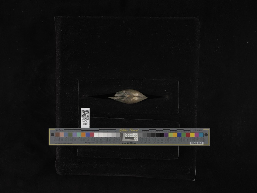 | Pyganodon grandis (Say, 1829) | 1884 | G. Dean | Garretsville |
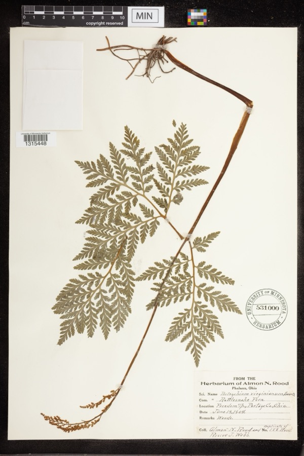 | Botrychium virginianum (L.) Sw. | 1904 | Rood, Almon N.; Roscoe J. Webb | Freedom Twp |
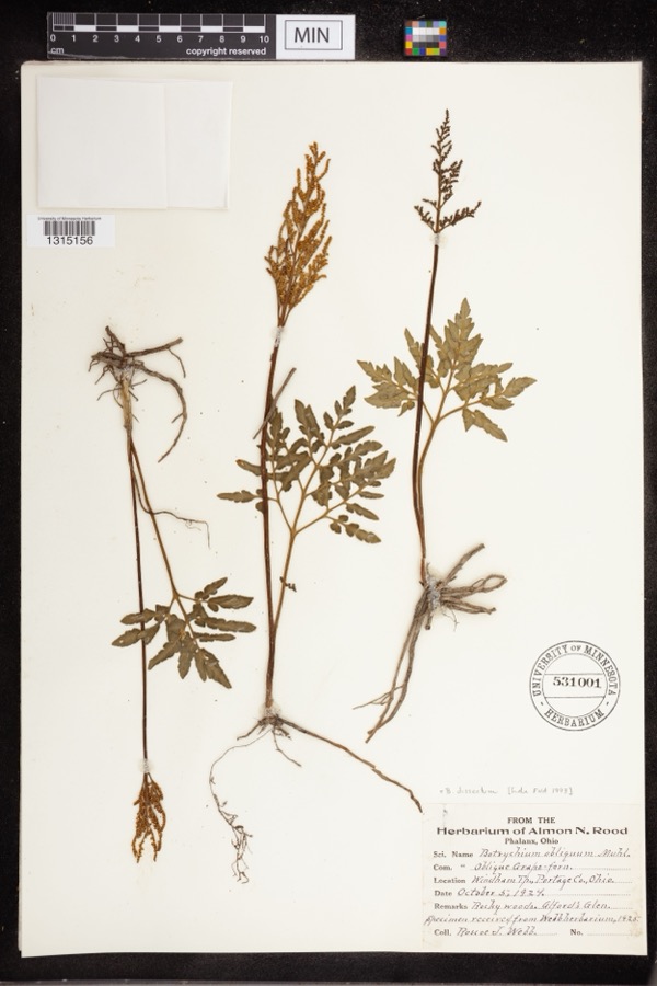 | Botrychium dissectum Spreng. | 1924 | Webb, Roscoe J. | Alford's Glen |
 | Lepidozia reptans (L.) Dumort. | 1884 | Czekaj | |
 | Melanerpes carolinus (Linnaeus, 1758) | 1885 | Collector(s): S. N. Denton | Windham |
 | Ambloplites rupestris (Rafinesque, 1817) | 1893 | A. Woolman | Cuyahoga River, Mantau, Ohio |
 | Ambystoma maculatum (Shaw, 1802) | 1893 | not recorded | Garrettsville |
 | Catostomus commersonii (Lacepède, 1803) | 1893 | A. Woolman | Cuyahoga River, Mantau, Ohio |
 | Esox americanus vermiculatus Lesueur, 1846 | 1893 | A. Woolman | Cuyahoga River, Mantau, Ohio |
 | Etheostoma blennioides Rafinesque, 1819 | 1893 | A. Woolman | Cuyahoga River, Mantau, Ohio |
 | Notropis cornutus (Mitchill, 1817) | 1893 | A. Woolman | Cuyahoga River, Mantau, Ohio |
 | Rhinichthys atratulus (Hermann, 1804) | 1893 | A. Woolman | Cuyahoga River, Mantau, Ohio |
All 402 specimens within 10 miles, at the Global Biodiversity Information Facility.
Mines and quarries near this place
3 within 5 milesRegional context, not property-specific evidence. The federal mineral resources record lists 3 workings within 5 miles of Garrettsville: 2 past producers, 1 producer. 1 still produces. What was taken out: Stone, Crushed/Broken, Sand and Gravel, Construction. Distance is straight-line from the map coordinates, so a quarry counted here may appear on a neighbouring settlement's page as well.
| Where | Site | Commodity | Status | Recorded |
|---|---|---|---|---|
| Miller Pit | Sand and Gravel, Construction | Producer | ||
| Portage Plant | Stone, Crushed/Broken | Past Producer | Sedimentary | |
| Portage Quarry | Stone, Crushed/Broken | Past Producer |
Storms near this place
22 since 1998Regional context, not property-specific evidence. The National Weather Service names Garrettsville in 22 storm reports between 1998 and 2026: 11 hail, 11 thunderstorm wind. No death or injury is recorded in these reports. Each account below is quoted exactly as the forecast office filed it, from the NOAA Storm Events Database, and each date opens the federal record of that event.
| When | Event | Place named | Harm | What the report says |
|---|---|---|---|---|
| April 2023 | Thunderstorm Wind | Garrettsville | $30,000 | Large tree was downed onto mobile home in Garrettsville. Mobile home was damaged. |
| July 2008 | Thunderstorm Wind | Garrettsville | $25,000 | Thunderstorm winds toppled 20 trees at a golf course. |
| April 2002 | Hail | Garrettsville | $25,000 | Golf ball size hail was reported. |
| September 2010 | Thunderstorm Wind | Garrettsville | $15,000 | Thunderstorm winds downed several trees along State Route 88. |
| July 2013 | Thunderstorm Wind | Garrettsville | $10,000 | Thunderstorm winds downed several trees. |
| July 2008 | Hail | Garrettsville | $10,000 | Nickel to quarter size hail was observed. |
| May 2011 | Thunderstorm Wind | Garrettsville | $7,000 | Thunderstorm winds downed four trees near Garrettsville. |
| May 1998 | Thunderstorm Wind | Garrettsville | $2,000 | Several large tree limbs were downed. |
| April 2026 | Thunderstorm Wind | Garrettsville | - | Numerous trees downed and tree limbs snapped in Garrettsville. |
| August 2024 | Thunderstorm Wind | Garrettsville | - | Several trees snapped, one of which fell onto a car, about three-miles ENE of Garrettsville. |
| August 2021 | Thunderstorm Wind | Garrettsville | - | Numerous trees and power lines downed in Garrettsville. |
| July 2020 | Thunderstorm Wind | Garrettsville | - | Several downed trees blocking road at Sugar Bush Golf Club north of Garrettsville. |
| November 2020 | Thunderstorm Wind | Garrettsville | - | Several large trees down in Garrettsville. |
| March 2012 | Hail | Garrettsville | - | Penny sized hail was observed. |
| May 2011 | Hail | Garrettsville | - | Penny sized hail was observed. |
| September 2011 | Hail | Garrettsville | - | Quarter sized hail was observed. |
| June 2008 | Hail | Garrettsville | - | Penny size hail was observed. |
| May 2007 | Hail | Garrettsville | - | Penny size hail was observed. |
| May 2003 | Hail | Garrettsville | - | Penny size was observed five miles northeast of Garrettsville. |
| August 2002 | Hail | Garrettsville | - | Dime size hail was observed. |
| April 1998 | Hail | Garrettsville | - | no account filed |
| April 1998 | Hail | Garrettsville | - | no account filed |
Nearest settlements
The eight closest, with where each one stands in the county. Distances are straight-line, computed from the Geographic Names Information System coordinates.
| Map | Place | Distance | Sheets |
|---|---|---|---|
| Homestead Manor | 1.3 miles | 13 | |
| P And M Estates | 2.4 miles | 13 | |
| Jeddoe | 2.6 miles | 13 | |
| Nelson | 3.0 miles | 13 | |
| Blackbrook Valley Estates | 3.0 miles | 13 | |
| Mahoning | 3.1 miles | 13 | |
| Hiram | 3.2 miles | 13 | |
| Drakesburg | 3.9 miles | 15 |
Elsewhere
Matched on this settlement's Geographic Names Information System number rather than its name, so it cannot be a different place of the same name in another state.
| Wikipedia article on Garrettsville | An encyclopaedic summary. Its text is share-alike, so it is linked here rather than copied. |
| Wikidata item Q1494483 | The structured record the population and elevation above come from. Public domain (CC0). |
Provenance
This settlement is recorded in the Geographic Names Information System as feature 1064704. The sheet list is computed by point-in-boundary test against the United States Geological Survey's historical topographic inventory. Both are works of the United States government and carry no copyright under 17 U.S.C. 105.
Wildfire. Short, Karen C. 2022. Spatial wildfire occurrence data for the United States, 1992-2020 [FPA_FOD_20221014]. 6th Edition. Fort Collins, CO: Forest Service Research Data Archive. https://doi.org/10.2737/RDS-2013-0009.6 Collected with United States Government funding and usable without additional permissions or fees.
Specimens. Global Biodiversity Information Facility (GBIF), https://www.gbif.org/. Only records licensed CC0 or CC BY are used. Records licensed CC BY-NC are excluded because this site carries advertising. Images are checked individually and any whose licence is non-commercial, no-derivatives or unreadable is refused.
Mines and quarries. USGS Mineral Resources Data System (MRDS) https://mrdata.usgs.gov/mrds/ A work of the United States government, no copyright under 17 U.S.C. 105.
Storms. NOAA National Centers for Environmental Information, Storm Events Database https://www.ncei.noaa.gov/stormevents/ A work of the United States government, no copyright under 17 U.S.C. 105. Narratives are quoted verbatim from the National Weather Service report and are not edited or summarised.