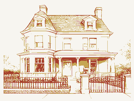
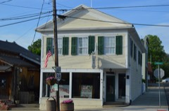
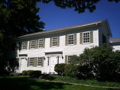
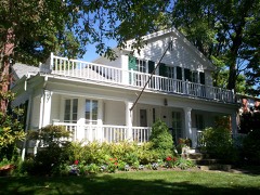
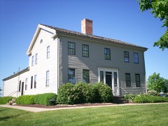
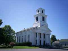
Listed on the National Register of Historic Places in
1975. A historic map-sheet match is not published yet. The record needs a coordinate-quality review before it can be joined to a sheet boundary.
From the record
“Mantua Center has two notable clubs, the Girl's and Boy's Hi-Y. The Girl's Hi-Y have many plans Tor the near future.”
1927 Portage County High School Yearbook (1927). Machine-read text.
one of 42 National Register listings in Portage County · listed in 1975 · category: Building.
National Register reference number.75001523- the number the National Park Service assigned this property when it was listed, and the key its nomination file is catalogued under at the National Archives.
Mantua Center has two notable clubs, the Girl's and Boy's Hi-Y. The Girl's Hi-Y have many plans Tor the near future. First of all, they have been asked to give an entertainment before the High School and the Farm Bureau, They also plan to attend the Flower Show in Cleveland, are to be remembered for the ng with the III. V Boys of Ravenna, Hiram, and Garrettsville. They also entertained the high school to a wiener roast, and the Hi-Y Girls to a sleigh ride party,
Regional context, not property-specific
evidence. The
federal wildfire occurrence database
lists 3 fires within 5 miles of Ellenwood House between
2020 and 2020, burning about 1 acres in total. None started naturally. None was recorded as arson.
Distance is straight-line from the map coordinates, so a fire counted
here may appear on a neighbouring settlement's page as well.
Reported cause
Fires
Debris and open burning
2
Missing data/not specified/undetermined
1
The most recent of
them, most recent first, with the day each was reported and the service
that recorded it.
Regional context, not property-specific
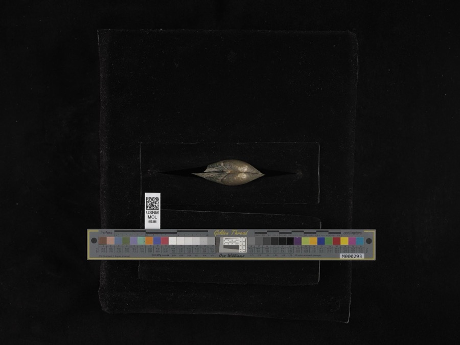
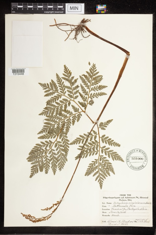
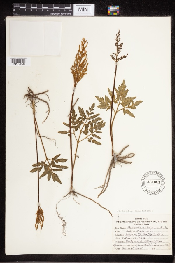
evidence. Museums hold 404 specimens
collected within 10 miles of Ellenwood House between 1884 and
1975: 279 Animalia, 121 Plantae, 4 Unrecorded. 12 distinct Species records are shown.
Collected by A. D. Huryn, A. F. Clewell, A. Woolman and others. Each is a
physical object with a catalogue
number, and each entry opens the museum's record. This is what was
collected and kept, not a survey of what lives here - nothing can be
concluded from a species being absent.
Regional context, not property-specific
evidence. The federal mineral resources record lists
1 working within 5 miles of Ellenwood House: 1 past producer.
None of them still produces. What was taken out: Stone, Crushed/Broken. Distance is straight-line from the
map coordinates, so a quarry counted here may appear on a neighbouring
settlement's page as well.
Regional context, not property-specific
evidence. The National Weather Service names
Garrettsville, the town this property stands in, in 22 storm reports between 1998 and 2026: 11 hail, 11 thunderstorm wind.
No death or injury is recorded in these reports. Each account below is quoted exactly as the forecast office
filed it, from the NOAA Storm Events Database, and each date
opens the federal record of that event.
No historic map-sheet match is published
for this property yet. That does not mean no map exists. This record needs
a coordinate-quality review before it can be joined to a sheet boundary.
Browse the county's mapped places while that work is
pending.
From the nomination file
1,756 words on record
When this property was proposed for the
National Register, someone wrote the case for it: what the building is,
and why it matters. That document is a federal record in the public domain.
It is quoted below word for word, never summarised. The text was read off the scanned case file by machine, so the
occasional stray character is the recogniser's and the 1970s
typewriter's.
Description of the property
entrance of the noted Pomeroy House in Strongsville, Ohio, which Original Site rather than the partial cornice return of the Greek Revival. for inspection at the present time.The house stands on a high Good PERIOD (Check One or More as Appropriate) - Pre-Columbian; X 19th Century - Urban Planning - Other (Specify) Landscape - Literature STATEMENT OF
Statement of significance
house. It belonged to the Ellenwood family, but we only know that Garrettsville in 1885, and a Daniel Ellinwood, Jr. (sic) established developed Greek Revival doorway, complete pediment, and unusual - NATIONAL Conservation Architecture Commerce SIGNIFICANCE Communications Transportation losophy Aboriginal REGISTER nineteenth century architecture. Military Religion/Phi itarian Music Education Agriculture MAY21975 Engineering Theater Invention Prehistoric from the late Adam-Greek Revival transitional period unprecedented Industry positively associated with this house. Very little documentary evidence is available concerning the extant in Northeastern Ohio.
Science frieze and dentils make this an exceptional example of early Social/Human- Political several houses on the same road as the Ellenwood house, can be Sculpture Garrettsville was carved out of the southwest corner of Nelson in the Hiram-Garrettsville area. However, neither Pelatiah Allyn, Township, settled in 1799.There were two known master builders builder of the Western Reserve Eclectic Institute building (later In any case, the combination of two-story pilasters, a fully one R.T.Ellenwood was a member of the Methodist Church in among the large number of houses from the same period still This is a house with a combination of architectural details Township, first settled in 1804, and the southeast corner of Hiram a sawmill there in 1857.
SPECIFIC DATE(S) (If Applicable and Known) MAY 2 Hiram College) in Hiram in 1850, nor Sherman Leach, builder of AREAS OF SIGNIFICANCE (Check One or More as Appropriate) Art History of Portage County, Ohio (Chicago, 1885), 459-475. Atlas of Portage County, Ohio (Cleveland, 1900), 39. LATITUDE AND LONGITUDE COORDINATES DEFINING A RECTANGLE LOCATING THE PROPERTY DEFINING THE LENTER POIN I OF A PHOPERTY OF LESS THAN TEN ACRES ILIST ALL STATES AND COUNTIES FOR PROPERTIES OVERLAPPING STATE OR COUNTY BOUNDARIES MAY 2 1975
Quoted from the National Register nomination
for reference 75001523, 11 pages, held by the National Archives in Record
Group 79. See the
catalogue record.
Listed places nearby
6 within 8 miles
Other National Register properties close
enough to walk or drive between, ordered by distance from this one. Both
positions come from the same geocoding pass that matched these properties
to their map sheets.
Listing record. National Park Service National Register of Historic Places, listed-properties dataset, current to 2026-05-22.
Map join. Address geocoded through the United States Census geocoder, then tested against the published boundary of every sheet in the USGS Historical Topographic Map Collection.
How this page is made. Listing fields come from federal records; map-sheet coverage is a labelled coordinate-to-boundary calculation, not a source-field claim.
Wildfire. Short, Karen C. 2022. Spatial wildfire occurrence data for the United States, 1992-2020 [FPA_FOD_20221014]. 6th Edition. Fort Collins, CO: Forest Service Research Data Archive. https://doi.org/10.2737/RDS-2013-0009.6 Collected with United States Government funding and usable without additional permissions or fees.
Specimens. Global Biodiversity Information Facility (GBIF), https://www.gbif.org/. Only records licensed CC0 or CC BY are used. Records licensed CC BY-NC are excluded because this site carries advertising. Images are checked individually and any whose licence is non-commercial, no-derivatives or unreadable is refused.
Mines and quarries. USGS Mineral Resources Data System (MRDS) https://mrdata.usgs.gov/mrds/ A work of the United States government, no copyright under 17 U.S.C. 105.
Storms. NOAA National Centers for Environmental Information, Storm Events Database https://www.ncei.noaa.gov/stormevents/ A work of the United States government, no copyright under 17 U.S.C. 105. Narratives are quoted verbatim from the National Weather Service report and are not edited or summarised.
 Block
Block