 Block
Block
Geauga Lake, Ohio
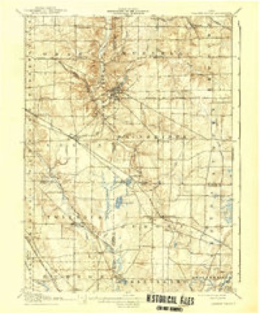
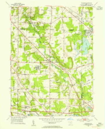
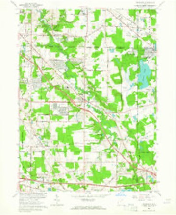
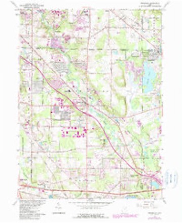
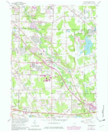
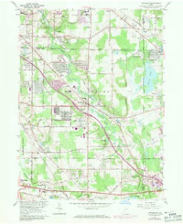
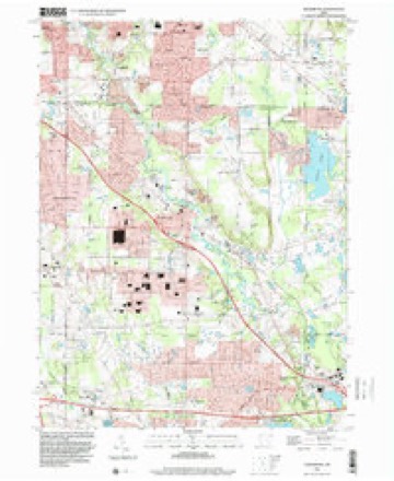
15 topographic sheets cover this place, the earliest surveyed in 1906 and the latest in 1994. It stands in Aurora City. It lies in ZIP code area 44202. The Survey maps it on the Twinsburg quadrangle.
Then and now
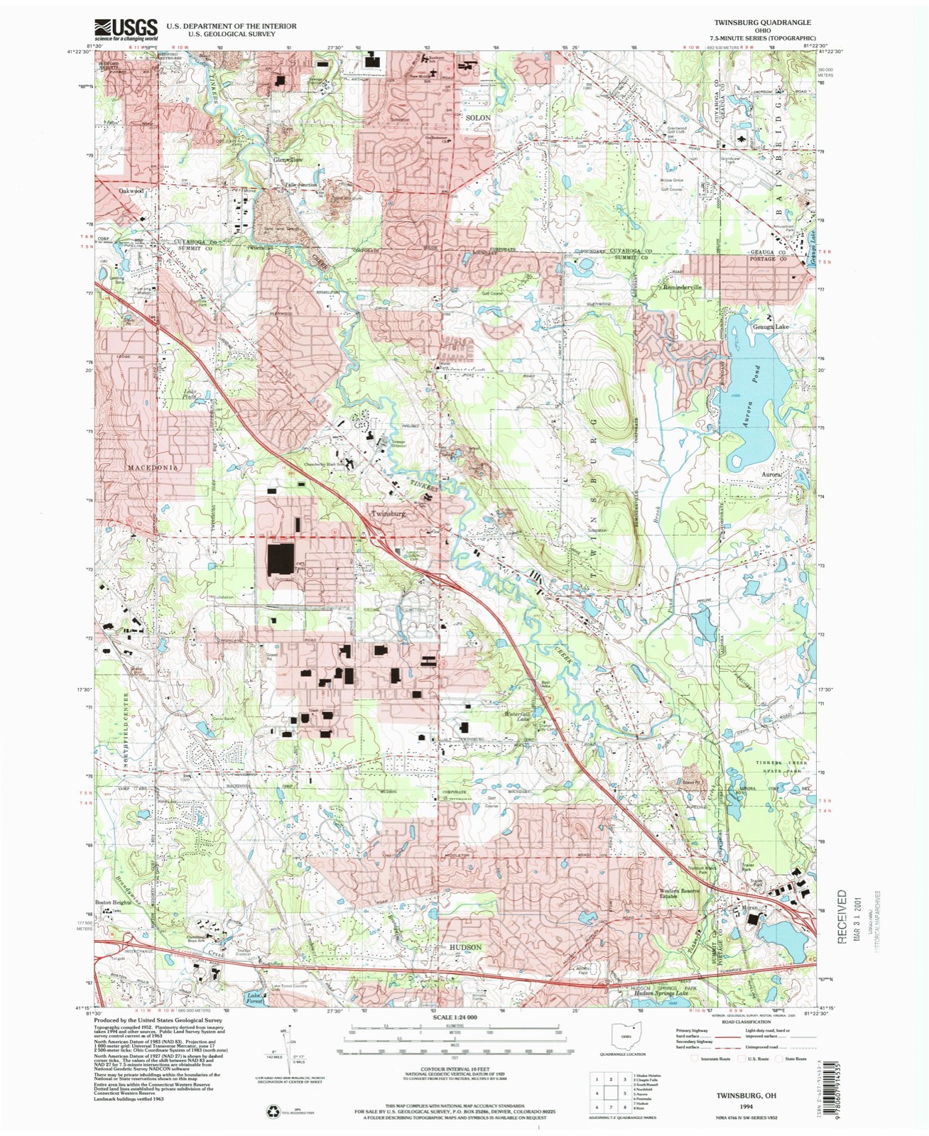
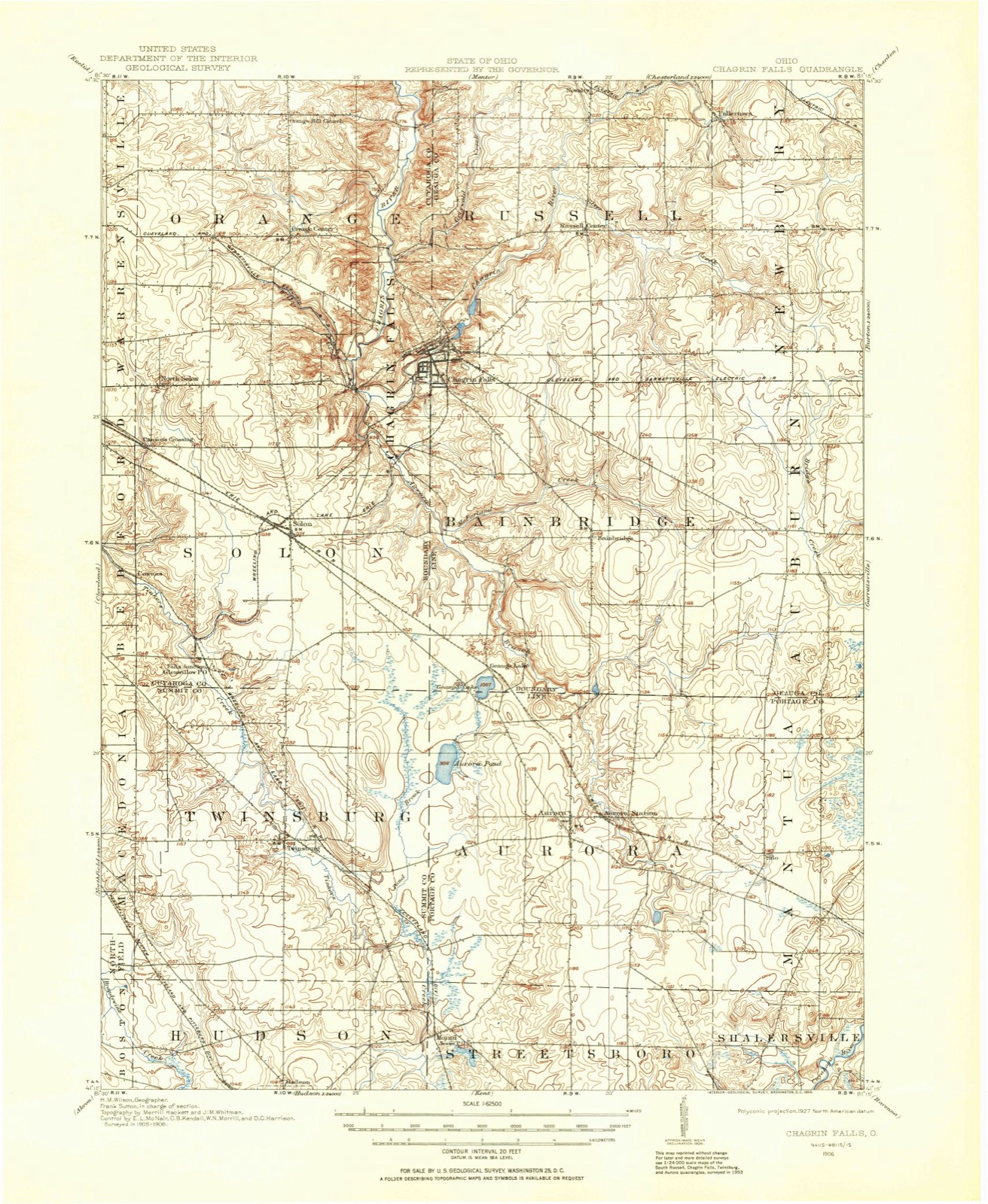
1906 to 1994The same ground, surveyed 88 years apart. Drag the handle to wipe between them. Both sheets are United States Geological Survey originals; neither has been altered.
Compare 1906 against another survey:
Topographic sheets covering this place
15 sheetsMatched by testing this settlement's coordinate against the published boundary of every sheet in the United States Geological Survey's historical collection. Each opens the scanned sheet at the Survey.
- 1906 USGS Chagrin Falls quadrangle1:62500
- 1908 USGS Chagrin Falls quadrangle1:62500
- 1908 USGS Chagrin Falls quadrangle1:62500
- 1953 USGS Twinsburg quadrangle1:24000
- 1956 USGS Cleveland quadrangle1:250000
- 1956 USGS Cleveland quadrangle1:250000
- 1956 USGS Cleveland quadrangle1:250000
- 1962 USGS Cleveland quadrangle1:250000
- 1963 USGS Twinsburg quadrangle1:24000
- 1963 USGS Twinsburg quadrangle1:24000
- 1963 USGS Twinsburg quadrangle1:24000
- 1963 USGS Twinsburg quadrangle1:24000
- 1986 USGS Cleveland South quadrangle1:100000
- 1994 USGS Cleveland South quadrangle1:100000
- 1994 USGS Twinsburg quadrangle1:24000






In the 1885 county history
1,855 words on this townshipThe county history of 1885 has no passage naming this settlement, which was common for the smaller places. Its township is covered in full.
The chapter on Aurora City covers the township.
Read the chapter on Aurora City - 1,855 words.
Specimens collected nearby
12 of 386 shownMuseums hold 386 specimens collected within 10 miles of Geauga Lake between 1893 and 1974: 357 Animalia, 26 Plantae, 3 Fungi. 12 distinct Species records are shown. Collected by A. Woolman, Allen, John, Bruyne P de and others. Each is a physical object with a catalogue number, and each entry opens the museum's record. This is what was collected and kept, not a survey of what lives here - nothing can be concluded from a species being absent.
| Image | Species | Year | Collected by | Where, as recorded |
|---|---|---|---|---|
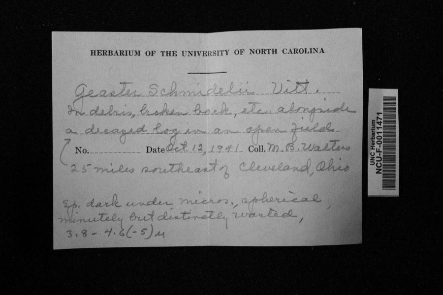 | Geaster P.Micheli ex Fr. | 1941 | Walters, M. B. | 25 miles southeast of Cleveland, Ohio |
 | Ambloplites rupestris (Rafinesque, 1817) | 1893 | A. Woolman | Cuyahoga River, Mantau, Ohio |
 | Catostomus commersonii (Lacepède, 1803) | 1893 | A. Woolman | Cuyahoga River, Mantau, Ohio |
 | Esox americanus vermiculatus Lesueur, 1846 | 1893 | A. Woolman | Cuyahoga River, Mantau, Ohio |
 | Etheostoma blennioides Rafinesque, 1819 | 1893 | A. Woolman | Cuyahoga River, Mantau, Ohio |
 | Notropis cornutus (Mitchill, 1817) | 1893 | A. Woolman | Cuyahoga River, Mantau, Ohio |
 | Rhinichthys atratulus (Hermann, 1804) | 1893 | A. Woolman | Cuyahoga River, Mantau, Ohio |
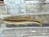 | Semotilus atromaculatus (Mitchill, 1818) | 1893 | Woolman | Cuyahoga Lake, Mantua, Ohio |
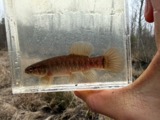 | Umbra limi (Kirtland, 1840) | 1893 | A. Woolman | Cuyahoga River, Mantau, Ohio |
| Stagnicola reflexa (Say, 1821) | 1908 | Collector(s): Joel Asaph Allen | above Mantua, Cuyahoga River, pool in bottom land | |
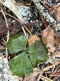 | Coptis trifolia (L.) Salisb. | 1909 | not recorded | Shalersville Twp |
| Euglesa casertana (Poli, 1791) | 1909 | Allen, John | Cuyahoga river, Mantua |
All 386 specimens within 10 miles, at the Global Biodiversity Information Facility.
Mines and quarries nearby
3 within 5 milesThe federal mineral resources record lists 3 workings within 5 miles of Geauga Lake: 2 producers, 1 plant. All of them still produce. What was taken out: Sand and Gravel, Construction. Distance is straight-line from the map coordinates, so a quarry counted here may appear on a neighbouring settlement's page as well.
| Where | Site | Commodity | Status | Recorded |
|---|---|---|---|---|
| Auburn Aggregates Pit & Plant | Sand and Gravel, Construction | Plant | ||
| Leone Pit | Sand and Gravel, Construction | Producer | ||
| Treat Pit | Sand and Gravel, Construction | Producer |
Storms nearby
5 since 2017The National Weather Service names Geauga Lake in 5 storm reports between 2017 and 2024: 4 thunderstorm wind, 1 flash flood. No death or injury is recorded in these reports. Each account below is quoted exactly as the forecast office filed it, from the NOAA Storm Events Database, and each date opens the federal record of that event.
| When | Event | Place named | Harm | What the report says |
|---|---|---|---|---|
| November 2017 | Thunderstorm Wind | Geauga Lake | $3,000,000 | Thunderstorm downburst winds in excess of 100 mph caused extensive damage across northern Portage County. A 105 mph wind gust was measured by an automated sensor in Aurora. Damages stretched from the county line west of Aurora across the northern tier of townships to the eastern end of the county. The damage was most concentrated in Aurora and adjacent Mantua Township. Thousands of trees were downed across the county. Many homes lost roofing or siding and several others were damaged by fallen trees. Many vehicles were reported damaged by flying debris or from fallen trees or limbs. Widespread power outages occurred with full restoration taking around five days. Bleachers at an athletic field at Aurora High School were overturned and destroyed. Several school districts in Portage County were closed on November 6th and some on the 7th because of power outages. Clean up from the storms took weeks. |
| August 2024 | Flash Flood | Geauga Lake | - | Road flooding with several feet of water inundating the road in Reminderville on Aurora Lake Road at Trentstone Circle. |
| August 2023 | Thunderstorm Wind | Geauga Lake | - | Swath of significant tree damage from Shepard Road and I-480 in Twinsburg to Aurora Road and South Chillicothe Road in Aurora. |
| August 2019 | Thunderstorm Wind | Geauga Lake | - | Several large trees were blown down. |
| August 2019 | Thunderstorm Wind | Geauga Lake | - | A large tree was blown down. |
Nearest settlements
The eight closest, with where each one stands in the county. Distances are straight-line, computed from the Geographic Names Information System coordinates.
| Map | Place | Distance | Sheets |
|---|---|---|---|
| Aurora | 2.7 miles | 17 | |
| Moran | 5.6 miles | 15 | |
| Silo | 5.9 miles | 17 | |
| Camelot Village | 6.0 miles | 17 | |
| Streetsboro | 7.5 miles | 14 | |
| Lakeside Terrace | 7.6 miles | 14 | |
| Mantua Center | 7.6 miles | 13 | |
| Freedom Dam | 8.6 miles | 14 |
Provenance
This settlement is recorded in the Geographic Names Information System as feature 1064709. The sheet list is computed by point-in-boundary test against the United States Geological Survey's historical topographic inventory. Both are works of the United States government and carry no copyright under 17 U.S.C. 105.
Specimens. Global Biodiversity Information Facility (GBIF), https://www.gbif.org/. Only records licensed CC0 or CC BY are used. Records licensed CC BY-NC are excluded because this site carries advertising. Images are checked individually and any whose licence is non-commercial, no-derivatives or unreadable is refused.
Mines and quarries. USGS Mineral Resources Data System (MRDS) https://mrdata.usgs.gov/mrds/ A work of the United States government, no copyright under 17 U.S.C. 105.
Storms. NOAA National Centers for Environmental Information, Storm Events Database https://www.ncei.noaa.gov/stormevents/ A work of the United States government, no copyright under 17 U.S.C. 105. Narratives are quoted verbatim from the National Weather Service report and are not edited or summarised.