 Block
Block
Germantown, Ohio
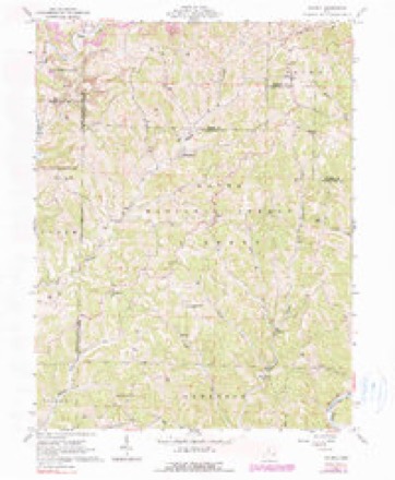
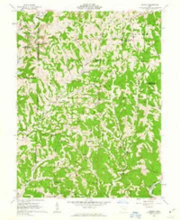
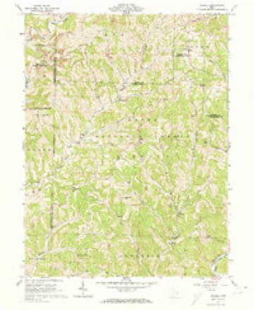
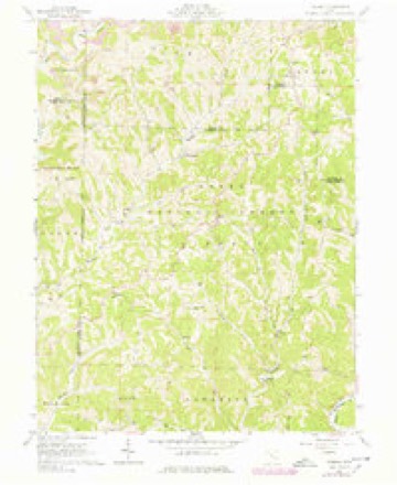
15 topographic sheets cover this place, the earliest surveyed in 1903 and the latest in 2002. It stands in Liberty Township. It lies in ZIP code area 45745. It stands on Coon Run. The Survey maps it on the Dalzell quadrangle.
Then and now
1903 to 2002The same ground, surveyed 99 years apart. Drag the handle to wipe between them. Both sheets are United States Geological Survey originals; neither has been altered.
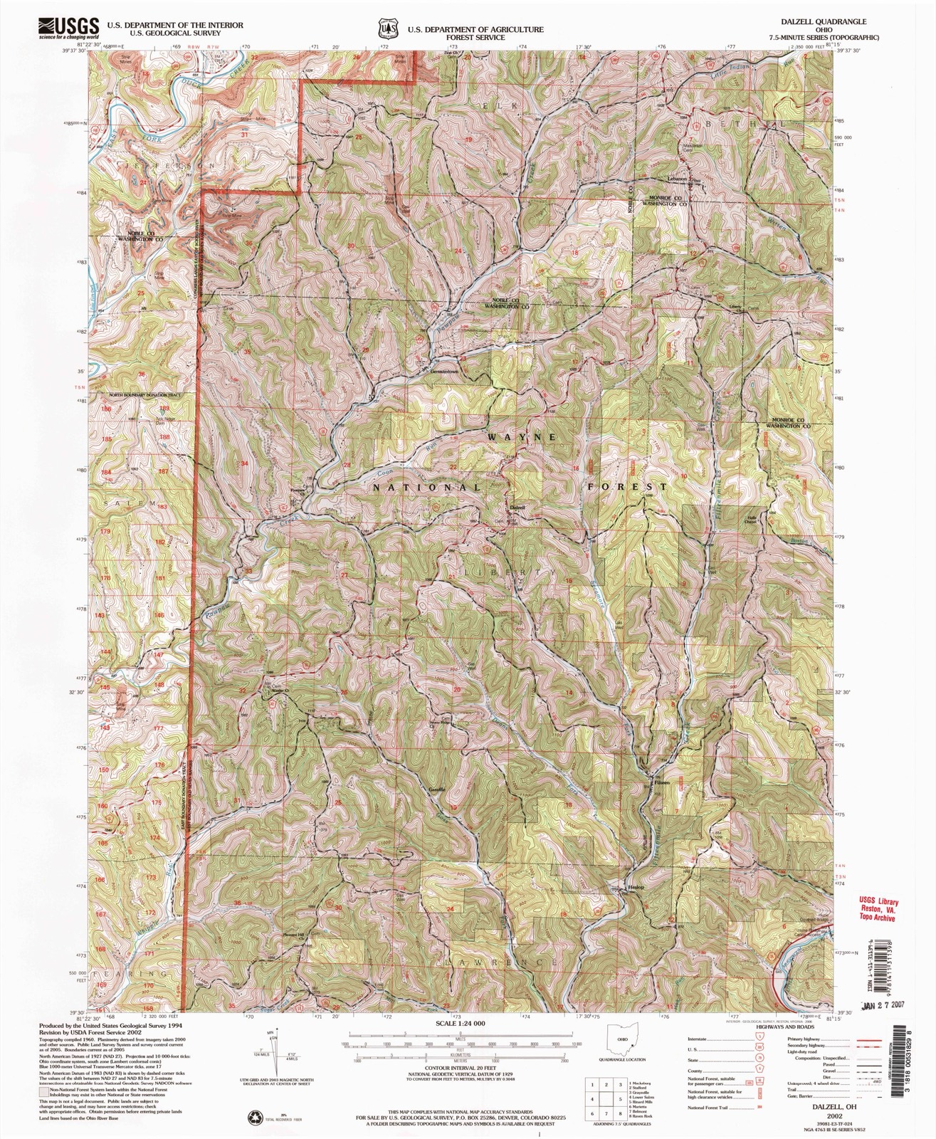
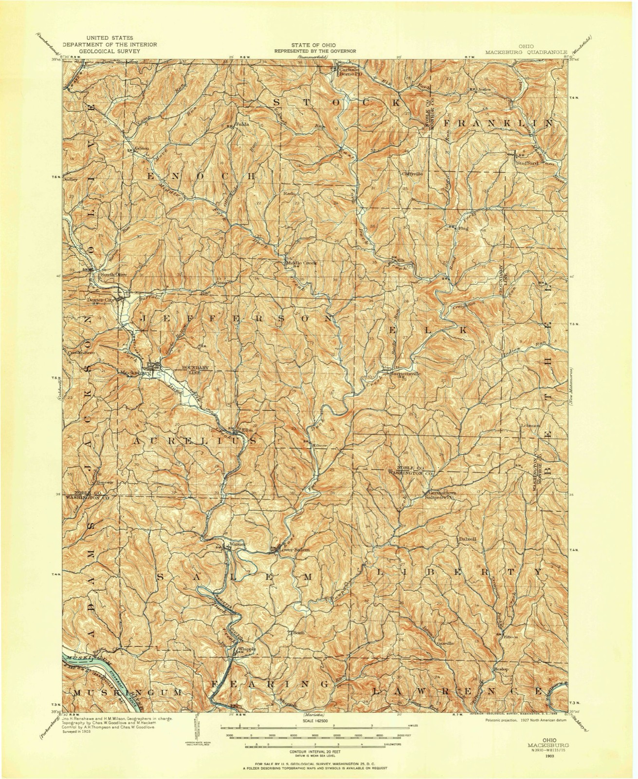
Compare 1903 against another survey:
Topographic sheets covering this place
15 sheetsMatched by testing this settlement's coordinate against the published boundary of every sheet in the United States Geological Survey's historical collection. Each opens the scanned sheet at the Survey.
- 1903 USGS Macksburg quadrangle1:62500
- 1905 USGS Macksburg quadrangle1:62500
- 1949 USGS Clarksburg quadrangle1:250000
- 1956 USGS Clarksburg quadrangle1:250000
- 1956 USGS Clarksburg quadrangle1:250000
- 1961 USGS Clarksburg quadrangle1:250000
- 1961 USGS Dalzell quadrangle1:24000
- 1961 USGS Dalzell quadrangle1:24000
- 1961 USGS Dalzell quadrangle1:24000
- 1961 USGS Dalzell quadrangle1:24000
- 1980 USGS Senecaville quadrangle1:100000
- 1980 USGS Senecaville Lake quadrangle1:100000
- 1988 USGS Clarksburg quadrangle1:250000
- 1994 USGS Dalzell quadrangle1:24000
- 2002 USGS Dalzell quadrangle1:24000





In the county-history sources
10,513 words on this townshipHistory of Washington County, Ohio, published 1881 names this settlement in its chapter on Liberty Township. These are the passages that mention it, exactly as the scans read.
Tuis is the name that the county fathers, in 1832, applied to that part of the county now bounded on the north, for four miles, by Noble county; for the remaining northern two miles of boundary, by Monroe county; on the east by Ludlow township, on the south by Lawrence township, and on the west by Salem township. The name, which probably originated in the tact of some one of the commissioners, is appropriately bestowed, for if it be true that mountainous countries have always been the fastnesses of freedom, it is in keeping with it that a hilly region should be the abode of liberty. These hills, in general, arrange themselves into one principal and many subsiding ridges. The main ridge extends from the north projection of the township (section twelve), in almost a straight southwestern course, leaving the western boundary a mile from the southern line. From this back-bone extend many ribs, a few reaching westward toward Pawpaw creek, but the most and the longest, stretching southward and southeastward, as arbitrators of the claims of the various tributaries of Fifteen Mile creek. The longest of these ridges extends directly south from the north end of the main ridge for the six miles that it is in the township. The eastern slope of this is drained by the smaller streams, such as the west branch of Winget's run, which reaches the Little Muskingum directly. Along the foot of the western slope, the East fork of Fifteen Mile creek flows. This is divided from the West fork of the same stream by another remarkably straight ridge, which extends south from the upper end of the main ridge, four miles. These forks, after flowing almost directly south, unite in the northern part of section seven, and leave the township two miles west of its southeast corner. The three main tributaries of this stream from the west are, beginning with the most northerly, which rises in the centre of the township, Sycamore, Goss fork, and Dean's fork. The eastern slope of this main ridge, belongs, of course, to the Little Muskingum basin. The western slope furnishes three main streams, flowing nearly west to Pawpaw. Beginning at the north, they are Saltpetre, Koon run, and Campbell run. The first owes its name to the fact that some time in the thirties, a Mr. Davis was wont to come from the north to a cave in its bank, a short distance from where Germantown now is, and containing crude nitre. He would use it in the manufacture of gun-powder, in which he was engaged. The derivation of Koon run is obvious. It is so called from the residents of that name who first settled, and whose descendants still exist, along its valley. Campbell run is so called from the pioneer, Patrick Campbell, who settled on the stream very early. At that time it was called Horse run.
Passage source: History of Washington County, Ohio, published 1881.
Pawpaw itself enters the township about two miles and a half east of the northwest township corner, and flows southwest to a point two miles directly north of the southwest corner. Its waters eventually 'find the Ohio by means of Duck creek. Along its banks the traces of the wonderful Mound Builders appeared in the shape of remains of ancient furnaces of stone with hearths of clay. These were probably used for smelting, for they contained, when found, cinder and pieces of stone coal. These furnaces evidently existed in great numbers along the creek.
Passage source: History of Washington County, Ohio, published 1881.
Shortly after the pioneer, Patrick Campbell, ventured into the wilderness as far as Horse run. About 1835 Richard Albery moved in on the head of Whipple run. But this settlement, thus begun in the southern part of the township, was of short life. It was destined that the northern part, that about the site of Germantown, was to be the scene of the final permanent settlement. The first one to make his home here was Matthew Gray, who came from the Harrietville settlement. As vsual with the first settlers, he made his way along the natural pathway, worn for him by the rapid flowing of a stream, In this case he came to the banks of Pawpaw, about half a mile above the mouth of Saltpetre. Those who shared his danger and his home with him were his wife, whose name before marriage. was Amy Enochs, and his children. There were nine of these in all, named William, David, Elijah, Jesse, George, James, Elizabeth, Rhoda, and one whose name has been forgotten.
Passage source: History of Washington County, Ohio, published 1881.
Machine-read from a century-old scan, so expect the errors a machine makes: misspelled names, dropped words, stray characters.
Read the whole chapter on Liberty Township - it names this place 8 more 8 times.
Fires near this place
10 since 2013Regional context, not property-specific evidence. The federal wildfire occurrence database lists 10 fires within 5 miles of Germantown between 2013 and 2020, burning about 88 acres in total. None started naturally. None was recorded as arson. Distance is straight-line from the map coordinates, so a fire counted here may appear on a neighbouring settlement's page as well.
| Reported cause | Fires |
|---|---|
| Missing data/not specified/undetermined | 6 |
| Debris and open burning | 4 |
The most recent of them, most recent first, with the day each was reported and the service that recorded it.
| Date | Cause | Size | Reported by | Name on the report |
|---|---|---|---|---|
| 27 April 2020 | Debris and open burning | 18 acres | Wayne National Forest | NOBLE COUNTY LINE |
| 22 April 2018 | Missing data/not specified/undetermined | 4.0 acres | Ohio Department of Natural Resources | 10687 |
| 20 April 2020 | Missing data/not specified/undetermined | 50 acres | Ohio Department of Natural Resources | 15706 |
| 15 April 2015 | Missing data/not specified/undetermined | under an acre | Ohio Department of Natural Resources | 890 |
| 31 March 2015 | Debris and open burning | under an acre | Ohio Department of Natural Resources | 642 |
| 10 March 2018 | Missing data/not specified/undetermined | 6.5 acres | Wayne National Forest | LONG RUN |
| 10 March 2013 | Debris and open burning | 2.0 acres | Ohio Department of Natural Resources | not named |
| 7 November 2020 | Debris and open burning | 3.0 acres | Ohio Department of Natural Resources | HARRIETSVILLE |
Settlements close enough to share some of these fires:
Specimens collected near this place
12 of 115 shownRegional context, not property-specific evidence. Museums hold 115 specimens collected within 10 miles of Germantown between 1853 and 1975: 108 Animalia, 6 Plantae, 1 Fungi. 12 distinct Species records are shown. Collected by A. D. Selby, Adler, K. K., Wood & Tilley, S. G., Albert Hazen Wright and others. Each is a physical object with a catalogue number, and each entry opens the museum's record. This is what was collected and kept, not a survey of what lives here - nothing can be concluded from a species being absent.
| Image | Species | Year | Collected by | Where, as recorded |
|---|---|---|---|---|
 | Anaxyrus americanus (Holbrook, 1836) | 1853 | not recorded | Marietta |
 | Anaxyrus fowleri (Hinckley, 1882) | 1853 | not recorded | Marietta |
 | Diadophis punctatus (Linnaeus, 1766) | 1853 | not recorded | Marietta |
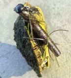 | Graptemys geographica (Lesueur, 1817) | 1853 | not recorded | Marietta |
| Liochlorophis vernalis (Harlan, 1827) | 1853 | not recorded | Marietta | |
 | Thamnophis Fitzinger, 1843 | 1853 | not recorded | Marietta |
 | Cryptobranchus alleganiensis (Sonnini de Manoncourt & Latreille, 1801) | 1883 | Albert Hazen Wright | Marietta |
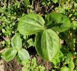 | Trillium sessile L. | 1884 | None | Macksburg |
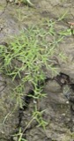 | Eragrostis hypnoides (Lam.) Britton, Sterns & Poggenb. | 1896 | A. D. Selby | Rainbow. |
 | Catostomus commersonnii commersonnii (Lacepède, 1803) | 1929 | MB Trautman & asst | E Fork of Duck Creek, trib of Duck Creek, wtihin 0.5 mi of mouth, Salem Twp |
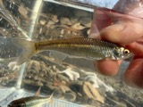 | Cyprinella whipplei Girard, 1856 | 1929 | Trautman, M. B. (Milton Bernard) & Walker, W. H. (W. Harrington) | Little Muskingum River, near Hune Covered Bridge, south of Wingett Run OH, NE Lawrence Township |
 | Etheostoma blennioides Rafinesque, 1819 | 1929 | Trautman, M. B. (Milton Bernard) & Walker, W. H. (W. Harrington) | Little Muskingum River, near Hune Covered Bridge, south of Wingett Run OH, NE Lawrence Township |
All 115 specimens within 10 miles, at the Global Biodiversity Information Facility.
Storms near this place
2 since 2020Regional context, not property-specific evidence. The National Weather Service names Germantown in 2 storm reports between 2020 and 2023: 1 hail, 1 flood. No death or injury is recorded in these reports. Each account below is quoted exactly as the forecast office filed it, from the NOAA Storm Events Database, and each date opens the federal record of that event.
| When | Event | Place named | Harm | What the report says |
|---|---|---|---|---|
| January 2023 | Flood | Germantown | $2,000 | Periods of heavy rain resulted in an inundation of water to residential homes in the county. One house in particular estimated that two feet of water was observed in their basement. |
| April 2020 | Hail | Germantown | - | no account filed |
Nearest settlements
The eight closest, with where each one stands in the county. Distances are straight-line, computed from the Geographic Names Information System coordinates.
| Map | Place | Distance | Sheets |
|---|---|---|---|
| Dalzell | 1.5 miles | 15 | |
| Gasville | 3.8 miles | 15 | |
| Carter (historical) | 4.3 miles | 16 | |
| Lower Salem | 4.5 miles | 13 | |
| Heslop | 5.0 miles | 15 | |
| Bonn | 5.1 miles | 13 | |
| Wingett Run | 5.1 miles | 16 | |
| Elba | 5.3 miles | 13 |
Elsewhere
Matched on this settlement's Geographic Names Information System number rather than its name, so it cannot be a different place of the same name in another state.
| Wikipedia article on Germantown | An encyclopaedic summary. Its text is share-alike, so it is linked here rather than copied. |
| Wikidata item Q5552027 | The structured record the population and elevation above come from. Public domain (CC0). |
Provenance
This settlement is recorded in the Geographic Names Information System as feature 1075909. The sheet list is computed by point-in-boundary test against the United States Geological Survey's historical topographic inventory. Both are works of the United States government and carry no copyright under 17 U.S.C. 105.
Wildfire. Short, Karen C. 2022. Spatial wildfire occurrence data for the United States, 1992-2020 [FPA_FOD_20221014]. 6th Edition. Fort Collins, CO: Forest Service Research Data Archive. https://doi.org/10.2737/RDS-2013-0009.6 Collected with United States Government funding and usable without additional permissions or fees.
Specimens. Global Biodiversity Information Facility (GBIF), https://www.gbif.org/. Only records licensed CC0 or CC BY are used. Records licensed CC BY-NC are excluded because this site carries advertising. Images are checked individually and any whose licence is non-commercial, no-derivatives or unreadable is refused.
Storms. NOAA National Centers for Environmental Information, Storm Events Database https://www.ncei.noaa.gov/stormevents/ A work of the United States government, no copyright under 17 U.S.C. 105. Narratives are quoted verbatim from the National Weather Service report and are not edited or summarised.