 Block
Block
Elba, Ohio
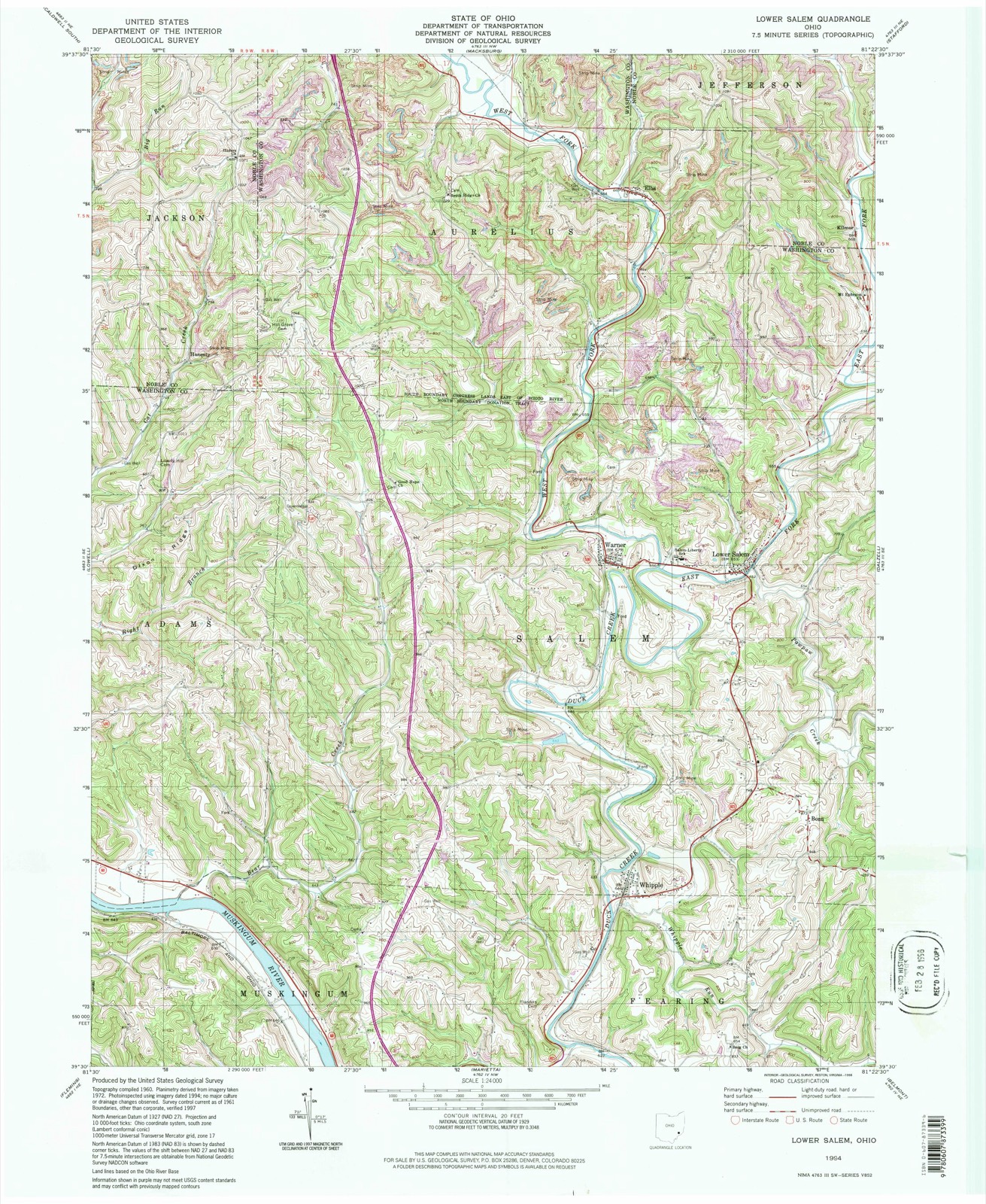
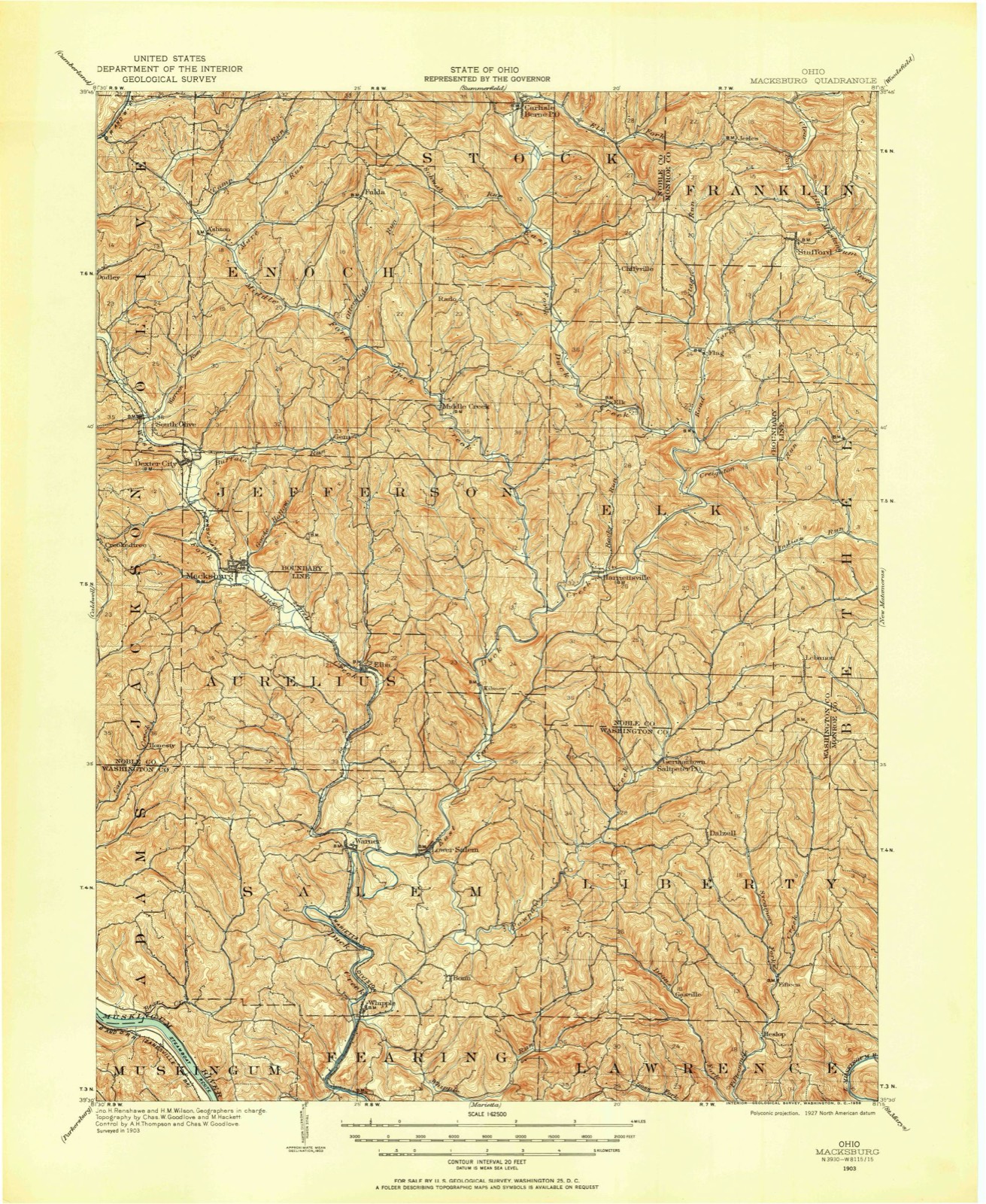
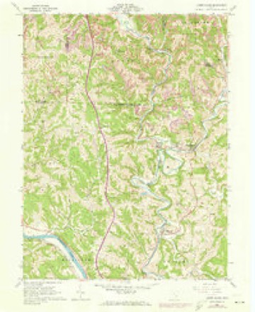
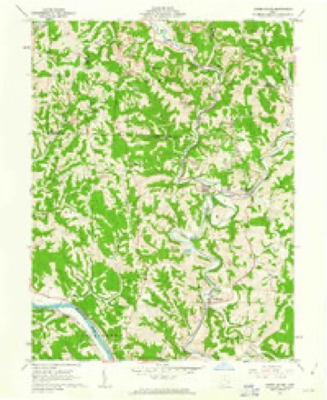
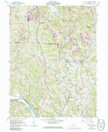
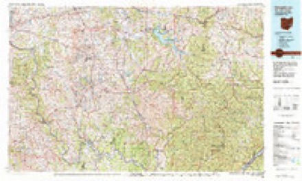
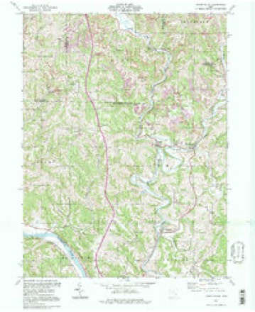
13 topographic sheets cover this place, the earliest surveyed in 1903 and the latest in 1994. It stands in Aurelius Township. It lies in ZIP code area 45746. The Survey maps it on the Lower Salem quadrangle.
Then and now
1903 to 1994The same ground, surveyed 91 years apart. Drag the handle to wipe between them. Both sheets are United States Geological Survey originals; neither has been altered.
Compare 1903 against another survey:
Topographic sheets covering this place
13 sheetsMatched by testing this settlement's coordinate against the published boundary of every sheet in the United States Geological Survey's historical collection. Each opens the scanned sheet at the Survey.
- 1903 USGS Macksburg quadrangle1:62500
- 1905 USGS Macksburg quadrangle1:62500
- 1949 USGS Clarksburg quadrangle1:250000
- 1956 USGS Clarksburg quadrangle1:250000
- 1956 USGS Clarksburg quadrangle1:250000
- 1961 USGS Clarksburg quadrangle1:250000
- 1961 USGS Lower Salem quadrangle1:24000
- 1961 USGS Lower Salem quadrangle1:24000
- 1961 USGS Lower Salem quadrangle1:24000
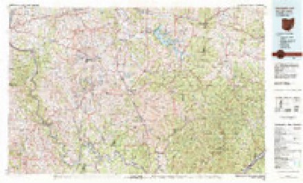
- 1980 USGS Senecaville quadrangle1:100000
- 1980 USGS Senecaville Lake quadrangle1:100000
- 1988 USGS Clarksburg quadrangle1:250000
- 1994 USGS Lower Salem quadrangle1:24000





In the county-history sources
8,464 words on this townshipHistory of Washington County, Ohio, published 1881 names this settlement in its chapter on Aurelius Township. These are the passages that mention it, exactly as the scans read.
While it has alwavs been considered an impossibility to have two hills without a valley between them, yet this township comes very near solving the problem. The hills here are rather high knobs with rounded tops, and separated by narrow ravines with almost precipitous sides. The west fork of Duck creek, the principal stream of the township affords comparatively little bottom land, the valley being, perhaps, not more than a half a mile broad in the widest part, which is about half way between Macksburgh and Elba. The east fork of Duck creek is entirely outside the township.
Passage source: History of Washington County, Ohio, published 1881.
The drainage of the township is, as implied by this description of the water-sheds, simple and complete. Duck creek is the main stream. It is supposed to derive its name from the numberless flocks of wild ducks that the pioneers of its valley noticed. It enters the township in the extreme northwest corner, flows southeast to Elba, there turns and flows southward, leaving Aurelius in the eastern part of section thirty-three. Though quite a small stream, it often gets high enough to be navigable by small boats as Elder Daniel Hilton and others proved long ago. Its descent is rapid enough for all purposes as a water power.
Passage source: History of Washington County, Ohio, published 1881.
At the villiage of Macksburgh is the mouth of Big run, often called Goose run since the oil discoveries, which flows south from Noble county. Elba is likewise possessed of a stream running through the place called Long run. The largest tributary does not all lie in the township. It is Buell's run and has three sources on the farms of Messrs. Ward and Pierce and the heirs of Mary Ward, in sections nineteen, twenty, and twenty
Passage source: History of Washington County, Ohio, published 1881.
Machine-read from a century-old scan, so expect the errors a machine makes: misspelled names, dropped words, stray characters.
Read the whole chapter on Aurelius Township - it names this place 9 more 9 times.
Fires near this place
5 since 2016Regional context, not property-specific evidence. The federal wildfire occurrence database lists 5 fires within 5 miles of Elba between 2016 and 2020, burning about 78 acres in total. None started naturally. None was recorded as arson. Distance is straight-line from the map coordinates, so a fire counted here may appear on a neighbouring settlement's page as well.
| Reported cause | Fires |
|---|---|
| Missing data/not specified/undetermined | 3 |
| Smoking | 1 |
| Debris and open burning | 1 |
The most recent of them, most recent first, with the day each was reported and the service that recorded it.
| Date | Cause | Size | Reported by | Name on the report |
|---|---|---|---|---|
| 27 April 2020 | Debris and open burning | 18 acres | Wayne National Forest | NOBLE COUNTY LINE |
| 22 April 2018 | Missing data/not specified/undetermined | 4.0 acres | Ohio Department of Natural Resources | 10687 |
| 20 April 2020 | Missing data/not specified/undetermined | 50 acres | Ohio Department of Natural Resources | 15706 |
| 18 March 2016 | Smoking | under an acre | Ohio Department of Natural Resources | 3810 |
| 10 March 2018 | Missing data/not specified/undetermined | 6.5 acres | Wayne National Forest | LONG RUN |
Settlements close enough to share some of these fires:
Specimens collected near this place
12 of 291 shownRegional context, not property-specific evidence. Museums hold 291 specimens collected within 10 miles of Elba between 1853 and 1973: 261 Animalia, 26 Plantae, 4 Fungi. 12 distinct Species records are shown. Collected by A. D. Selby, Albert Hazen Wright, B. P. Story and others. Each is a physical object with a catalogue number, and each entry opens the museum's record. This is what was collected and kept, not a survey of what lives here - nothing can be concluded from a species being absent.
| Image | Species | Year | Collected by | Where, as recorded |
|---|---|---|---|---|
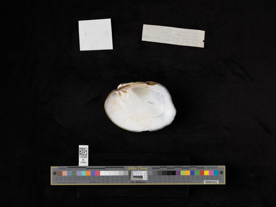 | Amblema plicata (Say, 1817) | 1965 | D. Stansbery & R. Johnson | Muskingham River, Lowell |
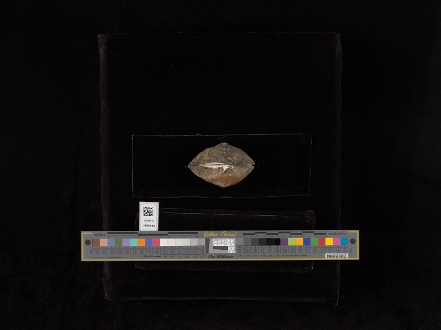 | Obliquaria reflexa Rafinesque, 1820 | 1965 | D. Stansbery & R. Johnson | Muskingum River |
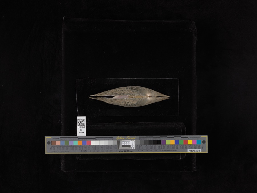 | Proptera alata (Say, 1817) | 1965 | D. Stansbery & R. Johnson | Muskingham River, Lowell |
 | Anaxyrus americanus (Holbrook, 1836) | 1853 | not recorded | Marietta |
 | Anaxyrus fowleri (Hinckley, 1882) | 1853 | not recorded | Marietta |
 | Diadophis punctatus (Linnaeus, 1766) | 1853 | not recorded | Marietta |
 | Graptemys geographica (Lesueur, 1817) | 1853 | not recorded | Marietta |
| Liochlorophis vernalis (Harlan, 1827) | 1853 | not recorded | Marietta | |
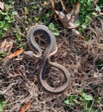 | Thamnophis Fitzinger, 1843 | 1853 | not recorded | Marietta |
 | Cryptobranchus alleganiensis (Sonnini de Manoncourt & Latreille, 1801) | 1883 | Albert Hazen Wright | Marietta |
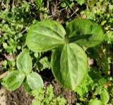 | Trillium sessile L. | 1884 | None | Macksburg |
 | Eragrostis hypnoides (Lam.) Britton, Sterns & Poggenb. | 1896 | A. D. Selby | Rainbow. |
All 291 specimens within 10 miles, at the Global Biodiversity Information Facility.
Storms near this place
5 since 2017Regional context, not property-specific evidence. The National Weather Service names Elba in 5 storm reports between 2017 and 2023: 4 flood, 1 thunderstorm wind. No death or injury is recorded in these reports. Each account below is quoted exactly as the forecast office filed it, from the NOAA Storm Events Database, and each date opens the federal record of that event.
| When | Event | Place named | Harm | What the report says |
|---|---|---|---|---|
| February 2020 | Flood | Elba | $2,000 | State Route 145 near the town of Lower Salem was closed due to high water. |
| January 2019 | Flood | Elba | $2,000 | Duck Creek and the Little Muskingum River flooded low areas along each waterway.||The gage on the West Fork of Duck Creek at Macksburg showed the creek rose out of its banks early on the 20th. It crested around 13.6 feet, or 0.6 feet above its bankfull level that afternoon, and returned to its banks that evening. This flooded low spots along the creek.||The gage on the Little Muskingum River near Bloomfield also showed water levels rising above bankfull early on the 20th. The river crested around 18.9 feet, almost 3 feet over its 16 foot bankfull level just before noon. The river returned to its banks that afternoon. This flooded a section of Route 26 near its intersection with Route 260. |
| August 2017 | Thunderstorm Wind | Elba | $2,000 | Multiple trees were blown down on Baker Ridge Road. |
| January 2023 | Flood | Elba | $1,500 | Several major roadways within the county were closed for an extended period of time due to high water. These included State Route 821, State Route 145, State Route 26, State Route 676, and State Route 60. |
| June 2017 | Flood | Elba | - | Following flash flooding during the early morning hours, flooding lingered along Duck Creek and the Little Muskingum River through much of the day. Duck Creek returned into its banks by late afternoon, while the Little Muskingum River remained in flood stage at Bloomfield until almost midnight. |
Nearest settlements
The eight closest, with where each one stands in the county. Distances are straight-line, computed from the Geographic Names Information System coordinates.
| Map | Place | Distance | Sheets |
|---|---|---|---|
| Macksburg | 2.8 miles | 13 | |
| Warner | 3.1 miles | 13 | |
| Lower Salem | 3.4 miles | 13 | |
| Germantown | 5.3 miles | 15 | |
| Bonn | 5.5 miles | 13 | |
| Whipple | 5.9 miles | 13 | |
| Dalzell | 6.5 miles | 15 | |
| Buells (historical) | 7.0 miles | 13 |
Elsewhere
Matched on this settlement's Geographic Names Information System number rather than its name, so it cannot be a different place of the same name in another state.
| Wikipedia article on Elba | An encyclopaedic summary. Its text is share-alike, so it is linked here rather than copied. |
| Wikidata item Q22133352 | The structured record the population and elevation above come from. Public domain (CC0). |
Provenance
This settlement is recorded in the Geographic Names Information System as feature 1062750. The sheet list is computed by point-in-boundary test against the United States Geological Survey's historical topographic inventory. Both are works of the United States government and carry no copyright under 17 U.S.C. 105.
Wildfire. Short, Karen C. 2022. Spatial wildfire occurrence data for the United States, 1992-2020 [FPA_FOD_20221014]. 6th Edition. Fort Collins, CO: Forest Service Research Data Archive. https://doi.org/10.2737/RDS-2013-0009.6 Collected with United States Government funding and usable without additional permissions or fees.
Specimens. Global Biodiversity Information Facility (GBIF), https://www.gbif.org/. Only records licensed CC0 or CC BY are used. Records licensed CC BY-NC are excluded because this site carries advertising. Images are checked individually and any whose licence is non-commercial, no-derivatives or unreadable is refused.
Storms. NOAA National Centers for Environmental Information, Storm Events Database https://www.ncei.noaa.gov/stormevents/ A work of the United States government, no copyright under 17 U.S.C. 105. Narratives are quoted verbatim from the National Weather Service report and are not edited or summarised.