 Block
Block
Gettysburg, Ohio
13 topographic sheets cover this place, the earliest surveyed in 1911 and the latest in 1986. It stands in Adams Township. It lies in ZIP code area 45328. The Survey maps it on the Gettysburg quadrangle. 463 people lived here at the 2020 count. It stands 991 feet above sea level.
Population over time
2 figuresGettysburg fell from 513 to 463 between 2010 and 2020. These are the recorded population figures Wikidata holds for this place, reached through the Geographic Names Information System number this page is keyed on rather than by name, so they belong to this place and not to another of the same name. Most are census counts, but not all are: an early figure may be a founding or settlement estimate. The change column is computed, and is left blank where more than 20 years separate a figure from the one before it, because a gap that long is not a change between two counts.
| Year | People | Change |
|---|---|---|
| 2010 | 513 | |
| 2020 | 463 | -50 (-10%) |
Then and now
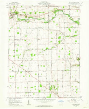
1911 to 1986The same ground, surveyed 75 years apart. Drag the handle to wipe between them. Both sheets are United States Geological Survey originals; neither has been altered.

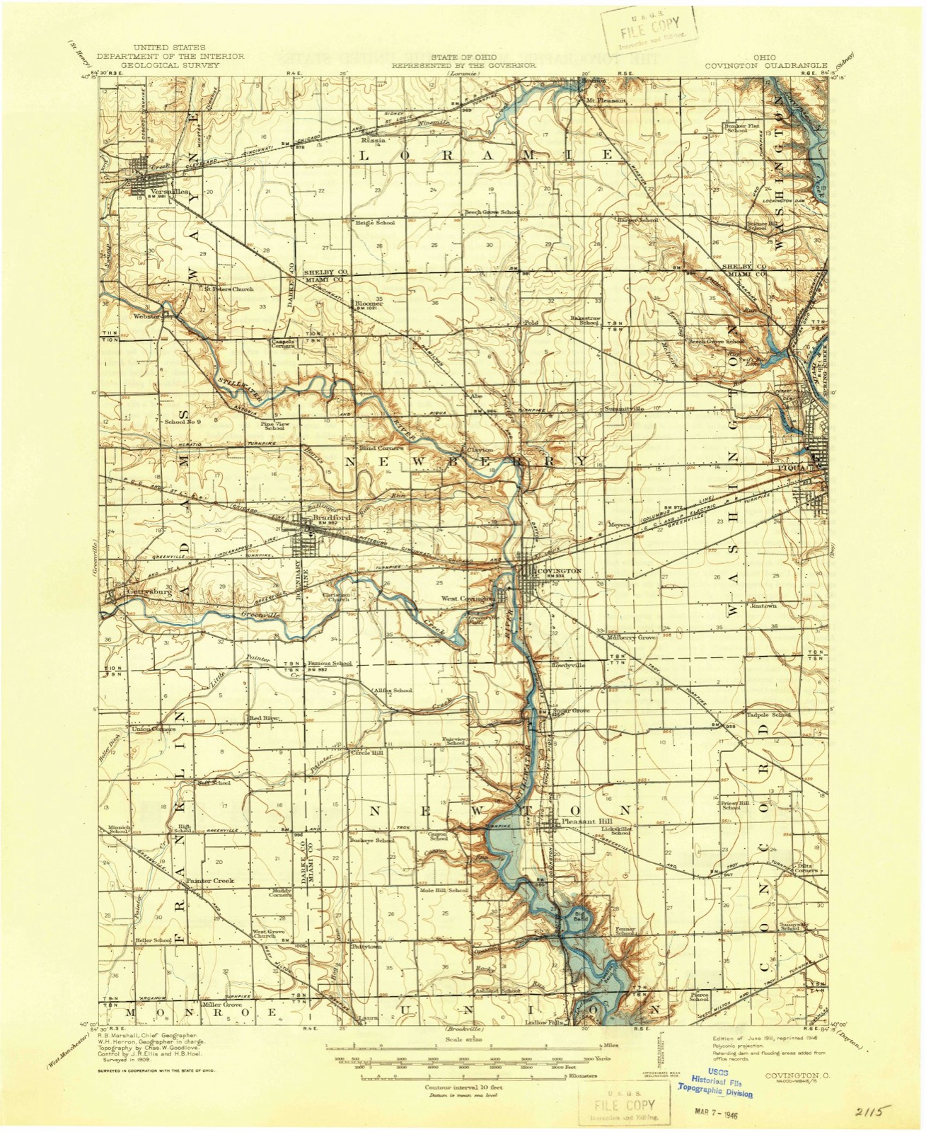
Compare 1911 against another survey:
Topographic sheets covering this place
13 sheetsMatched by testing this settlement's coordinate against the published boundary of every sheet in the United States Geological Survey's historical collection. Each opens the scanned sheet at the Survey.
- 1911 USGS Covington quadrangle1:62500
- 1944 USGS Covington quadrangle1:62500
- 1953 USGS Muncie quadrangle1:250000
- 1953 USGS Muncie quadrangle1:250000
- 1953 USGS Muncie quadrangle1:250000
- 1953 USGS Muncie quadrangle1:250000
- 1953 USGS Muncie quadrangle1:250000
- 1956 USGS Muncie quadrangle1:250000
- 1961 USGS Gettysburg quadrangle1:24000
- 1961 USGS Gettysburg quadrangle1:24000
- 1986 USGS Piqua quadrangle1:100000
- 1986 USGS Piqua quadrangle1:100000
- 1986 USGS Piqua quadrangle1:100000









In the county-history sources
63,514 words on this townshipThe History of Darke County, Ohio, Containing a History of the County; Its Cities, Towns, Etc.; General and Local Statistics; Portraits of Early Settlers and Prominent Men;, published 1880 names this settlement in its chapter on Adams Township. These are the passages that mention it, exactly as the scans read.
The second permanent settlement in Darke County was made in Adams Township. In 1808, Abraham Studabaker, with his wife, settled on the bank of Greenville Creek, opposite the present site of Gettysburg, on Section 25, on land now owned by A. Stoltz. From what the writer can gather. Mr. Studabaker was the first white man that became a permanent settler of Adams Township, as we have no account of any before him. and none other till the close of the Indian war of 1812. Very soon after the cessation of hostilities, Maj. George Adams, who had served in the armies of Harmar and WTayne, came to the township, and, studying the needs of the pioneers and his own interest as well, erected a flouringmill on Section 33. where now stands the mill of Stoltz & Coppess. This was the pioneer mill of the count}*, and became known far and wide ; and there are many of the pioneers now living who have a pleasing recollection of the gallant Major and his old-time mill. Their estimation was shown by the perpetuation of his memory in the name of the township in which he made his home.
Passage source: The History of Darke County, Ohio, Containing a History of the County; Its Cities, Towns, Etc.; General and Local Statistics; Portraits of Early Settlers and Prominent Men;, published 1880.
Early in the year 1812, Wilkinson, who was in command of the troops in this department, sent six soldiers to Studabaker's post, where they were stationed for some time, and it seems that they were under the immediate command of Mr. Studabaker. At this time, the block-house served as an inn, post of refuge, and official quarters, as well as the home of the family. On one occasion, five Indians were captured in their war paint, which Studabaker turned over to the officer in command, at Greenville. They subsequently escaped, and took their revenge by killing and scalping two soldiers near Fort Jefferson, named Stoner and Elliott. The war closing, Studabaker took a contract from the Government to feed the Indians until the consummation of the treaty. Upon the organization of Darke as a county in 1817, Mr. Studabaker was elected Commissioner four successive terms. Isaac Hollingsworth and Thomas Warren, were of the early settlers. John Reck settled in 1827. on land that is still owned by his son. It is located on both sides of the creek, on Section 36. Mr. Reck states that the wolves were very troublesome to the settlers. When a boy, he was followed many a time b}* a number of those animals, from near the little cemetery just west of Gettysburg, to near the door of his father's house. There is no account of injury done to persons, although stock not infrequently suffered. John and William Reck, Henry Weaver and Armstrong Campbell, built the first schoolhouse in the township. The house was erected in 1830. and stood upon the present site of the cemetery- near Gettysburg. The carpenter work was done by Michael Reck, then seventeen }'ears old.
Passage source: The History of Darke County, Ohio, Containing a History of the County; Its Cities, Towns, Etc.; General and Local Statistics; Portraits of Early Settlers and Prominent Men;, published 1880.
Samuel Horner was the first teacher. A subscription school, taught by Jacob Hersher, is said to have been the first in Adams Township. The first church was erected by the Lutherans, on land now owned by Francis Keefauner, in or about 1834. It is still standing. Besides this, there is Catholic Church at Bradford ; a Presbyterian, a Methodist and a Lutheran, at Gettysburg ; and a Dunkard. elsewhere in the township. New Harrison was laid out in 1837. by Samuel Robinson, who was the first Justice of the Peace in the township.
Passage source: The History of Darke County, Ohio, Containing a History of the County; Its Cities, Towns, Etc.; General and Local Statistics; Portraits of Early Settlers and Prominent Men;, published 1880.
Machine-read from a century-old scan, so expect the errors a machine makes: misspelled names, dropped words, stray characters.
Read the whole chapter on Adams Township - it names this place 39 more 39 times.
Specimens collected near this place
12 of 409 shownRegional context, not property-specific evidence. Museums hold 409 specimens collected within 10 miles of Gettysburg between 1838 and 1975: 382 Animalia, 20 Fungi, 7 Plantae. 12 distinct Species records are shown. Collected by A VERWYST, A. F. C.; Stover, W. G., Albrecht, C. and others. Each is a physical object with a catalogue number, and each entry opens the museum's record. This is what was collected and kept, not a survey of what lives here - nothing can be concluded from a species being absent.
| Image | Species | Year | Collected by | Where, as recorded |
|---|---|---|---|---|
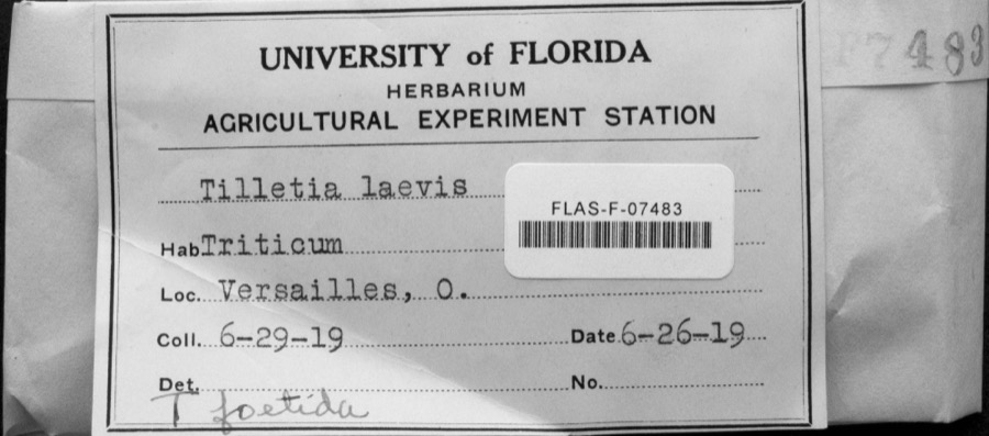 | Tilletia laevis J.G.Kühn | 1919 | not recorded | Versailles |
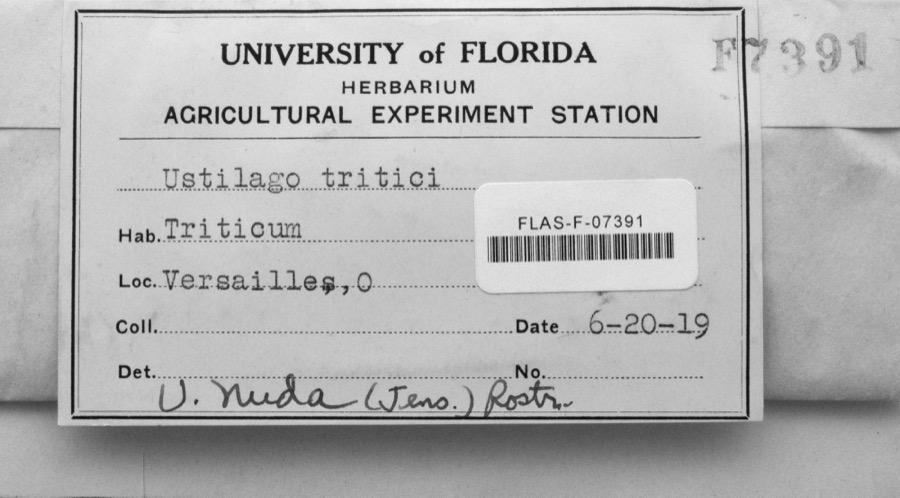 | Ustilago nuda (C.N.Jensen) Kellerm. & Swingle | 1919 | s.n. | Versailles |
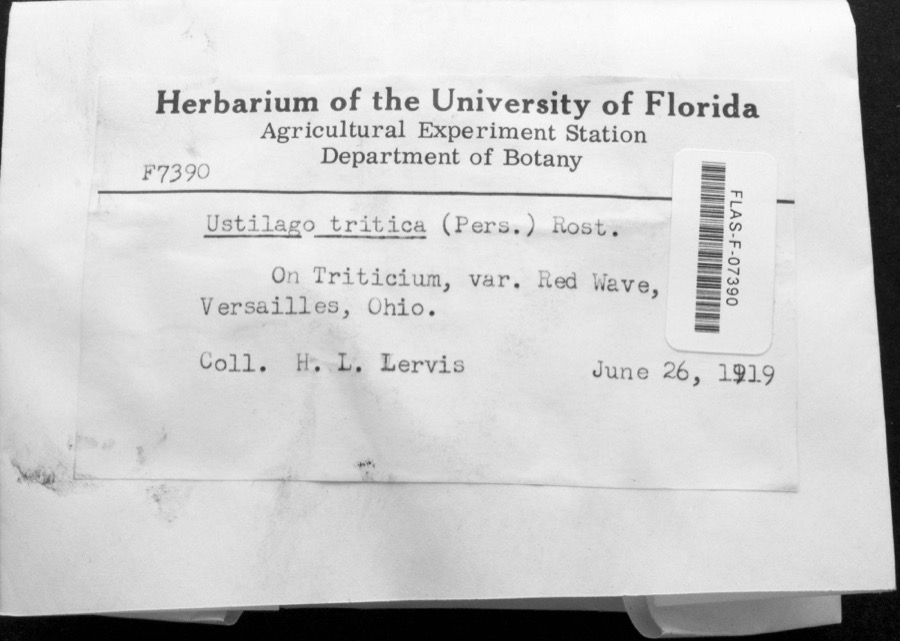 | Ustilago tritici (Bjerk.) Rostr. | 1919 | H.L. Lewis | Versailles |
 | Callitriche palustris L. | 1838 | Short, C.W. | Lexington, Kentucky. |
 | Dispira americana Thaxt. | 1895 | Rush W. H. | Greenville |
 | Clitocybe multiceps Peck | 1906 | H.J. Brememan | Greenville |
 | Peziza vesiculosa Bull. | 1907 | Lucas, C | Greenville |
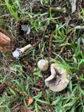 | Amanita phalloides (Vaill. ex Fr.) Secr. | 1909 | A. F. C.; Stover, W. G. | Greenville |
 | Clitocybe odora (Bull.) P.Kumm. | 1909 | Stover, W. G. | Greenville |
 | Panaeolus solidipes (Peck) Sacc. | 1909 | Stover, W. G. | Greenville |
 | Fomes lobatus Cooke | 1911 | Overholts L. O. | Gettysburg |
 | Macrolepiota procera (Scop.) Singer | 1911 | Overholts | Gettysburg |
All 409 specimens within 10 miles, at the Global Biodiversity Information Facility.
Mines and quarries near this place
3 within 5 milesRegional context, not property-specific evidence. The federal mineral resources record lists 3 workings within 5 miles of Gettysburg: 2 producers, 1 past producer. 2 still produce. What was taken out: Sand and Gravel, Construction, Stone, Crushed/Broken, Sand and Gravel, Construction. Distance is straight-line from the map coordinates, so a quarry counted here may appear on a neighbouring settlement's page as well.
| Where | Site | Commodity | Status | Recorded |
|---|---|---|---|---|
| Poeppelman Quarry | Stone, Crushed/Broken, Sand and Gravel, Construction | Producer | ||
| Feitshans Pit | Sand and Gravel, Construction | Past Producer | Sedimentary | |
| Feitshans Pit | Sand and Gravel, Construction | Producer |
Storms near this place
14 since 1998Regional context, not property-specific evidence. The National Weather Service names Gettysburg in 14 storm reports between 1998 and 2022: 6 thunderstorm wind, 3 hail, 3 flash flood, 1 tornado. No death or injury is recorded in these reports. Each account below is quoted exactly as the forecast office filed it, from the NOAA Storm Events Database, and each date opens the federal record of that event.
| When | Event | Place named | Harm | What the report says |
|---|---|---|---|---|
| December 2013 | Flash Flood | Gettysburg | $40,000 | Water was reported rushing over roads and entering homes. Several homes were getting sand bagged. |
| May 1998 | Thunderstorm Wind | Gettysburg | $25,000 | High winds knocked trees and power lines down. Also, roofs were blown off mobile homes and barns. |
| July 2009 | Flash Flood | Gettysburg | $10,000 | A person was stranded in a vehicle in high water and there were multiple reports of street flooding due to heavy rainfall. |
| June 2009 | Thunderstorm Wind | Gettysburg | $6,000 | A chimney was knocked down along with several trees and power lines. |
| July 2008 | Thunderstorm Wind | Gettysburg | $3,000 | Trees were downed. |
| May 2006 | Thunderstorm Wind | Gettysburg | $3,000 | Several trees and large limbs were downed. |
| August 2002 | Hail | Gettysburg | $3,000 | Golf ball size hail fell across town. Trees were also downed in several parts of town. |
| June 2015 | Thunderstorm Wind | Gettysburg | $250 | One large limb knocked down. |
| July 2022 | Thunderstorm Wind | Gettysburg | $100 | A large branch and several smaller branches were downed. |
| June 2019 | Flood | Gettysburg | - | High water was reported along U.S. 36 near Gettysburg. |
| May 2011 | Tornado (EF0) | Gettysburg | - | A tornado briefly touched down. No damage was reported. |
| June 2004 | Flash Flood | Gettysburg | - | Roads were flooded and closed. |
| April 2020 | Hail | Gettysburg | - | no account filed |
| May 2011 | Hail | Gettysburg | - | no account filed |
Nearest settlements
The eight closest, with where each one stands in the county. Distances are straight-line, computed from the Geographic Names Information System coordinates.
| Map | Place | Distance | Sheets |
|---|---|---|---|
| New Harrison | 1.2 miles | 12 | |
| Union Corners | 2.2 miles | 13 | |
| Bears Mill | 2.4 miles | 12 | |
| Horatio | 3.1 miles | 12 | |
| Red River | 3.3 miles | 13 | |
| Poplar Ridge | 3.6 miles | 12 | |
| Landis | 4.0 miles | 12 | |
| Stelvideo | 4.1 miles | 12 |
Elsewhere
Matched on this settlement's Geographic Names Information System number rather than its name, so it cannot be a different place of the same name in another state.
| Wikipedia article on Gettysburg | An encyclopaedic summary. Its text is share-alike, so it is linked here rather than copied. |
| Wikidata item Q2668747 | The structured record the population and elevation above come from. Public domain (CC0). |
Provenance
This settlement is recorded in the Geographic Names Information System as feature 1048778. The sheet list is computed by point-in-boundary test against the United States Geological Survey's historical topographic inventory. Both are works of the United States government and carry no copyright under 17 U.S.C. 105.
Specimens. Global Biodiversity Information Facility (GBIF), https://www.gbif.org/. Only records licensed CC0 or CC BY are used. Records licensed CC BY-NC are excluded because this site carries advertising. Images are checked individually and any whose licence is non-commercial, no-derivatives or unreadable is refused.
Mines and quarries. USGS Mineral Resources Data System (MRDS) https://mrdata.usgs.gov/mrds/ A work of the United States government, no copyright under 17 U.S.C. 105.
Storms. NOAA National Centers for Environmental Information, Storm Events Database https://www.ncei.noaa.gov/stormevents/ A work of the United States government, no copyright under 17 U.S.C. 105. Narratives are quoted verbatim from the National Weather Service report and are not edited or summarised.