 Block
Block
Red River, Ohio
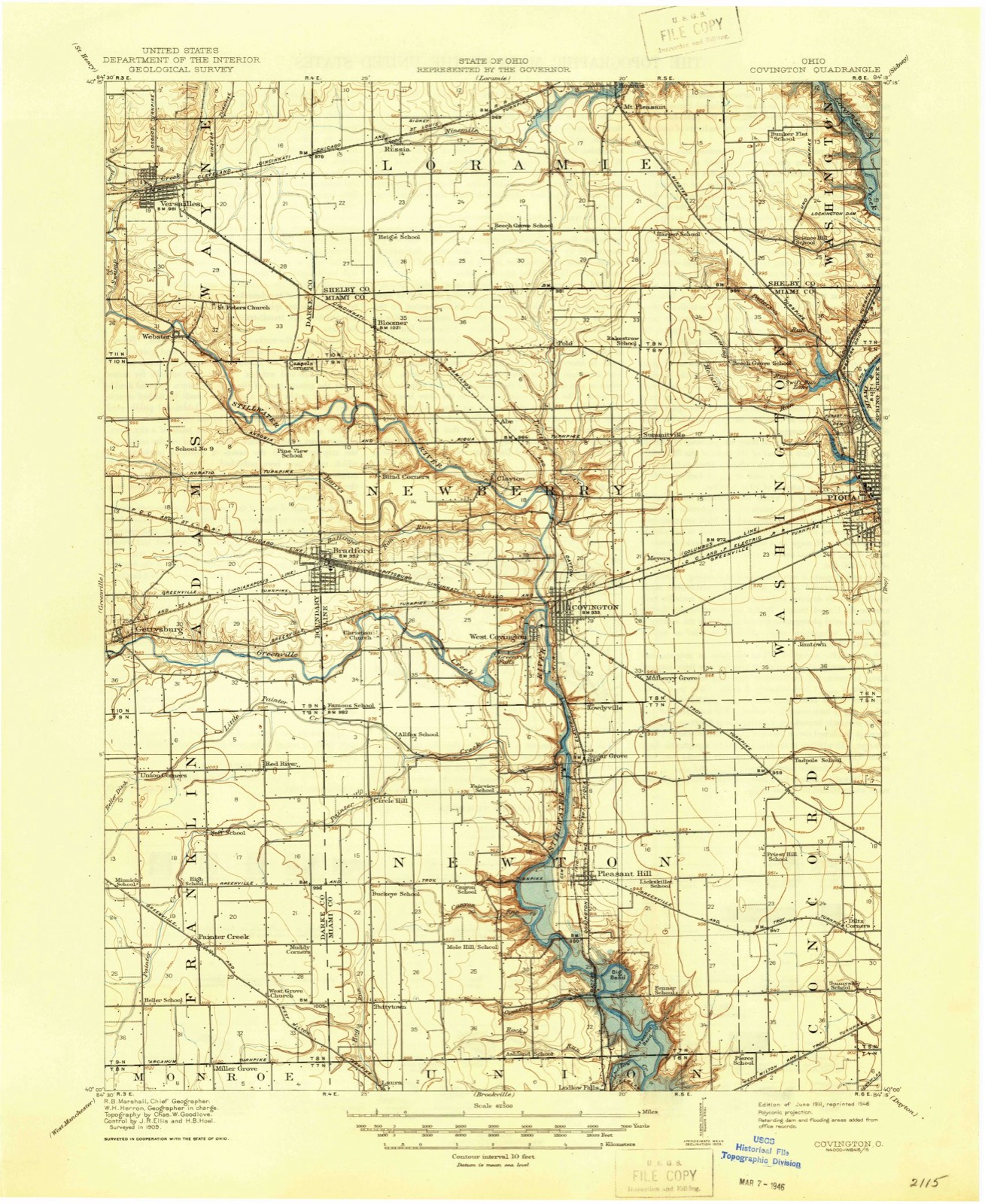
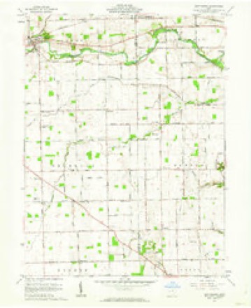
13 topographic sheets cover this place, the earliest surveyed in 1911 and the latest in 1986. It stands in Franklin Township. It lies in ZIP code area 45308. The Survey maps it on the Gettysburg quadrangle.
Then and now
1911 to 1986The same ground, surveyed 75 years apart. Drag the handle to wipe between them. Both sheets are United States Geological Survey originals; neither has been altered.

Compare 1911 against another survey:
Topographic sheets covering this place
13 sheetsMatched by testing this settlement's coordinate against the published boundary of every sheet in the United States Geological Survey's historical collection. Each opens the scanned sheet at the Survey.
- 1911 USGS Covington quadrangle1:62500
- 1944 USGS Covington quadrangle1:62500
- 1953 USGS Muncie quadrangle1:250000
- 1953 USGS Muncie quadrangle1:250000
- 1953 USGS Muncie quadrangle1:250000
- 1953 USGS Muncie quadrangle1:250000
- 1953 USGS Muncie quadrangle1:250000
- 1956 USGS Muncie quadrangle1:250000
- 1961 USGS Gettysburg quadrangle1:24000
- 1961 USGS Gettysburg quadrangle1:24000
- 1986 USGS Piqua quadrangle1:100000
- 1986 USGS Piqua quadrangle1:100000
- 1986 USGS Piqua quadrangle1:100000









In the county-history sources
9,314 words on this townshipThe History of Darke County, Ohio, Containing a History of the County; Its Cities, Towns, Etc.; General and Local Statistics; Portraits of Early Settlers and Prominent Men;, published 1880 names this settlement in its chapter on Franklin Township. These are the passages that mention it, exactly as the scans read.
M ARTINDWYRE, farmer ; P.O. Red River. The gentleman whose name heads this sketch was born in County Limerick, Ireland, in February, 1822, and is a son of 'Thomas and Elizabeth Dwyre, natives of Ireland ; his father was a farmer by occupation and died when our subject was but 6 months old ; at the age of 18, he began life for himself, and engaged in farming ; he has many vivid recollections of the great famine in Ireland, in 1845-46, and says the County Limerick was better supplied than many other counties, and the miseries and horrors of starvation did not bear so heavily upon them ; among the counties that suffered the extreme pangs of hanger and want, M. Dwyre mentions those of Donegan, Leitrim, Westmeath, Tyrone, Queens, Kings, Cork and Galway ; he says the suffering in some of these counties was severe, and many people suffered the excrucating tortures of hunger, and the intensity of the famine swept the whole land. Our subject was united in marriage with Mary A., daughter of Nicholas Hartley, March 17, 1847 ; they were the parents of eleven children, of whom four are supposed to be living - two in Ireland, if living, and a sister of Mrs. Dwyre, living in this country. Our subject left Ireland for America May 8, 1847, and landed in Quebec, his voyage occupying five weeks and three days ; from Quebec he visited Montreal, St. John's, Whitehall, West Troy, thence to New York, where he remained one week, from there to Honsdale, from there to Lewisborough, N. Y., where he worked on the Erie R. R. for about three months, from there to Binghamton,where he took passage on the Erie Canal and went to Buffalo, where he remained five months ; thence by steamboat he came to Sandusky, Ohio, from which point he came by rail to Springfield, Ohio ; here he labored one year on the Mad River R. R., the second road that entered Springfield ; from there to Mechanicsburg, where he labored two months on a turnpike ; thence to Bellefontaine for a short time ; thence to Quincy, where he labored on the Little Miami R. R, for a full year ; thence to Brinton and worked on the road for five or six months ; from there to Westville, where he labored on the railroad for nearly one year ; thence to West Milton, where he labored on a road but it was never finished ; he also labored on the D. & U. R. R., then back to the Stillwater, where he laid down the shovel and bid farewell to railroading, and we believe Mr. Dwyre has helped build more miles of railroad than any other man in Darke Co., .and, although his labors in this direction have occupied several years, and constantly underwent the exposure and the hardships incident to such work, he is yet hale and hearty, and none enjoy a joke or can tell a better story than Uncle Martin ; after he abandoned the railroad, he settled in West Milton, where he followed farming, ditching, stone quarrying, chopping, and in fact did anything for several years that would bring an honest dollar to his coffer ; in 1860, he removed to Darke Co. and leased 20 acres of Darke Co.'s woods, which he had the use of for eight years for the clearing, which he accomplished the third season, and without any assistance ; in 1868, he removed to the north part of the township, and rented a farm for cash rent, but only remained one year, when he pulled up stakes and returned to Miami Co., where he carried on a farm for two years ; then back to Darke Co. again and purchased 63 acres of land, where he now resides, for which he paid $45 per acre, and soon after sold part back for $55 per acre ; the balance is all in a good state of cultivation ; they are the parents of eight children. six of whom are living, viz., Thomas, Michael, Daniel, Francis, Elizabeth and Kate ; the deceased are Nicholas and William.
Passage source: The History of Darke County, Ohio, Containing a History of the County; Its Cities, Towns, Etc.; General and Local Statistics; Portraits of Early Settlers and Prominent Men;, published 1880.
Machine-read from a century-old scan, so expect the errors a machine makes: misspelled names, dropped words, stray characters.
Read the whole chapter on Franklin Township - it names this place 3 more 3 times.
Specimens collected near this place
12 of 193 shownRegional context, not property-specific evidence. Museums hold 193 specimens collected within 10 miles of Red River between 1838 and 1975: 172 Animalia, 14 Fungi, 7 Plantae. 12 distinct Species records are shown. Collected by A. F. C.; Stover, W. G., Albrecht, C., Albrecht, C., Valentine, B. (Barry) & Valentine, B. (Buena) and others. Each is a physical object with a catalogue number, and each entry opens the museum's record. This is what was collected and kept, not a survey of what lives here - nothing can be concluded from a species being absent.
| Image | Species | Year | Collected by | Where, as recorded |
|---|---|---|---|---|
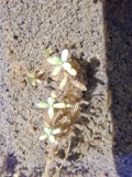 | Callitriche palustris L. | 1838 | Short, C.W. | Lexington, Kentucky. |
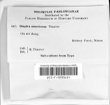 | Dispira americana Thaxt. | 1895 | Rush W. H. | Greenville |
 | Clitocybe multiceps Peck | 1906 | H.J. Brememan | Greenville |
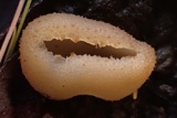 | Peziza vesiculosa Bull. | 1907 | Lucas, C | Greenville |
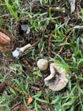 | Amanita phalloides (Vaill. ex Fr.) Secr. | 1909 | A. F. C.; Stover, W. G. | Greenville |
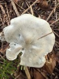 | Clitocybe odora (Bull.) P.Kumm. | 1909 | Stover, W. G. | Greenville |
 | Panaeolus solidipes (Peck) Sacc. | 1909 | Stover, W. G. | Greenville |
 | Fomes lobatus Cooke | 1911 | Overholts L. O. | Gettysburg |
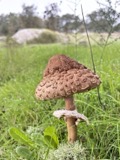 | Macrolepiota procera (Scop.) Singer | 1911 | Overholts | Gettysburg |
 | Polyporus zonalis Berk. | 1911 | Overholts L. O. | Gettysburg |
 | Poria undata (Pers.) Quél. | 1911 | Overholts L. O. | Gettysburg |
| Passer domesticus (Linnaeus, 1758) | 1915 | Householder, V. | N/A |
All 193 specimens within 10 miles, at the Global Biodiversity Information Facility.
Mines and quarries near this place
1 within 5 milesRegional context, not property-specific evidence. The federal mineral resources record lists 1 working within 5 miles of Red River: 1 producer. All of them still produce. What was taken out: Stone, Crushed/Broken, Sand and Gravel, Construction. Distance is straight-line from the map coordinates, so a quarry counted here may appear on a neighbouring settlement's page as well.
| Where | Site | Commodity | Status | Recorded |
|---|---|---|---|---|
| Poeppelman Quarry | Stone, Crushed/Broken, Sand and Gravel, Construction | Producer |
Nearest settlements
The eight closest, with where each one stands in the county. Distances are straight-line, computed from the Geographic Names Information System coordinates.
| Map | Place | Distance | Sheets |
|---|---|---|---|
| Union Corners | 2.2 miles | 13 | |
| Painter Creek | 3.3 miles | 13 | |
| Gettysburg | 3.3 miles | 13 | |
| Landis | 3.4 miles | 12 | |
| New Harrison | 4.3 miles | 12 | |
| Miller Grove | 5.1 miles | 13 | |
| Poplar Ridge | 5.1 miles | 12 | |
| Bears Mill | 5.3 miles | 12 |
Provenance
This settlement is recorded in the Geographic Names Information System as feature 1044900. The sheet list is computed by point-in-boundary test against the United States Geological Survey's historical topographic inventory. Both are works of the United States government and carry no copyright under 17 U.S.C. 105.
Specimens. Global Biodiversity Information Facility (GBIF), https://www.gbif.org/. Only records licensed CC0 or CC BY are used. Records licensed CC BY-NC are excluded because this site carries advertising. Images are checked individually and any whose licence is non-commercial, no-derivatives or unreadable is refused.
Mines and quarries. USGS Mineral Resources Data System (MRDS) https://mrdata.usgs.gov/mrds/ A work of the United States government, no copyright under 17 U.S.C. 105.