 Block
Block
Gibsonburg, Ohio
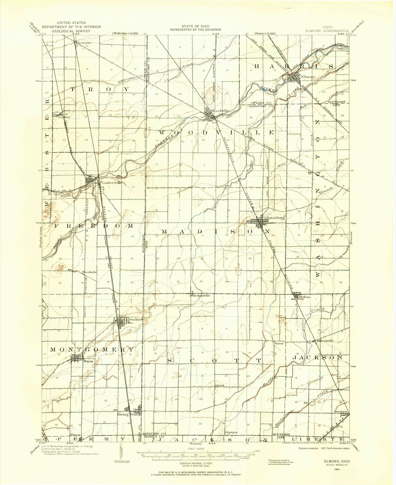
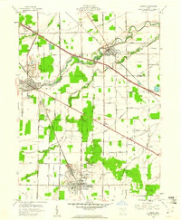
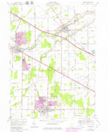
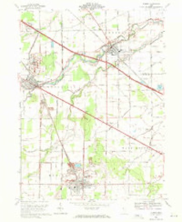
12 topographic sheets cover this place, the earliest surveyed in 1901 and the latest in 1986. It stands in Madison Township. It lies in ZIP code area 43431. The Survey maps it on the Elmore quadrangle. 2,452 people lived here at the 2020 count. It stands 686 feet above sea level.
Population over time
2 figuresGibsonburg fell from 2,581 to 2,452 between 2010 and 2020. These are the recorded population figures Wikidata holds for this place, reached through the Geographic Names Information System number this page is keyed on rather than by name, so they belong to this place and not to another of the same name. Most are census counts, but not all are: an early figure may be a founding or settlement estimate. The change column is computed, and is left blank where more than 20 years separate a figure from the one before it, because a gap that long is not a change between two counts.
| Year | People | Change |
|---|---|---|
| 2010 | 2,581 | |
| 2020 | 2,452 | -129 (-5%) |
Then and now
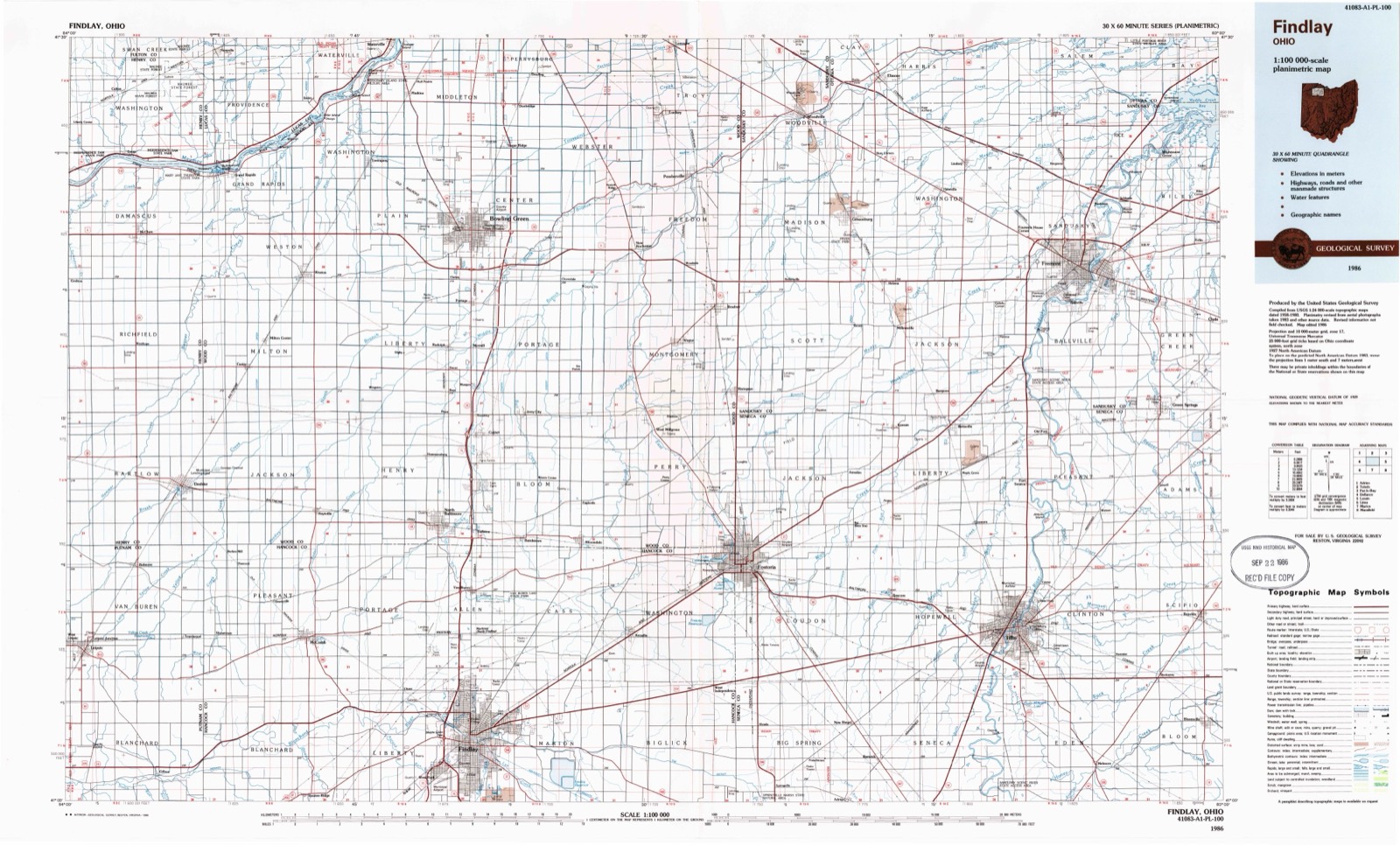
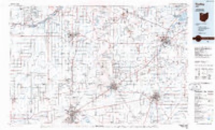
1901 to 1986The same ground, surveyed 85 years apart. Drag the handle to wipe between them. Both sheets are United States Geological Survey originals; neither has been altered.
Topographic sheets covering this place
12 sheetsMatched by testing this settlement's coordinate against the published boundary of every sheet in the United States Geological Survey's historical collection. Each opens the scanned sheet at the Survey.
- 1901 USGS Elmore quadrangle1:62500
- 1903 USGS Elmore quadrangle1:62500
- 1956 USGS Toledo quadrangle1:250000
- 1956 USGS Toledo quadrangle1:250000
- 1956 USGS Toledo quadrangle1:250000
- 1956 USGS Toledo quadrangle1:250000
- 1959 USGS Elmore quadrangle1:24000
- 1961 USGS Toledo quadrangle1:250000
- 1969 USGS Elmore quadrangle1:24000
- 1969 USGS Elmore quadrangle1:24000
- 1986 USGS Findlay quadrangle1:100000
- 1986 USGS Findlay quadrangle1:100000





What happened here
An account from the chapter on Madison township, in the words of 1917.
And Representative
On December 31, 1888, Mr. Mugg was married to Miss Maggie Matthews, a daughter of Eugene and Viola (Harrison) Matthews. The father of Mrs. Mugg was born at Seneca Falls, New York, and from there entered the Federal army at the time of the Civil War. He was wounded at the battle of Gettysburg and was also made a prisoner by the Confederates, but was subsequently paroled at Beaufort, South Carolina.
Specimens collected nearby
12 of 839 shownMuseums hold 839 specimens collected within 10 miles of Gibsonburg between 1825 and 1975: 817 Animalia, 17 Plantae, 5 Fungi. 12 distinct Species records are shown. Collected by Albertin, Albiet, P., Arndt, R. S. and others. Each is a physical object with a catalogue number, and each entry opens the museum's record. This is what was collected and kept, not a survey of what lives here - nothing can be concluded from a species being absent.
| Image | Species | Year | Collected by | Where, as recorded |
|---|---|---|---|---|
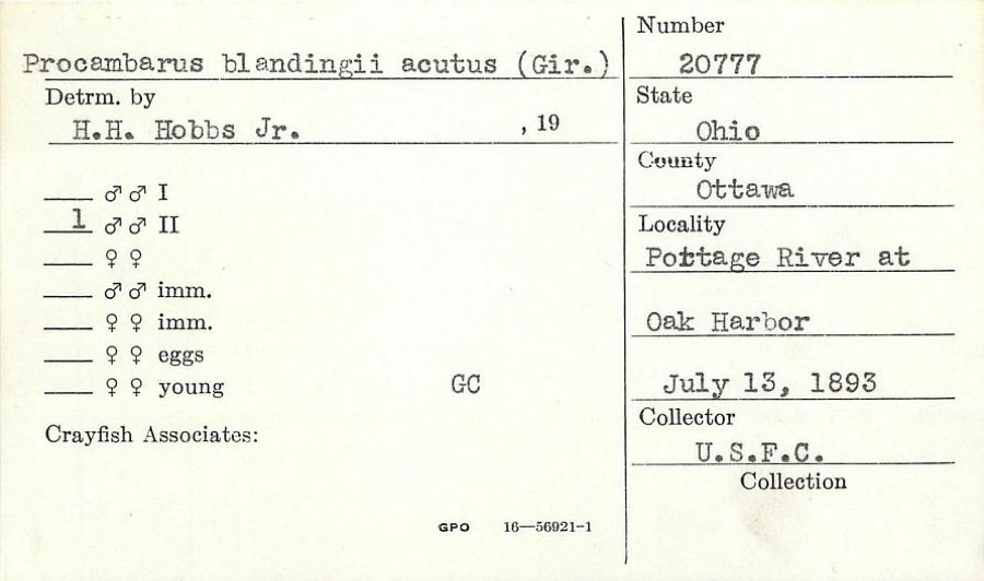 | Procambarus blandingii (Harlan, 1830) | 1893 | United States Fish Commission | Portage River, at Oak Harbor |
 | Hygroamblystegium tenax (Hedw.) Jenn. | 1825 | T. Drummond | Banks of the Portage River |
 | Anas americana J.F.Gmelin, 1789 | 1880 | not recorded | Sandusky, Ohio, USA |
 | Larus argentatus smithsonianus Coues, 1862 | 1881 | not recorded | Sandusky, Ohio, USA |
 | Calidris alba (Pallas, 1764) | 1891 | Henninger, W. F. (Walther Frederick) | Sandusky, Ohio, USA |
 | Stercorarius parasiticus (Linnaeus, 1758) | 1895 | Frey, F. | Sandusky, Ohio, USA |
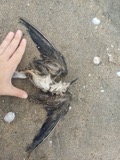 | Chlidonias niger surinamensis (J.F.Gmelin, 1789) | 1896 | Osburn, R. C. (Raymond Carroll) | Sandusky, Ohio, USA |
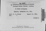 | Elsinoe veneta (Burkh.) Jenkins | 1896 | Selby A. S. | Elmore |
 | Gallinula chloropus cachinnans Bangs, 1915 | 1896 | Hine, J. S. (James Stewart) | Sandusky, Ohio, USA |
| Ixobrychus exilis exilis (Gmelin, 1789) | 1896 | Williamson, E. B. | Sandusky, Ohio, USA | |
 | Actitis macularius (Linnaeus, 1766) | 1897 | Kellicott, D. S. | Sandusky, Ohio, USA |
 | Agelaius phoeniceus (Linnaeus, 1766) | 1897 | not recorded | Sandusky Bay, Sandusky, Ohio, USA |
All 839 specimens within 10 miles, at the Global Biodiversity Information Facility.
Mines and quarries nearby
7 within 5 milesThe federal mineral resources record lists 7 workings within 5 miles of Gibsonburg: 4 past producers, 3 producers. 3 still produce. What was taken out: Stone, Crushed/Broken, Calcium. Distance is straight-line from the map coordinates, so a quarry counted here may appear on a neighbouring settlement's page as well.
| Where | Site | Commodity | Status | Recorded |
|---|---|---|---|---|
| Gibonsburg Plant Quarry | Calcium | Past Producer | Calcite | |
| Gibonsburg Quarry | Calcium | Past Producer | Calcite | |
| Ohio Lime Company Quarry | Calcium | Past Producer | Calcite | |
| Gibonsburg Quarry | Stone, Crushed/Broken | Producer | ||
| Gibonsburg Quarry | Stone, Crushed/Broken | Past Producer | ||
| J E Baker Co Ohio Quarry | Stone, Crushed/Broken | Producer | ||
| Ohio Lime Co Woodville Quarry | Stone, Crushed/Broken | Producer |
Storms nearby
25 since 1997The National Weather Service names Gibsonburg in 25 storm reports between 1997 and 2022: 13 thunderstorm wind, 11 hail, 1 flood. No death or injury is recorded in these reports. Each account below is quoted exactly as the forecast office filed it, from the NOAA Storm Events Database, and each date opens the federal record of that event.
| When | Event | Place named | Harm | What the report says |
|---|---|---|---|---|
| July 2013 | Thunderstorm Wind | Gibsonburg | $3,400,000 | A line of thunderstorms producing winds in excess of 70 mph raced east across Seneca County causing significant damage. Thousands of trees and limbs were downed across the county and large swaths of corn were flattened in fields. Nearly every community in the county sustained damage and hundreds of homes and buildings were damaged. Over two dozen farm buildings were leveled in the county. The Bellevue area was especially hard hit with damage reported on nearly every street. At least a half dozen homes in the city were heavily damaged by fallen trees and dozens of others sustained lesser damage, mainly from lost roofing or siding. Businesses on Main Street had windows blown out and nearly the entire town lost power for an extended period. It took almost five days for power to be fully restored. Houses were also heavily damaged by fallen trees in Fremont and Clyde. Many vehicles were damaged as well. Scattered damage was also observed in the rural portions of the county. Power outages affecting traffic signals and roads closed by downed trees severely hampered travel in the county after this storm. At least four people had to rescued after they became stranded in their vehicles by downed power lines. U.S Route 20 was closed in several locations. Clean up costs from this storm were substantial. Ten townships, four villages and two cities applied for nearly $1 million in disaster relief. |
| May 2015 | Thunderstorm Wind | Gibsonburg | $100,000 | Thunderstorm wind gusts snapped twelve utility poles southeast of Gibsonburg along Shade Road. |
| May 2015 | Thunderstorm Wind | Gibsonburg | $100,000 | Thunderstorm wind gusts snapped twelve utility poles southeast of Gibsonburg along Shade Road. |
| August 2007 | Flood | Gibsonburg | $50,000 | Heavy rain fell across the area during the morning hours of the 20th. Rainfall reports indicate that between 2.0 and 4.0 inches of rain fell during the morning hours, and rainfall rates during this time approached 2.0 inches per hour in Gibsonburg. By late morning, an underpass was closed in Bellevue. The rain tapered off during the afternoon hours of the 20th, but runoff from the heavy rain continued. The heavy runoff quickly swamped streams and rivers across the area. As a result, water gradually backed up causing flooding conditions across the county. Many roads became flooded, and remained that way through the overnight hours into the 21st. The water slowly receded through the day on the 21st. |
| May 2010 | Hail | Gibsonburg | $25,000 | Quarter to walnut sized hail was reported. A few vehicles were damaged. |
| July 1999 | Thunderstorm Wind | Gibsonburg | $25,000 | Several large trees were blown down in and around Gibsonburg and a barn south of town near the intersection of State Route 300 and US 6 had its roof blown off. |
| July 2012 | Thunderstorm Wind | Gibsonburg | $15,000 | Thunderstorm winds downed a tree several large tree limbs. A house was damaged by the fallen tree. |
| June 2010 | Thunderstorm Wind | Gibsonburg | $15,000 | Thunderstorm winds downed several trees and large limbs. |
| May 2015 | Thunderstorm Wind | Gibsonburg | $10,000 | Thunderstorm winds downed several trees west of Gibsonburg along County Road 55. |
| July 2013 | Thunderstorm Wind | Gibsonburg | $3,000 | Two large fallen tree limbs blocked a street. |
| June 2010 | Thunderstorm Wind | Gibsonburg | $2,000 | Thunderstorm winds downed several large tree limbs. |
| March 2003 | Hail | Gibsonburg | $2,000 | Penny size hail was observed. |
| July 2008 | Thunderstorm Wind | Gibsonburg | $1,000 | Thunderstorm winds downed a large tree limb. |
| June 2022 | Thunderstorm Wind | Gibsonburg | - | Trained spotter recorded a peak gust of 58 mph from a passing thunderstorm about one-mile north of Gibsonburg. |
| June 2021 | Thunderstorm Wind | Gibsonburg | - | Trees and power lines down in Gibsonburg. |
| March 2012 | Hail | Gibsonburg | - | Penny sized hail was observed. |
| August 2011 | Hail | Gibsonburg | - | Nickel sized hail was observed. |
| May 2011 | Thunderstorm Wind | Gibsonburg | - | Thunderstorm winds downed a large tree. |
| May 2007 | Hail | Gibsonburg | - | Penny size hail was observed. |
| April 2006 | Hail | Gibsonburg | - | Penny size hail was observed. |
| April 2005 | Hail | Gibsonburg | - | Penny size hail was observed. |
| June 2004 | Hail | Gibsonburg | - | Penny size hail was observed. |
| June 2019 | Hail | Gibsonburg | - | no account filed |
| July 1999 | Hail | Gibsonburg | - | no account filed |
| August 1997 | Hail | Gibsonburg | - | no account filed |
Nearest settlements
The eight closest, with where each one stands in the county. Distances are straight-line, computed from the Geographic Names Information System coordinates.
| Map | Place | Distance | Sheets |
|---|---|---|---|
| Busy Corners | 3.0 miles | 12 | |
| Gibsonburg Junction (historical) | 3.3 miles | 12 | |
| Helena | 3.4 miles | 12 | |
| Hessville | 4.2 miles | 12 | |
| Rollersville | 4.3 miles | 14 | |
| Tinney | 5.0 miles | 12 | |
| Woodville | 5.2 miles | 12 | |
| Millersville | 5.4 miles | 12 |
Elsewhere
Matched on this settlement's Geographic Names Information System number rather than its name, so it cannot be a different place of the same name in another state.
| Wikipedia article on Gibsonburg | An encyclopaedic summary. Its text is share-alike, so it is linked here rather than copied. |
| Wikidata item Q2184376 | The structured record the population and elevation above come from. Public domain (CC0). |
Provenance
This settlement is recorded in the Geographic Names Information System as feature 1061095. The sheet list is computed by point-in-boundary test against the United States Geological Survey's historical topographic inventory. Both are works of the United States government and carry no copyright under 17 U.S.C. 105.
Specimens. Global Biodiversity Information Facility (GBIF), https://www.gbif.org/. Only records licensed CC0 or CC BY are used. Records licensed CC BY-NC are excluded because this site carries advertising. Images are checked individually and any whose licence is non-commercial, no-derivatives or unreadable is refused.
Mines and quarries. USGS Mineral Resources Data System (MRDS) https://mrdata.usgs.gov/mrds/ A work of the United States government, no copyright under 17 U.S.C. 105.
Storms. NOAA National Centers for Environmental Information, Storm Events Database https://www.ncei.noaa.gov/stormevents/ A work of the United States government, no copyright under 17 U.S.C. 105. Narratives are quoted verbatim from the National Weather Service report and are not edited or summarised.