 Block
Block
Woodville, Ohio
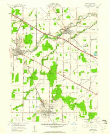
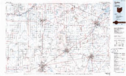
12 topographic sheets cover this place, the earliest surveyed in 1901 and the latest in 1986. It stands in Woodville Township. It lies in ZIP code area 43469. It stands on Victoria Creek. The Survey maps it on the Elmore quadrangle.
Then and now
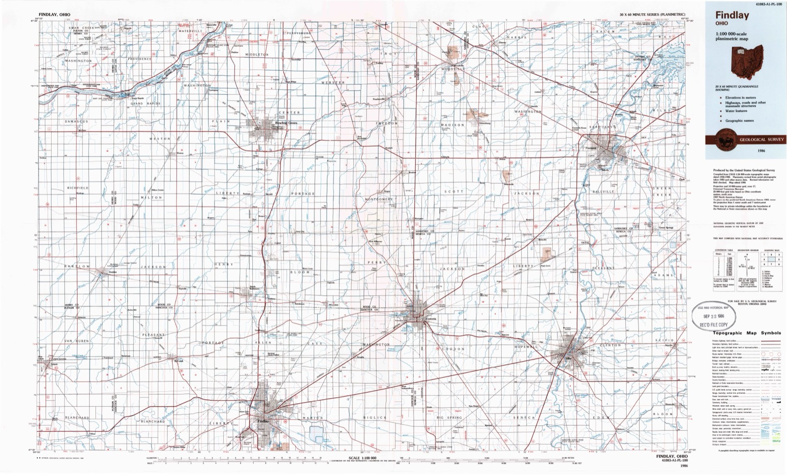
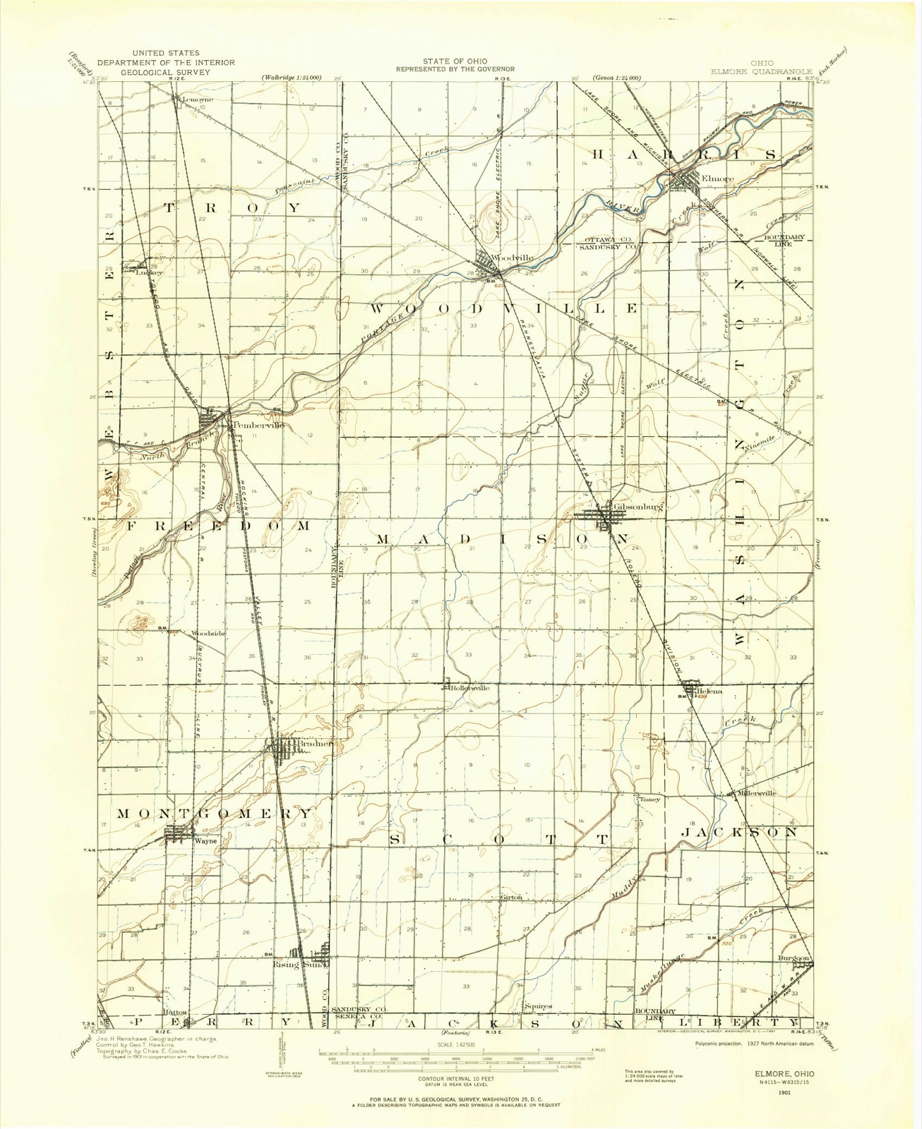
1901 to 1986The same ground, surveyed 85 years apart. Drag the handle to wipe between them. Both sheets are United States Geological Survey originals; neither has been altered.
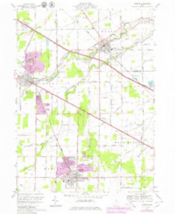
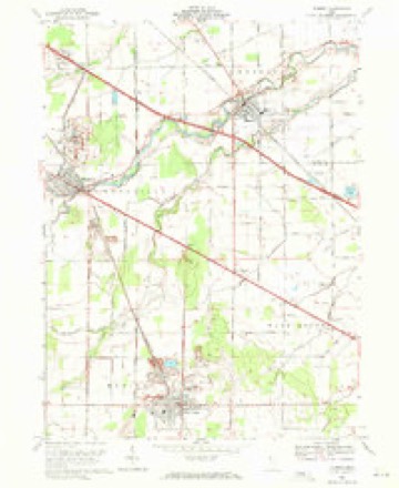
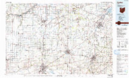
Topographic sheets covering this place
12 sheetsMatched by testing this settlement's coordinate against the published boundary of every sheet in the United States Geological Survey's historical collection. Each opens the scanned sheet at the Survey.
- 1901 USGS Elmore quadrangle1:62500
- 1903 USGS Elmore quadrangle1:62500
- 1956 USGS Toledo quadrangle1:250000
- 1956 USGS Toledo quadrangle1:250000
- 1956 USGS Toledo quadrangle1:250000
- 1956 USGS Toledo quadrangle1:250000
- 1959 USGS Elmore quadrangle1:24000
- 1961 USGS Toledo quadrangle1:250000
- 1969 USGS Elmore quadrangle1:24000
- 1969 USGS Elmore quadrangle1:24000
- 1986 USGS Findlay quadrangle1:100000
- 1986 USGS Findlay quadrangle1:100000





Specimens collected nearby
12 of 683 shownMuseums hold 683 specimens collected within 10 miles of Woodville between 1825 and 1975: 663 Animalia, 15 Plantae, 5 Fungi. 12 distinct Species records are shown. Collected by Albiet, P., Beatty, B. (Brett), Hoke, B. & Norrocky, M. J. (Michael J.), Beatty, B. (Brett), Norrocky, M. J. (Michael J.) & Hoke, B. and others. Each is a physical object with a catalogue number, and each entry opens the museum's record. This is what was collected and kept, not a survey of what lives here - nothing can be concluded from a species being absent.
| Image | Species | Year | Collected by | Where, as recorded |
|---|---|---|---|---|
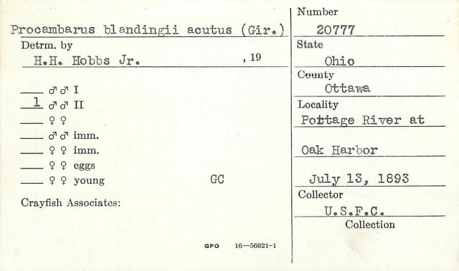 | Procambarus blandingii (Harlan, 1830) | 1893 | United States Fish Commission | Portage River, at Oak Harbor |
 | Hygroamblystegium tenax (Hedw.) Jenn. | 1825 | T. Drummond | Banks of the Portage River |
 | Elsinoe veneta (Burkh.) Jenkins | 1896 | Selby A. S. | Elmore |
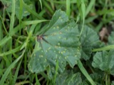 | Puccinia malvacearum Bertero ex Mont. | 1906 | Raush E. W. | Lindsey |
 | Armillaria mellea var. glabra Gillet | 1907 | Fink, B. | Woodville |
 | Hericium coralloides (Scop.) Pers. | 1907 | Bubak F.? | Woodville |
 | Campostoma anomalum pullum (Agassiz, 1854) | 1928 | TL Hankinson | Portage River, at Elmore |
 | Catostomus commersonnii commersonnii (Lacepède, 1803) | 1928 | TL Hankinson | Portage River, at Elmore |
 | Etheostoma blennioides Rafinesque, 1819 | 1928 | TL Hankinson | Portage River, at Elmore |
 | Lythrurus umbratilis (Girard, 1856) | 1928 | TL Hankinson | Portage River, at Elmore |
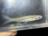 | Notropis atherinoides Rafinesque, 1818 | 1928 | TL Hankinson | Portage River, at Elmore |
 | Notropis buccatus (Cope, 1865) | 1928 | TL Hankinson | Portage River, at Elmore |
All 683 specimens within 10 miles, at the Global Biodiversity Information Facility.
Mines and quarries nearby
10 of 11 shownThe federal mineral resources record lists 11 workings within 5 miles of Woodville: 7 past producers, 4 producers. 4 still produce. What was taken out: Stone, Crushed/Broken, Calcium, Limestone, General, Beryllium. Distance is straight-line from the map coordinates, so a quarry counted here may appear on a neighbouring settlement's page as well.
| Where | Site | Commodity | Status | Recorded |
|---|---|---|---|---|
| Brush Wellman/ Elmore, Ohio | Beryllium | Past Producer | ||
| Woodville Lime & Chemical Quarry | Limestone, General | Past Producer | Sedimentary | |
| Gibonsburg Plant Quarry | Calcium | Past Producer | Calcite | |
| Gibonsburg Quarry | Calcium | Past Producer | Calcite | |
| Martin Marietta Refractories Quarry | Calcium | Past Producer | Calcite | |
| Ohio Lime Company Quarry | Calcium | Past Producer | Calcite | |
| Gibonsburg Quarry | Stone, Crushed/Broken | Producer | ||
| Gibonsburg Quarry | Stone, Crushed/Broken | Past Producer | ||
| Martin Marietta Refractories Quarry | Stone, Crushed/Broken | Producer | ||
| Ohio Lime Co Woodville Quarry | Stone, Crushed/Broken | Producer |
Storms nearby
26 since 1996The National Weather Service names Woodville in 26 storm reports between 1996 and 2022: 14 thunderstorm wind, 8 hail, 3 flood, 1 flash flood. No death or injury is recorded in these reports. Each account below is quoted exactly as the forecast office filed it, from the NOAA Storm Events Database, and each date opens the federal record of that event.
| When | Event | Place named | Harm | What the report says |
|---|---|---|---|---|
| June 2013 | Thunderstorm Wind | Woodville | $200,000 | Thunderstorm winds of greater that 60 mph downed over 30 utility poles along U.S. Route 23 in western Sandusky County. |
| April 2001 | Thunderstorm Wind | Woodville | $75,000 | Thunderstorm winds snapped 21 power poles near Woodville. |
| May 2006 | Thunderstorm Wind | Woodville | $30,000 | Thunderstorm winds knocked over an 18 wheel trailer truck just west of Woodville on U.S. Route 20. |
| August 2011 | Hail | Woodville | $25,000 | Hail as large as golf balls was reported. Some vehicles were damaged. |
| May 2007 | Hail | Woodville | $10,000 | Penny to half dollar size hail was observed. |
| November 2005 | Thunderstorm Wind | Woodville | $10,000 | Two large tree limbs were reported down. Both fell on houses. One of the limbs also took down power lines. |
| September 2002 | Thunderstorm Wind | Woodville | $10,000 | Thunderstorm winds downed three large trees. |
| August 2012 | Thunderstorm Wind | Woodville | $8,000 | High tension lines down near State Route 105 and State Route 51. |
| June 2005 | Thunderstorm Wind | Woodville | $6,000 | A few trees reported down from severe thunderstorm winds. |
| August 2019 | Thunderstorm Wind | Woodville | $5,000 | A tree was blown down on to a house. |
| May 2004 | Thunderstorm Wind | Woodville | $5,000 | Thunderstorm winds downed a few large tree limbs. |
| June 2007 | Thunderstorm Wind | Woodville | $2,000 | Two trees were reported down. |
| June 2007 | Thunderstorm Wind | Woodville | $2,000 | A large tree and scaffolding were blown down. |
| June 2005 | Thunderstorm Wind | Woodville | $2,000 | A few large limbs down. |
| March 2011 | Hail | Woodville | $1,000 | Storm spotters reported nickle sized hail lasting 1 to 2 minutes along Route 20. |
| June 2022 | Thunderstorm Wind | Woodville | - | Several power poles blown down in Woodville. Entire town lost power for a time. |
| July 2019 | Thunderstorm Wind | Woodville | - | A large tree was blown down on Route 20. |
| November 2017 | Flood | Woodville | - | Radar estimated around two to over three inches of rain fell over portions of Sandusky and Seneca Counties on the afternoon of November 18. 911 centers reported widespread flooding in the counties with dozens of road closures in each county. Over 48 hours after the initial overland flooding mentioned here, the Portage and Sandusky Rivers flooded. The Portage River reached moderate flood stage and the Sandusky River reached minor flood stage. This lead to continued road closures for known spots along the rivers. No properties were inundated. ||In Seneca County as of 7:30 p.m., there were reports of at least 19 roads that were flooded. These roads included US 224 east of SR 67; CR 50 near the 2000 block; SR 4 near SR 162; CR 48 near SR 18 at the viaduct; the 4000, 5000 and 7000 blocks of South SR 53; SR 231 North of CR 6; CR 37 between CR 38 and CR 15; CR 58 between SR 19 and SR 4; and the westbound lane of US 224 in the 11000 block east of Attica. There also was flooding or closures at CR 43 and CR 38; CR 48 and TR 123; SR 635 south of CR 592; TR 15 between SR 18 and CR 50; Lelar Street in Clinton Township; the 7000 block of East SR 18; Euclid Avenue between Sandusky Street and Hopewell Avenue; and CR 592 west of SR 635, she said. The spokeswoman said three-fourths of a mile north of Izakk Walton League CR 33 had gravel wash out on the shoulder and SR 101 near Clinton Township Volunteer Fire Department was flooded. ||In Sandusky County as of 830 pm the roads flooded included:|County Road 128 between Turnpike and Cr 127 (signs posted)|County Road 183 approximately mile east of State Rte 101|County Road 223 between 242 and 232 also between 260 and 268(2 Places)|County Road 223 between Woodland Ave. and State Rte 510|COUNTY ROAD 201 AND BUCHANAN (signs posted)|CR 117 (FINDLEY RD) AND CR 48 WOODVILLE|CR 164 between CR 215 and OTTAWA CO LINE (SIGNS POSTED) CLOSED|STATE RTE 412 AND STATE RTE 101|COUNTY ROAD 260 BETWEEN 183 AND 177 ALSO BETWEEN 183 AND 175|Finefrock Rd. Near CR 213 (signs will be posted)|CR 229 @ CR 214 (signs posted)|Oakwood Near River St.|FINEFROCK BEFORE STATE RTE 19 (AT THE DIP)|CR 205 BETWEEN 308 AND NORTHWEST ROAD|CR 288 BETWEEN 101 AND 175|CR 205 BETWEEN CR 302 AND CR 308|CR 13 BETWEEN 635 AND CR 58|CR 168 BETWEEN 173 AND COUNTY LINE|Co. Rd 13 between St. Rte. 635 and Co. Rd. 58|CR 90 between CR 55 and CR 59|CR 59 and CR 65|CR 65 TO STATE RTE 590 to CR 74|CR 250 BETWEEN CR 247 AND STATE RTE 6|Christy Rd. CLOSED between St. Rte. 19 and Commerce Drive. |
| July 2017 | Flood | Woodville | - | Heavy rain fell over Sandusky County on the morning of the 13th. The heavy rain fell onto already saturated ground conditions from previously heavy rainfall during the week. Most small stream and creeks overflowed their banks across the County. Flooding caused extensive road closures across the county, but no inundation of homes or businesses. A few of the road closures: County Roads 164, 146,153 flooded. SR 19 closed near Muddy Creek in Kingsway. |
| August 2011 | Hail | Woodville | - | Nickel sized hail was observed. |
| May 2010 | Hail | Woodville | - | Quarter sized hail was reported. |
| August 2007 | Flood | Woodville | - | Several rounds of heavy rain fell across the area beginning during the morning hours of the 20th. At 8:00 am on the 20th, the river stage at Woodville was 2.87 feet. The river quickly reacted to the heavy rain across the area and rose between 1 and 3 feet per hour during the afternoon of the 20th. The river exceeded flood stage of 9.0 feet during the evening hours of the 20th. The river remained in flood through the 21st, and crested at around 11.6 feet at around 11:00 pm on the 21st. Despite the rain tapering off in northwest portions of Sandusky County, another round of heavy rain moved through southern Wood and Hancock Counties during the overnight hours and into the morning of the 21st. This second round of heavy rain impacted the upstream runoff basins that drain into the Portage River. Additionally, another short period of heavy rain fell during the morning hours of the 22nd. The significant amount of runoff draining into the Portage River well upstream kept the river in flood for several days. It did not fall below flood stage until nearly three and a half days later, during the early morning hours of the 24th. |
| May 2006 | Hail | Woodville | - | Nickel size hail was observed. |
| July 1998 | Hail | Woodville | - | no account filed |
| June 1998 | Hail | Woodville | - | no account filed |
| June 1996 | Flash Flood | Woodville | - | no account filed |
Nearest settlements
The eight closest, with where each one stands in the county. Distances are straight-line, computed from the Geographic Names Information System coordinates.
| Map | Place | Distance | Sheets |
|---|---|---|---|
| Tousaint (historical) | 2.3 miles | 12 | |
| Gibsonburg Junction (historical) | 2.8 miles | 12 | |
| Busy Corners | 3.9 miles | 12 | |
| Gibsonburg | 5.2 miles | 12 | |
| Hessville | 7.3 miles | 12 | |
| Rollersville | 7.7 miles | 14 | |
| Lindsey | 8.0 miles | 12 | |
| Helena | 8.6 miles | 12 |
Provenance
This settlement is recorded in the Geographic Names Information System as feature 1049343. The sheet list is computed by point-in-boundary test against the United States Geological Survey's historical topographic inventory. Both are works of the United States government and carry no copyright under 17 U.S.C. 105.
Specimens. Global Biodiversity Information Facility (GBIF), https://www.gbif.org/. Only records licensed CC0 or CC BY are used. Records licensed CC BY-NC are excluded because this site carries advertising. Images are checked individually and any whose licence is non-commercial, no-derivatives or unreadable is refused.
Mines and quarries. USGS Mineral Resources Data System (MRDS) https://mrdata.usgs.gov/mrds/ A work of the United States government, no copyright under 17 U.S.C. 105.
Storms. NOAA National Centers for Environmental Information, Storm Events Database https://www.ncei.noaa.gov/stormevents/ A work of the United States government, no copyright under 17 U.S.C. 105. Narratives are quoted verbatim from the National Weather Service report and are not edited or summarised.