 Block
Block
Gilboa, Ohio
9 topographic sheets cover this place, the earliest surveyed in 1956 and the latest in 1986. It stands in Blanchard Township. It lies in ZIP code area 45875. It stands on Dukes Run. The Survey maps it on the Leipsic quadrangle. 168 people lived here at the 2020 count. It stands 748 feet above sea level.
Population over time
2 figuresGilboa fell from 184 to 168 between 2010 and 2020. These are the recorded population figures Wikidata holds for this place, reached through the Geographic Names Information System number this page is keyed on rather than by name, so they belong to this place and not to another of the same name. Most are census counts, but not all are: an early figure may be a founding or settlement estimate. The change column is computed, and is left blank where more than 20 years separate a figure from the one before it, because a gap that long is not a change between two counts.
| Year | People | Change |
|---|---|---|
| 2010 | 184 | |
| 2020 | 168 | -16 (-9%) |
Then and now
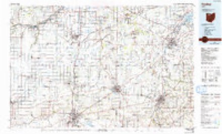
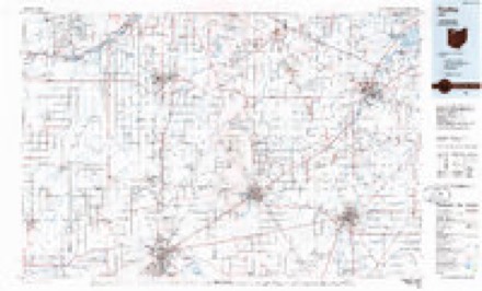
1956 to 1986The same ground, surveyed 30 years apart. Drag the handle to wipe between them. Both sheets are United States Geological Survey originals; neither has been altered.
Topographic sheets covering this place
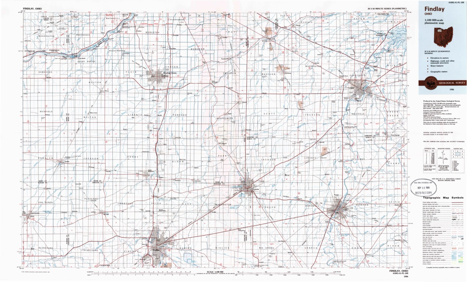
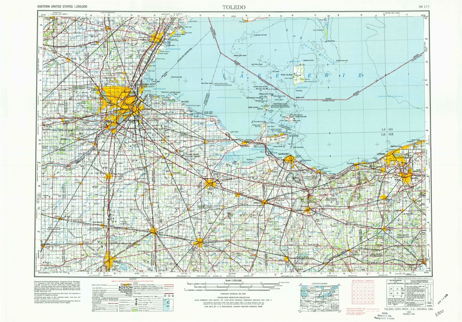
9 sheetsMatched by testing this settlement's coordinate against the published boundary of every sheet in the United States Geological Survey's historical collection. Each opens the scanned sheet at the Survey.
- 1956 USGS Toledo quadrangle1:250000
- 1956 USGS Toledo quadrangle1:250000
- 1956 USGS Toledo quadrangle1:250000
- 1956 USGS Toledo quadrangle1:250000
- 1960 USGS Leipsic quadrangle1:24000
- 1960 USGS Leipsic quadrangle1:24000
- 1961 USGS Toledo quadrangle1:250000
- 1986 USGS Findlay quadrangle1:100000
- 1986 USGS Findlay quadrangle1:100000





In the county-history sources
1,552 words on this townshipHistory of Putnam County, Ohio : Its Peoples, Industries, and Institutions, published 1915 names this settlement in its chapter on Blanchard Township. These are the passages that mention it, exactly as the scans read.
Gilboa, the first town, was laid out in 1837 by Elisha Stout, who also built the first grist-mill in the township. The first election for township trustees was held in Gilboa, November 19, 1852. Wolves were plentiful in this part of the county, also deer, wild turkeys and other game could be seen. The first school in the township was taught by James Wade. The school house was built of logs, with hewed benches for seats and wide boards nailed against the wall for writing desks. It was heated by a fireplace made of mortar and sticks. Reading, writing, spelling and arithmetic were the only branches taught. Mr. Wade was followed, in order, by Eliza Emmons, Emeline Hubbard, William Pierman, Mrs. Susan McClish, Mary Cartwright, James Agner, Lydia Shelby, Jane McDowell, Luella Agner, Laura Higginbothan and Nettie Diviney.
Passage source: History of Putnam County, Ohio : Its Peoples, Industries, and Institutions, published 1915.
Gilboa, as was stated before, was laid out in 1837. Nelson McCallister built the first frame house in the village, but it was only a short time until the town began to grow. About the year 1839, a tavern was opened by Benjamin Stewart and Edward Mercer started a general store. Blacksmiths, mechanics and men of different trades began to settle here and it became a thriving village.
Passage source: History of Putnam County, Ohio : Its Peoples, Industries, and Institutions, published 1915.
It is characteristic that Gilboa had the most rapid growth of any town in the county. From 1840 to the early fifties it was classed as the most thriving town in the county. At the time the early surveys were made, in 1852, for the Dayton & Michigan railroad, the citizens of Gilboa made an active and persistent contest with Findlay and Ottawa for the location of that road through their town; they failed in their efforts, and this was the first blow which the town suffered.
Passage source: History of Putnam County, Ohio : Its Peoples, Industries, and Institutions, published 1915.
Machine-read from a century-old scan, so expect the errors a machine makes: misspelled names, dropped words, stray characters.
Read the whole chapter on Blanchard Township - it names this place 2 more 2 times.
Fires near this place
1 since 2002Regional context, not property-specific evidence. The federal wildfire occurrence database lists 1 fire within 5 miles of Gilboa between 2002 and 2002, burning about 0 acres in total. None started naturally. None was recorded as arson. Distance is straight-line from the map coordinates, so a fire counted here may appear on a neighbouring settlement's page as well.
| Reported cause | Fires |
|---|---|
| Missing data/not specified/undetermined | 1 |
The most recent of them, most recent first, with the day each was reported and the service that recorded it.
| Date | Cause | Size | Reported by | Name on the report |
|---|---|---|---|---|
| 6 July 2002 | Missing data/not specified/undetermined | under an acre | Ohio State Fire Marshal's Office | not named |
Settlements close enough to share some of these fires:
Specimens collected near this place
12 of 94 shownRegional context, not property-specific evidence. Museums hold 94 specimens collected within 10 miles of Gilboa between 1860 and 1967: 85 Animalia, 8 Plantae, 1 Fungi. 12 distinct Species records are shown. Collected by Bureau of Fisheries, CLARENCE CLARK, Everly, L. W. (Laura Wadsworth) & Everly, R. T. (Ray Thomas) and others. Each is a physical object with a catalogue number, and each entry opens the museum's record. This is what was collected and kept, not a survey of what lives here - nothing can be concluded from a species being absent.
| Image | Species | Year | Collected by | Where, as recorded |
|---|---|---|---|---|
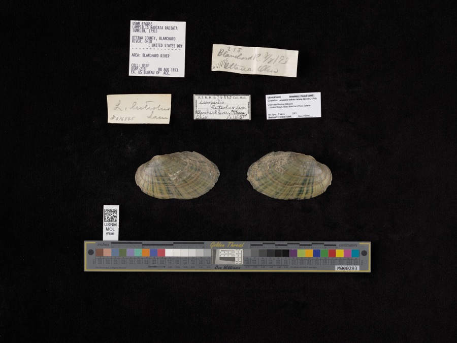 | Lampsilis radiata radiata (Gmelin, 1791) | 1893 | Bureau of Fisheries | Blanchard River |
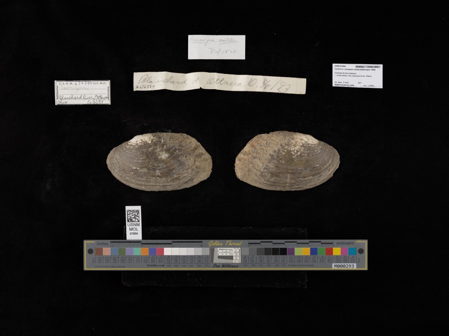 | Lasmigona costata (Rafinesque, 1820) | 1893 | not recorded | Blanchard River, Ottawa |
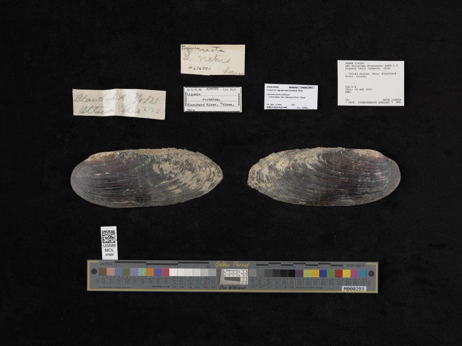 | Ligumia recta (Lamarck, 1819) | 1893 | O. E. | Blanchard River, Ottawa |
 | Hybopsis amblops (Rafinesque, 1820) | 1860 | unknown | Blanchard R. at Ottawa |
 | Botaurus lentiginosus (Rackett, 1813) | 1878 | not recorded | |
 | Calidris alpina (Linnaeus, 1758) | 1878 | Porter collection, J.B. | |
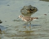 | Calidris minutilla (Vieillot, 1819) | 1878 | Porter collection, J.B. | |
 | Chlidonias niger (Linnaeus, 1758) | 1878 | Porter collection, J.B. | |
 | Gallinago gallinago (Linnaeus, 1758) | 1878 | Porter, J.B. | |
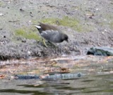 | Gallinula chloropus (Linnaeus, 1758) | 1878 | Porter, J.B. | |
 | Sterna hirundo Linnaeus, 1758 | 1878 | Porter collection, J.B. | |
 | Botaurus Stephens, 1819 | 1879 | not recorded |
All 94 specimens within 10 miles, at the Global Biodiversity Information Facility.
Mines and quarries near this place
4 within 5 milesRegional context, not property-specific evidence. The federal mineral resources record lists 4 workings within 5 miles of Gilboa: 2 past producers, 2 producers. 2 still produce. What was taken out: Limestone, General, Stone, Crushed/Broken. Distance is straight-line from the map coordinates, so a quarry counted here may appear on a neighbouring settlement's page as well.
| Where | Site | Commodity | Status | Recorded |
|---|---|---|---|---|
| Ottawa Stone Co Quarry | Stone, Crushed/Broken | Producer | ||
| Ottawa Stone Quarry | Limestone, General | Past Producer | Sedimentary | |
| Putnam Quarry | Limestone, General | Past Producer | Sedimentary | |
| Putnam Stone Co. | Stone, Crushed/Broken | Producer |
Storms near this place
4 since 1998Regional context, not property-specific evidence. The National Weather Service names Gilboa in 4 storm reports between 1998 and 2020: 2 thunderstorm wind, 1 hail, 1 tornado. No death or injury is recorded in these reports. Each account below is quoted exactly as the forecast office filed it, from the NOAA Storm Events Database, and each date opens the federal record of that event.
| When | Event | Place named | Harm | What the report says |
|---|---|---|---|---|
| July 1998 | Tornado (F1) | Gilboa | $40,000 | BRICK HOME BADLY DAMAGED. ROOF TORN OFF AND LARGE CHUNKS OF BRICK CHIMNEY STREWN ABOUT YARD. TREE WAS FELLED ON CAMPER-TRAILER. |
| June 2020 | Thunderstorm Wind | Gilboa | - | Spotter reports trees down in the vicinity of Gilboa. |
| July 1998 | Thunderstorm Wind | Gilboa | - | TREES UP TO 2 FEET IN DIAMETER DOWN THROUGHOUT COUNTY. WIND DAMAGE TO HOME IN GILBOA. POWER LINES DOWN IN COUNTY ALONG WITH FLOODING ON COUNTY ROADS. |
| May 1998 | Hail | Gilboa | - | no account filed |
Nearest settlements
The eight closest, with where each one stands in the county. Distances are straight-line, computed from the Geographic Names Information System coordinates.
| Map | Place | Distance | Sheets |
|---|---|---|---|
| Upper Tauwa (historical) | 5.3 miles | 12 | |
| Pandora | 5.3 miles | 14 | |
| Spring Lake Village | 6.1 miles | 14 | |
| Townwood | 6.4 miles | 9 | |
| Leipsic | 6.5 miles | 9 | |
| Ottawa | 6.6 miles | 12 | |
| Leipsic Junction | 6.8 miles | 9 | |
| Green Acres Estates | 7.1 miles | 12 |
Elsewhere
Matched on this settlement's Geographic Names Information System number rather than its name, so it cannot be a different place of the same name in another state.
| Wikipedia article on Gilboa | An encyclopaedic summary. Its text is share-alike, so it is linked here rather than copied. |
| Wikidata item Q585274 | The structured record the population and elevation above come from. Public domain (CC0). |
Provenance
This settlement is recorded in the Geographic Names Information System as feature 1048782. The sheet list is computed by point-in-boundary test against the United States Geological Survey's historical topographic inventory. Both are works of the United States government and carry no copyright under 17 U.S.C. 105.
Wildfire. Short, Karen C. 2022. Spatial wildfire occurrence data for the United States, 1992-2020 [FPA_FOD_20221014]. 6th Edition. Fort Collins, CO: Forest Service Research Data Archive. https://doi.org/10.2737/RDS-2013-0009.6 Collected with United States Government funding and usable without additional permissions or fees.
Specimens. Global Biodiversity Information Facility (GBIF), https://www.gbif.org/. Only records licensed CC0 or CC BY are used. Records licensed CC BY-NC are excluded because this site carries advertising. Images are checked individually and any whose licence is non-commercial, no-derivatives or unreadable is refused.
Mines and quarries. USGS Mineral Resources Data System (MRDS) https://mrdata.usgs.gov/mrds/ A work of the United States government, no copyright under 17 U.S.C. 105.
Storms. NOAA National Centers for Environmental Information, Storm Events Database https://www.ncei.noaa.gov/stormevents/ A work of the United States government, no copyright under 17 U.S.C. 105. Narratives are quoted verbatim from the National Weather Service report and are not edited or summarised.