 Block
Block
Good Hope, Ohio
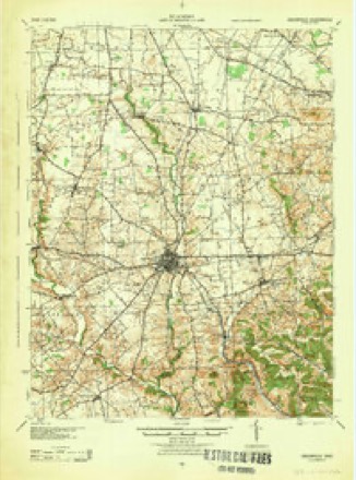
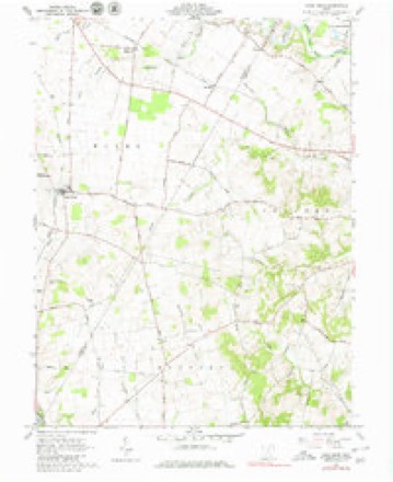
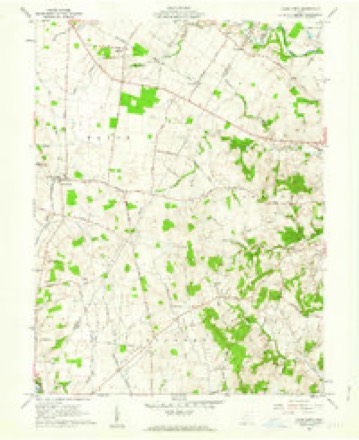
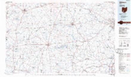
12 topographic sheets cover this place, the earliest surveyed in 1917 and the latest in 1986. It stands in Wayne Township. It lies in ZIP code area 43160. The Survey maps it on the Good Hope quadrangle.
Then and now
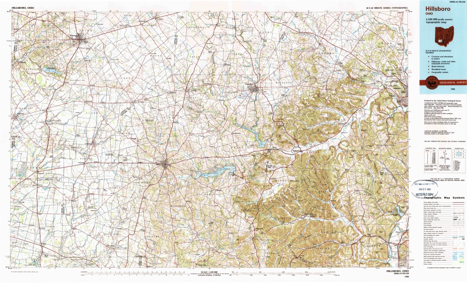
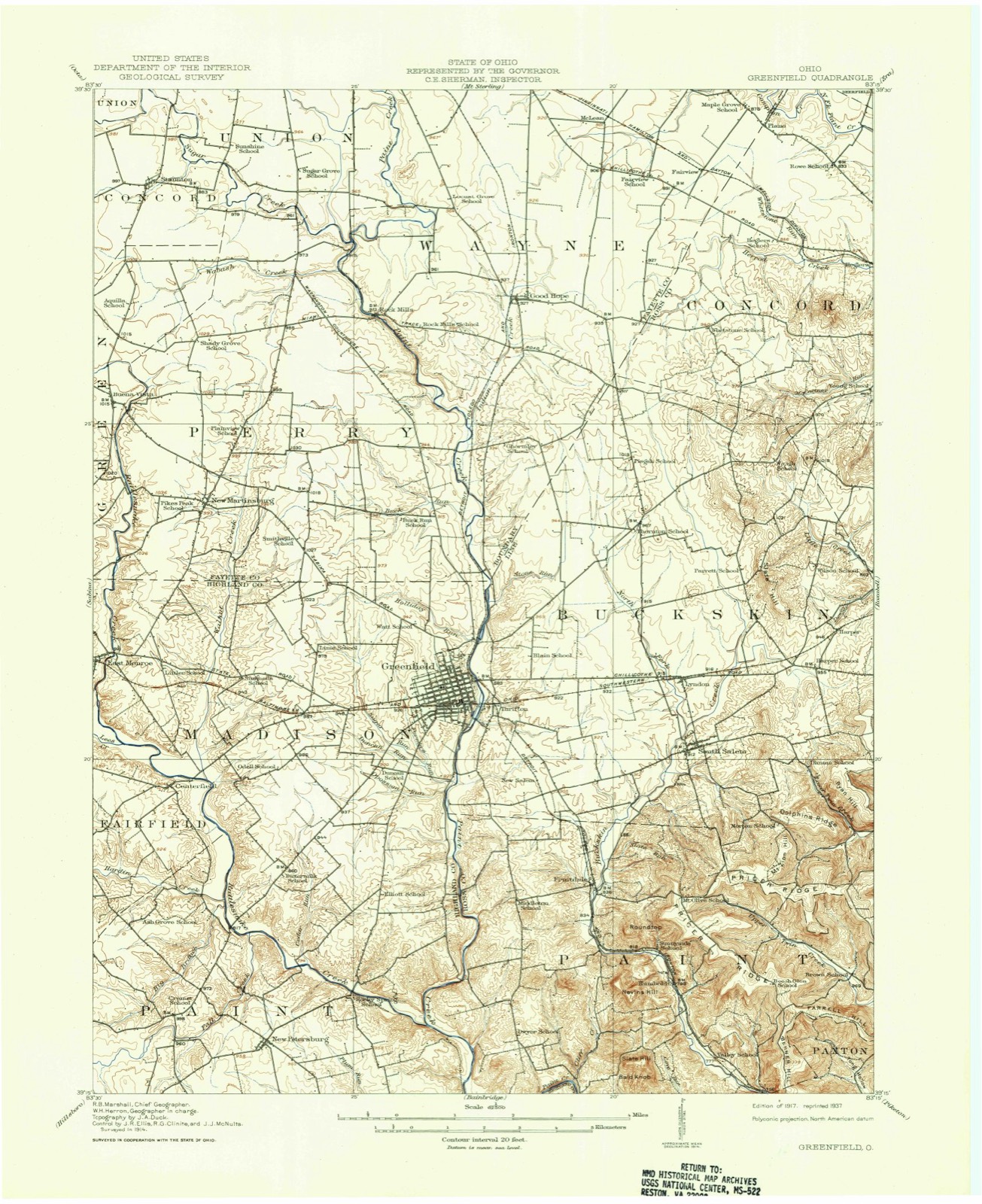
1917 to 1986The same ground, surveyed 69 years apart. Drag the handle to wipe between them. Both sheets are United States Geological Survey originals; neither has been altered.
Topographic sheets covering this place
12 sheetsMatched by testing this settlement's coordinate against the published boundary of every sheet in the United States Geological Survey's historical collection. Each opens the scanned sheet at the Survey.
- 1917 USGS Greenfield quadrangle1:62500
- 1917 USGS Greenfield quadrangle1:62500
- 1944 USGS Greenfield quadrangle1:62500
- 1947 USGS Columbus quadrangle1:250000
- 1960 USGS Good Hope quadrangle1:24000
- 1960 USGS Good Hope quadrangle1:24000
- 1961 USGS Columbus quadrangle1:250000
- 1962 USGS Columbus quadrangle1:250000
- 1967 USGS Columbus quadrangle1:250000
- 1967 USGS Columbus quadrangle1:250000
- 1986 USGS Hillsboro quadrangle1:100000
- 1986 USGS Hillsboro quadrangle1:100000





In the county-history sources
5,380 words on this townshipHistory of Fayette County, Ohio : Her People, Industries and Institutions, published 1914 names this settlement in its chapter on Wayne Township. These are the passages that mention it, exactly as the scans read.
At a very early date this township had no public stopping place for the weary travelers. So any settler's cabin must be sought out for a resting place during the night. All were open to well-disposed men and women. Later, but still before the advent of the railroad through the place, the State road travel became large and some place like a country inn, or hotel, was almost a necessity to the times and to the traveling public. Finally Noah Hukill was induced to open such a tavern at his homestead place, on the Washington and Chillicothe pike. It soon got great name and fame. It was always orderly and clean and good beds and meals were always "set up'" to those- passing through who wished entertainment. He sold liquor, and his first sign-board read 'AVhiskey and Oats.'' The next sign flung to the breeze read, ''Inn by N. Hukill." The third and last of which there is any record, and which hung at the side of the house, at the sport of the wind many years, bore this inscription, "Independence, Please and Plenty." As high as twenty teamsters frequently stopped there in a single night. The township had no further attempts at hotels until the building of the railroad through Good Hope.
Passage source: History of Fayette County, Ohio : Her People, Industries and Institutions, published 1914.
Good Hope postoffice is a fourth-class office, and there have been but few postmasters in charge. N. A. Divines was commissioned in 1881 and served for the exceptionallv long period of tliirty-three years and up to April 10, 1914, when I. O. Fountain was commissioned. There is one free rural delivery route out from this point, a distance of sixteen miles.
Passage source: History of Fayette County, Ohio : Her People, Industries and Institutions, published 1914.
Besides Good Hope, there are, or have been, in this township towns as follows : Rockville or Rock Mills, in survey No. 2925. This place has a history running back almost a century. The mills and a store and small shops made up the sum total. Stephen Yoenian was first to locate there in 18 1 5. He built the mill and constructed the dam.
Passage source: History of Fayette County, Ohio : Her People, Industries and Institutions, published 1914.
Machine-read from a century-old scan, so expect the errors a machine makes: misspelled names, dropped words, stray characters.
Read the whole chapter on Wayne Township - it names this place 2 more 2 times.
Specimens collected near this place
12 of 197 shownRegional context, not property-specific evidence. Museums hold 197 specimens collected within 10 miles of Good Hope between 1907 and 1975: 192 Animalia, 3 Plantae, 2 Fungi. 12 distinct Species records are shown. Collected by Bowles, P. (Pearl), Brubaker, J. A. & Higgins, Brubaker, J. A. & Link, B. and others. Each is a physical object with a catalogue number, and each entry opens the museum's record. This is what was collected and kept, not a survey of what lives here - nothing can be concluded from a species being absent.
| Image | Species | Year | Collected by | Where, as recorded |
|---|---|---|---|---|
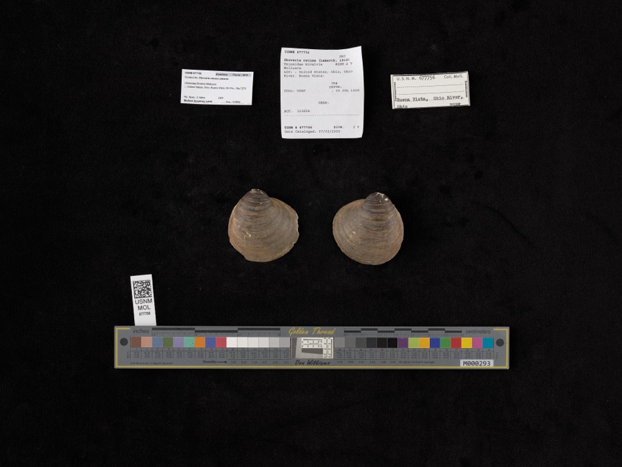 | Obovaria retusa (Lamarck, 1819) | 1909 | Bureau of Fisheries | Ohio River, Buena Vista |
 | Accipiter cooperii (Bonaparte, 1828) | 1907 | Hegler, A. (Almer) | Fairview, Fayette, Ohio, USA |
 | Buteo jamaicensis borealis (Gmelin, 1788) | 1907 | Hegler, A. (Almer) | Fairview Sta., Fayette, Ohio, USA |
_2.jpg) | Buteo lagopus sanctijohannis (Gmelin, 1788) | 1907 | Hegler, A. (Almer) | Fairview Sta., Fayette, Ohio, USA |
 | Falco rusticolus obsoletus (J.F.Gmelin, 1788) | 1907 | Hegler, A. (Almer) | Washington C.H., Fayette, Ohio, USA |
| Tiphiidae | 1925 | Pallister, J. C. (John C.) | Madison, Fayette Co., Ohio, USA | |
 | Notropis heterolepis Eigenmann & Eigenmann, 1893 | 1926 | Wickliff, E. L. (Edward L.) | Rattlesnake Creek, no more precise locality provided, SW corner of Fayette County OH |
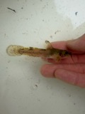 | Noturus miurus Jordan, 1877 | 1926 | Wickliff, E. L. (Edward L.) | water unknown, #10 Fayette Co, n/a, township n/a |
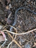 | Plethodon richmondi Netting & Mittleman, 1938 | 1929 | Walker, C. F. (Charles F.) | Perry Twp., Fayette Co., Ohio |
 | Rana clamitans Latreille, 1801 | 1929 | Walker, C. F. (Charles F.) & Trautman, M. B. (Milton Bernard) | SW Wayne Twp., Fayette Co., Ohio |
 | Acris crepitans Baird, 1854 | 1930 | Walker, C. F. (Charles F.) & Trautman, M. B. (Milton Bernard) | SW Wayne Twp., Fayette Co., Ohio |
 | Bufo americanus Holbrook, 1836 | 1930 | Walker, C. F. (Charles F.) | SW Wayne Twp., Fayette Co., Ohio |
All 197 specimens within 10 miles, at the Global Biodiversity Information Facility.
Mines and quarries near this place
3 within 5 milesRegional context, not property-specific evidence. The federal mineral resources record lists 3 workings within 5 miles of Good Hope: 1 past producer, 1 plant, 1 producer. 2 still produce. What was taken out: Stone, Crushed/Broken, Limestone, General. Distance is straight-line from the map coordinates, so a quarry counted here may appear on a neighbouring settlement's page as well.
| Where | Site | Commodity | Status | Recorded |
|---|---|---|---|---|
| Greenfield Quarry | Limestone, General | Past Producer | Sedimentary | |
| Greenfield Quarry & Mill | Stone, Crushed/Broken | Plant | ||
| Sugar Creek Quarry | Stone, Crushed/Broken | Producer |
Storms near this place
6 since 2004Regional context, not property-specific evidence. The National Weather Service names Good Hope in 6 storm reports between 2004 and 2025: 3 tornado, 1 thunderstorm wind, 1 flash flood, 1 hail. No death or injury is recorded in these reports. Each account below is quoted exactly as the forecast office filed it, from the NOAA Storm Events Database, and each date opens the federal record of that event.
| When | Event | Place named | Harm | What the report says |
|---|---|---|---|---|
| October 2010 | Tornado (EF0) | Good Hope | $75,000 | Along the path of the tornado, several trees were snapped and several structures lost parts or all of their roofs. The heaviest damage occurred to a large storage facility which suffered major roof loss and total collapse of the northern half of the structure. On the western edge of Washington Court House there was roof damage to two businesses in addition to tree damage. This damage is consistent with winds around 85 miles per hour. |
| April 2025 | Tornado (EF0) | Good Hope | $15,000 | This tornado developed in Clinton County at 0029EST, near Reed Road and State Route 72. The tornado traveled east-northeast and entered Fayette County at 0032EST, just east of Greenfield-Sabina Road at 0032EST. As it continued to move east-northeast, a roof was removed from a barn on Miami Trace Road. More tree damage was noted along Snow Hill Road and Bunkerhill Glendon Road. A silo was damaged on Staunton Jasper Road before the tornado ended. |
| May 2011 | Flash Flood | Good Hope | $10,000 | One family was evacuated from their residence due to flash flooding. |
| May 2004 | Thunderstorm Wind | Good Hope | $3,000 | Trees were downed. |
| October 2010 | Tornado (EF0) | Good Hope | - | The tornado touched down in Clinton County at 1224 EST and continued into Fayette County at 1224 EST before lifting at 1225 EST. The path width was 200 yards. The tornado traveled for 3.81 miles in Clinton County and then 0.14 miles in Fayette County. The damage was consistent with winds around 85 miles per hour. The tornado touched down just west of State Route 72, about one mile northwest of the intersection with State Route 729. The tornado was observed on the ground from two separate residences near the initial touch down location. Four utility poles were observed to be broken and briefly suspended in the tornado near one of the residences. An occupant of the other residence observed debris circulating immediately east of State Route 72. At one location east of State Route 72, the tornado pulled a large metal door from a barn and destroyed a portion of the metal roof. Fragments of the roof were carried for approximately a quarter of a mile to the northeast. Field debris was also found wedged between the wall boards of the barn. The tornado continued northeast and next crossed Hornbeam Road approximately three-fourths of a mile northwest of the intersection with State Route 729. Damage on the east side of Hornbeam Road included a horse trailer that was picked up and carried about 100 feet. Numerous trees were also snapped on this same property. The tornado then traveled northeast across open and harvested fields until arriving at Greenfield-Sabina Road, approximately three-fourths of a mile northwest of the intersection with Snow Hill Road. Damage on the east side of the road included damage to a metal roof and a wall of a livestock barn. There was also roof and siding damage to two residences nearby. The concentrated damage path appeared to end just past this location in far western Fayette County. |
| May 2025 | Hail | Good Hope | - | no account filed |
Nearest settlements
The eight closest, with where each one stands in the county. Distances are straight-line, computed from the Geographic Names Information System coordinates.
| Map | Place | Distance | Sheets |
|---|---|---|---|
| Rock Mills | 2.4 miles | 11 | |
| Ghormley (historical) | 2.7 miles | 11 | |
| McLean | 3.4 miles | 12 | |
| Boyds | 3.4 miles | 11 | |
| Fairview | 3.9 miles | 12 | |
| Plano | 5.1 miles | 12 | |
| New Martinsburg | 6.3 miles | 11 | |
| Olympia (historical) | 6.5 miles | 11 |
Provenance
This settlement is recorded in the Geographic Names Information System as feature 1064739. The sheet list is computed by point-in-boundary test against the United States Geological Survey's historical topographic inventory. Both are works of the United States government and carry no copyright under 17 U.S.C. 105.
Specimens. Global Biodiversity Information Facility (GBIF), https://www.gbif.org/. Only records licensed CC0 or CC BY are used. Records licensed CC BY-NC are excluded because this site carries advertising. Images are checked individually and any whose licence is non-commercial, no-derivatives or unreadable is refused.
Mines and quarries. USGS Mineral Resources Data System (MRDS) https://mrdata.usgs.gov/mrds/ A work of the United States government, no copyright under 17 U.S.C. 105.
Storms. NOAA National Centers for Environmental Information, Storm Events Database https://www.ncei.noaa.gov/stormevents/ A work of the United States government, no copyright under 17 U.S.C. 105. Narratives are quoted verbatim from the National Weather Service report and are not edited or summarised.