 Block
Block
Granby, Massachusetts
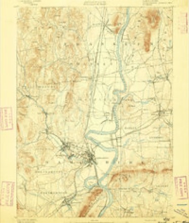
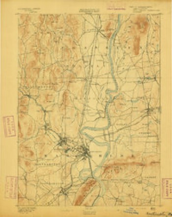
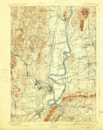
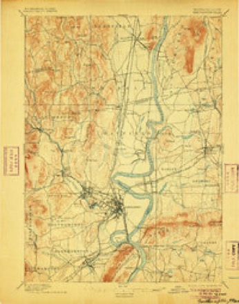
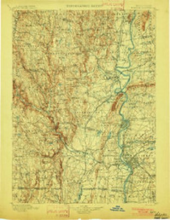
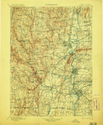
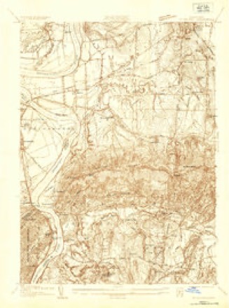
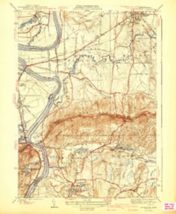
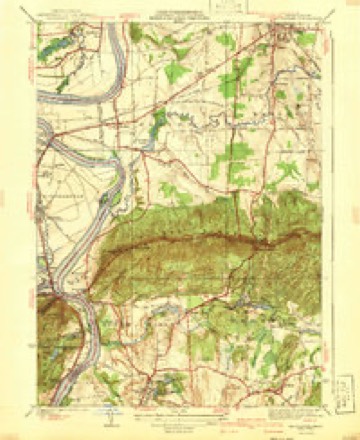
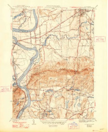
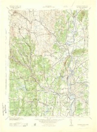
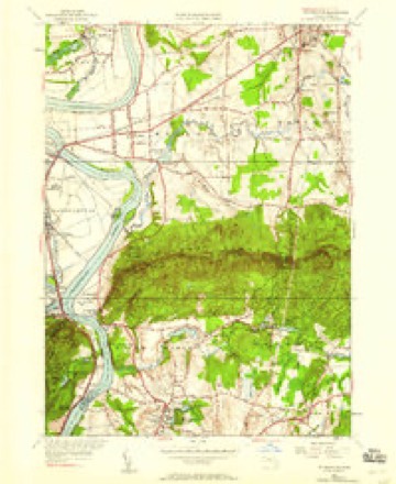
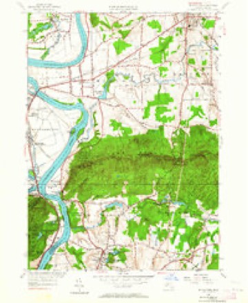
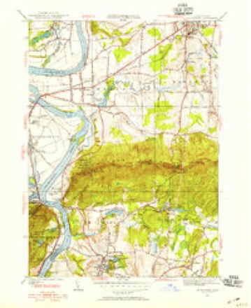
44 topographic sheets cover this place, the earliest surveyed in 1885 and the latest in 1985. It stands in Granby town. It lies in ZIP code area 01033. It stands on Fox Hill. The Survey maps it on the Mount Holyoke quadrangle. 1,306 people lived here at the 2020 count. It stands 312 feet above sea level.
Population over time
3 figuresGranby fell from 1,344 to 1,306 between 2000 and 2020. These are the recorded population figures Wikidata holds for this place, reached through the Geographic Names Information System number this page is keyed on rather than by name, so they belong to this place and not to another of the same name. Most are census counts, but not all are: an early figure may be a founding or settlement estimate. The change column is computed, and is left blank where more than 20 years separate a figure from the one before it, because a gap that long is not a change between two counts.
| Year | People | Change |
|---|---|---|
| 2000 | 1,344 | |
| 2010 | 1,368 | +24 (+2%) |
| 2020 | 1,306 | -62 (-5%) |
Then and now
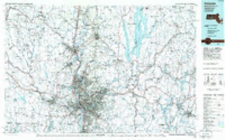
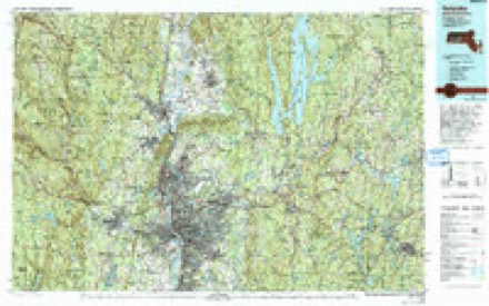
1885 to 1985The same ground, surveyed 100 years apart. Drag the handle to wipe between them. Both sheets are United States Geological Survey originals; neither has been altered.
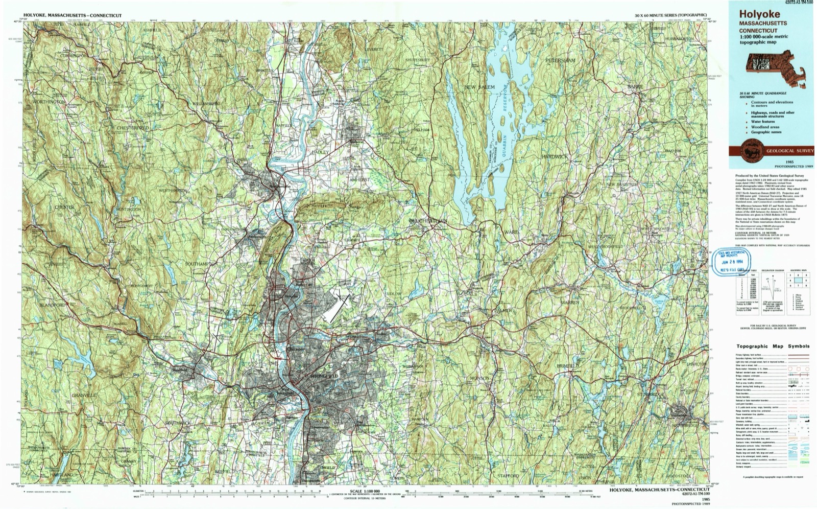
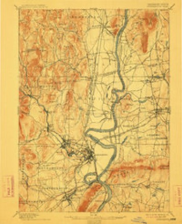
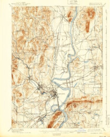
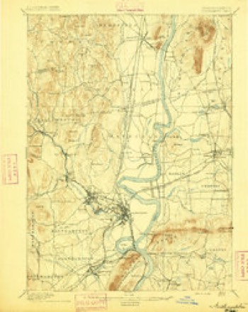
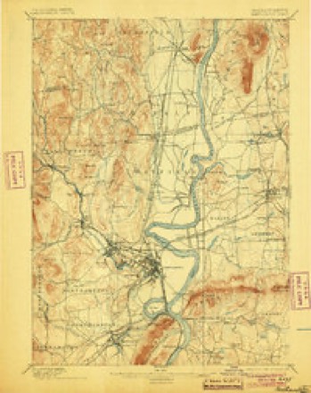
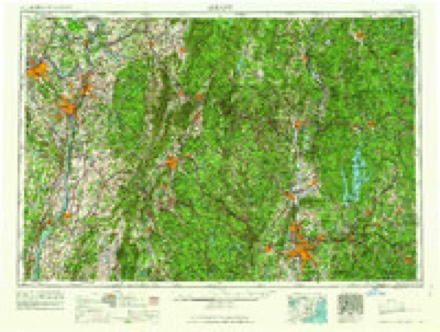
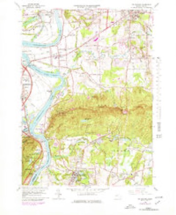
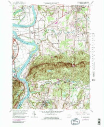
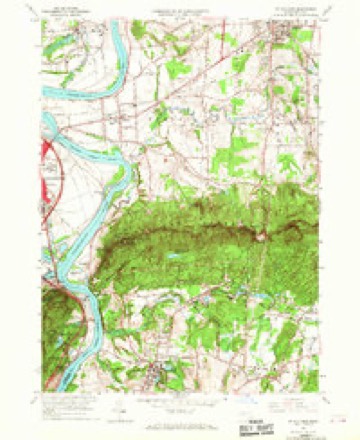
Topographic sheets covering this place
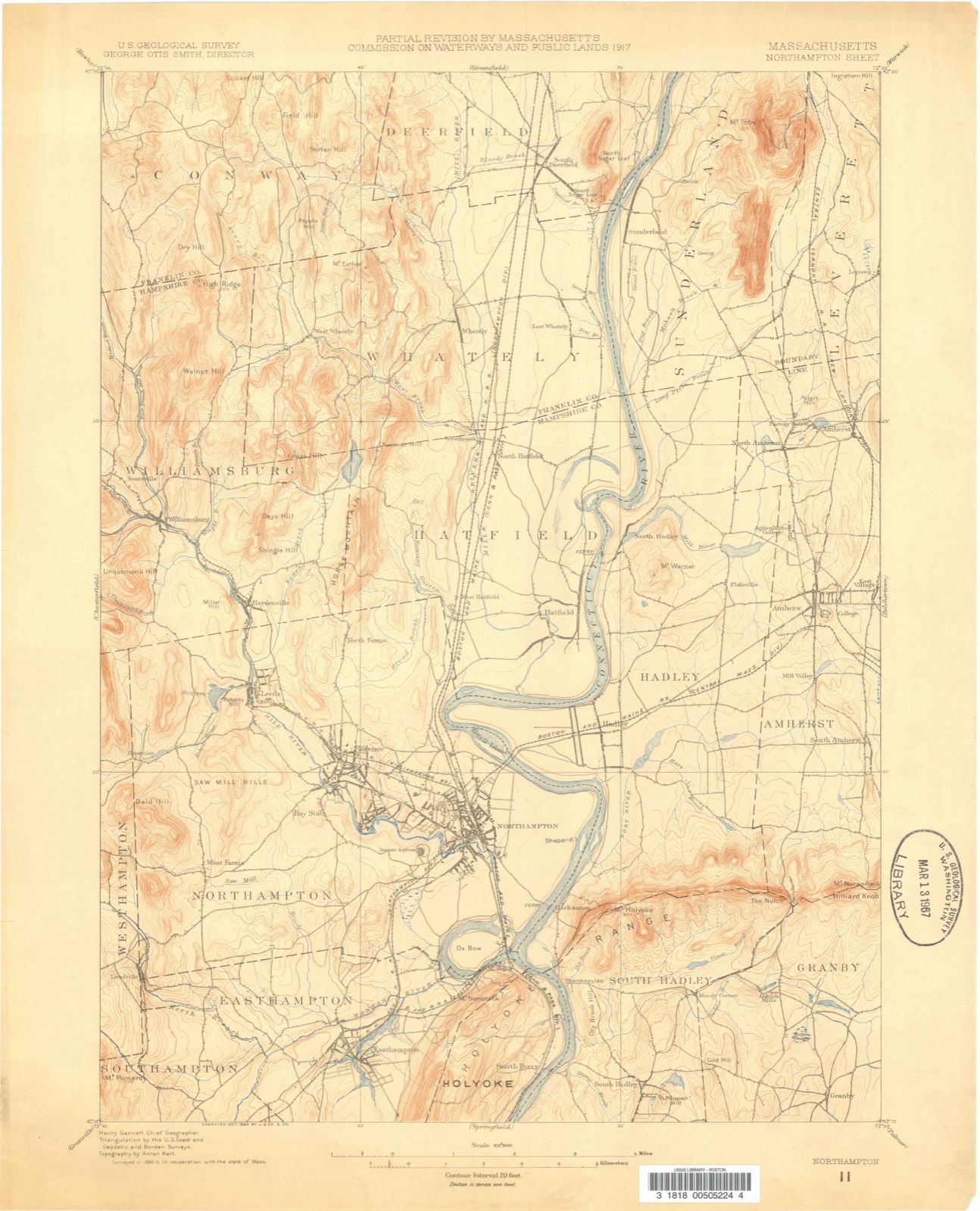
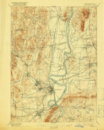
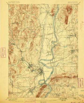
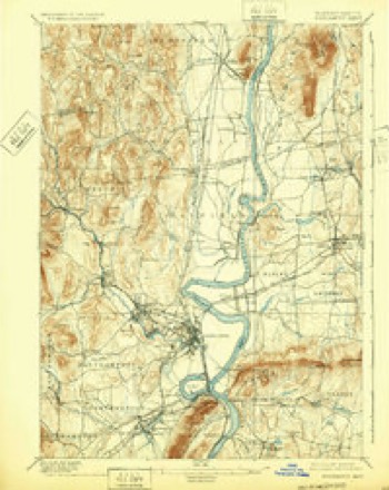
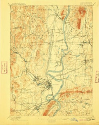
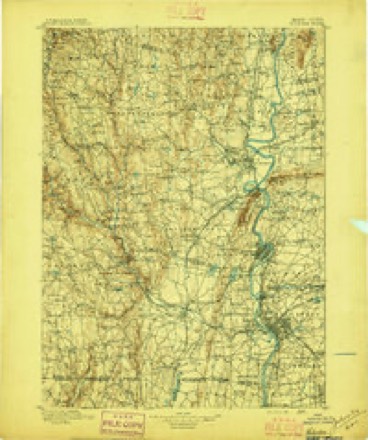
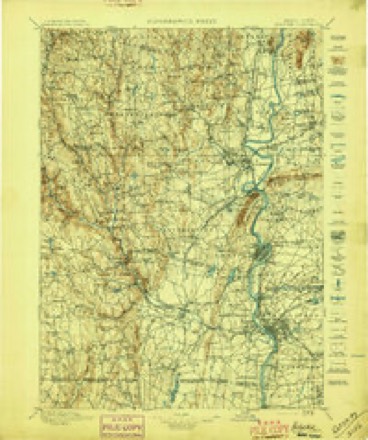
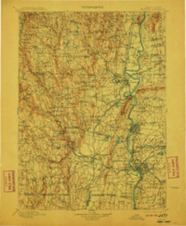
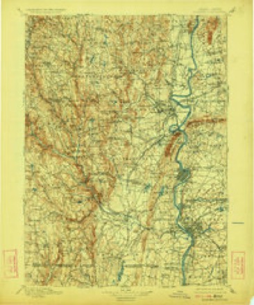
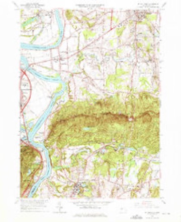
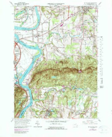
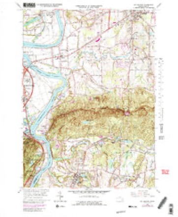
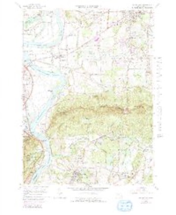
44 sheetsMatched by testing this settlement's coordinate against the published boundary of every sheet in the United States Geological Survey's historical collection. Each opens the scanned sheet at the Survey.
- 1885 USGS Northampton quadrangle1:62500
- 1886 USGS Northampton quadrangle1:62500
- 1891 USGS Northampton quadrangle1:62500
- 1893 USGS Northampton quadrangle1:62500
- 1895 USGS Northampton quadrangle1:62500
- 1895 USGS Northampton quadrangle1:62500
- 1895 USGS Northampton quadrangle1:62500
- 1895 USGS Northampton quadrangle1:62500
- 1895 USGS Northampton quadrangle1:62500
- 1895 USGS Northampton quadrangle1:62500
- 1895 USGS Northampton quadrangle1:62500
- 1895 USGS Northampton quadrangle1:62500
- 1895 USGS Northampton quadrangle1:62500
- 1895 USGS Northampton quadrangle1:62500
- 1896 USGS Holyoke quadrangle1:125000
- 1897 USGS Holyoke quadrangle1:125000
- 1901 USGS Holyoke quadrangle1:125000
- 1901 USGS Holyoke quadrangle1:125000
- 1901 USGS Holyoke quadrangle1:125000
- 1901 USGS Holyoke quadrangle1:125000
- 1935 USGS Mt Holyoke quadrangle1:24000
- 1941 USGS Mt Holyoke quadrangle1:31680
- 1941 USGS Mt Holyoke quadrangle1:31680
- 1941 USGS Mt Holyoke quadrangle1:31680
- 1943 USGS Holyoke quadrangle1:125000
- 1947 USGS Mt Holyoke quadrangle1:24000
- 1947 USGS Mt Holyoke quadrangle1:24000
- 1947 USGS Mt Holyoke quadrangle1:31680
- 1948 USGS Albany quadrangle1:250000
- 1948 USGS Mt Holyoke quadrangle1:25000
- 1956 USGS Albany quadrangle1:250000
- 1956 USGS Albany quadrangle1:250000
- 1957 USGS Albany quadrangle1:250000
- 1959 USGS Albany quadrangle1:250000
- 1962 USGS Albany quadrangle1:250000
- 1964 USGS Mt Holyoke quadrangle1:25000
- 1964 USGS Mt Holyoke quadrangle1:25000
- 1964 USGS Mt Holyoke quadrangle1:24000
- 1964 USGS Mt Holyoke quadrangle1:24000
- 1964 USGS Mt Holyoke quadrangle1:25000
- 1964 USGS Mt Holyoke quadrangle1:25000
- 1964 USGS Mt. Holyoke quadrangle1:25000
- 1985 USGS Holyoke quadrangle1:100000
- 1985 USGS Holyoke quadrangle1:100000
In the county-history sources
4,786 words on this townshipGeology of Old Hampshire County, Massachusetts : Comprising Franklin, Hampshire, and Hampden Counties, published 1898 names this settlement in its chapter on Granby Town. These are the passages that mention it, exactly as the scans read.
About 200 rods north of J. McGrath's this plug occurs, at the eastern terminus of the band of diabase-tuff which crosses the Notch road and enters Granby from the west. This terminus is caused by the intersection of the tuff band by one of the main north-south faults which cross the trap ridge, and the small plug of trap came up just at this crossing. It is only 5 or (J rods in cross-section. The rock is black, fresh, compact, only the larger and earlier generation of feldspars showing as fine lines with a stron"- lens. The few small cavities show a white, compact, fibrous zeolite. Under the microscope the rock shows the usual structure, with. the following ])eeuliarities: The area surrounding the cavities is of much finer "-rain than the remainder. The large feldspars are almost always made up of only two broad individuals. An interstitial groundmass exists in considerable quantity and decomposes to a red-brown mass. The cavities contain (1) calcite, (2) diabantite, (3) wavy interstratifications of diabantite and natrolite, (4) natrolite, (5) a red decomposition product of diabantite. The whole slide is full of the finest feathery groups of magnetite octahedra.
Passage source: Geology of Old Hampshire County, Massachusetts : Comprising Franklin, Hampshire, and Hampden Counties, published 1898.
"Where the Amherst-Granby road passes over the range a single house (C. Harris's) stands on the west side. Eighty rods S. 65° E. of this house, on a wood road at the south foot of a high conglomerate bluff, is a small, nearly circular outcrop of trap with the adjoining sandstone exceptionally altered on the contact. The coaly plant remains which it contains are largely changed into graphite.
Passage source: Geology of Old Hampshire County, Massachusetts : Comprising Franklin, Hampshire, and Hampden Counties, published 1898.
Machine-read from a century-old scan, so expect the errors a machine makes: misspelled names, dropped words, stray characters.
Photographs
1 photograph,Taken for the Office of War Information and the Farm Security Administration, who photographed the country between 1935 and 1944. Works of United States government photographers, with no known restriction on use. Each opens its catalogue record.
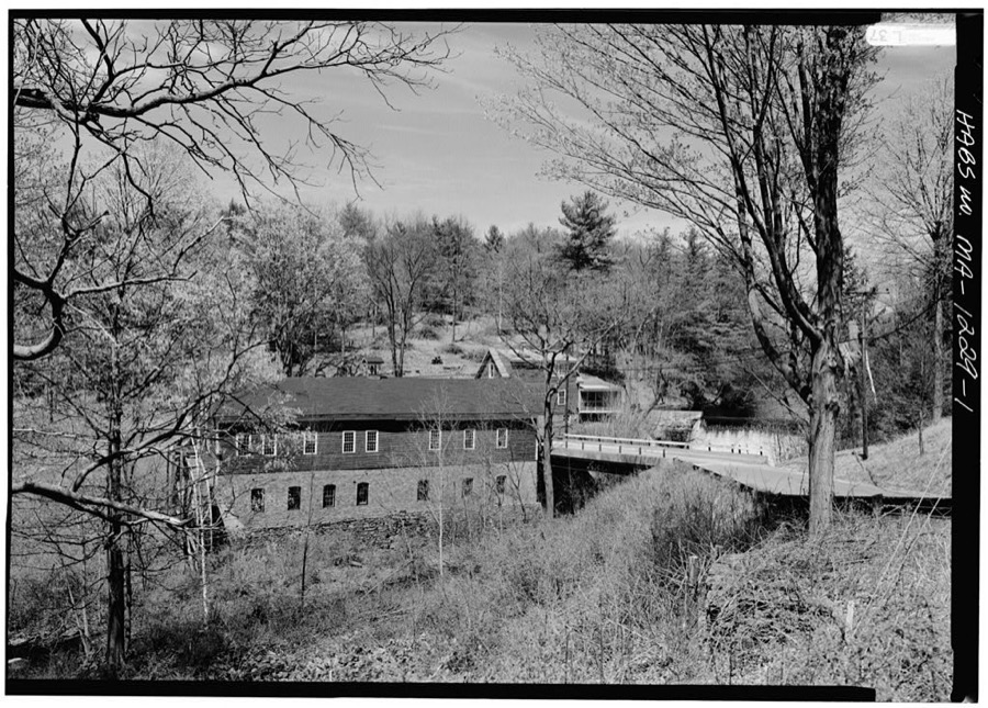
Unattributed, . Library of Congress
Fires near this place
71 since 2001Regional context, not property-specific evidence. The federal wildfire occurrence database lists 71 fires within 5 miles of Granby between 2001 and 2020, burning about 312 acres in total. 5 started naturally. 2 were recorded as arson. Distance is straight-line from the map coordinates, so a fire counted here may appear on a neighbouring settlement's page as well.
| Reported cause | Fires |
|---|---|
| Missing data/not specified/undetermined | 31 |
| Equipment and vehicle use | 20 |
| Debris and open burning | 8 |
| Natural | 5 |
| Recreation and ceremony | 4 |
| Arson/incendiarism | 2 |
| Smoking | 1 |
The most recent of them, most recent first, with the day each was reported and the service that recorded it.
| Date | Cause | Size | Reported by | Name on the report |
|---|---|---|---|---|
| 9 September 2015 | Equipment and vehicle use | under an acre | Massachusetts Bureau of Forest Fire Control | not named |
| 8 September 2015 | Equipment and vehicle use | under an acre | Massachusetts Bureau of Forest Fire Control | not named |
| 6 August 2015 | Equipment and vehicle use | under an acre | Massachusetts Bureau of Forest Fire Control | not named |
| 5 August 2016 | Missing data/not specified/undetermined | under an acre | Massachusetts Bureau of Forest Fire Control | not named |
| 24 August 2015 | Missing data/not specified/undetermined | under an acre | Massachusetts Bureau of Forest Fire Control | not named |
| 20 August 2015 | Natural | under an acre | Massachusetts Bureau of Forest Fire Control | not named |
| 15 August 2015 | Natural | under an acre | Massachusetts Bureau of Forest Fire Control | not named |
| 14 August 2015 | Equipment and vehicle use | under an acre | Massachusetts Bureau of Forest Fire Control | not named |
Settlements close enough to share some of these fires:
Specimens collected near this place
12 of 5,559 shownRegional context, not property-specific evidence. Museums hold 5,559 specimens collected within 10 miles of Granby between 1781 and 1975: 2,576 Plantae, 1,533 Fungi, 1,243 Animalia, 133 Chromista, 64 Protozoa, 9 Unrecorded, 1 Bacteria. 12 distinct Species records are shown. Collected by A. Albee, A. Allen, A. B. Seymour and others. Each is a physical object with a catalogue number, and each entry opens the museum's record. This is what was collected and kept, not a survey of what lives here - nothing can be concluded from a species being absent.
| Image | Species | Year | Collected by | Where, as recorded |
|---|---|---|---|---|
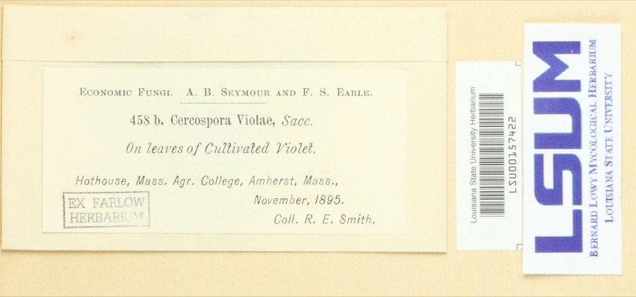 | Cercospora violae Sacc. | 1895 | Ralph E. Smith | Hothouse, Mass. Agr. College, Amherst |
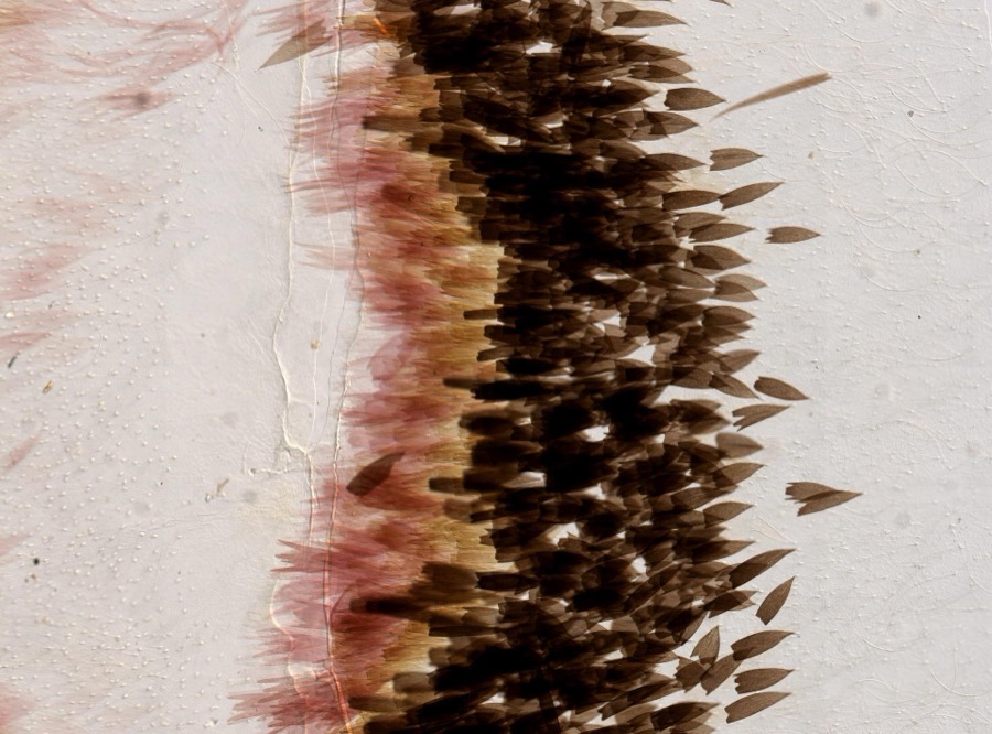 | Actias luna Linnaeus, 1758 | 1896 | not recorded | |
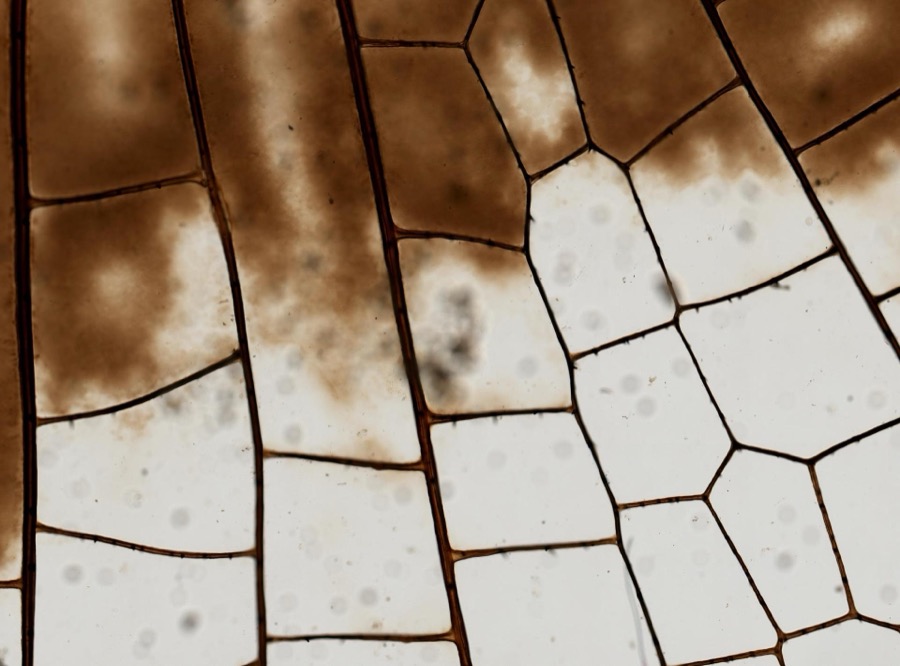 | Plathemis lydia (Drury, 1773) | 1896 | not recorded | |
 | Carex argyrantha Tuck. ex Dewey | 1781 | H. G. Jesup | Amherst in Hampshire Co., and Leverett in Franklin Co., Massachusetts. [Inferred counties from precise loc.] |
 | Carex foenea Willd. | 1781 | H. G. Jesup | And Leverett |
 | Ustilago nuda (C.N.Jensen) Kellerm. & Swingle | 1810 | J.E. Humphrey | |
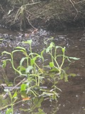 | Ranunculus ambigens S.Watson | 1831 | S. Shurtleff | |
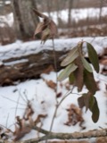 | Kalmia angustifolia f. angustifolia | 1838 | L. DeWette | Northampton. |
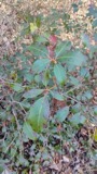 | Kalmia latifolia var. latifolia | 1838 | L. DeWette | Northampton. |
 | Pogonia ophioglossoides (L.) Ker Gawl. | 1838 | L. DeWette | Northampton. |
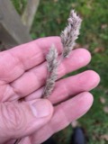 | Dactylis glomerata L. | 1839 | S J Ewer | |
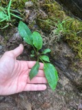 | Solidago arguta Aiton | 1841 | Collector(s): Henry Holmes Babcock, Henry Griswold Jesup | Amherst |
All 5,559 specimens within 10 miles, at the Global Biodiversity Information Facility.
Mines and quarries near this place
10 of 13 shownRegional context, not property-specific evidence. The federal mineral resources record lists 13 workings within 5 miles of Granby: 8 producers, 4 past producers, 1 unknown. 8 still produce. What was taken out: Sand and Gravel, Construction, Stone, Crushed/Broken, Stone, Dimension, Flagstone. Distance is straight-line from the map coordinates, so a quarry counted here may appear on a neighbouring settlement's page as well.
| Where | Site | Commodity | Status | Recorded |
|---|---|---|---|---|
| Clay Pit | Brick Clay | Producer | Clay | |
| Clay Pit | Clay | Past Producer | ||
| Sandstone Quarry | Stone, Dimension | Producer | Sandstone | |
| Sandstone Quarry | Stone, Dimension | Producer | Sandstone | |
| Sandstone Quarry | Flagstone | Past Producer | ||
| Sandstone Quarry | Flagstone | Past Producer | ||
| Amherst Plant No. 5 | Stone, Crushed/Broken | Producer | ||
| Amherst Quarry Plant#5 | Stone, Crushed/Broken | Unknown | ||
| Granby Pit Ii | Stone, Crushed/Broken | Producer | ||
| Cheniers Gravel Bank | Sand and Gravel, Construction | Past Producer | Sedimentary |
Storms near this place
16 since 1995Regional context, not property-specific evidence. The National Weather Service names Granby in 16 storm reports between 1995 and 2024: 7 hail, 5 thunderstorm wind, 1 lightning, 1 flash flood. The reports record 3 injuries. Each account below is quoted exactly as the forecast office filed it, from the NOAA Storm Events Database, and each date opens the federal record of that event.
| When | Event | Place named | Harm | What the report says |
|---|---|---|---|---|
| May 2013 | Lightning | Granby | 3 hurt | Three students at the MacDuffie School in Granby were struck by lightning while sitting outside at a picnic table. Two students were knocked unconscious and were hospitalized. The third student was further away when the lightning struck and was not directly hit, suffering less serious effects. The students were 16, 17, and 20 years of age. All of the students reovered from their injuries. |
| September 2016 | Thunderstorm Wind | Granby | $5,000 | Large branches were downed by thunderstorm winds. |
| July 2008 | Thunderstorm Wind | Granby | $5,000 | Trees three feet in diameter were downed by thunderstorm winds. |
| July 2022 | Thunderstorm Wind | Granby | $4,000 | In Granby, multiple trees were down on South Street; a tree was down on East Street; a tree was down on State Street; and a tree was down on Route 202 at Kendall Street. |
| July 2020 | Thunderstorm Wind | Granby | $2,500 | In Granby there were large trees down on East Street at Sherwood Drive. Media reported a tree down on New Ludlow Road. Two trees were down on South Street. |
| July 2024 | Hail | Granby | - | In Granby quarter sized hail was reported. |
| July 2024 | Hail | Granby | - | In Granby, hail 3/4 of an inch in diameter fell. |
| July 2024 | Hail | Granby | - | In Granby, hail 3/4 of an inch in diameter fell. |
| April 2021 | Hail | Granby | - | In Granby dime size hail was reported. |
| June 2018 | Funnel Cloud | Granby | - | At 4:52 PM EST, a funnel cloud was sighted at Granby. Multiple videos later confirmed rotation in the funnel cloud. |
| May 2017 | Hail | Granby | - | At 611 PM EST, dime size hail was reported at Granby. |
| October 2017 | Flood | Granby | - | Flooding in Granby on Batchelor, Porter, and Amherst Streets. |
| August 2013 | Flash Flood | Granby | - | Numerous roads throughout town were closed due to flooding. |
| March 2012 | Hail | Granby | - | Penny to nickel size hail fell in Granby. |
| July 1995 | Thunderstorm Wind | Granby | - | Several trees and wires were reported blown down. |
| June 2001 | Hail | Granby | - | no account filed |
Nearest settlements
The eight closest, with where each one stands in the county. Distances are straight-line, computed from the Geographic Names Information System coordinates.
| Map | Place | Distance | Sheets |
|---|---|---|---|
| Aldrich Mills | 2.1 miles | 44 | |
| Moody Corner | 2.8 miles | 44 | |
| Cooks Corner | 2.8 miles | 32 | |
| South Hadley | 3.1 miles | 44 | |
| Thermopylae | 4.8 miles | 44 | |
| South Hadley Falls | 5.2 miles | 44 | |
| Great Swamp | 5.2 miles | 44 | |
| Hockanum | 5.3 miles | 44 |
Elsewhere
Matched on this settlement's Geographic Names Information System number rather than its name, so it cannot be a different place of the same name in another state.
| Wikipedia article on Granby | An encyclopaedic summary. Its text is share-alike, so it is linked here rather than copied. |
| Wikidata item Q5594174 | The structured record the population and elevation above come from. Public domain (CC0). |
Provenance
This settlement is recorded in the Geographic Names Information System as feature 609013. The sheet list is computed by point-in-boundary test against the United States Geological Survey's historical topographic inventory. Both are works of the United States government and carry no copyright under 17 U.S.C. 105.
Wildfire. Short, Karen C. 2022. Spatial wildfire occurrence data for the United States, 1992-2020 [FPA_FOD_20221014]. 6th Edition. Fort Collins, CO: Forest Service Research Data Archive. https://doi.org/10.2737/RDS-2013-0009.6 Collected with United States Government funding and usable without additional permissions or fees.
Specimens. Global Biodiversity Information Facility (GBIF), https://www.gbif.org/. Only records licensed CC0 or CC BY are used. Records licensed CC BY-NC are excluded because this site carries advertising. Images are checked individually and any whose licence is non-commercial, no-derivatives or unreadable is refused.
Mines and quarries. USGS Mineral Resources Data System (MRDS) https://mrdata.usgs.gov/mrds/ A work of the United States government, no copyright under 17 U.S.C. 105.
Storms. NOAA National Centers for Environmental Information, Storm Events Database https://www.ncei.noaa.gov/stormevents/ A work of the United States government, no copyright under 17 U.S.C. 105. Narratives are quoted verbatim from the National Weather Service report and are not edited or summarised.