 Block
Block
Hanover, Ohio
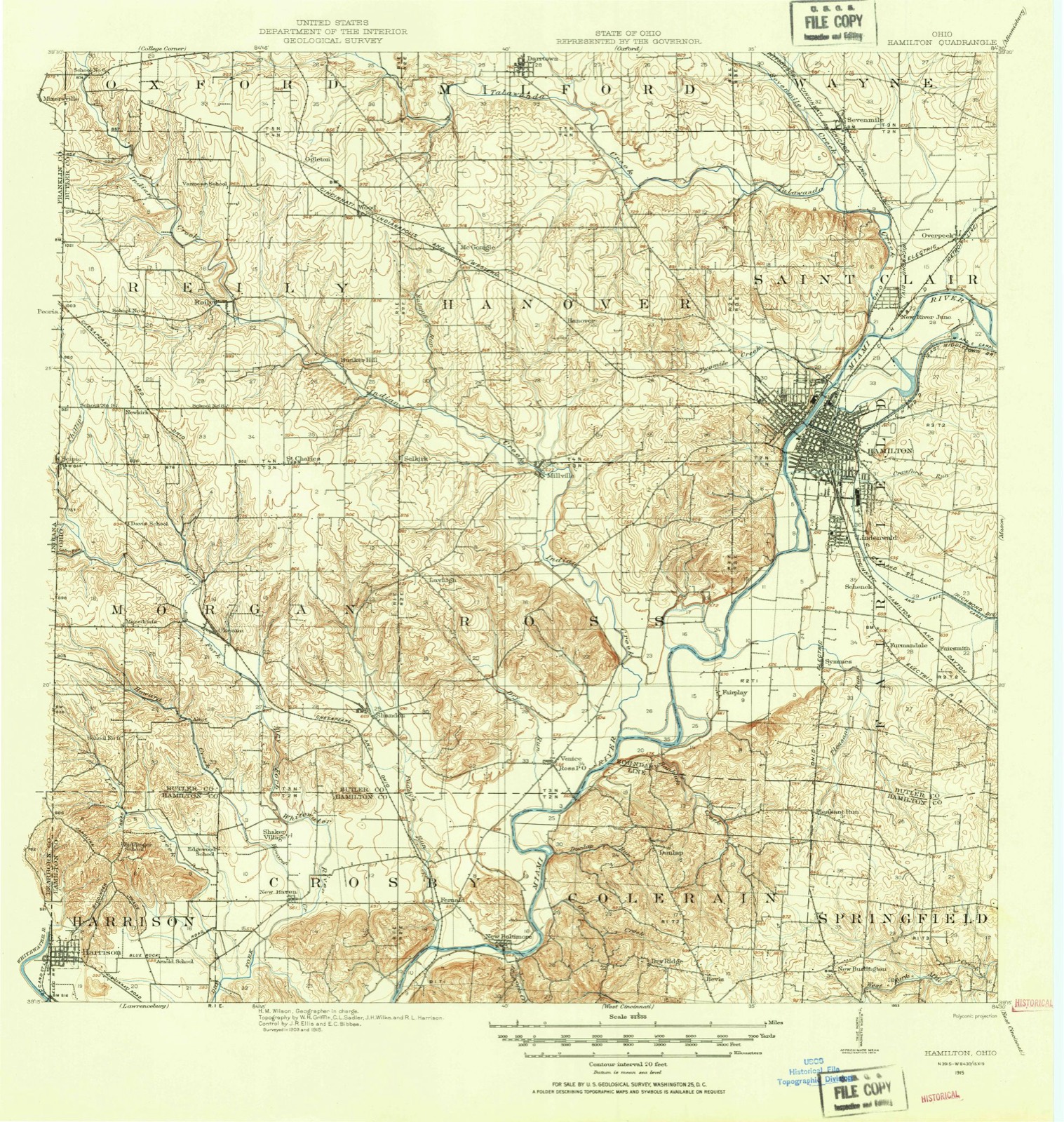
14 topographic sheets cover this place, the earliest surveyed in 1915 and the latest in 1986. It stands in Hanover Township. It lies in ZIP code area 45013. The Survey maps it on the Millville quadrangle. The federal gazetteer marks this settlement historical: it is no longer a populated place, though the surveys that recorded it still are.
Then and now
1915 to 1986The same ground, surveyed 71 years apart. Drag the handle to wipe between them. Both sheets are United States Geological Survey originals; neither has been altered.

Topographic sheets covering this place
14 sheetsMatched by testing this settlement's coordinate against the published boundary of every sheet in the United States Geological Survey's historical collection. Each opens the scanned sheet at the Survey.
- 1915 USGS Hamilton quadrangle1:62500
- 1915 USGS Hamilton quadrangle1:62500
- 1917 USGS Hamilton quadrangle1:62500
- 1953 USGS Cincinnati quadrangle1:250000
- 1953 USGS Cincinnati quadrangle1:250000
- 1953 USGS Cincinnati quadrangle1:250000
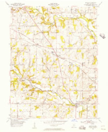
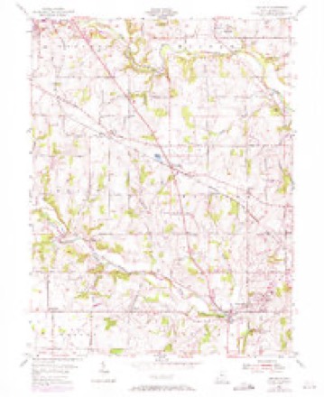
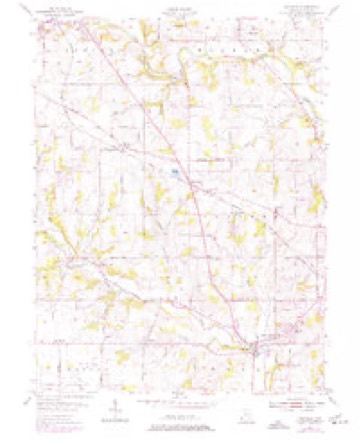
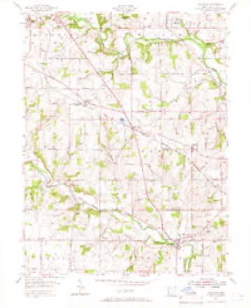
- 1955 USGS Millville quadrangle1:24000
- 1955 USGS Millville quadrangle1:24000
- 1955 USGS Millville quadrangle1:24000
- 1955 USGS Millville quadrangle1:24000
- 1957 USGS Cincinnati quadrangle1:250000
- 1986 USGS Cincinnati quadrangle1:100000
- 1986 USGS Cincinnati quadrangle1:100000
- 1986 USGS Cincinnati quadrangle1:100000







What happened here
An account from the chapter on Hanover township, The inset identifies its exact source book and publication year.
Encouragement To Enlist
To every able-bodied man, l'rom the age of eighteen to forty-five years, who wishes to enlist in defense of the honor and independence of their country for the term of live wars, will be paid; and whenever be shall have served the -aid term, or obtained an honorable discharge stating the faithful performance of Ids duty while in service, he shall be paid three months' extra pay, and and in case he should be killed in action, or die in the service.
In the county-history sources
446,593 words on this townshipA History and Biographical Cyclopaedia of Butler County, Ohio, with Illustrations and Sketches of Its Representative Men and Pioneers, published 1882 names this settlement in its chapter on Hanover Township. These are the passages that mention it, exactly as the scans read.
At the meeting of the Board of Commissioners December 2, 1811, William Robison, John Wingate, and James j Blackburn being present, on petition of the. inhabitants j of Reily and St. Clair Townships, it was "ordered, that j so much of the said townships as lies within the following j boundaries, to wit: Beginning at the southeast corner of | the surveyed township "Mo. 4 in the second range east of j the meridian line drawn from the mouth of the Great j Miami River; thence north to the northeast corner of | the same township; thence west to the northwest corner j thereof; thence south to the southwest corner thereof ; j thence east to the place of beginning, - si all compose a j township which shall be known and designated by the i name of Hanover Township." Election to be held at the j house c+' Aaron Saeket on the 21st day of December, j 1811, for the election of officers.
Passage source: A History and Biographical Cyclopaedia of Butler County, Ohio, with Illustrations and Sketches of Its Representative Men and Pioneers, published 1882.
In the year 1809 Mr. Reily removed his office to the south room of his private residence, which he had erected, and just then completed, on lot No. 99, on the east of the public square, where he kept his office until the year 1 1824, when, the present brick offices on the public square | having been built by the county and completed ready for j the accommodation of the offices, Mr. Polly removed his | office to that building.
Passage source: A History and Biographical Cyclopaedia of Butler County, Ohio, with Illustrations and Sketches of Its Representative Men and Pioneers, published 1882.
On the thirtieth day of September, 1805, Ezekiel Ball, Matthew Richardson, and Solomon Line, commissioners of the county of Butler, made a contract with John Torrence and John Wingate to furnish the materials and build a jail for the county on the south side of the public square. The building was to be of stone, thirtythree feet by twenty-two, two stories high, and to be erected and inclosed by the first day of September, 1808, for the sum of SI, GOO. The contractors erected and in- ! closed the building, according to their agreement, by the I Full of 1808.
Passage source: A History and Biographical Cyclopaedia of Butler County, Ohio, with Illustrations and Sketches of Its Representative Men and Pioneers, published 1882.
Machine-read from a century-old scan, so expect the errors a machine makes: misspelled names, dropped words, stray characters.
Read the whole chapter on Hanover Township - it names this place 30 more 30 times.
Specimens collected near this place
12 of 1,873 shownRegional context, not property-specific evidence. Museums hold 1,873 specimens collected within 10 miles of Hanover (historical) between 1835 and 1975: 874 Animalia, 761 Fungi, 167 Plantae, 57 Protozoa, 13 Unrecorded, 1 Chromista. 12 distinct Species records are shown. Collected by A. R. Gaufin, A. V. J.; W. G. S., A.R. Gaufin, H.H. Ross and others. Each is a physical object with a catalogue number, and each entry opens the museum's record. This is what was collected and kept, not a survey of what lives here - nothing can be concluded from a species being absent.
| Image | Species | Year | Collected by | Where, as recorded |
|---|---|---|---|---|
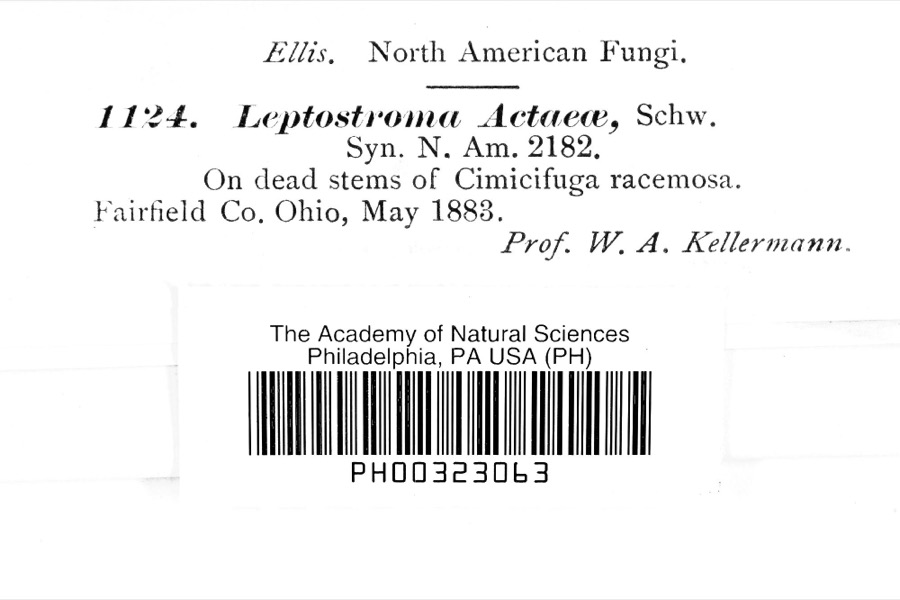 | Leptostromataceae | 1883 | Prof. W. A. Kellerman | |
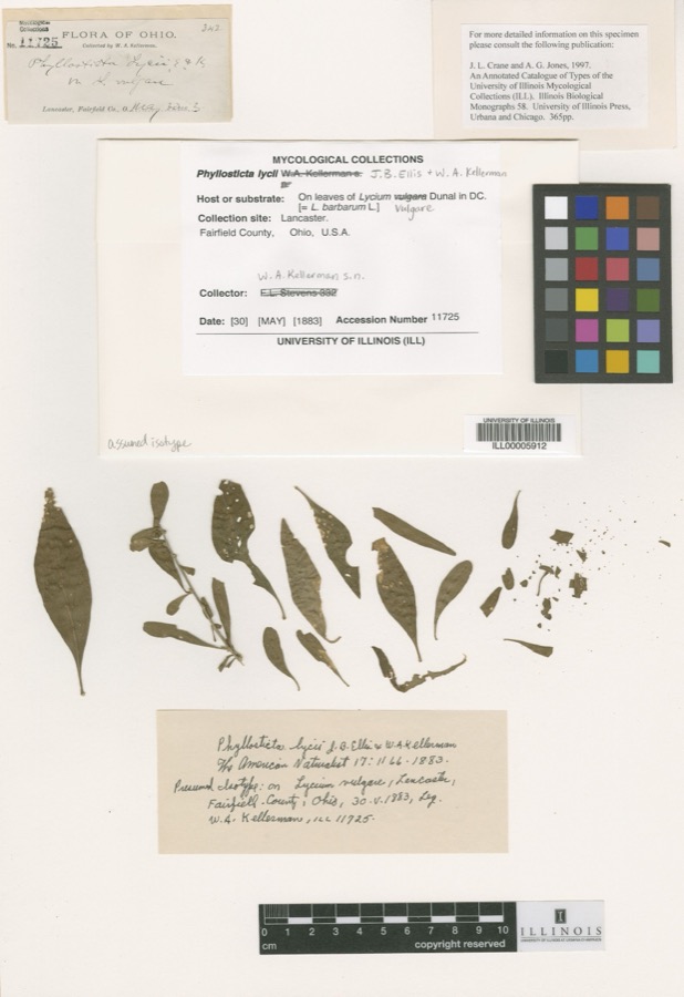 | Phyllosticta Pers., 1818 | 1883 | W. A. Kellerman | Lancaster. |
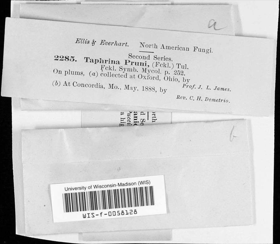 | Taphrina communis (Sadeb.) Giesenh. | 1888 | J. L. James | |
 | Carex careyana Torr. ex Dewey | 1835 | Collector unknown | In ditione "Miami" civitatis Ohio. |
| Carex convoluta Mack. | 1835 | Collector unspecified | "Miami" | |
 | Carex gracillima Schwein. | 1835 | B. Frank | In ditione "Miami" civitatis Ohio. |
 | Spiza americana (J.F.Gmelin, 1789) | 1879 | Porter, J.B. | |
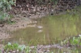 | Tringa solitaria A.Wilson, 1813 | 1879 | Porter collection, J.B. | |
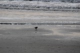 | Charadrius semipalmatus Bonaparte, 1825 | 1880 | not recorded | |
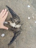 | Chlidonias niger (Linnaeus, 1758) | 1880 | Porter collection, J.B. | |
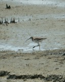 | Tringa melanoleuca (J.F.Gmelin, 1789) | 1880 | Porter collection, J.B. | |
 | Gavia immer (Brunnich, 1764) | 1881 | Porter, J.B. |
All 1,873 specimens within 10 miles, at the Global Biodiversity Information Facility.
Mines and quarries near this place
3 within 5 milesRegional context, not property-specific evidence. The federal mineral resources record lists 3 workings within 5 miles of Hanover (historical): 2 unknowns, 1 past producer. None of them still produces. What was taken out: Sand and Gravel, Construction, Iron. Distance is straight-line from the map coordinates, so a quarry counted here may appear on a neighbouring settlement's page as well.
| Where | Site | Commodity | Status | Recorded |
|---|---|---|---|---|
| Armco Inc/ Hamilton, Ohio | Iron | Unknown | ||
| American Materials/ Hamilton, Ohio | Sand and Gravel, Construction | Unknown | ||
| Watson Pit | Sand and Gravel, Construction | Past Producer | Sedimentary |
Nearest settlements
The eight closest, with where each one stands in the county. Distances are straight-line, computed from the Geographic Names Information System coordinates.
| Map | Place | Distance | Sheets |
|---|---|---|---|
| Alamo Heights | 1.6 miles | 15 | |
| McGonigle | 2.3 miles | 14 | |
| Queen Acres | 2.3 miles | 14 | |
| Brookwood | 2.7 miles | 15 | |
| Millville | 2.7 miles | 14 | |
| Edgewood | 3.3 miles | 15 | |
| Carmen Place | 3.4 miles | 15 | |
| Highland Park | 3.7 miles | 15 |
Provenance
This settlement is recorded in the Geographic Names Information System as feature 1065562. The sheet list is computed by point-in-boundary test against the United States Geological Survey's historical topographic inventory. Both are works of the United States government and carry no copyright under 17 U.S.C. 105.
Specimens. Global Biodiversity Information Facility (GBIF), https://www.gbif.org/. Only records licensed CC0 or CC BY are used. Records licensed CC BY-NC are excluded because this site carries advertising. Images are checked individually and any whose licence is non-commercial, no-derivatives or unreadable is refused.
Mines and quarries. USGS Mineral Resources Data System (MRDS) https://mrdata.usgs.gov/mrds/ A work of the United States government, no copyright under 17 U.S.C. 105.