 Block
Block
Millville, Ohio
14 topographic sheets cover this place, the earliest surveyed in 1915 and the latest in 1986. It stands in Ross Township. It lies in ZIP code area 45013. It stands on Beals Run. The Survey maps it on the Millville quadrangle. 634 people lived here at the 2020 count. It stands 620 feet above sea level.
Population over time
2 figuresMillville fell from 708 to 634 between 2010 and 2020. These are the recorded population figures Wikidata holds for this place, reached through the Geographic Names Information System number this page is keyed on rather than by name, so they belong to this place and not to another of the same name. Most are census counts, but not all are: an early figure may be a founding or settlement estimate. The change column is computed, and is left blank where more than 20 years separate a figure from the one before it, because a gap that long is not a change between two counts.
| Year | People | Change |
|---|---|---|
| 2010 | 708 | |
| 2020 | 634 | -74 (-10%) |
Then and now
1915 to 1986The same ground, surveyed 71 years apart. Drag the handle to wipe between them. Both sheets are United States Geological Survey originals; neither has been altered.

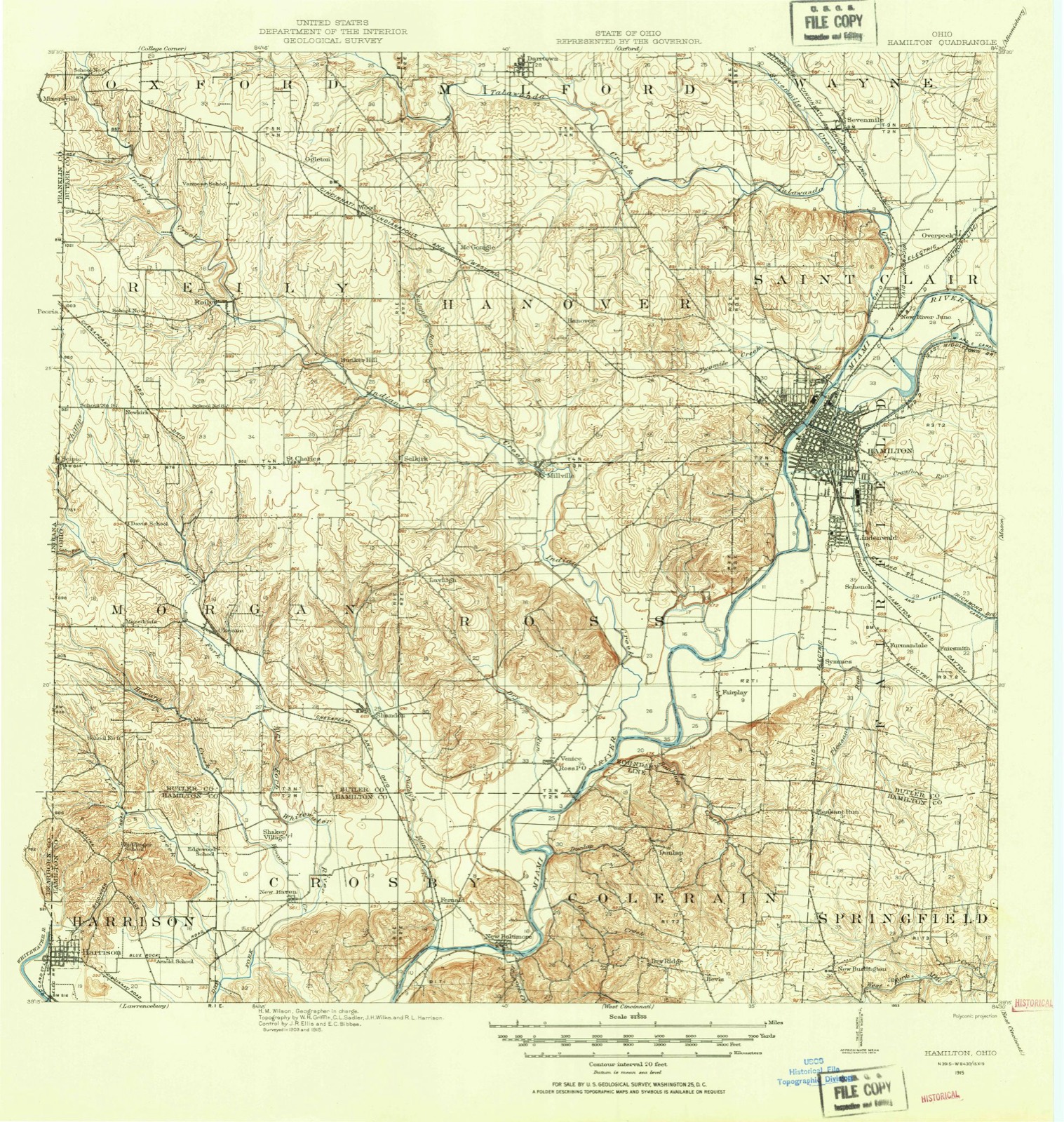
Topographic sheets covering this place
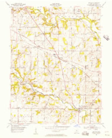
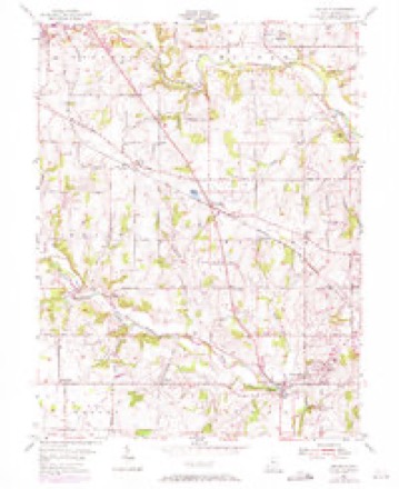
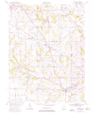
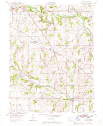
14 sheetsMatched by testing this settlement's coordinate against the published boundary of every sheet in the United States Geological Survey's historical collection. Each opens the scanned sheet at the Survey.
- 1915 USGS Hamilton quadrangle1:62500
- 1915 USGS Hamilton quadrangle1:62500
- 1917 USGS Hamilton quadrangle1:62500
- 1953 USGS Cincinnati quadrangle1:250000
- 1953 USGS Cincinnati quadrangle1:250000
- 1953 USGS Cincinnati quadrangle1:250000
- 1955 USGS Millville quadrangle1:24000
- 1955 USGS Millville quadrangle1:24000
- 1955 USGS Millville quadrangle1:24000
- 1955 USGS Millville quadrangle1:24000
- 1957 USGS Cincinnati quadrangle1:250000
- 1986 USGS Cincinnati quadrangle1:100000
- 1986 USGS Cincinnati quadrangle1:100000
- 1986 USGS Cincinnati quadrangle1:100000







In the county-history sources
25,952 words on this townshipThe Mound Builders : Being an Account of a Remarkable People That Once Inhabited the Valleys of the Ohio and Mississippi, Together with an Investigation Into the Archæology of Butler County, O., published 1879 names this settlement in its chapter on Ross Township. These are the passages that mention it, exactly as the scans read.
The work given in Fig. 55, marked IS" on the map, is now almost wholly obliterated. It was situated on sections twenty-seven and thirty-four, on the farms of B. T. Bedinger, M. A. Carnaham andR. Wade. It was surveyed in 1847 by James McBride and John W. Erwin. They describe it to have been a perfect circle, enclosing an area of twenty-six acres. The embankment was two feet high, composed of earth taken up evenly from the surface, or else brought from a distance. There was an entrance to the west two hundred and seventyfive feet wide, and upon either hand the embankment terminated in a small mound, between four and five feet high. At the eastern part of the wall was a gatcAvay, the width of which is not given. The plain upon which the work occurs is about fifty feet above the adjacent bottoms. The area of the enclosure is level, and was covered with forest trees, although small, owing to the nature of the soil, which is thin and gravelly.
Passage source: The Mound Builders : Being an Account of a Remarkable People That Once Inhabited the Valleys of the Ohio and Mississippi, Together with an Investigation Into the Archæology of Butler County, O., published 1879.
The mound towards the north, with one hundred and fifty feet of its accompanying embankment, still remain.-; in a grove. The rest is obliterated, owing to the forest having been cleared away and the land cultivated.
Passage source: The Mound Builders : Being an Account of a Remarkable People That Once Inhabited the Valleys of the Ohio and Mississippi, Together with an Investigation Into the Archæology of Butler County, O., published 1879.
Between this work and the one last described, Mr. Erwin states, there is or was another, but the location has passed out of his memory. It was similar, in construction, to that near Jones^ Station. In the hopes of finding it I visited the locality on the eleventh of August. I made diligent inquiry of the people in the neighborhood, among whom was Judge Fergus Anderson, but he knew nothing of it. It is probable that the w^alls were low and long since plowed down, and as no particular interest is taken in that immediate vicinity in archseology, such a matter would easily pass out of recollection.
Passage source: The Mound Builders : Being an Account of a Remarkable People That Once Inhabited the Valleys of the Ohio and Mississippi, Together with an Investigation Into the Archæology of Butler County, O., published 1879.
Machine-read from a century-old scan, so expect the errors a machine makes: misspelled names, dropped words, stray characters.
Read the whole chapter on Ross Township - it names this place 28 more 28 times.
Specimens collected near this place
12 of 1,851 shownRegional context, not property-specific evidence. Museums hold 1,851 specimens collected within 10 miles of Millville between 1835 and 1975: 870 Animalia, 759 Fungi, 151 Plantae, 57 Protozoa, 13 Unrecorded, 1 Chromista. 12 distinct Species records are shown. Collected by A. R. Gaufin, A. V. J.; W. G. S., A.R. Gaufin, H.H. Ross and others. Each is a physical object with a catalogue number, and each entry opens the museum's record. This is what was collected and kept, not a survey of what lives here - nothing can be concluded from a species being absent.
| Image | Species | Year | Collected by | Where, as recorded |
|---|---|---|---|---|
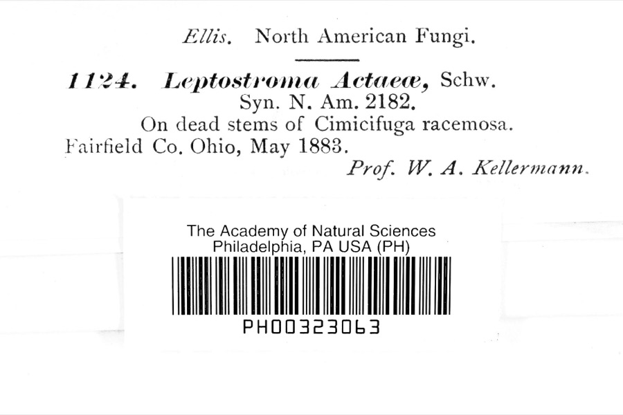 | Leptostromataceae | 1883 | Prof. W. A. Kellerman | |
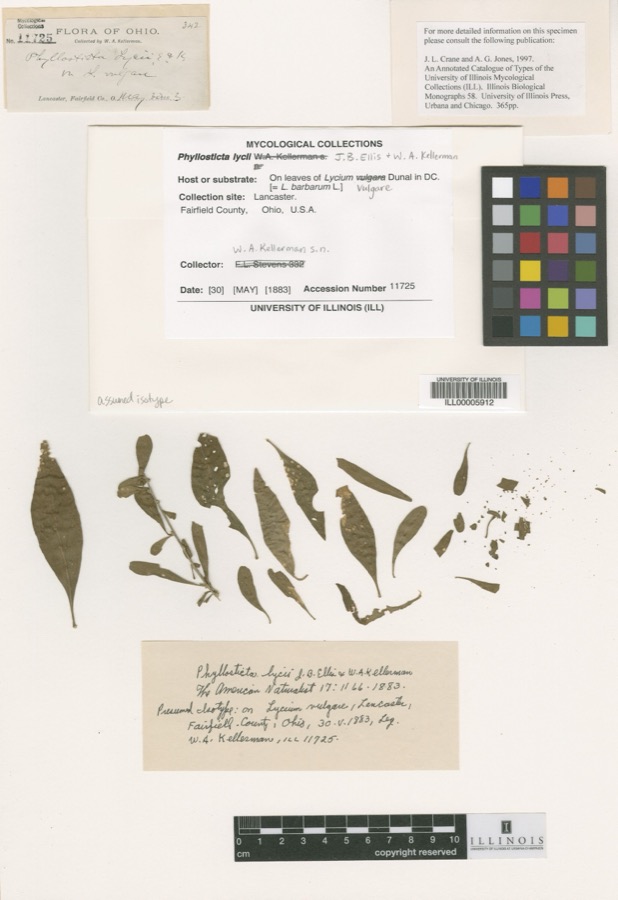 | Phyllosticta Pers., 1818 | 1883 | W. A. Kellerman | Lancaster. |
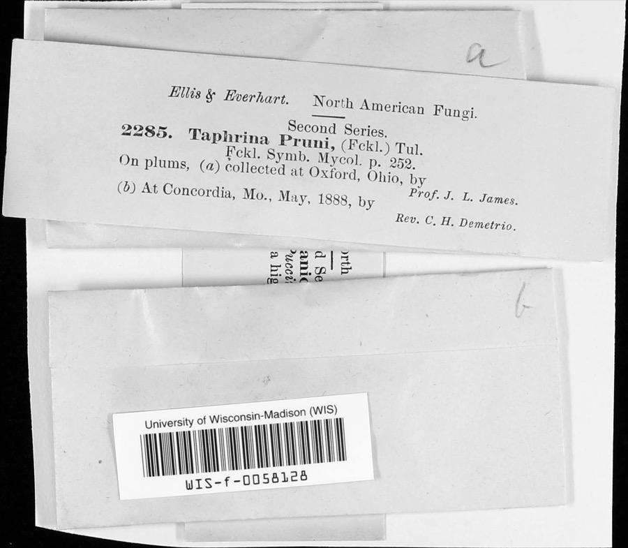 | Taphrina communis (Sadeb.) Giesenh. | 1888 | J. L. James | |
 | Carex careyana Torr. ex Dewey | 1835 | Collector unknown | In ditione "Miami" civitatis Ohio. |
| Carex convoluta Mack. | 1835 | Collector unspecified | "Miami" | |
 | Carex gracillima Schwein. | 1835 | B. Frank | In ditione "Miami" civitatis Ohio. |
 | Calidris melanotos (Vieillot, 1819) | 1879 | W. Douglass | Jones Station |
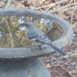 | Mimus polyglottos (Linnaeus, 1758) | 1879 | Porter collection, J.B. | LOCNM: Jones |
 | Spiza americana (J.F.Gmelin, 1789) | 1879 | Porter, J.B. | |
 | Tringa flavipes (J.F.Gmelin, 1789) | 1879 | Porter collection, J.B. | LOCNM: Jones |
 | Tringa solitaria A.Wilson, 1813 | 1879 | Porter collection, J.B. | |
 | Bartramia longicauda (Bechstein, 1812) | 1880 | Porter collection, J.B. | LOCNM: Jones Station |
All 1,851 specimens within 10 miles, at the Global Biodiversity Information Facility.
Mines and quarries near this place
10 of 12 shownRegional context, not property-specific evidence. The federal mineral resources record lists 12 workings within 5 miles of Millville: 5 producers, 4 past producers, 2 unknowns, 1 plant. 6 still produce. What was taken out: Sand and Gravel, Construction, Iron. Distance is straight-line from the map coordinates, so a quarry counted here may appear on a neighbouring settlement's page as well.
| Where | Site | Commodity | Status | Recorded |
|---|---|---|---|---|
| Armco Inc/ Hamilton, Ohio | Iron | Unknown | ||
| American Materials/ Hamilton, Ohio | Sand and Gravel, Construction | Unknown | ||
| Hilltop Pit | Sand and Gravel, Construction | Producer | ||
| Indian Creek Pit | Sand and Gravel, Construction | Past Producer | Sedimentary | |
| Indian Creek Sand & Gravel Pit | Sand and Gravel, Construction | Producer | ||
| Ross Plant | Sand and Gravel, Construction | Producer | ||
| Ross Plant Number 15 and Pit | Sand and Gravel, Construction | Past Producer | Sedimentary | |
| Schlichter Pit | Sand and Gravel, Construction | Past Producer | Sedimentary | |
| Schlichter Pit | Sand and Gravel, Construction | Plant | ||
| Symmes Pit | Sand and Gravel, Construction | Producer |
Storms near this place
15 since 1993Regional context, not property-specific evidence. The National Weather Service names Millville in 15 storm reports between 1993 and 2026: 6 flash flood, 4 thunderstorm wind, 2 hail, 2 flood. The reports record 1 injury. Each account below is quoted exactly as the forecast office filed it, from the NOAA Storm Events Database, and each date opens the federal record of that event.
| When | Event | Place named | Harm | What the report says |
|---|---|---|---|---|
| March 1997 | Thunderstorm Wind | Millville | 1 hurt, $10,000 | no account filed |
| March 2026 | Flash Flood | Millville | $50,000 | Beals Run was out of its banks with several inches of moving water impacting the first floor of businesses and homes on Millville Avenue. |
| June 2022 | Thunderstorm Wind | Millville | $50,000 | A large tree fell through the top of a park building, causing significant damage. |
| March 2026 | Flood | Millville | $25,000 | Over a foot of standing water inundated at least eleven cars at a local car dealer and portions of the corner gas station. Several homes also had water over their porches, up to their front doors. |
| March 2026 | Flash Flood | Millville | $20,000 | Indian Creek came out of its banks and inundated the basement and first floor of a home near the intersection of Walnut Street and Ross Hanover Road. A swift water rescue was needed to remove the family from the home. |
| March 2008 | Flash Flood | Millville | $15,000 | Several properties were inundated with high water in New Miami. Homes were evacuated along Warwick Road just north of the city of Hamilton. Several roads were flooded throughout the area. |
| June 2003 | Flash Flood | Millville | $10,000 | US Route 27 and State Route 128 flooded and closed between Millville and Ross. High water caused minor damage to a nearby outdoor bar. A car fell into a flooded drainage ditch in the bar parking lot. |
| April 1993 | Hail | Millville | $5,000 | no account filed |
| August 2016 | Thunderstorm Wind | Millville | $2,000 | A few trees were reported knocked down in Ross Township. |
| September 2018 | Thunderstorm Wind | Millville | $1,000 | A tree was downed. |
| March 2026 | Flash Flood | Millville | - | High water was reported over several roadways and was approaching structures in Millville. |
| June 2025 | Flood | Millville | - | High water was reported on Ross Hanover Road near Columbus Drive. |
| April 2018 | Flash Flood | Millville | - | U.S. 27 was closed in both directions between Kirchling and Millville Roads due to high water. |
| July 2013 | Heavy Rain | Millville | - | High water ponded in a low lying spot on Smalley Boulevard due to heavy rainfall. |
| May 1996 | Hail | Millville | - | no account filed |
Nearest settlements
The eight closest, with where each one stands in the county. Distances are straight-line, computed from the Geographic Names Information System coordinates.
| Map | Place | Distance | Sheets |
|---|---|---|---|
| Queen Acres | 0.9 miles | 14 | |
| Auburn | 2.5 miles | 14 | |
| Alamo Heights | 2.6 miles | 15 | |
| Hanover (historical) | 2.7 miles | 14 | |
| Layhigh | 2.9 miles | 14 | |
| Brookwood | 3.7 miles | 15 | |
| Edgewood | 3.8 miles | 15 | |
| Columbia Heights | 3.8 miles | 15 |
Elsewhere
Matched on this settlement's Geographic Names Information System number rather than its name, so it cannot be a different place of the same name in another state.
| Wikipedia article on Millville | An encyclopaedic summary. Its text is share-alike, so it is linked here rather than copied. |
| Wikidata item Q2517278 | The structured record the population and elevation above come from. Public domain (CC0). |
Provenance
This settlement is recorded in the Geographic Names Information System as feature 1061526. The sheet list is computed by point-in-boundary test against the United States Geological Survey's historical topographic inventory. Both are works of the United States government and carry no copyright under 17 U.S.C. 105.
Specimens. Global Biodiversity Information Facility (GBIF), https://www.gbif.org/. Only records licensed CC0 or CC BY are used. Records licensed CC BY-NC are excluded because this site carries advertising. Images are checked individually and any whose licence is non-commercial, no-derivatives or unreadable is refused.
Mines and quarries. USGS Mineral Resources Data System (MRDS) https://mrdata.usgs.gov/mrds/ A work of the United States government, no copyright under 17 U.S.C. 105.
Storms. NOAA National Centers for Environmental Information, Storm Events Database https://www.ncei.noaa.gov/stormevents/ A work of the United States government, no copyright under 17 U.S.C. 105. Narratives are quoted verbatim from the National Weather Service report and are not edited or summarised.