 Block
Block
Harries, Ohio
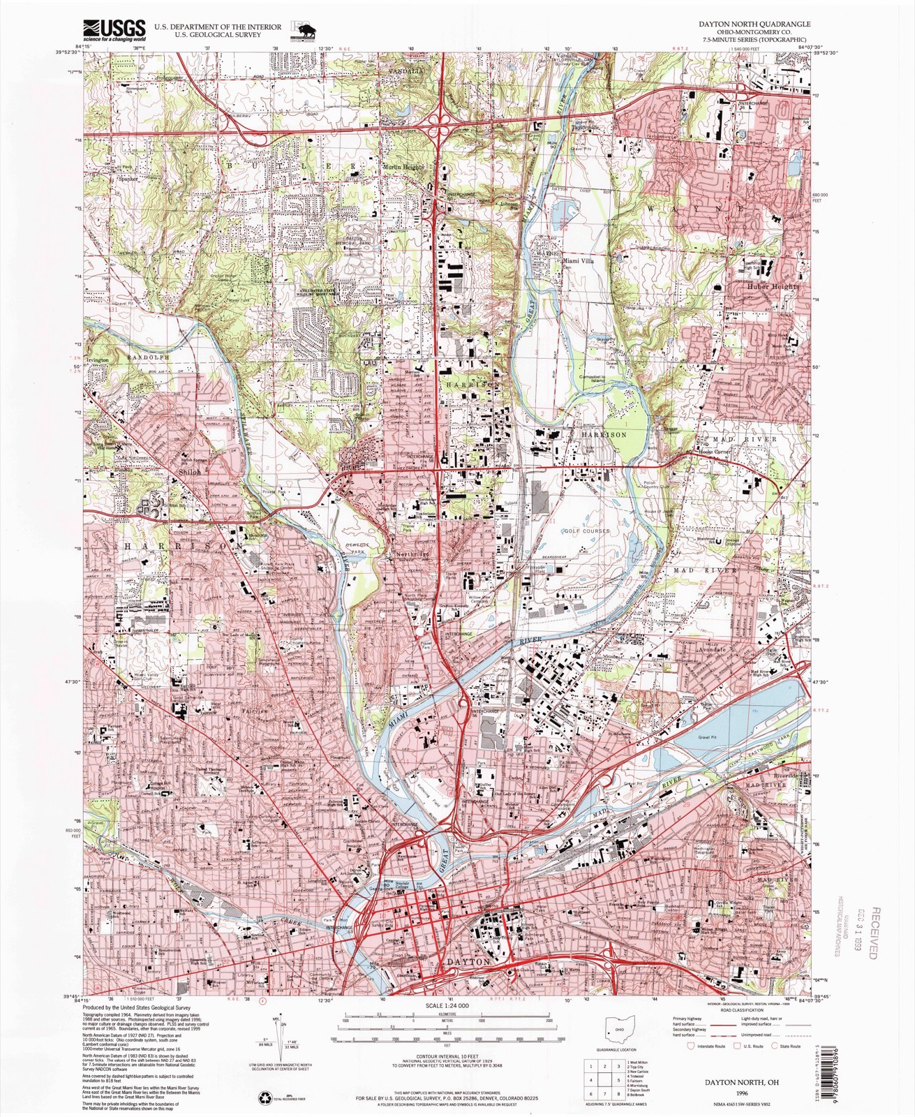
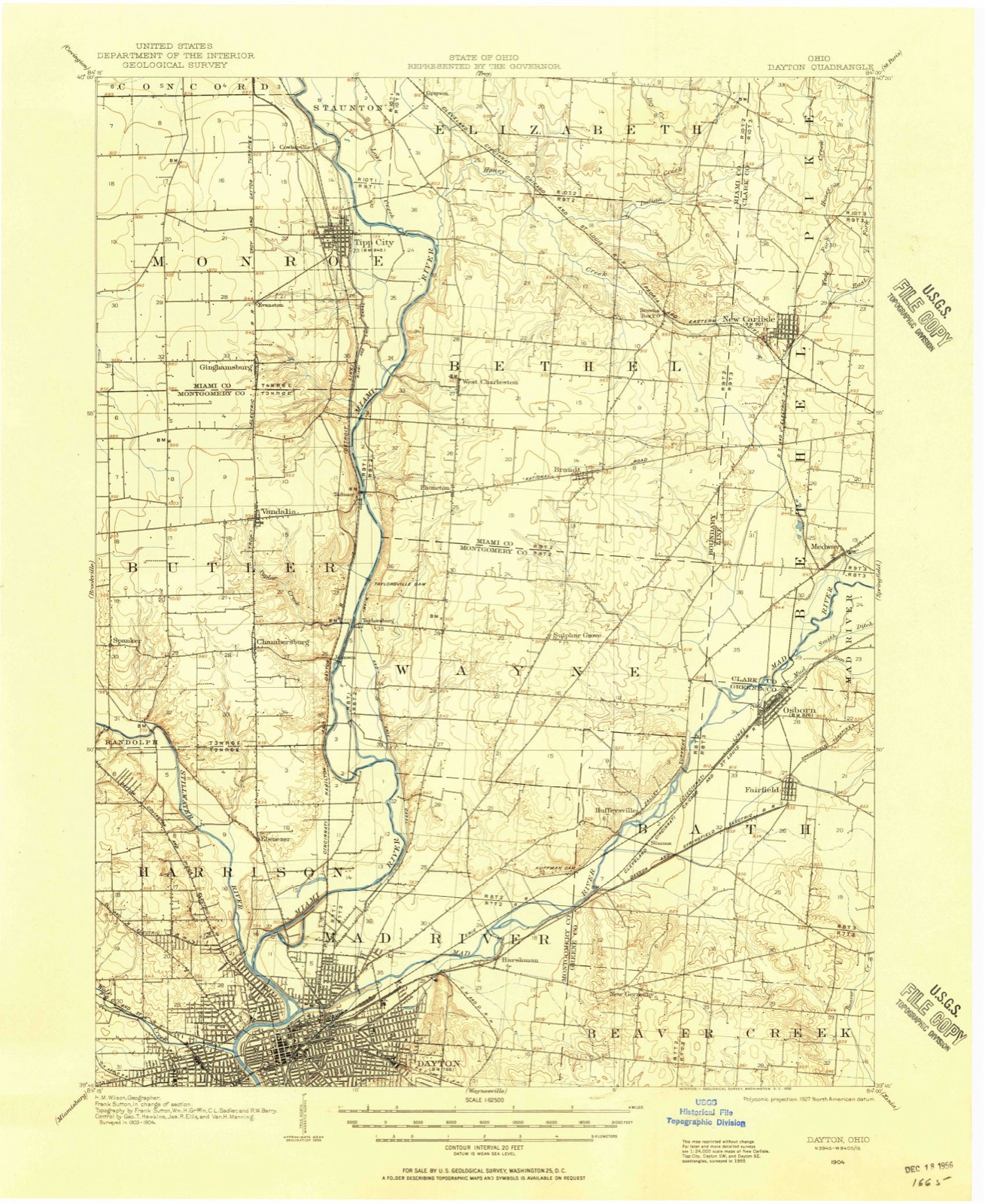
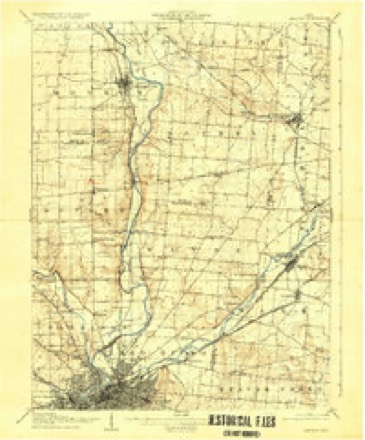
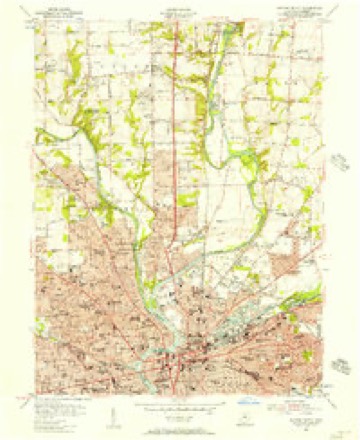
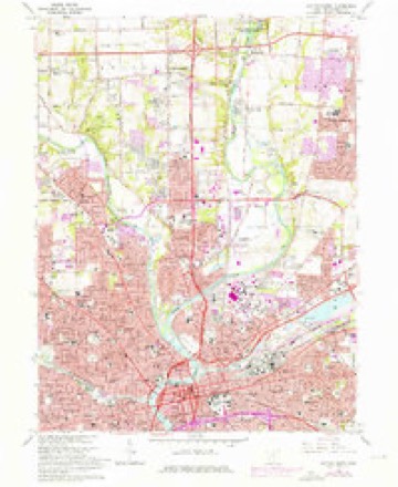
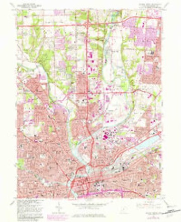
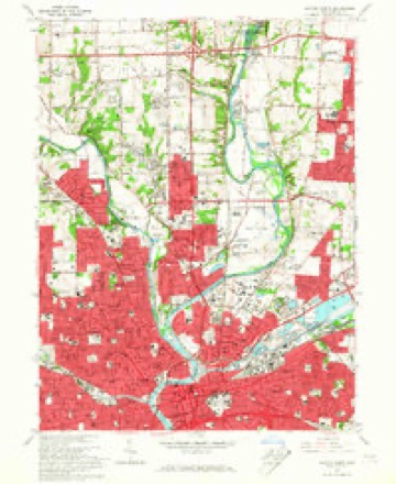
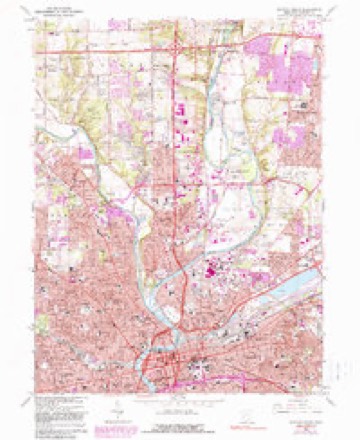
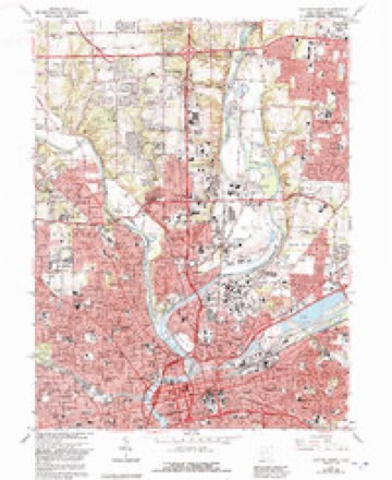
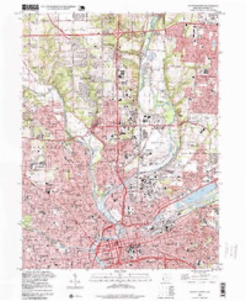
16 topographic sheets cover this place, the earliest surveyed in 1904 and the latest in 1996. It stands in Dayton City. It lies in ZIP code area 45431. The Survey maps it on the Dayton North quadrangle.
Then and now
1904 to 1996The same ground, surveyed 92 years apart. Drag the handle to wipe between them. Both sheets are United States Geological Survey originals; neither has been altered.
Compare 1904 against another survey:
Topographic sheets covering this place
16 sheetsMatched by testing this settlement's coordinate against the published boundary of every sheet in the United States Geological Survey's historical collection. Each opens the scanned sheet at the Survey.
- 1904 USGS Dayton quadrangle1:62500
- 1906 USGS Dayton quadrangle1:62500
- 1906 USGS Dayton quadrangle1:62500
- 1953 USGS Cincinnati quadrangle1:250000
- 1953 USGS Cincinnati quadrangle1:250000
- 1953 USGS Cincinnati quadrangle1:250000
- 1955 USGS Dayton North quadrangle1:24000
- 1957 USGS Cincinnati quadrangle1:250000
- 1965 USGS Dayton North quadrangle1:24000
- 1965 USGS Dayton North quadrangle1:24000
- 1965 USGS Dayton North quadrangle1:24000
- 1965 USGS Dayton North quadrangle1:24000
- 1965 USGS Dayton North quadrangle1:24000
- 1986 USGS Dayton quadrangle1:100000
- 1986 USGS Dayton quadrangle1:100000
- 1996 USGS Dayton North quadrangle1:24000






What happened here
An account from the chapter on Dayton city, The inset identifies its exact source book and publication year.
Con Tents
A Typical Frontier Vavern - Daytou Contained Nine Dwellings in 1799- - Several Roads Opened--Monument Avenue Cleared--Main Street a Narrow Wagon Road - Settlements Few and Far Between - Hardships of Pioneer Life--Tidian War Apprehended - Block House Built - Schooi Opened in the Block House- - First Distillery Started - Cooper's Saw Mill - Corn Cracker - Hogs Introduced - Feed on Mast - Attacked by Wild Animals--First Flat Boat Launched-Sheep Introduced - Cost of Groceries at Cinciunati - Little Money jin Circulation - Business Conducted by Barter - Value of Diffsrent Kinds of Skins--Cut Money - McDougal's Store - Trade with the Indians - First Child Boro in Dayton - Taxation in 1800 - First Wedding - Census in 1801 - First Miuister - - Methodists - Presbyterians--Log Meeting House - First Grave Yard - - Jobn W.
In the county-history sources
783,752 words on this townshipThe History of Montgomery County, Ohio, Containing a History of the County;, published 1882 names this settlement in its chapter on Dayton City. These are the passages that mention it, exactly as the scans read.
This company was organized February 2, 1851. It is one of the ol< joint-stock companies in the State, and operates under a special charter grai March 5, 1851. The incorporators of the company were Daniel Beckel, seph Clegg, William Dickey, It. Green, W. S. Westerman, R. Chambers John Harries. The first officers were: Daniel Beckel, President, and J. L. Do- Secretary. In 1854, James It. Young was made Secretary pro tern., and 1855, was elected permanent Secretary, which position he filled until P when he resigned. In 1S70, the company bought out the Fnion Insure Company, re-insured their risks, and succeeded to the business of that c pany. The capital stock of the Dayton Company is $100,000. The prei officers are: Hon. D. A. Haynes, President, and J. Harrison Hall, Secret
Passage source: The History of Montgomery County, Ohio, Containing a History of the County;, published 1882.
Machine-read from a century-old scan, so expect the errors a machine makes: misspelled names, dropped words, stray characters.
Read the whole chapter on Dayton City - it names this place 1 more 1 time.
Specimens collected near this place
12 of 882 shownRegional context, not property-specific evidence. Museums hold 882 specimens collected within 10 miles of Harries between 1835 and 1975: 732 Animalia, 85 Plantae, 56 Fungi, 4 Protozoa, 4 Unrecorded, 1 Chromista. 12 distinct Species records are shown. Collected by A JOHN AND W E DUELLMAN, A. E. Foeerste, A. E. Foerste and others. Each is a physical object with a catalogue number, and each entry opens the museum's record. This is what was collected and kept, not a survey of what lives here - nothing can be concluded from a species being absent.
| Image | Species | Year | Collected by | Where, as recorded |
|---|---|---|---|---|
 | Ambrosia artemisiifolia L. | 1881 | Foerste AF | |
 | Geaster limbatus Fr. | 1883 | A. E. Foeerste | Dayton |
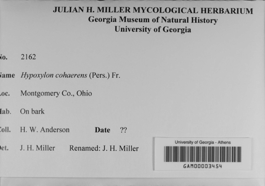 | Hypoxylon cohaerens (Pers.) Fr. | 1897 | H. W. Anderson | |
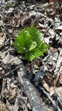 | Botrypus virginianus (L.) Michx. | 1835 | Joseph C. Frank | Ohio, Miami [County] |
 | Platanthera leucophaea (Nutt.) Lindl. | 1836 | C. W. Short | Dayton |
 | Erythronium americanum Ker Gawl. | 1837 | van Cleve, John W. | 3 mi. north of Dayton |
 | Hydrophyllum macrophyllum Nutt. | 1838 | J. W. Van Cleve | Dayton |
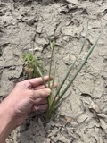 | Allium canadense L. | 1839 | not recorded | Dayton. 1 mi. northeast. |
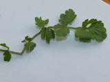 | Cardamine L. | 1839 | Sanders, Alfred; J.J. Nagel, J.G. Haupt. | Dayton. 1 mile east. |
 | Cassia marilandica L. | 1839 | Sanders, Alfred | Dayton |
 | Cynoglossum officinale L. | 1839 | not recorded | Dayton. Suburbs E. |
 | Iris versicolor L. | 1839 | not recorded | Dayton. 2 mi. south |
All 882 specimens within 10 miles, at the Global Biodiversity Information Facility.
Mines and quarries near this place
10 of 11 shownRegional context, not property-specific evidence. The federal mineral resources record lists 11 workings within 5 miles of Harries: 10 past producers, 1 plant. 1 still produces. What was taken out: Sand and Gravel, Construction. Distance is straight-line from the map coordinates, so a quarry counted here may appear on a neighbouring settlement's page as well.
| Where | Site | Commodity | Status | Recorded |
|---|---|---|---|---|
| Broadway Sand and Gravel Pit | Sand and Gravel, Construction | Past Producer | Sedimentary | |
| East River Road Pit | Sand and Gravel, Construction | Past Producer | Sedimentary | |
| Hawker and Son Pit | Sand and Gravel, Construction | Past Producer | Sedimentary | |
| Hawker and Son Pit | Sand and Gravel, Construction | Past Producer | ||
| Jackson Pit | Sand and Gravel, Construction | Past Producer | Sedimentary | |
| Moraine Materials Sand & Gravel | Sand and Gravel, Construction | Past Producer | ||
| Rip Rap Road Plant 416 & Pit | Sand and Gravel, Construction | Plant | ||
| South Dayton Pit | Sand and Gravel, Construction | Past Producer | Sedimentary | |
| Stanley Avenue Pit | Sand and Gravel, Construction | Past Producer | Sedimentary | |
| Stanley Avenue Pit | Sand and Gravel, Construction | Past Producer |
Nearest settlements
The eight closest, with where each one stands in the county. Distances are straight-line, computed from the Geographic Names Information System coordinates.
| Map | Place | Distance | Sheets |
|---|---|---|---|
| Riverside | 0.8 miles | 16 | |
| East Dayton | 0.9 miles | 16 | |
| Avondale | 1.1 miles | 16 | |
| Page Manor | 1.8 miles | 16 | |
| Beverly Gardens | 2.0 miles | 16 | |
| Oakland | 2.3 miles | 14 | |
| Hearthstone | 2.5 miles | 14 | |
| Ohmer Park | 2.6 miles | 14 |
Provenance
This settlement is recorded in the Geographic Names Information System as feature 1071132. The sheet list is computed by point-in-boundary test against the United States Geological Survey's historical topographic inventory. Both are works of the United States government and carry no copyright under 17 U.S.C. 105.
Specimens. Global Biodiversity Information Facility (GBIF), https://www.gbif.org/. Only records licensed CC0 or CC BY are used. Records licensed CC BY-NC are excluded because this site carries advertising. Images are checked individually and any whose licence is non-commercial, no-derivatives or unreadable is refused.
Mines and quarries. USGS Mineral Resources Data System (MRDS) https://mrdata.usgs.gov/mrds/ A work of the United States government, no copyright under 17 U.S.C. 105.