 Block
Block
Hendrysburg, Ohio
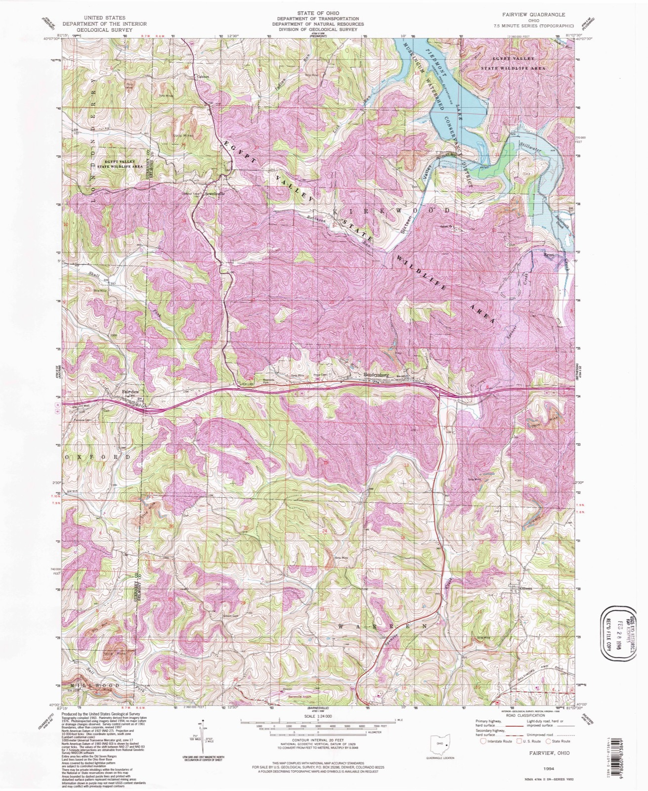
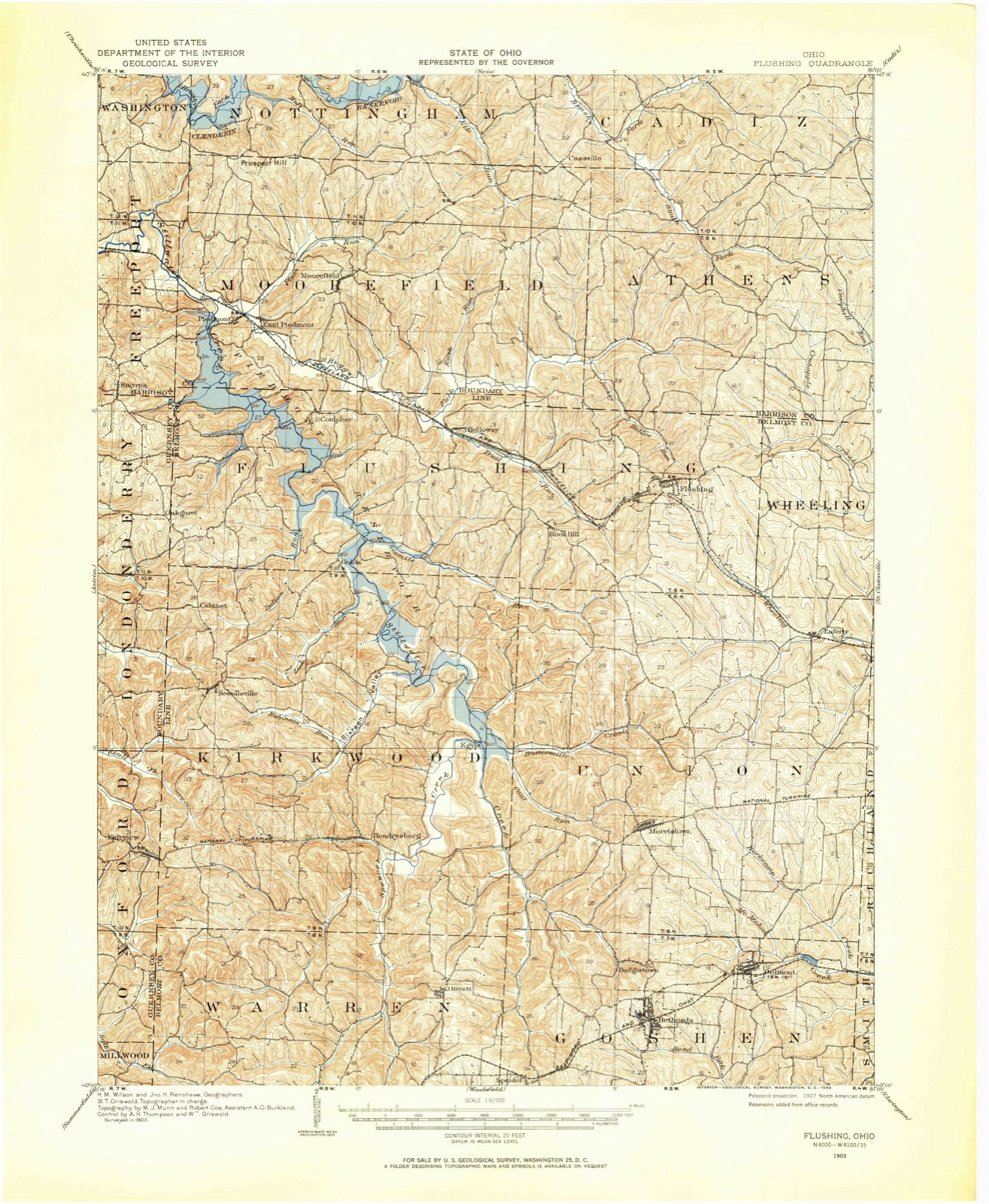
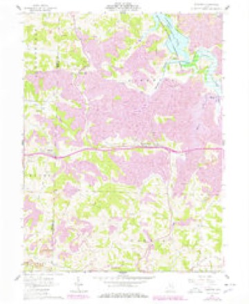
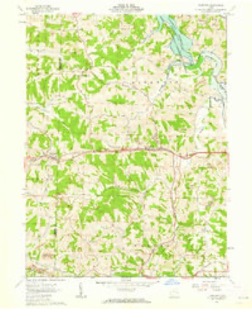
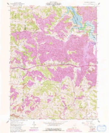
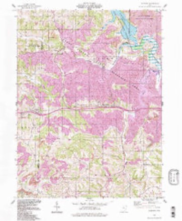
13 topographic sheets cover this place, the earliest surveyed in 1903 and the latest in 1994. It stands in Kirkwood Township. It lies in ZIP code area 43713. The Survey maps it on the Fairview quadrangle.
Then and now
1903 to 1994The same ground, surveyed 91 years apart. Drag the handle to wipe between them. Both sheets are United States Geological Survey originals; neither has been altered.
Compare 1903 against another survey:
Topographic sheets covering this place
13 sheetsMatched by testing this settlement's coordinate against the published boundary of every sheet in the United States Geological Survey's historical collection. Each opens the scanned sheet at the Survey.
- 1903 USGS Flushing quadrangle1:62500
- 1905 USGS Flushing quadrangle1:62500
- 1951 USGS Canton quadrangle1:250000
- 1953 USGS Canton quadrangle1:250000
- 1957 USGS Canton quadrangle1:250000
- 1957 USGS Canton quadrangle1:250000
- 1957 USGS Canton quadrangle1:250000
- 1961 USGS Fairview quadrangle1:24000
- 1961 USGS Fairview quadrangle1:24000
- 1961 USGS Fairview quadrangle1:24000
- 1962 USGS Canton quadrangle1:250000
- 1962 USGS Canton quadrangle1:250000
- 1994 USGS Fairview quadrangle1:24000







What happened here
An account from the chapter on Kirkwood township, The inset identifies its exact source book and publication year.
The Only Execution In A Century
One of the most exciting incidents in the history of Kirkwood township was the murder of Louisa Fox, in 1869, by a notorious character named Thomas L3. Carr, a coal miner in the employ of Alexander Hunter. Carr was a man of had repute, who had become infatuated with the beauty of the girl - for she was but 14 years of age - and because she refused to marry him, he inhumanely took the innocent's life.
In the county-history sources
3,926 words on this townshipCentennial History of Belmont County, Ohio, and Representative Citizens., published 1903 names this settlement in its chapter on Kirkwood Township. These are the passages that mention it, exactly as the scans read.
The block of coal lands taken up by W. S. Mechem and Joseph H. Douglass in Kirkwood township and vicinity has been sold to Eastern capitalists. The block contains 5,000 or more acres lying north of Barnesville and west of the Flendrysburg & Barnesville Pike. We are informed that arrangements for the payment of the same will be made at once, and at an average of $12 per acre it means that $60,000 will soon be placed in the hands of the farmers interested in the deal. It is understood, also, that negotiations are now on, with good prospect for success, of adding several thousand more acres to the block and thus distributing a proportionate sum of money throughout this neighborhood.
Passage source: Centennial History of Belmont County, Ohio, and Representative Citizens., published 1903.
The foreinost village in the township, was laid out by Charles Hendry in 1828. Mr. Hendry had erected a steam flour mill at Hendrysburg, which attracted many people to the town, and many houses were erected along the line of the National Road and extended over a quarter of a section. The old log houses first constructed have been removed and frame and brick buildings have taken their places. It is claimed the first building, other than the log cabins, was built by William Tidball. This house was subsequently used as a tavern.
Passage source: Centennial History of Belmont County, Ohio, and Representative Citizens., published 1903.
When the first grist mill built by Hendry was burned, a much larger mill was constructed by Christopher Shaffer in 1849-50. This mill had a capacity of 100 barrels of flour per day. Four years later Combs & McCartney built another flour mill at the east end of the village.
Passage source: Centennial History of Belmont County, Ohio, and Representative Citizens., published 1903.
Machine-read from a century-old scan, so expect the errors a machine makes: misspelled names, dropped words, stray characters.
Read the whole chapter on Kirkwood Township - it names this place 1 more 1 time.
Fires near this place
2 since 2005Regional context, not property-specific evidence. The federal wildfire occurrence database lists 2 fires within 5 miles of Hendrysburg between 2005 and 2014, burning about 0 acres in total. None started naturally. None was recorded as arson. Distance is straight-line from the map coordinates, so a fire counted here may appear on a neighbouring settlement's page as well.
| Reported cause | Fires |
|---|---|
| Debris and open burning | 2 |
The most recent of them, most recent first, with the day each was reported and the service that recorded it.
| Date | Cause | Size | Reported by | Name on the report |
|---|---|---|---|---|
| 9 April 2005 | Debris and open burning | under an acre | Ohio Department of Natural Resources | not named |
| 6 April 2014 | Debris and open burning | under an acre | Ohio Department of Natural Resources | not named |
Settlements close enough to share some of these fires:
Specimens collected near this place
12 of 90 shownRegional context, not property-specific evidence. Museums hold 90 specimens collected within 10 miles of Hendrysburg between 1899 and 1975: 44 Plantae, 41 Animalia, 4 Fungi, 1 Unrecorded. 12 distinct Species records are shown. Collected by A. Goff, Buker, W.E., Buker, W.E.; Henry, L.K. and others. Each is a physical object with a catalogue number, and each entry opens the museum's record. This is what was collected and kept, not a survey of what lives here - nothing can be concluded from a species being absent.
| Image | Species | Year | Collected by | Where, as recorded |
|---|---|---|---|---|
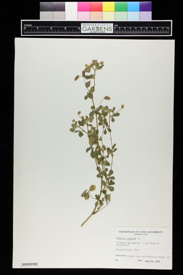 | Medicago lupulina L. | 1961 | Robert Gray; Charles O. Wingo Jr. | 1 mile west of Hendrysburg. |
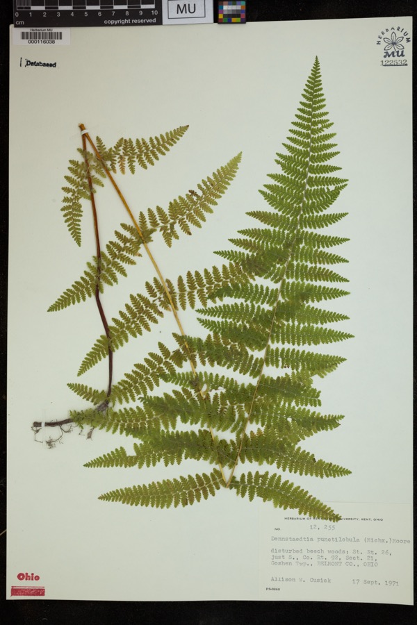 | Dennstaedtia punctilobula (Michx.) T.Moore | 1971 | Cusick, A.W. | disturbed beech woods; St. Rt. 26, just S., Co. Rt. 92, Sect 21, Goshen Twp. |
 | Anas discors Linnaeus, 1766 | 1899 | not recorded | Lafferty, Lafferty's Pond. |
| unnamed | 1905 | Laughlin Emma E. | Barnesville | |
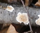 | Merulius incarnatus (S.Ito & S.Imai) Spirin & Zmitr. | 1905 | Laughlin Emma E. | Barnesville |
 | Dryopteris goldiana (Hook. ex Goldie) A.Gray | 1907 | Laughlin, E.E. | Barnesville |
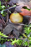 | Geastrum triplex Jungh. | 1907 | Laughlin Emma E. | Barnesville |
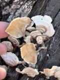 | Stereum fasciatum (Schwein.) Fr. | 1907 | Laughlin Emma E. | Barnesville |
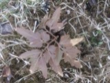 | Botrychium dissectum Spreng. | 1919 | Laughlin, E.E. | Barnesville |
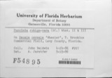 | Puccinia rubigo-vera var. tritici (Erikss.) Carleton | 1919 | Riker A. J. | Belmont |
 | Campostoma anomalum (Rafinesque, 1820) | 1925 | CL & LC Hubbs | Stillwater Creek, 5 mi N of Barnesville |
 | Etheostoma nigrum Rafinesque, 1820 | 1925 | CL & LC Hubbs | Stillwater Creek, 5 mi N of Barnesville |
All 90 specimens within 10 miles, at the Global Biodiversity Information Facility.
Storms near this place
2 since 2002Regional context, not property-specific evidence. The National Weather Service names Hendrysburg in 2 storm reports between 2002 and 2003: 1 thunderstorm wind, 1 flash flood. No death or injury is recorded in these reports. Each account below is quoted exactly as the forecast office filed it, from the NOAA Storm Events Database, and each date opens the federal record of that event.
| When | Event | Place named | Harm | What the report says |
|---|---|---|---|---|
| September 2002 | Thunderstorm Wind | Hendrysburg | $5,000 | Thunderstorm winds downed several trees and power lines across State Route 800 from Hendrysburg to Barnesville. |
| August 2003 | Flash Flood | Hendrysburg | - | Over 2 inches of rain caused flooding on, and the closing of, Route 800. |
Nearest settlements
The eight closest, with where each one stands in the county. Distances are straight-line, computed from the Geographic Names Information System coordinates.
| Map | Place | Distance | Sheets |
|---|---|---|---|
| Egypt | 2.9 miles | 13 | |
| Olivett | 3.3 miles | 13 | |
| Sewellsville | 3.3 miles | 13 | |
| Cabinet | 4.6 miles | 13 | |
| Golda | 4.6 miles | 14 | |
| Tacoma | 4.6 miles | 13 | |
| Reynolds Road Cottage Area | 4.7 miles | 14 | |
| Barnesville | 5.0 miles | 13 |
Elsewhere
Matched on this settlement's Geographic Names Information System number rather than its name, so it cannot be a different place of the same name in another state.
| Wikipedia article on Hendrysburg | An encyclopaedic summary. Its text is share-alike, so it is linked here rather than copied. |
| Wikidata item Q22133814 | The structured record the population and elevation above come from. Public domain (CC0). |
Provenance
This settlement is recorded in the Geographic Names Information System as feature 1064823. The sheet list is computed by point-in-boundary test against the United States Geological Survey's historical topographic inventory. Both are works of the United States government and carry no copyright under 17 U.S.C. 105.
Wildfire. Short, Karen C. 2022. Spatial wildfire occurrence data for the United States, 1992-2020 [FPA_FOD_20221014]. 6th Edition. Fort Collins, CO: Forest Service Research Data Archive. https://doi.org/10.2737/RDS-2013-0009.6 Collected with United States Government funding and usable without additional permissions or fees.
Specimens. Global Biodiversity Information Facility (GBIF), https://www.gbif.org/. Only records licensed CC0 or CC BY are used. Records licensed CC BY-NC are excluded because this site carries advertising. Images are checked individually and any whose licence is non-commercial, no-derivatives or unreadable is refused.
Storms. NOAA National Centers for Environmental Information, Storm Events Database https://www.ncei.noaa.gov/stormevents/ A work of the United States government, no copyright under 17 U.S.C. 105. Narratives are quoted verbatim from the National Weather Service report and are not edited or summarised.