 Block
Block
Bethesda, Ohio
12 topographic sheets cover this place, the earliest surveyed in 1903 and the latest in 1962. It stands in Goshen Township. It lies in ZIP code area 43719. The Survey maps it on the Bethesda quadrangle. 1,211 people lived here at the 2020 count. It stands 1,220 feet above sea level.
Population over time
2 figuresBethesda fell from 1,256 to 1,211 between 2010 and 2020. These are the recorded population figures Wikidata holds for this place, reached through the Geographic Names Information System number this page is keyed on rather than by name, so they belong to this place and not to another of the same name. Most are census counts, but not all are: an early figure may be a founding or settlement estimate. The change column is computed, and is left blank where more than 20 years separate a figure from the one before it, because a gap that long is not a change between two counts.
| Year | People | Change |
|---|---|---|
| 2010 | 1,256 | |
| 2020 | 1,211 | -45 (-4%) |
Then and now
1903 to 1962The same ground, surveyed 59 years apart. Drag the handle to wipe between them. Both sheets are United States Geological Survey originals; neither has been altered.
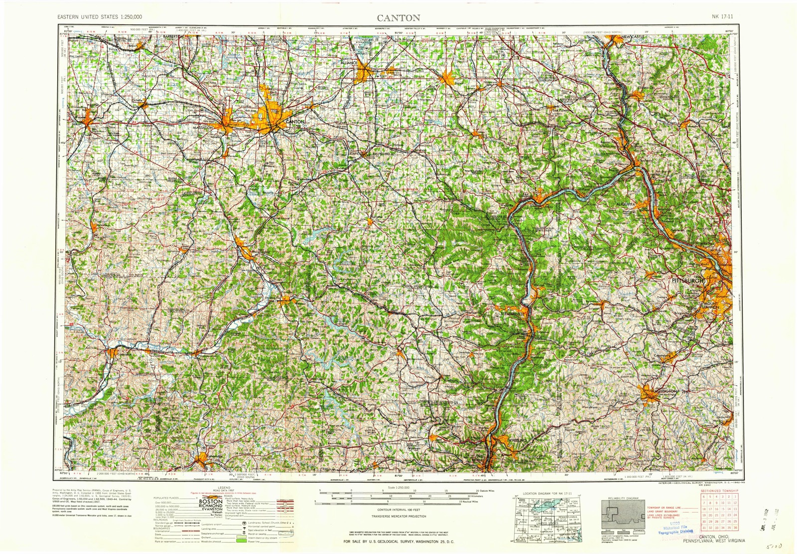
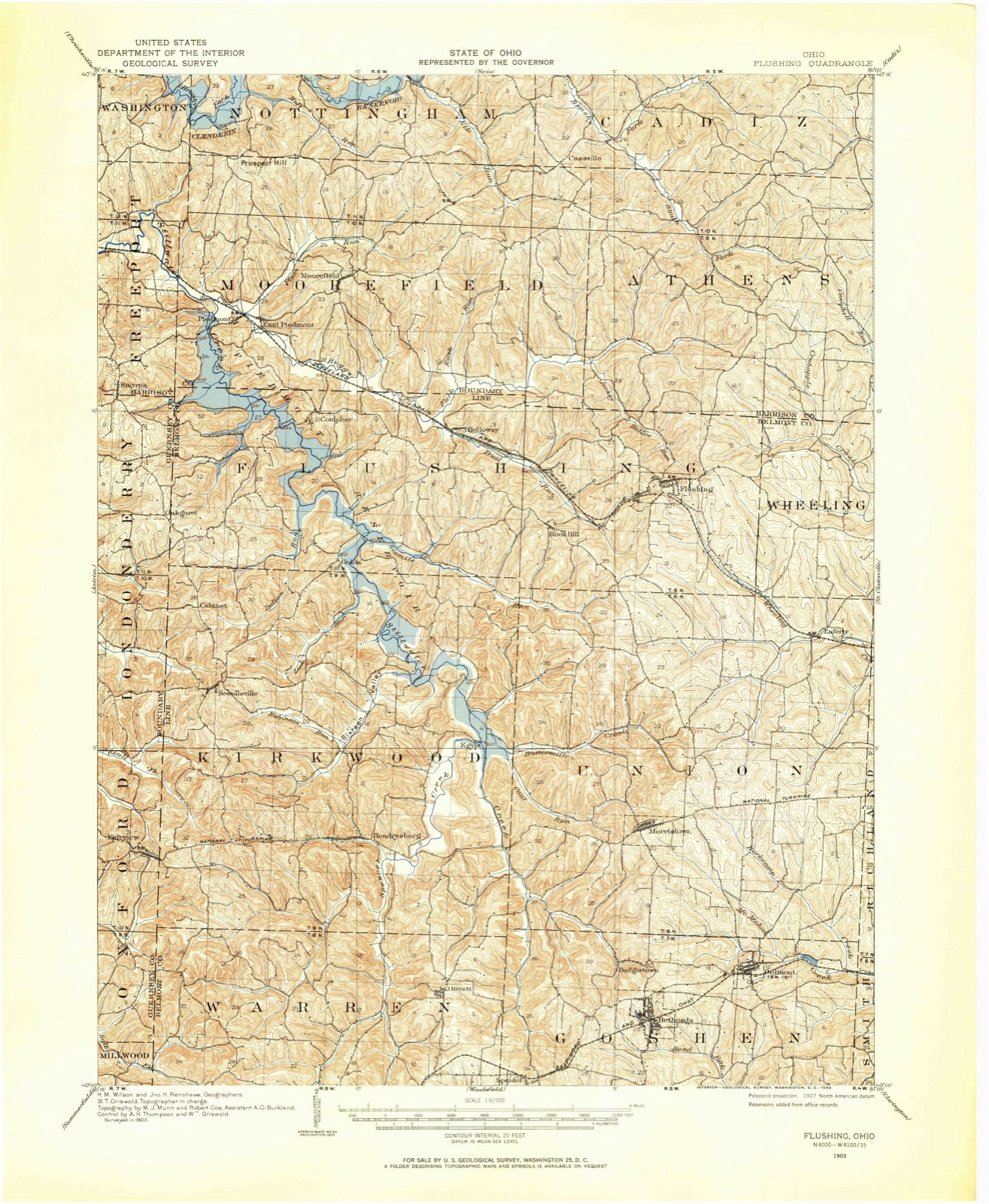
Topographic sheets covering this place
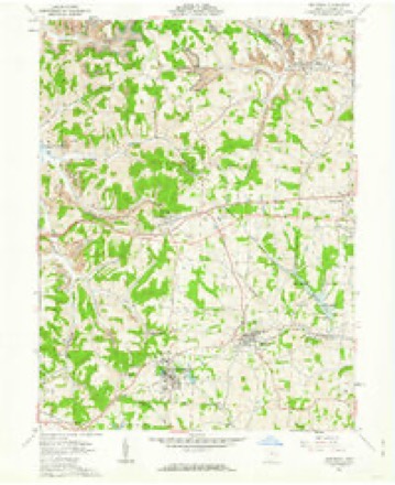
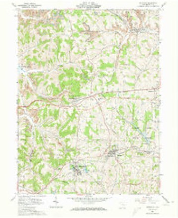
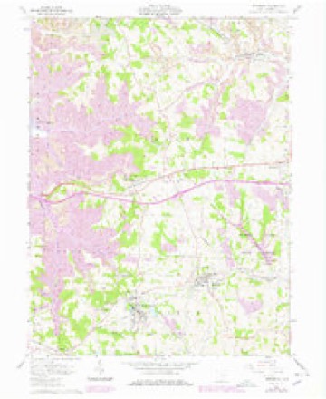
12 sheetsMatched by testing this settlement's coordinate against the published boundary of every sheet in the United States Geological Survey's historical collection. Each opens the scanned sheet at the Survey.
- 1903 USGS Flushing quadrangle1:62500
- 1905 USGS Flushing quadrangle1:62500
- 1951 USGS Canton quadrangle1:250000
- 1953 USGS Canton quadrangle1:250000
- 1957 USGS Canton quadrangle1:250000
- 1957 USGS Canton quadrangle1:250000
- 1957 USGS Canton quadrangle1:250000
- 1961 USGS Bethesda quadrangle1:24000
- 1961 USGS Bethesda quadrangle1:24000
- 1961 USGS Bethesda quadrangle1:24000
- 1962 USGS Canton quadrangle1:250000
- 1962 USGS Canton quadrangle1:250000







In the county-history sources
5,147 words on this townshipCentennial History of Belmont County, Ohio, and Representative Citizens., published 1903 names this settlement in its chapter on Goshen Township. These are the passages that mention it, exactly as the scans read.
Belmont is to be supplied with natural gas. A company is now laying mains. Some time ago a well was put down a little way north of town. A considerable flow of gas was found at a depth of about 900 feet. The well was closed up and nothing done with it until a few months ago, when parties purchased the farm on which the well is located and began arrangements to carry the gas into town. Other wells will be put down and the supply will, it is thought, be equal to the demand. '
Passage source: Centennial History of Belmont County, Ohio, and Representative Citizens., published 1903.
The present church is a neat frame structure on the Belmont and Bethesda circuit, and the pastor is Rev. Mr. Patterson. The official members are Harry Wright, O. C. Weir, Nathan Barnes, Mrs. Fred, E. P. McMurry, Ira Vail, William McClellan, John Wright, C. S. Dunn and William Nichols.
Passage source: Centennial History of Belmont County, Ohio, and Representative Citizens., published 1903.
It was named after Bethesda Church and P. O., which were located a mile or more south. When the post office was removed to the railroad station, the postmaster, Mr. Patterson, carried the name of the post office with him. The railroad station, however, was called Burr's Mills, after the gentleman who erected a mill on the railroad at that point. Mr. Burr suhsec[uently laid out a little village, which was established in 1855. This village, because of its high and beautiful location, was called Fairmount. Thus the village and railroad station and post office had each different names. Eventually the Baltimore & Ohio Railroad adopted Bethesda as the name of the station, when by common consent the other titles, Burr's Mills and Fairmount, were dropped, and the village is now known as Bethesda.
Passage source: Centennial History of Belmont County, Ohio, and Representative Citizens., published 1903.
Machine-read from a century-old scan, so expect the errors a machine makes: misspelled names, dropped words, stray characters.
Read the whole chapter on Goshen Township - it names this place 3 more 3 times.
Fires near this place
7 since 2002Regional context, not property-specific evidence. The federal wildfire occurrence database lists 7 fires within 5 miles of Bethesda between 2002 and 2014, burning about 39 acres in total. None started naturally. None was recorded as arson. Distance is straight-line from the map coordinates, so a fire counted here may appear on a neighbouring settlement's page as well.
| Reported cause | Fires |
|---|---|
| Debris and open burning | 4 |
| Missing data/not specified/undetermined | 2 |
| Equipment and vehicle use | 1 |
The most recent of them, most recent first, with the day each was reported and the service that recorded it.
| Date | Cause | Size | Reported by | Name on the report |
|---|---|---|---|---|
| 7 September 2002 | Equipment and vehicle use | 15 acres | Ohio State Fire Marshal's Office | not named |
| 4 May 2013 | Debris and open burning | under an acre | Ohio Department of Natural Resources | not named |
| 6 April 2014 | Debris and open burning | under an acre | Ohio Department of Natural Resources | not named |
| 28 March 2014 | Debris and open burning | under an acre | Ohio Department of Natural Resources | not named |
| 15 March 2014 | Debris and open burning | 2.0 acres | Ohio Department of Natural Resources | not named |
| 15 March 2014 | Missing data/not specified/undetermined | 21 acres | Ohio Department of Natural Resources | not named |
| 14 March 2014 | Missing data/not specified/undetermined | under an acre | Ohio Department of Natural Resources | not named |
Settlements close enough to share some of these fires:
Specimens collected near this place
12 of 222 shownRegional context, not property-specific evidence. Museums hold 222 specimens collected within 10 miles of Bethesda between 1877 and 1975: 184 Animalia, 27 Plantae, 10 Fungi, 1 Unrecorded. 12 distinct Species records are shown. Collected by A. Goff, Buker, W.E., Buker, W.E.; Henry, L.K. and others. Each is a physical object with a catalogue number, and each entry opens the museum's record. This is what was collected and kept, not a survey of what lives here - nothing can be concluded from a species being absent.
| Image | Species | Year | Collected by | Where, as recorded |
|---|---|---|---|---|
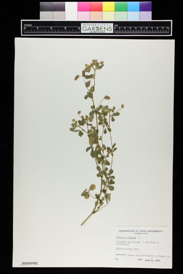 | Medicago lupulina L. | 1961 | Robert Gray; Charles O. Wingo Jr. | 1 mile west of Hendrysburg. |
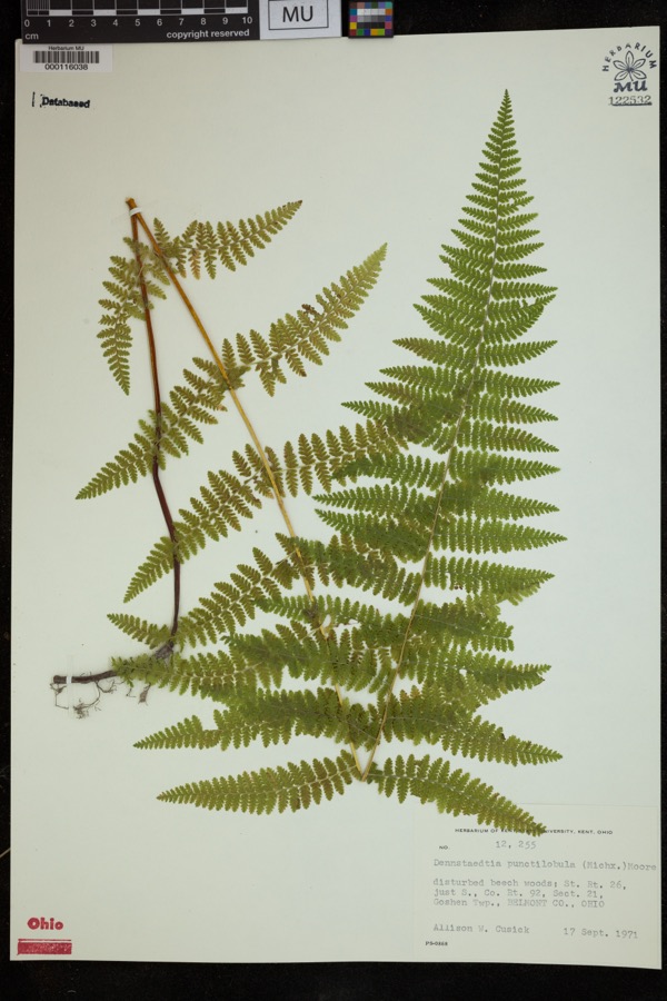 | Dennstaedtia punctilobula (Michx.) T.Moore | 1971 | Cusick, A.W. | disturbed beech woods; St. Rt. 26, just S., Co. Rt. 92, Sect 21, Goshen Twp. |
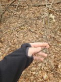 | Hamamelis virginiana L. | 1877 | Guttenberg, G. | St. Clairsville Rd |
 | Dumetella carolinensis (Linnaeus, 1766) | 1884 | Jones, J. (Jesse) | Belmont, Ohio, USA |
 | Hylocichla mustelina (Gmelin, 1789) | 1885 | Jones, J. (Jesse) | West Wheeling, Belmont, Ohio, USA |
 | Quiscalus quiscula versicolor Vieillot, 1819 | 1885 | Jones, J. (Jesse) | Martin's Ferry, Belmont, Ohio, USA |
 | Turdus migratorius Linnaeus, 1766 | 1885 | Jones, J. (Jesse) | Martin's Ferry, Belmont, Ohio, USA |
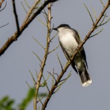 | Tyrannus tyrannus (Linnaeus, 1758) | 1885 | Jones, J. | Martin's Ferry, Belmont, Ohio, USA |
 | Zenaida macroura (Linnaeus, 1758) | 1885 | Jones, J. (Jesse) | Martin's Ferry, Belmont, Ohio, USA |
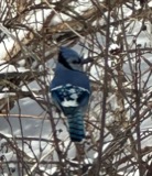 | Cyanocitta cristata (Linnaeus, 1758) | 1891 | Pogue, G. M. (George Marion) | Belmont, Ohio, USA |
 | Hirundo rustica Linnaeus, 1758 | 1891 | Pogue, G. M. (George Marion) | 2 miles south-east of Loydsville, Belmont, Ohio, USA |
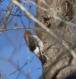 | Melanerpes erythrocephalus (Linnaeus, 1758) | 1891 | Pogue, G. M. (George Marion) | 1/2 mile east of Loydsville, Belmont, Ohio, USA |
All 222 specimens within 10 miles, at the Global Biodiversity Information Facility.
Storms near this place
15 since 1995Regional context, not property-specific evidence. The National Weather Service names Bethesda in 15 storm reports between 1995 and 2023: 11 thunderstorm wind, 4 hail. No death or injury is recorded in these reports. Each account below is quoted exactly as the forecast office filed it, from the NOAA Storm Events Database, and each date opens the federal record of that event.
| When | Event | Place named | Harm | What the report says |
|---|---|---|---|---|
| June 2012 | Thunderstorm Wind | Bethesda | $10,000 | Trained spotter reported trees down and roof damage. |
| April 2018 | Thunderstorm Wind | Bethesda | $5,000 | State official reported multiple trees down in and around Bethesda. |
| July 2006 | Thunderstorm Wind | Bethesda | $5,000 | Numerous trees down along SR 26. |
| April 2000 | Thunderstorm Wind | Bethesda | $5,000 | Thunderstorm winds downed several large trees. |
| June 2007 | Thunderstorm Wind | Bethesda | $2,000 | EMA reported trees down South of the Town of Bethesda. |
| July 1995 | Thunderstorm Wind | Bethesda | $2,000 | Numerous large trees and power lines were downed by thunderstorm winds in and between Bethesda and Belmont. |
| August 1996 | Thunderstorm Wind | Bethesda | $2,000 | no account filed |
| June 2013 | Thunderstorm Wind | Bethesda | $1,000 | Department of Highways reported trees down. |
| April 2023 | Thunderstorm Wind | Bethesda | - | A few trees were reported down along State Route 147 west of Belmont. |
| June 2022 | Hail | Bethesda | - | Quarter sized hail reported. |
| June 2022 | Hail | Bethesda | - | Penny/Nickel sized hail reported. |
| June 2021 | Thunderstorm Wind | Bethesda | - | Public report of large tree down. |
| August 2008 | Hail | Bethesda | - | The public reported one inch hail near Bethesda. |
| June 2005 | Thunderstorm Wind | Bethesda | - | 62 mph wind gust. |
| August 2006 | Hail | Bethesda | - | no account filed |
Nearest settlements
The eight closest, with where each one stands in the county. Distances are straight-line, computed from the Geographic Names Information System coordinates.
| Map | Place | Distance | Sheets |
|---|---|---|---|
| Badgertown | 1.1 miles | 12 | |
| Belmont | 2.0 miles | 12 | |
| Speidel | 2.4 miles | 12 | |
| Morristown | 3.2 miles | 12 | |
| Olivett | 3.5 miles | 13 | |
| Loomis | 3.5 miles | 12 | |
| Tacoma | 4.1 miles | 13 | |
| Lamira | 4.5 miles | 17 |
Elsewhere
Matched on this settlement's Geographic Names Information System number rather than its name, so it cannot be a different place of the same name in another state.
| Wikipedia article on Bethesda | An encyclopaedic summary. Its text is share-alike, so it is linked here rather than copied. |
| Wikidata item Q2392682 | The structured record the population and elevation above come from. Public domain (CC0). |
Provenance
This settlement is recorded in the Geographic Names Information System as feature 1064431. The sheet list is computed by point-in-boundary test against the United States Geological Survey's historical topographic inventory. Both are works of the United States government and carry no copyright under 17 U.S.C. 105.
Wildfire. Short, Karen C. 2022. Spatial wildfire occurrence data for the United States, 1992-2020 [FPA_FOD_20221014]. 6th Edition. Fort Collins, CO: Forest Service Research Data Archive. https://doi.org/10.2737/RDS-2013-0009.6 Collected with United States Government funding and usable without additional permissions or fees.
Specimens. Global Biodiversity Information Facility (GBIF), https://www.gbif.org/. Only records licensed CC0 or CC BY are used. Records licensed CC BY-NC are excluded because this site carries advertising. Images are checked individually and any whose licence is non-commercial, no-derivatives or unreadable is refused.
Storms. NOAA National Centers for Environmental Information, Storm Events Database https://www.ncei.noaa.gov/stormevents/ A work of the United States government, no copyright under 17 U.S.C. 105. Narratives are quoted verbatim from the National Weather Service report and are not edited or summarised.