 Block
Block
Hill Grove, Ohio
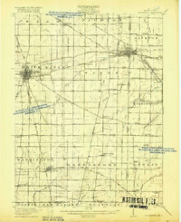
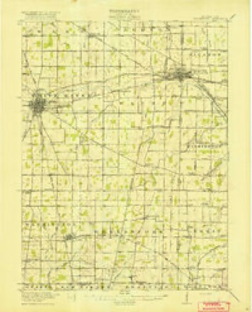
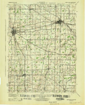
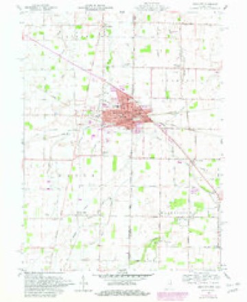
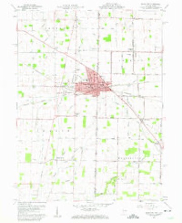
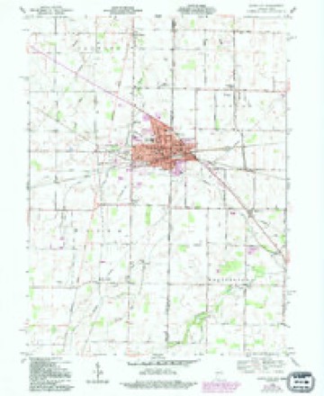
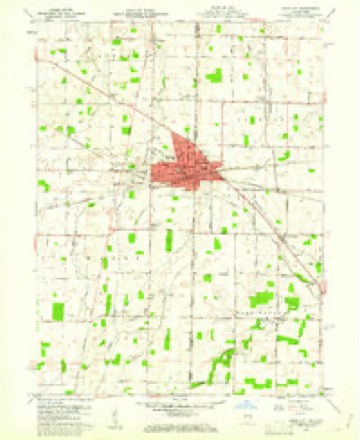
19 topographic sheets cover this place, the earliest surveyed in 1916 and the latest in 1986. It stands in Washington Township. It lies in ZIP code area 45390. The Survey maps it on the Union City quadrangle.
Then and now
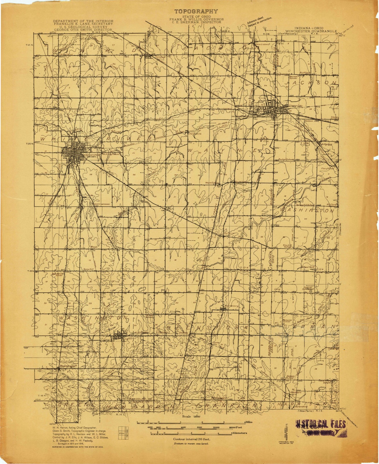
1916 to 1986The same ground, surveyed 70 years apart. Drag the handle to wipe between them. Both sheets are United States Geological Survey originals; neither has been altered.

Compare 1916 against another survey:
Topographic sheets covering this place
19 sheetsMatched by testing this settlement's coordinate against the published boundary of every sheet in the United States Geological Survey's historical collection. Each opens the scanned sheet at the Survey.
- 1916 USGS Winchester quadrangle1:48000
- 1916 USGS Winchester quadrangle1:62500
- 1916 USGS Winchester quadrangle1:62500
- 1918 USGS Winchester quadrangle1:62500
- 1918 USGS Winchester quadrangle1:62500
- 1943 USGS Winchester quadrangle1:62500
- 1953 USGS Muncie quadrangle1:250000
- 1953 USGS Muncie quadrangle1:250000
- 1953 USGS Muncie quadrangle1:250000
- 1953 USGS Muncie quadrangle1:250000
- 1953 USGS Muncie quadrangle1:250000
- 1956 USGS Muncie quadrangle1:250000
- 1960 USGS Union City quadrangle1:24000
- 1960 USGS Union City quadrangle1:24000
- 1960 USGS Union City quadrangle1:24000
- 1960 USGS Union City quadrangle1:24000
- 1986 USGS Piqua quadrangle1:100000
- 1986 USGS Piqua quadrangle1:100000
- 1986 USGS Piqua quadrangle1:100000









In the county-history sources
8,300 words on this townshipThe History of Darke County, Ohio, Containing a History of the County; Its Cities, Towns, Etc.; General and Local Statistics; Portraits of Early Settlers and Prominent Men;, published 1880 names this settlement in its chapter on Washington Township. These are the passages that mention it, exactly as the scans read.
These enterprising pioneers soon began to want a little nicer and safer chimney than the one of mud and sticks, so, with John Snell at the lead, they in common set to work to burn a brick-kiln, but in order to succeed they were obliged to go over to Greenville Township to call upon Hiller to assist in the molding and burning. They did good work, as some of the old chimneys will yet testify. James Brady and John Chenoweth were the first to burn brick and to build brick houses, but Joel Cosad was the first to build a frame house. It was about 18x20 feet base and one story high. One fact in this connection is worthy of note, that is, but few ever left the county who once settled in it ; they were either satisfied with the country or were else too poor to get away. As we have indicated, there are quite a number that have lived in the township from fifty to sixty years. In early times, there was a struggle for village notoriety between Nashville and Hill Grove, but long ago Nashville yielded the contest and not a building is left to mark the site of the would-be village, and Hill Grove came very near being absorbed by Union City. In this connection, it is well to recall Colona, a village located on December 31, which bloomed and died in a brief time. A few lots were laid out and sold, and a few dwellings were erected, but it soon became apparent that there was nothing to incite effort or induce settlement, and the vestiges of occupation soon disappeared, and few, if any, of the citizens of the township in 1880 remember or ever knew that the village of Colona ever had existence. It, like Nashville, was laid out on the old State road, and afforded a halting place to movers and travelers, where they might rest and might obtain food for themselves and for their teams.
Passage source: The History of Darke County, Ohio, Containing a History of the County; Its Cities, Towns, Etc.; General and Local Statistics; Portraits of Early Settlers and Prominent Men;, published 1880.
The village of Hill Grove is situated at the northwest corner of Section 4. It was laid out in 1818, by W. McKee. The population numbers about two hundred persons. It is distant from Union City but little more than two miles, and from Greenville nine and a half. The Greenville & Union pike and the Dayton & Union Railroad run through it. It contains three churches - the German Reformed, United Brethren and Methodist Episcopal. The former was originally built by the Old School Presbyterians, and purchased by the society named in 1876, and Rev. J. Stuck has been Pastor ever since. It was rebuilt during the summer of 1879, and is a neat brick structure, pleasantly located on the north side of Liberty street, in the northeastern part of town. The United Brethren
Passage source: The History of Darke County, Ohio, Containing a History of the County; Its Cities, Towns, Etc.; General and Local Statistics; Portraits of Early Settlers and Prominent Men;, published 1880.
Church is a neat frame, medium-sized building, near the township line, and built in 1878. The Methodist Church is situated over the line a short distance, in Jackson Township, in the northwest part of the village and near that end of Main street. The schoolhouse, which has a school enrolling ninety-four pupils, is located on Main street, opposite the southeast end of Locust street. On the corner of Cherry and Liberty streets stands a two-story grist-mill, originally built as a warehouse when the railroad was put through. It has two run of buh'rs. and is employed exclusively in custom work. Its present owner is Louis Limperd, and it is run by Samuel Limperd. J. A. Bickell's general store is located on the southeast corner of Main and Liberty streets. On the opposite side of .Main street but farther south, on Lot No. 27, is a blacksmith-shop, built by J. Conspue in is.'x ; the old part was built by Wash. McKee about 1834. Mr. McKee kept the first store in Hill Grove, but a short time before there had been a trading station run by Charles Sumption. Herman Searles was among the early storekeepers in the township, and George Clapp built the first blacksmith-shop ; it was located about half a mile southeast of the present village. As to the schools, they were generally taught in old deserted cabins until the settlers saw fit to select some convenient site and unite on some day to build a cabin ; afterward a teacher was hired by the process of joint subscription.
Passage source: The History of Darke County, Ohio, Containing a History of the County; Its Cities, Towns, Etc.; General and Local Statistics; Portraits of Early Settlers and Prominent Men;, published 1880.
Machine-read from a century-old scan, so expect the errors a machine makes: misspelled names, dropped words, stray characters.
Read the whole chapter on Washington Township - it names this place 1 more 1 time.
Specimens collected near this place
12 of 470 shownRegional context, not property-specific evidence. Museums hold 470 specimens collected within 10 miles of Hill Grove between 1895 and 1975: 445 Animalia, 13 Plantae, 12 Fungi. 12 distinct Species records are shown. Collected by A VERWYST, A. F. C.; Stover, W. G., Albrecht, C. and others. Each is a physical object with a catalogue number, and each entry opens the museum's record. This is what was collected and kept, not a survey of what lives here - nothing can be concluded from a species being absent.
| Image | Species | Year | Collected by | Where, as recorded |
|---|---|---|---|---|
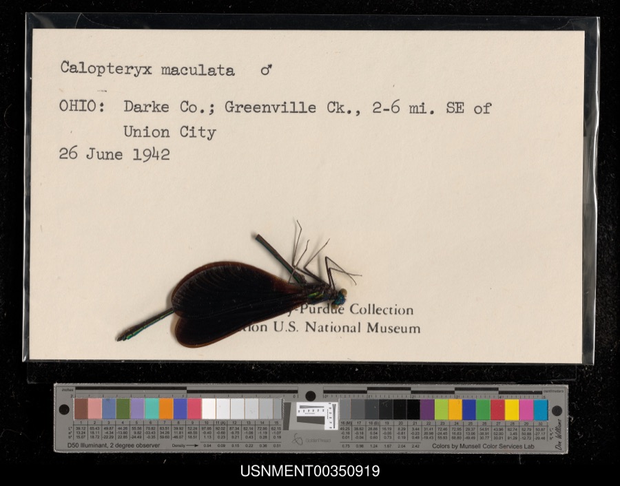 | Calopteryx maculata (Palisot de Beauvois, 1807) | 1942 | [Not Stated] | Greenville Creek, 2-6 miles southeast of Union City |
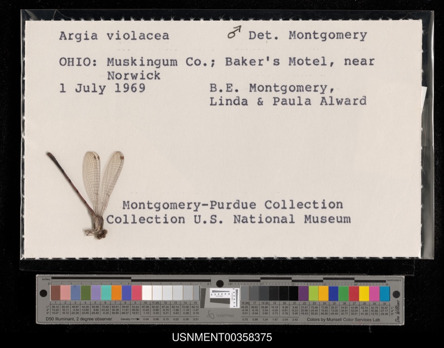 | Argia fumipennis violacea (Hagen, 1861) | 1969 | B. Montgomery, L. Alward & P. Alward | Baker's Motel, near Norwick |
 | Dispira americana Thaxt. | 1895 | Rush W. H. | Greenville |
 | Clitocybe multiceps Peck | 1906 | H.J. Brememan | Greenville |
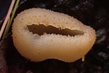 | Peziza vesiculosa Bull. | 1907 | Lucas, C | Greenville |
 | Amanita phalloides (Vaill. ex Fr.) Secr. | 1909 | A. F. C.; Stover, W. G. | Greenville |
 | Clitocybe odora (Bull.) P.Kumm. | 1909 | Stover, W. G. | Greenville |
 | Panaeolus solidipes (Peck) Sacc. | 1909 | Stover, W. G. | Greenville |
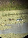 | Butorides virescens virescens (Linnaeus, 1758) | 1915 | Householder, V. | Ausonia, 1 mi E |
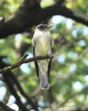 | Contopus virens (Linnaeus, 1766) | 1915 | Householder, V. | Ausonia, 3 mi W |
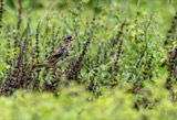 | Dolichonyx oryzivorus (Linnaeus, 1758) | 1915 | Householder, V. | 1 mi. E Ausonia |
 | Falco sparverius sparverius Linnaeus, 1758 | 1915 | Householder, V. | Ansonia, 1 mi E |
All 470 specimens within 10 miles, at the Global Biodiversity Information Facility.
Storms near this place
3 since 2015Regional context, not property-specific evidence. The National Weather Service names Hill Grove in 3 storm reports between 2015 and 2024: 1 flood, 1 thunderstorm wind, 1 tornado. The reports record 2 injuries. Each account below is quoted exactly as the forecast office filed it, from the NOAA Storm Events Database, and each date opens the federal record of that event.
| When | Event | Place named | Harm | What the report says |
|---|---|---|---|---|
| March 2024 | Tornado (EF1) | Hill Grove | 2 hurt, $500,000 | The tornado developed at 1850EST in Randolph County, Indiana, just south of Farmland. The tornado traveled east across Randolph County and entered Darke County, Ohio, at 1920EST, about 2.5 miles west-southwest of Hill Grove. ||As the tornado moved east across Darke County, it produced EF-1 damage at several locations, with winds estimated to be as high as 110 MPH. Some of the roads with the greatest impact in Darke County were Fisher Dangler Road, Fox Road, and Horatio Harris Creek Road. Several homes had partial roof removal, with debris scattered into tree lines and across adjacent fields. Two injuries were reported in Greenville Township.||The tornado entered Miami County at 1952EST as it crossed State Route 721, just north of Grandview Drive. The tornado ended along State Route 48, near the intersection with Klinger Road at 2000EST. |
| June 2019 | Thunderstorm Wind | Hill Grove | $4,000 | A roof was partially removed from a barn. |
| July 2015 | Flood | Hill Grove | - | Portions of Beamsville-Union City Road were closed due to high water. |
Nearest settlements
The eight closest, with where each one stands in the county. Distances are straight-line, computed from the Geographic Names Information System coordinates.
| Map | Place | Distance | Sheets |
|---|---|---|---|
| Roe Corners | 2.4 miles | 11 | |
| Union City | 2.5 miles | 19 | |
| Sharps Crossing | 2.6 miles | 11 | |
| Hetzlerville (historical) | 2.9 miles | 11 | |
| Buckhorn Corner | 3.2 miles | 19 | |
| Hunchberger Corners | 3.3 miles | 11 | |
| Elroy | 3.7 miles | 11 | |
| Wildcat Woods Estates | 4.1 miles | 18 |
Elsewhere
Matched on this settlement's Geographic Names Information System number rather than its name, so it cannot be a different place of the same name in another state.
| Wikipedia article on Hill Grove | An encyclopaedic summary. Its text is share-alike, so it is linked here rather than copied. |
| Wikidata item Q22133823 | The structured record the population and elevation above come from. Public domain (CC0). |
Provenance
This settlement is recorded in the Geographic Names Information System as feature 1056331. The sheet list is computed by point-in-boundary test against the United States Geological Survey's historical topographic inventory. Both are works of the United States government and carry no copyright under 17 U.S.C. 105.
Specimens. Global Biodiversity Information Facility (GBIF), https://www.gbif.org/. Only records licensed CC0 or CC BY are used. Records licensed CC BY-NC are excluded because this site carries advertising. Images are checked individually and any whose licence is non-commercial, no-derivatives or unreadable is refused.
Storms. NOAA National Centers for Environmental Information, Storm Events Database https://www.ncei.noaa.gov/stormevents/ A work of the United States government, no copyright under 17 U.S.C. 105. Narratives are quoted verbatim from the National Weather Service report and are not edited or summarised.