 Block
Block
Union City, Ohio
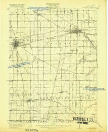
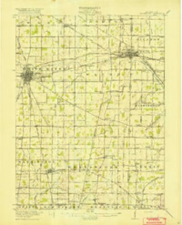
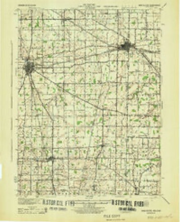
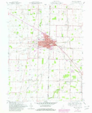
19 topographic sheets cover this place, the earliest surveyed in 1916 and the latest in 1986. It stands in Jackson Township. It lies in ZIP code area 45390. The Survey maps it on the Union City quadrangle. 1,582 people lived here at the 2020 count. It stands 1,109 feet above sea level.
Population over time
2 figuresUnion City fell from 1,666 to 1,582 between 2010 and 2020. These are the recorded population figures Wikidata holds for this place, reached through the Geographic Names Information System number this page is keyed on rather than by name, so they belong to this place and not to another of the same name. Most are census counts, but not all are: an early figure may be a founding or settlement estimate. The change column is computed, and is left blank where more than 20 years separate a figure from the one before it, because a gap that long is not a change between two counts.
| Year | People | Change |
|---|---|---|
| 2010 | 1,666 | |
| 2020 | 1,582 | -84 (-5%) |
Then and now
1916 to 1986The same ground, surveyed 70 years apart. Drag the handle to wipe between them. Both sheets are United States Geological Survey originals; neither has been altered.

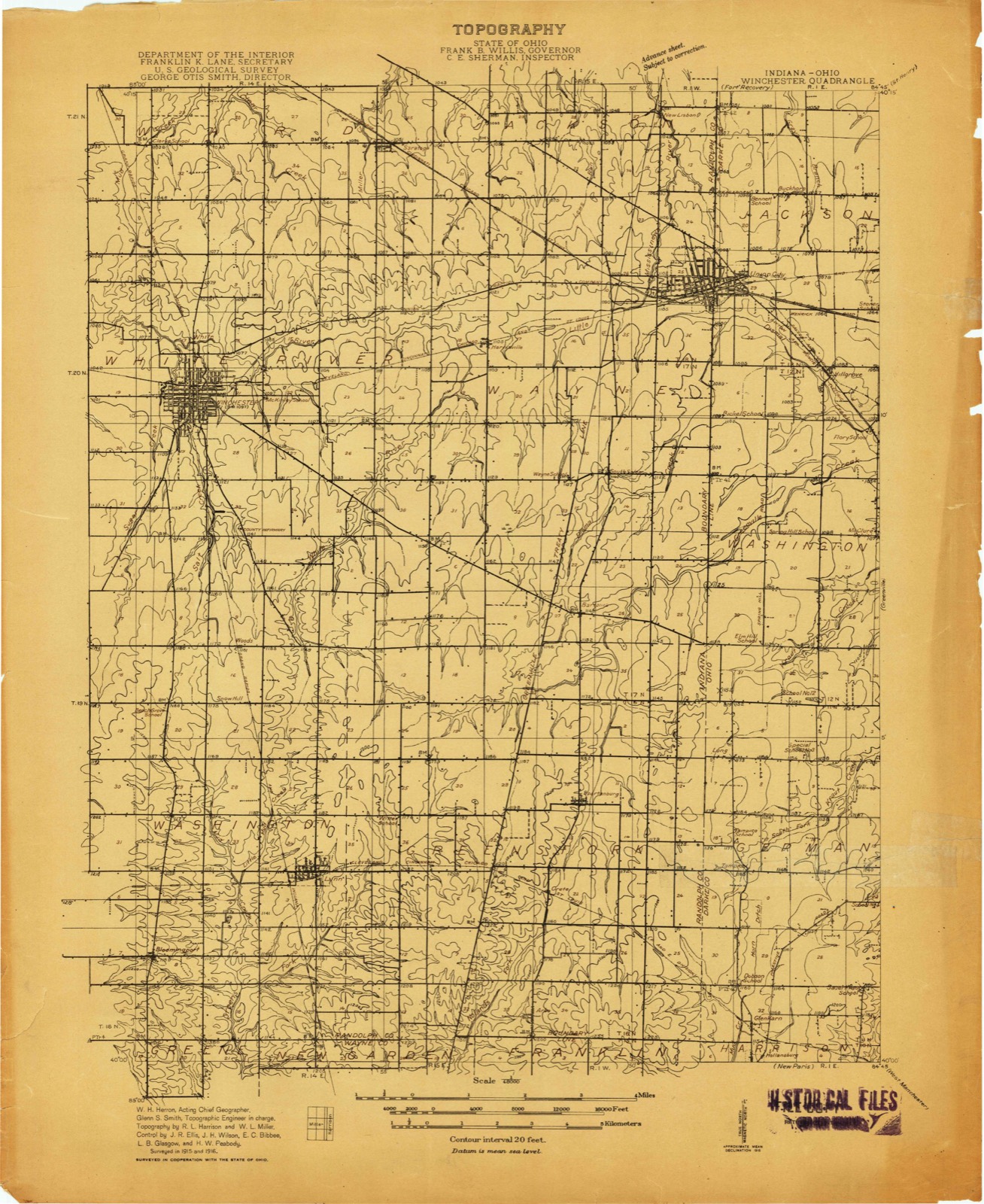
Compare 1916 against another survey:
Topographic sheets covering this place
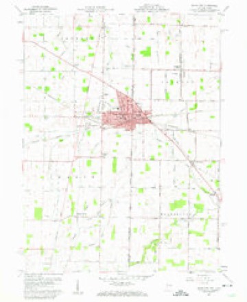
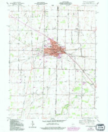
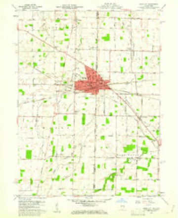
19 sheetsMatched by testing this settlement's coordinate against the published boundary of every sheet in the United States Geological Survey's historical collection. Each opens the scanned sheet at the Survey.
- 1916 USGS Winchester quadrangle1:48000
- 1916 USGS Winchester quadrangle1:62500
- 1916 USGS Winchester quadrangle1:62500
- 1918 USGS Winchester quadrangle1:62500
- 1918 USGS Winchester quadrangle1:62500
- 1943 USGS Winchester quadrangle1:62500
- 1953 USGS Muncie quadrangle1:250000
- 1953 USGS Muncie quadrangle1:250000
- 1953 USGS Muncie quadrangle1:250000
- 1953 USGS Muncie quadrangle1:250000
- 1953 USGS Muncie quadrangle1:250000
- 1956 USGS Muncie quadrangle1:250000
- 1960 USGS Union City quadrangle1:24000
- 1960 USGS Union City quadrangle1:24000
- 1960 USGS Union City quadrangle1:24000
- 1960 USGS Union City quadrangle1:24000
- 1986 USGS Piqua quadrangle1:100000
- 1986 USGS Piqua quadrangle1:100000
- 1986 USGS Piqua quadrangle1:100000









In the county-history sources
10,947 words on this townshipThe History of Darke County, Ohio, Containing a History of the County; Its Cities, Towns, Etc.; General and Local Statistics; Portraits of Early Settlers and Prominent Men;, published 1880 names this settlement in its chapter on Jackson Township. These are the passages that mention it, exactly as the scans read.
In 1831, his brother. William K. Marquis, removing from the old home, joined him in the woods of Jackson, and for two years, or until 1833. these were the only two families in the township, though there were four or five cabins about two miles distant, in the Creviston neighborhood. Washington Township. Kidd Marquis was born in 1794, served during the war of 1812. removed to Jackson, as said, where he died in 1858. His wife, in her eighty-sixth year, is healthy and active, makes journeys of several miles on foot, and possesses her faculties unimpaired. She is a worthy type of the settler's wife, having raised a family of nine children, now grown to maturity and filling honorable positions in life - a marked contrast this to the feeble health of many modern matrons with their one or two children. In 1831. a man named Burns moved in, upon the Reeves Hand place, between Union City and Hillgrove, on the bank of Dismal Creek. In 1833. Frederick Roe came from Fayette County and located upon land adjoining the Marquis clearing on the west, a portion of which is now included in the Union City incorporation.
Passage source: The History of Darke County, Ohio, Containing a History of the County; Its Cities, Towns, Etc.; General and Local Statistics; Portraits of Early Settlers and Prominent Men;, published 1880.
It seems that on organization Jackson Township contained Townships 13, 14 and 15 of Range 1. which were then embraced within the limits of Washington Township. In June, 1836, Township 15 and the north tier of sections of Township 14 were detached from Jackson and named Gibson Township. Three }~ears later, in March, the remainder of Township 14 was formed into Mississinawa Township. Following formation, the settlement of Jackson continued by the entry of lands, and the increase of clearings. In 1834, Hezekiah Fowler arrived with his family from Maryland. He hastily put up a log shed, on the prevailing plan of a " sugar camp," that is, with an open front, and in this rude covering passed the winter. In 1835, Matthias Sawyer entered land where the Archard place now is, north of town. James Marquis, above referred to as the pioneer of Jackson, had three sons, Henry, William and Lewis. The former inhabits the old homestead on Grey's branch. Lewis lives a short distance south of Union City. Ind. William moved to Iowa, in 1858, and died there. The elder Marquis was a Methodist local preacher, and a well-educated man for one who had gained his knowledge by self-application. He gave his attention to medicine, and became in time a very good doctor. Although a Virginian, he was a notable Abolitionist, and spoke upon the subject in both Ohio and Indiana, being at times subjected to vituperation and personal abuse, which he was not backward in resenting.
Passage source: The History of Darke County, Ohio, Containing a History of the County; Its Cities, Towns, Etc.; General and Local Statistics; Portraits of Early Settlers and Prominent Men;, published 1880.
William Dennison was born in Washington Township, and came into Jackson in 1833; settled four miles northeast of Union City, where he entered eighty acres of the southwest quarter of Section 14. He worked at $7 per month, and split rails at 25 cents a hundred, to secure mone}" to pay for his farm. He had seven children, and died April 19, 1853.
Passage source: The History of Darke County, Ohio, Containing a History of the County; Its Cities, Towns, Etc.; General and Local Statistics; Portraits of Early Settlers and Prominent Men;, published 1880.
Machine-read from a century-old scan, so expect the errors a machine makes: misspelled names, dropped words, stray characters.
Read the whole chapter on Jackson Township - it names this place 30 more 30 times.
Specimens collected near this place
12 of 269 shownRegional context, not property-specific evidence. Museums hold 269 specimens collected within 10 miles of Union City between 1915 and 1964: 255 Animalia, 12 Plantae, 2 Fungi. 12 distinct Species records are shown. Collected by A VERWYST, Alexander, B. Montgomery and others. Each is a physical object with a catalogue number, and each entry opens the museum's record. This is what was collected and kept, not a survey of what lives here - nothing can be concluded from a species being absent.
| Image | Species | Year | Collected by | Where, as recorded |
|---|---|---|---|---|
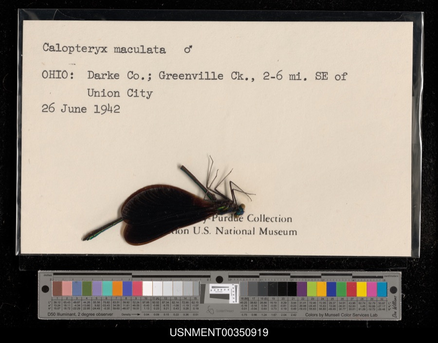 | Calopteryx maculata (Palisot de Beauvois, 1807) | 1942 | [Not Stated] | Greenville Creek, 2-6 miles southeast of Union City |
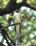 | Contopus virens (Linnaeus, 1766) | 1915 | Householder, V. | Ausonia, 3 mi W |
 | Falco sparverius sparverius Linnaeus, 1758 | 1915 | Householder, V. | Ansonia, 1 mi E |
 | Geothlypis trichas (Linnaeus, 1766) | 1915 | Householder, V. | Ausonia, 1 mi. E |
 | Melanerpes erythrocephalus (Linnaeus, 1758) | 1915 | Householder, V. | Ansonia, 1 mi E |
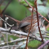 | Melospiza melodia melodia (A.Wilson, 1810) | 1915 | Householder, V. | Ansonia |
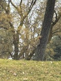 | Tamiasciurus hudsonicus loquax (Bangs, 1896) | 1915 | V H Housholder | ANSONIA, 1 MI E OF |
 | Sciurus niger rufiventer É.Geoffroy Saint-Hilaire, 1803 | 1916 | M A Housholder | ANSONIA |
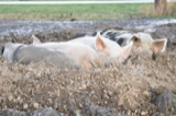 | Sus scrofa Linnaeus, 1758 | 1917 | V H Housholder | ANSONIA |
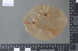 | Fusarium culmorum (Wm.G.Sm.) Sacc. | 1919 | Lewis H. L. | Union City |
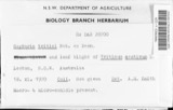 | Septoria tritici Roberge | 1919 | Lewis H. L. | Union City |
 | Etheostoma blennioides Rafinesque, 1819 | 1929 | MB Trautman | Stillwater River, NE corner of Brown Twnp |
All 269 specimens within 10 miles, at the Global Biodiversity Information Facility.
Storms near this place
29 since 1996Regional context, not property-specific evidence. The National Weather Service names Union City in 29 storm reports between 1996 and 2026: 22 thunderstorm wind, 4 hail, 1 flash flood, 1 lightning. The reports record 1 injury. Each account below is quoted exactly as the forecast office filed it, from the NOAA Storm Events Database, and each date opens the federal record of that event.
| When | Event | Place named | Harm | What the report says |
|---|---|---|---|---|
| June 2002 | Lightning | Union City | 1 hurt | no account filed |
| July 2011 | Thunderstorm Wind | Union City | $60,000 | Barns were damaged extensively. An agricultural hopper was moved approximately 1000 feet. Large trees and limbs were snapped in several locations. Corn fields were flattened. Vegetation was removed from a 30 foot area in a farm field. These occurrences were due to damaging thunderstorm winds. The wind speed was estimated by the damage assessment. |
| August 2000 | Thunderstorm Wind | Union City | $30,000 | Numerous trees and large limbs were knocked down in many locations across the county, including Hollansburg, New Madison,Versailles, Union City and Arcanum. One tree fell on a house in Arcanum. |
| April 2006 | Thunderstorm Wind | Union City | $10,000 | Part of a roof was torn off of an old school building. |
| September 2002 | Thunderstorm Wind | Union City | $10,000 | A 30-foot high wall on a livestock building collapsed on the outskirts of town. |
| July 1999 | Thunderstorm Wind | Union City | $10,000 | Numerous trees and power lines downed. |
| June 2021 | Thunderstorm Wind | Union City | $8,000 | Several trees were downed in the Union City area. |
| June 2008 | Thunderstorm Wind | Union City | $6,000 | A portable toilet was knocked down and pieces of insulation were found strewn throughout the immediate area. |
| January 2008 | Thunderstorm Wind | Union City | $5,000 | Numerous trees and power poles knocked down. |
| June 2002 | Thunderstorm Wind | Union City | $5,000 | Strong winds were responsible for a tree falling on a building in town, causing some minor damage. |
| May 2000 | Thunderstorm Wind | Union City | $5,000 | Numerous trees downed. |
| June 2002 | Hail | Union City | $5,000 | no account filed |
| October 1996 | Thunderstorm Wind | Union City | $5,000 | no account filed |
| June 2006 | Thunderstorm Wind | Union City | $4,000 | Trees and numerous large limbs were knocked down. |
| April 2026 | Thunderstorm Wind | Union City | $3,000 | A few trees were downed. |
| June 2006 | Thunderstorm Wind | Union City | $3,000 | A few power poles were knocked down. |
| November 2004 | Thunderstorm Wind | Union City | $3,000 | Large limbs and power lines were downed. |
| May 2015 | Thunderstorm Wind | Union City | $1,000 | One tree was downed. |
| May 2015 | Thunderstorm Wind | Union City | $1,000 | One tree was downed. |
| December 2013 | Flood | Union City | - | Numerous roads remained closed across the county due to high water caused by heavy rainfall. |
| April 2001 | Hail | Union City | - | The thunderstorm also knocked down trees and power lines. |
| August 2001 | Flash Flood | Union City | - | Roads flooded by heavy rainfall. |
| August 2001 | Thunderstorm Wind | Union City | - | Numerous large limbs and power lines knocked down. |
| November 2013 | Thunderstorm Wind | Union City | - | no account filed |
| December 2013 | Thunderstorm Wind | Union City | - | no account filed |
| April 2006 | Hail | Union City | - | no account filed |
| June 2006 | Hail | Union City | - | no account filed |
| May 2002 | Thunderstorm Wind | Union City | - | no account filed |
| July 2002 | Thunderstorm Wind | Union City | - | no account filed |
Nearest settlements
The eight closest, with where each one stands in the county. Distances are straight-line, computed from the Geographic Names Information System coordinates.
| Map | Place | Distance | Sheets |
|---|---|---|---|
| Buckhorn Corner | 2.3 miles | 19 | |
| Hill Grove | 2.5 miles | 19 | |
| Hunchberger Corners | 3.5 miles | 11 | |
| Hetzlerville (historical) | 4.1 miles | 11 | |
| Roe Corners | 4.1 miles | 11 | |
| Cosmos | 4.9 miles | 16 | |
| Sharps Crossing | 5.1 miles | 11 | |
| Elroy | 5.1 miles | 11 |
Elsewhere
Matched on this settlement's Geographic Names Information System number rather than its name, so it cannot be a different place of the same name in another state.
| Wikipedia article on Union City | An encyclopaedic summary. Its text is share-alike, so it is linked here rather than copied. |
| Wikidata item Q265818 | The structured record the population and elevation above come from. Public domain (CC0). |
Provenance
This settlement is recorded in the Geographic Names Information System as feature 1058089. The sheet list is computed by point-in-boundary test against the United States Geological Survey's historical topographic inventory. Both are works of the United States government and carry no copyright under 17 U.S.C. 105.
Specimens. Global Biodiversity Information Facility (GBIF), https://www.gbif.org/. Only records licensed CC0 or CC BY are used. Records licensed CC BY-NC are excluded because this site carries advertising. Images are checked individually and any whose licence is non-commercial, no-derivatives or unreadable is refused.
Storms. NOAA National Centers for Environmental Information, Storm Events Database https://www.ncei.noaa.gov/stormevents/ A work of the United States government, no copyright under 17 U.S.C. 105. Narratives are quoted verbatim from the National Weather Service report and are not edited or summarised.