 Block
Island, Massachusetts
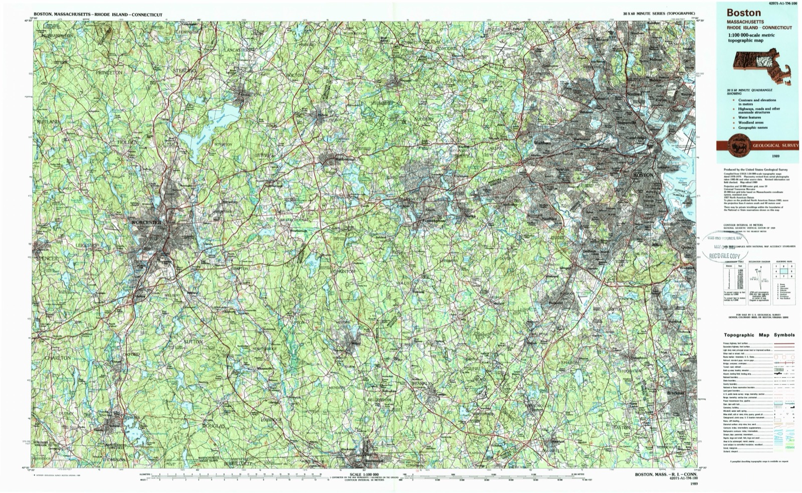
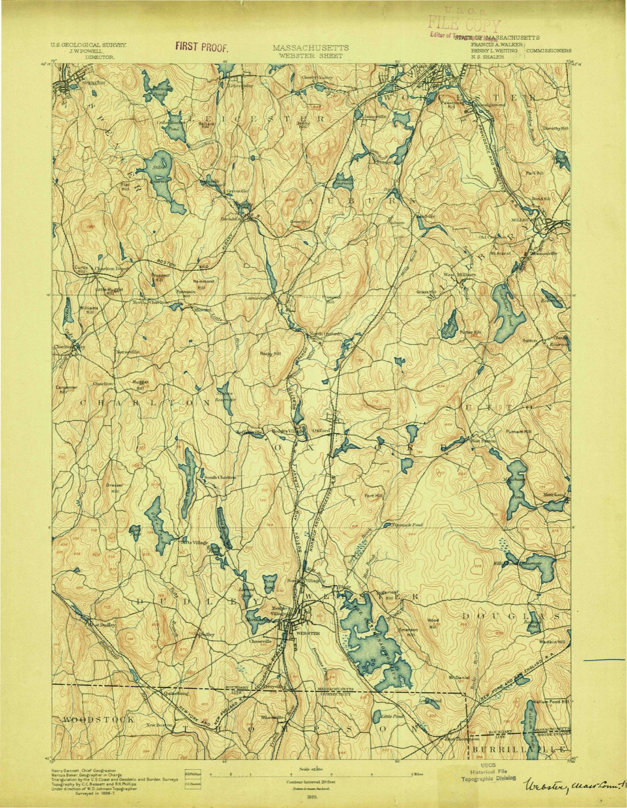
44 topographic sheets cover this place, the earliest surveyed in 1889 and the latest in 1989. It stands in Worcester City. It lies in ZIP code area 01610. It stands on Pratt Brook. The Survey maps it on the Worcester South quadrangle.
Then and now
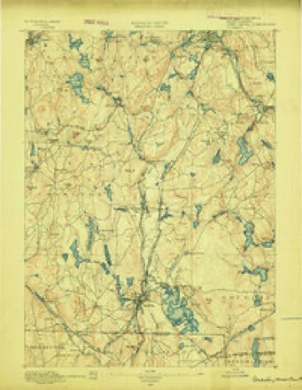
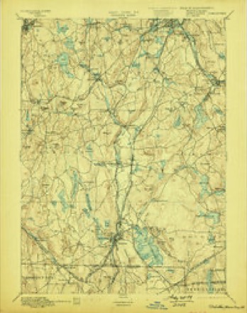
1889 to 1989The same ground, surveyed 100 years apart. Drag the handle to wipe between them. Both sheets are United States Geological Survey originals; neither has been altered.
On record in Island
Buildings and businesses the archive holds for this place. Each opens its own page, with the source record it came from.
On the National Register within a mile 12 of 107 shown
The National Register names another town for these. They stand within one mile of this settlement's coordinate.
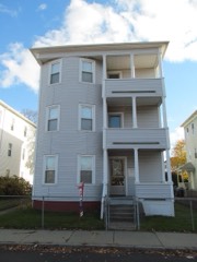 John Troupes Three-Deckerlisted 1990 · 0.1 miles away
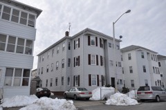 O'Connor, James-John Trybowski Three-Deckerlisted 1990 · 0.1 miles away
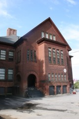 Ward Street School-Millbury Streetlisted 1980 · 0.2 miles away
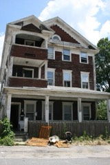 Andrew McCarron Three-Deckerlisted 1990 · 0.2 miles away
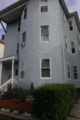 James O'Connor Three-Deckerlisted 1990 · 0.3 miles away
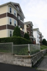 Perry Avenue Historic Districtlisted 1990 · 0.3 miles away
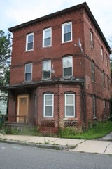 John Mark Three-Deckerlisted 1990 · 0.3 miles away
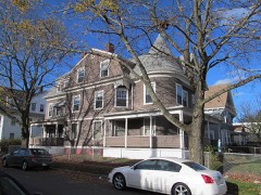 Euclid Avenue-Montrose Street Historic Districtlisted 1990 · 0.3 miles away
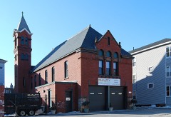 Cambridge Street Firehouselisted 1980 · 0.4 miles away
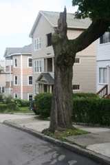 View Street Historic Districtlisted 1990 · 0.4 miles away
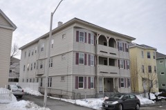 Patrick McGuinness Three-Deckerlisted 1990 · 0.4 miles away
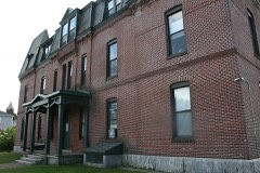 Cambridge Street Schoollisted 1980 · 0.4 miles away
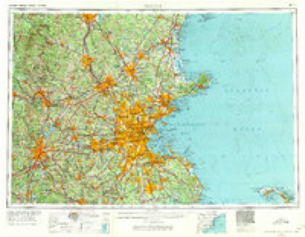
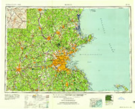
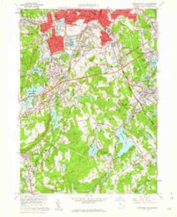
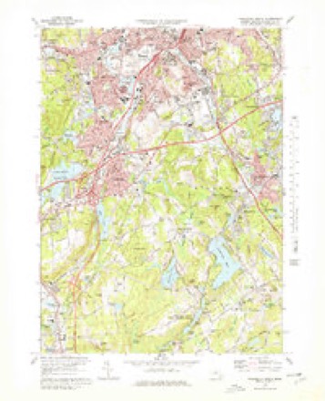
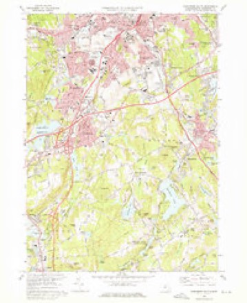
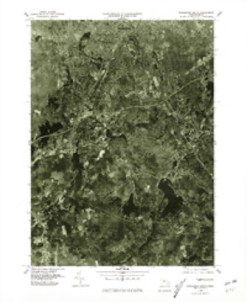
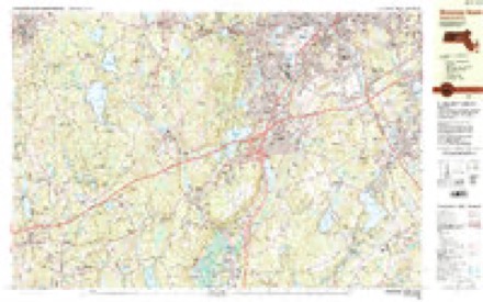
Topographic sheets covering this place
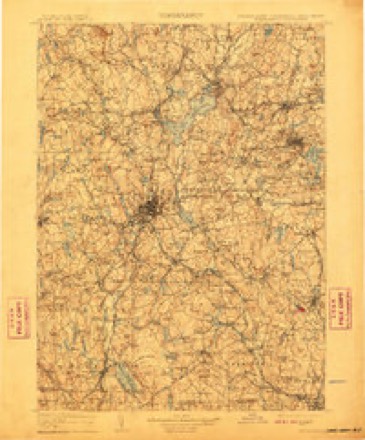
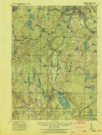
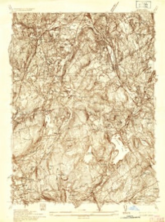
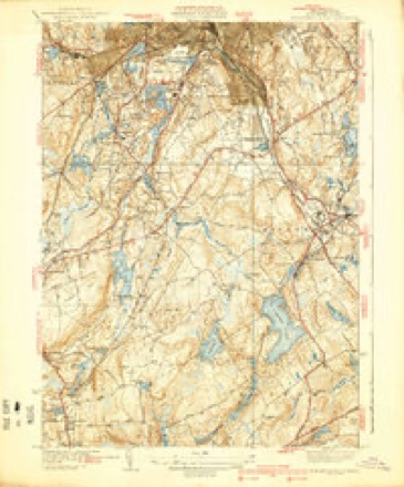
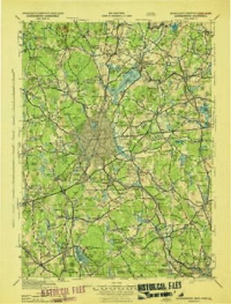
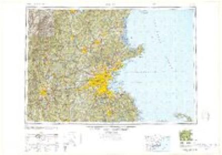
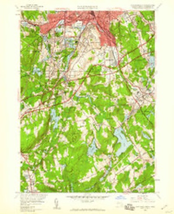
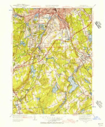
20 surveys from 44 printed sheetsMatched by testing this settlement's coordinate against the published boundary of every sheet in the United States Geological Survey's historical collection. Each opens the scanned sheet at the Survey.
- 1889 USGS Webster quadrangle1:62500
- 1892 USGS Webster quadrangle1:62500, 9 printings
- 1908 USGS Quinsigamond quadrangle1:125000, 3 printings
- 1921 USGS Webster quadrangle1:62500
- 1935 USGS Millbury quadrangle1:24000
- 1939 USGS Worcester South quadrangle1:31680, 4 printings
- 1943 USGS Quinsigamond quadrangle1:125000
- 1948 USGS Boston quadrangle1:250000, 2 printings
- 1948 USGS Worcester South quadrangle1:24000
- 1948 USGS Worcester South quadrangle1:31680
- 1956 USGS Boston quadrangle1:250000, 6 printings
- 1958 USGS Boston quadrangle1:250000, 2 printings
- 1960 USGS Worcester South quadrangle1:24000, 2 printings
- 1961 USGS Boston quadrangle1:250000, 2 printings
- 1973 USGS Worcester South quadrangle1:25000
- 1973 USGS Worcester South quadrangle1:24000
- 1975 USGS Worcester South quadrangle1:25000
- 1983 USGS Worcester South quadrangle1:25000, 2 printings
- 1985 USGS Boston quadrangle1:100000
- 1989 USGS Boston quadrangle1:100000, 2 printings
In the county-history sources
37,512 words on this townshipHistory of Worcester County, Massachusetts : with Biographical Sketches of Many of Its Pioneers and Prominent Men., published 1889 names this settlement in its chapter on Worcester City. These are the passages that mention it, exactly as the scans read.
But there were three serious drawbacks to the prosperity and profits of the canal, which soon made it unpopular with most of its stockholders and patrons. Unfortunately, a portion of the canal was located in the Blackstone River, and boats were more or less delayed in high, and also in low water, and in some seasons for weeks were detained with goods which were wanted for immediate use or sale. In some years the canal was for four or five months closed with ice. In a season of drought the manufacturers were jealous of the boatmen drawing so much water, and on several occasions in Rhode Island the owners of the mills and of the water-power ordered large loads of stone tipped into the canal-locks to prevent the boats from passing, which almost excited a riot among the boatmen, and some of the millowners were afraid their mills would be fired, as they had been threatened.'
Passage source: History of Worcester County, Massachusetts : with Biographical Sketches of Many of Its Pioneers and Prominent Men., published 1889.
The question of a railroad between Providence and Worcester, a distance of forty-three miles, was seriously discussed as early as 1837, but nothing was done for several years. In August, 1845, the enterprise came nearly to a stand-still, although eight hundred thousand dollars had been subscribed under the Rhode Island charter and one hundred thousand dollars under the Massachusetts charter; but the Rhode Island charter required that the whole capital of one million dollars should be taken up before the company could proceed. The amount was linally raised, and a consolidation was effected November 4, 1845, of the Massachusetts and Rhode Island Companies, each of which was chartered in 1844. The main line was opened in October, 1847, when a train, made up of nine covered cars and twelve or thirteen open cars, drawn by three powerful engines, arrived in Worcester with twelve hundred passengers from Providence and towns on the line.
Passage source: History of Worcester County, Massachusetts : with Biographical Sketches of Many of Its Pioneers and Prominent Men., published 1889.
The coal was said to be of the same variety as the Rhode Island, Schuylkill and Lehigh coal, and was found, according to statements then made, to ignite easier than any of them and to burn longer. Careful comparisons were made of the relative value of these different varieties and the result, with a given quantity of each, showed as follows :
Passage source: History of Worcester County, Massachusetts : with Biographical Sketches of Many of Its Pioneers and Prominent Men., published 1889.
Machine-read from a century-old scan, so expect the errors a machine makes: misspelled names, dropped words, stray characters.
Read the whole chapter on Worcester City - it names this place 5 more 5 times.
Fires near this place
69 since 2015Regional context, not property-specific evidence. The federal wildfire occurrence database lists 69 fires within 5 miles of Island between 2015 and 2020, burning about 54 acres in total. None started naturally. 7 were recorded as arson. Distance is straight-line from the map coordinates, so a fire counted here may appear on a neighbouring settlement's page as well.
| Reported cause | Fires |
|---|---|
| Debris and open burning | 21 |
| Smoking | 15 |
| Recreation and ceremony | 14 |
| Missing data/not specified/undetermined | 7 |
| Arson/incendiarism | 7 |
| Railroad operations and maintenance | 2 |
| Misuse of fire by a minor | 1 |
| Power generation/transmission/distribution | 1 |
| Equipment and vehicle use | 1 |
The most recent of them, most recent first, with the day each was reported and the service that recorded it.
| Date | Cause | Size | Reported by | Name on the report |
|---|---|---|---|---|
| 8 September 2015 | Smoking | under an acre | Massachusetts Bureau of Forest Fire Control | not named |
| 3 September 2018 | Debris and open burning | under an acre | Massachusetts Bureau of Forest Fire Control | not named |
| 3 September 2018 | Debris and open burning | under an acre | Massachusetts Bureau of Forest Fire Control | not named |
| 14 September 2016 | Debris and open burning | under an acre | Massachusetts Bureau of Forest Fire Control | not named |
| 26 August 2020 | Smoking | under an acre | Massachusetts Bureau of Forest Fire Control | not named |
| 13 August 2020 | Missing data/not specified/undetermined | under an acre | Massachusetts Bureau of Forest Fire Control | not named |
| 6 July 2015 | Misuse of fire by a minor | under an acre | Massachusetts Bureau of Forest Fire Control | not named |
| 5 June 2020 | Debris and open burning | under an acre | Massachusetts Bureau of Forest Fire Control | not named |
Settlements close enough to share some of these fires:
Specimens collected near this place
12 of 1,706 shownRegional context, not property-specific evidence. Museums hold 1,706 specimens collected within 10 miles of Island between 1839 and 1974: 1,011 Plantae, 400 Animalia, 271 Fungi, 16 Unrecorded, 6 Protozoa, 2 Chromista. 12 distinct Species records are shown. Collected by A E WOODHEAD, A. A. Eaton, A. B. Seymour and others. Each is a physical object with a catalogue number, and each entry opens the museum's record. This is what was collected and kept, not a survey of what lives here - nothing can be concluded from a species being absent.
| Image | Species | Year | Collected by | Where, as recorded |
|---|---|---|---|---|
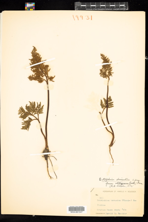 | Sceptridium dissectum (Spreng.) Lyon | 1899 | H. H. Scudder | |
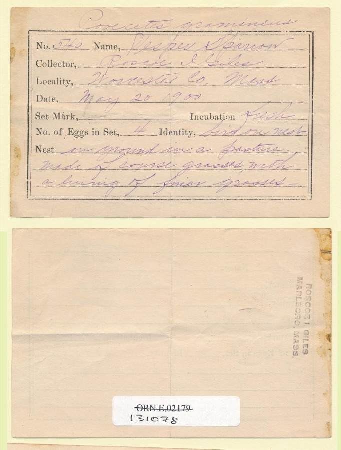 | Pooecetes gramineus gramineus (J.F.Gmelin, 1789) | 1900 | Roscoe I. Giles | |
 | Ochrolechia tartarea (L.) A.Massal. | 1839 | E. Tuckerman | |
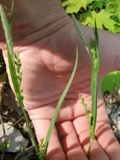 | Carex laxiflora Lam. | 1840 | Thomas Nuttall | Cambridge. |
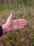 | Carex vestita Willd. | 1840 | Thomas Nuttall | Cambridge. |
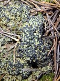 | Mycobilimbia hypnorum (Lib.) Kalb & Hafellner | 1848 | E. Tuckerman | |
 | Tamias striatus lysteri (Richardson, 1829) | 1848 | L Agassiz | PARSONS ISLAND |
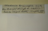 | Cladonia cornucopioides F.Wilson | 1850 | J. L. Russell | Leicester |
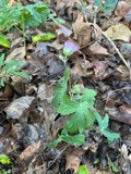 | Geranium maculatum L. | 1850 | not recorded | |
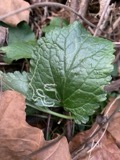 | Packera aurea (L.) Á.Löve & D.Löve | 1850 | not recorded | |
| Elymus repens (L.) Gould | 1892 | Arthur B. Seymour | Cambridge. | |
| Festuca pratensis Huds. | 1892 | Arthur B. Seymour | Cambridge. |
All 1,706 specimens within 10 miles, at the Global Biodiversity Information Facility.
Mines and quarries near this place
10 of 15 shownRegional context, not property-specific evidence. The federal mineral resources record lists 15 workings within 5 miles of Island: 10 past producers, 3 producers, 2 plants. 5 still produce. What was taken out: Sand and Gravel, Construction, Iron, Lead, Stone. Distance is straight-line from the map coordinates, so a quarry counted here may appear on a neighbouring settlement's page as well.
| Where | Site | Commodity | Status | Recorded |
|---|---|---|---|---|
| Bd Bloomfield Co--Worcester, Ma. | Lead | Plant | ||
| Crucible Spec. Metals--Auburn, Ma. | Iron | Plant | ||
| Shrewsbury Trap Rock | Stone | Producer | ||
| 30 Southwest Cutoff Plant | Sand and Gravel, Construction | Producer | ||
| Auburn Pit | Sand and Gravel, Construction | Past Producer | ||
| Capa Corporation | Sand and Gravel, Construction | Past Producer | ||
| Crossover Pit | Sand and Gravel, Construction | Past Producer | ||
| Donald P Graves Sand and Gravel | Sand and Gravel, Construction | Past Producer | Sedimentary | |
| F Ang G Sand and Gravel | Sand and Gravel, Construction | Past Producer | Sedimentary | |
| F and G Pit | Sand and Gravel, Construction | Producer |
Nearest settlements
The eight closest, with where each one stands in the county. Distances are straight-line, computed from the Geographic Names Information System coordinates.
| Map | Place | Distance | Sheets |
|---|---|---|---|
| Vernon Hill | 0.3 miles | 44 | |
| Cambridge | 0.5 miles | 44 | |
| South Worcester | 0.6 miles | 44 | |
| University Park | 0.7 miles | 45 | |
| Union Hill | 0.7 miles | 45 | |
| Rice Square | 0.8 miles | 44 | |
| College Hill | 1.0 miles | 44 | |
| Worcester | 1.1 miles | 45 |
Provenance
This settlement is recorded in the Geographic Names Information System as feature 610640. The sheet list is computed by point-in-boundary test against the United States Geological Survey's historical topographic inventory. Both are works of the United States government and carry no copyright under 17 U.S.C. 105.
Wildfire. Short, Karen C. 2022. Spatial wildfire occurrence data for the United States, 1992-2020 [FPA_FOD_20221014]. 6th Edition. Fort Collins, CO: Forest Service Research Data Archive. https://doi.org/10.2737/RDS-2013-0009.6 Collected with United States Government funding and usable without additional permissions or fees.
Specimens. Global Biodiversity Information Facility (GBIF), https://www.gbif.org/. Only records licensed CC0 or CC BY are used. Records licensed CC BY-NC are excluded because this site carries advertising. Images are checked individually and any whose licence is non-commercial, no-derivatives or unreadable is refused.
Mines and quarries. USGS Mineral Resources Data System (MRDS) https://mrdata.usgs.gov/mrds/ A work of the United States government, no copyright under 17 U.S.C. 105.