 Block
Block
Worcester, Massachusetts
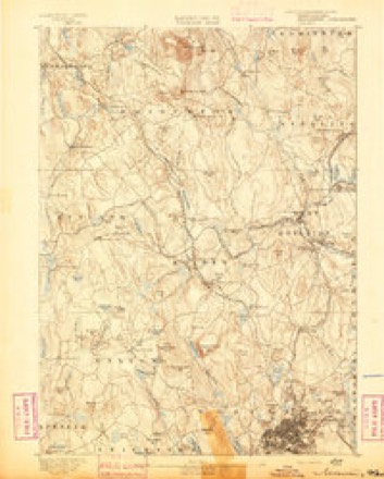
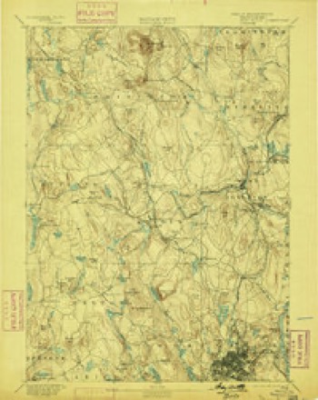
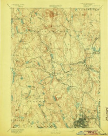
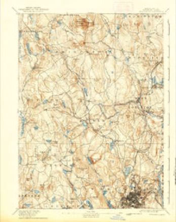
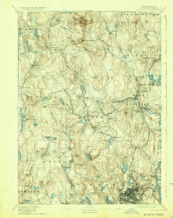
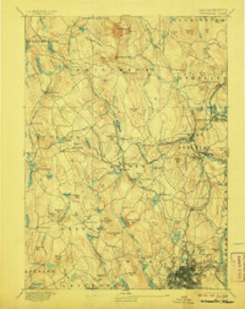
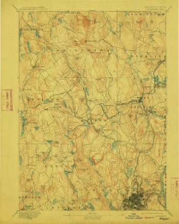
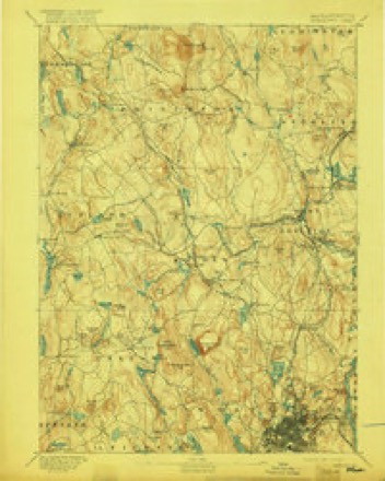
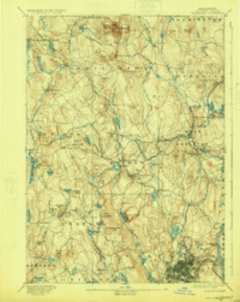
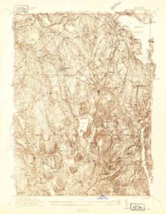
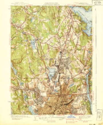
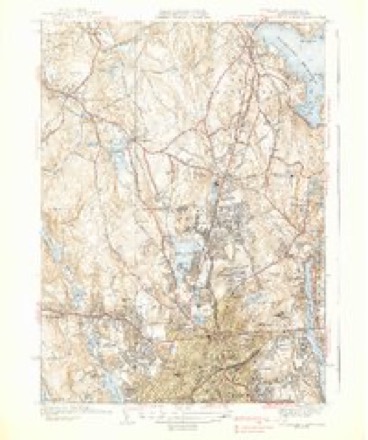
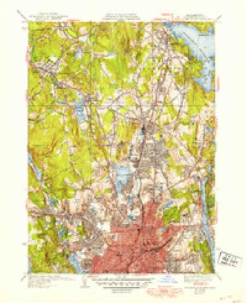
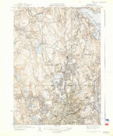
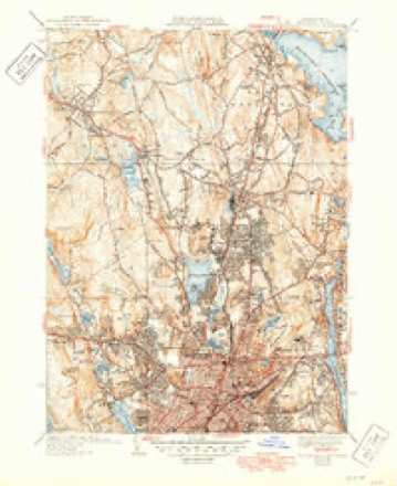
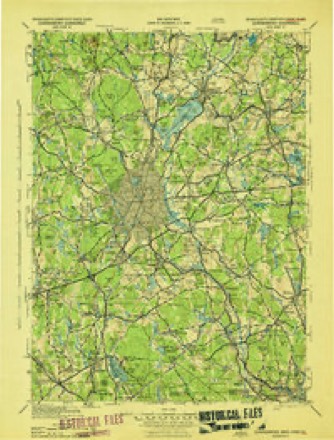
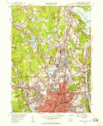
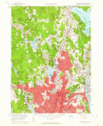
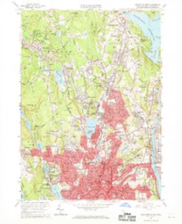
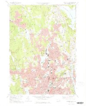
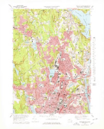
45 topographic sheets cover this place, the earliest surveyed in 1885 and the latest in 1989. It stands in Worcester City. It lies in ZIP code area 01608. It stands on Belmont Hill. The Survey maps it on the Worcester North quadrangle. 206,518 people lived here at the 2020 count. It stands 479 feet above sea level.
Research this city
This curated hub for Worcester County, Massachusetts brings together the page's documented record links, visible map or image evidence where published, and routes to related local records.
What is documented here?
Use the page's provenance and linked records to distinguish the source material from the site's navigation and summaries.
How should I cite it?
Open the original record, preserve its repository and identifier, then use the citation tool for this page as a path back to the source.
Where should I go next?
Follow the county or state hub for related places and records, then use the guide for a source-aware research sequence.
Population over time
3 figuresWorcester grew from 181,045 to 206,518 between 2010 and 2020. These are the recorded population figures Wikidata holds for this place, reached through the Geographic Names Information System number this page is keyed on rather than by name, so they belong to this place and not to another of the same name. Most are census counts, but not all are: an early figure may be a founding or settlement estimate. The change column is computed, and is left blank where more than 20 years separate a figure from the one before it, because a gap that long is not a change between two counts.
| Year | People | Change |
|---|---|---|
| 2010 | 181,045 | |
| 2014 | 183,016 | +1,971 (+1%) |
| 2020 | 206,518 | +23,502 (+13%) |
Then and now
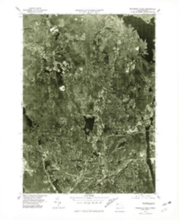
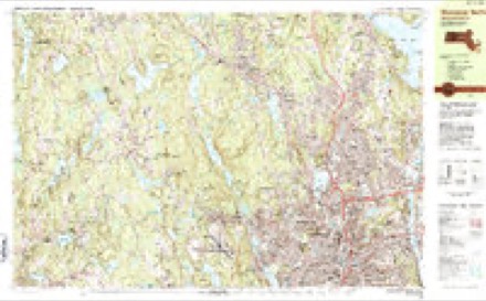
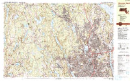
1885 to 1989The same ground, surveyed 104 years apart. Drag the handle to wipe between them. Both sheets are United States Geological Survey originals; neither has been altered.

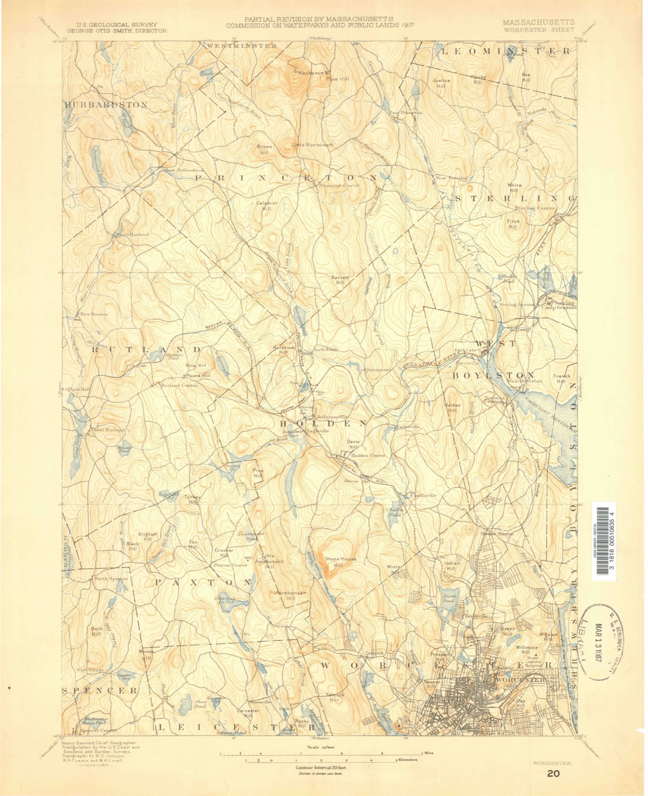
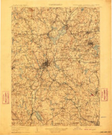
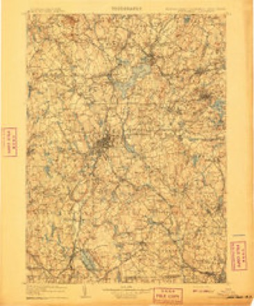
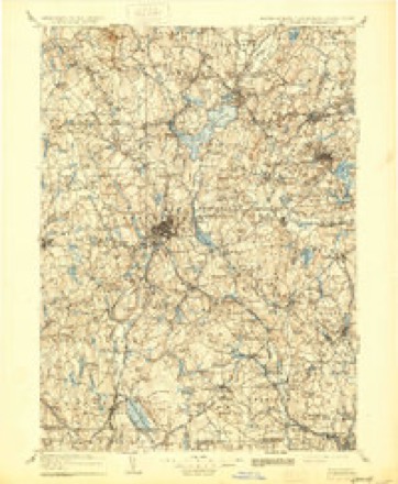
Topographic sheets covering this place
45 sheetsMatched by testing this settlement's coordinate against the published boundary of every sheet in the United States Geological Survey's historical collection. Each opens the scanned sheet at the Survey.
- 1885 USGS Worcester quadrangle1:62500
- 1886 USGS Worcester quadrangle1:62500
- 1892 USGS Worcester quadrangle1:62500
- 1892 USGS Worcester quadrangle1:62500
- 1892 USGS Worcester quadrangle1:62500
- 1892 USGS Worcester quadrangle1:62500
- 1892 USGS Worcester quadrangle1:62500
- 1892 USGS Worcester quadrangle1:62500
- 1892 USGS Worcester quadrangle1:62500
- 1892 USGS Worcester quadrangle1:62500
- 1892 USGS Worcester quadrangle1:62500
- 1892 USGS Worcester quadrangle1:62500
- 1908 USGS Quinsigamond quadrangle1:125000
- 1908 USGS Quinsigamond quadrangle1:125000
- 1908 USGS Quinsigamond quadrangle1:125000
- 1934 USGS Worcester quadrangle1:24000
- 1939 USGS Worcester North quadrangle1:31680
- 1939 USGS Worcester North quadrangle1:31680
- 1939 USGS Worcester North quadrangle1:31680
- 1939 USGS Worcester North quadrangle1:31680
- 1939 USGS Worcester North quadrangle1:31680
- 1943 USGS Quinsigamond quadrangle1:125000
- 1948 USGS Boston quadrangle1:250000
- 1948 USGS Boston quadrangle1:250000
- 1948 USGS Worcester North quadrangle1:24000
- 1956 USGS Boston quadrangle1:250000
- 1956 USGS Boston quadrangle1:250000
- 1956 USGS Boston quadrangle1:250000
- 1956 USGS Boston quadrangle1:250000
- 1956 USGS Boston quadrangle1:250000
- 1956 USGS Boston quadrangle1:250000
- 1958 USGS Boston quadrangle1:250000
- 1958 USGS Boston quadrangle1:250000
- 1960 USGS Worcester North quadrangle1:24000
- 1960 USGS Worcester North quadrangle1:24000
- 1961 USGS Boston quadrangle1:250000
- 1961 USGS Boston quadrangle1:250000
- 1974 USGS Worcester North quadrangle1:24000
- 1974 USGS Worcester North quadrangle1:25000
- 1975 USGS Worcester North quadrangle1:25000
- 1983 USGS Worcester North quadrangle1:25000
- 1983 USGS Worcester North quadrangle1:25000
- 1985 USGS Boston quadrangle1:100000
- 1989 USGS Boston quadrangle1:100000
- 1989 USGS Boston quadrangle1:100000















What happened here
An account from the chapter on Worcester city, in the words of 1889.
History Op W0R0E3Ter County, Massachusetts
of war, generally proved faithful to the English, and their services as scouts were invaluable. Among these none deserves better to be honored in Lancaster story than James Wiser, alias Quanapaug or Quanapohit, whose courage and fidelity would have saved the town from the massacre of 1676, had not his timely warning been unwisely discredited by the apparently lethargic Governor and his slumberous Council.
Photographs
8 photographs, 1938Taken for the Office of War Information and the Farm Security Administration, who photographed the country between 1935 and 1944. Works of United States government photographers, with no known restriction on use. Each opens its catalogue record.
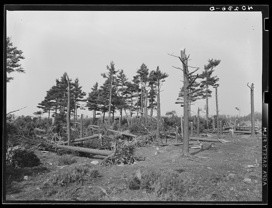
Dick, Sheldon, photographer, 1938. Library of Congress
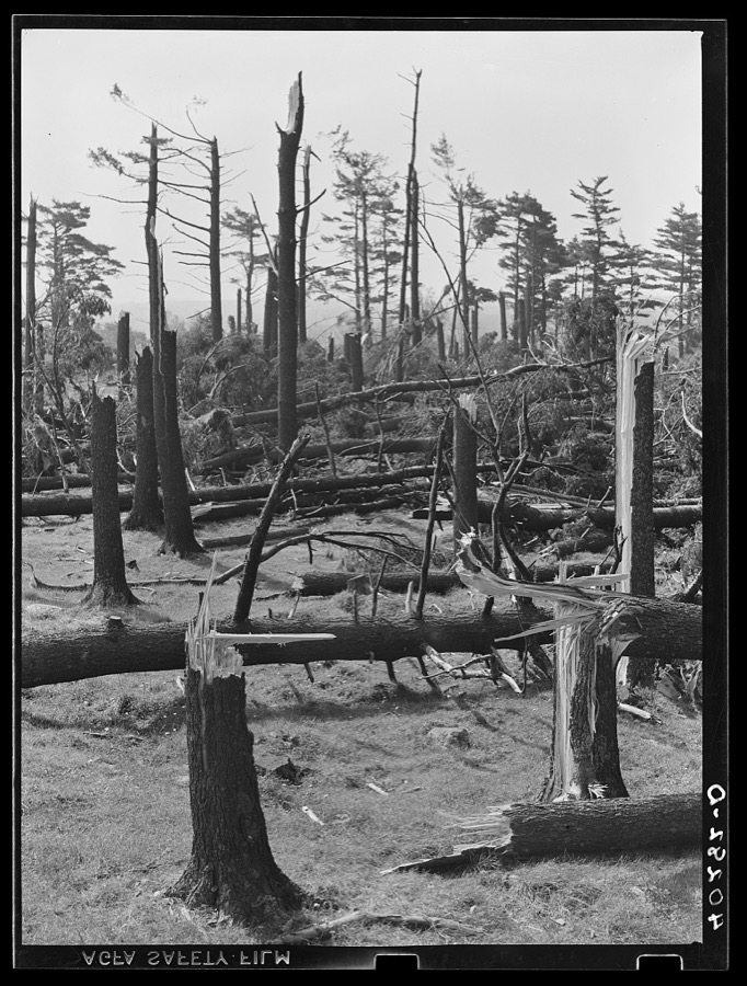
Dick, Sheldon, photographer, 1938. Library of Congress
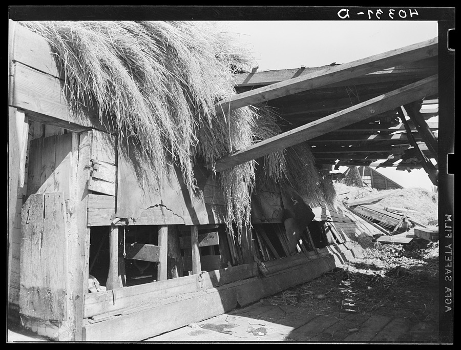
Dick, Sheldon, photographer, 1938. Library of Congress
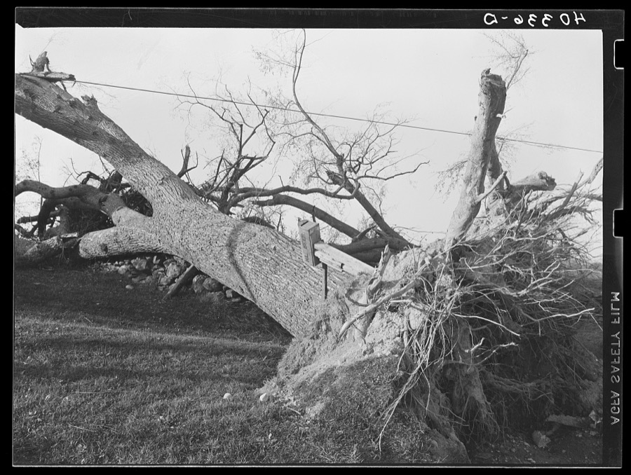
Dick, Sheldon, photographer, 1938. Library of Congress
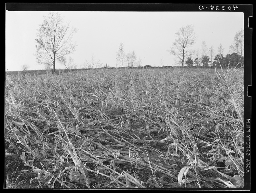
Dick, Sheldon, photographer, 1938. Library of Congress
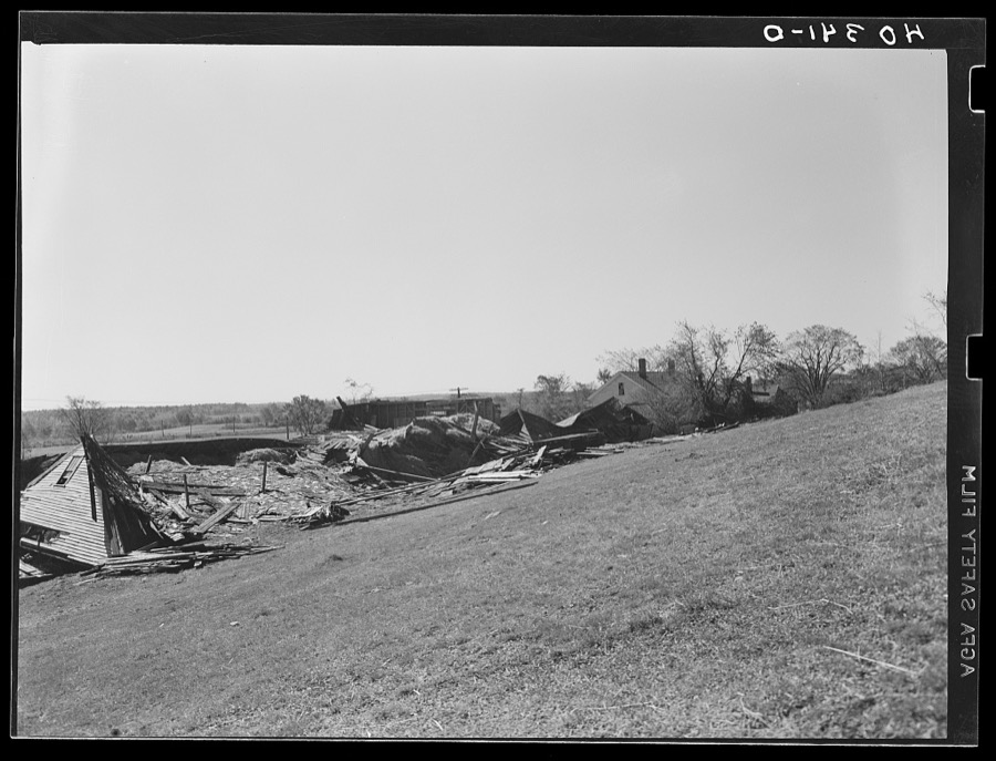
Dick, Sheldon, photographer, 1938. Library of Congress
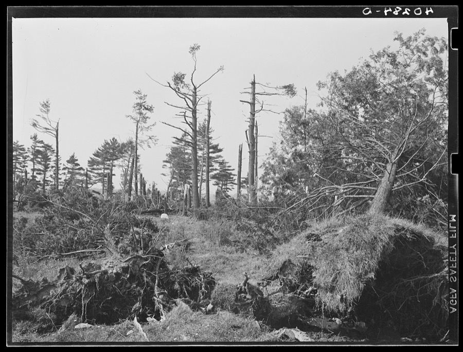
Dick, Sheldon, photographer, 1938. Library of Congress
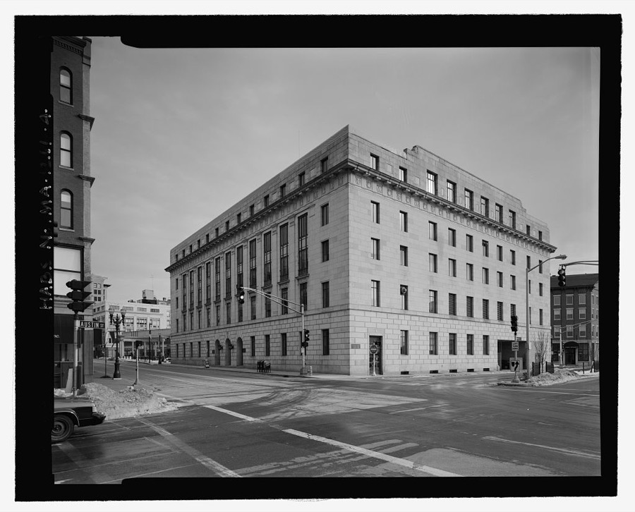
Unattributed, . Library of Congress
Fires nearby
63 since 2015The federal wildfire occurrence database lists 63 fires within 5 miles of Worcester between 2015 and 2020, burning about 55 acres in total. None started naturally. 8 were recorded as arson. Distance is straight-line from the map coordinates, so a fire counted here may appear on a neighbouring settlement's page as well.
| Reported cause | Fires |
|---|---|
| Debris and open burning | 23 |
| Smoking | 12 |
| Recreation and ceremony | 9 |
| Missing data/not specified/undetermined | 8 |
| Arson/incendiarism | 8 |
| Railroad operations and maintenance | 1 |
| Power generation/transmission/distribution | 1 |
| Equipment and vehicle use | 1 |
The most recent of them, most recent first, with the day each was reported and the service that recorded it.
| Date | Cause | Size | Reported by | Name on the report |
|---|---|---|---|---|
| 3 September 2018 | Debris and open burning | under an acre | Massachusetts Bureau of Forest Fire Control | not named |
| 3 September 2018 | Debris and open burning | under an acre | Massachusetts Bureau of Forest Fire Control | not named |
| 14 September 2016 | Debris and open burning | under an acre | Massachusetts Bureau of Forest Fire Control | not named |
| 26 August 2020 | Smoking | under an acre | Massachusetts Bureau of Forest Fire Control | not named |
| 13 August 2020 | Missing data/not specified/undetermined | under an acre | Massachusetts Bureau of Forest Fire Control | not named |
| 24 July 2018 | Debris and open burning | under an acre | Massachusetts Bureau of Forest Fire Control | not named |
| 21 July 2020 | Smoking | under an acre | Massachusetts Bureau of Forest Fire Control | not named |
| 5 June 2020 | Debris and open burning | under an acre | Massachusetts Bureau of Forest Fire Control | not named |
Settlements close enough to share some of these fires:
Specimens collected nearby
12 of 1,710 shownMuseums hold 1,710 specimens collected within 10 miles of Worcester between 1839 and 1974: 982 Plantae, 438 Animalia, 267 Fungi, 15 Unrecorded, 6 Protozoa, 2 Chromista. 12 distinct Species records are shown. Collected by A E WOODHEAD, A. A. Eaton, A. B. Seymour and others. Each is a physical object with a catalogue number, and each entry opens the museum's record. This is what was collected and kept, not a survey of what lives here - nothing can be concluded from a species being absent.
| Image | Species | Year | Collected by | Where, as recorded |
|---|---|---|---|---|
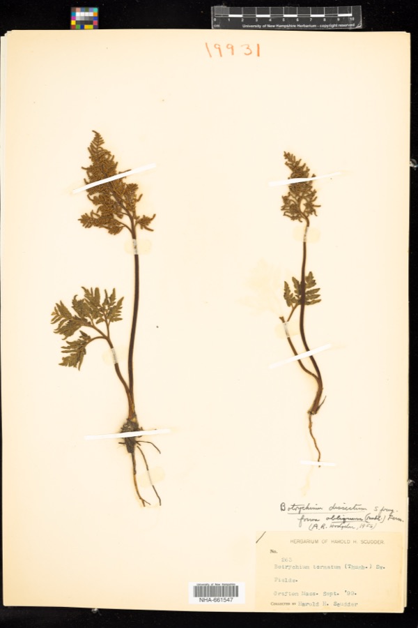 | Sceptridium dissectum (Spreng.) Lyon | 1899 | H. H. Scudder | |
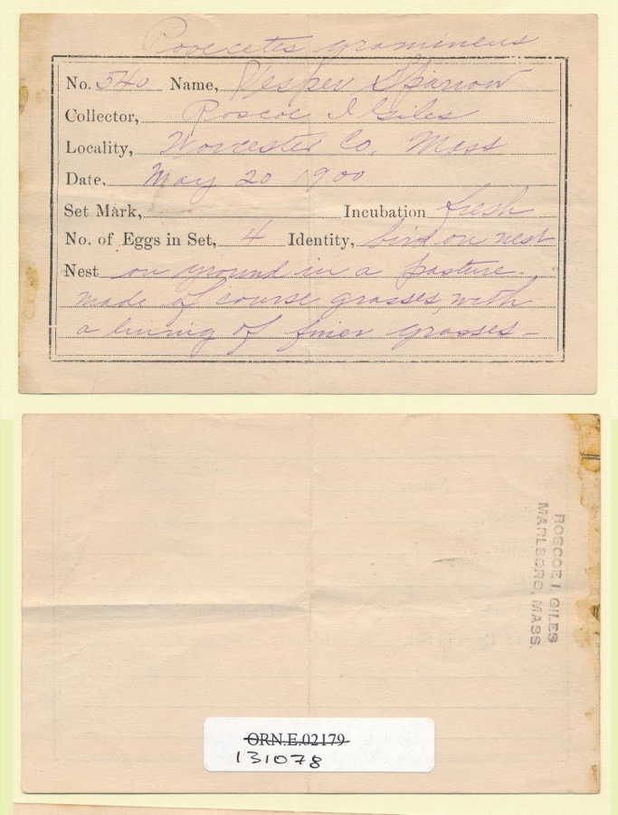 | Pooecetes gramineus gramineus (J.F.Gmelin, 1789) | 1900 | Roscoe I. Giles | |
 | Ochrolechia tartarea (L.) A.Massal. | 1839 | E. Tuckerman | |
 | Carex laxiflora Lam. | 1840 | Thomas Nuttall | Cambridge. |
 | Carex vestita Willd. | 1840 | Thomas Nuttall | Cambridge. |
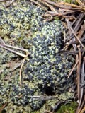 | Mycobilimbia hypnorum (Lib.) Kalb & Hafellner | 1848 | E. Tuckerman | |
 | Tamias striatus lysteri (Richardson, 1829) | 1848 | L Agassiz | PARSONS ISLAND |
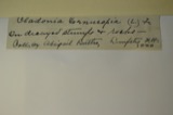 | Cladonia cornucopioides F.Wilson | 1850 | J. L. Russell | Leicester |
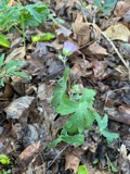 | Geranium maculatum L. | 1850 | not recorded | |
 | Packera aurea (L.) Á.Löve & D.Löve | 1850 | not recorded | |
| Elymus repens (L.) Gould | 1892 | Arthur B. Seymour | Cambridge. | |
| Festuca pratensis Huds. | 1892 | Arthur B. Seymour | Cambridge. |
All 1,710 specimens within 10 miles, at the Global Biodiversity Information Facility.
Mines and quarries nearby
10 of 11 shownThe federal mineral resources record lists 11 workings within 5 miles of Worcester: 6 past producers, 3 producers, 2 plants. 5 still produce. What was taken out: Sand and Gravel, Construction, Iron, Lead, Stone. Distance is straight-line from the map coordinates, so a quarry counted here may appear on a neighbouring settlement's page as well.
| Where | Site | Commodity | Status | Recorded |
|---|---|---|---|---|
| Bd Bloomfield Co--Worcester, Ma. | Lead | Plant | ||
| Crucible Spec. Metals--Auburn, Ma. | Iron | Plant | ||
| Shrewsbury Trap Rock | Stone | Producer | ||
| 30 Southwest Cutoff Plant | Sand and Gravel, Construction | Producer | ||
| Capa Corporation | Sand and Gravel, Construction | Past Producer | ||
| F Ang G Sand and Gravel | Sand and Gravel, Construction | Past Producer | Sedimentary | |
| F and G Pit | Sand and Gravel, Construction | Producer | ||
| Sewall Pit | Sand and Gravel, Construction | Past Producer | ||
| Shrewsbury Pit | Sand and Gravel, Construction | Past Producer | ||
| Town of Boylston | Sand and Gravel, Construction | Past Producer | Sedimentary |
Storms nearby
60 of 74 shownThe National Weather Service names Worcester in 74 storm reports between 1994 and 2025: 36 thunderstorm wind, 11 flood, 10 flash flood, 9 hail. The reports record 9 injuries. Each account below is quoted exactly as the forecast office filed it, from the NOAA Storm Events Database, and each date opens the federal record of that event.
| When | Event | Place named | Harm | What the report says |
|---|---|---|---|---|
| July 2006 | Lightning | Worcester | 9 hurt | no account filed |
| May 1998 | Thunderstorm Wind | Worcester | $10,000,000 | no account filed |
| August 1994 | Thunderstorm Wind | Worcester | $500,000 | Trees were blown down near Rutledge/Granite/Loxwood Streets and insulation was torn from the roof of an apartment building and blown several hundred yards away. A microburst associated with a severe thunderstorm likely caused this damage. |
| August 2014 | Tornado (EF0) | South Worcester | $100,000 | A tornado touchdown occurred near the intersection of Perry Avenue and Fairfax Road. A narrow well-defined damage path extended past Saint Vincent Hospital to Gordon Street. The most significant damage was to trees, some of which were uprooted or snapped. Some trees landed on cars causing significant damage to the cars. A couple of trees landed on houses, but there was little structural damage to the houses. A few windows were broken by tree branches. |
| February 2016 | Thunderstorm Wind | Worcester | $75,000 | Traffic light poles on Lincoln Street and Westland Street, trees on Pinecrest Drive, Sunny Hill Drive, and Hudson Street, a light pole on Millbrook Street, and numerous large tree branches on Russell Street, Crestland Circle, Paine Street, Sarrar Avenue, and Rexham Road were all downed by thunderstorm winds. |
| June 2008 | Thunderstorm Wind | Worcester | $75,000 | The Automated Surface Observing System at Worcester Regional Airport (KORH) recorded a wind gust of 68 mph. Damage around Worcester was substantial. St. John's Cemetary was closed after 30 to 40 trees two and a half to three feet in diameter were downed by thunderstorm winds. In the midst of this there were also a number of gravestones that were knocked over or damaged in some other way. Other trees in the cemetary had their tops sheared off or were completely stripped of leaves. Numerous trees were downed across the city of Worcester. A garage door was blown out of a building on Pleasant Street and wind blown debris shattered several of the windows of a Sovereign Bank Branch. Four inch diameter branches were downed by these winds at the Worcester Polytechnic Institute. In addition, trees were downed in Leicester. Much of the damage information included here was taken from local newspaper articles. The newspaper didn't identify a specific time when the damage occurred; however, it is assumed from radar observations and ASOS observations that the bulk of the damage occurred around the time of this 68 mph wind gust. |
| July 2014 | Flash Flood | Worcester | $50,000 | Southgate, Bellevue, Austin, and Southbridge Streets were flooded and impassable. Grafton Street was flooded with 8 inches of water from Barclay Street to Interstate 290 with numerous manhole covers popped off. Harding Street and West Boylston Street were flooded with up to 8 inches of water. Cars were stuck in flood waters on Quinsigamond Avenue and Plantation Street. Numerous basements were flooded on Water Street. Several lanes of Interstate 290 were flooded at Lincoln Square. |
| June 2012 | Lightning | Worcester | $45,000 | Lightning struck a tree on 4th Street in Worcester, igniting a fire to the house next to the tree. Six adults were displaced by the fire. |
| June 2008 | Thunderstorm Wind | Worcester | $25,000 | Numerous trees and tree limbs were downed throughout Worcester, including on Salisbury Street. In addition, two utility poles on Route 122 were downed by thunderstorm winds. |
| July 2021 | Flash Flood | South Worcester | $20,000 | In Worcester, flash flood waters were up to car windshields on Dale Street. |
| July 2010 | Lightning | Worcester | $20,000 | Lightning struck a power substation in Worcester Square, knocking out power to 27,000 people. |
| July 2006 | Flood | Worcester | $20,000 | Urban flood |
| June 2006 | Thunderstorm Wind | Worcester | $20,000 | no account filed |
| February 2016 | Thunderstorm Wind | Worcester | $15,000 | Multiple trees and wires were downed throughout Worcester. |
| August 2015 | Thunderstorm Wind | South Worcester | $15,000 | Trees on Randolph Road, Monadnock Road, and Winifred Avenue were downed by thunderstorm winds. |
| June 2010 | Thunderstorm Wind | Worcester | $15,000 | Trees and wires on Heard and Whipple Streets were downed by thunderstorm winds. |
| August 2015 | Thunderstorm Wind | South Worcester | $10,000 | Trees on Burncoat, Mason, and King Streets were downed by thunderstorm winds. |
| August 2010 | Lightning | South Worcester | $10,000 | Lightning struck a building on Gold Street, blowing out the electrical panels of the building and starting a small fire. |
| February 2008 | Flood | Worcester | $10,000 | Basements were flooded on North Fitzwilliam Road in Boylston. May and Flag Streets and Richmond Avenue were flooded in Worcester. In addition, the Western Worcester District Court was closed because of roof leaks caused by the heavy snow and rain. Chapel Street in Holden was closed due to flooding. Route 140 near Route 170 was flooded in Royalston. The Huckleberry Brook near Milford flooded over its banks. In addition, the Charles River at Dilla Street in Milford went over its banks. Champlain Street in Blackstone was closed due to flooding. |
| August 2006 | Thunderstorm Wind | Worcester | $10,000 | no account filed |
| August 2002 | Lightning | Worcester | $10,000 | no account filed |
| April 1995 | Thunderstorm Wind | Worcester | $9,000 | The National Weather Service recorded a wind gusts to 64 mph at the Municipal Airport, where a mobile home was blown up against a fence. In Spencer, $9,000 worth of aluminum roof panels were blown off a building and two motor vehicles were damaged by the falling panels. |
| July 2021 | Flash Flood | South Worcester | $8,000 | In Worcester, five cars were stuck in flood waters at Dewey Street and Parker Street. |
| May 2020 | Thunderstorm Wind | Worcester | $5,000 | Multiple trees were down across the city of Worcester. Law enforcement reported trees down on Maywood Street, Barnard Road, Revere Street, Perrot Street, Grafton Street, and Pioneer Road. |
| August 2020 | Flash Flood | Worcester | $5,000 | In Worcester, a car was stuck in flooding on the Rt 146 offramp to I-290. The Franklin St Train Bridge was impassable due to flash flooding. |
| March 2016 | Thunderstorm Wind | Worcester | $5,000 | A tree on Mill Street in Worcester was downed onto wires by thunderstorm winds. |
| August 2016 | Thunderstorm Wind | Worcester | $5,000 | Power lines on Johnson Street were downed by thunderstorm winds. |
| July 2016 | Thunderstorm Wind | Worcester | $5,000 | Power lines on Burncoat Street were downed by thunderstorm winds. |
| July 2016 | Thunderstorm Wind | Worcester | $5,000 | A tree on Russell Avenue was downed by thunderstorm winds. |
| August 2015 | Thunderstorm Wind | South Worcester | $5,000 | A tree on Clarkson Street was downed by thunderstorm winds, blocking the street. |
| September 2015 | Flood | South Worcester | $5,000 | The Southgate Street underpass was flooded. A car was stuck in the floodwaters. |
| May 2012 | Thunderstorm Wind | Worcester | $5,000 | Trees and wires on Sunny Hill Drive were downed by thunderstorm winds. |
| June 2011 | Thunderstorm Wind | Worcester | $5,000 | Large branches on Columbus Street were downed by thunderstorm winds. |
| July 2008 | Flood | Worcester | $5,000 | Heavy rain resulted in street flooding on Southgate Street. One car was flooded out by these waters. |
| October 2006 | Flood | Worcester | $5,000 | Significant urban flooding was reported in and around Worcester. |
| July 2005 | Thunderstorm Wind | Worcester | $5,000 | no account filed |
| June 2008 | Thunderstorm Wind | Worcester | $3,000 | Sixteen inch diameter trees on the west side of town were downed by thunderstorm winds. |
| July 2008 | Thunderstorm Wind | Worcester | $3,000 | Several three inch diameter branches and a tree on Bancroft Tower Road were downed by thunderstorm winds. |
| September 2025 | Thunderstorm Wind | Worcester | $2,000 | In Worcester, trees were downed on Chandler St. |
| July 2019 | Thunderstorm Wind | Worcester | $2,000 | Tree down on a car on Hooper Street in Worcester. |
| July 2002 | Thunderstorm Wind | Worcester | $2,000 | no account filed |
| August 2021 | Thunderstorm Wind | South Worcester | $1,300 | In Worcester, trees and wires were down on Ferdinand St. |
| June 2010 | Thunderstorm Wind | Worcester | $1,000 | Large limbs and wires were downed by thunderstorm winds at Clark University in Worcester and along Route 20 in Auburn. |
| August 2008 | Thunderstorm Wind | Worcester | $1,000 | Ten inch diameter limbs in the Salisbury area were downed by thunderstorm winds. |
| September 2025 | Thunderstorm Wind | Worcester | $300 | In Worcester, a tree was down with partial road blockage. |
| June 2024 | Flash Flood | South Worcester | - | In Worcester, Rt 20 near Grafton St was flooded with vehicles stranded in flood water. |
| July 2023 | Flash Flood | Worcester | - | In Worcester, the area of 86 Southwest was flooded with 4 cars stuck in flood waters. |
| July 2023 | Flood | Worcester | - | In Worcester, Franklin St by the railroad tracks was flooded. |
| July 2021 | Flash Flood | South Worcester | - | In Worcester, Cambridge St from Quinsigamond Ave to McKeon Rd was closed due to urban flash flooding. |
| July 2021 | Flood | South Worcester | - | In Worcester, a section of Grafton St was closed due to flooding. Report forwarded by amateur radio. |
| July 2021 | Flash Flood | South Worcester | - | In Worcester, there was urban flash flooding at the intersection of Southbridge and Southgate Streets. Water was observed to be bubbling up out of manhole covers. |
| March 2020 | Hail | Worcester | - | Golf ball size hail was reported via amateur radio at 756 PM EST in Worcester. It began with dime size hail at 753 PM EST. |
| August 2020 | Hail | Worcester | - | In Worcester, quarter sized hail was reported. |
| August 2020 | Flood | Worcester | - | In Worcester, Washington Square was flooded to an unknown depth. |
| July 2019 | Flood | South Worcester | - | Flooding was reported on Armory Street in South Worcester with water flowing over the curb. |
| August 2019 | Flood | South Worcester | - | In the southern portion of Worcester, the Southbridge Street exit ramp off of I-290 eastbound had substantial flooding at the bottom of the ramp. |
| July 2018 | Flash Flood | Worcester | - | At 2:55 PM EST, heavy rain in Worcester brought street flooding to a depth of one foot at the intersection of Chandler Street and Murray Avenue. |
| July 2018 | Flash Flood | Worcester | - | At 3:48 PM EST, heavy rain flooded Pelham Street in Worcester to a depth of three feet. |
| June 2017 | Hail | Worcester | - | At 318 PM EST, an amateur radio operator reported nickel-size hail at Worcester. |
| July 2008 | Hail | Worcester | - | Penny size hail fell near College of the Holy Cross and Vernon Hill Hospital. |
Newspapers printed here
0 digitised pages11 papers published in this town, digitised by the Library of Congress and free to read: 0 issues, 0 pages. Every page is searchable, so a name or a street can be looked for directly in what the town printed about itself at the time.
| Newspaper | Published |
|---|---|
| Worcester Morning Daily Spy | 1888 to 1898 |
| The Worcester Spy | 1898 to 1904 |
| Massachusetts Spy and Worcester Advertiser | 1823 to 1825 |
| The Massachusetts Spy, and Worcester County Advertiser | 1825 to 1831 |
| The Massachusetts Spy | 1831 to 1858 |
| Massachusetts Weekly Spy | 1858 to 1882 |
| The Daily Spy | 1845 to 1850 |
| Worcester Daily Press | 1873 to 1878 |
| Worcester Daily Spy | 1850 to 1888 |
| The Massachusetts Spy | 1821 to 1823 |
| Thomas's Massachusetts Spy, Or, Worcester Gazette | 1811 to 1821 |
What the paper printed
336,140 wordsFront pages of the local paper, read from the Library of Congress scans: 60 issues spread across its run from 1821 to 1904, 336,140 words in total. Each is reproduced on its own page, exactly as the recogniser returned it.
These pages read less well than anything else here, and the number is worth stating: about three words in four come through cleanly, against nine in ten for the building records. An 1896 broadsheet sets eight-point type in seven columns on microfilm, which is the hardest thing in this archive to read by machine. We tested our own recognisers against the Library's and they were not better, so the Library's text is what appears, with the wholly unreadable columns removed. Read it as a guide to what the paper covered, and follow the link to the scan before quoting anything.
| Issue | Paper | Length |
|---|---|---|
| 1821-03-07 | Thomas's Massachusetts Spy, Or, Worcester Gazette | 4,796 words |
| 1821-03-21 | Thomas's Massachusetts Spy, Or, Worcester Gazette | 5,247 words |
| 1821-04-04 | Thomas's Massachusetts Spy, Or, Worcester Gazette | 3,979 words |
| 1821-05-02 | Thomas's Massachusetts Spy, Or, Worcester Gazette | 3,793 words |
| 1821-05-16 | Thomas's Massachusetts Spy, Or, Worcester Gazette | 3,714 words |
| 1821-05-23 | The Massachusetts Spy | 3,469 words |
| 1821-07-03 | The Massachusetts Spy | 3,100 words |
| 1821-08-22 | The Massachusetts Spy | 3,412 words |
| 1821-10-03 | The Massachusetts Spy | 3,705 words |
| 1821-11-21 | The Massachusetts Spy | 3,509 words |
| 1823-09-03 | The Massachusetts Spy | 3,383 words |
| 1823-09-10 | Massachusetts Spy and Worcester Advertiser | 4,419 words |
| 1823-10-01 | Massachusetts Spy and Worcester Advertiser | 4,586 words |
| 1823-10-29 | Massachusetts Spy and Worcester Advertiser | 3,045 words |
| 1823-11-19 | Massachusetts Spy and Worcester Advertiser | 3,910 words |
| 1823-12-17 | Massachusetts Spy and Worcester Advertiser | 4,067 words |
| 1825-06-22 | Massachusetts Spy and Worcester Advertiser | 5,341 words |
| 1845-08-12 | The Daily Spy | 4,408 words |
| 1845-09-05 | The Daily Spy | 4,122 words |
| 1845-10-02 | The Daily Spy | 4,640 words |
| 1845-10-31 | The Daily Spy | 4,611 words |
| 1850-09-18 | The Daily Spy | 5,998 words |
| 1850-09-19 | Worcester Daily Spy | 6,031 words |
| 1850-10-08 | Worcester Daily Spy | 4,034 words |
| 1850-11-01 | Worcester Daily Spy | 5,125 words |
| 1850-11-25 | Worcester Daily Spy | 5,171 words |
| 1850-12-13 | Worcester Daily Spy | 3,775 words |
| 1877-12-31 | Worcester Daily Spy | 8,930 words |
| 1825-06-29 | The Massachusetts Spy, and Worcester County Advertiser | 3,492 words |
| 1825-08-10 | The Massachusetts Spy, and Worcester County Advertiser | 5,835 words |
| 1825-09-21 | The Massachusetts Spy, and Worcester County Advertiser | 4,917 words |
| 1825-10-26 | The Massachusetts Spy, and Worcester County Advertiser | 5,107 words |
| 1825-12-07 | The Massachusetts Spy, and Worcester County Advertiser | 4,219 words |
| 1831-10-19 | The Massachusetts Spy | 7,401 words |
| 1831-11-09 | The Massachusetts Spy | 8,399 words |
| 1831-12-14 | The Massachusetts Spy | 5,212 words |
| 1832-12-26 | The Massachusetts Spy | 5,998 words |
| 1873-04-01 | Worcester Daily Press | 9,220 words |
| 1873-05-26 | Worcester Daily Press | 4,789 words |
| 1873-07-19 | Worcester Daily Press | 9,754 words |
| 1873-11-05 | Worcester Daily Press | 8,716 words |
| 1878-04-27 | Worcester Daily Press | 6,847 words |
| 1861-06-12 | Massachusetts Weekly Spy | 10,565 words |
| 1861-07-17 | Massachusetts Weekly Spy | 8,863 words |
| 1861-11-27 | Massachusetts Weekly Spy | 4,260 words |
| 1861-12-11 | Massachusetts Weekly Spy | 10,732 words |
| 1861-12-18 | Massachusetts Weekly Spy | 9,656 words |
| 1863-04-22 | Massachusetts Weekly Spy | 9,331 words |
| 1898-10-01 | The Worcester Spy | 7,068 words |
| 1898-10-19 | The Worcester Spy | 5,760 words |
| 1898-11-07 | The Worcester Spy | 6,313 words |
| 1898-11-25 | The Worcester Spy | 7,812 words |
| 1898-12-14 | The Worcester Spy | 5,208 words |
| 1904-05-31 | The Worcester Spy | 3,726 words |
| 1897-01-01 | Worcester Morning Daily Spy | 3,813 words |
| 1897-03-15 | Worcester Morning Daily Spy | 3,187 words |
| 1897-05-26 | Worcester Morning Daily Spy | 6,949 words |
| 1897-08-09 | Worcester Morning Daily Spy | 7,982 words |
| 1897-10-20 | Worcester Morning Daily Spy | 6,604 words |
| 1898-09-30 | Worcester Morning Daily Spy | 4,085 words |
Nearest settlements
The eight closest, with where each one stands in the county. Distances are straight-line, computed from the Geographic Names Information System coordinates.
| Map | Place | Distance | Sheets |
|---|---|---|---|
| Belmont Hill | 0.6 miles | 45 | |
| Oak Hill | 0.7 miles | 45 | |
| Shrewsbury Street | 0.9 miles | 45 | |
| Chandler Hill | 1.0 miles | 45 | |
| Union Hill | 1.0 miles | 45 | |
| Island | 1.1 miles | 44 | |
| Hammond Heights | 1.1 miles | 45 | |
| University Park | 1.1 miles | 45 |
Elsewhere
Matched on this settlement's Geographic Names Information System number rather than its name, so it cannot be a different place of the same name in another state.
| Wikipedia article on Worcester | An encyclopaedic summary. Its text is share-alike, so it is linked here rather than copied. |
| Wikidata item Q49179 | The structured record the population and elevation above come from. Public domain (CC0). |
Provenance
This settlement is recorded in the Geographic Names Information System as feature 617867. The sheet list is computed by point-in-boundary test against the United States Geological Survey's historical topographic inventory. Both are works of the United States government and carry no copyright under 17 U.S.C. 105.
Wildfire. Short, Karen C. 2022. Spatial wildfire occurrence data for the United States, 1992-2020 [FPA_FOD_20221014]. 6th Edition. Fort Collins, CO: Forest Service Research Data Archive. https://doi.org/10.2737/RDS-2013-0009.6 Collected with United States Government funding and usable without additional permissions or fees.
Specimens. Global Biodiversity Information Facility (GBIF), https://www.gbif.org/. Only records licensed CC0 or CC BY are used. Records licensed CC BY-NC are excluded because this site carries advertising. Images are checked individually and any whose licence is non-commercial, no-derivatives or unreadable is refused.
Mines and quarries. USGS Mineral Resources Data System (MRDS) https://mrdata.usgs.gov/mrds/ A work of the United States government, no copyright under 17 U.S.C. 105.
Storms. NOAA National Centers for Environmental Information, Storm Events Database https://www.ncei.noaa.gov/stormevents/ A work of the United States government, no copyright under 17 U.S.C. 105. Narratives are quoted verbatim from the National Weather Service report and are not edited or summarised.