 Block
Block
Kinsman, Ohio
12 topographic sheets cover this place, the earliest surveyed in 1907 and the latest in 1994. It stands in Kinsman Township. It lies in ZIP code area 44428. It stands on Maple Creek. The Survey maps it on the Kinsman quadrangle.
Then and now
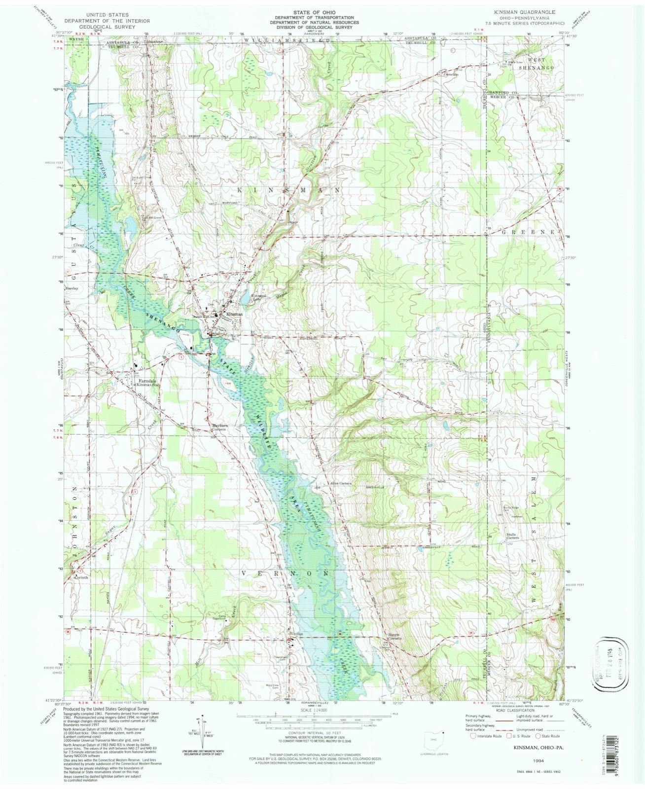
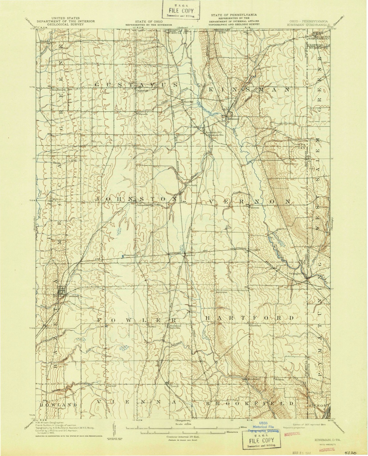
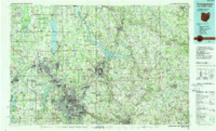
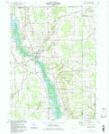
1907 to 1994The same ground, surveyed 87 years apart. Drag the handle to wipe between them. Both sheets are United States Geological Survey originals; neither has been altered.
Topographic sheets covering this place
12 sheetsMatched by testing this settlement's coordinate against the published boundary of every sheet in the United States Geological Survey's historical collection. Each opens the scanned sheet at the Survey.
- 1907 USGS Kinsman quadrangle1:62500
- 1907 USGS Kinsman quadrangle1:62500
- 1956 USGS Cleveland quadrangle1:250000
- 1956 USGS Cleveland quadrangle1:250000
- 1956 USGS Cleveland quadrangle1:250000
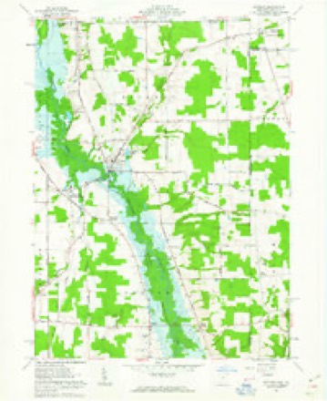
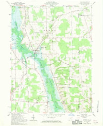
- 1961 USGS Kinsman quadrangle1:24000
- 1961 USGS Kinsman quadrangle1:24000
- 1961 USGS Kinsman quadrangle1:24000
- 1962 USGS Cleveland quadrangle1:250000
- 1986 USGS Youngstown quadrangle1:100000
- 1986 USGS Youngstown quadrangle1:100000
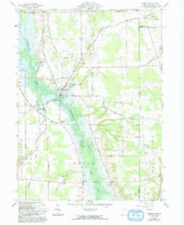
- 1994 USGS Kinsman quadrangle1:24000




Photographs
4 photographs,Taken for the Office of War Information and the Farm Security Administration, who photographed the country between 1935 and 1944. Works of United States government photographers, with no known restriction on use. Each opens its catalogue record.
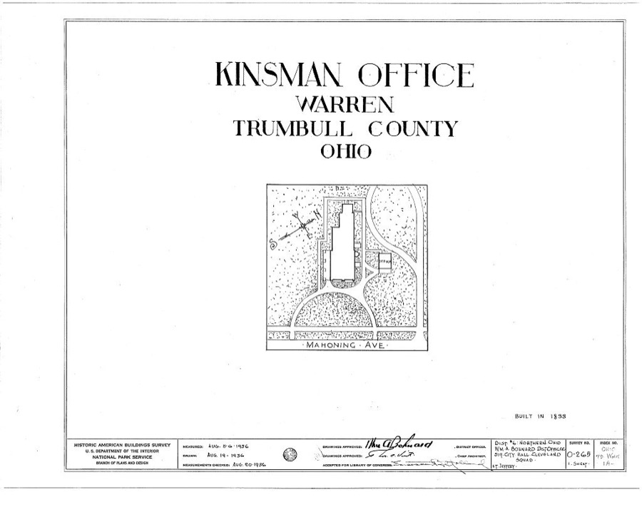
Unattributed, . Library of Congress
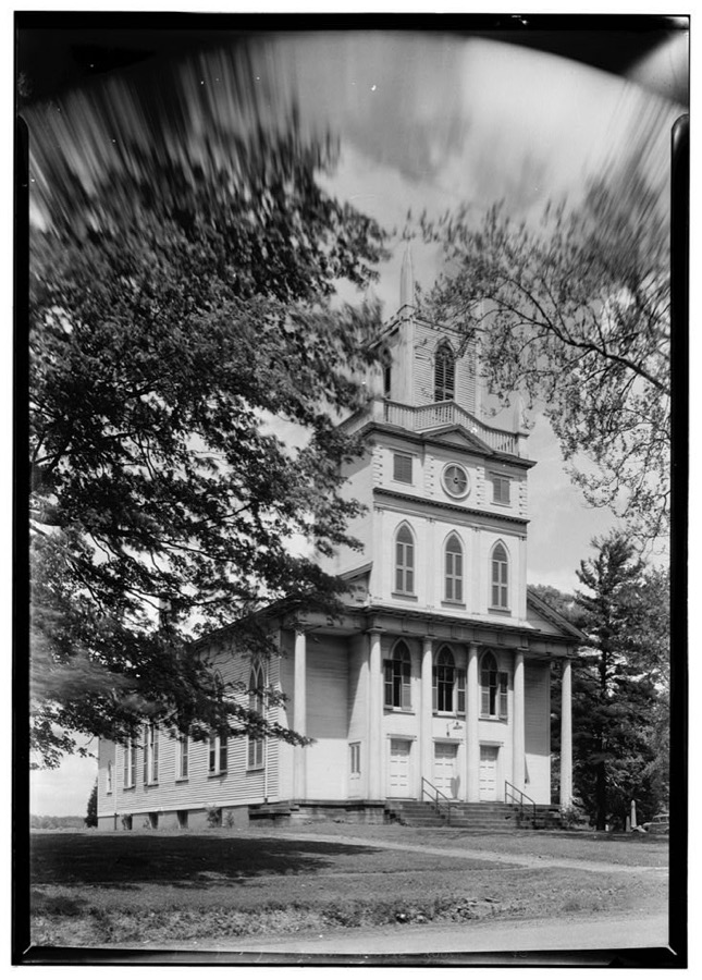
Unattributed, . Library of Congress
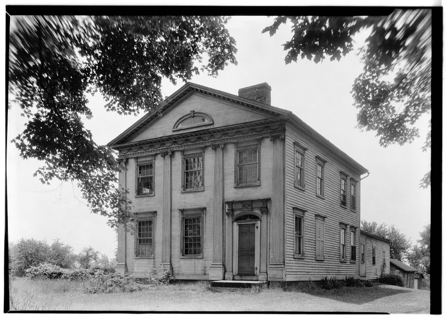
Unattributed, . Library of Congress
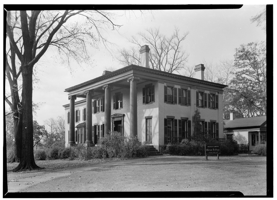
Unattributed, . Library of Congress
Specimens collected nearby
12 of 113 shownMuseums hold 113 specimens collected within 10 miles of Kinsman between 1910 and 1973: 80 Animalia, 32 Plantae, 1 Fungi. 12 distinct Species records are shown. Collected by Almon N. Rood, Brown, Fred, Conant, R. (Roger) & Murphy, M. K. and others. Each is a physical object with a catalogue number, and each entry opens the museum's record. This is what was collected and kept, not a survey of what lives here - nothing can be concluded from a species being absent.
| Image | Species | Year | Collected by | Where, as recorded |
|---|---|---|---|---|
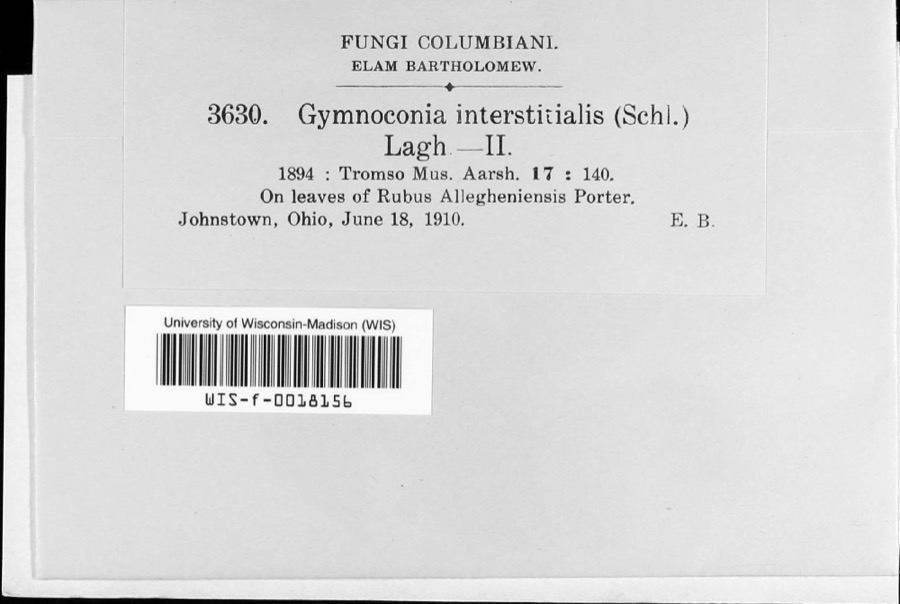 | Gymnoconia peckiana (Howe) Trotter | 1910 | E.B. | Johnston |
 | Diadophis punctatus (Linnaeus, 1766) | 1917 | not recorded | Kinsman |
 | Ameiurus nebulosus (Lesueur, 1819) | 1929 | MB Trautman & asst | Pymatuming Creek, trib of Shenango River, Southern Vernon Twp |
 | Esox americanus vermiculatus Lesueur, 1846 | 1929 | MB Trautman & asst | Pymatuming Creek, trib of Shenango River, Southern Vernon Twp |
 | Esox vermiculatus Lesueur, 1846 | 1929 | Trautman, M. B. (Milton Bernard) | Pymatuning Creek, within Ex south Vernon township, near Orangeville, Vernon township |
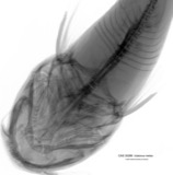 | Ictalurus melas (Linnaeus, 1758) | 1929 | Trautman, M. B. (Milton Bernard) | Pymatuning Creek, at Kinsman, ~0.1 mi S of Kinsman, Kinsman township |
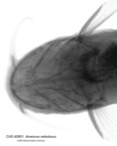 | Ictalurus nebulosus (Lesueur, 1819) | 1929 | Trautman, M. B. (Milton Bernard) | Pymatuning Creek, within Ex south Vernon township, near Orangeville, Vernon township |
 | Lepomis Rafinesque, 1819 | 1929 | MB Trautman & asst | Pymatuming Creek, trib of Shenango River, Southern Vernon Twp |
 | Lepomis gibbosus (Linnaeus, 1758) | 1929 | Trautman, M. B. (Milton Bernard) | Pymatuning Creek, within Ex south Vernon township, near Orangeville, Vernon township |
 | Lepomis macrochirus Rafinesque, 1819 | 1929 | Trautman, M. B. (Milton Bernard) | Pymatuning Creek, at Kinsman, ~0.1 mi S of Kinsman, Kinsman township |
 | Luxilus cornutus (Mitchill, 1817) | 1929 | MB Trautman | Small trib of the Pymaturning, center of Johnston Twnp |
 | Necturus maculosus maculosus (Rafinesque, 1818) | 1929 | Trautman, M. B. (Milton Bernard) & Hine, J. S. (James Stewart) | Johnston Twp., Trumbull Co., Ohio |
All 113 specimens within 10 miles, at the Global Biodiversity Information Facility.
Mines and quarries nearby
3 within 5 milesThe federal mineral resources record lists 3 workings within 5 miles of Kinsman: 1 past producer, 1 producer, 1 plant. 2 still produce. What was taken out: Sand and Gravel, Construction, Stone, Crushed/Broken. Distance is straight-line from the map coordinates, so a quarry counted here may appear on a neighbouring settlement's page as well.
| Where | Site | Commodity | Status | Recorded |
|---|---|---|---|---|
| Vernon Quarry & Mill | Stone, Crushed/Broken | Plant | ||
| Kinsman Sand and Gravel Pit | Sand and Gravel, Construction | Past Producer | Sedimentary | |
| Kinsman Sand and Gravel Pit | Sand and Gravel, Construction | Producer |
Storms nearby
22 since 1994The National Weather Service names Kinsman in 22 storm reports between 1994 and 2024: 14 thunderstorm wind, 5 hail, 3 flash flood. No death or injury is recorded in these reports. Each account below is quoted exactly as the forecast office filed it, from the NOAA Storm Events Database, and each date opens the federal record of that event.
| When | Event | Place named | Harm | What the report says |
|---|---|---|---|---|
| July 2019 | Flash Flood | Kinsman | $3,000,000 | Kinsman Lake in northern Trumbull County saw an estimated 5 to 6 inches of rainfall during the early morning hours of the 20th. A Flash Flood Warning was issued at 741 AM on the morning of the 20th due to an increase in rainfall rates peaking between 7 and 715 am around 4 inches per hour. The nine acre lake was overwhelmed by runoff and the earthen dam on the south side of the lake was overtopped by 2 to 4 feet of water as estimated by Ohio Department of Natural Resources. The dam eroded and broke around 811 AM. Immediately downstream of the dam the basement wall of home collapsed, and agricultural fields sustained significant erosion. In all the washed out bridge left 55 people in 21 homes cut off as a result of this failure. The flood waters continued down Stratton Creek into Pymatuning Creek and eventually into the Shenango River Lake in PA. No impacts were reported once the flood waters reached the Pymatuning Creek. |
| August 1994 | Thunderstorm Wind | Kinsman | $500,000 | A large thunderstorm moved across the eastern suburbs of Cleveland to the Pennsylvania border producing winds in excess of 70 mph at times. Winds were measured at 60 mph in downtown Cleveland (Cuyahoga County), 63 mph at Cuyahoga County Airport and 69 mph in Willoughby (Lake). Numerous trees were uprooted, some on power lines, some severely damaging cars and buildings. Many roads were blocked by debris. In Geauga County a greenhouse was destroyed and a trailer overturned. In Kinsman (Trumbull) a pickup truck was crushed by a large falling tree but the driver was unhurt. A 44 year-old Euclid (Cuyahoga) woman was killed near her home as she walked through an area with extensive debris and came into contact with a concealed downed power line. Power was out in some areas for up to 24 hours. |
| July 2014 | Flash Flood | Kinsman | $60,000 | Heavy rain fell along and just south of the Ashtabula/Trumbull County line. Most of the rain fell over the Stratton and Maple Creek basins, tributaries to the Pymatuning Creek, near Kinsman. The creek overflowed it's banks and washed out portions of Kinsman-Pymatuning Road between Route 7 and Delin Thomas Road. The local golf course sustained significant damage to culverts and roads caused by the flood waters. |
| June 2013 | Thunderstorm Wind | Kinsman | $15,000 | A trained spotter reported many trees and utility poles knocked down. |
| June 2020 | Thunderstorm Wind | Kinsman | $10,000 | Trumbull County Sheriff Dispatch reported numerous trees downed north of State Route 305 in Kinsman Township. |
| May 2014 | Hail | Kinsman | $5,000 | The media relayed a report of ping pong ball size hail near Kinsman. |
| August 2011 | Thunderstorm Wind | Kinsman | $5,000 | Thunderstorm winds downed a few trees. |
| August 1997 | Thunderstorm Wind | Kinsman | $5,000 | Trees were downed. |
| June 2006 | Thunderstorm Wind | Kinsman | $4,000 | Several trees were reported down. |
| July 2010 | Thunderstorm Wind | Kinsman | $1,000 | Thunderstorm winds downed several large tree limbs. |
| May 2003 | Thunderstorm Wind | Kinsman | $1,000 | Thunderstorm winds downed a large tree limb south of Kinsman. |
| August 2024 | Thunderstorm Wind | Kinsman | - | Numerous trees downed in Kinsman. |
| July 2024 | Thunderstorm Wind | Kinsman | - | Tree downed in Kinsman. |
| June 2022 | Thunderstorm Wind | Kinsman | - | Numerous trees downed in Kinsman area. |
| August 2021 | Thunderstorm Wind | Kinsman | - | Numerous trees and power lines downed in Kinsman Township. |
| June 2012 | Hail | Kinsman | - | Nickel sized hail was reported. |
| May 2007 | Hail | Kinsman | - | Nickel size hail was observed. |
| April 1994 | Thunderstorm Wind | Kinsman | - | Winds reported at 60 mph. |
| June 2019 | Hail | Kinsman | - | no account filed |
| August 2019 | Hail | Kinsman | - | no account filed |
| June 1997 | Flash Flood | Kinsman | - | no account filed |
| July 1996 | Thunderstorm Wind | Kinsman | - | no account filed |
Nearest settlements
The eight closest, with where each one stands in the county. Distances are straight-line, computed from the Geographic Names Information System coordinates.
| Map | Place | Distance | Sheets |
|---|---|---|---|
| Farmdale | 1.1 miles | 12 | |
| Dewey (historical) | 1.7 miles | 12 | |
| Barclay | 2.1 miles | 12 | |
| York (historical) | 2.5 miles | 12 | |
| Superior (historical) | 3.3 miles | 12 | |
| Corinth | 3.6 miles | 12 | |
| Stanhope | 3.8 miles | 12 | |
| Dlworth | 4.1 miles | 12 |
Provenance
This settlement is recorded in the Geographic Names Information System as feature 1064944. The sheet list is computed by point-in-boundary test against the United States Geological Survey's historical topographic inventory. Both are works of the United States government and carry no copyright under 17 U.S.C. 105.
Specimens. Global Biodiversity Information Facility (GBIF), https://www.gbif.org/. Only records licensed CC0 or CC BY are used. Records licensed CC BY-NC are excluded because this site carries advertising. Images are checked individually and any whose licence is non-commercial, no-derivatives or unreadable is refused.
Mines and quarries. USGS Mineral Resources Data System (MRDS) https://mrdata.usgs.gov/mrds/ A work of the United States government, no copyright under 17 U.S.C. 105.
Storms. NOAA National Centers for Environmental Information, Storm Events Database https://www.ncei.noaa.gov/stormevents/ A work of the United States government, no copyright under 17 U.S.C. 105. Narratives are quoted verbatim from the National Weather Service report and are not edited or summarised.