 Block
Block
Landeck, Ohio
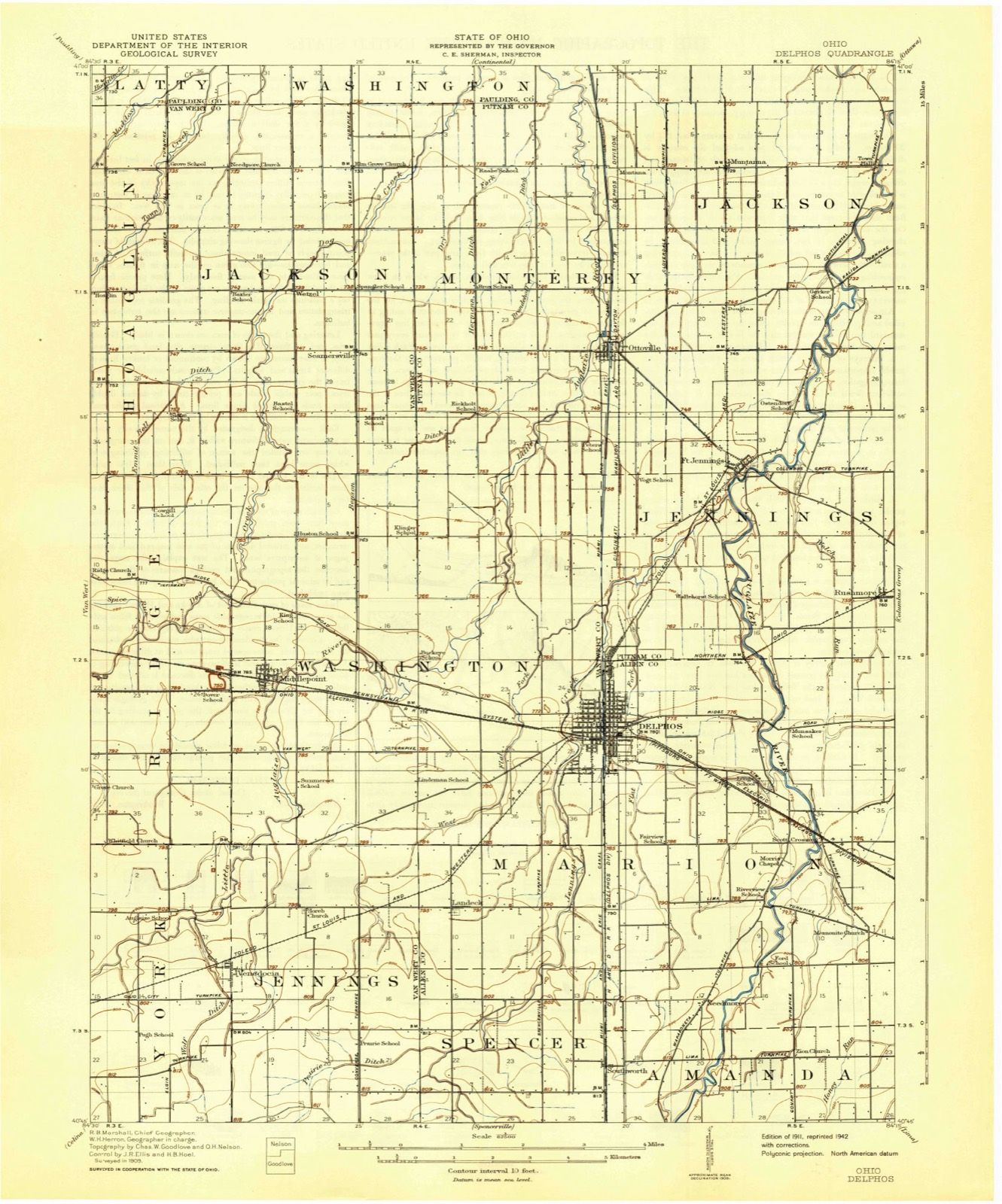
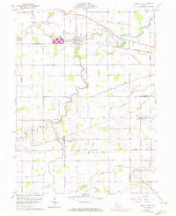
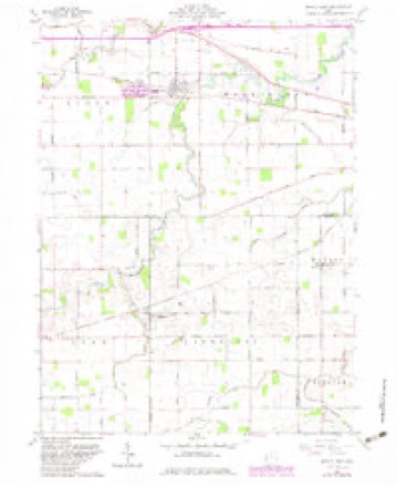
14 topographic sheets cover this place, the earliest surveyed in 1911 and the latest in 1986. It stands in Marion Township. It lies in ZIP code area 45833. The Survey maps it on the Middle Point quadrangle.
Then and now
1911 to 1986The same ground, surveyed 75 years apart. Drag the handle to wipe between them. Both sheets are United States Geological Survey originals; neither has been altered.

Topographic sheets covering this place
14 sheetsMatched by testing this settlement's coordinate against the published boundary of every sheet in the United States Geological Survey's historical collection. Each opens the scanned sheet at the Survey.
- 1911 USGS Delphos quadrangle1:62500
- 1944 USGS Delphos quadrangle1:62500
- 1953 USGS Muncie quadrangle1:250000
- 1953 USGS Muncie quadrangle1:250000
- 1953 USGS Muncie quadrangle1:250000
- 1953 USGS Muncie quadrangle1:250000
- 1953 USGS Muncie quadrangle1:250000
- 1956 USGS Muncie quadrangle1:250000
- 1960 USGS Middle Point quadrangle1:24000
- 1960 USGS Middle Point quadrangle1:24000
- 1960 USGS Middle Point quadrangle1:24000
- 1986 USGS Lima quadrangle1:100000
- 1986 USGS Lima quadrangle1:100000
- 1986 USGS Lima quadrangle1:100000









In the county-history sources
31,041 words on this townshipHistory of Allen County, Ohio. Containing a History of the County, Its Townships, Towns, Villages, Schools, Churches, Industries, Etc; Portraits of Early Settlers and Prominent Men; Biographies; History of the Northwest Territory; History of Ohio; Statistical and Miscellaneous Matter, Etc., Etc, published 1885 names this settlement in its chapter on Marion Township. These are the passages that mention it, exactly as the scans read.
The project of building a new church took practical shape in 1878. Plans by S. W. Lane, of Cleyeland, were adopted by the building committee and councilmen, the former being Theodore Wrocklage, F. H. Heit2 and Herman Bicker. The councilmen were, Alex. Shenk, B. German, G. Oeise and J. Gerdeman. Contracts were awarded to Warner & Son for stone foundation; Francis H. Heitz, woodwork; S. J. Burkhart, Kenton brick and sawed stone; Joseph Derwort, tin, iron and copper;. Hull & Congers, roofing and slating, and Mr. Goeckinger, woodwork on spira On September 1, 1878, Mr. Heitz measured the ground, then the foundations were excavated, and on June 15, 1879, the comer stone was laid by Bishop Gilmore, assisted by Bev. Father Hoe£fel, Bev. J. F. Lang, and other ecclesiastics. The building was completed in 1880, and dedi« cated January 16, 1881, at a cost of about $60,000, equivalent, with gratuitous labor and material, to over $100,000. The length of the building is 192 feet; width of main aisle, 78 feet; width of transepts, 100 feet; height to apex of roof, 84 feet; height of tower, 222 feet; height of middle arch, 58 feet The roof is divided into over 100 arches, after the pure Gothic style. The tower clock cost about $2,- 000. The bells used are those of the old church - a chime of three bells purchased in 1863-64 Father Bredeick took no salary from 1844 to 1853; subsequently he took $150 per year. He willed lot 74, ten acres on Section 30, to the Sisters of Charity, on condition that they would wait on the sick, and take charge of the girls*^ school. The remainder of his real estate he bequeathed to the Catholic Church. Father Westerholt took charge in 1858; he added two altars, an organ, and new pewa Li 1867--68 the Sisters of Si Francis residence, on South Main street, was built at a cost of about $7,000. The threestory brick school was built in 1869-70, and the new residence for the sisters in 1872. When the town was burned, shortly after, the church and these buildings barely escaped destruction. In 1874 the Sisters of Notre Dame replaced the Sisters of St Francis. In 1866 the parish was divided, and that of Landeck formed. After Father Westerholt was called to Cleveland, Father Maesfranc, of Landeck, came and remained until February 2, 1868, whenBeY. A. J. Hoefifel was appointed. In 1875 a new organ was purchased. In 1860 St. Joseph's Union was organized on the soggestibn of Henry Hoerstman.
Passage source: History of Allen County, Ohio. Containing a History of the County, Its Townships, Towns, Villages, Schools, Churches, Industries, Etc; Portraits of Early Settlers and Prominent Men; Biographies; History of the Northwest Territory; History of Ohio; Statistical and Miscellaneous Matter, Etc., Etc, published 1885.
Landeck, Sections 3 and 10, Marion Township, is a small village in the midst of a rich agricultural district The business portion of Landeck lies north of Main Street. South are the lands of the Catholic Church, Sebastian Ley and J. Shaffer. The school and a steam saw-mill stand on the western limits.
Passage source: History of Allen County, Ohio. Containing a History of the County, Its Townships, Towns, Villages, Schools, Churches, Industries, Etc; Portraits of Early Settlers and Prominent Men; Biographies; History of the Northwest Territory; History of Ohio; Statistical and Miscellaneous Matter, Etc., Etc, published 1885.
Catholic Church. - About twenty families in and around Landeck asked and obtained permission of Bishop Bappe to erect a church under direction of Father Westerholt, then pastor in Delphos, and a frame one 40x60 feet was built on a lot donated by S. Ley. Father Maesfranex was appointed pastor in 1868. Rev. C. Seltzer succeeding him in 1869. The following year Bev. F. Brem was appointed his successor, and had charge eight years, when he went to Europe for his health, Bev. B. Neier -supplying his place during his absence. Bev. J. B. Heiland succeeded him April 20, 1878. During Father Seltzer's admizuBtration a neat pastoral residence was erected, and Father Brem bnilt a schoolboose and teacher's hoose. October 10, 1876, the hoose and contents were destroyed by fire. Father Brem, however, erected a more substantial residence of brick in 1877; a year later an addition of 20x44 feet was made to the church. The congregation now numbers about ninety-six families making a total of about 500 membera
Passage source: History of Allen County, Ohio. Containing a History of the County, Its Townships, Towns, Villages, Schools, Churches, Industries, Etc; Portraits of Early Settlers and Prominent Men; Biographies; History of the Northwest Territory; History of Ohio; Statistical and Miscellaneous Matter, Etc., Etc, published 1885.
Machine-read from a century-old scan, so expect the errors a machine makes: misspelled names, dropped words, stray characters.
Read the whole chapter on Marion Township - it names this place 4 more 4 times.
Specimens collected near this place
12 of 86 shownRegional context, not property-specific evidence. Museums hold 86 specimens collected within 10 miles of Landeck between 1865 and 1975: 84 Animalia, 2 Plantae. 12 distinct Species records are shown. Collected by *ood, Almen N., Fischer, Roland L, Foster, T. (Todd) and others. Each is a physical object with a catalogue number, and each entry opens the museum's record. This is what was collected and kept, not a survey of what lives here - nothing can be concluded from a species being absent.
| Image | Species | Year | Collected by | Where, as recorded |
|---|---|---|---|---|
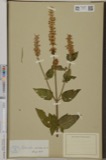 | Lophanthus nepetoides (L.) Benth. | 1865 | Holzer, L. | Delphos |
 | Hybopsis biguttatus (Kirtland, 1840) | 1929 | Trautman, M. B. (Milton Bernard) | Auglaize River, within Amanda township, near Spencerville, Amanda township |
 | Moxostoma erythrurum (Rafinesque, 1818) | 1929 | Trautman, M. B. (Milton Bernard) | Auglaize River, within Amanda township, near Spencerville, Amanda township |
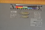 | Notropis boops Gilbert, 1884 | 1929 | Trautman, M. B. (Milton Bernard) | Auglaize River, within Amanda township, near Spencerville, Amanda township |
 | Notropis rubellus (Agassiz, 1850) | 1929 | Trautman, M. B. (Milton Bernard) | Auglaize River, within Amanda township, near Spencerville, Amanda township |
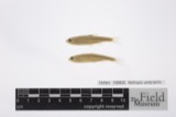 | Notropis umbratilis (Girard, 1856) | 1929 | Trautman, M. B. (Milton Bernard) | Auglaize River, within Amanda township, near Spencerville, Amanda township |
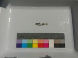 | Notropis volucellus volucellus | 1929 | Trautman, M. B. (Milton Bernard) | Auglaize River, within Amanda township, near Spencerville, Amanda township |
 | Opsopoeodus emiliae Hay, 1881 | 1929 | Trautman, M. B. (Milton Bernard) | Auglaize River, within Amanda township, near Spencerville, Amanda township |
 | Lepomis humilis (Girard, 1858) | 1939 | Roszman, F. D. | Jennings Creek, within Van Wert Co, Van Wert County, township n/a |
 | Orconectes rusticus (Girard, 1852) | 1939 | R. Rhoades & C. Clark | Jennings Creek on SR 116 |
 | Etheostoma blennioides blennioides Rafinesque, 1819 | 1941 | Trautman, M. B. (Milton Bernard) & Wascko, H. L. (Harold L.) | Auglaize River, at US 30, 2.3 miles east of Delphos OH, Marion Township section 28 |
 | Etheostoma flabellare Rafinesque, 1819 | 1941 | Trautman, M. B. (Milton Bernard) & Wascko, H. L. (Harold L.) | Auglaize River, at US 30, 2.3 miles east of Delphos OH, Marion Township section 28 |
All 86 specimens within 10 miles, at the Global Biodiversity Information Facility.
Mines and quarries near this place
3 within 5 milesRegional context, not property-specific evidence. The federal mineral resources record lists 3 workings within 5 miles of Landeck: 1 past producer, 1 plant, 1 producer. 2 still produce. What was taken out: Stone, Crushed/Broken, Limestone, General. Distance is straight-line from the map coordinates, so a quarry counted here may appear on a neighbouring settlement's page as well.
| Where | Site | Commodity | Status | Recorded |
|---|---|---|---|---|
| Suever Stone Quarry | Limestone, General | Past Producer | Sedimentary | |
| Delphos Quarry | Stone, Crushed/Broken | Producer | ||
| Suever Stone Quarry & Mill | Stone, Crushed/Broken | Plant |
Storms near this place
2 since 2021Regional context, not property-specific evidence. The National Weather Service names Landeck in 2 storm reports between 2021 and 2022: 1 tornado, 1 thunderstorm wind. No death or injury is recorded in these reports. Each account below is quoted exactly as the forecast office filed it, from the NOAA Storm Events Database, and each date opens the federal record of that event.
| When | Event | Place named | Harm | What the report says |
|---|---|---|---|---|
| May 2022 | Thunderstorm Wind | Landeck | - | Emergency management officials reported widespread wind damage in the Landeck area. This included trees and power poles being blown down, a chicken coop was destroyed and shingles off some roofs. In addition, a garage was shifted from its foundation. |
| August 2021 | Tornado (EF0) | Landeck | - | Drone and ground surveys confirmed a EF-U tornado tracked out of Van Wert county into Allen county just north of Fruend Road, crossing Southworth Road just north of Zion Church Road. The tornado then traveled through several fields for an additional 0.3 miles before lifting. ||This tornado is classified as unknown as the tornado did not damage any structures or trees, but did damage croplands. |
Nearest settlements
The eight closest, with where each one stands in the county. Distances are straight-line, computed from the Geographic Names Information System coordinates.
| Map | Place | Distance | Sheets |
|---|---|---|---|
| Southworth | 3.6 miles | 14 | |
| Holland Court | 3.8 miles | 14 | |
| Delphos | 3.8 miles | 14 | |
| Needmore (historical) | 4.5 miles | 14 | |
| Hartford (historical) | 5.9 miles | 14 | |
| Village Courts I | 6.2 miles | 14 | |
| Scotts Crossing | 6.2 miles | 14 | |
| Spencerville | 6.6 miles | 14 |
Provenance
This settlement is recorded in the Geographic Names Information System as feature 1056394. The sheet list is computed by point-in-boundary test against the United States Geological Survey's historical topographic inventory. Both are works of the United States government and carry no copyright under 17 U.S.C. 105.
Specimens. Global Biodiversity Information Facility (GBIF), https://www.gbif.org/. Only records licensed CC0 or CC BY are used. Records licensed CC BY-NC are excluded because this site carries advertising. Images are checked individually and any whose licence is non-commercial, no-derivatives or unreadable is refused.
Mines and quarries. USGS Mineral Resources Data System (MRDS) https://mrdata.usgs.gov/mrds/ A work of the United States government, no copyright under 17 U.S.C. 105.
Storms. NOAA National Centers for Environmental Information, Storm Events Database https://www.ncei.noaa.gov/stormevents/ A work of the United States government, no copyright under 17 U.S.C. 105. Narratives are quoted verbatim from the National Weather Service report and are not edited or summarised.