 Block
Block
Littleton, Massachusetts
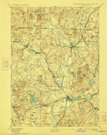
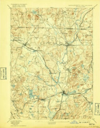
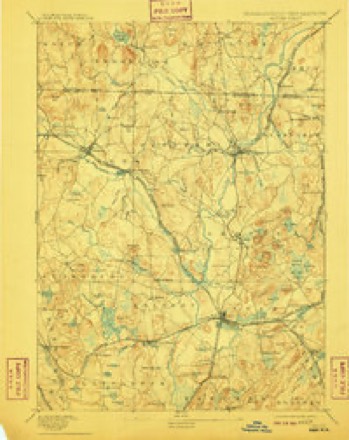
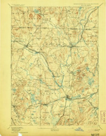
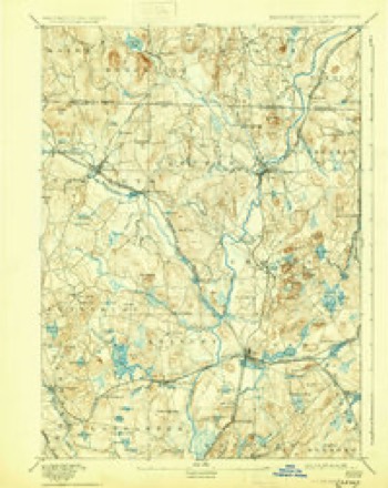
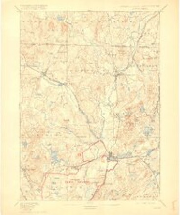
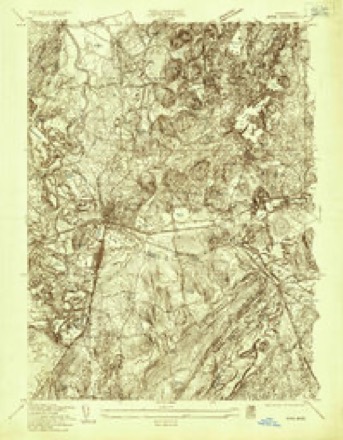
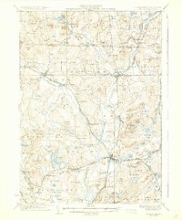
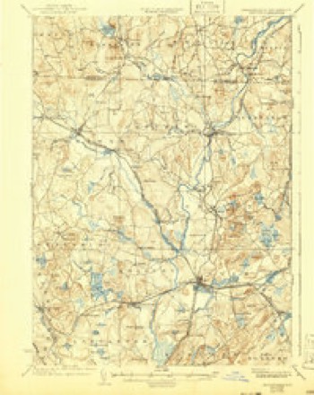
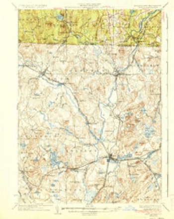
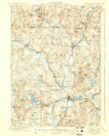
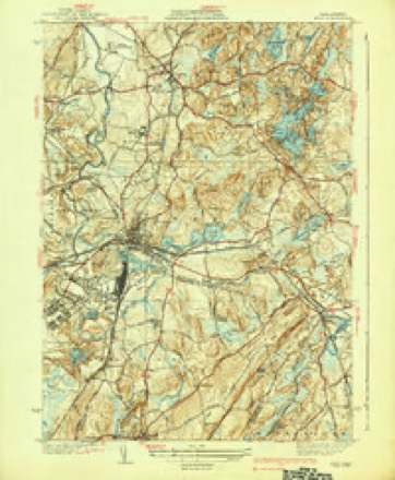
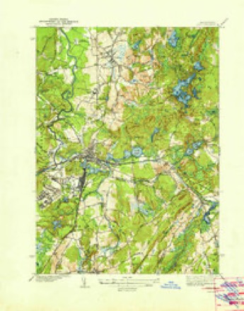
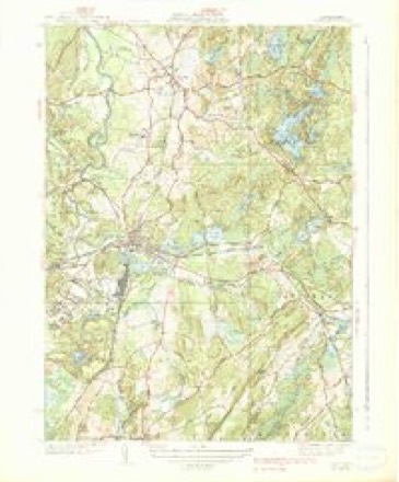
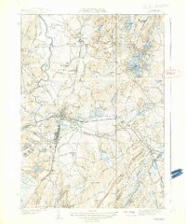
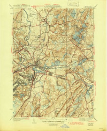
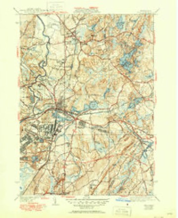
41 topographic sheets cover this place, the earliest surveyed in 1893 and the latest in 1988. It stands in Littleton town. It lies in ZIP code area 01460. It stands on Half Moon Brook. The Survey maps it on the Ayer quadrangle.
Then and now
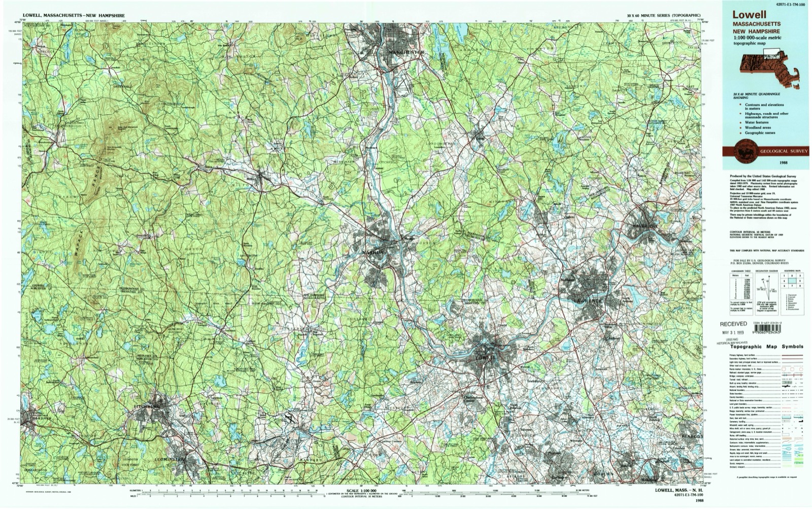
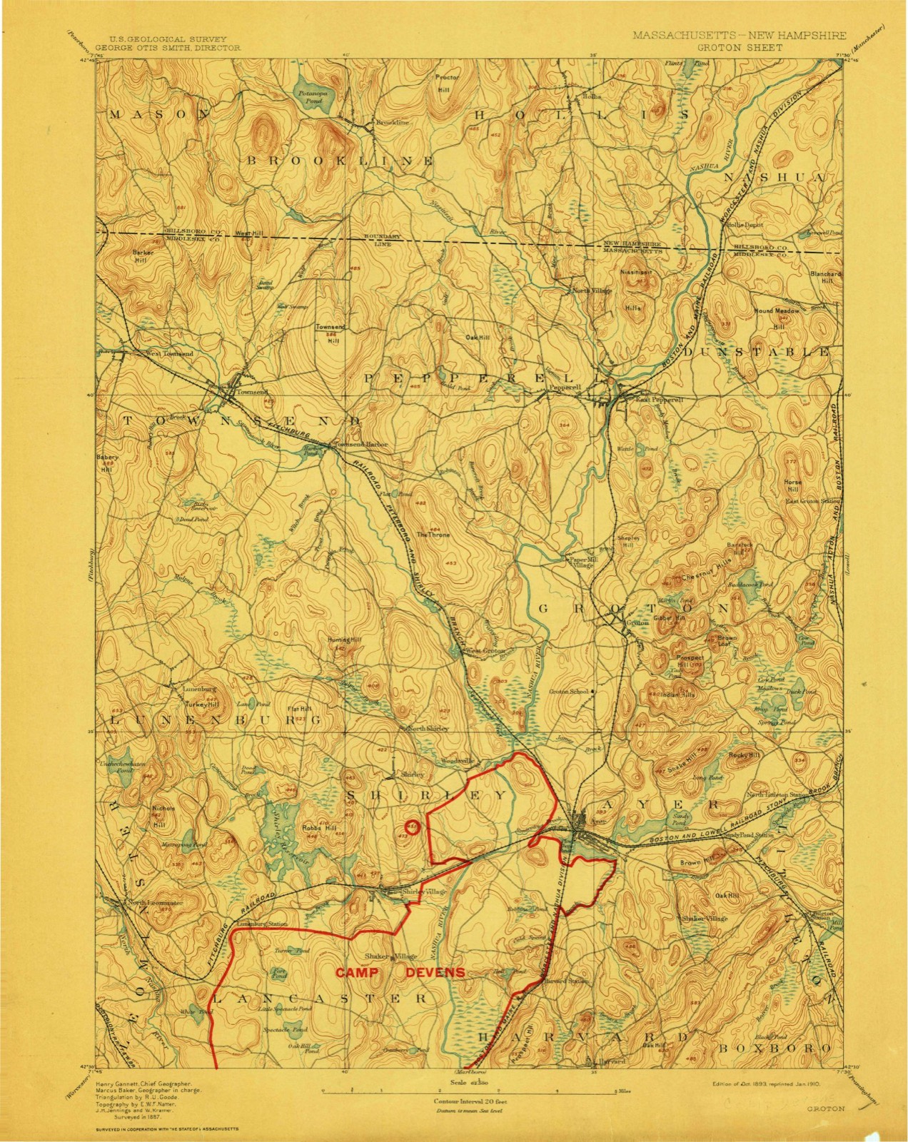
1893 to 1988The same ground, surveyed 95 years apart. Drag the handle to wipe between them. Both sheets are United States Geological Survey originals; neither has been altered.
Topographic sheets covering this place
41 sheetsMatched by testing this settlement's coordinate against the published boundary of every sheet in the United States Geological Survey's historical collection. Each opens the scanned sheet at the Survey.
- 1893 USGS Groton quadrangle1:62500
- 1893 USGS Groton quadrangle1:62500
- 1893 USGS Groton quadrangle1:62500
- 1893 USGS Groton quadrangle1:62500
- 1893 USGS Groton quadrangle1:62500
- 1893 USGS Groton quadrangle1:62500
- 1893 USGS Groton quadrangle1:62500
- 1893 USGS Groton quadrangle1:62500
- 1935 USGS Ayer quadrangle1:24000
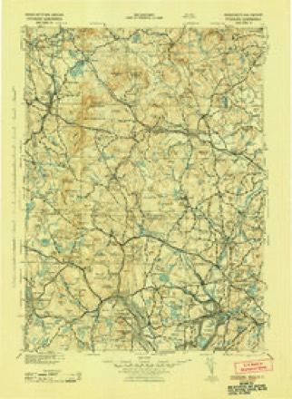
- 1935 USGS Groton quadrangle1:62500
- 1936 USGS Groton quadrangle1:62500
- 1936 USGS Groton quadrangle1:62500
- 1936 USGS Groton quadrangle1:62500
- 1939 USGS Ayer quadrangle1:31680
- 1939 USGS Ayer quadrangle1:31680
- 1939 USGS Ayer quadrangle1:31680
- 1939 USGS Ayer quadrangle1:31680
- 1939 USGS Ayer quadrangle1:31680
- 1939 USGS Ayer quadrangle1:31680
- 1943 USGS Fitchburg quadrangle1:125000
- 1948 USGS Boston quadrangle1:250000
- 1948 USGS Boston quadrangle1:250000
- 1950 USGS Ayer quadrangle1:24000
- 1956 USGS Boston quadrangle1:250000
- 1956 USGS Boston quadrangle1:250000
- 1956 USGS Boston quadrangle1:250000
- 1956 USGS Boston quadrangle1:250000
- 1956 USGS Boston quadrangle1:250000
- 1956 USGS Boston quadrangle1:250000
- 1958 USGS Boston quadrangle1:250000
- 1958 USGS Boston quadrangle1:250000
- 1961 USGS Boston quadrangle1:250000
- 1961 USGS Boston quadrangle1:250000
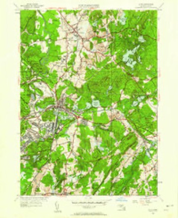
- 1966 USGS Ayer quadrangle1:25000
- 1966 USGS Ayer quadrangle1:24000
- 1966 USGS Ayer quadrangle1:24000
- 1984 USGS Lowell quadrangle1:100000
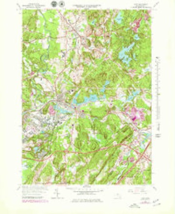
- 1988 USGS Ayer quadrangle1:25000
- 1988 USGS Ayer quadrangle1:25000
- 1988 USGS Lowell quadrangle1:100000
- 1988 USGS Lowell quadrangle1:100000












In the county-history sources
12,505 words on this townshipHistory of Middlesex County, Massachusetts : Containing Carefully Prepared Histories of Every City and Town in the County, published 1880 names this settlement in its chapter on Littleton Town. These are the passages that mention it, exactly as the scans read.
It is remarkable that the southeastern part of Littleton, now called Nashoba, w-as not a part of the Indian town, but was very early settled by white people and called Nashoba Farm. A family by the name of Shepard was living there in 1676, during King Philip's War. Tradition says that, in February of that year, Mary Shepard, a girl of fifteen, was stationed on Quagana Hill, a small rising south of Nashoba Hill, to warn her brothers, who were threshing, if any Indians" appeared ; but they stole up behind her, killed the brothers, and carried the girl away to Nashaway [Lancaster], from which place she escaped the same night, mounted a horse, swam the river, and rode home. The Reed house, the ruins of which may still be seen at the foot of Nashoba Hill, was built as a garrison probably about this time.
Passage source: History of Middlesex County, Massachusetts : Containing Carefully Prepared Histories of Every City and Town in the County, published 1880.
Of these original proprietors, a few lived in the town, the majority in the adjoining towns. The committee above mentioned made a report upon the Groton bounds, which they decided were the original ones, and though rather indefinitely stated, were probably the same as laid down by Jonathan Danforth and by a former committee of the General Court.
Passage source: History of Middlesex County, Massachusetts : Containing Carefully Prepared Histories of Every City and Town in the County, published 1880.
The name Littleton was given to the town by act of the General Court, December 3, 1715 (a date which has been erroneously given for the incorporation), as a compliment, it is said, to the Hon. George Lyltleton, M. P., one of the commissioners of the treasury, in return for which the noble gentleman presented the town with a church bell ; but on account of an error in spelling, by substituting "i" for "y," the present was withheld, with the excuse that no such town as Lyttleton could be found, and was sold by the person having it in charge. The first recorded townmeeting, for the choice of officers, was held March 13, 1715-16; the selectmen chosen were Samuel Dudley, John Perrum, John Cobleigh, Moses Whitney, and William Powers. On the 9th of May following, the Rev. Benjamin Shattuck, A. M., was chosen minister for the town, at a salary of £55 a year, to advance 'IQs a year until it amounted to £70.
Passage source: History of Middlesex County, Massachusetts : Containing Carefully Prepared Histories of Every City and Town in the County, published 1880.
Machine-read from a century-old scan, so expect the errors a machine makes: misspelled names, dropped words, stray characters.
Read the whole chapter on Littleton Town - it names this place 34 more 34 times.
Fires near this place
53 since 2015Regional context, not property-specific evidence. The federal wildfire occurrence database lists 53 fires within 5 miles of Littleton between 2015 and 2020, burning about 35 acres in total. None started naturally. 1 was recorded as arson. Distance is straight-line from the map coordinates, so a fire counted here may appear on a neighbouring settlement's page as well.
| Reported cause | Fires |
|---|---|
| Debris and open burning | 32 |
| Missing data/not specified/undetermined | 11 |
| Railroad operations and maintenance | 3 |
| Recreation and ceremony | 3 |
| Equipment and vehicle use | 2 |
| Smoking | 1 |
| Arson/incendiarism | 1 |
The most recent of them, most recent first, with the day each was reported and the service that recorded it.
| Date | Cause | Size | Reported by | Name on the report |
|---|---|---|---|---|
| 6 September 2015 | Recreation and ceremony | under an acre | Massachusetts Bureau of Forest Fire Control | not named |
| 20 September 2015 | Railroad operations and maintenance | under an acre | Massachusetts Bureau of Forest Fire Control | not named |
| 30 August 2015 | Recreation and ceremony | under an acre | Massachusetts Bureau of Forest Fire Control | not named |
| 3 July 2015 | Railroad operations and maintenance | under an acre | Massachusetts Bureau of Forest Fire Control | not named |
| 2 July 2017 | Railroad operations and maintenance | under an acre | Massachusetts Bureau of Forest Fire Control | not named |
| 24 June 2020 | Debris and open burning | under an acre | Massachusetts Bureau of Forest Fire Control | not named |
| 10 June 2020 | Debris and open burning | under an acre | Massachusetts Bureau of Forest Fire Control | not named |
| 8 May 2020 | Debris and open burning | under an acre | Massachusetts Bureau of Forest Fire Control | not named |
Settlements close enough to share some of these fires:
Specimens collected near this place
12 of 599 shownRegional context, not property-specific evidence. Museums hold 599 specimens collected within 10 miles of Littleton between 1898 and 1975: 314 Animalia, 154 Plantae, 63 Fungi, 62 Protozoa, 3 Unrecorded, 3 Chromista. 12 distinct Species records are shown. Collected by A. B. Seymour, A. C. Gibson, A. F. Newton and others. Each is a physical object with a catalogue number, and each entry opens the museum's record. This is what was collected and kept, not a survey of what lives here - nothing can be concluded from a species being absent.
| Image | Species | Year | Collected by | Where, as recorded |
|---|---|---|---|---|
 | Boletus griseus Frost | 1898 | H. Webster | |
 | Exosporium pusillum P.Karst. | 1898 | King C. A. | Stony Brook |
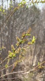 | Salix eriocephala Michx. | 1898 | E. F. Williams | |
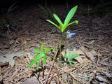 | Viola brittoniana Pollard | 1898 | Henry A. Purdie | |
 | Chrysosplenium americanum Schwein. ex Hook. | 1899 | E. F. Williams | |
 | Marsilea quadrifolia L. | 1899 | not recorded | |
| Araiospora pulchra Thaxt. | 1900 | Thaxter, R. | Stony Brook | |
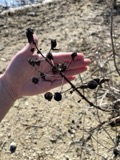 | Cephalanthus occidentalis L. | 1900 | M. Rodman | Concord. |
 | Nuphar advena (Aiton) Aiton | 1900 | M. Rodman | Concord. |
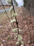 | Salix humilis var. microphylla (Andersson) Fernald | 1900 | M. Rodman | Concord. |
 | Alopecurus aequalis Sobol. | 1930 | M. L. Fernald & C. A. Weatherby | Pepperell |
| Botryobasidium vagum (Berk. & M.A.Curtis) D.P.Rogers | 1930 | O. C. Boyd | Concord |
All 599 specimens within 10 miles, at the Global Biodiversity Information Facility.
Mines and quarries near this place
10 within 5 milesRegional context, not property-specific evidence. The federal mineral resources record lists 10 workings within 5 miles of Littleton: 5 past producers, 3 producers, 1 occurrence, 1 plant. 4 still produce. What was taken out: Sand and Gravel, Construction, Kyanite, Graphite. Distance is straight-line from the map coordinates, so a quarry counted here may appear on a neighbouring settlement's page as well.
| Where | Site | Commodity | Status | Recorded |
|---|---|---|---|---|
| Fiber Matls Plant--Graniteville, Ma | Graphite | Plant | ||
| Oak Hill Andalusite Occurrence | Kyanite | Occurrence | Metamorphic | |
| Boxborough Pit | Sand and Gravel, Construction | Producer | ||
| D. B. Raymond Sand and Gravel Pit | Sand and Gravel, Construction | Past Producer | ||
| Nardone Pit | Sand and Gravel, Construction | Producer | ||
| Nardone Sand and Gravel Co | Sand and Gravel, Construction | Past Producer | Sedimentary | |
| San Vel Contracting Co | Sand and Gravel, Construction | Past Producer | Sedimentary | |
| San Vel Pit & Plant | Sand and Gravel, Construction | Producer | ||
| Stow Sand and Gravel Inc | Sand and Gravel, Construction | Past Producer | Sedimentary | |
| Willow Pit | Sand and Gravel, Construction | Past Producer |
Storms near this place
12 since 1994Regional context, not property-specific evidence. The National Weather Service names Littleton in 12 storm reports between 1994 and 2022: 6 thunderstorm wind, 3 hail, 1 lightning, 1 funnel cloud. The reports record 2 injuries. Each account below is quoted exactly as the forecast office filed it, from the NOAA Storm Events Database, and each date opens the federal record of that event.
| When | Event | Place named | Harm | What the report says |
|---|---|---|---|---|
| July 1996 | Lightning | Littleton | 2 hurt | no account filed |
| June 1998 | Flash Flood | Littleton | $570,000 | Beaver Brook |
| March 2022 | Thunderstorm Wind | Littleton | $1,000 | In Littleton, trees were down on both Foster Street and Shaker Lane. |
| May 2008 | Thunderstorm Wind | Littleton | $1,000 | Trees and wires on Goldsmith Street were downed by thunderstorm winds. |
| June 2007 | Hail | Littleton | - | Penny size hail. |
| July 1994 | Thunderstorm Wind | Littleton | - | Two trees were blown down and one fell on an unoccupied tent at a campground. There were no injuries. |
| July 1994 | Thunderstorm Wind | Littleton | - | A peak wind gust to 58 mph during a thunderstorm was recorded by the Littleton Police Dept. Pea-size hail reportedly covered the ground in Westford and pea- to marble-size hail was reported in Groton. |
| July 1999 | Hail | Littleton | - | no account filed |
| May 1998 | Thunderstorm Wind | Littleton | - | no account filed |
| July 1997 | Hail | Littleton | - | no account filed |
| July 1996 | Thunderstorm Wind | Littleton | - | no account filed |
| July 1996 | Funnel Cloud | Littleton | - | no account filed |
Nearest settlements
The eight closest, with where each one stands in the county. Distances are straight-line, computed from the Geographic Names Information System coordinates.
| Map | Place | Distance | Sheets |
|---|---|---|---|
| Centre Village (historical) | 1.6 miles | 43 | |
| Pingryville | 1.6 miles | 41 | |
| Willows | 2.0 miles | 41 | |
| Littleton Common | 2.1 miles | 43 | |
| Boxboro Station | 2.5 miles | 43 | |
| New Town (historical) | 2.8 miles | 43 | |
| Devenscrest | 3.0 miles | 41 | |
| Forge Village | 3.2 miles | 43 |
Provenance
This settlement is recorded in the Geographic Names Information System as feature 611132. The sheet list is computed by point-in-boundary test against the United States Geological Survey's historical topographic inventory. Both are works of the United States government and carry no copyright under 17 U.S.C. 105.
Wildfire. Short, Karen C. 2022. Spatial wildfire occurrence data for the United States, 1992-2020 [FPA_FOD_20221014]. 6th Edition. Fort Collins, CO: Forest Service Research Data Archive. https://doi.org/10.2737/RDS-2013-0009.6 Collected with United States Government funding and usable without additional permissions or fees.
Specimens. Global Biodiversity Information Facility (GBIF), https://www.gbif.org/. Only records licensed CC0 or CC BY are used. Records licensed CC BY-NC are excluded because this site carries advertising. Images are checked individually and any whose licence is non-commercial, no-derivatives or unreadable is refused.
Mines and quarries. USGS Mineral Resources Data System (MRDS) https://mrdata.usgs.gov/mrds/ A work of the United States government, no copyright under 17 U.S.C. 105.
Storms. NOAA National Centers for Environmental Information, Storm Events Database https://www.ncei.noaa.gov/stormevents/ A work of the United States government, no copyright under 17 U.S.C. 105. Narratives are quoted verbatim from the National Weather Service report and are not edited or summarised.