 Block
Block
Lockbourne, Ohio
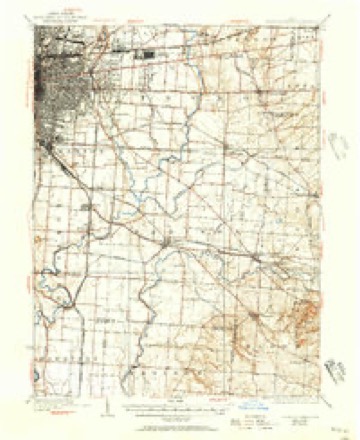
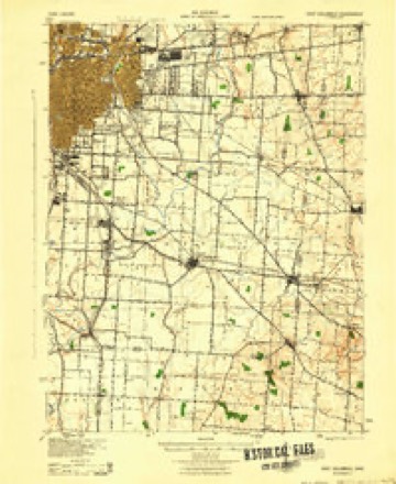
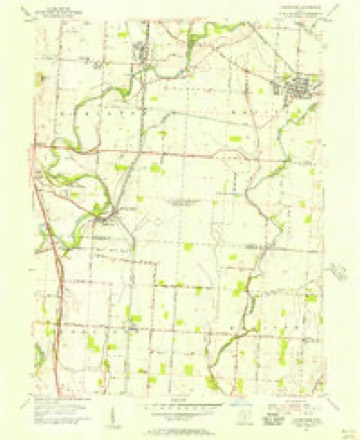
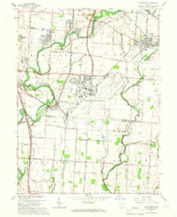
15 topographic sheets cover this place, the earliest surveyed in 1925 and the latest in 1992. It stands in Hamilton Township. It lies in ZIP code area 43137. The Survey maps it on the Lockbourne quadrangle. 236 people lived here at the 2020 count. It stands 712 feet above sea level.
Population over time
2 figuresLockbourne fell from 237 to 236 between 2010 and 2020. These are the recorded population figures Wikidata holds for this place, reached through the Geographic Names Information System number this page is keyed on rather than by name, so they belong to this place and not to another of the same name. Most are census counts, but not all are: an early figure may be a founding or settlement estimate. The change column is computed, and is left blank where more than 20 years separate a figure from the one before it, because a gap that long is not a change between two counts.
| Year | People | Change |
|---|---|---|
| 2010 | 237 | |
| 2020 | 236 | -1 (-0%) |
Then and now
1925 to 1992The same ground, surveyed 67 years apart. Drag the handle to wipe between them. Both sheets are United States Geological Survey originals; neither has been altered.
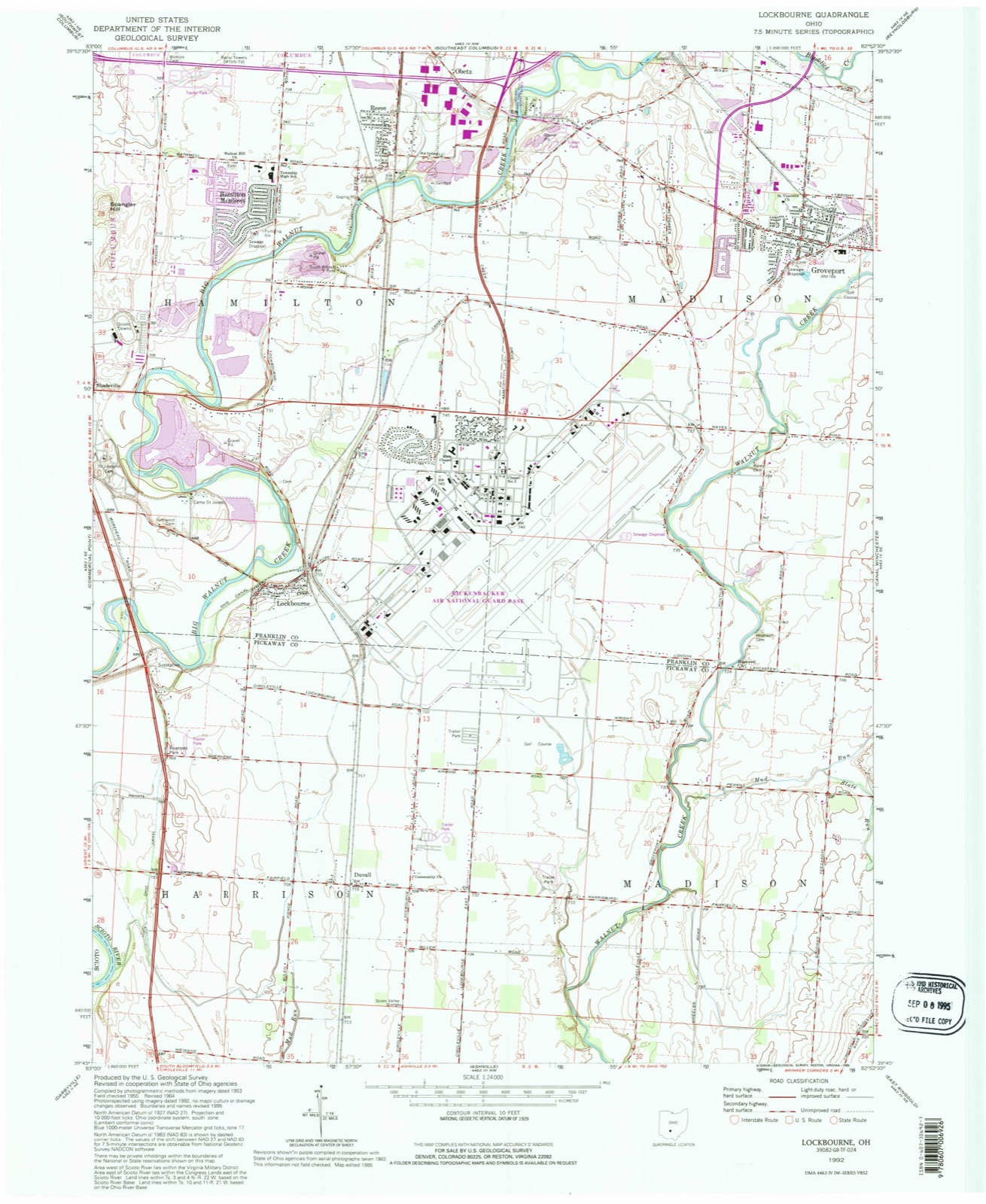
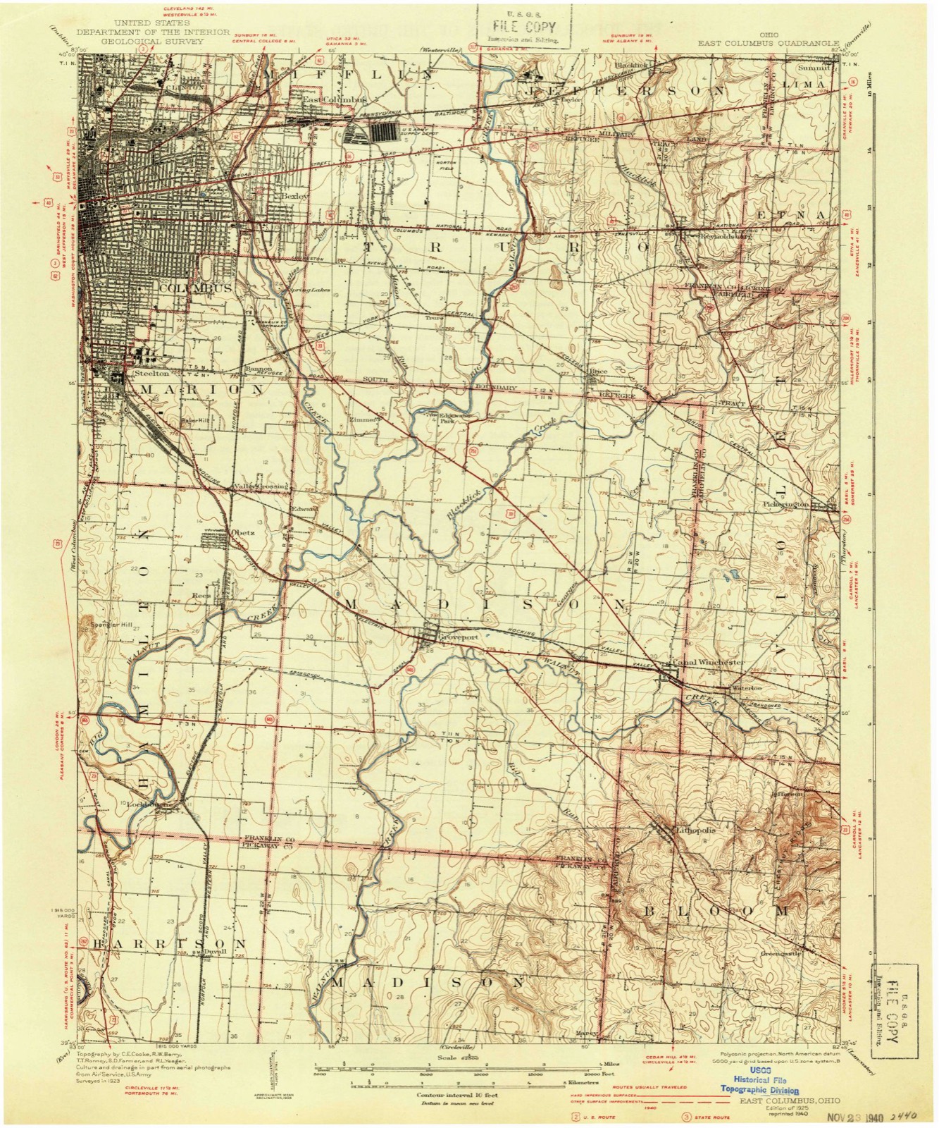
Compare 1925 against another survey:
Topographic sheets covering this place
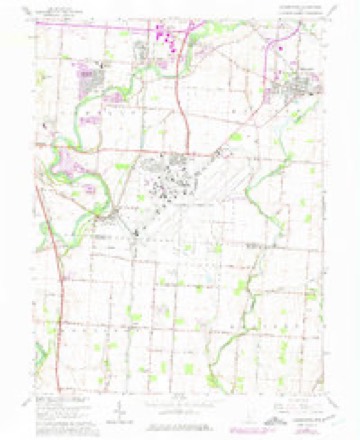
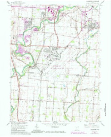
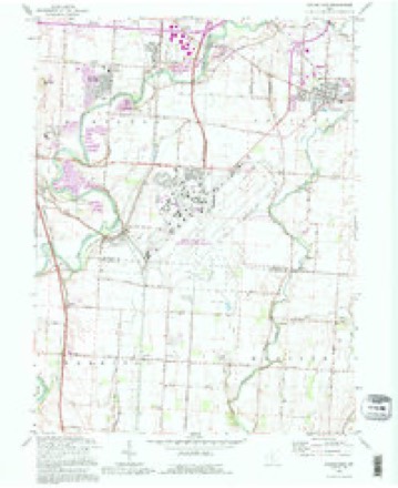
15 sheetsMatched by testing this settlement's coordinate against the published boundary of every sheet in the United States Geological Survey's historical collection. Each opens the scanned sheet at the Survey.
- 1925 USGS East Columbus quadrangle1:62500
- 1925 USGS East Columbus quadrangle1:62500
- 1925 USGS East Columbus quadrangle1:62500
- 1943 USGS East Columbus quadrangle1:62500
- 1947 USGS Columbus quadrangle1:250000
- 1955 USGS Lockbourne quadrangle1:24000
- 1961 USGS Columbus quadrangle1:250000
- 1962 USGS Columbus quadrangle1:250000
- 1964 USGS Lockbourne quadrangle1:24000
- 1964 USGS Lockbourne quadrangle1:24000
- 1964 USGS Lockbourne quadrangle1:24000
- 1967 USGS Columbus quadrangle1:250000
- 1967 USGS Columbus quadrangle1:250000
- 1984 USGS Lancaster quadrangle1:100000
- 1992 USGS Lockbourne quadrangle1:24000






In the county-history sources
536 words on this townshipHistory of Franklin County [Ohio]:, published 1858 names this settlement in its chapter on Hamilton Township. These are the passages that mention it, exactly as the scans read.
In the fall of 1831, the town of Lockbourne was laid out by Col. Kilbourne, as the agent of Joel Buttles, Demas Adams and others. It now contains about sixty or seventy families, two churches, one denominated the United Brethren in Christ, who have a comfortable wooden church building, erected about the year 1843, the other Methodist Episcopal, w^ith a neat brick church edifice, erected in 1850, two dry goods stores, three groceries, two taverns, three practicing physicians, a grist mill, a saw mill and a post office, established in 1837.
Passage source: History of Franklin County [Ohio]:, published 1858.
Machine-read from a century-old scan, so expect the errors a machine makes: misspelled names, dropped words, stray characters.
Read the whole chapter on Hamilton Township - it names this place 1 more 1 time.
Specimens collected near this place
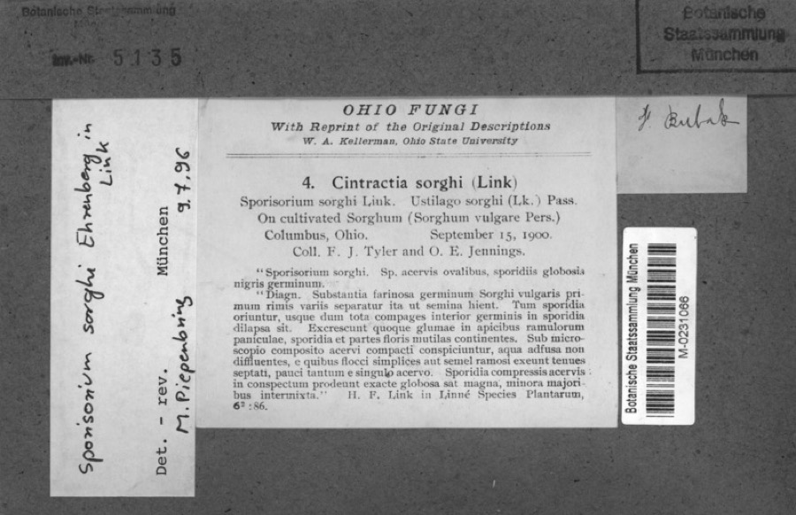
12 of 904 shownRegional context, not property-specific evidence. Museums hold 904 specimens collected within 10 miles of Lockbourne between 1841 and 1975: 864 Animalia, 21 Fungi, 15 Plantae, 3 Unrecorded, 1 Chromista. 12 distinct Species records are shown. Collected by A. Gray & J. Torrey, A.J. Sharp, B. Fink and others. Each is a physical object with a catalogue number, and each entry opens the museum's record. This is what was collected and kept, not a survey of what lives here - nothing can be concluded from a species being absent.
| Image | Species | Year | Collected by | Where, as recorded |
|---|---|---|---|---|
 | Sorghum bicolor (L.) Moench | 1900 | Jennings, O.E. | Columbus, Ohio. |
 | Campylium stellatum (Hedw.) Lange & C.E.O.Jensen | 1841 | W. S. Sullivant | 2 mi S of Columbus |
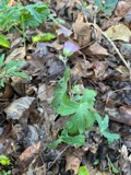 | Geranium maculatum L. | 1841 | A. Gray & J. Torrey | Franklin Co., Columbus |
 | Plagiochila porelloides (Torr. ex Nees) Lindenb. | 1845 | W. S. Sullivant | |
 | Actinonaias ligamentina (Lamarck, 1819) | 1862 | Whiteaves, Joseph F. | Scioto Riv. |
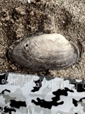 | Anodontoides ferussacianus (I.Lea, 1834) | 1885 | Moores, Henry | Columbus |
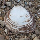 | Pleurobema sintoxia (Rafinesque, 1820) | 1885 | Moores, Henry | Columbus |
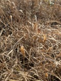 | Gentianopsis crinita (Froel.) Ma | 1892 | E. M. Wilcox | Near Columbus, S of city |
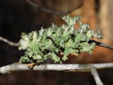 | Parmotrema hypotropum (Nyl.) Hale | 1892 | E. E. Bogue | |
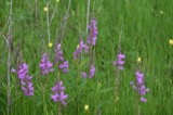 | Physostegia virginiana subsp. praemorsa (Shinners) P.D.Cantino | 1892 | E. M. Wilcox | Near Columbus, S of city |
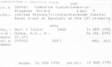 | Cambarus diogenes Girard, 1852 | 1897 | R.C.O. et al. | Lockbourne |
 | Cambarus rusticus Girard, 1852 | 1897 | R. Osburn & E. Williamson | Big Walnut Creek |
All 904 specimens within 10 miles, at the Global Biodiversity Information Facility.
Mines and quarries near this place
9 within 5 milesRegional context, not property-specific evidence. The federal mineral resources record lists 9 workings within 5 miles of Lockbourne: 5 producers, 3 past producers, 1 plant. 6 still produce. What was taken out: Sand and Gravel, Construction. Distance is straight-line from the map coordinates, so a quarry counted here may appear on a neighbouring settlement's page as well.
| Where | Site | Commodity | Status | Recorded |
|---|---|---|---|---|
| Franklin Sand and Gravel Pit | Sand and Gravel, Construction | Past Producer | Sedimentary | |
| J.P. Sand and Gravel Company | Sand and Gravel, Construction | Producer | ||
| J.P. Sand and Gravel Pit | Sand and Gravel, Construction | Past Producer | Sedimentary | |
| Lockbourne No. 213 Pit & Mill | Sand and Gravel, Construction | Plant | ||
| Lockbourne Number 213 Pit | Sand and Gravel, Construction | Past Producer | Sedimentary | |
| Masons Plant Number 2 Pit | Sand and Gravel, Construction | Producer | ||
| Mcdaniel Pit | Sand and Gravel, Construction | Producer | ||
| Mcdermit Pit and Plant | Sand and Gravel, Construction | Producer | ||
| Medusa Pit | Sand and Gravel, Construction | Producer |
Storms near this place
1 since 2012Regional context, not property-specific evidence. The National Weather Service names Lockbourne in 1 storm report between 2012 and 2012: 1 thunderstorm wind. No death or injury is recorded in these reports. Each account below is quoted exactly as the forecast office filed it, from the NOAA Storm Events Database, and each date opens the federal record of that event.
| When | Event | Place named | Harm | What the report says |
|---|---|---|---|---|
| July 2012 | Thunderstorm Wind | Lockbourne | $1,000 | A trees was downed over a road due to damaging thunderstorm winds. |
Nearest settlements
The eight closest, with where each one stands in the county. Distances are straight-line, computed from the Geographic Names Information System coordinates.
| Map | Place | Distance | Sheets |
|---|---|---|---|
| Shadeville | 2.3 miles | 12 | |
| Hamilton Meadows | 3.0 miles | 15 | |
| Scioto Meadows | 3.0 miles | 12 | |
| Village At Scioto Meadows | 3.2 miles | 12 | |
| Sharp (historical) | 3.3 miles | 15 | |
| Zuber (historical) | 3.4 miles | 12 | |
| Hennigans Grove | 3.4 miles | 12 | |
| Reese | 4.1 miles | 15 |
Elsewhere
Matched on this settlement's Geographic Names Information System number rather than its name, so it cannot be a different place of the same name in another state.
| Wikipedia article on Lockbourne | An encyclopaedic summary. Its text is share-alike, so it is linked here rather than copied. |
| Wikidata item Q1816739 | The structured record the population and elevation above come from. Public domain (CC0). |
Provenance
This settlement is recorded in the Geographic Names Information System as feature 1065015. The sheet list is computed by point-in-boundary test against the United States Geological Survey's historical topographic inventory. Both are works of the United States government and carry no copyright under 17 U.S.C. 105.
Specimens. Global Biodiversity Information Facility (GBIF), https://www.gbif.org/. Only records licensed CC0 or CC BY are used. Records licensed CC BY-NC are excluded because this site carries advertising. Images are checked individually and any whose licence is non-commercial, no-derivatives or unreadable is refused.
Mines and quarries. USGS Mineral Resources Data System (MRDS) https://mrdata.usgs.gov/mrds/ A work of the United States government, no copyright under 17 U.S.C. 105.
Storms. NOAA National Centers for Environmental Information, Storm Events Database https://www.ncei.noaa.gov/stormevents/ A work of the United States government, no copyright under 17 U.S.C. 105. Narratives are quoted verbatim from the National Weather Service report and are not edited or summarised.