 Block
Block
Lockville, Ohio
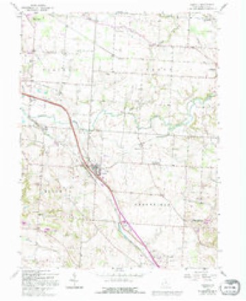
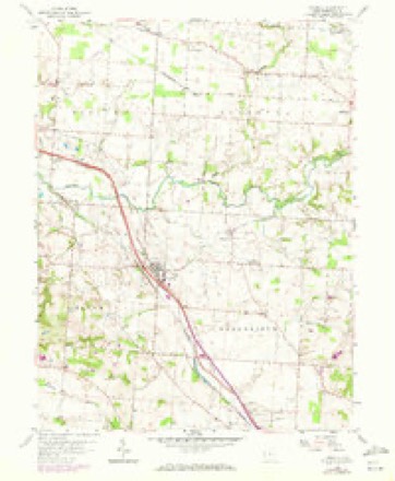
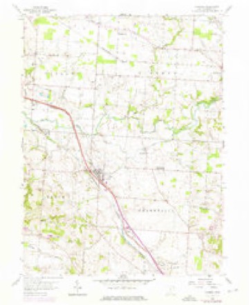
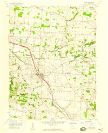
12 topographic sheets cover this place, the earliest surveyed in 1907 and the latest in 1984. It stands in Bloom Township. It lies in ZIP code area 43112. It stands on Sycamore Creek. The Survey maps it on the Carroll quadrangle.
Then and now
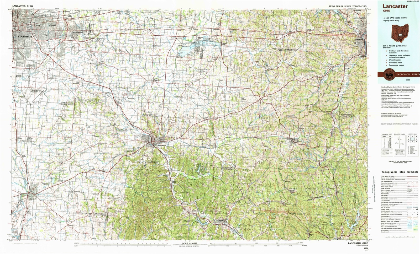
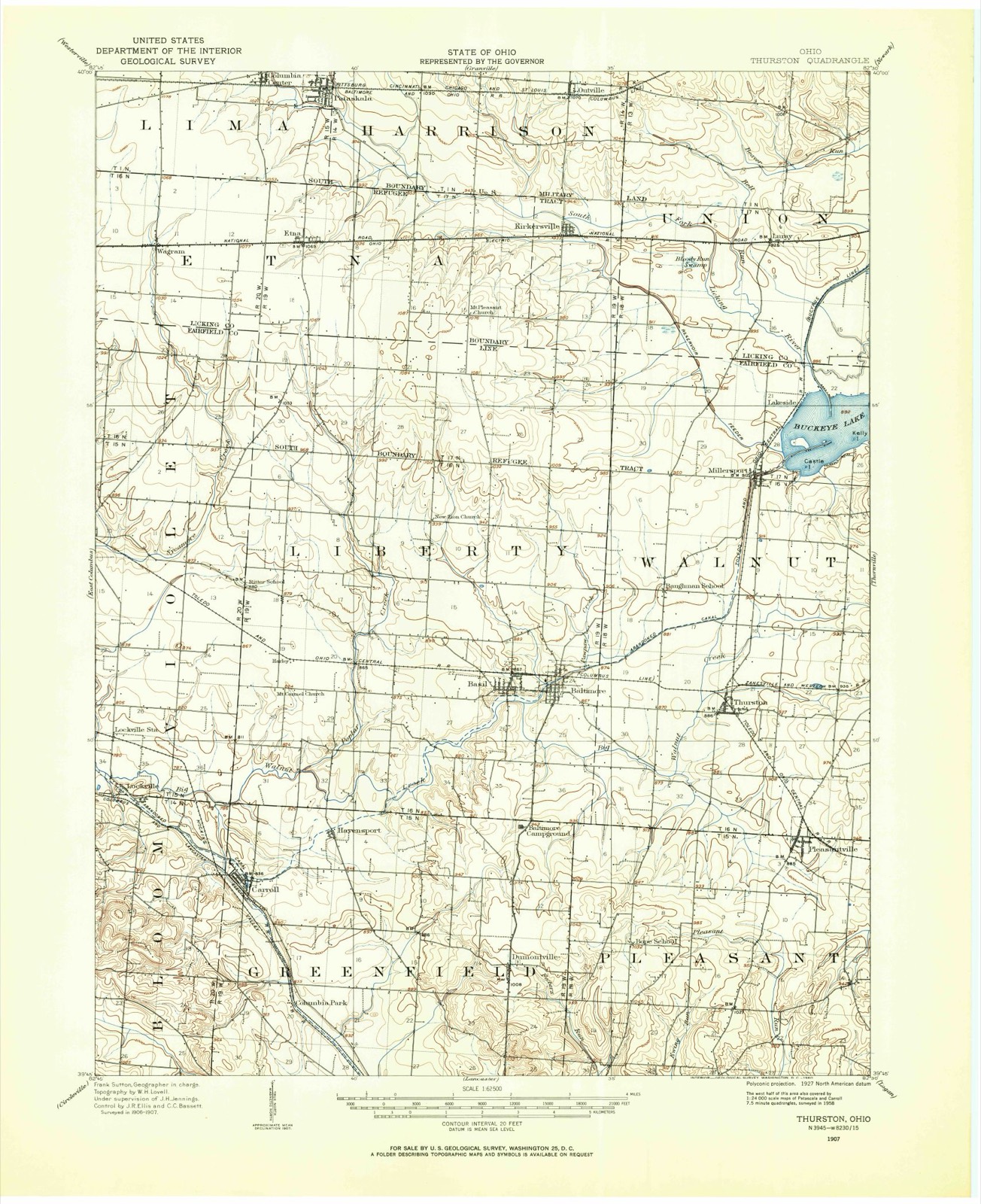
1907 to 1984The same ground, surveyed 77 years apart. Drag the handle to wipe between them. Both sheets are United States Geological Survey originals; neither has been altered.
Topographic sheets covering this place
12 sheetsMatched by testing this settlement's coordinate against the published boundary of every sheet in the United States Geological Survey's historical collection. Each opens the scanned sheet at the Survey.
- 1907 USGS Thurston quadrangle1:62500
- 1909 USGS Thurston quadrangle1:62500
- 1947 USGS Columbus quadrangle1:250000
- 1958 USGS Carroll quadrangle1:24000
- 1958 USGS Carroll quadrangle1:24000
- 1958 USGS Carroll quadrangle1:24000
- 1958 USGS Carroll quadrangle1:24000
- 1961 USGS Columbus quadrangle1:250000
- 1962 USGS Columbus quadrangle1:250000
- 1967 USGS Columbus quadrangle1:250000
- 1967 USGS Columbus quadrangle1:250000
- 1984 USGS Lancaster quadrangle1:100000






In the county-history sources
1,854 words on this townshipA Complete History of Fairfield County, Ohio, published 1877; History of Fairfield County, Ohio, and Representative Citizens, published 1912 names this settlement in its chapter on Bloom Township. These are the passages that mention it, exactly as the scans read.
A quaint rule is spoken of as having been established in this township in its early history, viz. : No man was allowed to vote at their elections who could not produce a certificate that he had performed two days' work on the road, removing the stumps.
Passage source: A Complete History of Fairfield County, Ohio, published 1877.
The township was laid off in 1805; the early settlers were the Hushors, Meyers, Clicks. Clarks, Hoys, Courtrights, Scotts, Crites, Williamsons and others. Abraham Van Courtright came from Pennsylvania in 1 80 1. He married Miss McFarland of Greenfield Township and settled two miles south of Lockville near the Betzer Church. Jesse D. Courtright laid out Greencastle in 1810 and had it surveyed by John Hamilton. Samuel Weisser came from Pennsylvania in 1818 and kept a blacksmith shop for forty years. He was justice of the peace for. thirty-five years and an official member of the church fifty years.
Passage source: History of Fairfield County, Ohio, and Representative Citizens, published 1912.
The old Betzer Church, two miles south of Lockville, has had an interesting history. It is one of the oldest churches in the township, is union in character, having been German Reformed. Lutheran and Presbyterian. It was built of hewed log in 1809. The present building was built in 1882. The Fellers Hill, upon which this church is built, commands one of the most picturescjue views to be seen in the county. From this point with the naked eye can be seen fields and streams, \alley, hill, and woodland until Newark and the hills of Granville skirt the horizon twenty miles away. The country is gently undulating and very fertile.
Passage source: History of Fairfield County, Ohio, and Representative Citizens, published 1912.
Machine-read from a century-old scan, so expect the errors a machine makes: misspelled names, dropped words, stray characters.
Fires near this place
3 since 2012Regional context, not property-specific evidence. The federal wildfire occurrence database lists 3 fires within 5 miles of Lockville between 2012 and 2020, burning about 27 acres in total. None started naturally. None was recorded as arson. Distance is straight-line from the map coordinates, so a fire counted here may appear on a neighbouring settlement's page as well.
| Reported cause | Fires |
|---|---|
| Debris and open burning | 3 |
The most recent of them, most recent first, with the day each was reported and the service that recorded it.
| Date | Cause | Size | Reported by | Name on the report |
|---|---|---|---|---|
| 7 March 2012 | Debris and open burning | 25 acres | Wayne National Forest | SR 522 |
| 7 November 2020 | Debris and open burning | under an acre | Ohio Department of Natural Resources | 15924 |
| 4 November 2020 | Debris and open burning | 2.5 acres | Ohio Department of Natural Resources | 15878 |
Settlements close enough to share some of these fires:
Specimens collected near this place
12 of 1,850 shownRegional context, not property-specific evidence. Museums hold 1,850 specimens collected within 10 miles of Lockville between 1843 and 1975: 1,731 Animalia, 69 Fungi, 46 Plantae, 4 Protozoa. 12 distinct Species records are shown. Collected by Asa Gray; W. S. Sullivant, Bales, B. R., Birch, W. and others. Each is a physical object with a catalogue number, and each entry opens the museum's record. This is what was collected and kept, not a survey of what lives here - nothing can be concluded from a species being absent.
| Image | Species | Year | Collected by | Where, as recorded |
|---|---|---|---|---|
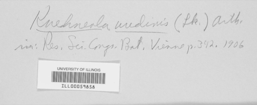 | Kuehneola uredinis (Link) Arthur | 1891 | Freda Detmers | Rock Mill |
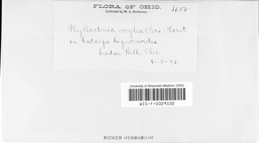 | Phyllactinia corylea (Pers.) P.Karst. | 1892 | W.A. Kellerman | |
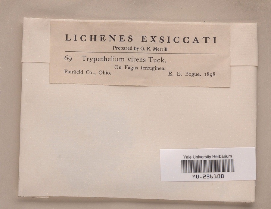 | Trypethelium virens Tuck. | 1898 | Ernst E. Bogue | |
 | Bryoxiphium norvegicum (Brid.) Mitt. | 1843 | Asa Gray; W. S. Sullivant | near Lancaster |
 | Phyllogonium norvegicum Brid. | 1843 | Gray, A.; W. S. Sullivant | near Lancaster |
 | Anas discors Linnaeus, 1766 | 1859 | Trautman, M. B. (Milton Bernard) | Buckeye Lake "Middle Bank", Fairfield, Ohio, USA |
 | Bonasa umbellus (Linnaeus, 1766) | 1874 | not recorded | Lancaster, Fairfield, Ohio, USA |
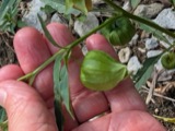 | Physalis longifolia Nutt. | 1878 | Kellerman, W.A. | Lancaster, Ohio. |
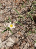 | Sida spinosa L. | 1878 | Kellerman, W.A. | Lancaster, Ohio. |
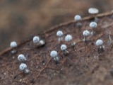 | Didymium squamulosum (Alb. & Schwein.) Fr. & Palmquist, 1818 | 1883 | Kellerman, W. A. | Lancaster |
| Gnomonia sassafras Ellis & Everh. | 1883 | W. A. Kellerman | ||
| Leptostroma vulgare Fr. | 1883 | W. A. Kellerman |
All 1,850 specimens within 10 miles, at the Global Biodiversity Information Facility.
Mines and quarries near this place
2 within 5 milesRegional context, not property-specific evidence. The federal mineral resources record lists 2 workings within 5 miles of Lockville: 2 producers. All of them still produce. What was taken out: Sand and Gravel, Construction. Distance is straight-line from the map coordinates, so a quarry counted here may appear on a neighbouring settlement's page as well.
| Where | Site | Commodity | Status | Recorded |
|---|---|---|---|---|
| Favil Pit | Sand and Gravel, Construction | Producer | ||
| Jimmys Pit | Sand and Gravel, Construction | Producer |
Storms near this place
1 since 2022Regional context, not property-specific evidence. The National Weather Service names Lockville in 1 storm report between 2022 and 2022: 1 thunderstorm wind. No death or injury is recorded in these reports. Each account below is quoted exactly as the forecast office filed it, from the NOAA Storm Events Database, and each date opens the federal record of that event.
| When | Event | Place named | Harm | What the report says |
|---|---|---|---|---|
| June 2022 | Thunderstorm Wind | Lockville | $2,000 | A large tree was uprooted and a shed received minor damage near the intersection of Jefferson and Pickerington Roads. |
Nearest settlements
The eight closest, with where each one stands in the county. Distances are straight-line, computed from the Geographic Names Information System coordinates.
| Map | Place | Distance | Sheets |
|---|---|---|---|
| Lockville Station | 1.2 miles | 12 | |
| Jefferson | 1.5 miles | 16 | |
| Jefferson Woods | 2.0 miles | 12 | |
| Slough | 2.0 miles | 16 | |
| Carroll | 2.2 miles | 12 | |
| Woodstream | 2.7 miles | 16 | |
| Havensport | 3.3 miles | 12 | |
| Harley | 3.4 miles | 12 |
Elsewhere
Matched on this settlement's Geographic Names Information System number rather than its name, so it cannot be a different place of the same name in another state.
| Wikipedia article on Lockville | An encyclopaedic summary. Its text is share-alike, so it is linked here rather than copied. |
| Wikidata item Q22133916 | The structured record the population and elevation above come from. Public domain (CC0). |
Provenance
This settlement is recorded in the Geographic Names Information System as feature 1065017. The sheet list is computed by point-in-boundary test against the United States Geological Survey's historical topographic inventory. Both are works of the United States government and carry no copyright under 17 U.S.C. 105.
Wildfire. Short, Karen C. 2022. Spatial wildfire occurrence data for the United States, 1992-2020 [FPA_FOD_20221014]. 6th Edition. Fort Collins, CO: Forest Service Research Data Archive. https://doi.org/10.2737/RDS-2013-0009.6 Collected with United States Government funding and usable without additional permissions or fees.
Specimens. Global Biodiversity Information Facility (GBIF), https://www.gbif.org/. Only records licensed CC0 or CC BY are used. Records licensed CC BY-NC are excluded because this site carries advertising. Images are checked individually and any whose licence is non-commercial, no-derivatives or unreadable is refused.
Mines and quarries. USGS Mineral Resources Data System (MRDS) https://mrdata.usgs.gov/mrds/ A work of the United States government, no copyright under 17 U.S.C. 105.
Storms. NOAA National Centers for Environmental Information, Storm Events Database https://www.ncei.noaa.gov/stormevents/ A work of the United States government, no copyright under 17 U.S.C. 105. Narratives are quoted verbatim from the National Weather Service report and are not edited or summarised.