 Block
Block
Carroll, Ohio
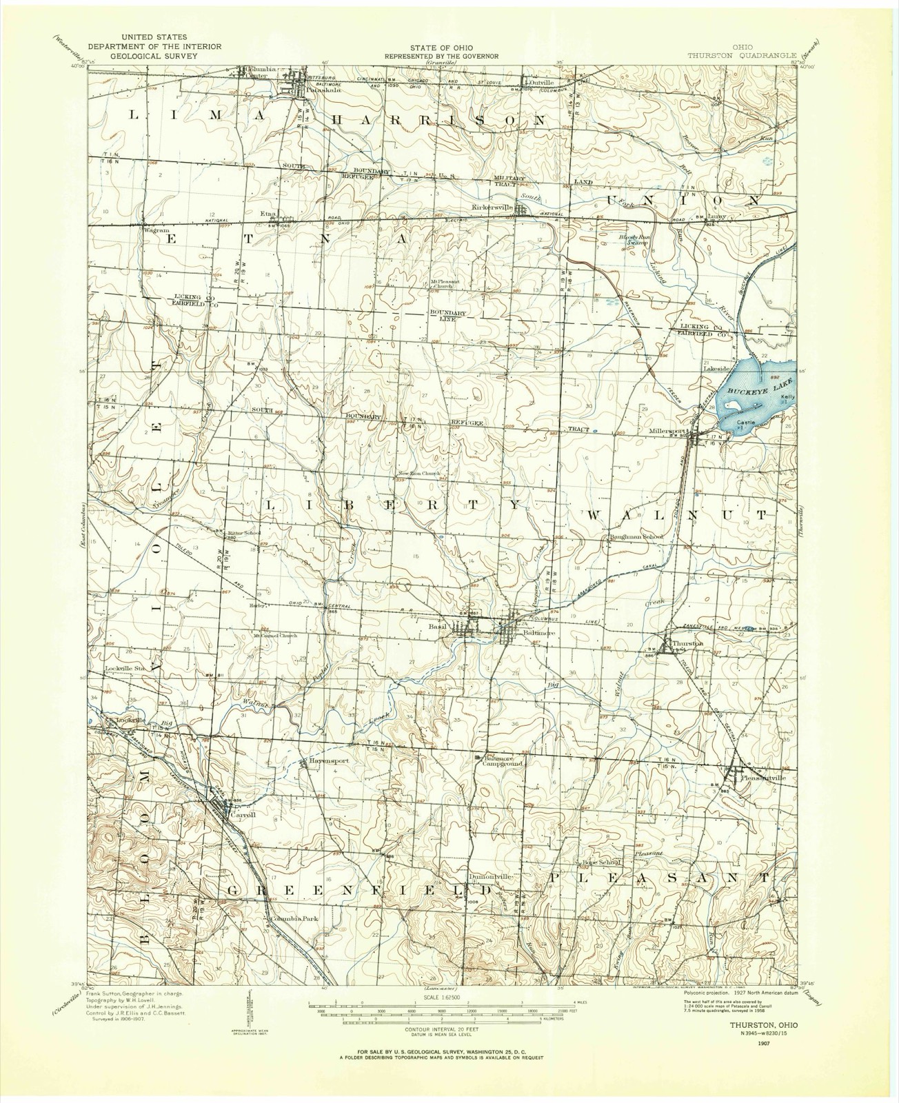
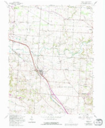
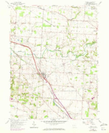
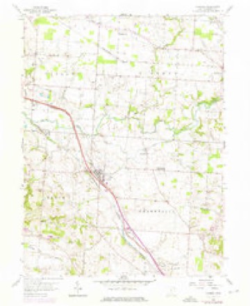
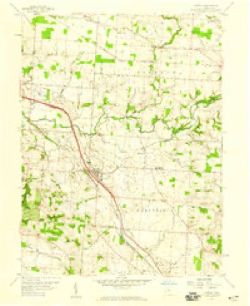
12 topographic sheets cover this place, the earliest surveyed in 1907 and the latest in 1984. It stands in Greenfield Township. It lies in ZIP code area 43112. The Survey maps it on the Carroll quadrangle. 501 people lived here at the 2020 count. It stands 837 feet above sea level.
Population over time
2 figuresCarroll fell from 524 to 501 between 2010 and 2020. These are the recorded population figures Wikidata holds for this place, reached through the Geographic Names Information System number this page is keyed on rather than by name, so they belong to this place and not to another of the same name. Most are census counts, but not all are: an early figure may be a founding or settlement estimate. The change column is computed, and is left blank where more than 20 years separate a figure from the one before it, because a gap that long is not a change between two counts.
| Year | People | Change |
|---|---|---|
| 2010 | 524 | |
| 2020 | 501 | -23 (-4%) |
Then and now
1907 to 1984The same ground, surveyed 77 years apart. Drag the handle to wipe between them. Both sheets are United States Geological Survey originals; neither has been altered.
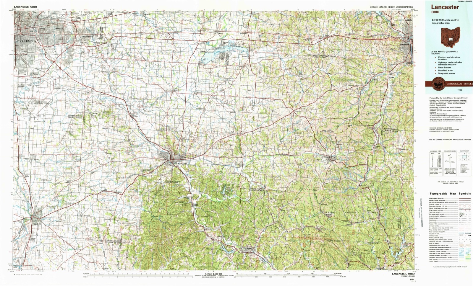
Topographic sheets covering this place
12 sheetsMatched by testing this settlement's coordinate against the published boundary of every sheet in the United States Geological Survey's historical collection. Each opens the scanned sheet at the Survey.
- 1907 USGS Thurston quadrangle1:62500
- 1909 USGS Thurston quadrangle1:62500
- 1947 USGS Columbus quadrangle1:250000
- 1958 USGS Carroll quadrangle1:24000
- 1958 USGS Carroll quadrangle1:24000
- 1958 USGS Carroll quadrangle1:24000
- 1958 USGS Carroll quadrangle1:24000
- 1961 USGS Columbus quadrangle1:250000
- 1962 USGS Columbus quadrangle1:250000
- 1967 USGS Columbus quadrangle1:250000
- 1967 USGS Columbus quadrangle1:250000
- 1984 USGS Lancaster quadrangle1:100000






In the county-history sources
5,578 words on this townshipA Complete History of Fairfield County, Ohio, published 1877 names this settlement in its chapter on Greenfield Township. These are the passages that mention it, exactly as the scans read.
The first election for the township was held at Yankeetown in the fall of 1805. The first tax-collector in Greenfield was Colonel Crooks, who was subsequently SheriS" of the county. Emanuel Carpenter is also spoken of as being at that time a citizen of Greenfield. His surviving friends, however, do not remember that he ever lived anywhere but down Hocking.
Passage source: A Complete History of Fairfield County, Ohio, published 1877.
Joseph Loveland and Hezekiah Smith, New Englanders, built a grist and saw-mill combined at the forks of Hocking in 1800. The place is familiarly known at present as the Rock Mill. It is on the old Columbus road, seven miles from Lancaster. These men are said to have sold goods at their mill which were brought on pack-horses from Detroit. They also sold whisky, charging one dollar a quart for it. The Indians often bought it and took a big drunk, always leaving one or two of their number sober to restrain the drinkers, a custom not observed by their more civilized brethern of the " palefaced " race.
Passage source: A Complete History of Fairfield County, Ohio, published 1877.
It is related that some of the first emigrants erected tents, which they roofed with bark, inhabiting them until they could find the time to put up cabins. Two or three families are said, in some instances, to have jointly occupied one cabin of small dimensions.
Passage source: A Complete History of Fairfield County, Ohio, published 1877.
Machine-read from a century-old scan, so expect the errors a machine makes: misspelled names, dropped words, stray characters.
Read the whole chapter on Greenfield Township - it names this place 10 more 10 times.
Photographs
2 photographs,Taken for the Office of War Information and the Farm Security Administration, who photographed the country between 1935 and 1944. Works of United States government photographers, with no known restriction on use. Each opens its catalogue record.
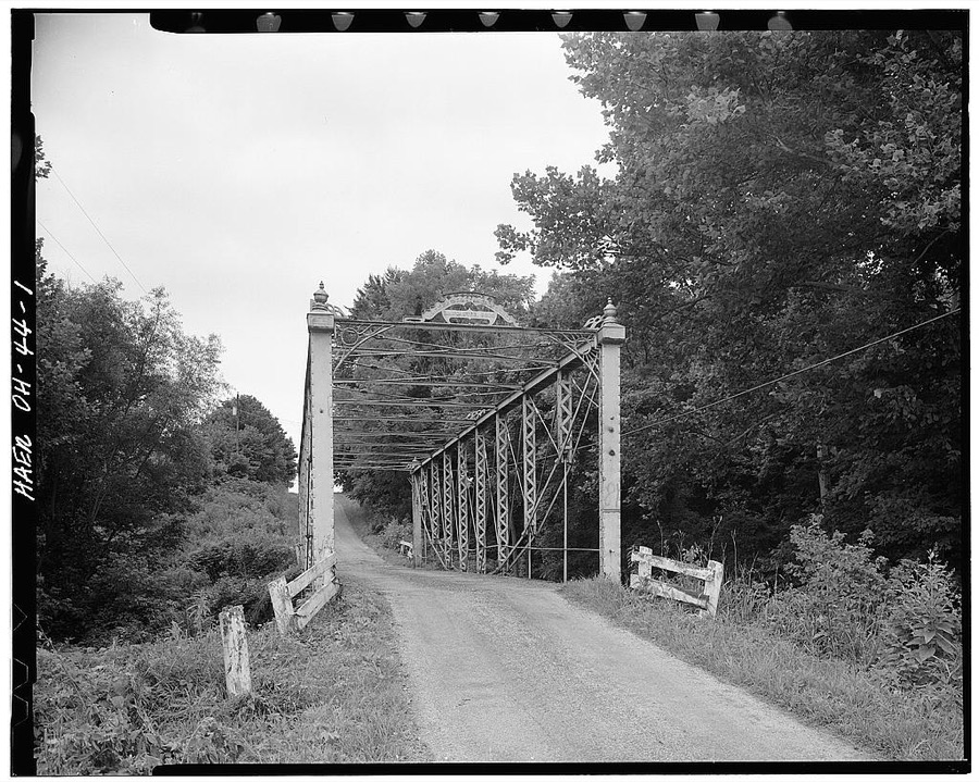
Unattributed, . Library of Congress
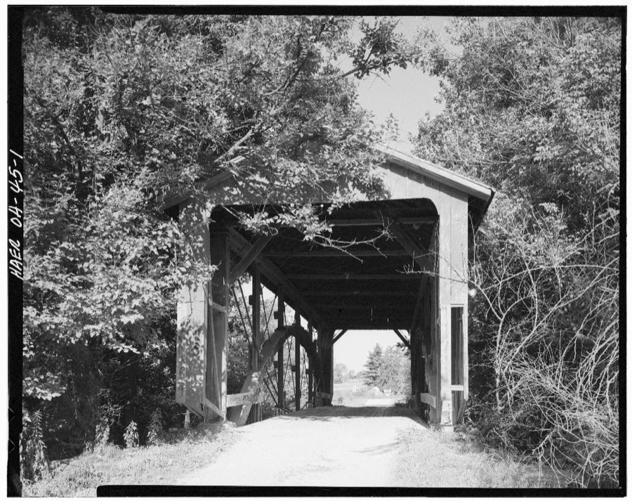
Unattributed, . Library of Congress
Fires near this place
3 since 2012Regional context, not property-specific evidence. The federal wildfire occurrence database lists 3 fires within 5 miles of Carroll between 2012 and 2020, burning about 27 acres in total. None started naturally. None was recorded as arson. Distance is straight-line from the map coordinates, so a fire counted here may appear on a neighbouring settlement's page as well.
| Reported cause | Fires |
|---|---|
| Debris and open burning | 2 |
| Power generation/transmission/distribution | 1 |
The most recent of them, most recent first, with the day each was reported and the service that recorded it.
| Date | Cause | Size | Reported by | Name on the report |
|---|---|---|---|---|
| 16 June 2020 | Power generation/transmission/distribution | under an acre | Ohio Department of Natural Resources | 15761 |
| 7 March 2012 | Debris and open burning | 25 acres | Wayne National Forest | SR 522 |
| 4 November 2020 | Debris and open burning | 2.5 acres | Ohio Department of Natural Resources | 15878 |
Settlements close enough to share some of these fires:
Specimens collected near this place
12 of 2,136 shownRegional context, not property-specific evidence. Museums hold 2,136 specimens collected within 10 miles of Carroll between 1843 and 1975: 1,804 Animalia, 261 Fungi, 63 Plantae, 6 Protozoa, 2 Chromista. 12 distinct Species records are shown. Collected by Asa Gray; W. S. Sullivant, Bales, B. R., Birch, W. and others. Each is a physical object with a catalogue number, and each entry opens the museum's record. This is what was collected and kept, not a survey of what lives here - nothing can be concluded from a species being absent.
| Image | Species | Year | Collected by | Where, as recorded |
|---|---|---|---|---|
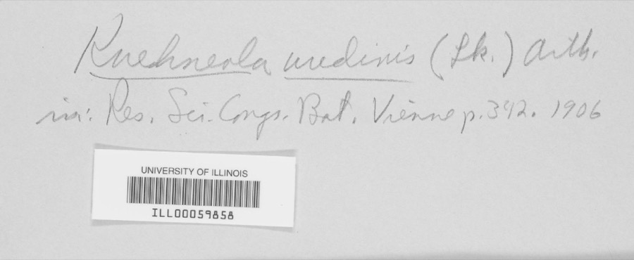 | Kuehneola uredinis (Link) Arthur | 1891 | Freda Detmers | Rock Mill |
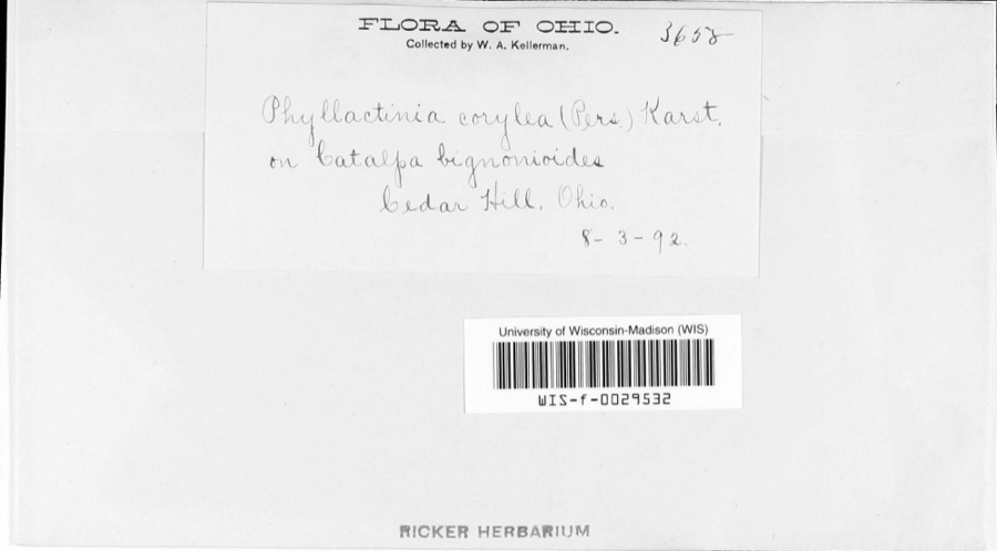 | Phyllactinia corylea (Pers.) P.Karst. | 1892 | W.A. Kellerman | |
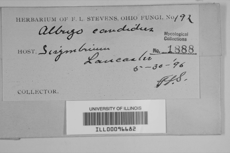 | Albugo candida (Pers. ex J.F.Gmel.) Roussel | 1896 | F.L. Stevens | Lancaster |
 | Bryoxiphium norvegicum (Brid.) Mitt. | 1843 | Asa Gray; W. S. Sullivant | near Lancaster |
 | Phyllogonium norvegicum Brid. | 1843 | Gray, A.; W. S. Sullivant | near Lancaster |
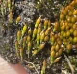 | Bruchia flexuosa (Schwägr.) Müll.Hal. | 1849 | C. L. Lesquereux | Lancaster |
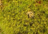 | Dicranodontium denudatum (Brid.) E.Britton | 1849 | C. L. Lesquereux | |
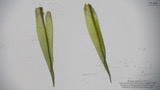 | Dicranum condensatum Hedw. | 1849 | C. L. Lesquereux | Lancaster |
| Aecidium compositarum Mart. | 1883 | W. A. Kellerman | ||
| Aecidium galiorum Pers. | 1883 | W. A. Kellerman | ||
| Aleurodiscus candidus (Schwein.) Burt | 1883 | W.A. Kellerman | Lancaster | |
| Arthuriomyces peckianus (Howe) Cummins & Y.Hirats. | 1883 | W. A. Kellerman |
All 2,136 specimens within 10 miles, at the Global Biodiversity Information Facility.
Mines and quarries near this place
3 within 5 milesRegional context, not property-specific evidence. The federal mineral resources record lists 3 workings within 5 miles of Carroll: 2 producers, 1 past producer. 2 still produce. What was taken out: Sand and Gravel, Construction. Distance is straight-line from the map coordinates, so a quarry counted here may appear on a neighbouring settlement's page as well.
| Where | Site | Commodity | Status | Recorded |
|---|---|---|---|---|
| Davis Sand and Gravel Pit | Sand and Gravel, Construction | Past Producer | ||
| Favil Pit | Sand and Gravel, Construction | Producer | ||
| Jimmys Pit | Sand and Gravel, Construction | Producer |
Storms near this place
9 since 1996Regional context, not property-specific evidence. The National Weather Service names Carroll in 9 storm reports between 1996 and 2025: 5 hail, 4 thunderstorm wind. No death or injury is recorded in these reports. Each account below is quoted exactly as the forecast office filed it, from the NOAA Storm Events Database, and each date opens the federal record of that event.
| When | Event | Place named | Harm | What the report says |
|---|---|---|---|---|
| November 2013 | Thunderstorm Wind | Carroll | $20,000 | A residence in Carroll sustained damage to a garage and a foundry had a rubber roof peeled back due to thunderstorm winds. |
| April 2011 | Thunderstorm Wind | Carroll | $5,000 | Multiple trees were reported down due to damaging thunderstorm winds. One tree fell on a house due to the winds. |
| July 2008 | Hail | Carroll | $3,000 | no account filed |
| April 1996 | Thunderstorm Wind | Carroll | $2,000 | no account filed |
| June 1998 | Thunderstorm Wind | Carroll | - | Winds gusted to 70 mph. |
| April 2025 | Hail | Carroll | - | no account filed |
| June 2011 | Hail | Carroll | - | no account filed |
| June 2009 | Hail | Carroll | - | no account filed |
| June 1996 | Hail | Carroll | - | no account filed |
Nearest settlements
The eight closest, with where each one stands in the county. Distances are straight-line, computed from the Geographic Names Information System coordinates.
| Map | Place | Distance | Sheets |
|---|---|---|---|
| Havensport | 1.7 miles | 12 | |
| Lockville | 2.2 miles | 12 | |
| Slough | 3.2 miles | 16 | |
| Lockville Station | 3.3 miles | 12 | |
| Jefferson | 3.3 miles | 16 | |
| Rock Mill | 3.5 miles | 12 | |
| Greencastle | 3.6 miles | 16 | |
| Harley | 3.8 miles | 12 |
Elsewhere
Matched on this settlement's Geographic Names Information System number rather than its name, so it cannot be a different place of the same name in another state.
| Wikipedia article on Carroll | An encyclopaedic summary. Its text is share-alike, so it is linked here rather than copied. |
| Wikidata item Q2399399 | The structured record the population and elevation above come from. Public domain (CC0). |
Provenance
This settlement is recorded in the Geographic Names Information System as feature 1056768. The sheet list is computed by point-in-boundary test against the United States Geological Survey's historical topographic inventory. Both are works of the United States government and carry no copyright under 17 U.S.C. 105.
Wildfire. Short, Karen C. 2022. Spatial wildfire occurrence data for the United States, 1992-2020 [FPA_FOD_20221014]. 6th Edition. Fort Collins, CO: Forest Service Research Data Archive. https://doi.org/10.2737/RDS-2013-0009.6 Collected with United States Government funding and usable without additional permissions or fees.
Specimens. Global Biodiversity Information Facility (GBIF), https://www.gbif.org/. Only records licensed CC0 or CC BY are used. Records licensed CC BY-NC are excluded because this site carries advertising. Images are checked individually and any whose licence is non-commercial, no-derivatives or unreadable is refused.
Mines and quarries. USGS Mineral Resources Data System (MRDS) https://mrdata.usgs.gov/mrds/ A work of the United States government, no copyright under 17 U.S.C. 105.
Storms. NOAA National Centers for Environmental Information, Storm Events Database https://www.ncei.noaa.gov/stormevents/ A work of the United States government, no copyright under 17 U.S.C. 105. Narratives are quoted verbatim from the National Weather Service report and are not edited or summarised.