83 topographic sheets and 27 fire insurance
atlases across 5 places.
Research this county
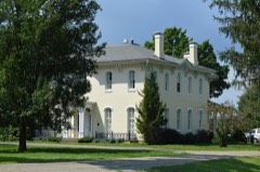
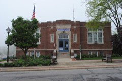
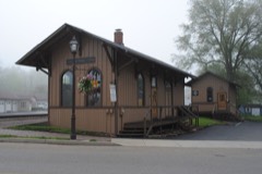
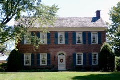
This curated hub for Fairfield County, Ohio brings together the page's documented record links, visible map or image evidence where published, and routes to related local records.
Use the page's provenance and linked records to distinguish the source material from the site's navigation and summaries.
How should I cite it?
Open the original record, preserve its repository and identifier, then use the citation tool for this page as a path back to the source.
Where should I go next?
Follow the county or state hub for related places and records, then use the guide for a source-aware research sequence.
From the record
“The oldest citizens of Lancaster describe a typhoid epidemic that prevailed in the village in the fall of the year 1823. Its ravages are believed not to have been exceeded on the continent at any age, or by any visitation of epidemic disease, not even excepting the cholera. No'direct or remote cause could be assigned.”
Thomas Ewing Typhoid Epidemic - Pioneer Period and Pioneer People of Fairfield County, Ohio (1901). Machine-read text.
29 National Register listings, of which 1 are National Historic Landmarks · 70 businesses named in the fire insurance atlases from 1884 to 1950 · the 1901 county history tells 6 stories and names 41 people · people the book names include John Augustus (Liberty Township, 1901) · Jacob Amen (Richland Township, 1877) (machine-read).
Ohio within the United StatesFairfield County within Ohio
Explore by year
What the record shows
5 places in this county were surveyed for fire insurance: Lancaster, Baltimore, Bremen, Carroll, Millersport, between 1884 and 1950.
27 fire insurance atlas(es) survive for the county. Topographic coverage is national; fire insurance survey reached only incorporated places with something worth insuring.
908 topographic sheet readings cover the county's settlements.
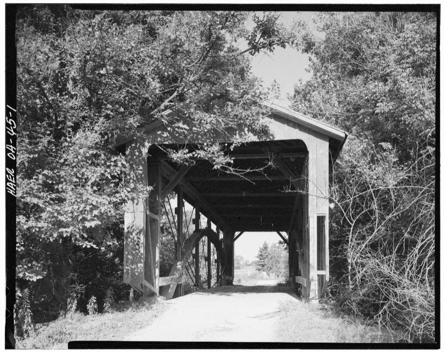
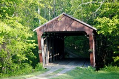
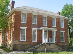
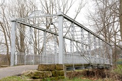
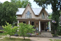
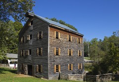
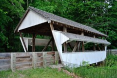
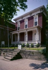
29 properties here are on the National Register of Historic Places, including 3 covered bridges, 1 historic district, 14 houses and farms.
17 of the 29 listings were added during the 1970s.
The Geographic Names Information System records 70 populated places in this county; 0 are covered by at least one topographic sheet.
3 public-domain county histories, 1877 to 1912, supply 196,729 words of narrative reproduced here in full.
What happened here
6 accounts
A captivity, a drowning, a famine, a man
scalped clearing his lot in 1789. These are passages from Pioneer Period and Pioneer People of Fairfield County, Ohio, written
while people who remembered the events were still alive, and each one
opens the section it comes from.
1901, Liberty Township
Coons And Squirrels
The first season they planted about three acres of corn, but they did not even get a peck of ripe corn. The squirrels visited the cornfield in day-time, and the raccoons in the night. Jacob told me that his father, Abraham, went out with his rifle one morning and killed thirty-eight squirrels ofi" of one tree, and then he was not able to count the remainder on the same tree.
It was rumored that the Indians were coming in to plunder the pioneers. Bibler'.s cabin was the place of rendezvous. It was not long before several guns were heard at a neighboring cabin, when the women began to scream. One old lady said : " ! I wish the Indians had killed me long ago." My mother wanted father to go, but he said no, he would not run away from his own house.
To the aged citizens of Fairfield County; to the middleaged ; and to the young, I address some closing thoughts and reflections. We are approaching the point now where, as authors sometimes say, we must part. But you and I, dear reader, will not part. You have kept my company in my pilgrimage back through the decades of years, to where this now fertile and rich valley and its adjacent country was, to use an expression mo're familar to the ear than comprehended b}^ the mind, a howling wilderness where "nothing dwelt but beasts of prey, or men as fierce and wild as they." Together we have stood mentally in the wilds of the unbroken forests of the Hocking Valley, and on Mount Pleasant's lofty summit, and listened to the discordant yells of the untutored savage, the screaming panther, the howling wolf, the barking fox, and the doleful hooting of the big owl, before the first dawnings of civilization shed their cheering rays over scenes that "long in darkness lay." But we stood on the boundaries of a barren waste of desert; a desert into which no Anglo-Saxon ej'e ever peered - the desert of the past unknown and unnumbered years, for there was nothing to mark the drifting centuries.
The oldest citizens of Lancaster describe a typhoid epidemic that prevailed in the village in the fall of the year 1823. Its ravages are believed not to have been exceeded on the continent at any age, or by any visitation of epidemic disease, not even excepting the cholera. No'direct or remote cause could be assigned.
Wolves were very numerous, making it difficult to keep sheep. The State paid premiums for their scalps. Panthers, bears and wild-cats were plenty, deer abundant. Bear's meat was common. Catamounts were also often seen in the woods. (The catamount is of the feline species, and in size is intermediate between the domestic cat and the American panther.
My mother was a sister of the late Walter McFarland, of Greenfield Township. She came with her father, William McFarland, to this county in 1799, and settled first on Hooker's Prairie, four miles north-west of Lancaster. Her father intended to enter the land where the Hookers live, but there were two men who claimed it by tomahawk-right, and he
Taken for the Office of War Information and
the Farm Security Administration, who photographed the country between
1935 and 1944. Works of United States government photographers, with no
known restriction on use. Each opens its catalogue record.
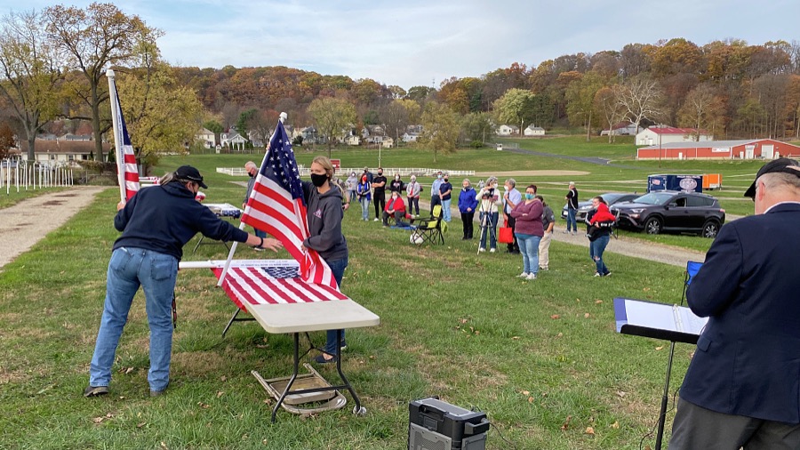
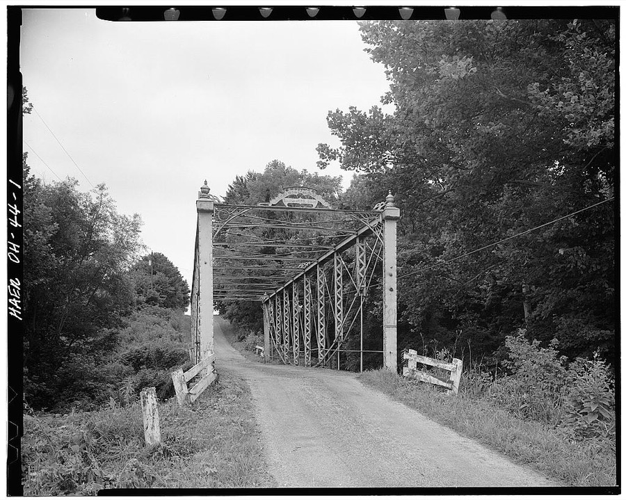
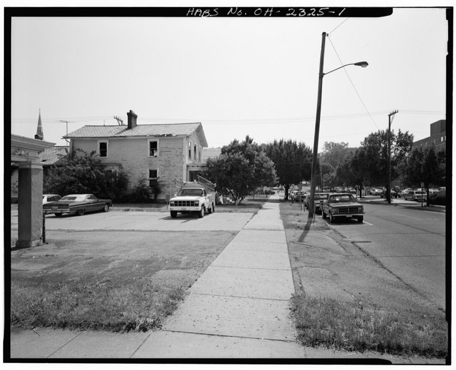
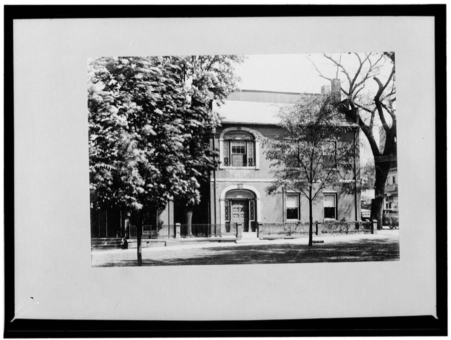
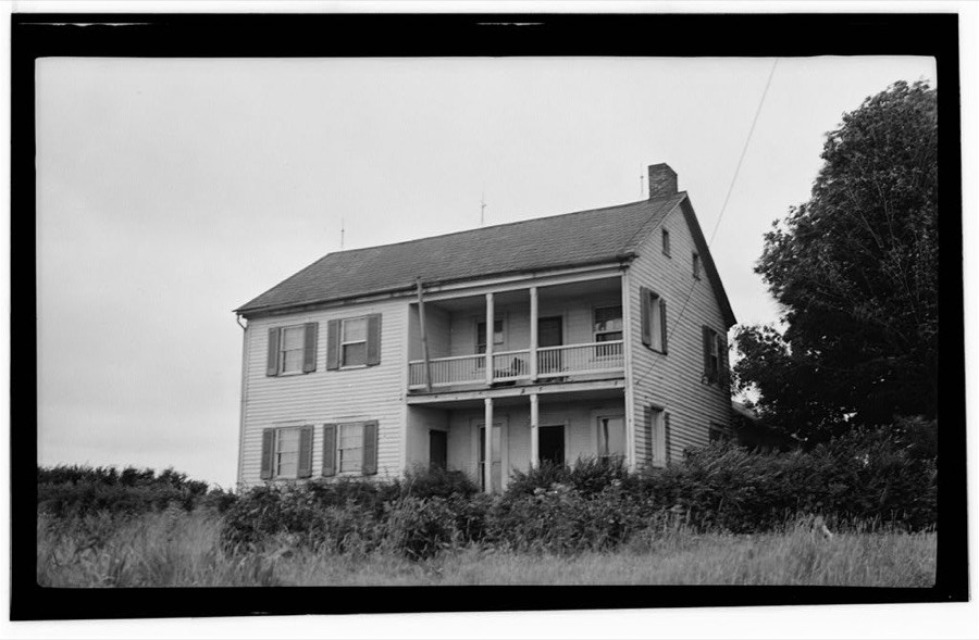
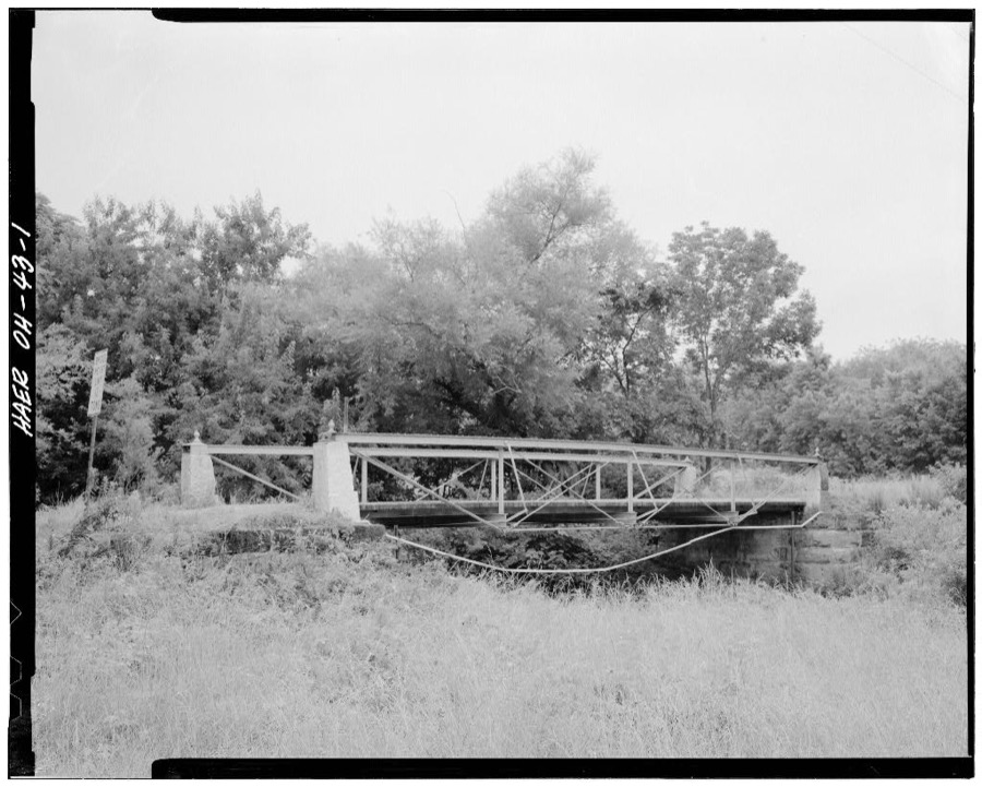
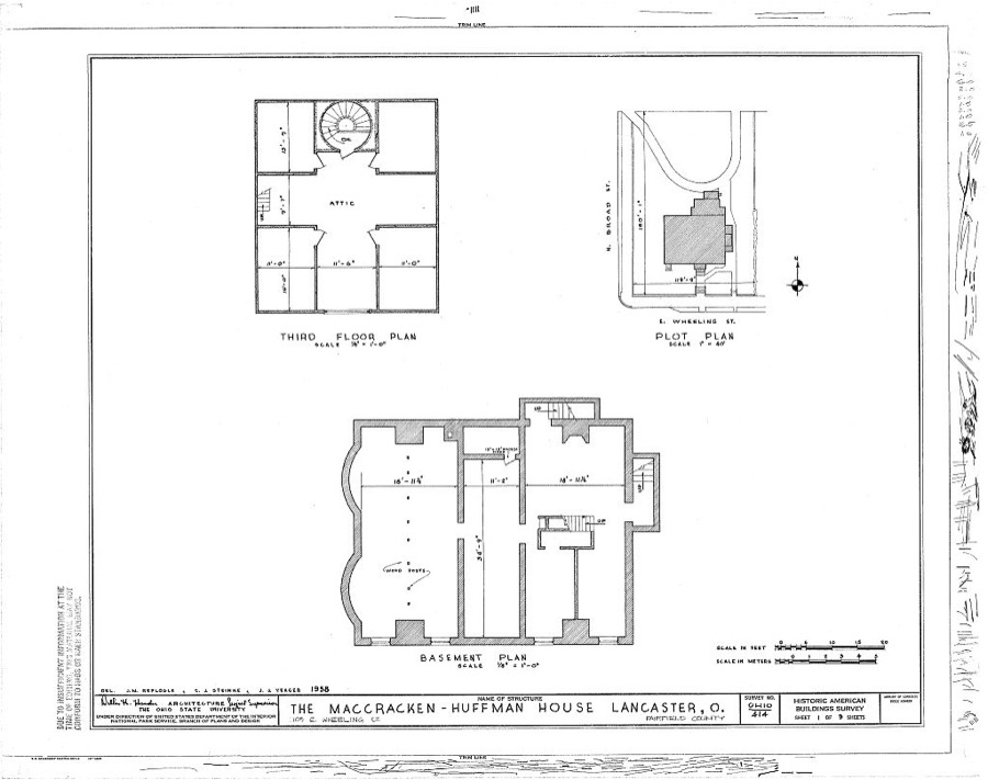
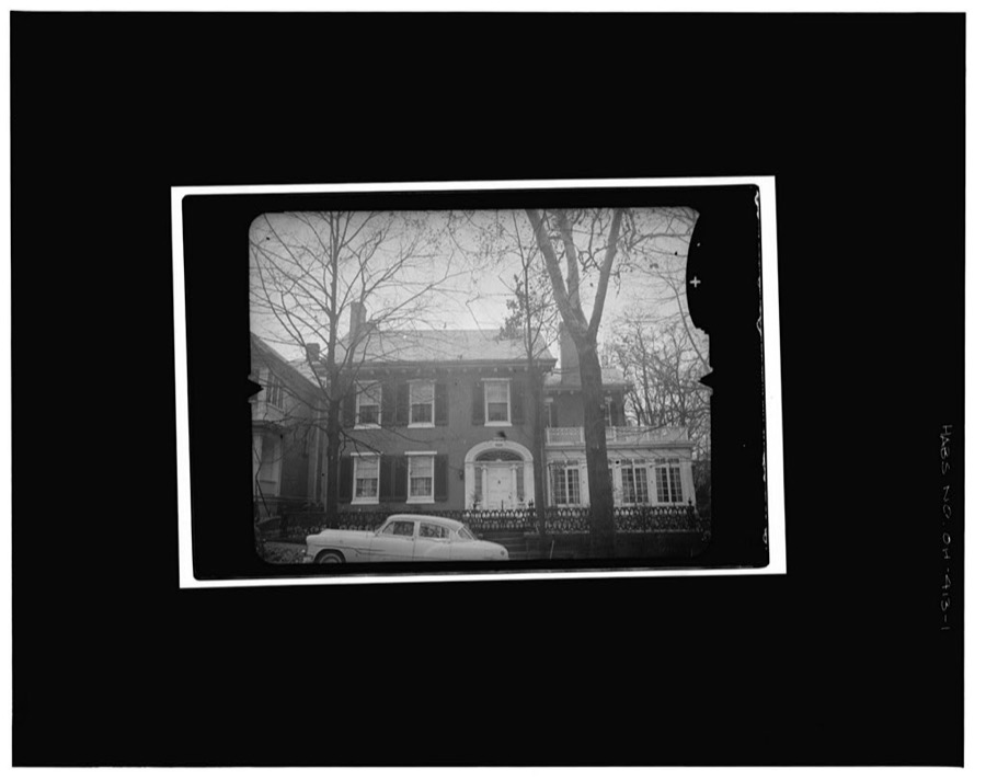
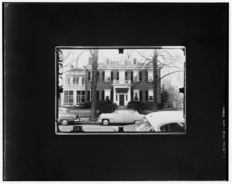
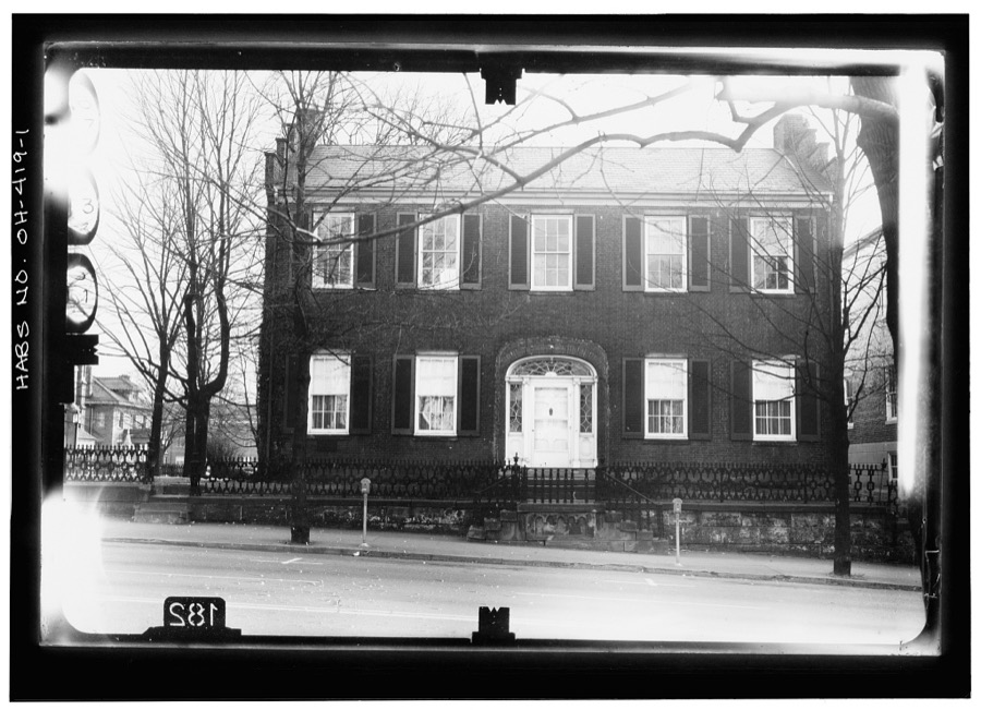
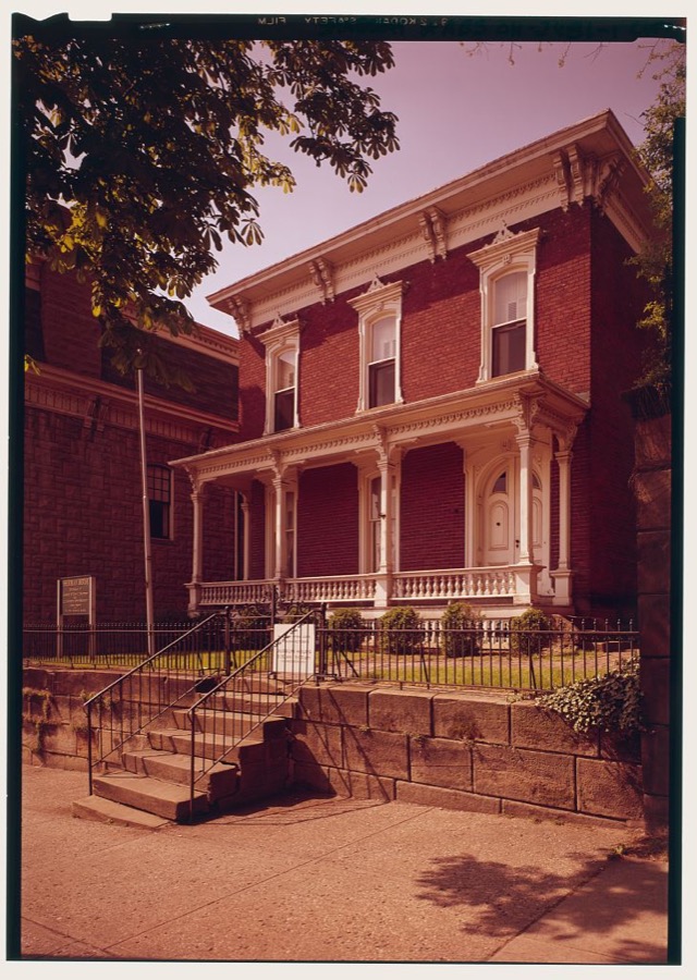
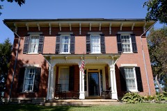
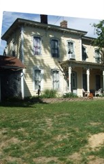
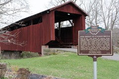
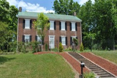
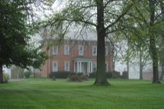
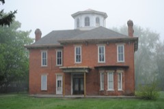
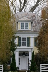
Freedom's Never Free, Lancaster, Ohio Batina, Robert, photographer, 2020. Library of CongressFreedom's Never Free, Lancaster, Ohio Batina, Robert, photographer, 2020. Library of CongressJohn Bright No. 1 Iron Bridge, Spanning Poplar Creek at Havenport Road (TR 263), Carroll, Fairfield County, OH Unattributed, . Library of Congress135 West Wheeling Street (House), 135 West Wheeling Street, Lancaster, Fairfield County, OH Unattributed, . Library of CongressSamuel Effinger House, Lancaster, Fairfield County, OH Unattributed, . Library of CongressE. Duplar House, Route 22, Lancaster, Fairfield County, OH Unattributed, . Library of CongressFosnaugh Truss Leg Bedstead Bridge, Spanning Scippo Creek at Township Route 128, Stoutsville, Fairfield County, OH Unattributed, . Library of CongressMacCracken-Hoffman House, 105 East Wheeling Street, Lancaster, Fairfield County, OH Unattributed, . Library of CongressDevol-Dallow House, 118 East Wheeling Street, Lancaster, Fairfield County, OH Unattributed, . Library of CongressJohn Bright No. 2 Covered Bridge, Bish Road (Township Route 263) over Poplar Creek, Carroll, Fairfield County, OH Unattributed, . Library of CongressStanbery-Rising House, High Street, at corner of Wheeling Street, Lancaster, Fairfield County, OH Unattributed, . Library of CongressGiani-Mumaugh Memorial, Main & High Streets, Lancaster, Fairfield County, OH Unattributed, . Library of CongressGeneral William T. Sherman House, 137 East Main Street, Lancaster, Fairfield County, OH Unattributed, . Library of Congress
Places on the National Register
29
Every property in this county listed on the
National Register of Historic Places, with the year it was listed and the
federal nomination document.
Fairfield County holds 3 covered bridges on
the National Register, more than any other property type here. Each is a listed
structure with a federal nomination on file.
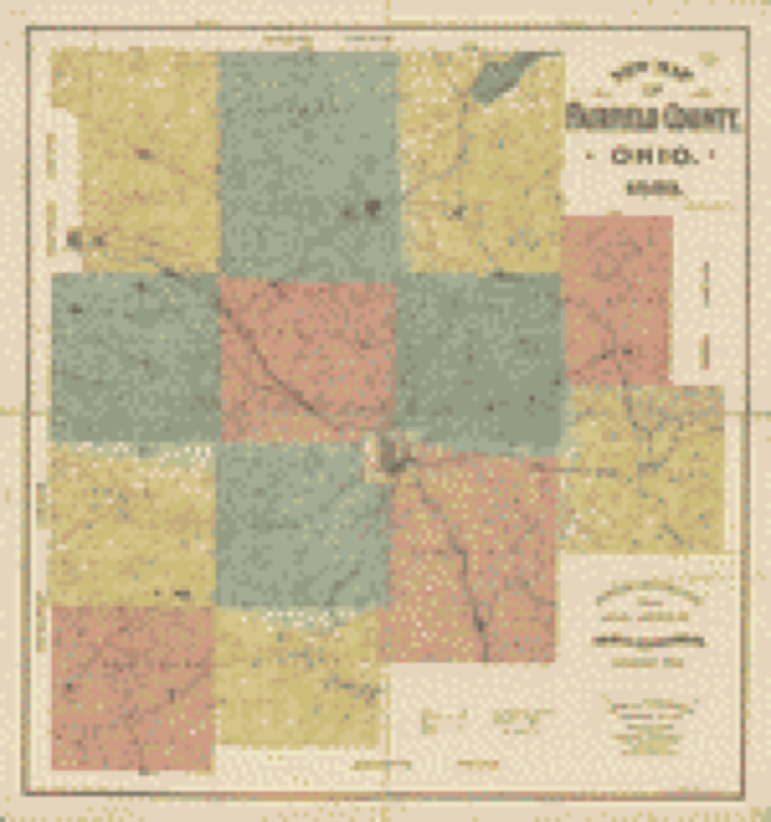
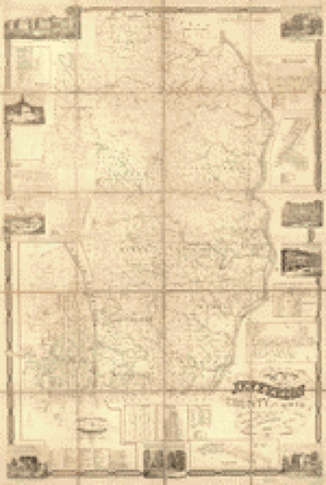
Drawn when these were printed as
single large sheets: the town seen from the air, and the county
divided into its farms with every owner named. Each opens the
original at the Library of Congress.
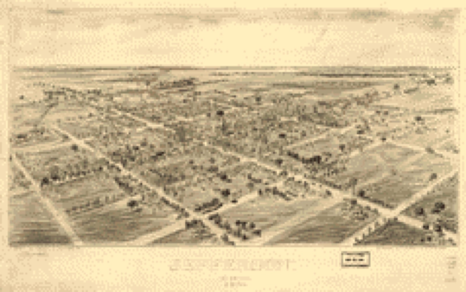
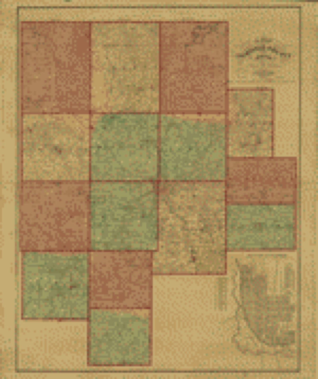
Bird's-eye view (1901) - Jefferson, Ohio 1901. Library of Congress.Bird's-eye view (1884) - Lakeside summer resort and camp ground, near Sandusky, Ohio. Library of Congress.Land ownership map (1848) - A map of Fairfield County, Ohio. Library of Congress.Land ownership map (1889) - New map of Fairfield County, Ohio. Library of Congress.Land ownership map (1856) - Map of Jefferson County, Ohio : from actual surveys. Library of Congress.
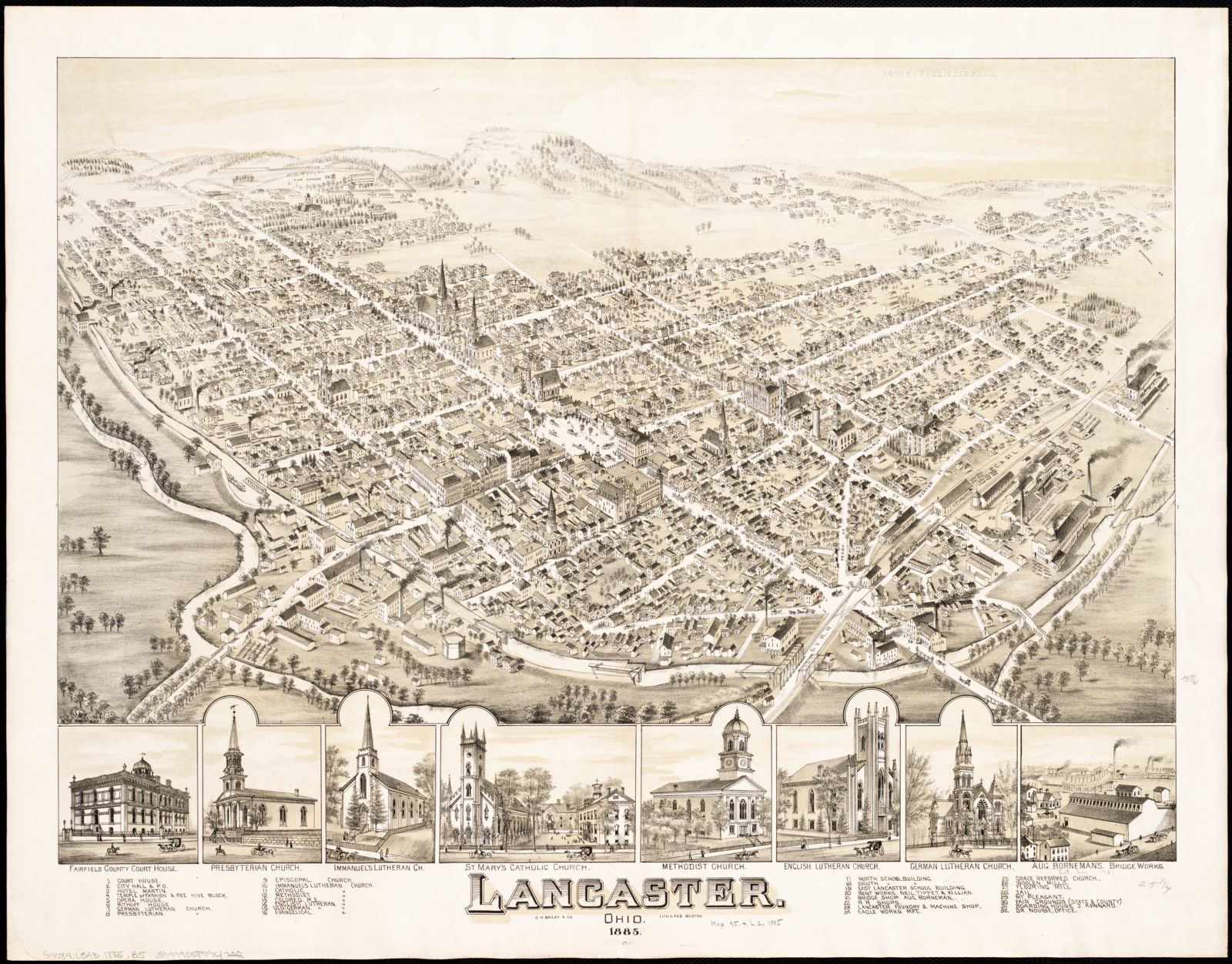
Photographs from libraries nationwide
1 of 2 shown
Selected from the Digital Public Library
of America's 2 image records catalogued for this county. Every
one shown here carries a public-domain status or a licence that permits
reuse on a site that carries advertising; non-commercial, share-alike
and restricted images are excluded. The selection is spread across the
county's towns (at most eight per town), so no single institution's
bulk upload crowds out the rest. Each opens the holding library's
record, and
the complete set at the
Digital Public Library of America is one click away.
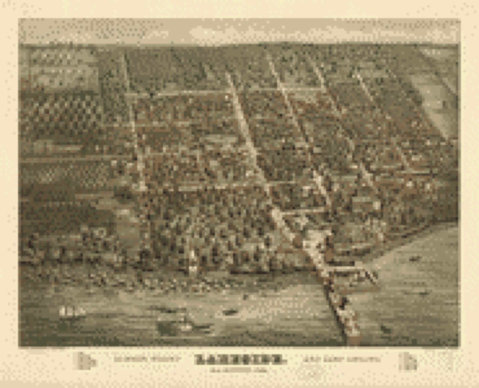
Lancaster, Ohio 1885. O.H. Bailey & Co, Boston Public Library, via the Digital Public Library of America.
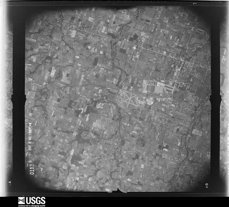
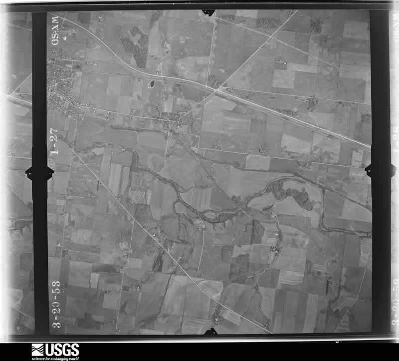
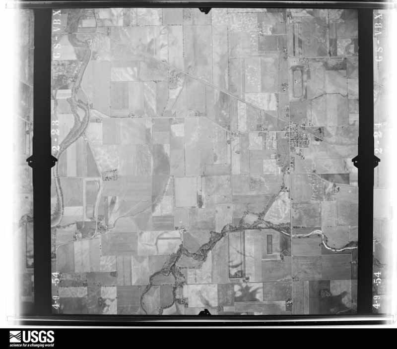
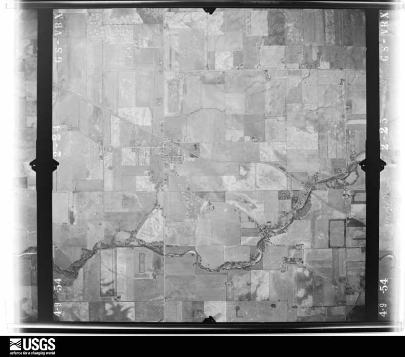
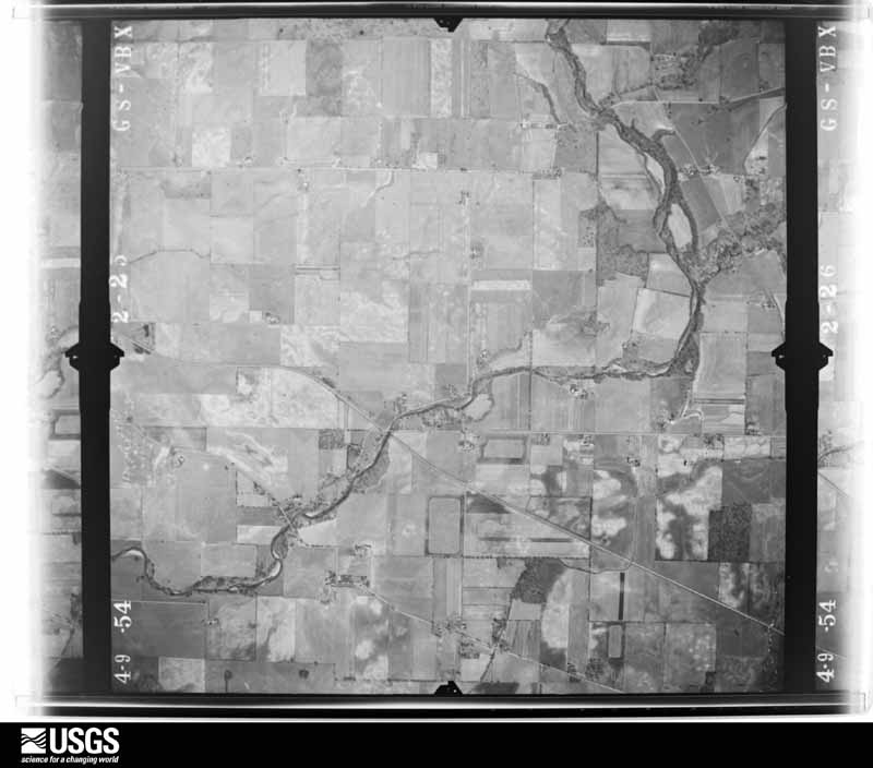
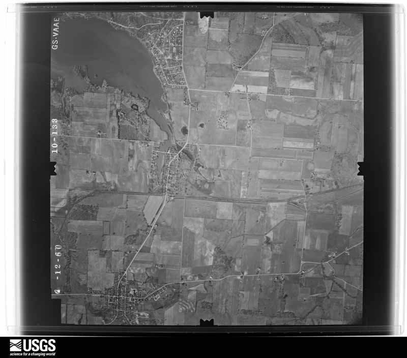
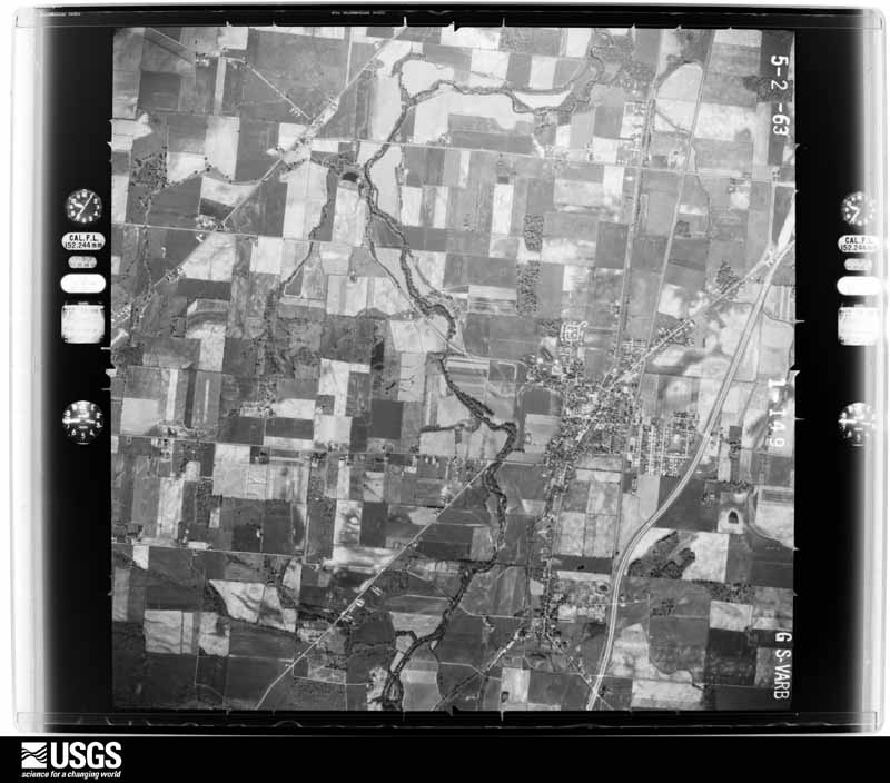
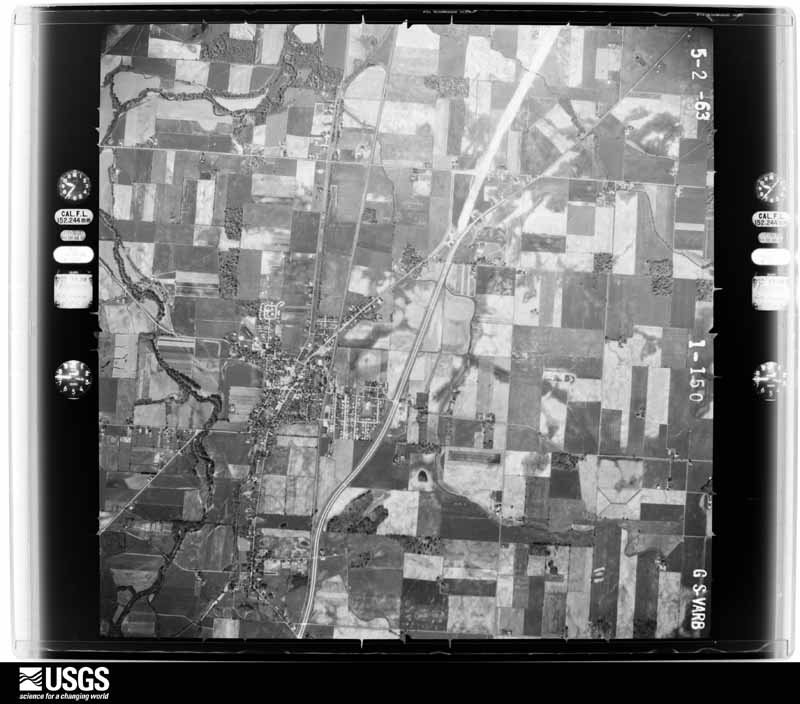
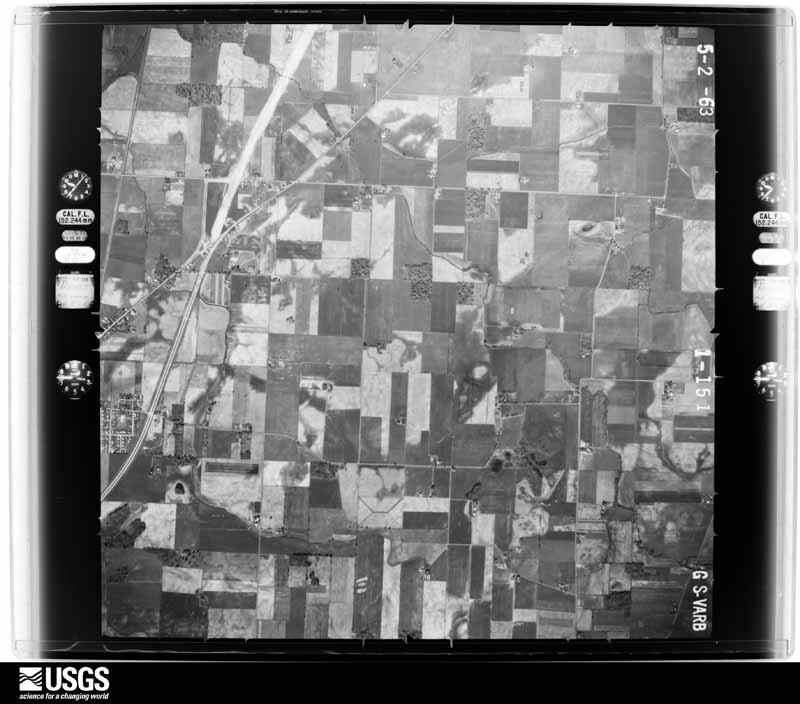
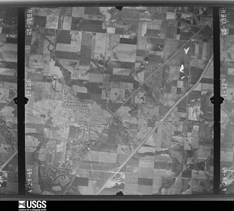
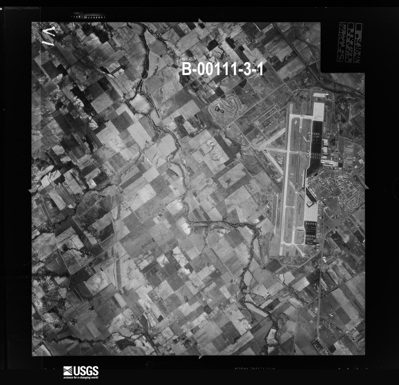
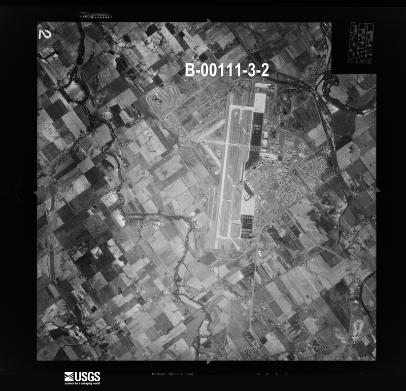
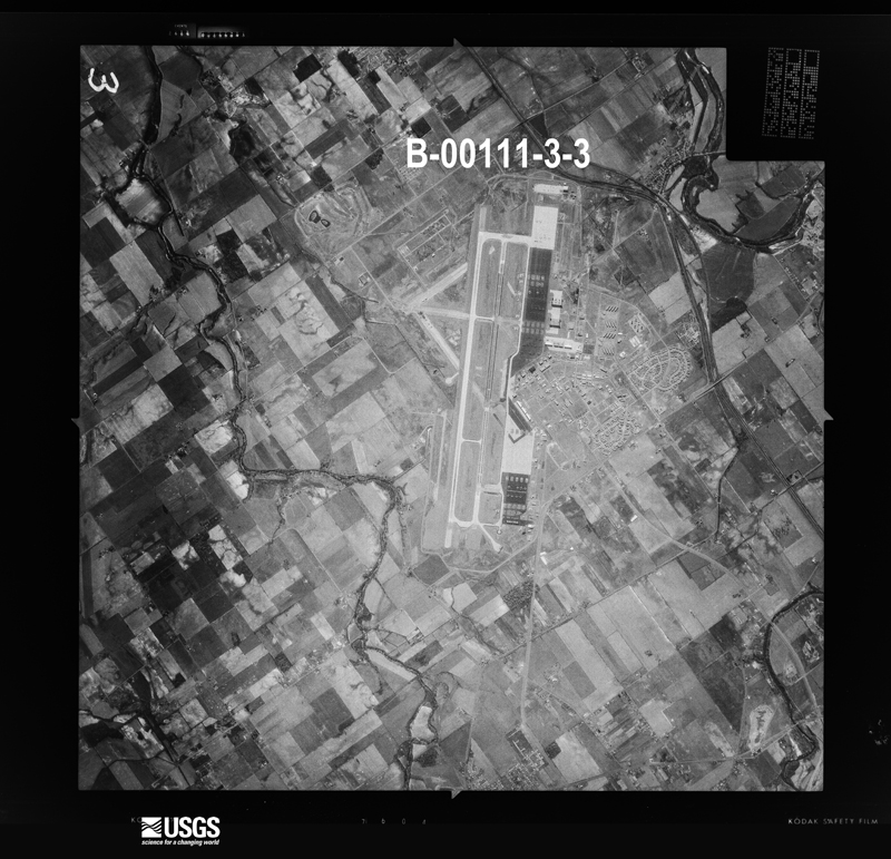
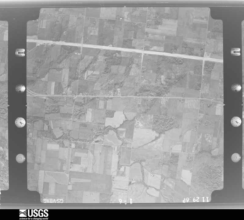
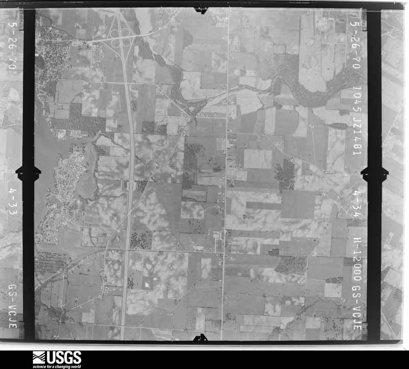
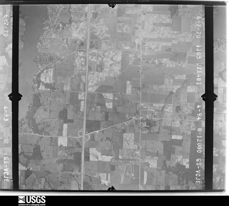
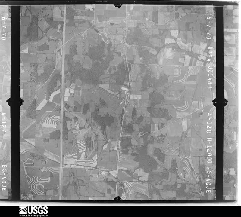
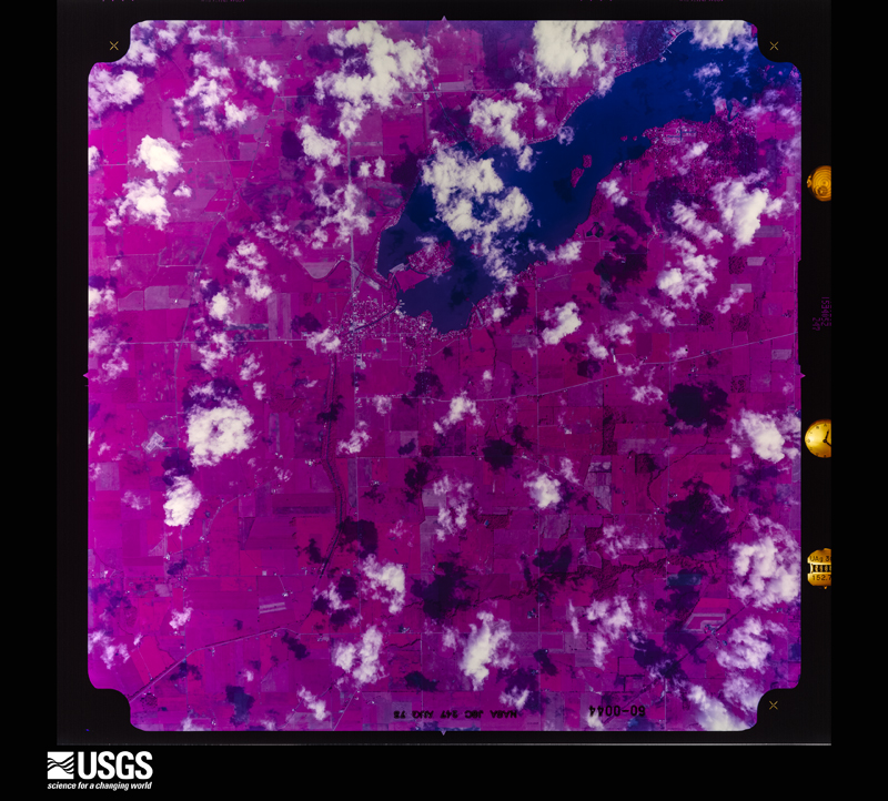
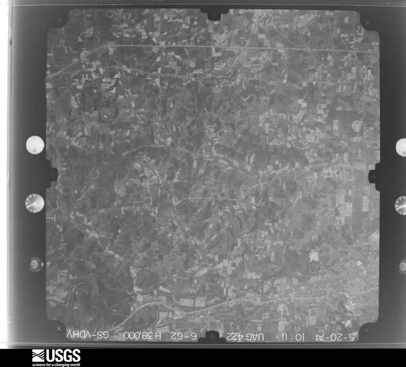
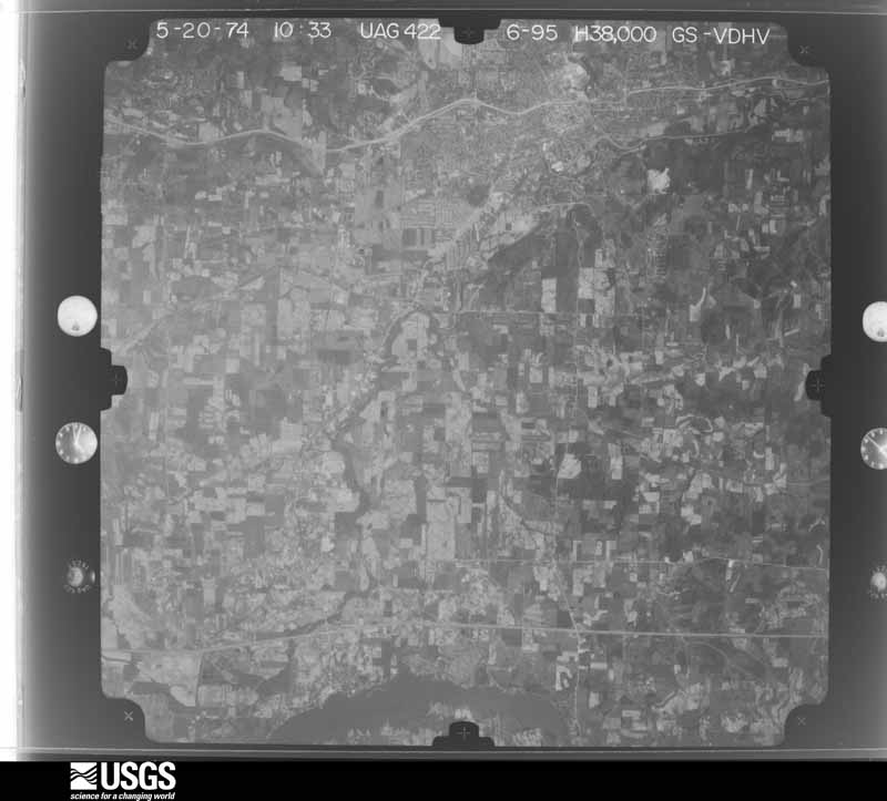
The county from the air
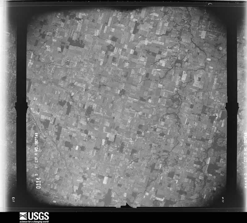
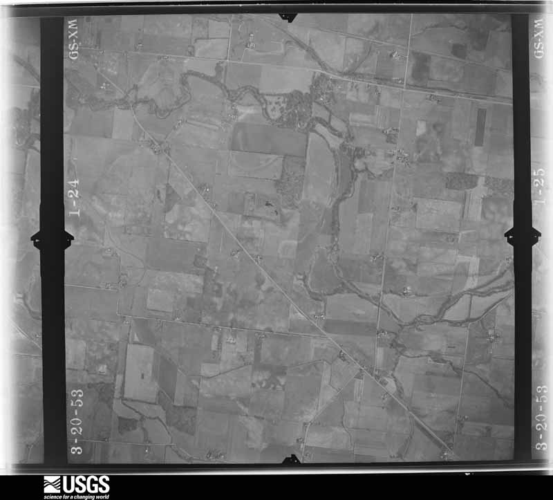
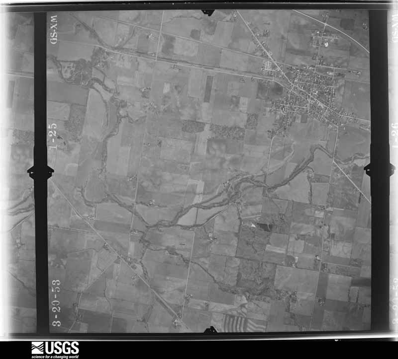
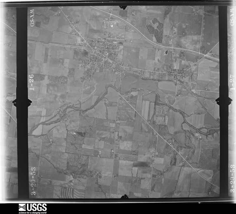
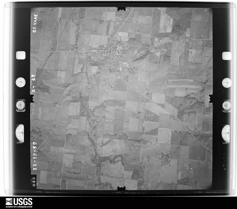
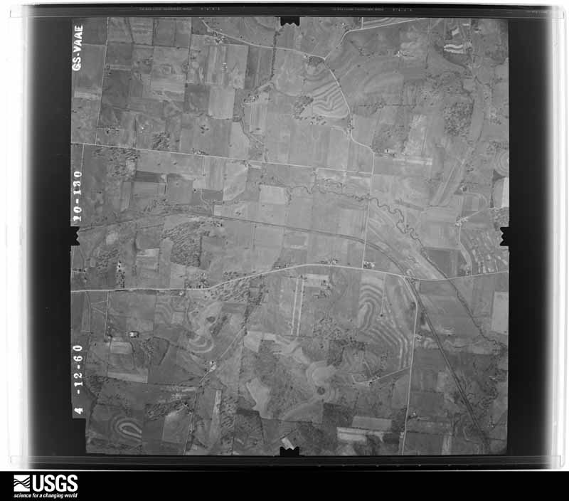
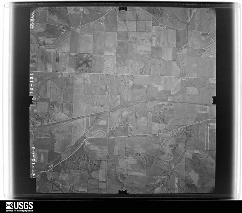
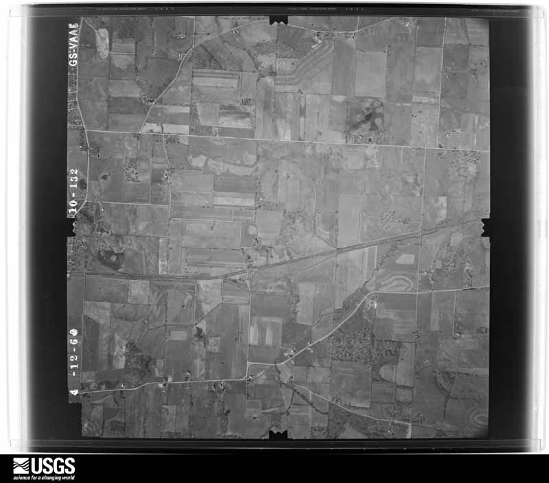
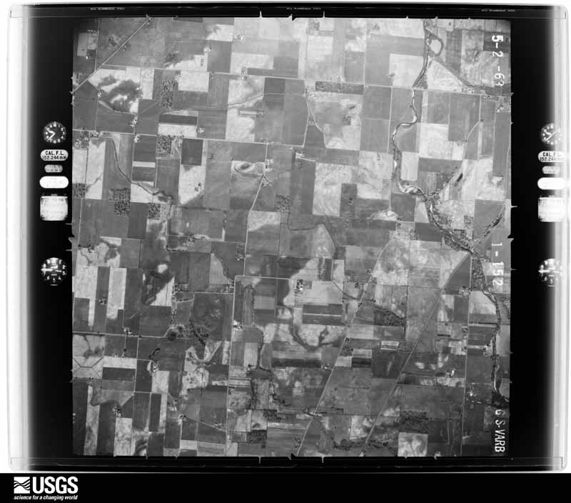
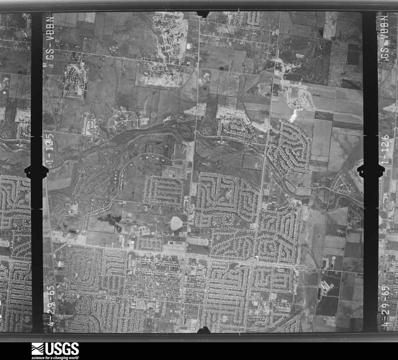
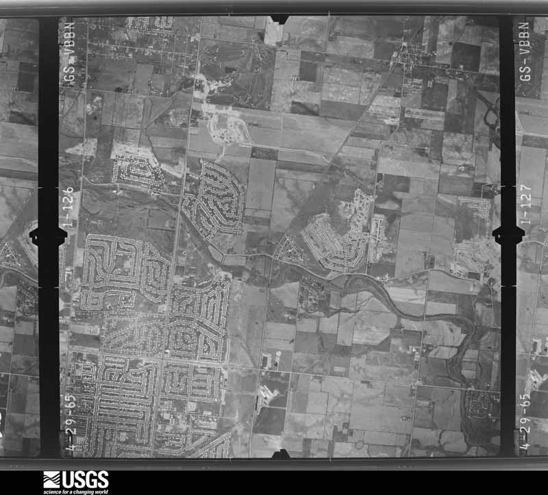
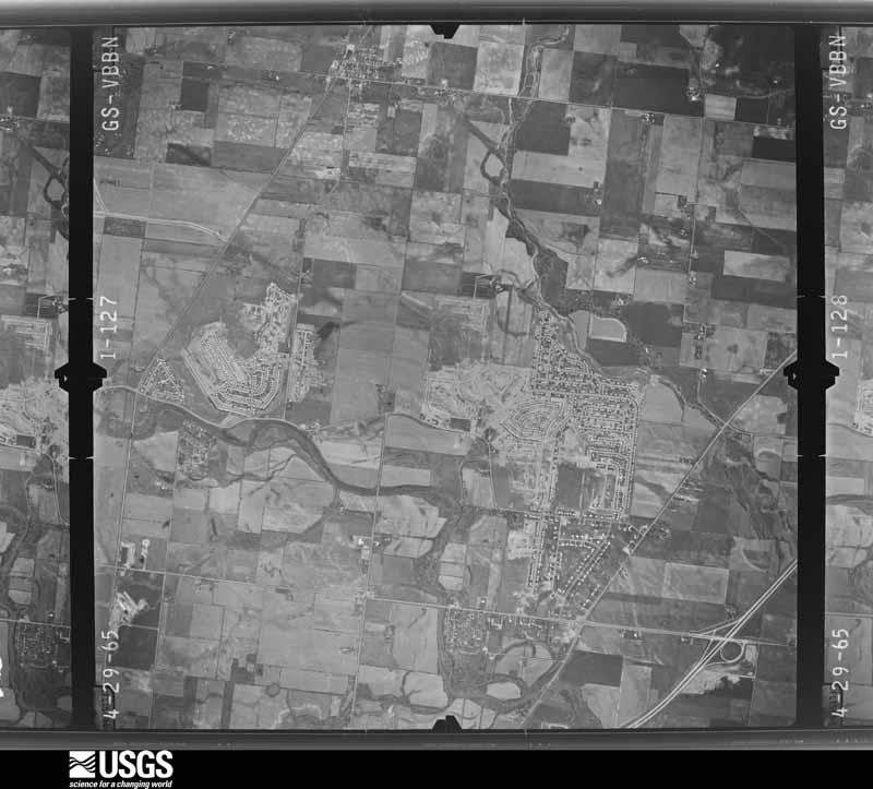
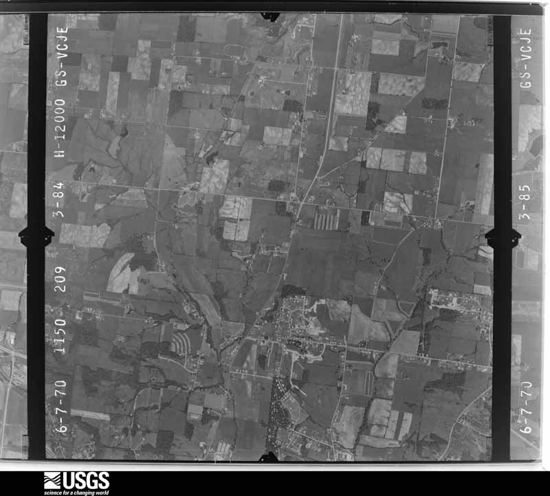
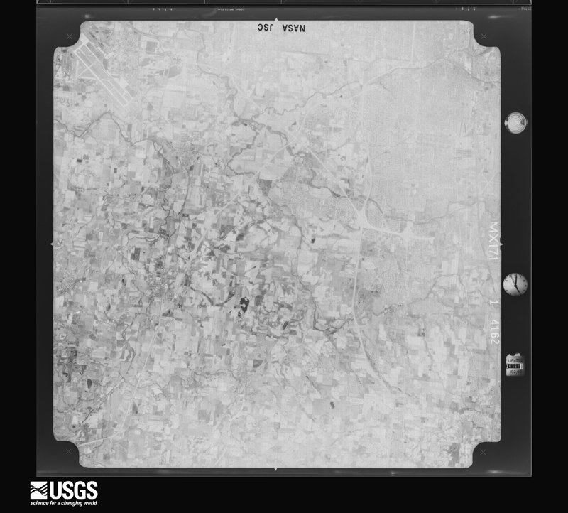
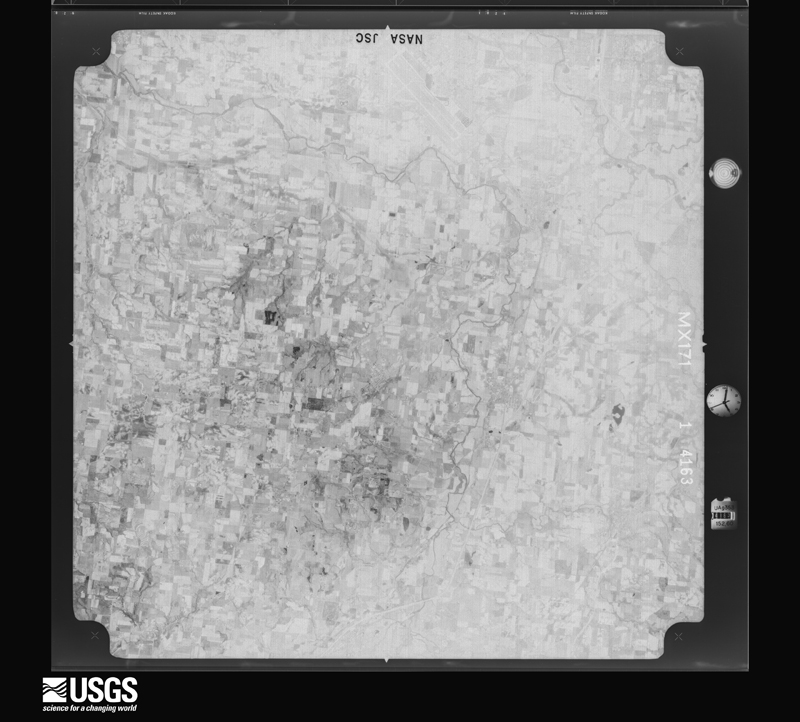
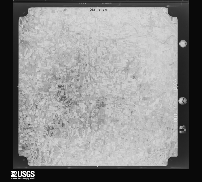
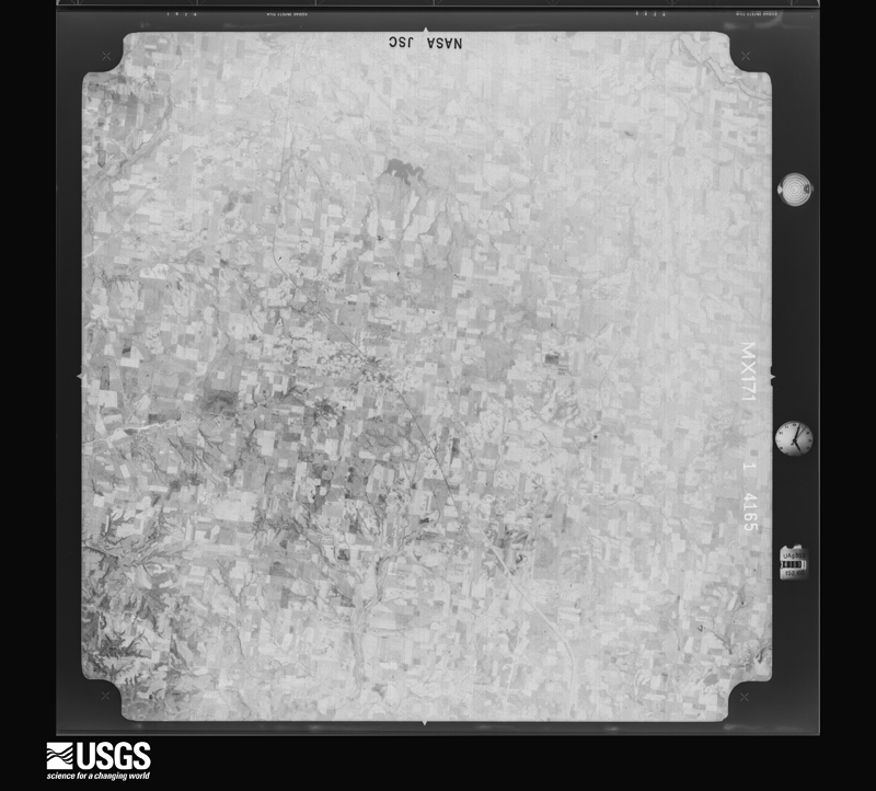
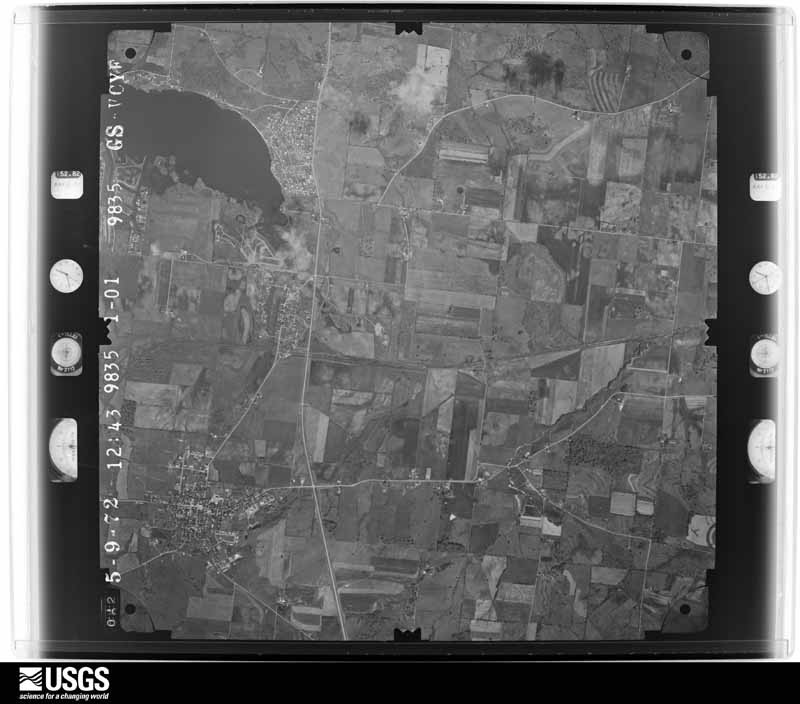
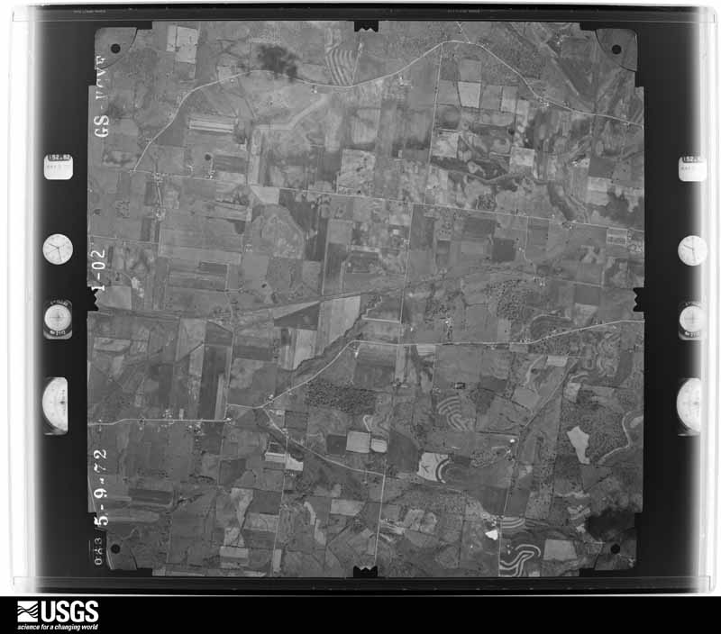
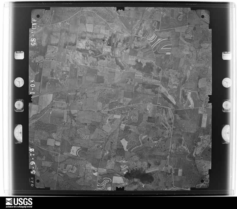
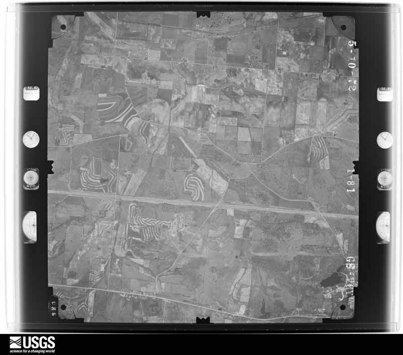
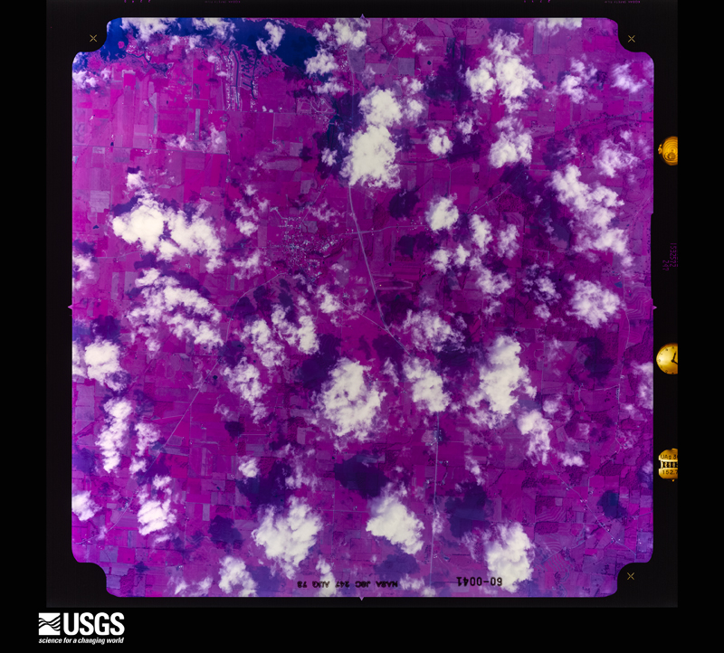
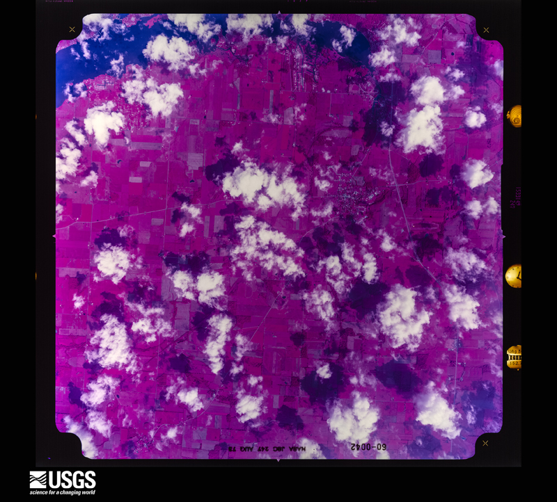
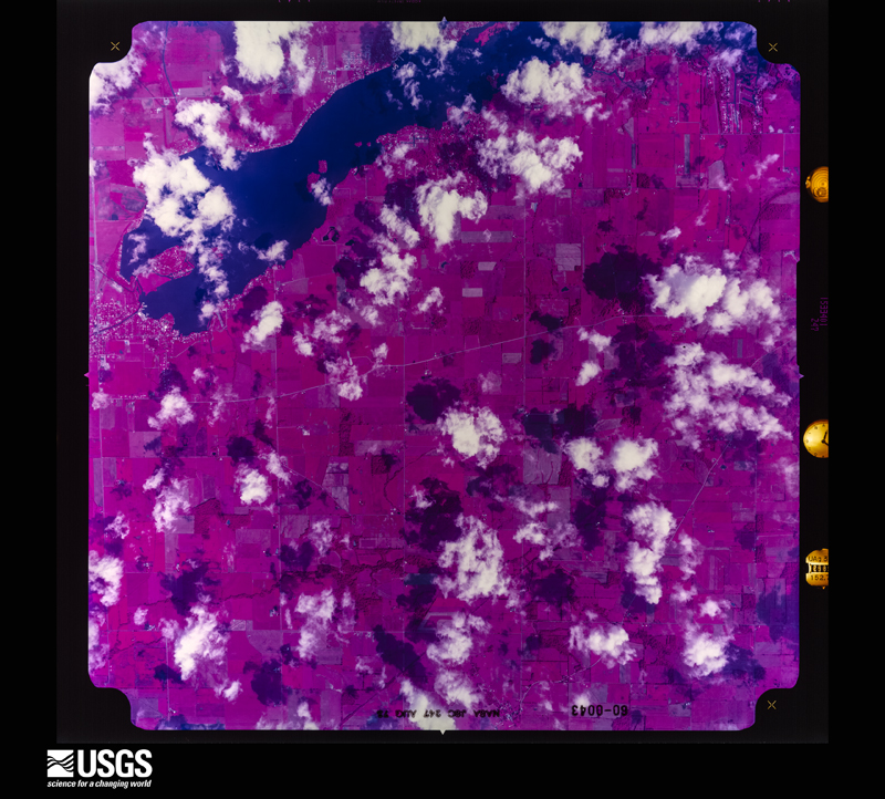
48 of 841 shown
Flown by the U.S. Geological Survey
between 1937 and 1989, the Aerial Photo Single Frames collection is
the definitive mid-century view of the land: fields, roads and rivers
as the camera saw them. 841 frames touch this county; the
selection below spreads across the decades of flights (at most four
per year), so one flight cannot crowd out the rest. The full set is
free to browse and download at
EarthExplorer under the dataset Aerial Photo Single
Frames.
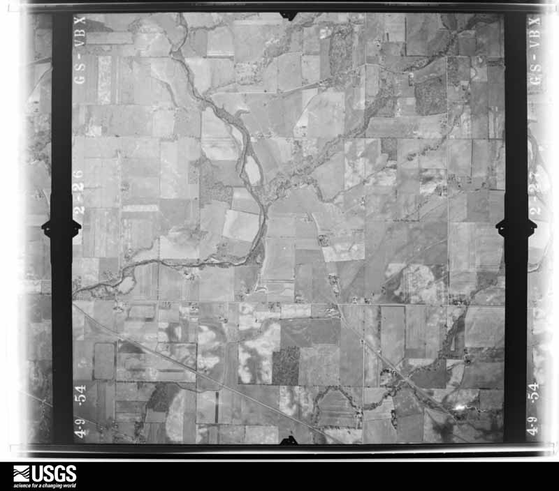
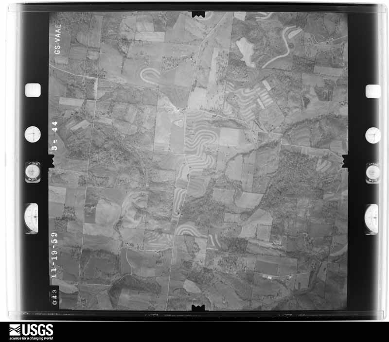
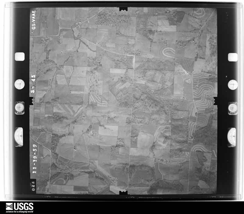
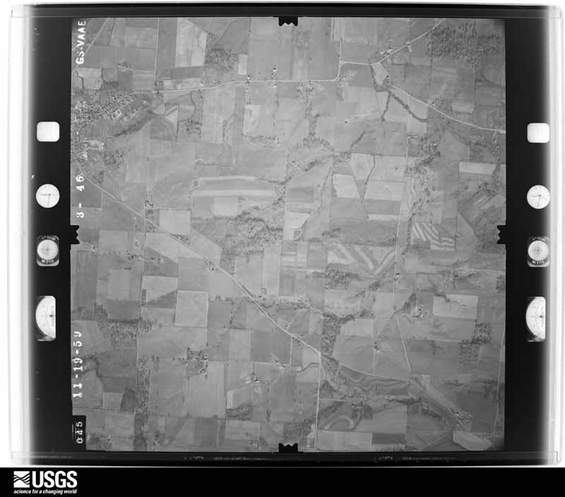
1948-09-01, scale 1:67596. U.S. Geological Survey aerial photograph.1948-09-01, scale 1:67074. U.S. Geological Survey aerial photograph.1953-03-01, scale 1:18000. U.S. Geological Survey aerial photograph.1953-03-01, scale 1:18000. U.S. Geological Survey aerial photograph.1953-03-01, scale 1:18000. U.S. Geological Survey aerial photograph.1953-03-01, scale 1:18000. U.S. Geological Survey aerial photograph.1954-04-09, scale 1:18000. U.S. Geological Survey aerial photograph.1954-04-09, scale 1:18000. U.S. Geological Survey aerial photograph.1954-04-09, scale 1:18000. U.S. Geological Survey aerial photograph.1954-04-09, scale 1:18000. U.S. Geological Survey aerial photograph.1959-11-19, scale 1:17000. U.S. Geological Survey aerial photograph.1959-11-19, scale 1:17000. U.S. Geological Survey aerial photograph.1959-11-19, scale 1:17000. U.S. Geological Survey aerial photograph.1959-11-19, scale 1:17000. U.S. Geological Survey aerial photograph.1960-04-12, scale 1:17000. U.S. Geological Survey aerial photograph.1960-04-12, scale 1:17000. U.S. Geological Survey aerial photograph.1960-04-12, scale 1:17000. U.S. Geological Survey aerial photograph.1960-04-12, scale 1:17000. U.S. Geological Survey aerial photograph.1963-05-06, scale 1:24000. U.S. Geological Survey aerial photograph.1963-05-06, scale 1:24000. U.S. Geological Survey aerial photograph.1963-05-06, scale 1:24000. U.S. Geological Survey aerial photograph.1963-05-06, scale 1:24000. U.S. Geological Survey aerial photograph.1965-04-29, scale 1:24000. U.S. Geological Survey aerial photograph.1965-04-29, scale 1:24000. U.S. Geological Survey aerial photograph.1965-04-29, scale 1:24000. U.S. Geological Survey aerial photograph.1965-04-29, scale 1:24000. U.S. Geological Survey aerial photograph.1968-02-09, scale 1:75273. U.S. Geological Survey aerial photograph.1968-02-09, scale 1:75273. U.S. Geological Survey aerial photograph.1968-02-09, scale 1:75273. U.S. Geological Survey aerial photograph.1968-03-18, scale 1:24000. U.S. Geological Survey aerial photograph.1970-06-07, scale 1:24000. U.S. Geological Survey aerial photograph.1970-06-07, scale 1:24000. U.S. Geological Survey aerial photograph.1970-06-07, scale 1:24000. U.S. Geological Survey aerial photograph.1970-07-16, scale 1:24000. U.S. Geological Survey aerial photograph.1971-04-16, scale 1:98658. U.S. Geological Survey aerial photograph.1971-04-16, scale 1:98658. U.S. Geological Survey aerial photograph.1971-04-16, scale 1:98658. U.S. Geological Survey aerial photograph.1971-04-16, scale 1:99228. U.S. Geological Survey aerial photograph.1972-05-10, scale 1:24000. U.S. Geological Survey aerial photograph.1972-05-10, scale 1:24000. U.S. Geological Survey aerial photograph.1972-05-10, scale 1:24000. U.S. Geological Survey aerial photograph.1972-05-10, scale 1:24000. U.S. Geological Survey aerial photograph.1973-08-16, scale 1:40066. U.S. Geological Survey aerial photograph.1973-08-16, scale 1:40066. U.S. Geological Survey aerial photograph.1973-08-16, scale 1:40968. U.S. Geological Survey aerial photograph.1973-08-16, scale 1:40968. U.S. Geological Survey aerial photograph.1974-05-01, scale 1:76000. U.S. Geological Survey aerial photograph.1974-05-01, scale 1:76000. U.S. Geological Survey aerial photograph.
City directories
1 volume
The "who lived here, by year" answer:
pre-1929 public-domain directory volumes naming the county's people,
machine-read and searchable as text.
The thermometers that kept this
county's weather, and the gages that watched its rivers, as the
federal records hold them. The extremes below are measured values
from those records, not estimates.
LANCASTER 2 NW1895 to 1952, hottest 39.4 C, coldest -30.6 C
LANCASTER 2 NW1936 to 1996, hottest 39.4 C, coldest -27.8 C
Who lived here in 1950, one enumeration
district at a time, as the Census Bureau described each district.
Each row opens its official National Archives result, with Population
Schedules and ED Maps available there.
23-14Greenfield township - That part north of County Hwy. 198, outside Carroll Village
23-15Greenfield township - That part south of County Hwy. 198, outside Lancaster city
23-16Hocking township: Hocking township - That part southeast of U.S. Hwy. 22, outside Lancaster city, excluding Ohio State Boys' Industrial School and Hospital
23-17Ohio State Boys' Industrial School and Hospital (In Hocking township)
23-18Hocking township - That part northwest of U.S. Hwy. 22, outside Lancaster city
23-19Lancaster township, coextensive with Lancaster city: Lancaster city - That part of Ward 1 Bounded by City limits; N. High; Fair Ave.; Columbus
23-20Lancaster city - That part of Ward 1 Bounded by City limits; Columbus; Reber Ave.. N. Front, Fair Ave., Hocking River; City limits
23-21Lancaster city - That part of Ward 1 Bounded by Hocking River; Hocking River; Sixth Ave.; Washington Ave.
23-22Lancaster city - That part of Ward 1 Bounded by City limits, Hocking River; Washington Ave.; Eighth Ave., Van Buren Ave.; City limits
23-23Lancaster city - That part of Ward 1 Bounded by City limits; Chesapeake and Ohio Railroad; Mulberry, Maud Ave., Ward line; City limits
23-24Lancaster city - That part of Ward 1 Bounded by Eighth Ave.; Washington Ave.; Mulberry; Chesapeake and Ohio Railroad, Van Buren Ave.
23-25Lancaster city - That part of Ward 1 Bounded by Sixth Ave.; Hocking River; Wheeling; Chesapeake and Ohio Railroad, Mulberry, Washington Ave.
23-26Lancaster city - That part of Ward 1 Bounded by Fair Ave., N. Front, Reber Ave.; Columbus; Sixth Ave.; Hocking River
23-27Lancaster city - That part of Ward 1 Bounded by Fair Ave.; N. High; Sixth Ave.; Columbus
23-28Lancaster city - That part of Ward 1 Bounded by Sixth Ave.; N. High; Wheeling; Columbus
23-29Lancaster city - That part of Ward 1 Bounded by Sixth Ave.; Columbus; Wheeling; Hocking River
23-30Lancaster city - That part of Ward 2 Bounded by City limits; City limits; Main; Ewing, Pleasant Rd., Cherry, Sheridan Dr.
23-31Lancaster city - That part of Ward 2 Bounded by City limits; Sheridan Dr., Cherry, Pleasant Rd., Ewing; Main, Angle, Wheeling; Madison Ave., King, Boyd
23-32Lancaster city - That part of Ward 2 Bounded by City limits; Boyd; Sixth Ave.; Mt. Pleasant Ave., Fair Ave., Fay Ave.
23-33Lancaster city - That part of Ward 2 Bounded by City limits; Fay Ave., Fair Ave., Mt. Pleasant Ave.; Sixth Ave.; N. High
23-34Lancaster city - That part of Ward 2 Bounded by Sixth Ave.; Mt. Pleasant Ave.; King; N. High
23-35Lancaster city - That part of Ward 2 Bounded by King; Mt. Pleasant Ave.; Wheeling; N. High
23-36Lancaster city - That part of Ward 2 Bounded by Sixth Ave.; Boyd, King, Madison Ave.; Wheeling; Mt. Pleasant Ave.
23-37Lancaster city - That part of Ward 3 Bounded by Main; City limits; City limits; City limits, Baldwins Run
23-38Lancaster city - That part of Ward 3 Bounded by Wheeling, Angle, Main; Baldwins Run; Lawrence; Wyandotte, Main, Eastwood
23-39Lancaster city - that part of Ward 3 Bounded by Wheeling; Eastwood, Main, Wyandotte, Lawrence, Baldwins Run; City limits; Maple, Lawrence, Mt. Pleasant Ave.
23-40Lancaster city - That part of Ward 3 Bounded by Wheeling; Mt. Pleasant Ave.; Chestnut; High
23-41Lancaster city - That part of Ward 3 Bounded by Chestnut; Mt. Pleasant Ave.; Locust; High
23-42Lancaster city - That part of Ward 3 Bounded by Locust; Mt. Pleasant Ave., Lawrence, Maple; City limits; Columbus, Water, High
23-43Lancaster city - That part of Ward 4, excluding Martens Hotel Bounded by Wheeling; High; Water; Columbus
23-45Lancaster city - That part of Ward 4 Bounded by Wheeling; Columbus; Pennsylvania Railroad; Hocking River
23-46Lancaster city - That part of Ward 4 Bounded by City limits, Ward line, Maud Ave., Mulberry; Chesapeake and Ohio Railroad, Wheeling, Hocking River; Hunters Run, City limits; City limits
23-47Lancaster city - That part of Ward 4 Bounded by Hunters Run; Hunters Run; Pennsylvania Railroad; City limits
23-48Lancaster city - That part of Ward 4 Bounded by Pennsylvania Railroad; S. Broad; Cleveland Ave., City limits; City limits
23-49Lancaster city - That part of Ward 4 Bounded by Columbus; Columbus, City limits; City limits; Cleveland Ave., S. Broad
23-50Liberty township: Baltimore village: Baltimore village - That part southeast of Paw Paw Creek
23-51Baltimore village - That part northwest of Paw Paw Creek
23-52Liberty township - That part north of County Hwy. 226
23-53Liberty township - That part south of County Hwy. 226 and north of State Hwy. 256, outside Baltimore village
23-54Liberty township - That part south of State Hwy. 256, outside Baltimore village
23-62Richland township - That part outside Rushville and West Rushville villages
23-63Rush Creek township: Bremen village: Bremen village - That part Bounded by Village limits; Village limits; Village limits; Angle, Marietta, Fort
23-64Bremen village - That part Bounded by Village limits; Fort, Marietta, Angle; Village limits; Village limits
23-65Rush Creek township - That part north of State Hwy. 37 and County Hwy. 304, outside Bremen village
23-66Rush Creek township - That part south of State Hwy. 37 and County Hwy. 304, outside Bremen village
23-67Violet township: Canal Winchester village - That part in Fairfield County comprising part of Violet township (Remainder of Canal Winchester village is in Madison township, Franklin County)
23-74Walnut township - That part west of New York Central Railroad, outside Millersport, Pleasantville and Thurston villages (Remainder of Walnut township is in Pleasantville village)
Businesses named in the atlases
70 businesses
Every Sanborn volume opens with a printed index
naming the town's mills, tanneries, hotels and works by proprietor. Those
indexes were read off the scanned sheets by machine and then matched to each
other, so a business surveyed four times appears here once, with the years it
survived. 13 of these 70 were named in more than one atlas. Each carries a
crop of the line it was read from: the spelling is the recogniser's and the
1880s lithographer's, and the scan behind it is the proof.
Every wildfire the federal occurrence
database records inside this county: 110 of them, burning about
345 acres. 0 started naturally and 0 were
recorded as arson. Each settlement page carries the fires within five
miles of it.
Reported cause
Fires
Debris and open burning
67
Power generation/transmission/distribution
14
Missing data/not specified/undetermined
13
Equipment and vehicle use
8
Recreation and ceremony
4
Smoking
3
Fireworks
1
The five largest, by the area the report
gives. None of them was recorded as arson.
Date
Cause
Size
Reported by
Name on the report
23 October 2015
Debris and open burning
50 acres
Ohio Department of Natural Resources
3048
25 March 2003
Missing data/not specified/undetermined
35 acres
Ohio Department of Natural Resources
BERNE TWP.
10 April 2012
Missing data/not specified/undetermined
30 acres
Ohio Department of Natural Resources
not named
28 February 2012
Debris and open burning
25 acres
Ohio Department of Natural Resources
not named
11 March 2012
Debris and open burning
25 acres
Ohio Department of Natural Resources
not named
7 March 2012
Debris and open burning
25 acres
Wayne National Forest
SR 522
7 March 2006
Missing data/not specified/undetermined
10 acres
Wayne National Forest
GREEN FIRE
15 October 2019
Debris and open burning
10 acres
Ohio Department of Natural Resources
15349
Every settlement page carries the fires within five
miles of it - see the settlement index below.
Storms, 1961 to
2026
60 of 503 shown
The
NOAA Storm Events Database holds
503 reports for this county, causing 2 deaths,
20 injuries and about $6,289,258 in recorded property damage.
Each settlement page carries the reports that name it.
Kind of event
Reports
Thunderstorm Wind
279
Hail
114
Flash Flood
41
Flood
38
Tornado
24
Heavy Rain
5
Funnel Cloud
1
Lightning
1
The most serious of them, by death, then
injury, then recorded damage. The accounts are quoted exactly as the
forecast office filed them.
The first sign of tornadic damage was observed along Election House Road NW, where an outbuilding lost several metal panels from the roof. These panels were found embedded within the trees of the neighboring property across the road. Additional tree damage and light structure damage was observed there. The tornado then crossed Rainbow Drive NW, with a clear path of tree damage observed on both sides of the road. Damage of similar intensity was found on the west and east sides of Lancaster Kirkersville Rd NW. The tornado then crossed Coonpath Road NW, between Stringtown Road NW and Lancaster Kirkersville Rd NW. Additional minor structure damage was observed at several properties along Stringtown Road NW, north of Coonpath Road NE. Additional tree damage was observed along the northern portions of the Pleasant Valley Golf Course. Intensity remained weak, but a clear path of damage continued to be found along several properties on Tschopp Rd NE. The tornado then crossed Lancaster Newark Road NE with visible tree damage on both sides of the roadway. The final section of tree damage was located along Old Mill Road NE. No additional damage was observed east of this location so the tornado likely weakened and dissipated before crossing Old Millersport Road NE. Throughout the path, the intensity of the tornado did not appear to change drastically, with similarly observed damage from start to finish and maximum winds estimated to be 80 mph.
Tree and light structure damage was first observed at a property to the west of Lancaster Thornville Road NE, shortly after entering the town of Pleasantville. Due to the expansive fields southwest of town, this is believed to be the starting point for this brief and weak tornado. The tornado cut a path across South Main Street, through the southern portions of the town. Along South Main Street, lofted metal roof panels were observed scattered in nearby powerlines and trees. Farther to the east, between South Main Street and Lincoln Avenue, numerous trees were either snapped or uprooted. Light structure damage was also observed on Pleasant Court. The tornado entered nearby fields to the east of Lincoln Avenue. The final observed sign of damage was at a property south of Pleasantville Road NW, near the water tower, and this is where the tornado is believed to have dissipated. While this one mile long tornado is considered to be on the weaker side, a path of convergent damage was visible through the southern portions of Pleasantville. The strongest portion of the tornado was likely along South Main Street, with maximum estimated winds of 85 mph.
Flash flooding along Fetters Run near College Avenue caused damage to the roadway, as well as significant damage to the Lancaster Festival stages, equipment, and vehicles.
Multiple water rescues occurred in the apartment complex along Sater Drive where water was over three feet deep. Additionally, over 30 vehicles were flooded in deep water.
The tornado touched down south of Millersport near the intersection of Millersport Road and Canal Road where tree damage was observed. The tornado then continued to the east and directly hit a farm on the north side of Canal Road. At this location, metal grain bins were tossed and rolled and trees were uprooted. A masonry wall was also flattened and numerous objects were impaled into the ground as well. A newly constructed barn had the roof removed and numerous pieces of sheet metal were strewn into adjoining fields. The tornado then continued on and hit two residences on Lake Road. A modular home had the roof completely removed and tossed and trees were uprooted. A barn was completely destroyed in the area as well. At another residence, one of the exterior walls was buckled from the wind blowing the door of the home open. Corn debris from a nearby field was driven into the ground. A stick was found driven into the siding on the front of the home.
Thunderstorm winds caused a large tin roof garage to collapse, damaging two cars and three motorcycles near Rushville. Several trees were downed, some onto a barn near Rushville.
A house was damaged, a barn was destroyed, several roofs were damaged, a storage shed was blown down, large trees were down, and power lines were snapped due to damaging thunderstorm winds.
The tornado touched down in southwest Fairfield County near Dozer and Valentine Roads at 1656 EST. The tornado crossed into Pickaway County a half mile east of Valentine Road on Tarlton Road at 1659 EST. The tornado continued in Pickaway County until 1701 EST. The tornado lifted while near Tarlton. The tornado was on the ground for 1.76 miles in Fairfield County and on the ground for 1.09 miles in Pickaway County. The total path length of this tornado was 2.85 miles. The average path width was 200 yards. While in Fairfield County, two empty grain silo were picked up and tossed about 100 yards near Dozer and Valentine Roads. Some of the mechanical parts within the silo were ripped up from the foundation and tossed 15 yards from the silos. Further to the east, on the Fairfield County side of Tarlton Road, more significant damage occurred. Numerous trees were snapped and a few trees were uprooted in this area. A tree branch impaled the side of a home and was driven through the siding. Roof and siding damage also occurred at this location. At a neighboring property, up to twenty percent of the roof was lifted and windows had been blown out. There was also damage to the siding at this location as well. Further east along the south side of Tarlton Road in Pickaway County, additional structural and tree damage occurred. A parked tractor trailer was pushed over due to the tornado. A neighboring home suffered significant roof damage in which the roof became detached from the structure. An awning had been torn off the detached garage at this location and the entire garage structure was leaning slightly. Additionally, tree damage occurred further east along Tarlton Road. Property damage estimates in Fairfield County are around sixty-thousand dollars with crop damage estimated around two-thousand dollars. Property damage estimates in Pickaway County are around thirty-thousand dollars with crop damage estimated around two-thousand dollars.
An insurance building along Lancaster-Newark Road NE near Creekside Drive was overrun with several feet of flowing water from Fetters Run. Six cars in the parking lot were also affected.
A roof was ripped off a house causing moderate damage. Numerous trees were downed in the vicinity of the house. Several barns also sustained some damage. An NWS storm survey determined that the damage was caused by microburst winds of 75 to 85 mph with a few higher gusts.
Large limbs were knocked down by thunderstorm winds across the county, downing power lines in spots. A large storefront window was shattered in Amanda. Several of the trees in Lancaster fell on cars causing damage.
The tornado touched down east of Baltimore along Canal Road. Damage to a home was done at this location and a garage was destroyed. In addition windows were also blown out at this location. Numerous large trees were snapped and uprooted in the area. Additional damage was found along Millersport Road where a barn was damaged. Estimated maximum wind speed based on damage is around 100 miles per hour.
Multiple swift water rescues were needed for animals trapped inside of a building submerged with three to four feet of water on Granville Pike. The building backs up to Fetters Run stream.
A weak microburst caused minor damage to a few structures on the north side of town. One house and a car wash sustained minor roof and siding damage. A wooden sign was also blown over. All debris was blown unidirectionally.
Numerous trees and power lines were blown down across the eastern part of the county. There was minor damage to siding and gutters on a few homes on Betz Road, to the west of Lancaster.
The tornado first caused damage to a travel trailer located to the southwest of the River Valley Mall off of Fair Avenue. It then damaged some trees in the vicinity of the Hocking River. A pickup truck was flipped on its top in the River Valley Mall parking lot. In addition, 20 to 25 cars had their windows blown out in the vicinity of the River Valley Mall along with some trees and lights poles which were broken off. The last damage was some minor roof damage to an adjacent storage building.
Twenty trees were downed along the south shore of Buckeye Lake. Three homes sustained minor damage from the tree debris. Several large limbs were thrown into the lake, and a few metal flag poles were bent. Damage may have come from a possible microburst.
A tractor trailer was blown over due to damaging thunderstorm winds.
Mines and
quarries
13 recorded
The Survey's mineral resources record
lists 13 workings inside this county. 6 still
produce and 7 are closed or unrecorded. Each settlement
page carries the workings within five miles of it.
Commodity
Workings
Sand and Gravel, Construction
13
The least common of them first, because a
county's hundredth gravel pit says nothing its first ten did not.
Museum specimens collected inside this
county and catalogued with a date and a place: 4,478 of them, by
kingdom 3,531 animalia, 609 fungi, 323 plantae, 7 protozoa, 6 unrecorded. Each is a physical object in a named collection, not a
sighting. Held by Ohio State University - Bird Division, Columbus, OH (OSUM), Ohio State University Acarology Laboratory, Columbus, OH (OSAL), Ohio State University - Fish Division, Columbus, OH (OSUM), NY, Ohio State University - Mammal Division, Columbus, OH (OSUM), Ohio State University - Amphibian Division, Columbus, OH (OSUM) among others, and each settlement page carries
the specimens collected near it.
The oldest of them. A specimen proves
something was collected on that day; its absence proves nothing.
Pioneer Period and Pioneer People of Fairfield County, Ohio devotes a chapter to each township:
its boundaries and streams, who settled it and when, the mills, the
schools and the churches. All 11 are reproduced here in full. Each row
shows the township's own shape and where it lies in the county, drawn from
the Census Bureau's boundary. Which settlements belong to which township
is computed from that same boundary, not taken from the book.
Everyone Pioneer Period and Pioneer People of Fairfield County, Ohio stops to write about, with
the section that describes them. Among them are the men who founded the
place and governed the Territory. Each name opens the passage itself, in
the words of 1901.
Named settlements recorded in the Geographic Names
Information System, each with the topographic sheets covering it. Villages,
hamlets and abandoned places alike. Each is shown with the watercourse or
landform it stands on and the survey quadrangle it falls on. The 5
places that were also surveyed for fire insurance come first, with the
number of atlases and photographs held for them.
The complete index, with nothing left out.
Each of these is a separate record with its own page: a federal survey
report, or the case file that argued a property on to the National
Register. Both are public domain and reproduced word for word.
Topographic sheets. USGS Historical Topographic Map Collection, county index, measured from the bulk metadata.
Fire insurance maps. Library of Congress Sanborn collection, faceted to this county.
Photographs. Each place queried individually against the Library of Congress Prints and Photographs search.
Wildfire. Short, Karen C. 2022. Spatial wildfire occurrence data for the United States, 1992-2020 [FPA_FOD_20221014]. 6th Edition. Fort Collins, CO: Forest Service Research Data Archive. https://doi.org/10.2737/RDS-2013-0009.6 Collected with United States Government funding and usable without additional permissions or fees.
Specimens. Global Biodiversity Information Facility (GBIF), https://www.gbif.org/. Only records licensed CC0 or CC BY are used. Records licensed CC BY-NC are excluded because this site carries advertising. Images are checked individually and any whose licence is non-commercial, no-derivatives or unreadable is refused.
Mines and quarries. USGS Mineral Resources Data System (MRDS) https://mrdata.usgs.gov/mrds/ A work of the United States government, no copyright under 17 U.S.C. 105.
Storms. NOAA National Centers for Environmental Information, Storm Events Database https://www.ncei.noaa.gov/stormevents/ A work of the United States government, no copyright under 17 U.S.C. 105. Narratives are quoted verbatim from the National Weather Service report and are not edited or summarised.
 Block
Block